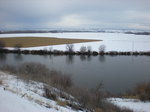
Elevation of N 6th St, Payette, ID, USA

Location: United States > Idaho > Payette County > Payette >

Longitude: -116.93804

Latitude: 44.0866894

Elevation: 654m / 2146feet

Barometric Pressure: 94KPa

Elevation Map:

elevation map of N 6th St, Payette, ID, USA

Satellite Map:

Satellite map of N 6th St, Payette, ID, USA

Related Photos:

oregon idaho rivers snakeriver otw
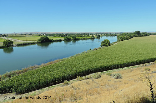
The Snake River
oregon rivers snakeriver idahostate absolutelyperrrfect
The Snake River
ambulance amliner unitedambulanceservice americancoachesamliner typei idahoems privateems fruitlandidaho united90
United Ambulance Service
square squareformat iphoneography instagramapp uploaded:by=instagram foursquare:venue=4e18aea8d1648b834835220a
Well, we have been driving for hours through the sleet and snow and will most likely miss our flight. The silver lining is this beautiful view and the fact that we can see the road again! ❄️????⛄️☁️
square squareformat iphoneography instagramapp uploaded:by=instagram
What a view to white water raft in...
oregon volcano or oregontrail malheurriver extinctvolcano volcaniceruptions malheurbutte inactivevolcano ontarioor valeor malheurcountyor oregontrailmushroom
Malheur Butte - an extinct volcano
mountains oregon cattle cows country barns weathered farms weatheredwood redbarns oldfarms canonphotography mountainscenes oregonlandscapes countrylandscapes
Old Time Country Feeling
winter sunset snow reflection ice nature beauty oregon canon landscape eos wintersunset northwest idaho 7d snakeriver plains wildwest i84 fruitland riverscape snakeriverplain interstate84 hdrsunset treasurevalley oregonidaho eos7d idahooregon dtwpuck scottelliottsmithson
Snake River Winter Sunset
winter snow mountains sunrise or i84 nikkor18200 nikond90
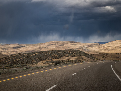
I-84 Eastern Oregon
old railroad panorama ontario oregon barn vintage high nikon cross dynamic farm nick days processing coolpix imaging perla range hdr p500 2015
The Old Days
ontario oregon graffiti eastern gangs bmc surenos13 brownmagicclique
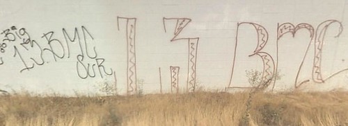
BROWN MAGIC CLICKA 13
oregon or landscapes malheurcounty wheat northamerica unitedstates us
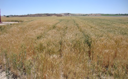
Malheur River Valley Wheat Field (Malheur County, Oregon)
travel oregon nikon butte joel malheur joelmetlen metlen
Malheur Butte, Oregon
oregon or landscapes malheurcounty northamerica unitedstates us
Malheur River Valley (Malheur County, Oregon)
road travel usa ontario nature beautiful oregon america outdoors drive us driving unitedstates jeep united roadtrip wanderlust adventure explore states exploration jk adventurous greatamericanroadtrip
Road Trip 2013: Heading Home
Make sure not to go over the limit...
oregon malheur
Near Malheur, Oregon
oregon malheur
Near Malheur, Oregon
the big nasty
2009_07_21-14_11_32-IMG_1066
snakeriver
Rosslyn's Birthday Road Trip 008
Illinois, Iowa, Nebreaska