Elevation of Payette, ID, USA
Location: United States > Idaho > Payette County >
Longitude: -116.93377
Latitude: 44.0782195
Elevation: 655m / 2149feet
Barometric Pressure: 94KPa
Elevation Map:
Satellite Map:
Related Photos:
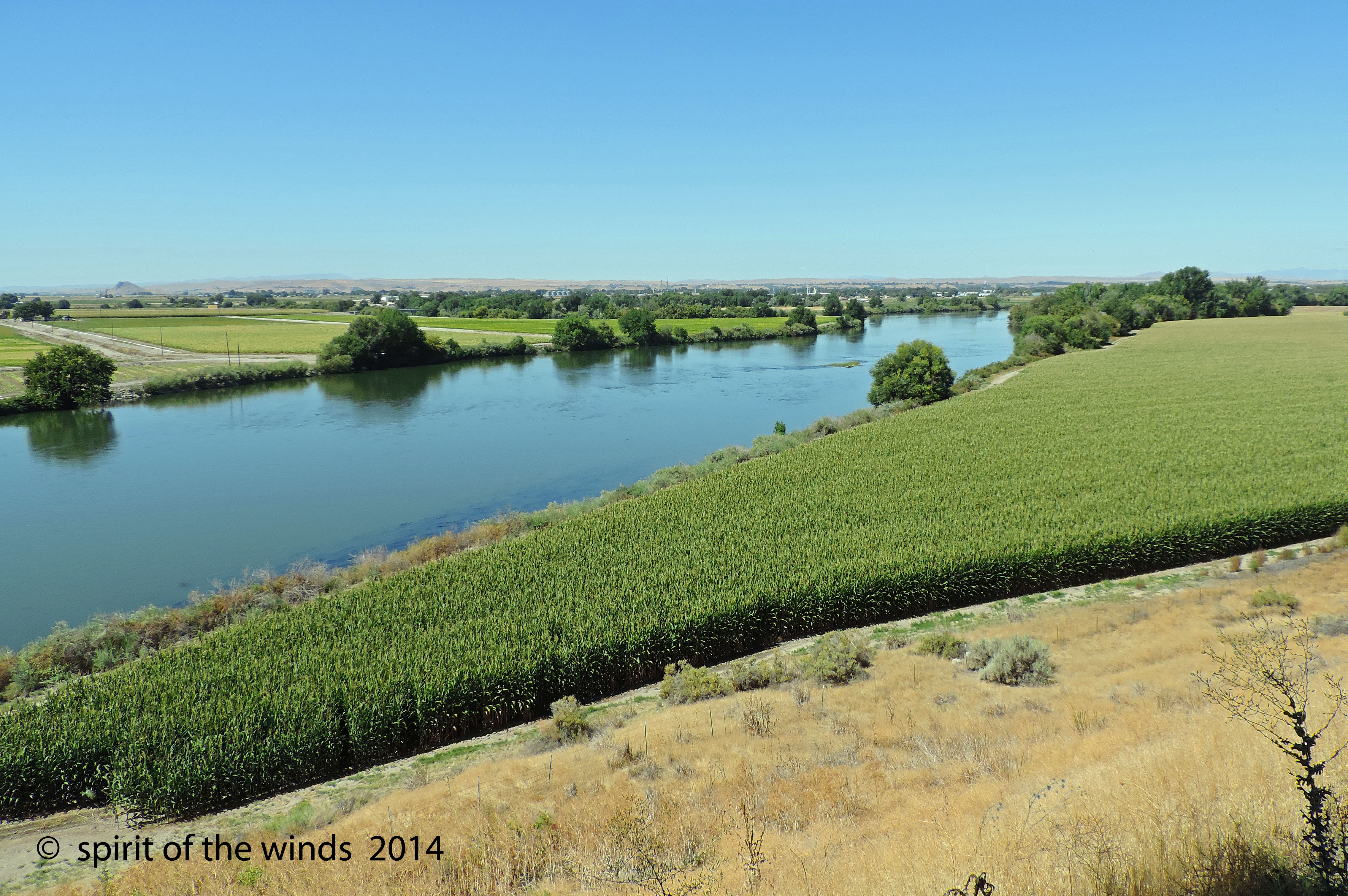
The Snake River
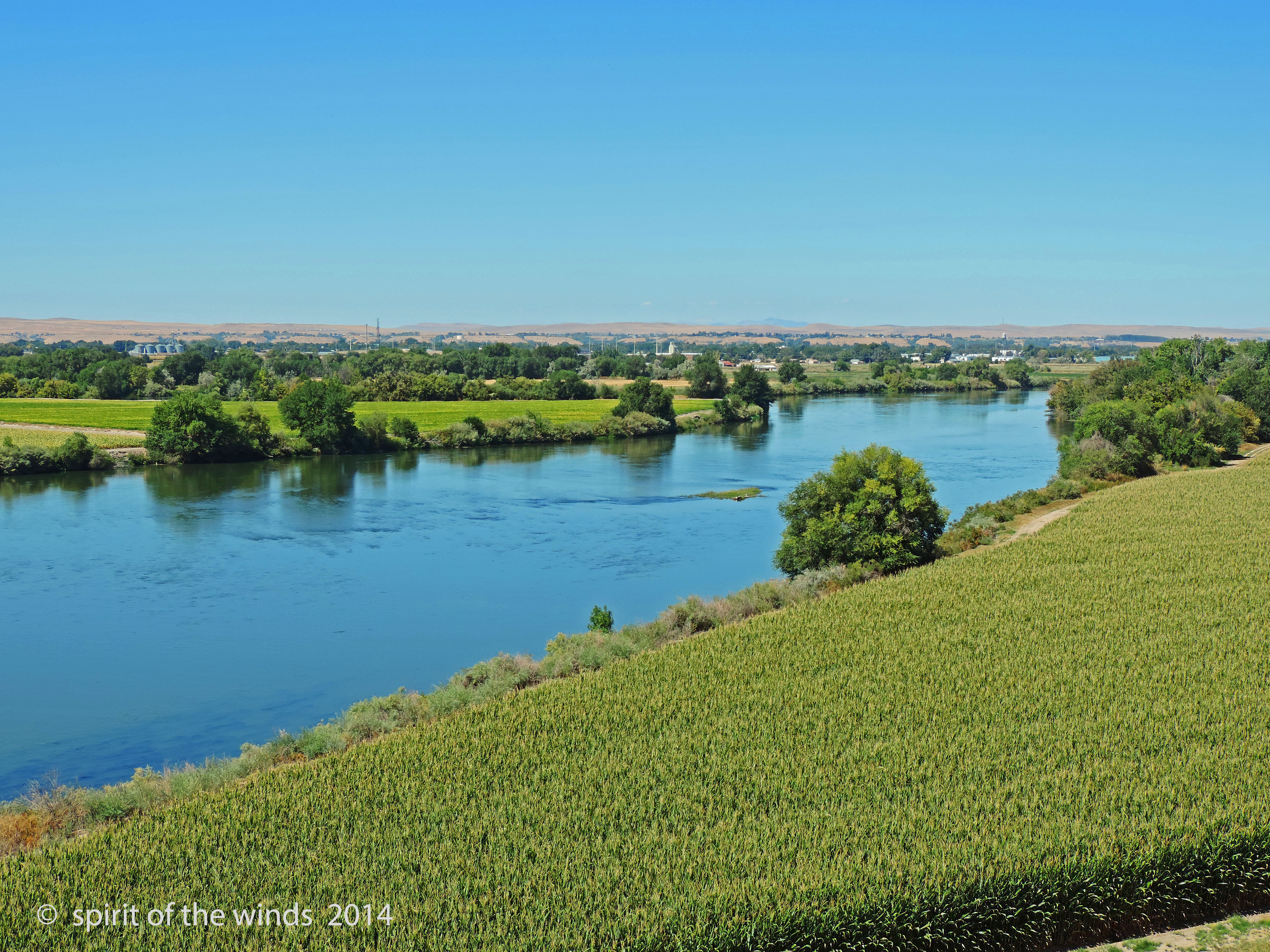
The Snake River
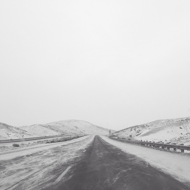
Well, we have been driving for hours through the sleet and snow and will most likely miss our flight. The silver lining is this beautiful view and the fact that we can see the road again! ❄️????⛄️☁️
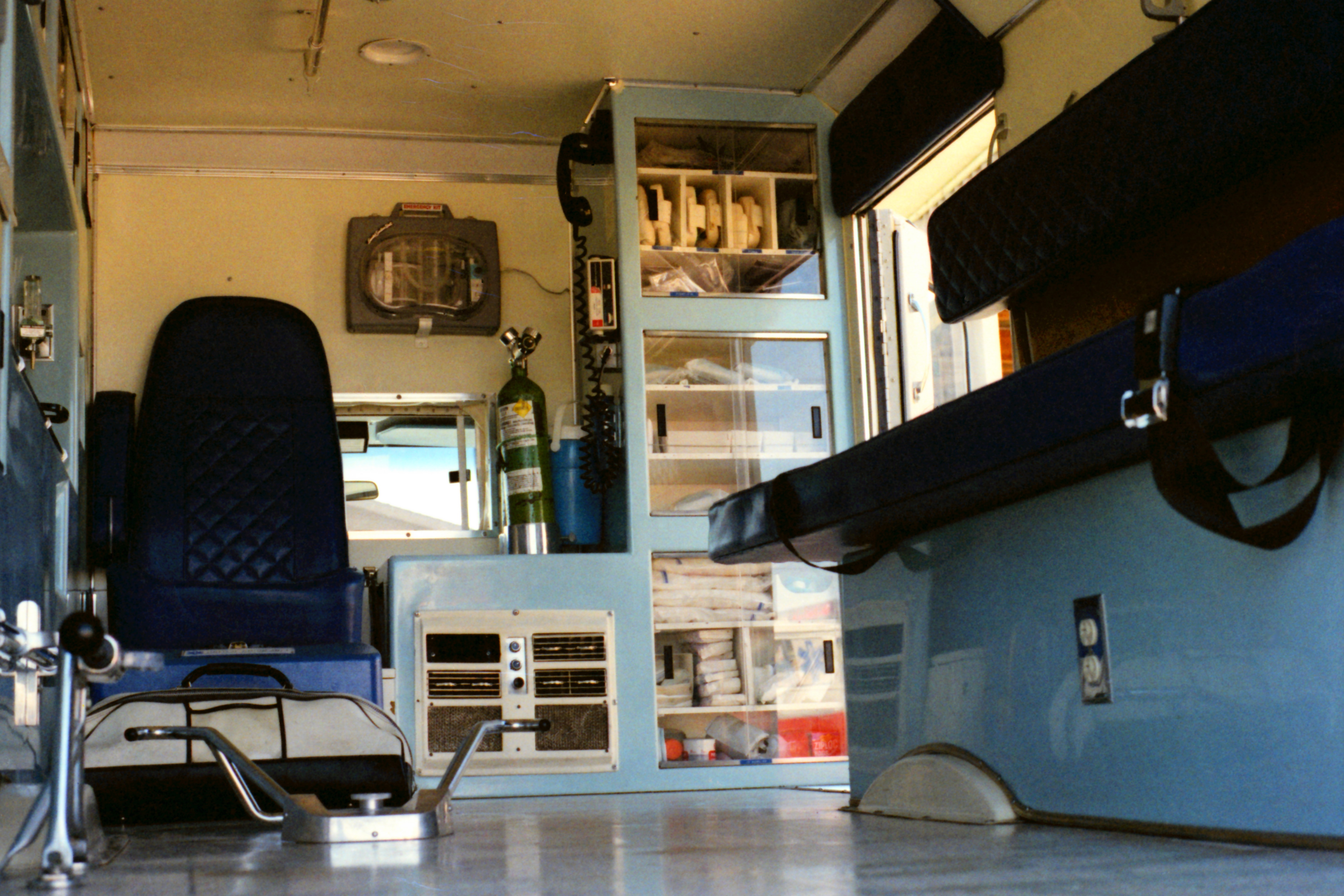
United Ambulance Service

DSC_2346 (1)

DSC_2347 (1)

DSC_2327 (1)

DSC_2538 (2)

DSC_2342 (1)

DSC_2533 (3)

DSC_2341 (1)

DSC_2331 (1)

DSC_2330 (1)

DSC_2509 (4)
Topographic Map of Payette, ID, USA
Find elevation by address:

Places in Payette, ID, USA:
Places near Payette, ID, USA:
1120 N 6th St
Manser Dr, Payette, ID, USA
River Rd, Payette, ID, USA
2317 Nw 11th St
NW 16th St, Fruitland, ID, USA
Southeast 1st Avenue
Ontario
4655 Hyline Rd
517 Sw 2nd St
1273 Spring Creek Ln
602 W 1st St
Idaho Elks Hearing And Balance Center: Ontario
SW 4th St, Fruitland, ID, USA
Fruitland
57 Nw 16th St
Ramey
Ontario Heights Rd, Ontario, OR, USA
Onion Ave, Ontario, OR, USA
Southwest Avenue
Elm St, New Plymouth, ID, USA
Recent Searches:
- Elevation of Corso Fratelli Cairoli, 35, Macerata MC, Italy
- Elevation of Tallevast Rd, Sarasota, FL, USA
- Elevation of 4th St E, Sonoma, CA, USA
- Elevation of Black Hollow Rd, Pennsdale, PA, USA
- Elevation of Oakland Ave, Williamsport, PA, USA
- Elevation of Pedrógão Grande, Portugal
- Elevation of Klee Dr, Martinsburg, WV, USA
- Elevation of Via Roma, Pieranica CR, Italy
- Elevation of Tavkvetili Mountain, Georgia
- Elevation of Hartfords Bluff Cir, Mt Pleasant, SC, USA