Elevation of OR-86, Richland, OR, USA
Location: United States > Oregon > Baker County >
Longitude: -117.26110
Latitude: 44.78142
Elevation: 723m / 2372feet
Barometric Pressure: 93KPa
Elevation Map:
Satellite Map:
Related Photos:
Summit Loop Rd
North East Lone Fir
Baker County Tourism – basecampbaker.com 17256

Halfway Panorama
Baker County Tourism – basecampbaker.com 69
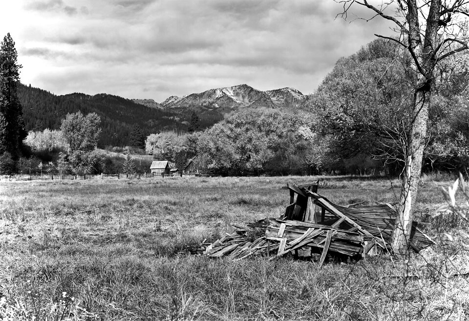
B/W Study

Baker County Tourism – basecampbaker.com 6900
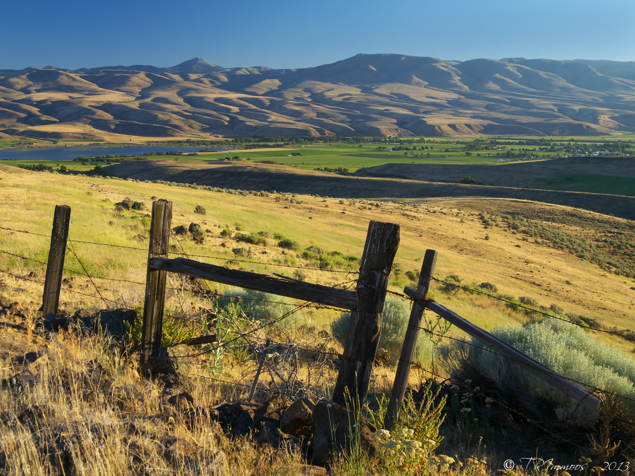
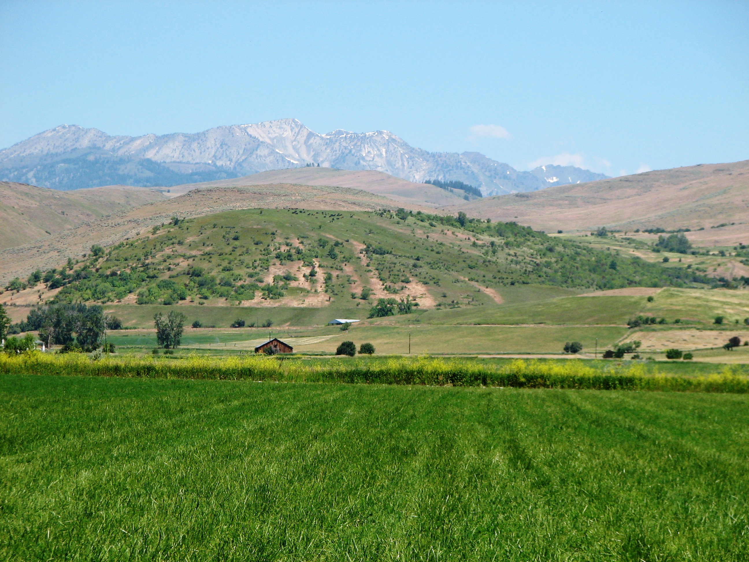
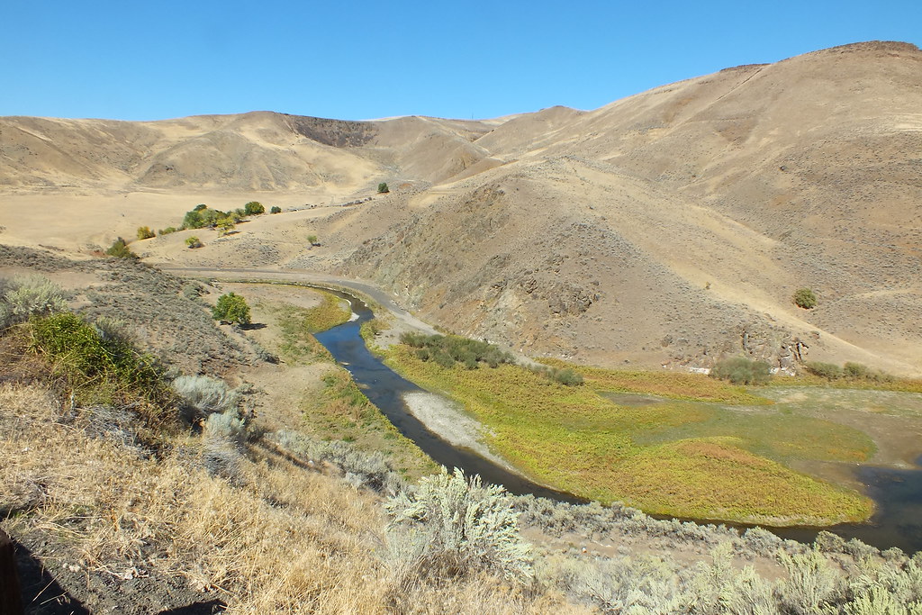
Eagle Valley, Oregon
Powder River panorama

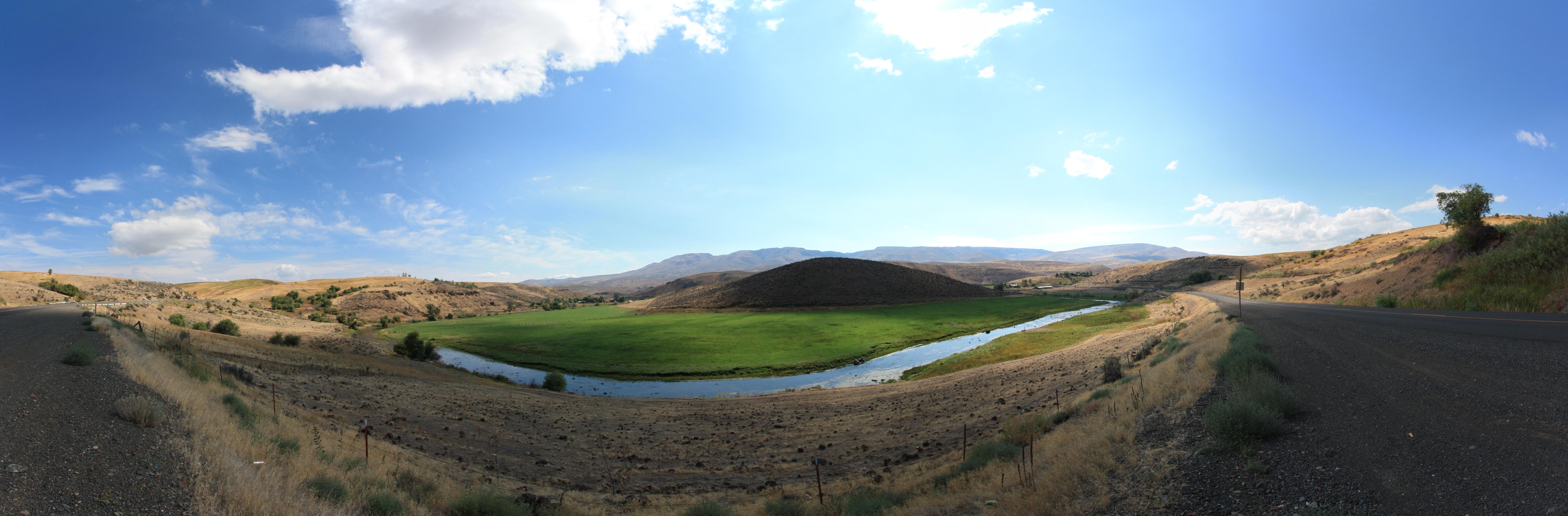
Gover Lane Panorama

Baker County Tourism – basecampbaker.com 3921

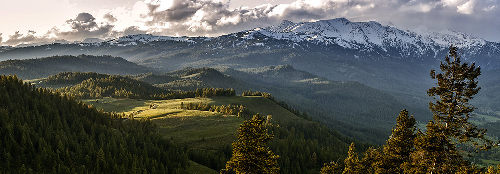
Cloud and mountain sunset melee
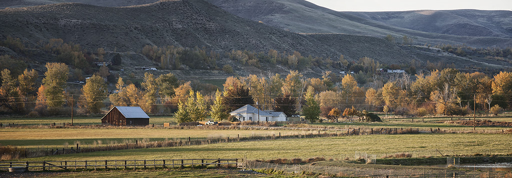
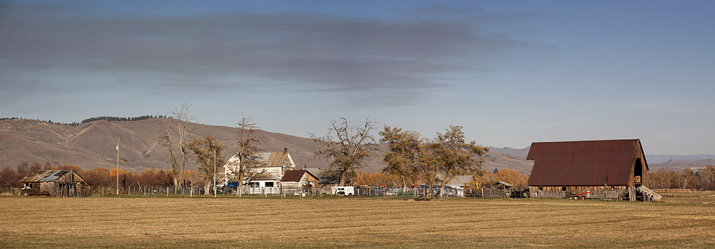
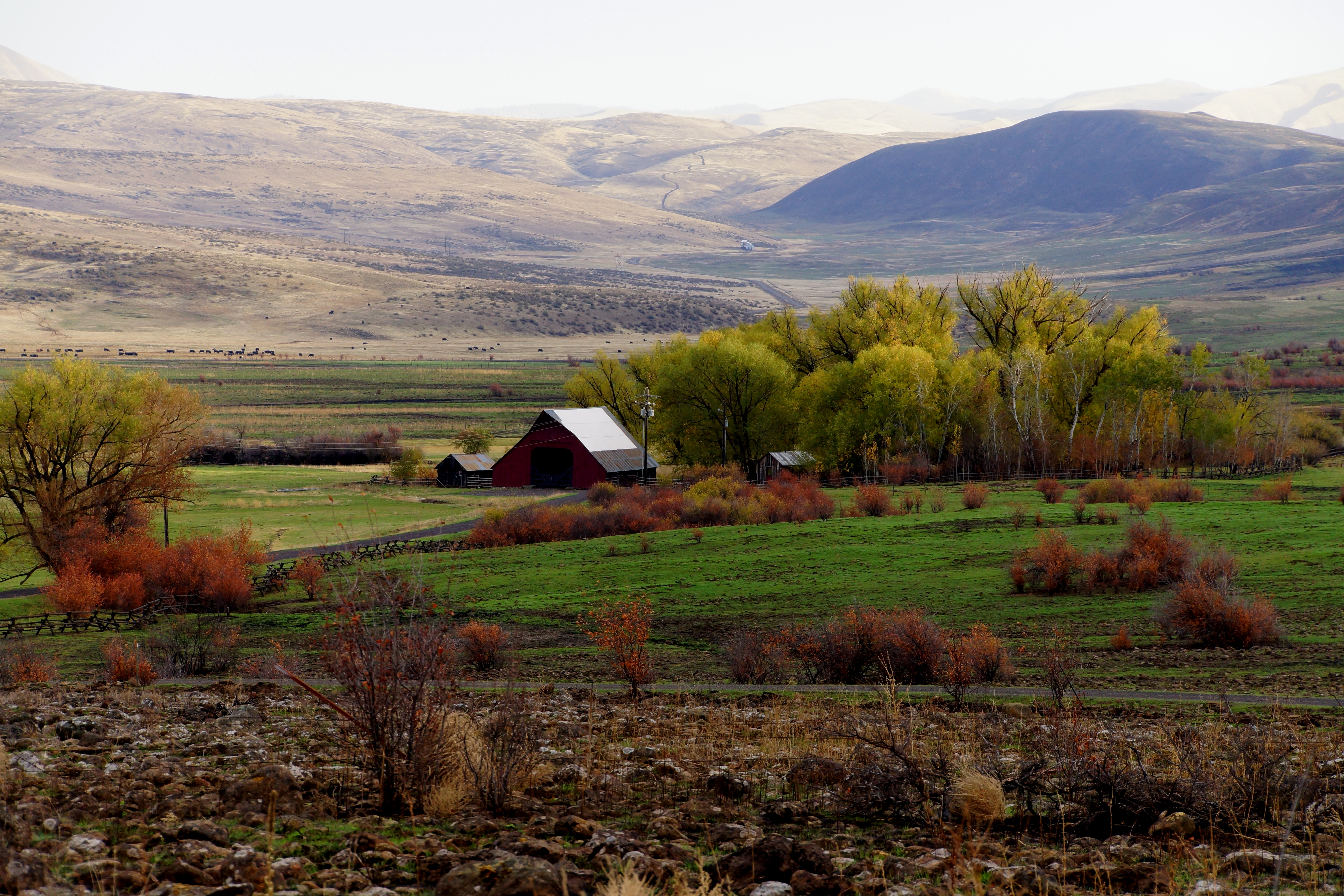
Saw Mill Farm

Baker County Tourism - basecampbaker.com 773

Carry on
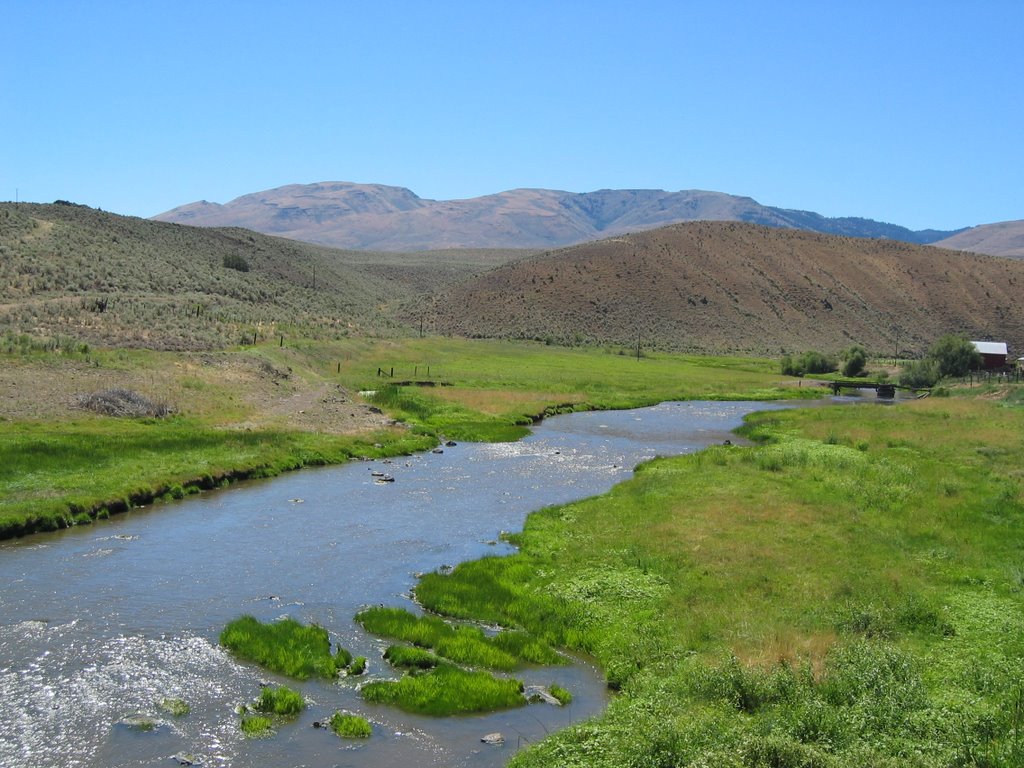
Powder River
Powder River, Oregon
Baker County Tourism – basecampbaker.com 3374

Baker County Tourism – basecampbaker.com 38907
Baker County Tourism - basecampbaker.com 772
2004-08-08 0103

Baker County Tourism – basecampbaker.com 24842

Baker County Tourism – basecampbaker.com 38913
Eastern Oregon Landscape
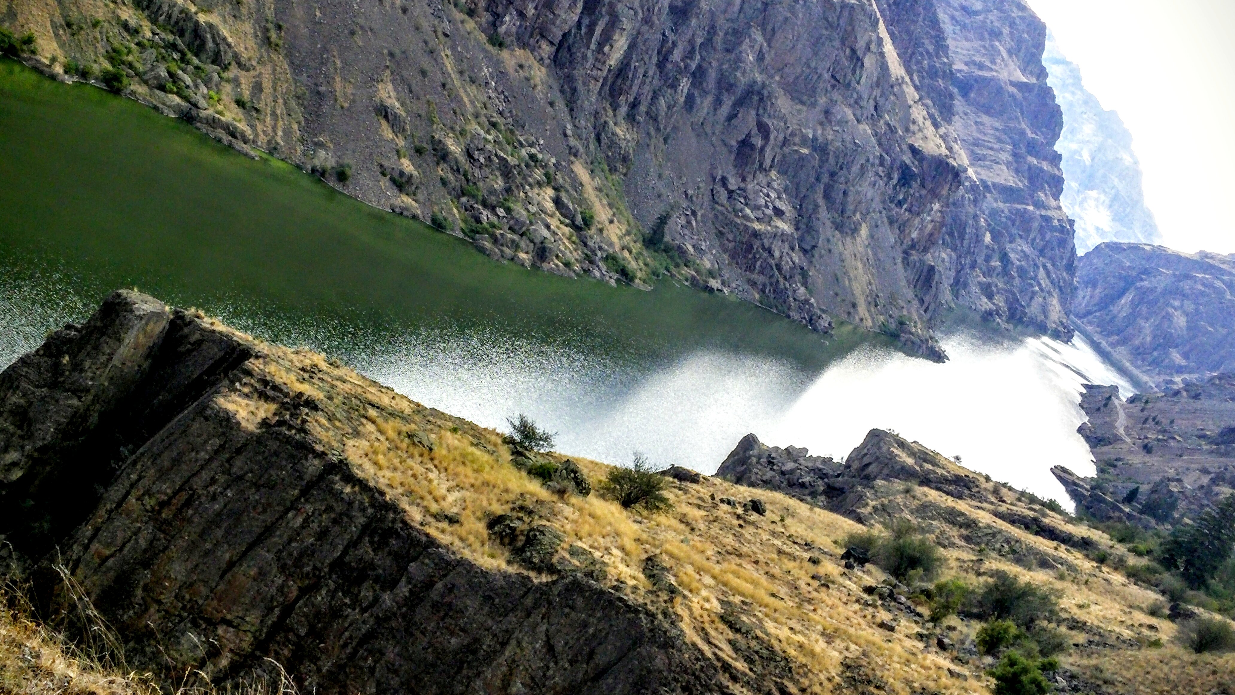
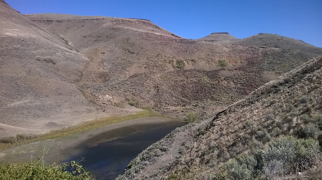
Black Point, Hell's Canyon
Topographic Map of OR-86, Richland, OR, USA
Find elevation by address:

Places near OR-86, Richland, OR, USA:
Richland
Durkee, OR, USA
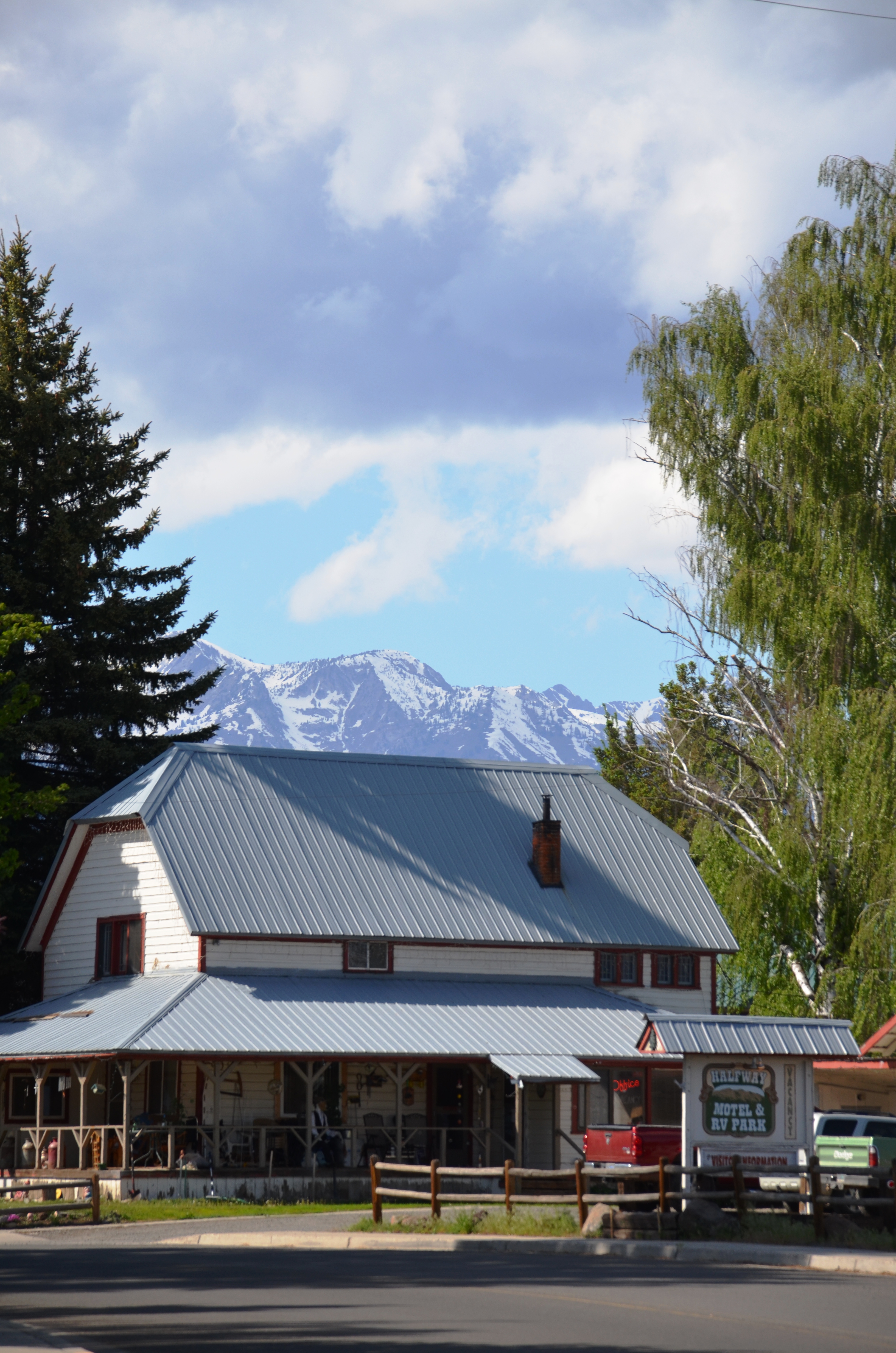
Halfway
Pine Town Ln, Halfway, OR, USA
Durkee
33060 Shirttail Creek Rd
Weatherby
Dixie
Interstate 84
Baker County
Huntington
Copperfield Campground
Farewell Bend
1098 Rock Creek Rd
Conductor Rd, Huntington, OR, USA
927 Conductor Rd
705 Church St
770 River Bend Ln
Pioneer Ln, Huntington, OR, USA
Baker City
Recent Searches:
- Elevation of Corso Fratelli Cairoli, 35, Macerata MC, Italy
- Elevation of Tallevast Rd, Sarasota, FL, USA
- Elevation of 4th St E, Sonoma, CA, USA
- Elevation of Black Hollow Rd, Pennsdale, PA, USA
- Elevation of Oakland Ave, Williamsport, PA, USA
- Elevation of Pedrógão Grande, Portugal
- Elevation of Klee Dr, Martinsburg, WV, USA
- Elevation of Via Roma, Pieranica CR, Italy
- Elevation of Tavkvetili Mountain, Georgia
- Elevation of Hartfords Bluff Cir, Mt Pleasant, SC, USA