Elevation of Durkee, OR, USA
Location: United States > Oregon > Baker County > Durkee >
Longitude: -117.36092
Latitude: 44.6476756
Elevation: -10000m / -32808feet
Barometric Pressure: 295KPa
Elevation Map:
Satellite Map:
Related Photos:

Paradise Unknown
Bright lighting... 20091009_6305

I'm not sure what this is

Cement Plant Road 1
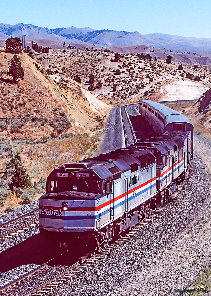
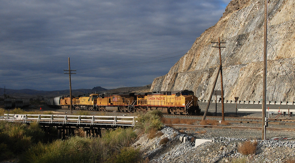
The Pioneer Pulls the Hill

Getting closer… 20091009_6289

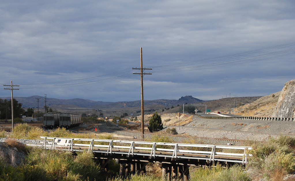
Durkee Hillside
Durkee Hillside
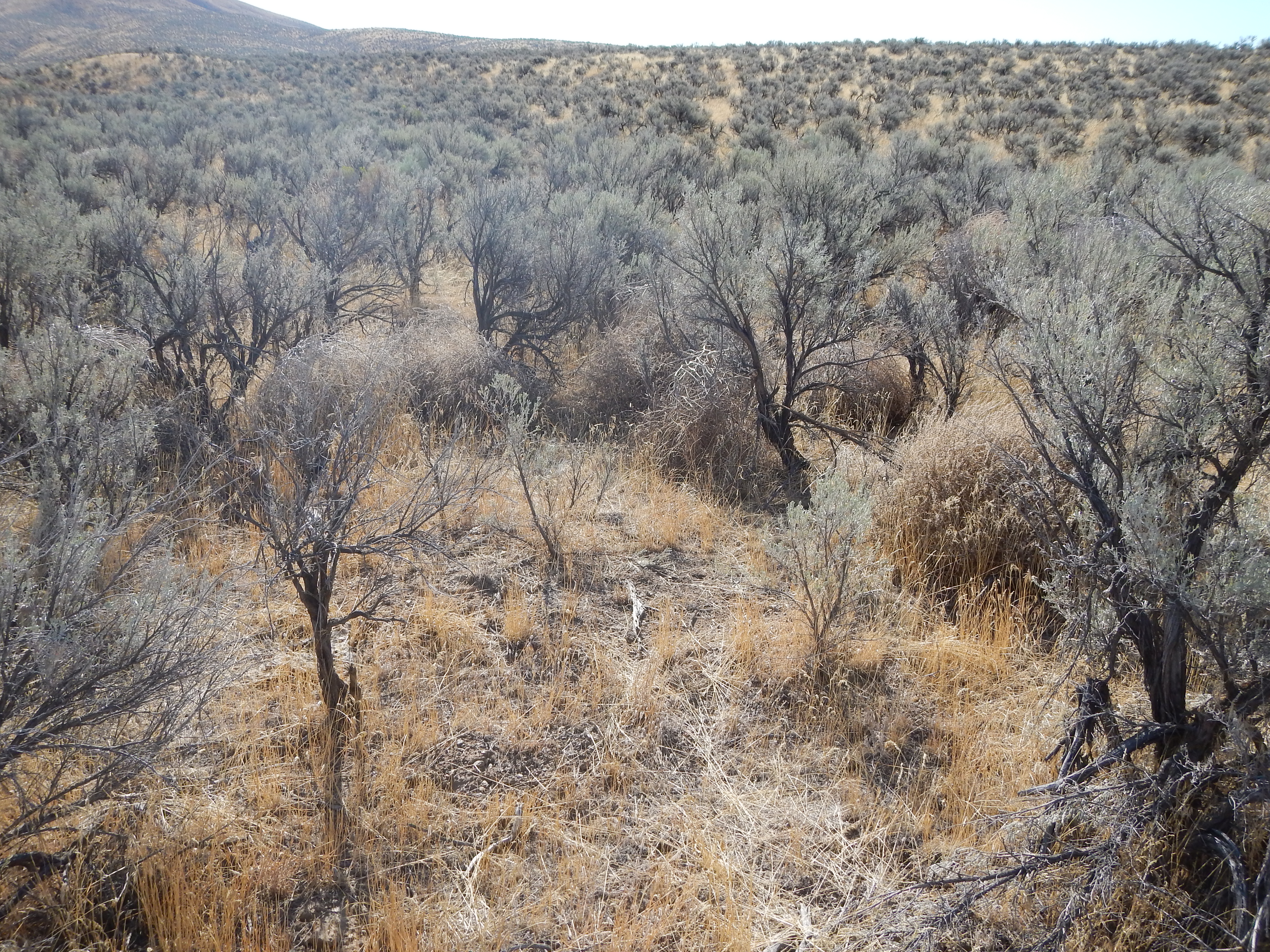
Bromus tectorum south of Baker City

Westbound Intermodal

Baker County Tourism – basecampbaker.com 1762

Bromus tectorum south of Baker City
Thar she blows---again!... 20091009_6277

Baker County Tourism – basecampbaker.com 3614

Baker County Tourism – basecampbaker.com 380

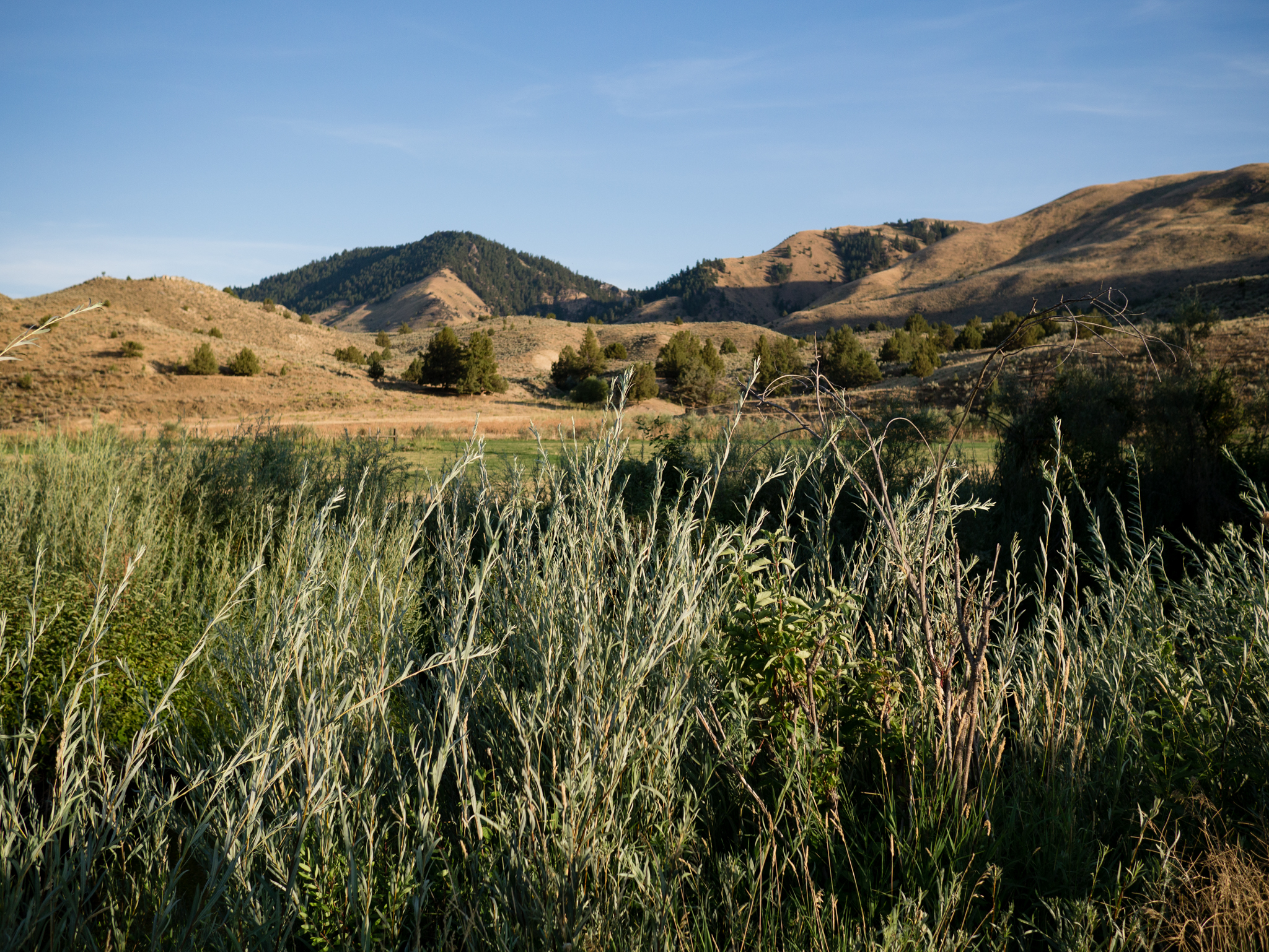
Ranch camp 2011

Eastern Oregon winter
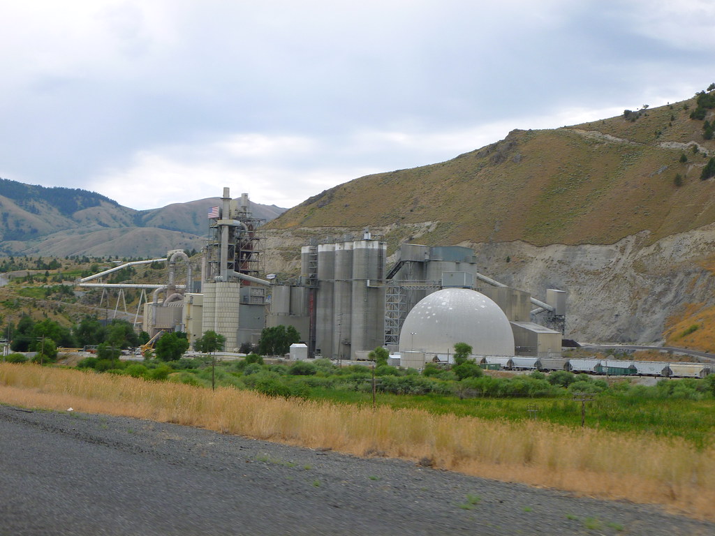
Ash Grove Cement Company

Ranch camp 2011
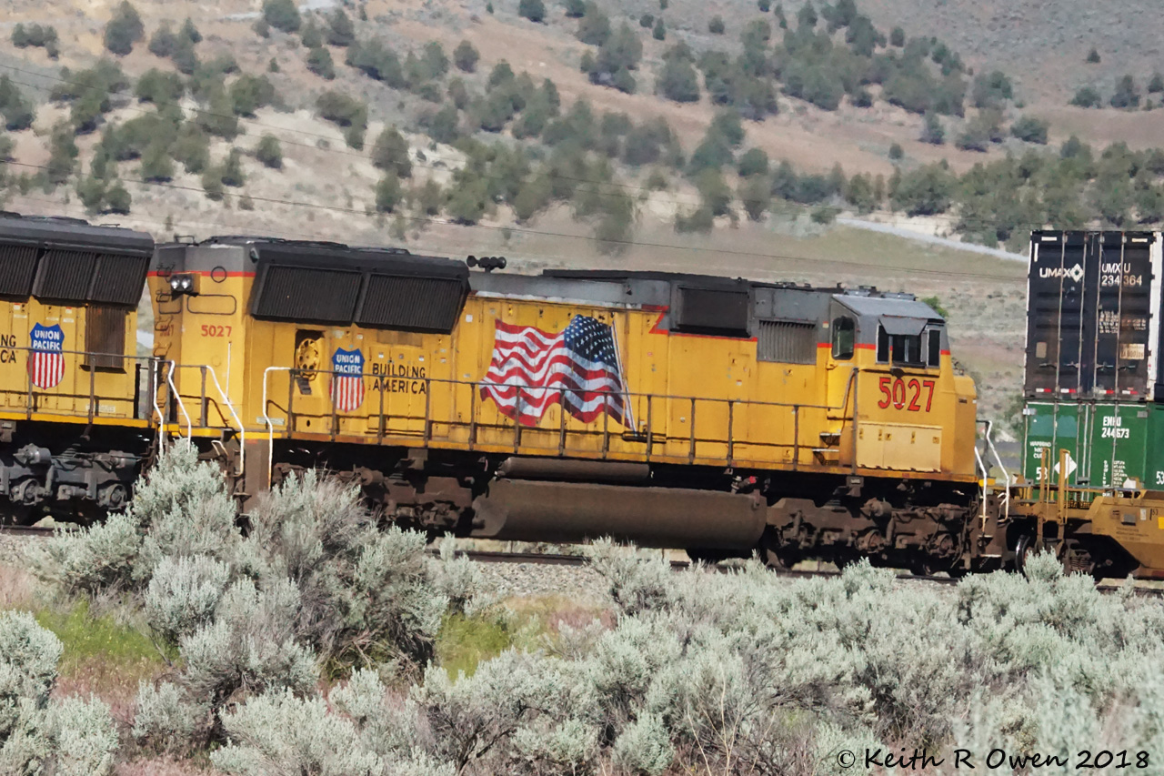
Westbound Intermodal

Ranch camp 2011

cement plant

Ranch camp 2011
Topographic Map of Durkee, OR, USA
Find elevation by address:

Places near Durkee, OR, USA:
33060 Shirttail Creek Rd
Durkee
Weatherby
36917 Or-86
Dixie
Richland
Interstate 84
Huntington
Baker County
Halfway
Pine Town Ln, Halfway, OR, USA
Farewell Bend
Pioneer Ln, Huntington, OR, USA
John Day Hwy, Brogan, OR, USA
Conductor Rd, Huntington, OR, USA
1098 Rock Creek Rd
927 Conductor Rd
705 Church St
770 River Bend Ln
Baker City
Recent Searches:
- Elevation of Corso Fratelli Cairoli, 35, Macerata MC, Italy
- Elevation of Tallevast Rd, Sarasota, FL, USA
- Elevation of 4th St E, Sonoma, CA, USA
- Elevation of Black Hollow Rd, Pennsdale, PA, USA
- Elevation of Oakland Ave, Williamsport, PA, USA
- Elevation of Pedrógão Grande, Portugal
- Elevation of Klee Dr, Martinsburg, WV, USA
- Elevation of Via Roma, Pieranica CR, Italy
- Elevation of Tavkvetili Mountain, Georgia
- Elevation of Hartfords Bluff Cir, Mt Pleasant, SC, USA