Elevation map of Baker County, OR, USA
Location: United States > Oregon >
Longitude: -117.67692
Latitude: 44.7652304
Elevation: 1094m / 3589feet
Barometric Pressure: 89KPa
Elevation Map:
Satellite Map:
Related Photos:
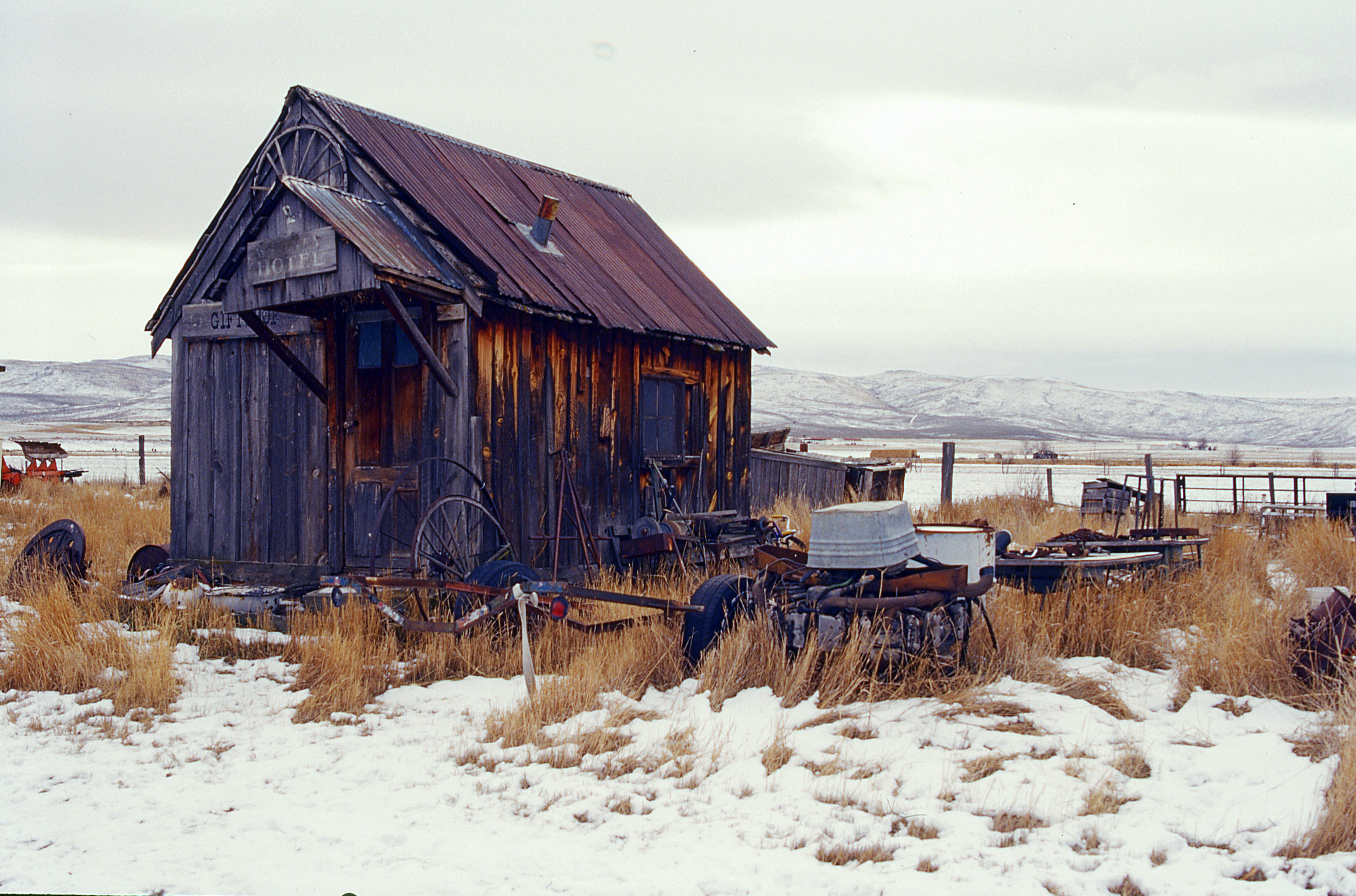
Old West. . . Stuff

Coffee House

One more view of the amazing #abandoned #motel at #sunset that was the highlight and unexpected find of the trip. I used to drive Maryland to LA to Seattle and back with my parents every summer as a kid from the mid-60s to 1980. Loved it and I took photos
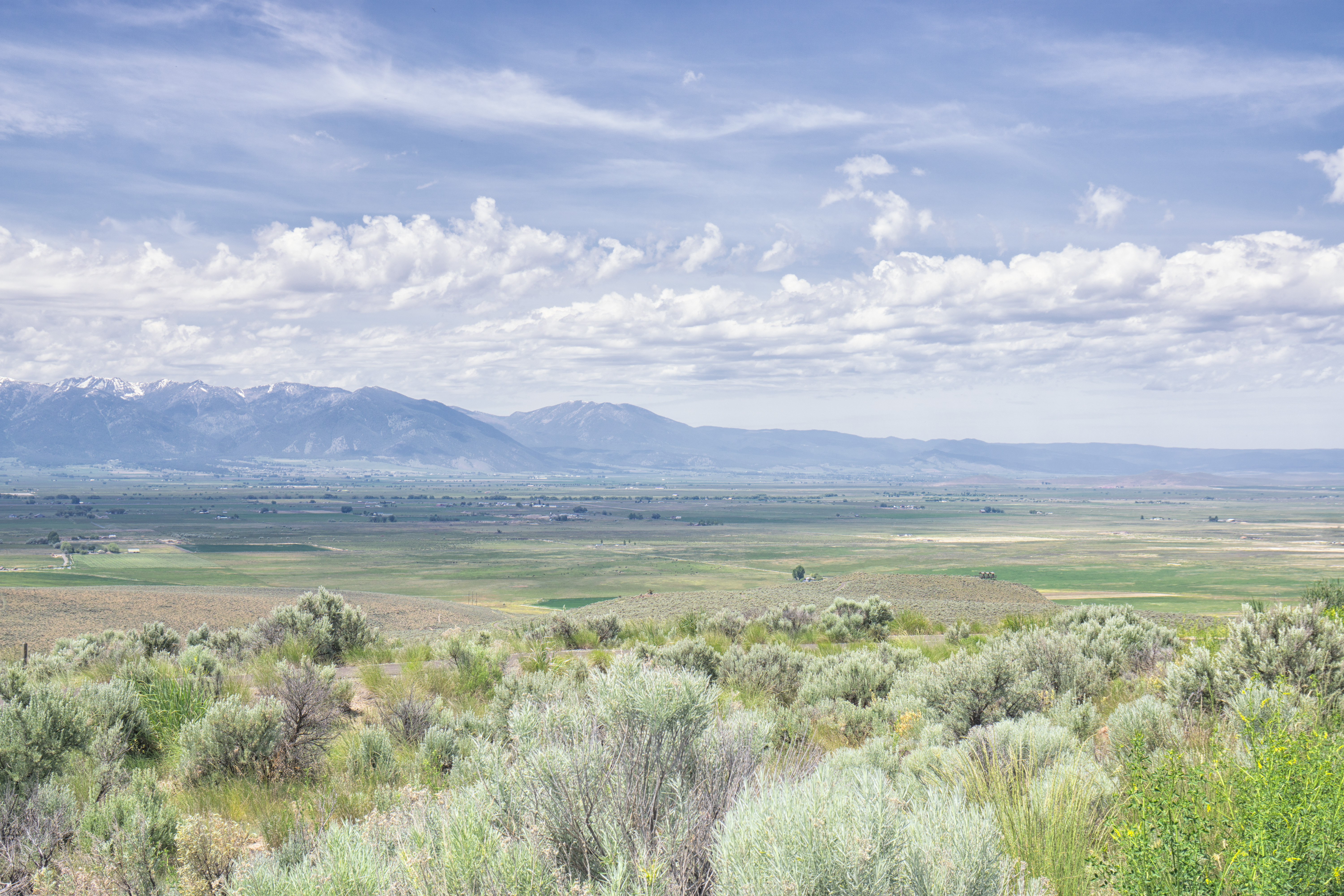
Baker County Tourism – basecampbaker.com 1289

Baker County Tourism – basecampbaker.com 1527
#3126 view from DL1857

Baker sunset

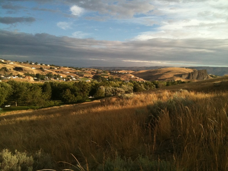
Baker City, Oregon

Baker County Tourism – basecampbaker.com 1528
Baker County Tourism – basecampbaker.com 1537

Best Western Sunridge in Baker City, OR

sunset view of Baker City
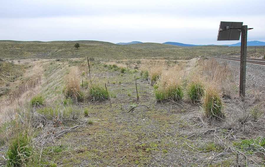
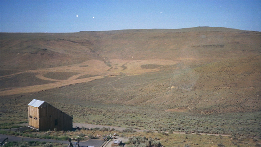
Abandoned wye at Encina, Oregon... 20090513_7336

Inducted into the Loyal Order of Water Buffalos
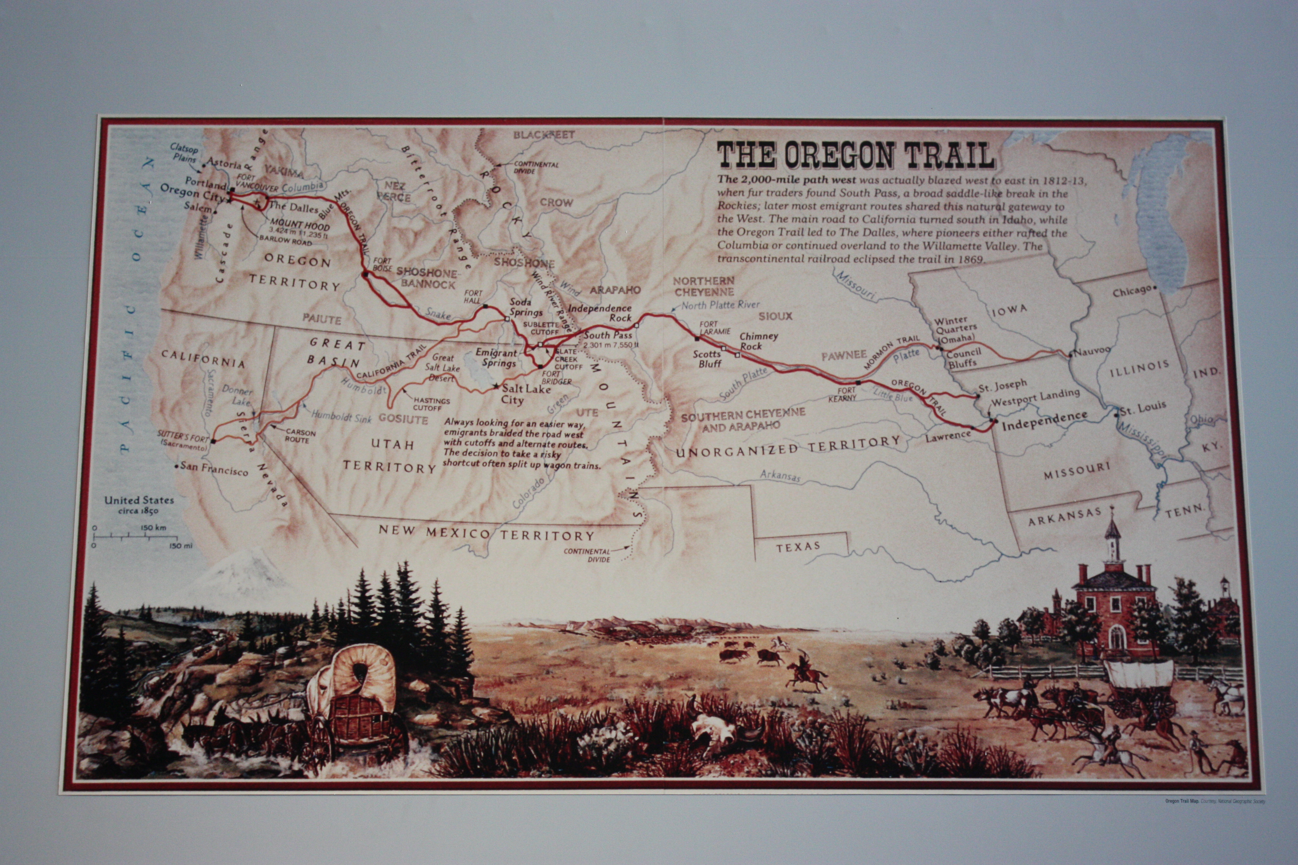
The Oregon Trail Map
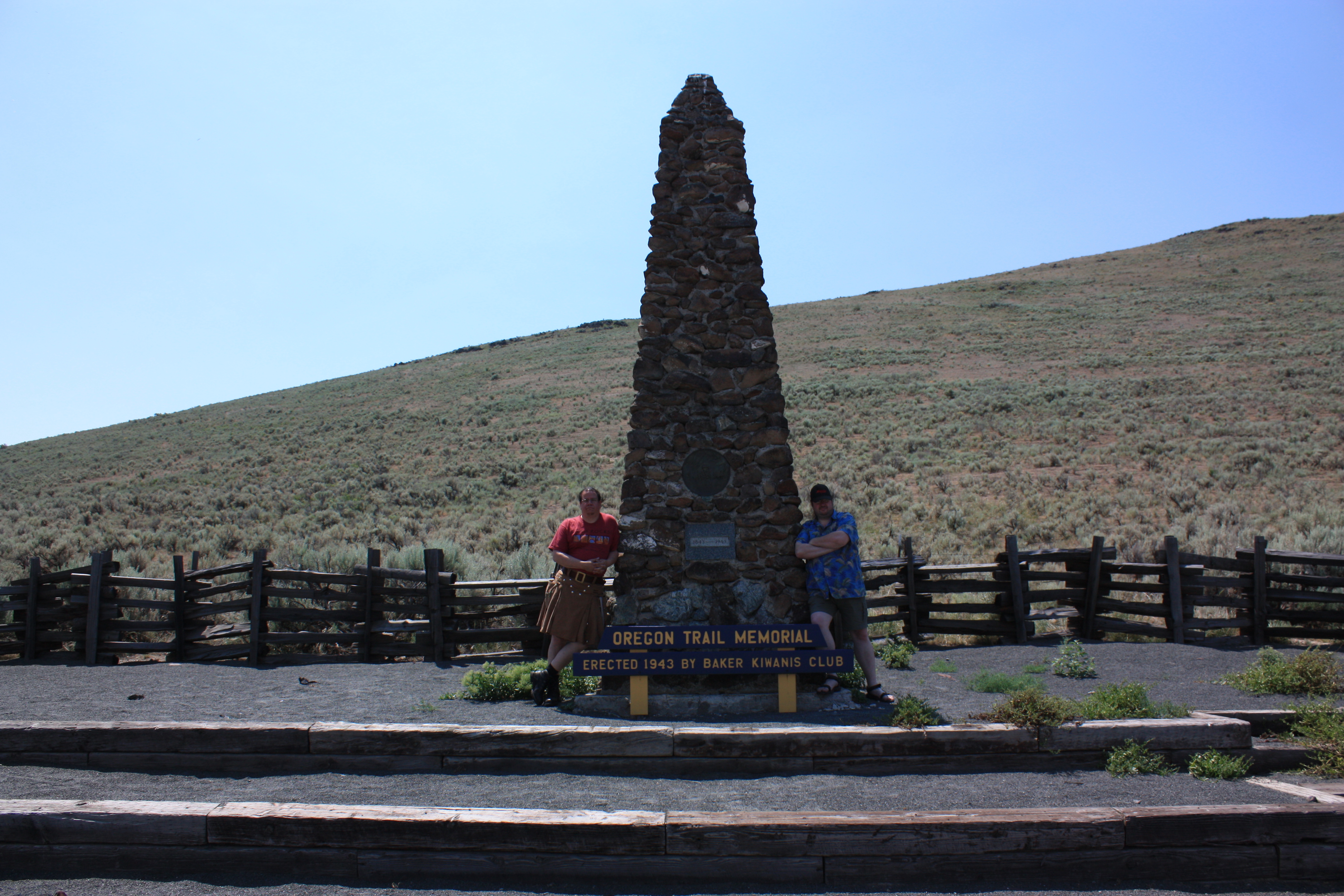
Me and Ian on the Trail

Baker City, Oregon
Baker County Tourism – basecampbaker.com 1536

Baker County Tourism – basecampbaker.com 1538
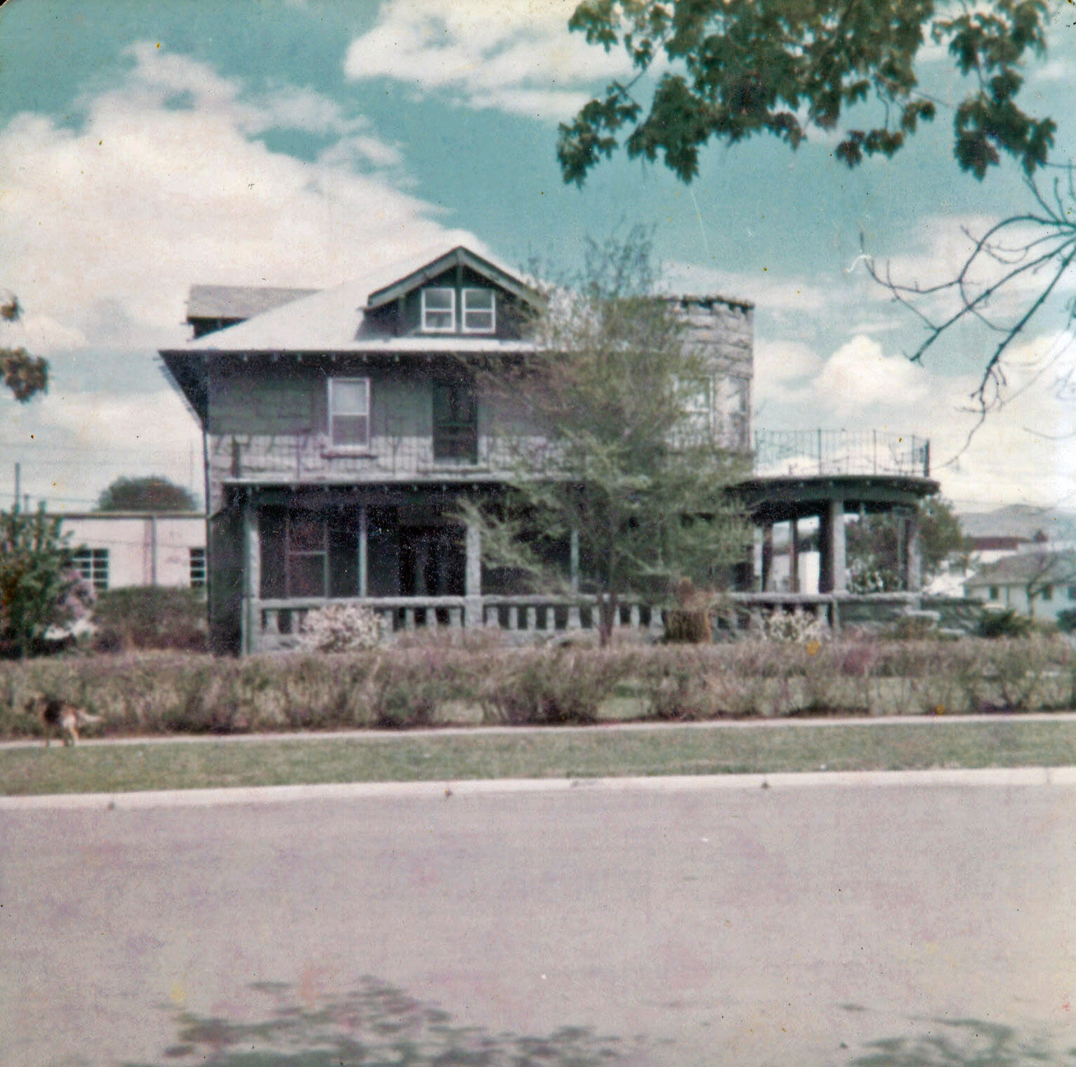
House in Baker

Baker City, Oregon
Bromus tectorum south of Baker City
Hell's Gate State Patk
20140517-DSC00373.jpg

Sun rise
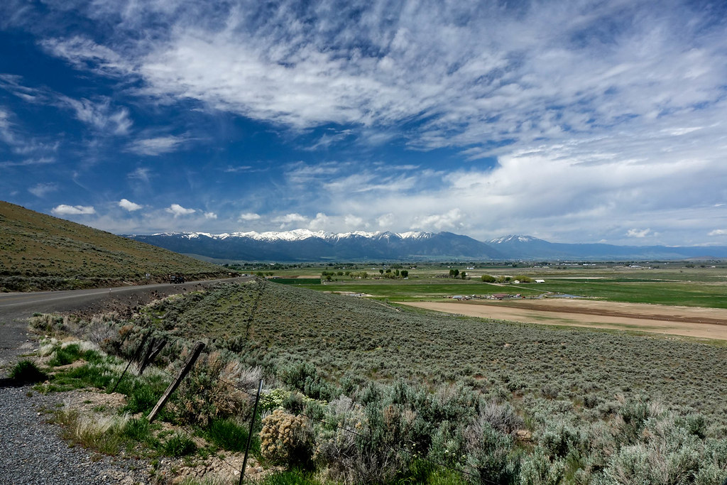
Oregon Trail panorama panorama

Baker County Tourism – basecampbaker.com 11785

Sunset Fields
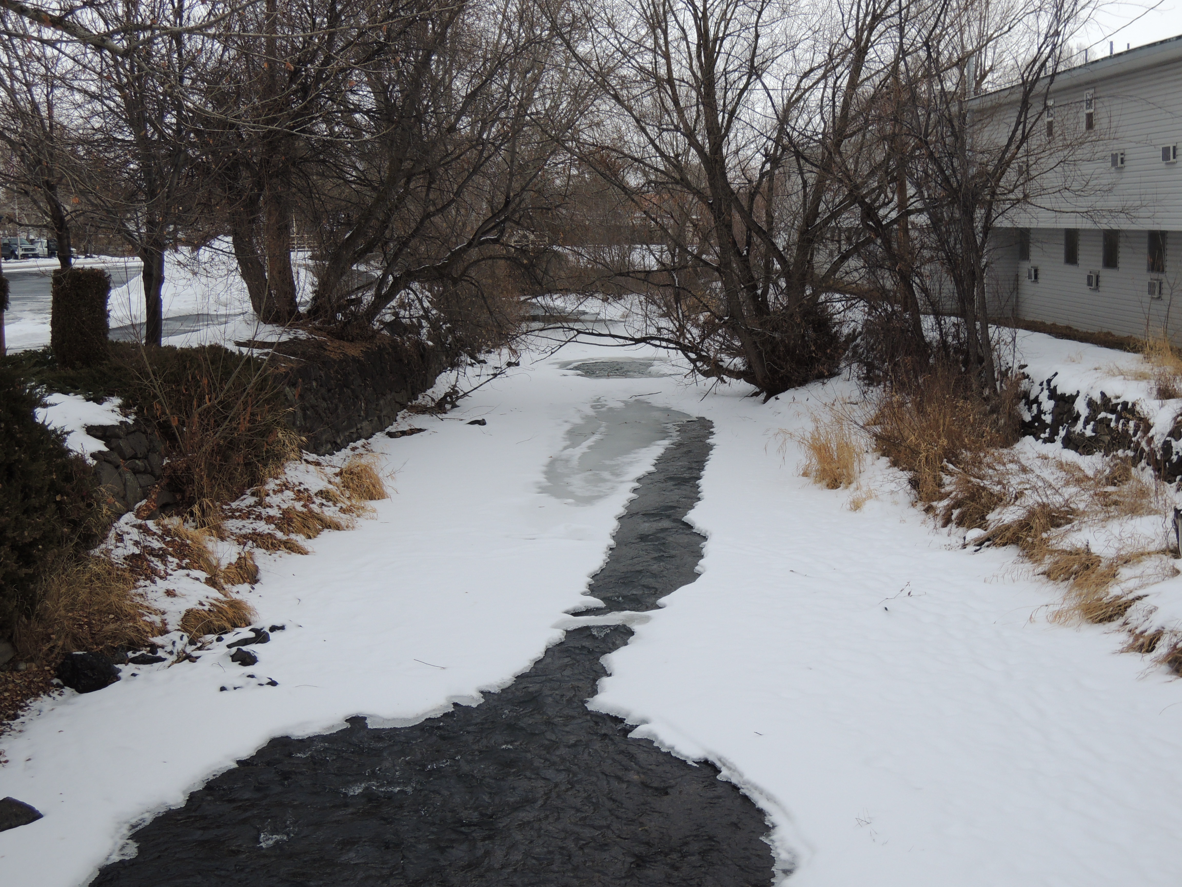
Baker, Oregon
Oregon Trail Center

Roll of Hay
Baker City OR Powder River (2)
Oregon Trail Interpretive Center
Baker County Tourism – basecampbaker.com 1136
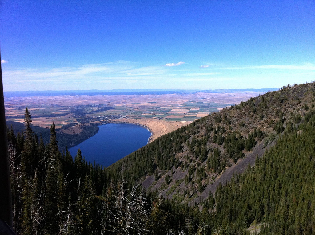
Wallowa Lake
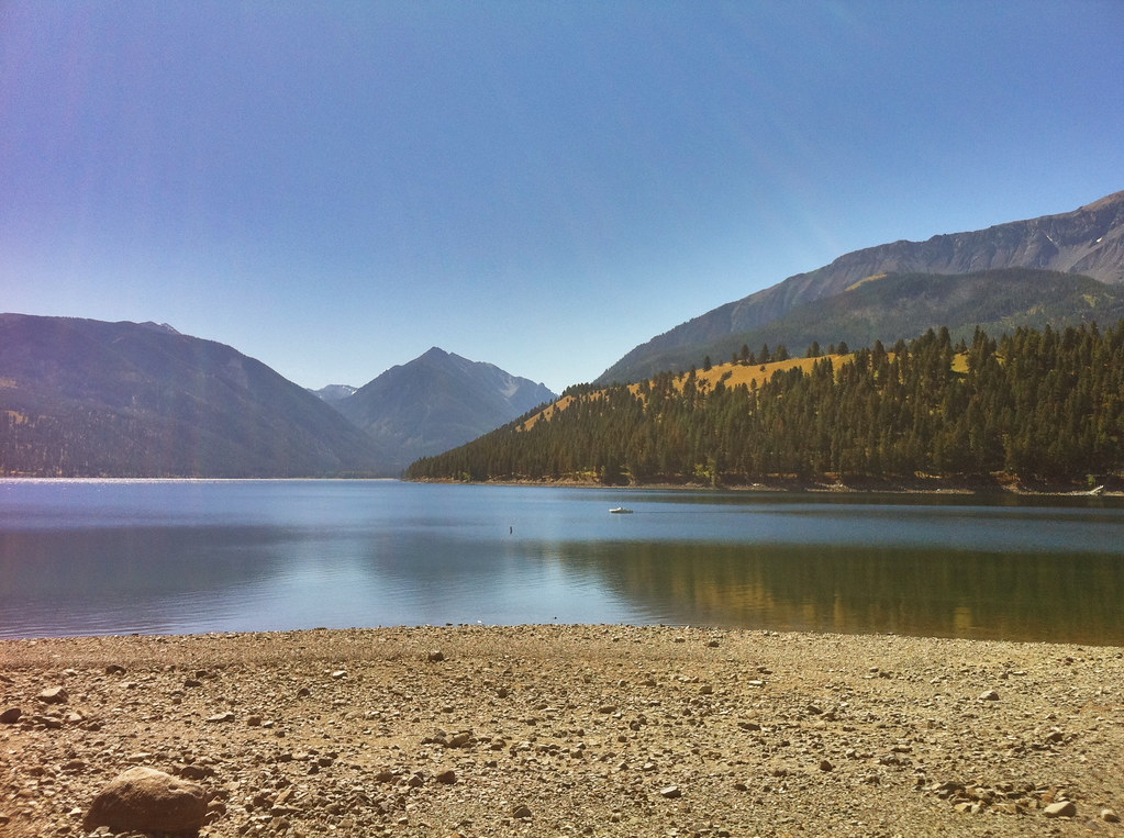
Wallowa Lake
Baker City OR Powder River (3)
National Historic Oregon Trail Interpretive Center, Baker City (Ore.), 17 June 2003
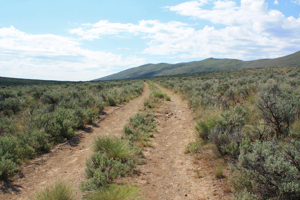
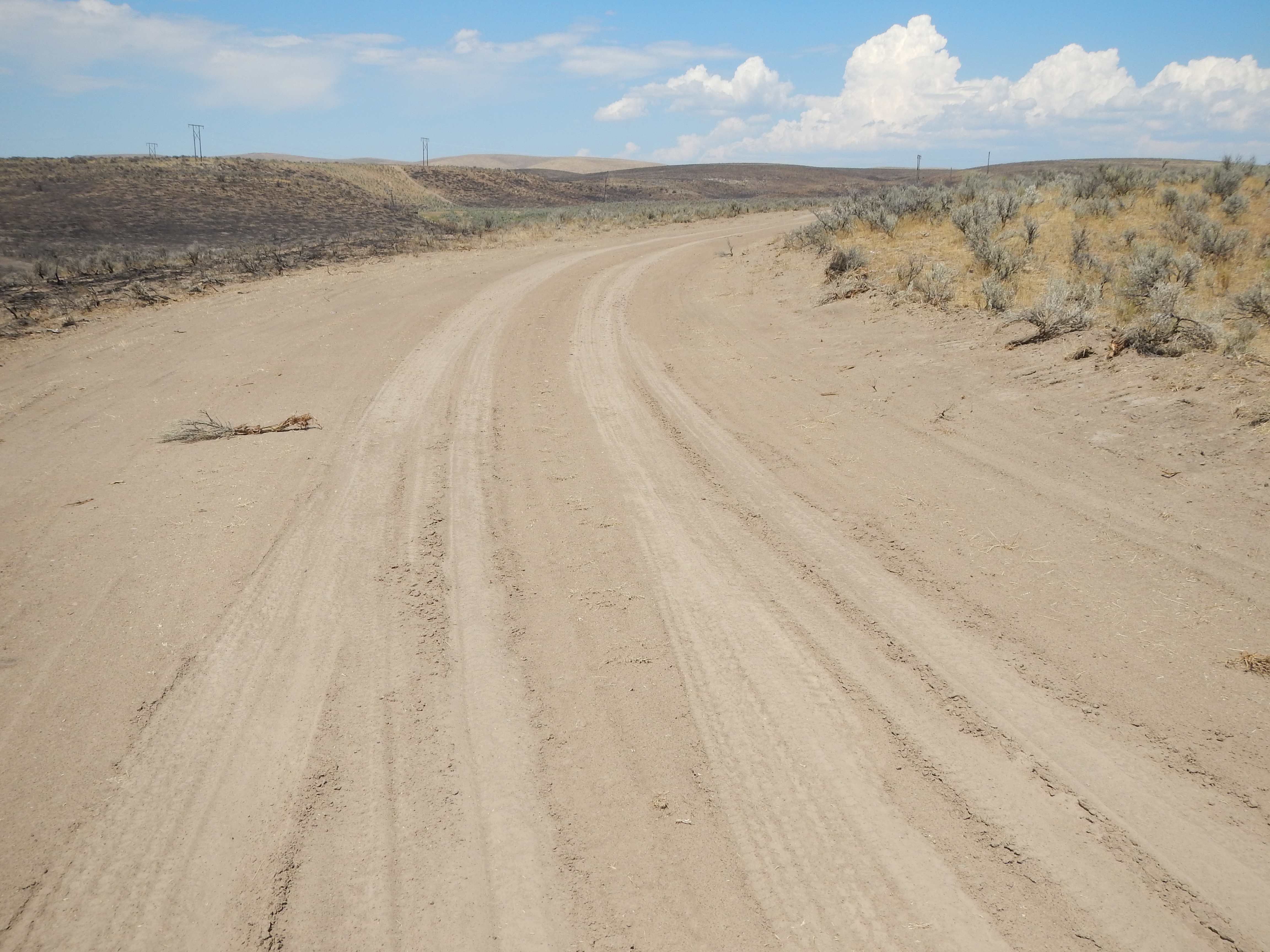
Oregon Trail ruts at Virtue Flat

Baker County Tourism – basecampbaker.com 3972
Topographic Map of Baker County, OR, USA
Find elevation by address:

Places in Baker County, OR, USA:
Places near Baker County, OR, USA:
705 Church St
Baker City
Durkee
Pioneer Ln, Huntington, OR, USA
34717 Denny Creek Rd
Haines
Durkee, OR, USA
33060 Shirttail Creek Rd
Weatherby
36917 Or-86
Dixie
Richland
John Day Hwy, Brogan, OR, USA
Interstate 84
Halfway
Huntington
Pine Town Ln, Halfway, OR, USA
Farewell Bend
Conductor Rd, Huntington, OR, USA
927 Conductor Rd
Recent Searches:
- Elevation of Corso Fratelli Cairoli, 35, Macerata MC, Italy
- Elevation of Tallevast Rd, Sarasota, FL, USA
- Elevation of 4th St E, Sonoma, CA, USA
- Elevation of Black Hollow Rd, Pennsdale, PA, USA
- Elevation of Oakland Ave, Williamsport, PA, USA
- Elevation of Pedrógão Grande, Portugal
- Elevation of Klee Dr, Martinsburg, WV, USA
- Elevation of Via Roma, Pieranica CR, Italy
- Elevation of Tavkvetili Mountain, Georgia
- Elevation of Hartfords Bluff Cir, Mt Pleasant, SC, USA