Elevation of Pine St, Saucier, MS, USA
Location: United States > Mississippi > Harrison County > Saucier >
Longitude: -89.138257
Latitude: 30.664951
Elevation: 51m / 167feet
Barometric Pressure: 101KPa
Elevation Map:
Satellite Map:
Related Photos:

RUDEBWOY RIDDIMZ poster

September2007 ID
Greenhouse #3 view from across the Pond

MGCCC vs Co-Lin
DSCF0383-Edit
DSCF0317-Edit

DSCF0324-Edit

Go jump in a lake

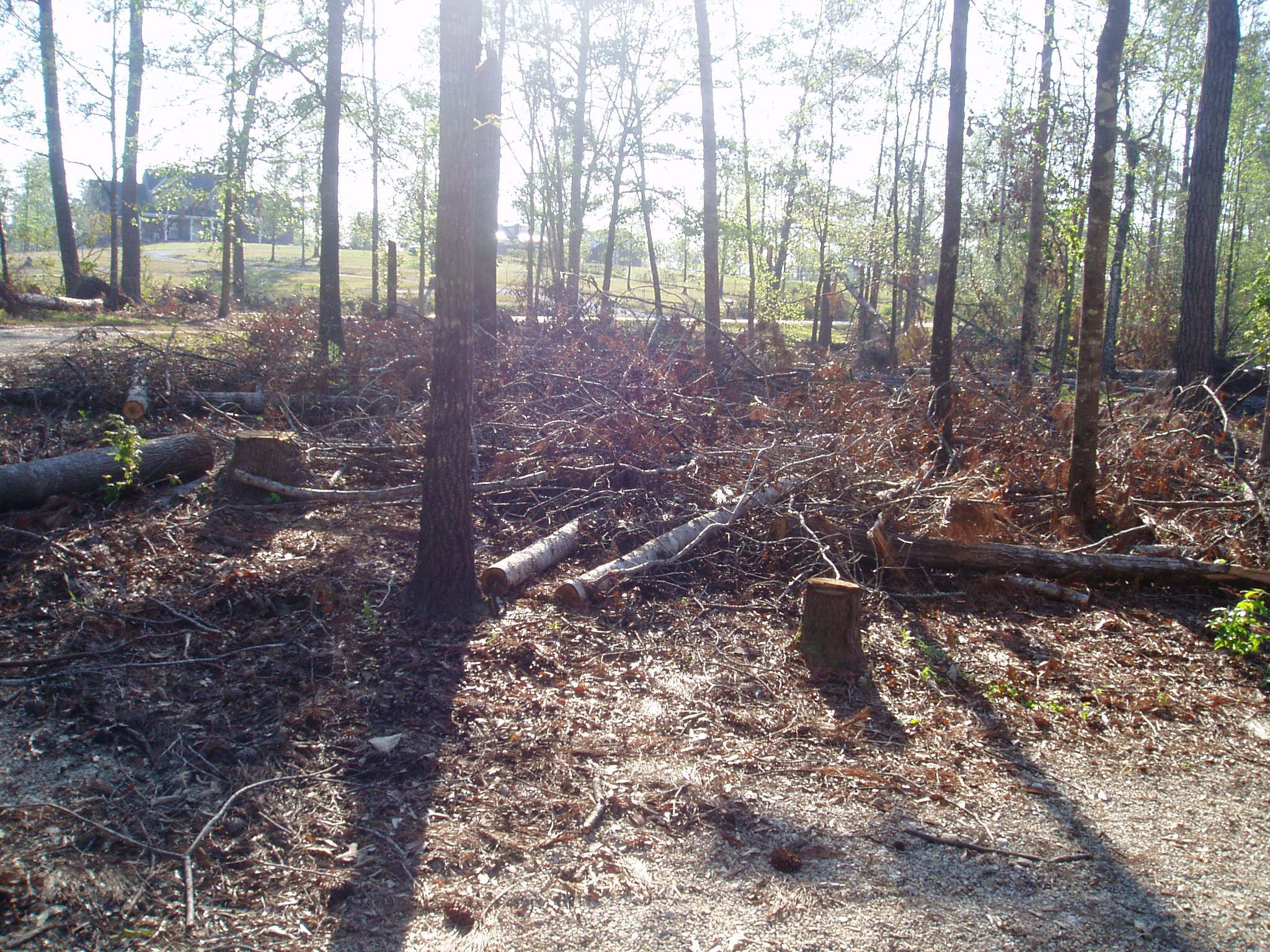
Broken Bridge
yard-1

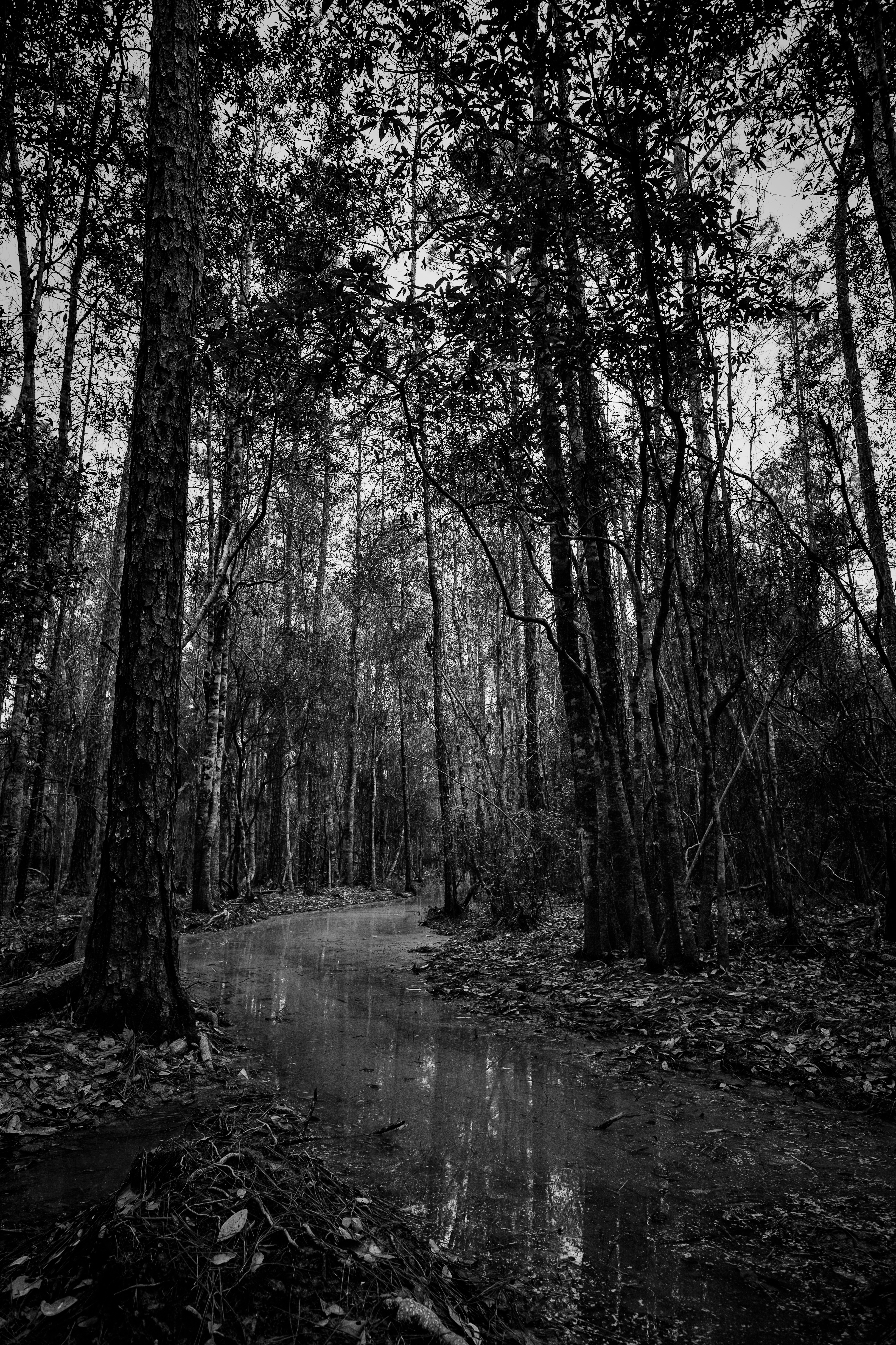
Flooded Trail
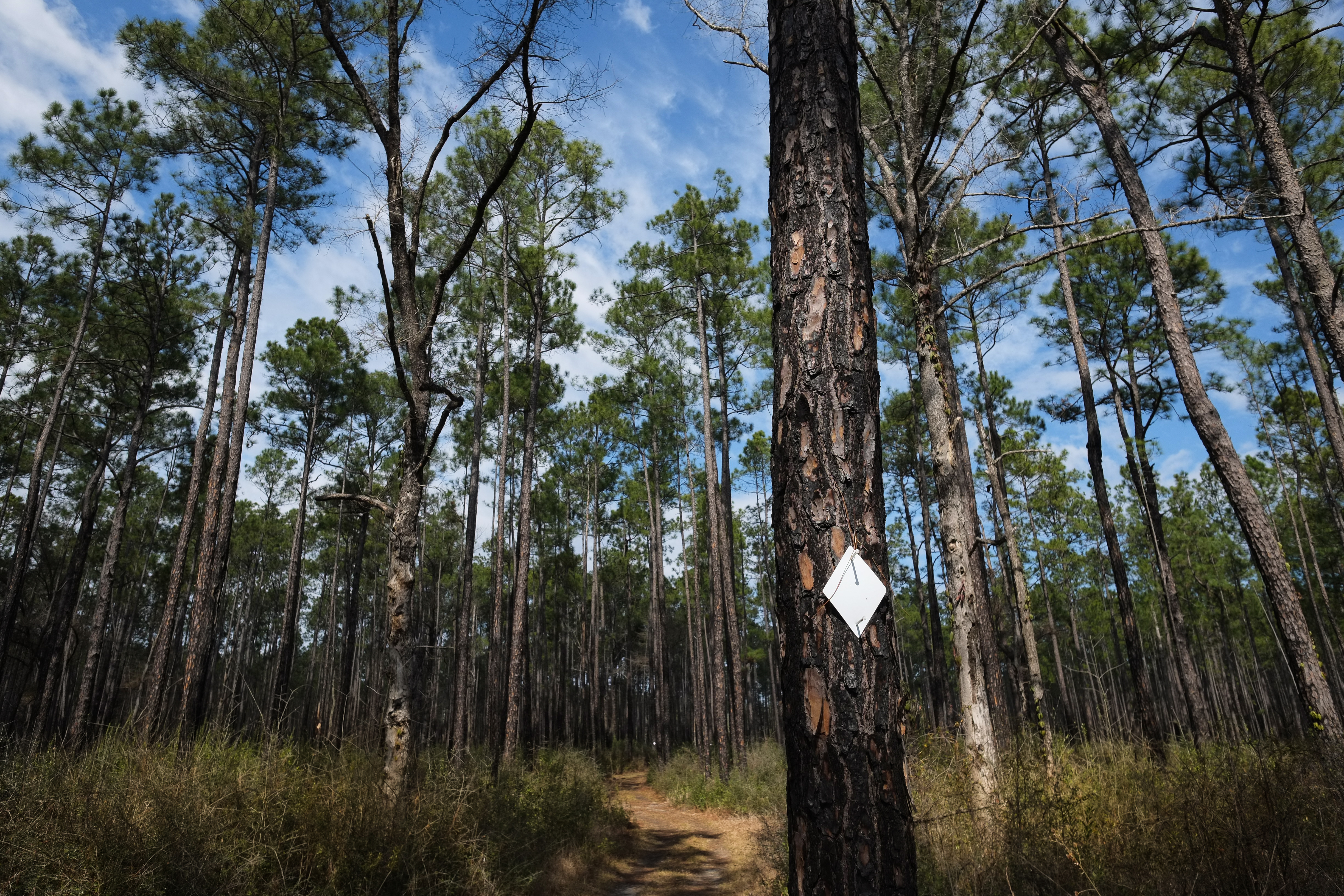
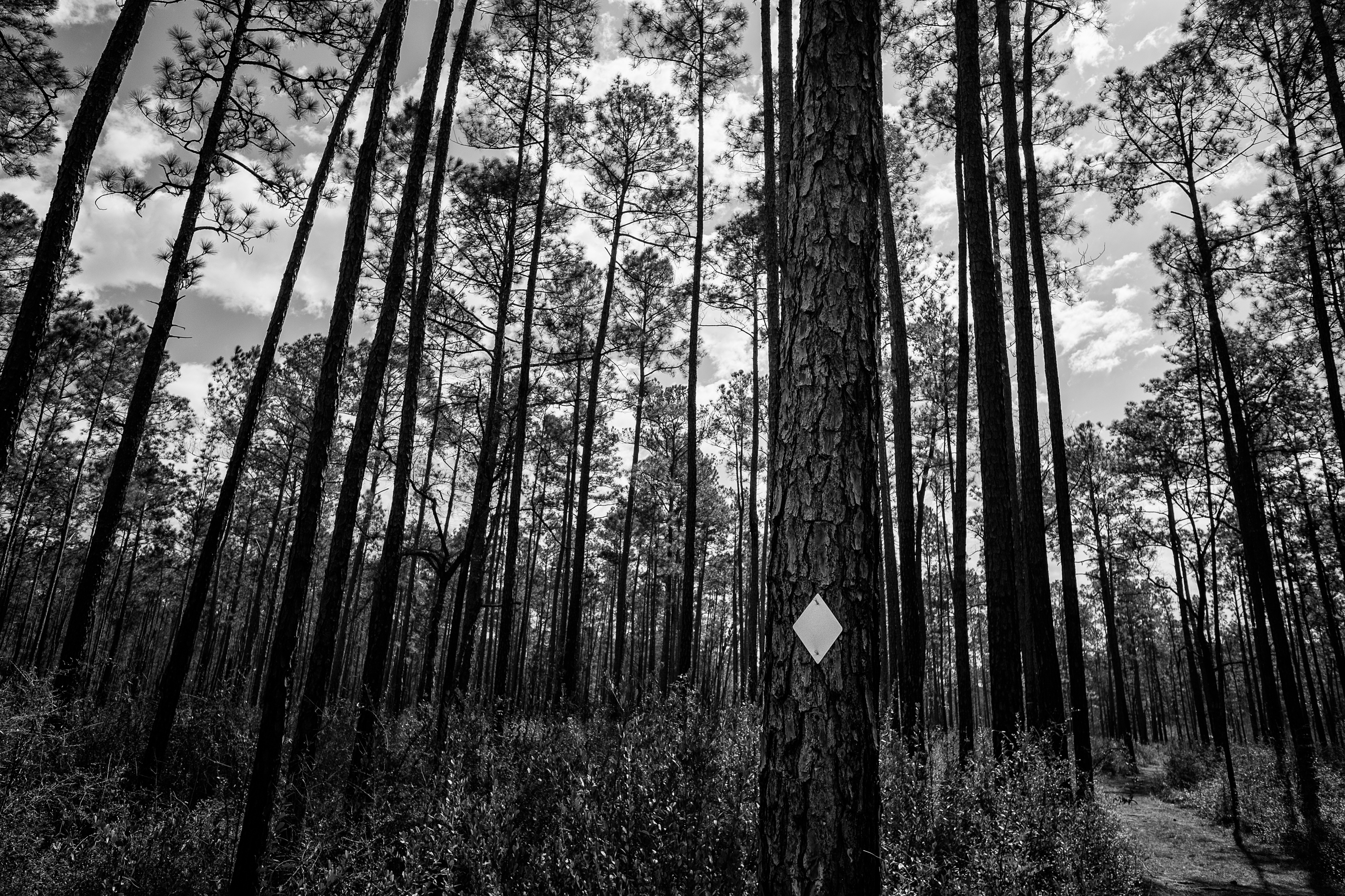
Tuxachanie Trail Blaze
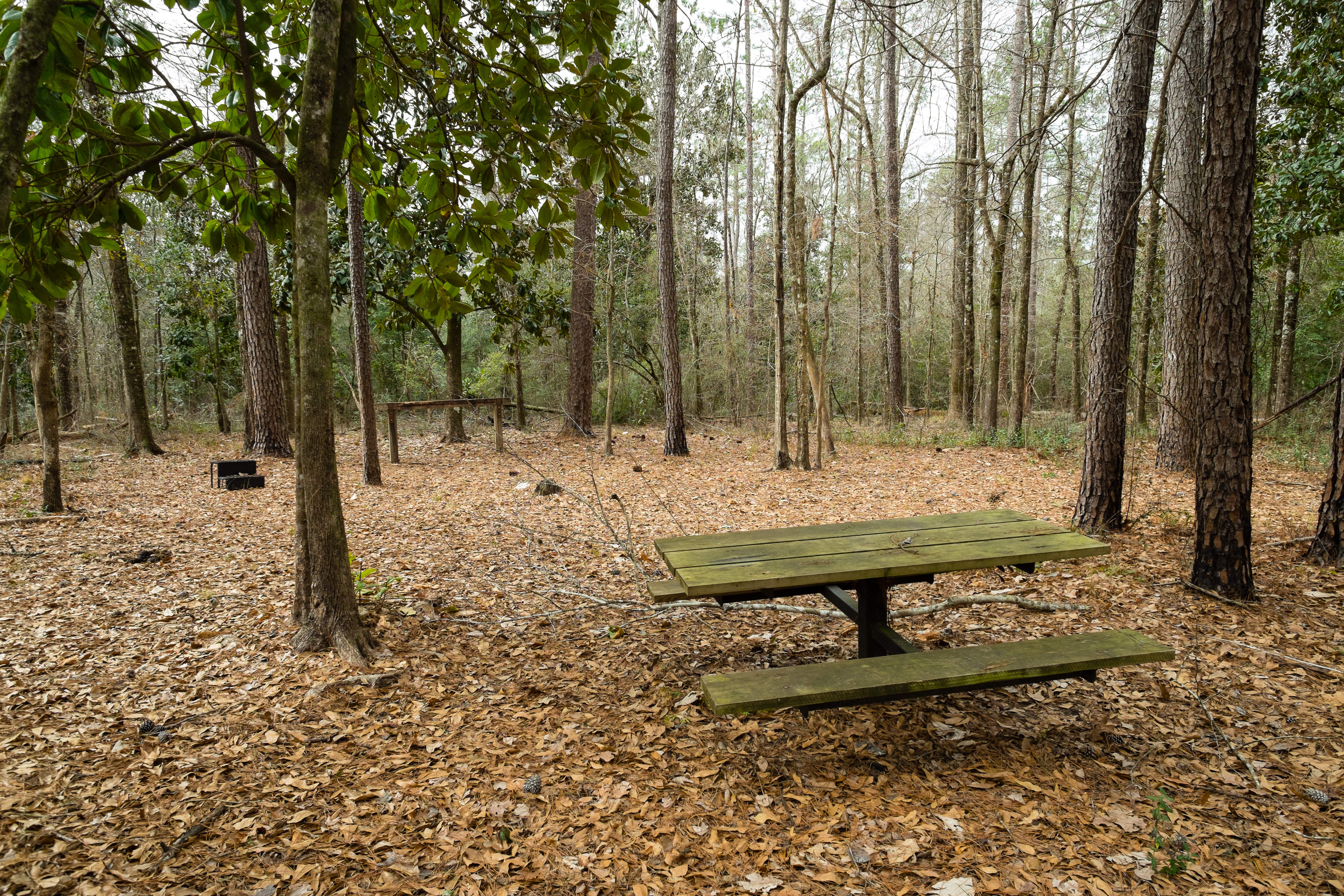
Horse Trail Camp
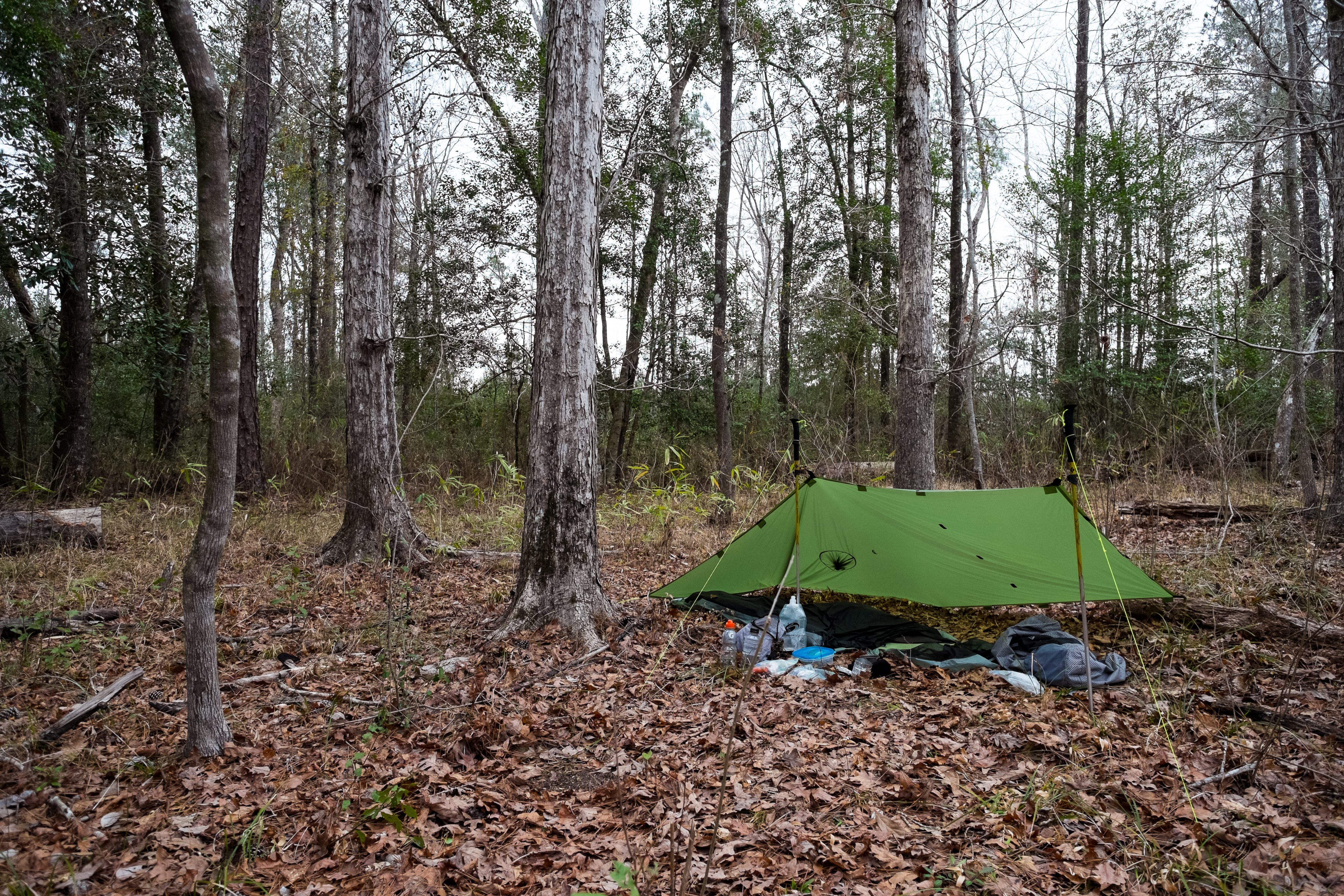
The Camp
Topographic Map of Pine St, Saucier, MS, USA
Find elevation by address:

Places near Pine St, Saucier, MS, USA:
Trail End Road
Saucier
Mchenry
75 McHenry Ave, McHenry, MS, USA
Pete Hickman Road
19385 Pete Hickman Rd
21336 W Mitchell Rd
21335 W Mitchell Rd
34 Carl O'neal Rd
20110 Borzik Rd
Dixie Road
20267 Lennis Cuevas Rd
Borzik Road
Borzik Road
Borzik Road
19441 Borzik Rd
Benson Place
20232 W Wortham Rd
18970 Adams Ln
18955 Adams Ln
Recent Searches:
- Elevation of Corso Fratelli Cairoli, 35, Macerata MC, Italy
- Elevation of Tallevast Rd, Sarasota, FL, USA
- Elevation of 4th St E, Sonoma, CA, USA
- Elevation of Black Hollow Rd, Pennsdale, PA, USA
- Elevation of Oakland Ave, Williamsport, PA, USA
- Elevation of Pedrógão Grande, Portugal
- Elevation of Klee Dr, Martinsburg, WV, USA
- Elevation of Via Roma, Pieranica CR, Italy
- Elevation of Tavkvetili Mountain, Georgia
- Elevation of Hartfords Bluff Cir, Mt Pleasant, SC, USA