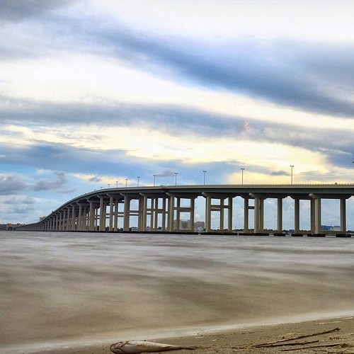
Elevation of Saucier, MS, USA
Location: United States > Mississippi > Harrison County >
Longitude: -89.135044
Latitude: 30.6357481
Elevation: 48m / 157feet
Barometric Pressure: 101KPa
Related Photos:
Topographic Map of Saucier, MS, USA
Find elevation by address:

Places in Saucier, MS, USA:
Pine St, Saucier, MS, USA
Benson Place
Ryland Ridge Road
Dixie Road
Pete Hickman Road
Trail End Road
Borzik Road
Borzik Road
Borzik Road
Places near Saucier, MS, USA:
Pete Hickman Road
Trail End Road
Pine St, Saucier, MS, USA
19385 Pete Hickman Rd
21336 W Mitchell Rd
21335 W Mitchell Rd
Dixie Road
20110 Borzik Rd
Mchenry
Borzik Road
Borzik Road
Borzik Road
75 McHenry Ave, McHenry, MS, USA
19441 Borzik Rd
20267 Lennis Cuevas Rd
Benson Place
18970 Adams Ln
18955 Adams Ln
17452 Robinwood Dr
20232 W Wortham Rd
Recent Searches:
- Elevation of Corso Fratelli Cairoli, 35, Macerata MC, Italy
- Elevation of Tallevast Rd, Sarasota, FL, USA
- Elevation of 4th St E, Sonoma, CA, USA
- Elevation of Black Hollow Rd, Pennsdale, PA, USA
- Elevation of Oakland Ave, Williamsport, PA, USA
- Elevation of Pedrógão Grande, Portugal
- Elevation of Klee Dr, Martinsburg, WV, USA
- Elevation of Via Roma, Pieranica CR, Italy
- Elevation of Tavkvetili Mountain, Georgia
- Elevation of Hartfords Bluff Cir, Mt Pleasant, SC, USA
