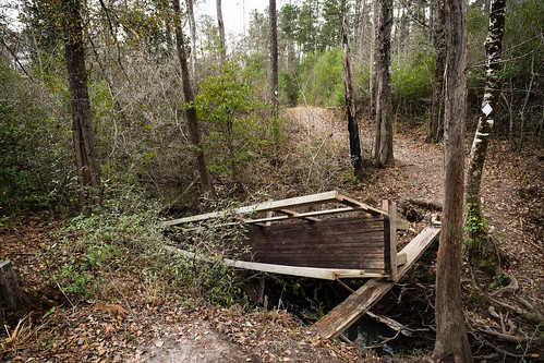
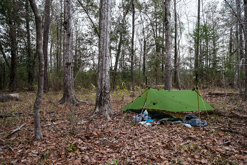
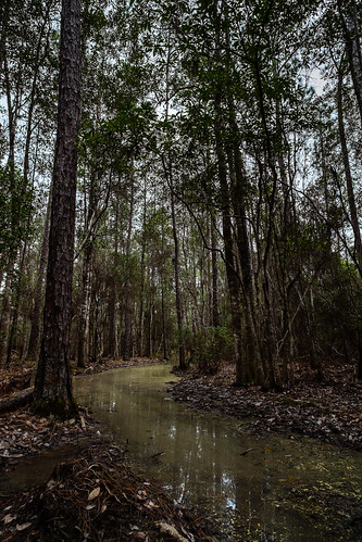
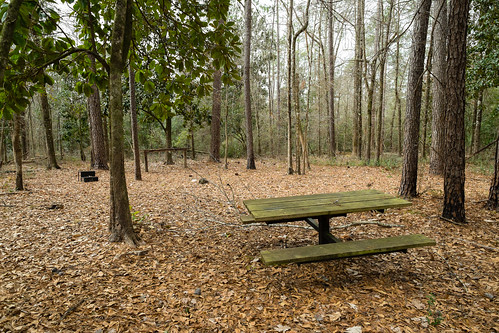
Elevation of 75 McHenry Ave, McHenry, MS, USA
Location: United States > Mississippi > Stone County > Mchenry >
Longitude: -89.138861
Latitude: 30.7074732
Elevation: 80m / 262feet
Barometric Pressure: 100KPa
Related Photos:
Topographic Map of 75 McHenry Ave, McHenry, MS, USA
Find elevation by address:

Places near 75 McHenry Ave, McHenry, MS, USA:
Mchenry
Pine St, Saucier, MS, USA
Trail End Road
34 Carl O'neal Rd
Saucier
Perkinston
19385 Pete Hickman Rd
Pete Hickman Road
Stone County
10 Mile Church Road
21336 W Mitchell Rd
21335 W Mitchell Rd
Wallace Road
20110 Borzik Rd
20267 Lennis Cuevas Rd
Dixie Road
Big Level
Borzik Road
Borzik Road
Borzik Road
Recent Searches:
- Elevation of Corso Fratelli Cairoli, 35, Macerata MC, Italy
- Elevation of Tallevast Rd, Sarasota, FL, USA
- Elevation of 4th St E, Sonoma, CA, USA
- Elevation of Black Hollow Rd, Pennsdale, PA, USA
- Elevation of Oakland Ave, Williamsport, PA, USA
- Elevation of Pedrógão Grande, Portugal
- Elevation of Klee Dr, Martinsburg, WV, USA
- Elevation of Via Roma, Pieranica CR, Italy
- Elevation of Tavkvetili Mountain, Georgia
- Elevation of Hartfords Bluff Cir, Mt Pleasant, SC, USA


