Elevation of McHenry, MS, USA
Location: United States > Mississippi > Stone County >
Longitude: -89.138799
Latitude: 30.7061829
Elevation: 81m / 266feet
Barometric Pressure: 100KPa
Elevation Map:
Satellite Map:
Related Photos:

RUDEBWOY RIDDIMZ poster

September2007 ID
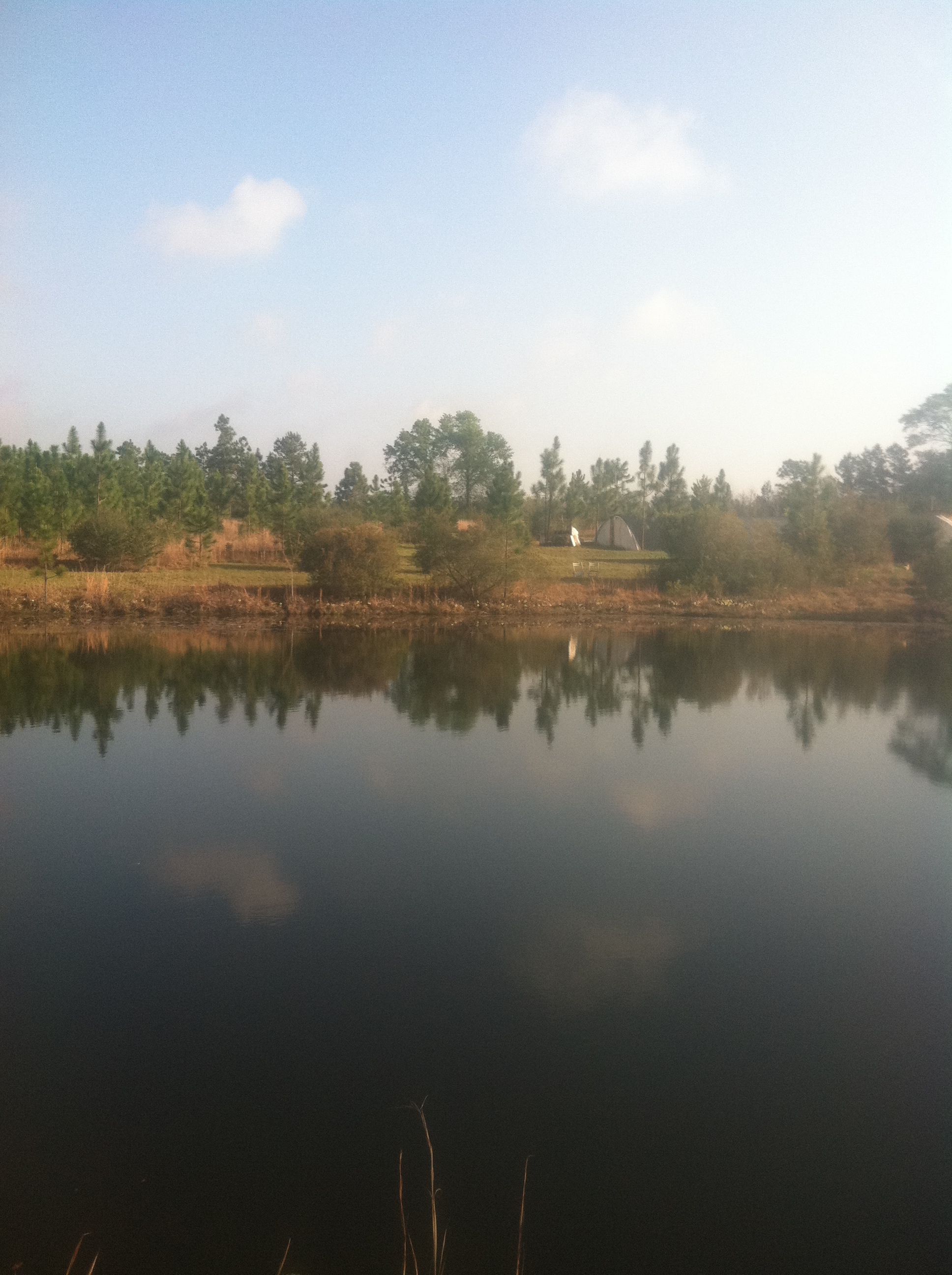
Greenhouse #3 view from across the Pond

MGCCC vs Co-Lin

DSCF0383-Edit
DSCF0317-Edit

DSCF0324-Edit

Go jump in a lake

Broken Bridge
yard-1

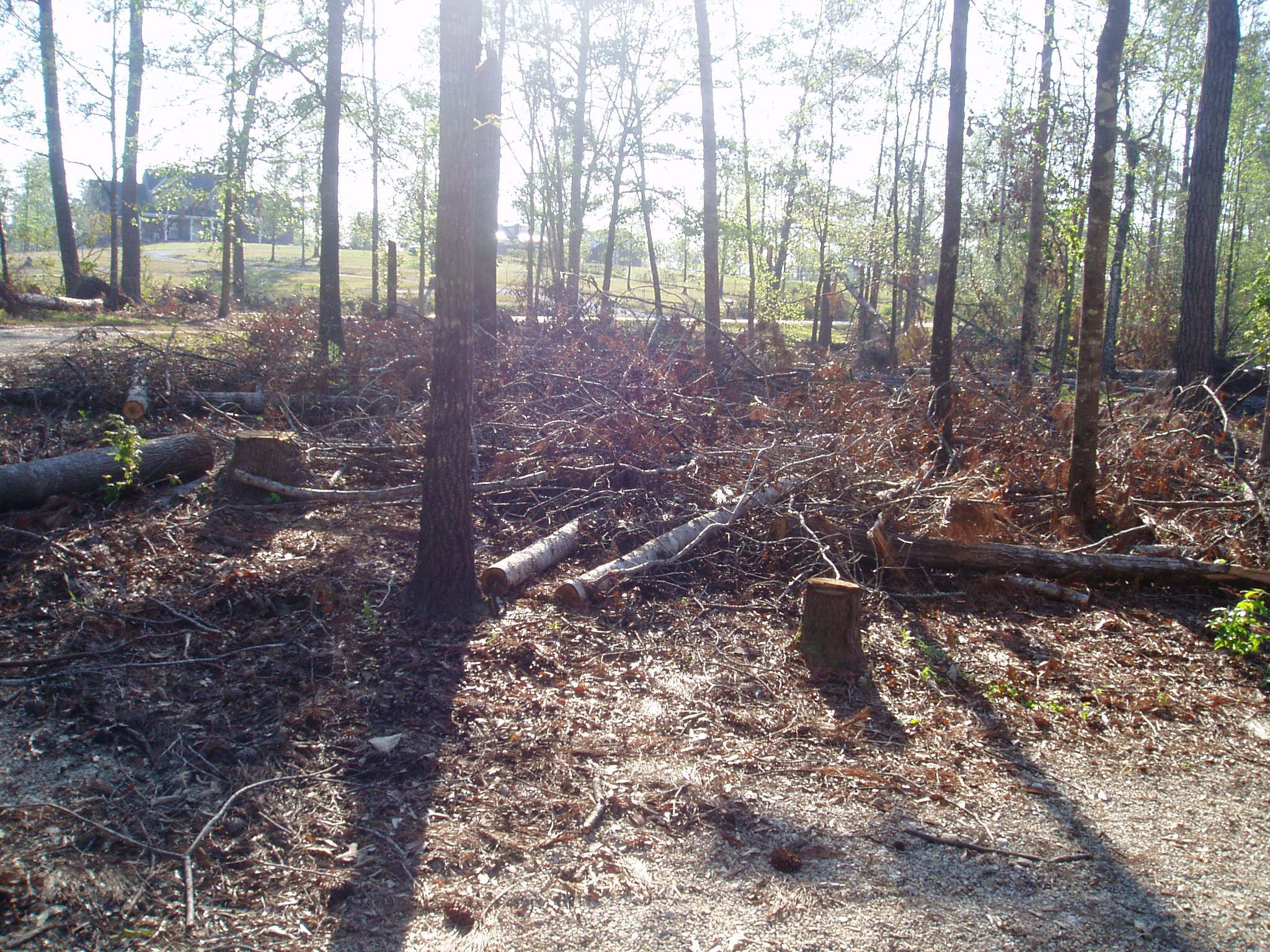
Flooded Trail
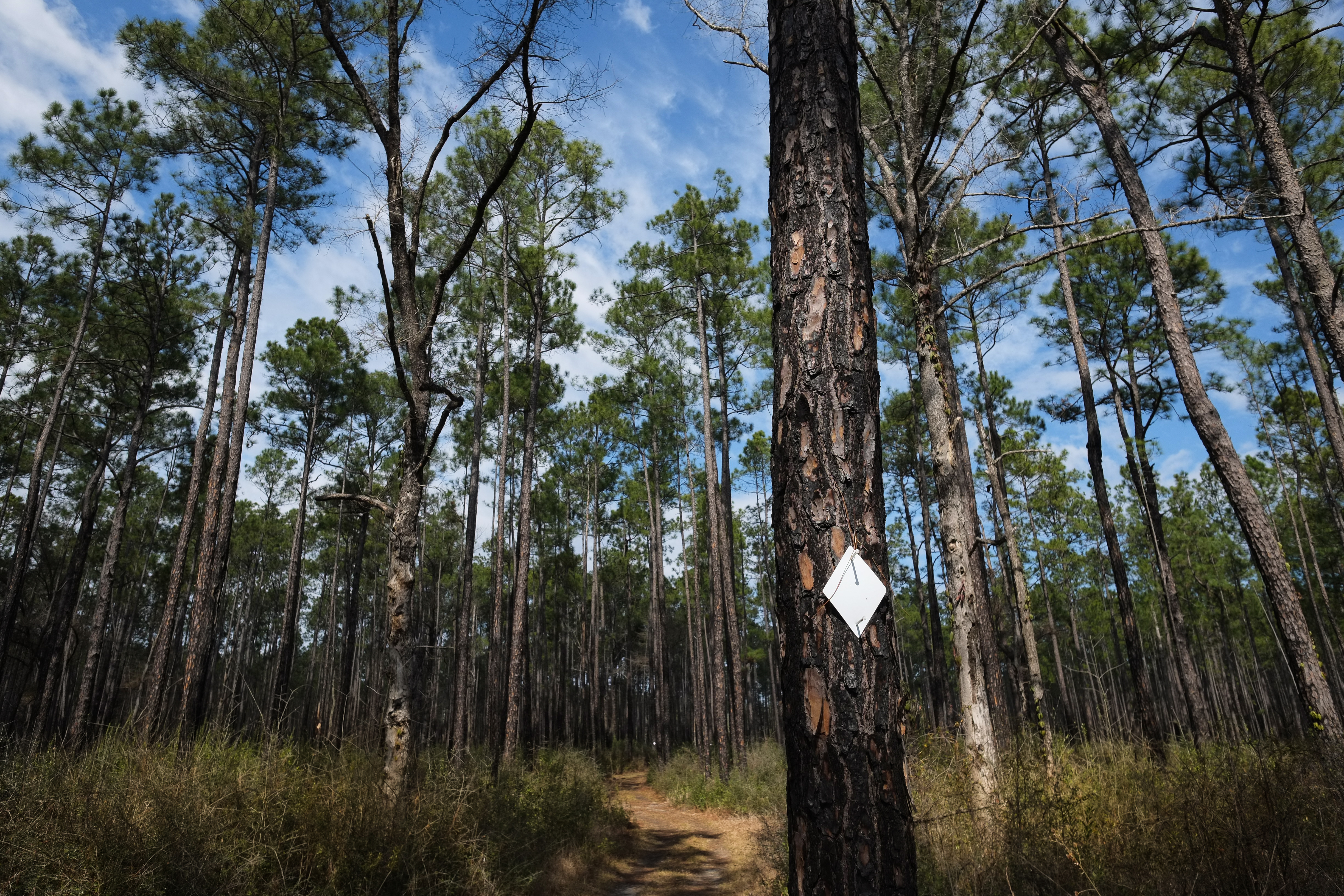
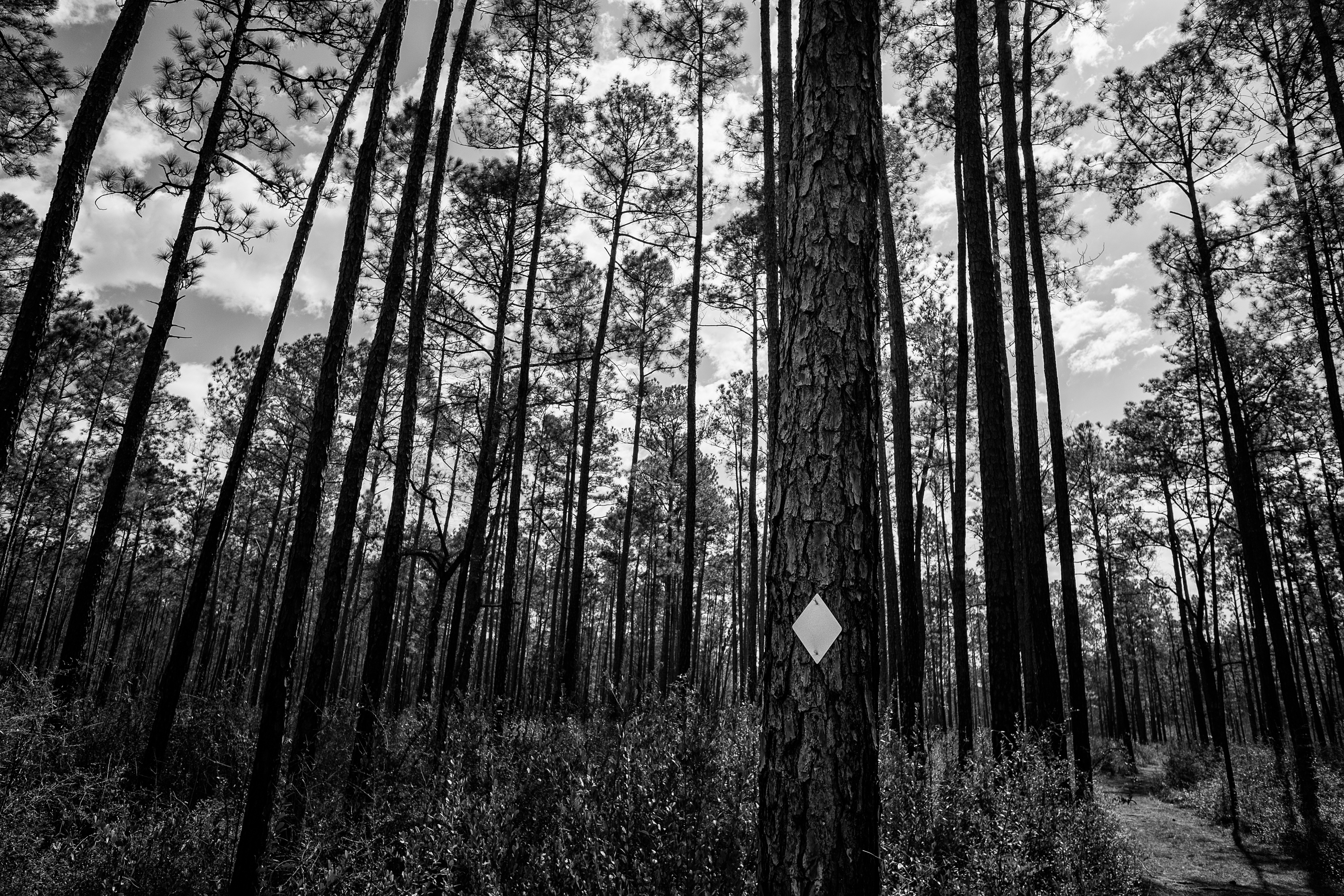
Tuxachanie Trail Blaze
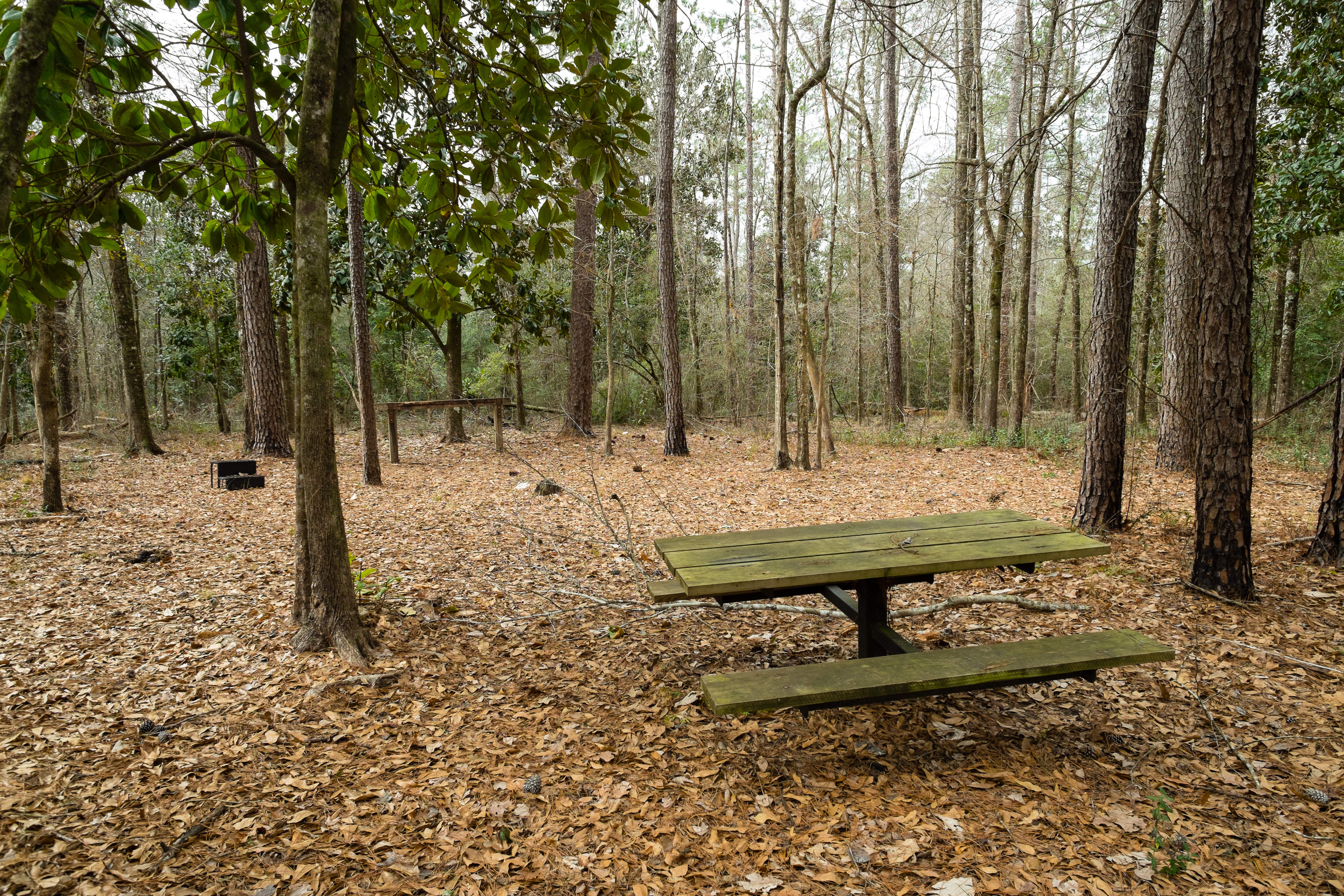
Horse Trail Camp
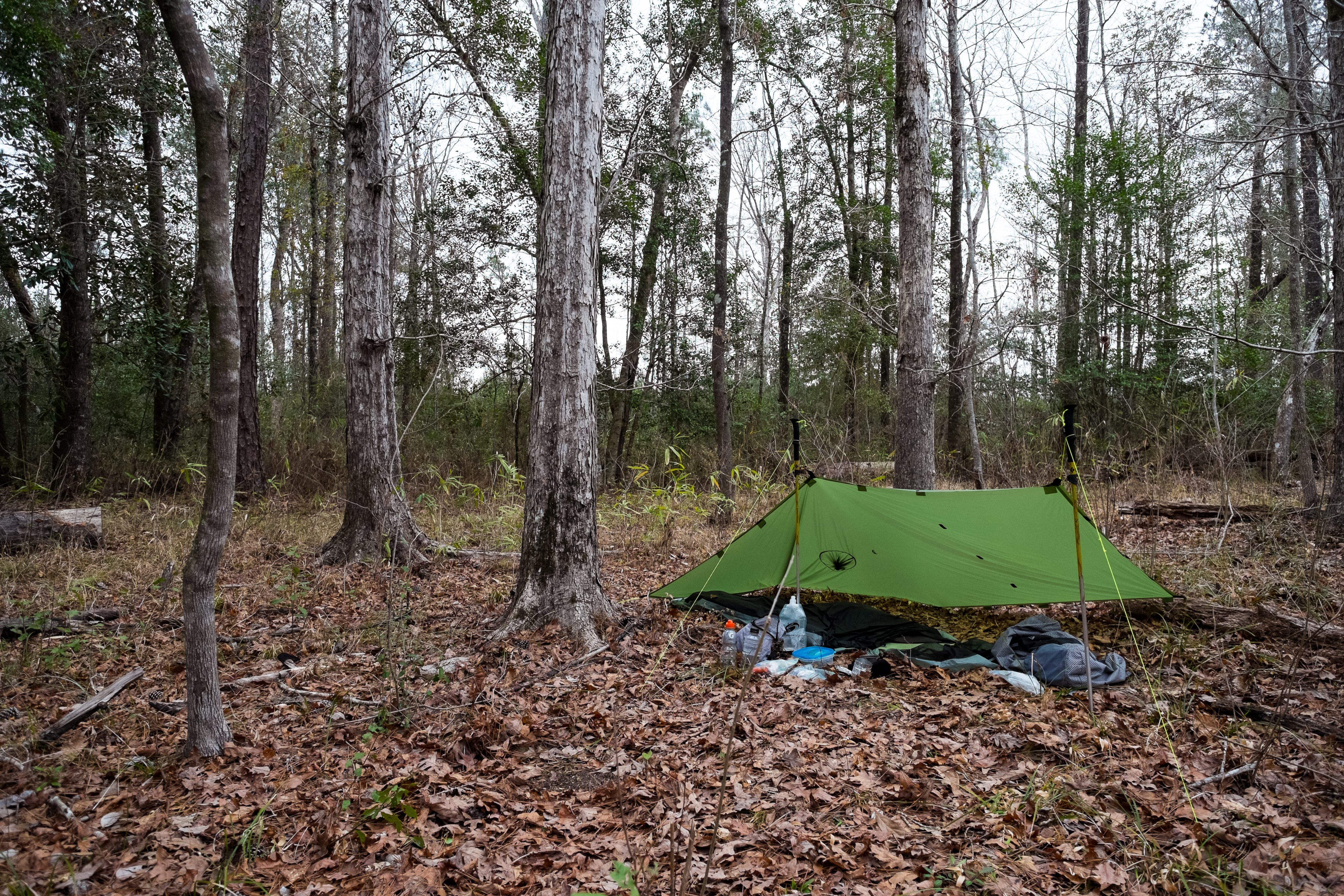
The Camp
Topographic Map of McHenry, MS, USA
Find elevation by address:

Places in McHenry, MS, USA:
Places near McHenry, MS, USA:
75 McHenry Ave, McHenry, MS, USA
Pine St, Saucier, MS, USA
Trail End Road
34 Carl O'neal Rd
Saucier
Perkinston
19385 Pete Hickman Rd
Pete Hickman Road
Stone County
10 Mile Church Road
21336 W Mitchell Rd
21335 W Mitchell Rd
20110 Borzik Rd
Wallace Road
20267 Lennis Cuevas Rd
Dixie Road
Big Level
Borzik Road
Borzik Road
Borzik Road
Recent Searches:
- Elevation of Corso Fratelli Cairoli, 35, Macerata MC, Italy
- Elevation of Tallevast Rd, Sarasota, FL, USA
- Elevation of 4th St E, Sonoma, CA, USA
- Elevation of Black Hollow Rd, Pennsdale, PA, USA
- Elevation of Oakland Ave, Williamsport, PA, USA
- Elevation of Pedrógão Grande, Portugal
- Elevation of Klee Dr, Martinsburg, WV, USA
- Elevation of Via Roma, Pieranica CR, Italy
- Elevation of Tavkvetili Mountain, Georgia
- Elevation of Hartfords Bluff Cir, Mt Pleasant, SC, USA