Elevation of Pine St, Forest City, NC, USA
Location: United States > North Carolina > Rutherford County > Cool Spring > Forest City >
Longitude: -81.8539606
Latitude: 35.3132904
Elevation: 289m / 948feet
Barometric Pressure: 0KPa
Related Photos:

Henrietta Mills No. 1, Henrietta, Rutherford Co., N.C.

Hardin's Drug Store Billboard - Forest City, NC
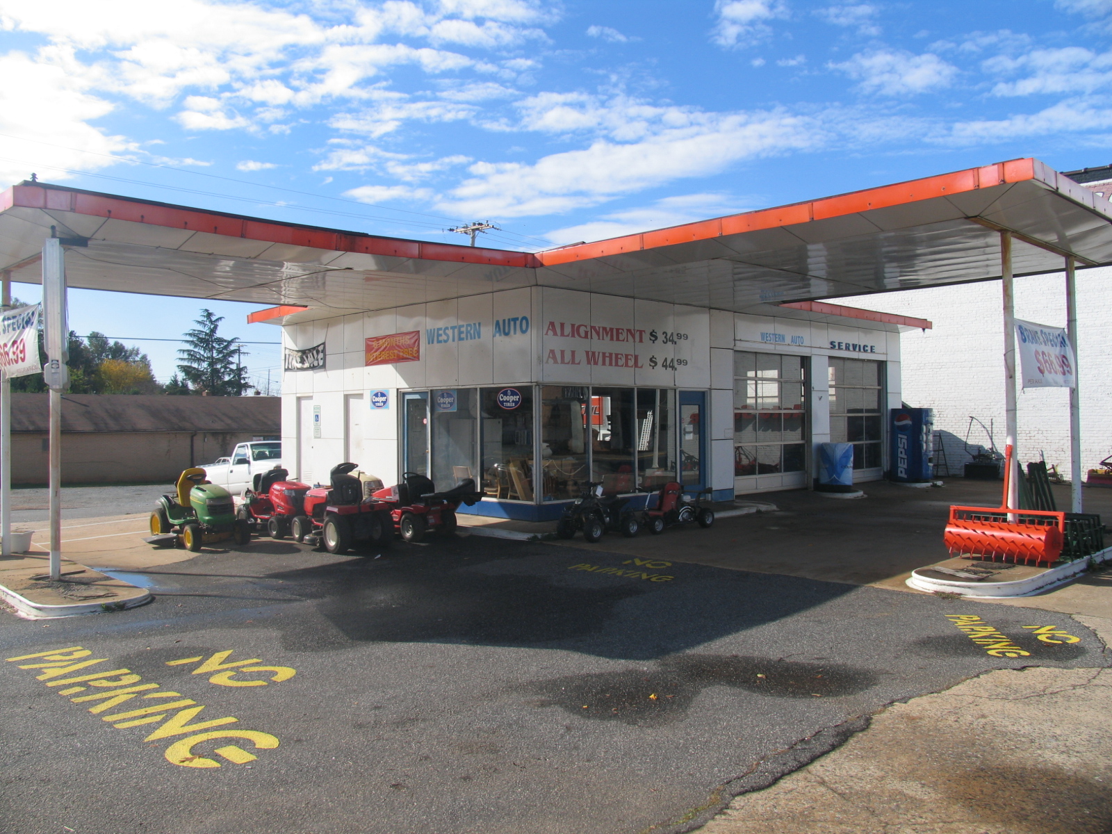
Old Gulf Station (now Western Auto) - Forest City, NC

View from the Courthouse

Out Back

A beautiful day in the Appalachians....

Pouring Rain

Rutherfordton House

Sunset in North Carolina. 6-17-13

foothillsshot-1

IMG_2408 (640x480)

IMG_2411 (640x480)

IMG_2310 (640x480)

IMG_2497 (640x480)

IMG_2491 (640x480)

IMG_2435 (640x480)

IMG_3944 (640x480)

IMG_2243 (640x480)

IMG_2236 (640x480)

IMG_2490 (640x480)

IMG_2458 (640x480)

IMG_2249 (640x480)

IMG_1561 (640x480)

IMG_2507 (640x480)

IMG_2369 (640x480)

IMG_2241 (640x480)
Topographic Map of Pine St, Forest City, NC, USA
Find elevation by address:

Places near Pine St, Forest City, NC, USA:
Rollins St, Forest City, NC, USA
Cool Spring
Alexander Mills, NC, USA
Phillips Dr, Alexander Mills, NC, USA
825 Piney Ridge Rd
Snowy Ridge
Snowy Ridge
Henson Road
Walker Lake Rd, Forest City, NC, USA
Spencer St, Spindale, NC, USA
340 Harris Holly Springs Rd
180 Lake Rd
Main St, Ellenboro, NC, USA
Ellenboro
125 Sapling Ln
High Shoals
Old Main St, Mooresboro, NC, USA
410 Hodge Rd
199 Ballenger Rd
Hawkins Reynolds Rd, Gaffney, SC, USA
Recent Searches:
- Elevation of 10370, West 107th Circle, Westminster, Jefferson County, Colorado, 80021, USA
- Elevation of 611, Roman Road, Old Ford, Bow, London, England, E3 2RW, United Kingdom
- Elevation of 116, Beartown Road, Underhill, Chittenden County, Vermont, 05489, USA
- Elevation of Window Rock, Colfax County, New Mexico, 87714, USA
- Elevation of 4807, Rosecroft Street, Kempsville Gardens, Virginia Beach, Virginia, 23464, USA
- Elevation map of Matawinie, Quebec, Canada
- Elevation of Sainte-Émélie-de-l'Énergie, Matawinie, Quebec, Canada
- Elevation of Rue du Pont, Sainte-Émélie-de-l'Énergie, Matawinie, Quebec, J0K2K0, Canada
- Elevation of 8, Rue de Bécancour, Blainville, Thérèse-De Blainville, Quebec, J7B1N2, Canada
- Elevation of Wilmot Court North, 163, University Avenue West, Northdale, Waterloo, Region of Waterloo, Ontario, N2L6B6, Canada
- Elevation map of Panamá Province, Panama
- Elevation of Balboa, Panamá Province, Panama
- Elevation of San Miguel, Balboa, Panamá Province, Panama
- Elevation of Isla Gibraleón, San Miguel, Balboa, Panamá Province, Panama
- Elevation of 4655, Krischke Road, Schulenburg, Fayette County, Texas, 78956, USA
- Elevation of Carnegie Avenue, Downtown Cleveland, Cleveland, Cuyahoga County, Ohio, 44115, USA
- Elevation of Walhonding, Coshocton County, Ohio, USA
- Elevation of Clifton Down, Clifton, Bristol, City of Bristol, England, BS8 3HU, United Kingdom
- Elevation map of Auvergne-Rhône-Alpes, France
- Elevation map of Upper Savoy, Auvergne-Rhône-Alpes, France