Elevation of Rutherford County, NC, USA
Location: United States > North Carolina >
Longitude: -81.909826
Latitude: 35.4258737
Elevation: 280m / 919feet
Barometric Pressure: 98KPa
Elevation Map:
Satellite Map:
Related Photos:

Blueberry Cobbler Anyone??? (nom nom nom...)

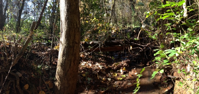
Nature's Hieroglyphics

Any idea of its name?

Goldenrod Crab Spider, aka 'Crouching Spider, Hid in Hibiscus'

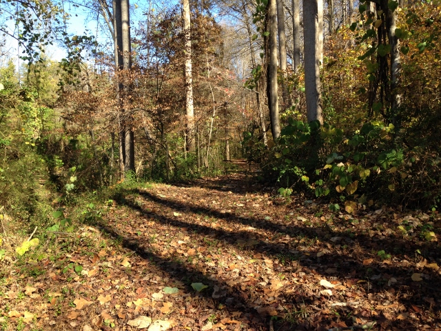
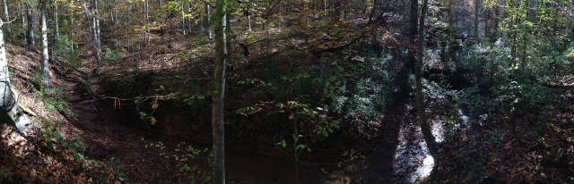
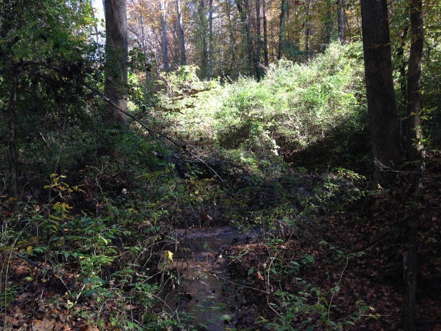
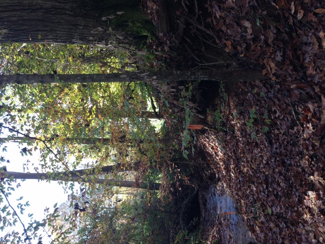
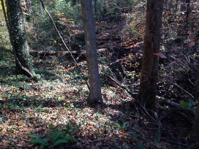
Out Back

Gypsy Gold
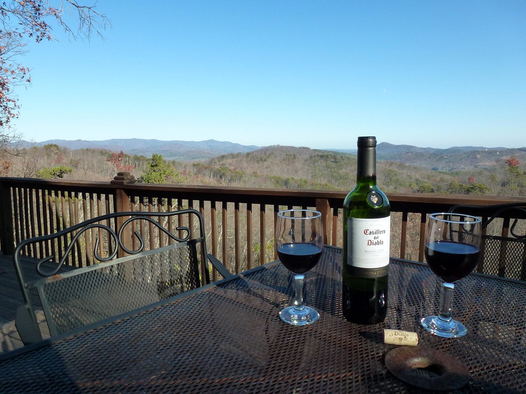
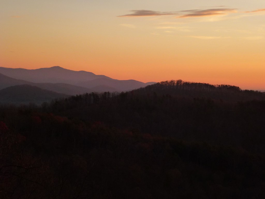
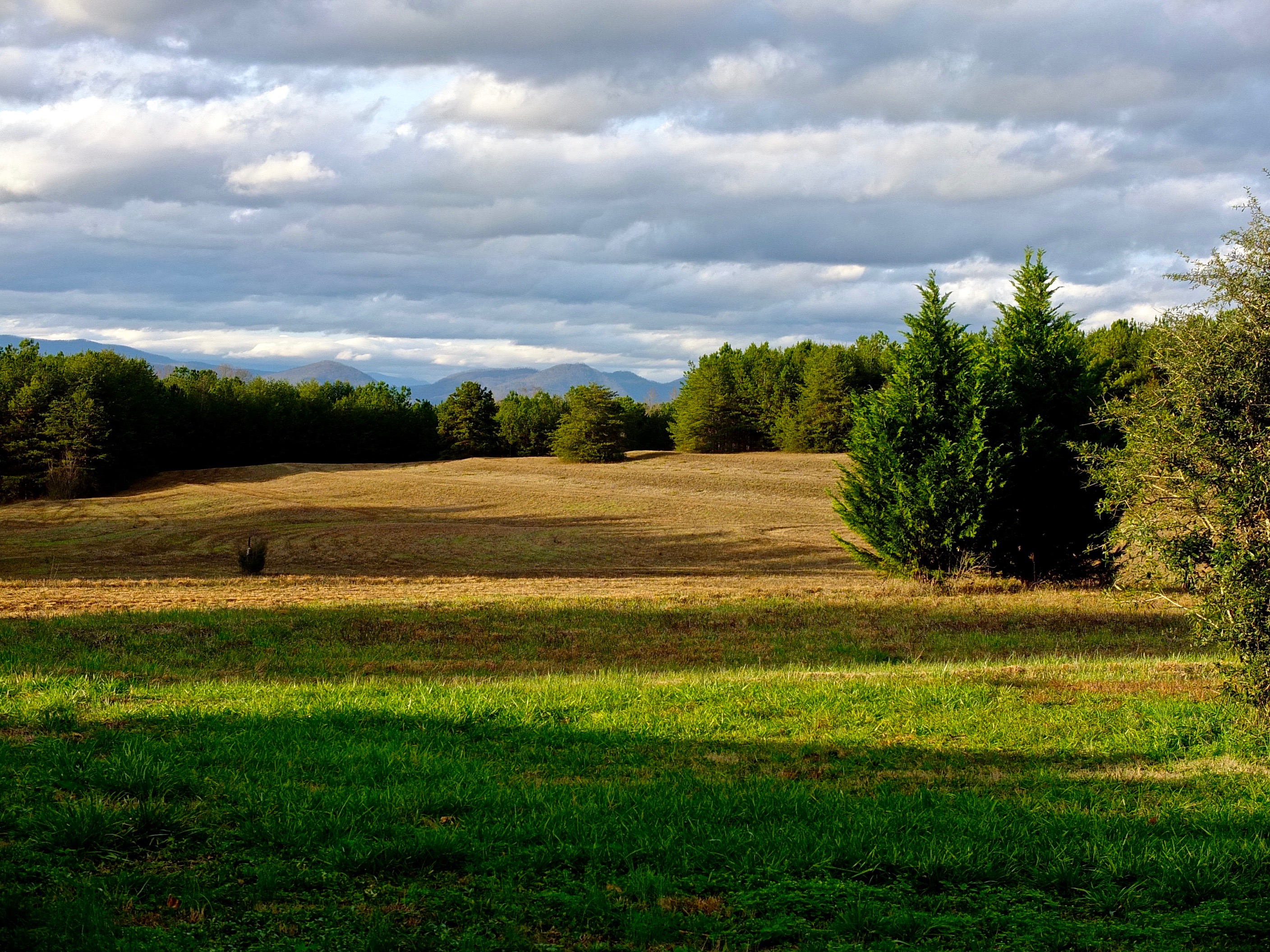
After Dinner View

Not a bad view at all and a fun hike. Base of the waterfall at Chimney Rock.
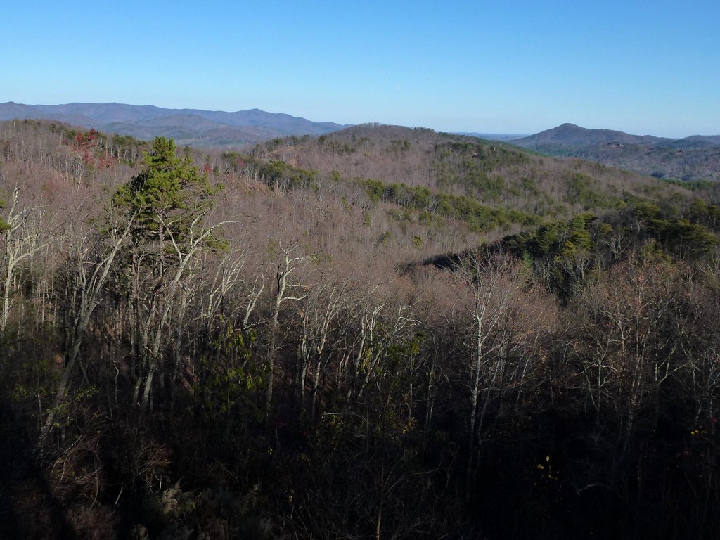
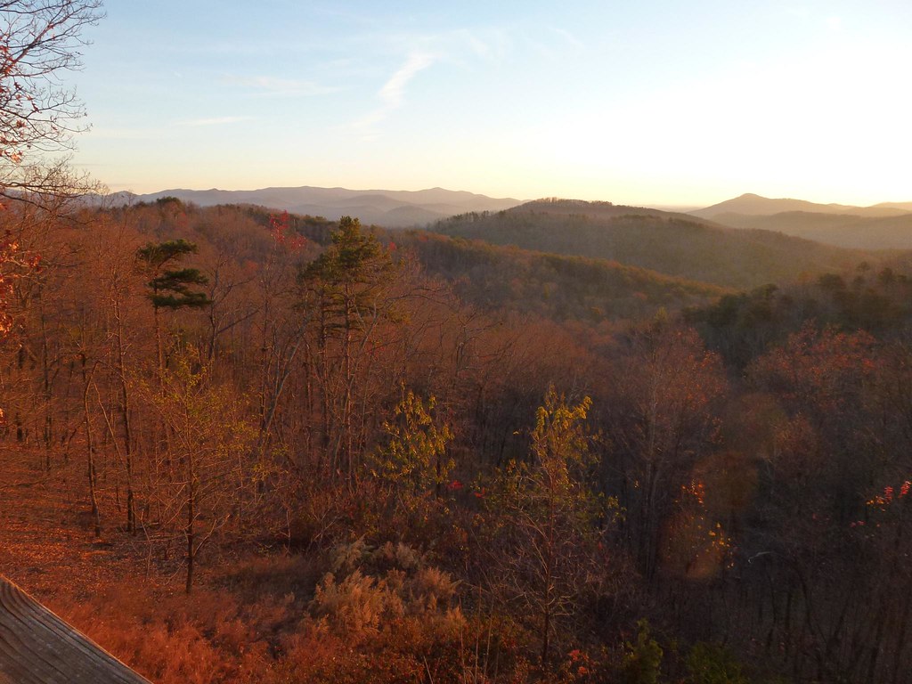
View from the Deck
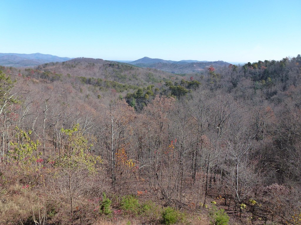
View from the Deck

Train Chase [II]
IMG_2187 (640x480)
Sunrise from the Deck
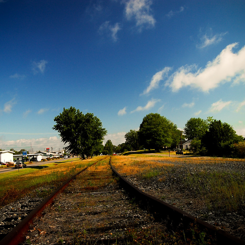
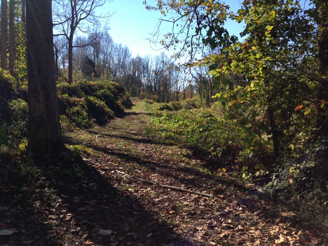
Rock Railroad

IMG_2173 (640x480)
IMG_2173 (640x480)

IMG_2151 (640x480)
IMG_2151 (640x480)
Rutherfordton House
IMG_2172 (640x206)
Sunrise from the Deck

IMG_2166 (640x480)
IMG_2166 (640x480)
IMG_2161 (640x480)

IMG_2161 (640x480)
IMG_2186 (640x480)
IMG_2144 (640x480)

IMG_2170 (640x480)
IMG_2170 (640x480)
IMG_2180 (640x305)
IMG_2150 (640x480)
Topographic Map of Rutherford County, NC, USA
Find elevation by address:

Places in Rutherford County, NC, USA:
Chimney Rock
Golden Valley
Rutherfordton
Morgan
Colfax
Logan Store
Gilkey
Duncans Creek
Green Hill
Camp Creek
Union
Sulphur Springs
Cool Spring
Walker Lake Rd, Forest City, NC, USA
Phillips Dr, Alexander Mills, NC, USA
Rollins St, Forest City, NC, USA
Spencer St, Spindale, NC, USA
Old Main St, Mooresboro, NC, USA
High Shoals
Places near Rutherford County, NC, USA:
US-64, Rutherfordton, NC, USA
Deen Ave, Forest City, NC, USA
3709 Pearidge Rd
699 Centennial Rd
Mamie Hamilton Road
129 Meadow Creek Dr
Logan Store
163 Dalehurst Dr
1535 Frog Creek Rd
109 John Warren Dr
Old Wagy Road
250 Westridge Dr
608 Robinson Creek Rd
838 Pea Ridge Rd
133 Saratoga Dr
176 Sarinac Dr
240 Cabin Lake Rd
2289 Cane Creek Rd
1231 Andrew Mills Rd
Bostic
Recent Searches:
- Elevation of Corso Fratelli Cairoli, 35, Macerata MC, Italy
- Elevation of Tallevast Rd, Sarasota, FL, USA
- Elevation of 4th St E, Sonoma, CA, USA
- Elevation of Black Hollow Rd, Pennsdale, PA, USA
- Elevation of Oakland Ave, Williamsport, PA, USA
- Elevation of Pedrógão Grande, Portugal
- Elevation of Klee Dr, Martinsburg, WV, USA
- Elevation of Via Roma, Pieranica CR, Italy
- Elevation of Tavkvetili Mountain, Georgia
- Elevation of Hartfords Bluff Cir, Mt Pleasant, SC, USA