Elevation of Old Main St, Mooresboro, NC, USA
Location: United States > North Carolina > Rutherford County >
Longitude: -81.769425
Latitude: 35.236461
Elevation: 225m / 738feet
Barometric Pressure: 99KPa
Elevation Map:
Satellite Map:
Related Photos:

Sun kissed poppies

Nature's Hieroglyphics

Blueberry Cobbler Anyone??? (nom nom nom...)

Federal Sign & Signal 2T22 - Shelby, NC
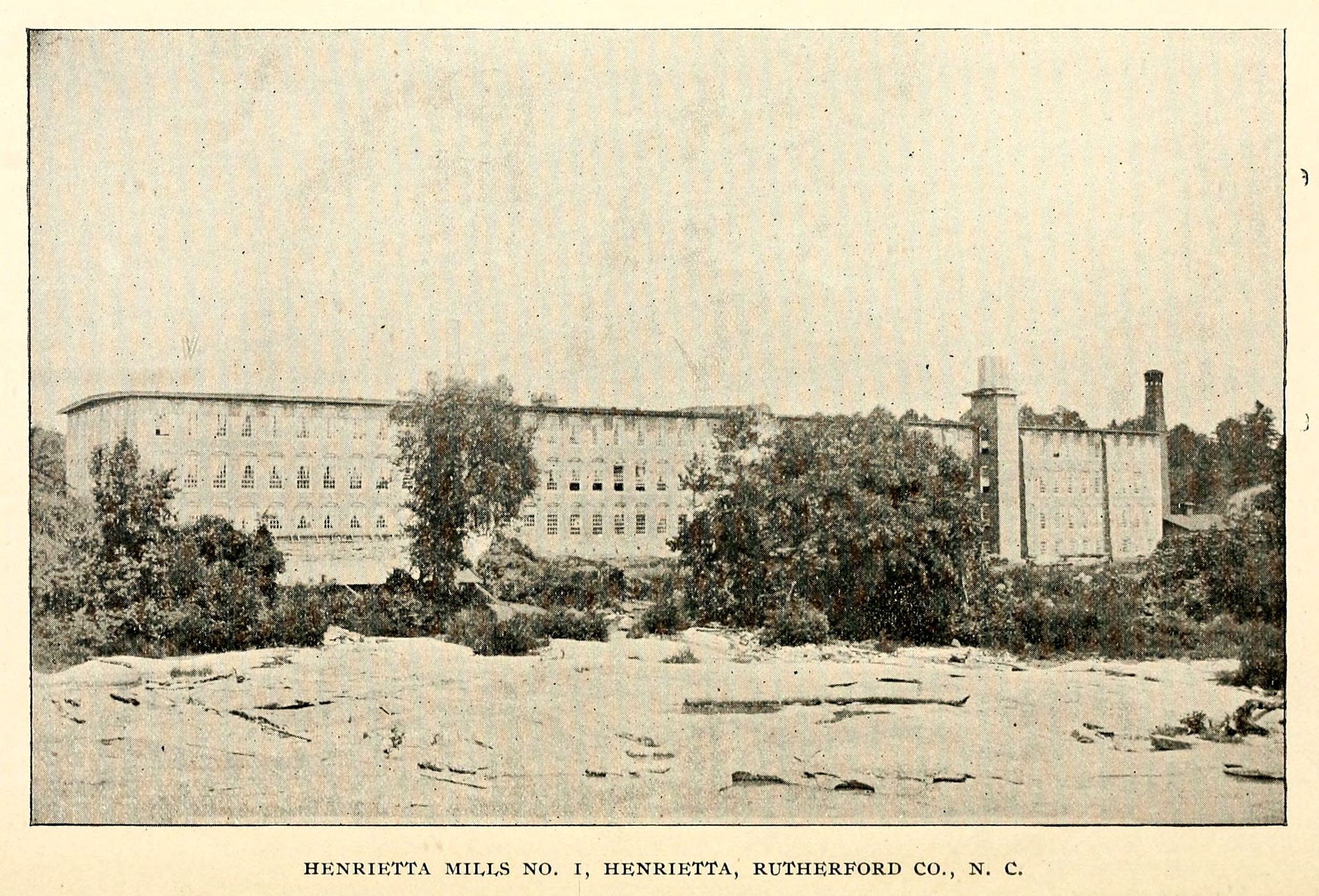
Henrietta Mills No. 1, Henrietta, Rutherford Co., N.C.

So many daisies, so little time...

Goldenrod Crab Spider, aka 'Crouching Spider, Hid in Hibiscus'

Any idea of its name?

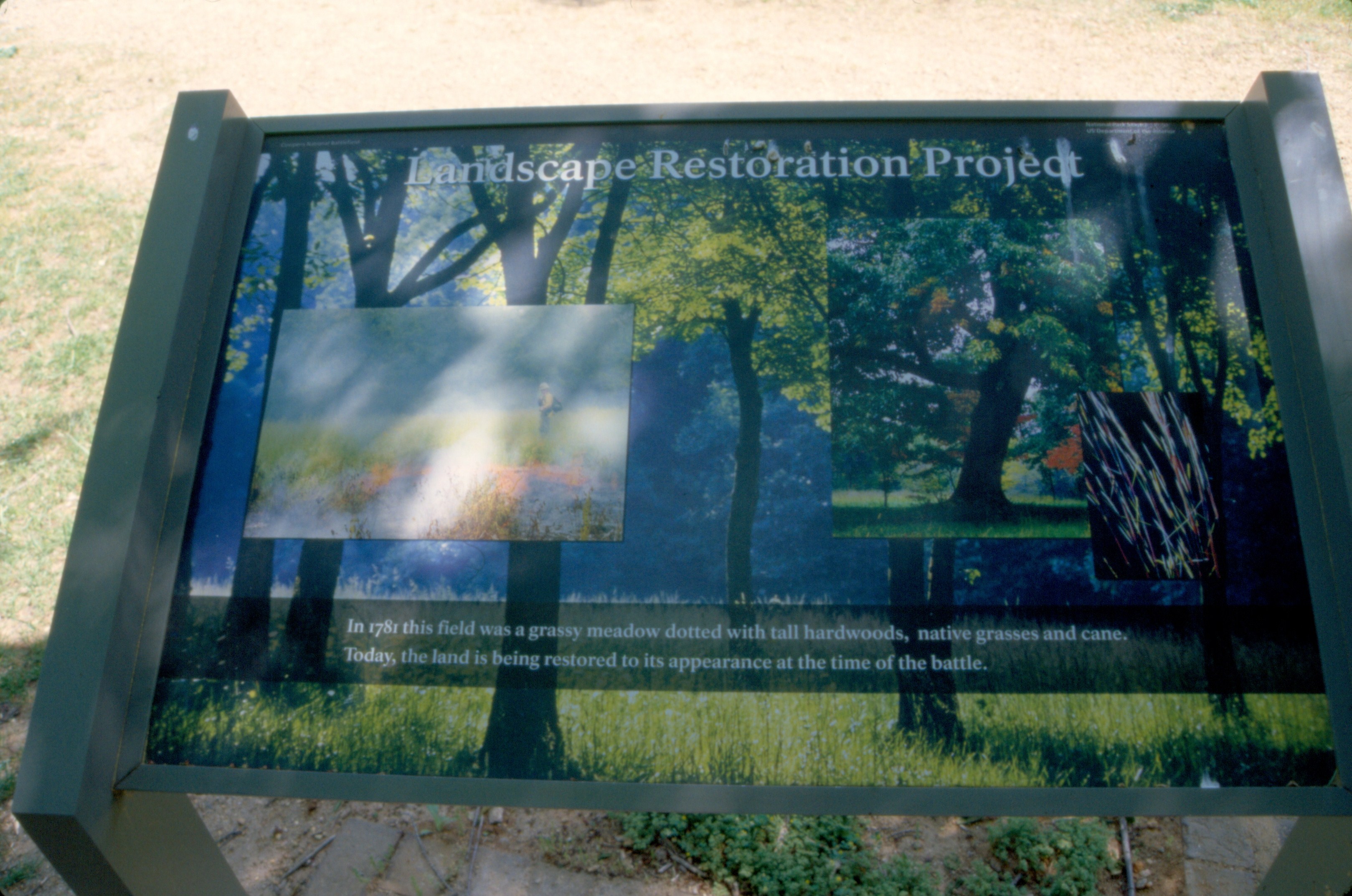
Cowpens 10-23-2014 - What The British Saw
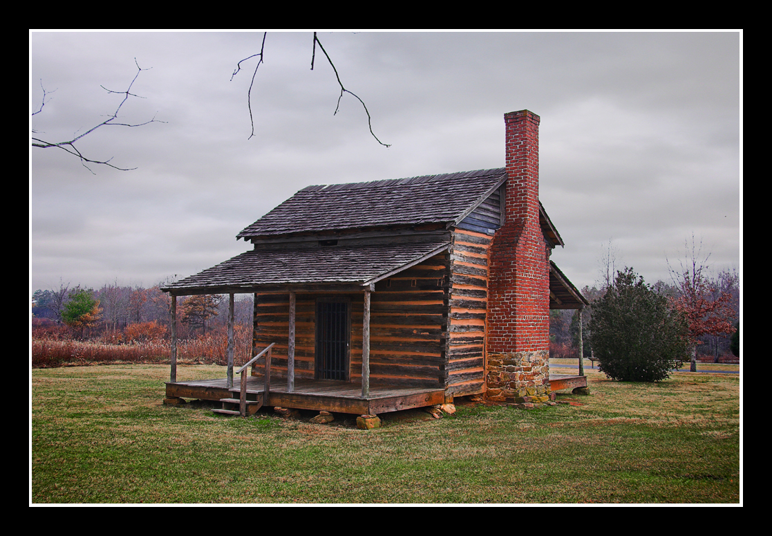
Cabin at Cowpens

Poppy field
Serenity.

Sunset in North Carolina. 6-17-13
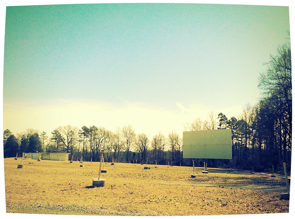
The Last Picture Show

Another day, another G•Webb sunset.

Carolina "Thunderbumper"

Revolutionary War Reenactment Camp at Cowpens on the National Parks Centennial... #dramatic #clouds #sky #reenactment #tent #cowpens #revolution #revolutionary #revolutionarywar #camp #turningpoint #shotoniphone6
Pouring Rain

Spangler Stadium
old camp
State Route 11, Chesnee Highway, Near Gaffney, South Carolina
Cowpens Battlefield 1
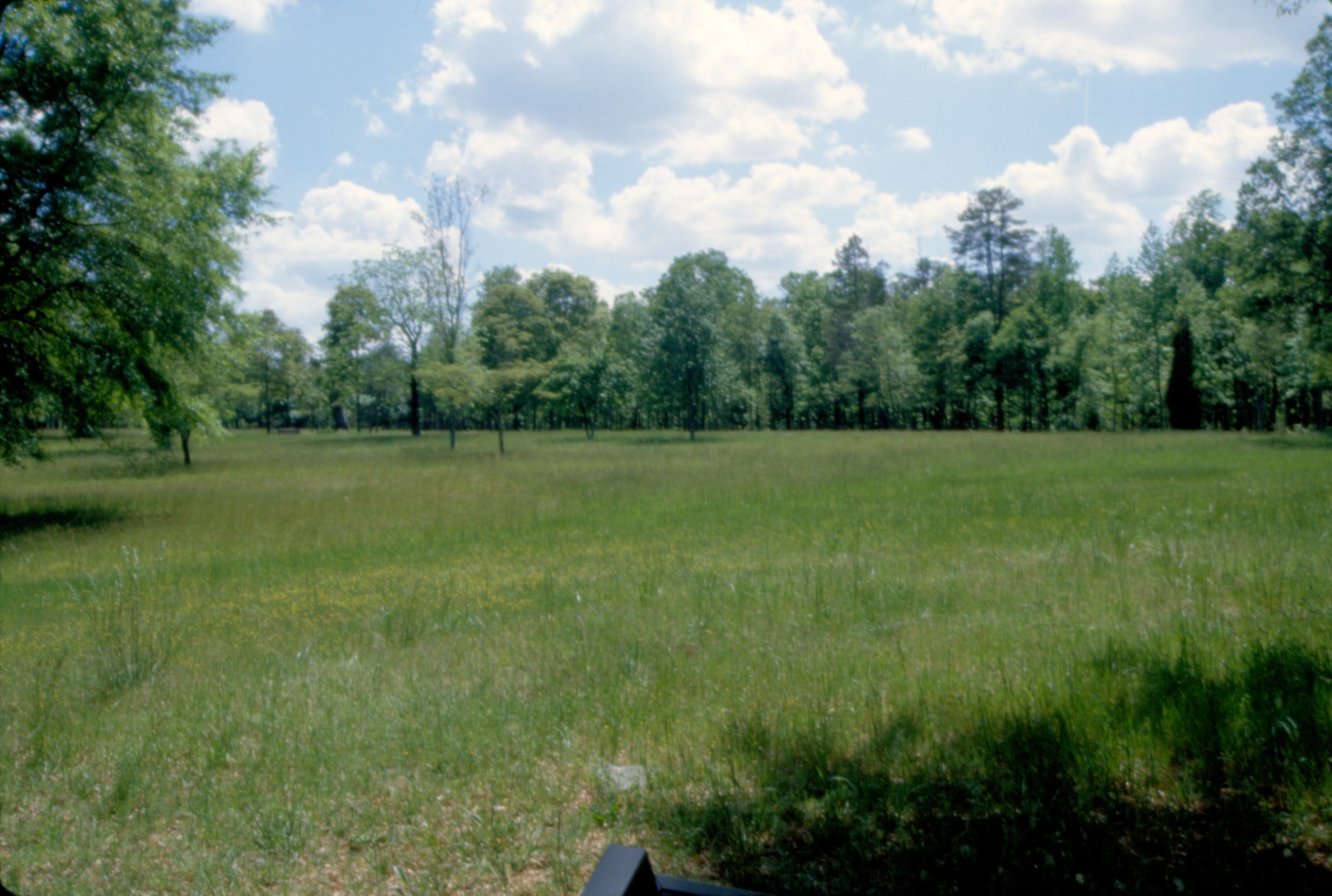
Site of the Battle, Cowpens National Battlefield, South Carolina
125 Dragoons at Cowpens Img354_17
142 British Army Area Img254_30
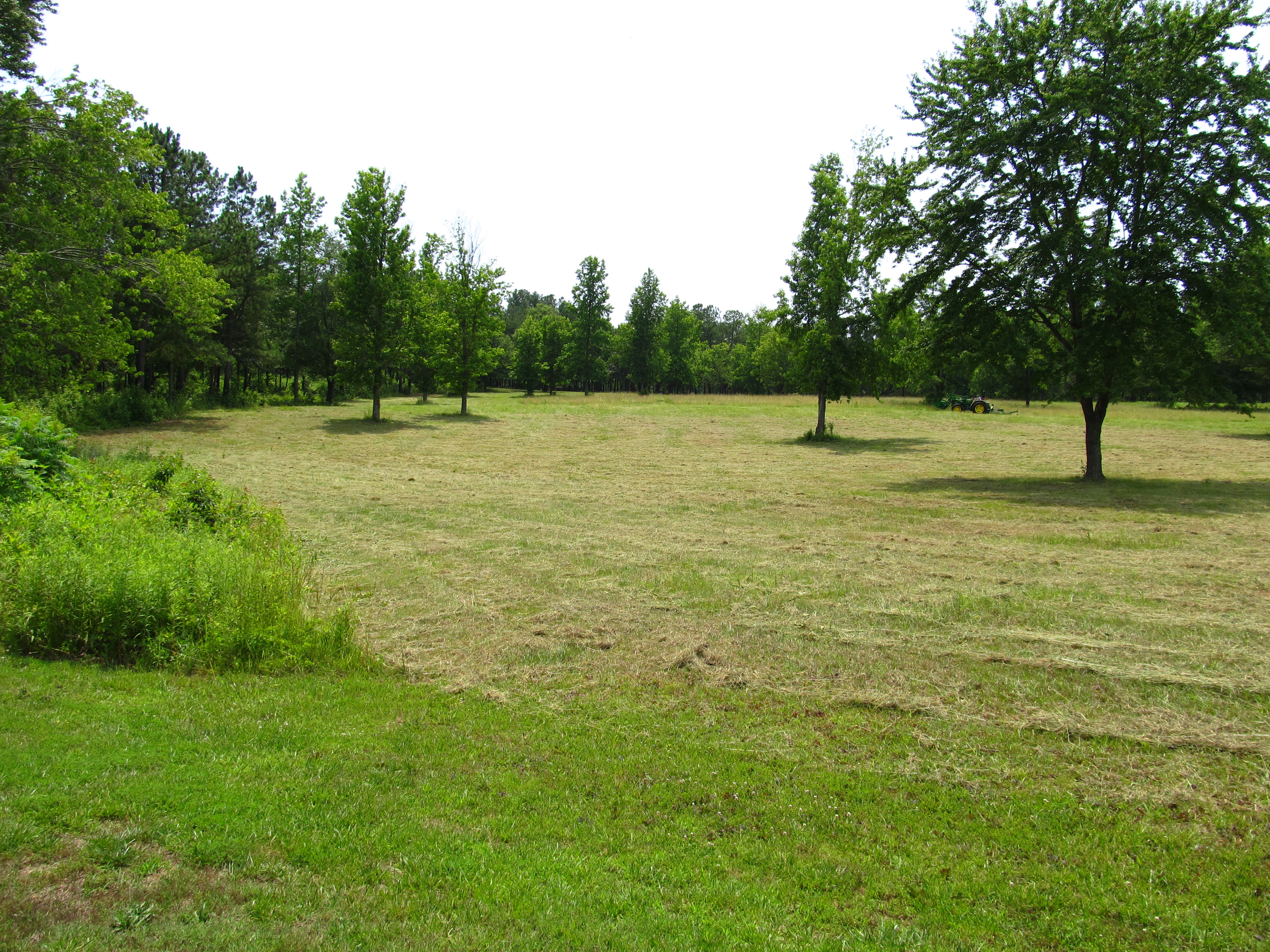
133 Grassy Meadow Img254_23
141 British Army Area Img254_29
154 Misunderstood Img_2353
Cowpens 10-23-2014 - Landscape 2
Topographic Map of Old Main St, Mooresboro, NC, USA
Find elevation by address:

Places near Old Main St, Mooresboro, NC, USA:
High Shoals
199 Ballenger Rd
180 Lake Rd
Spencer St, Spindale, NC, USA
Hawkins Reynolds Rd, Gaffney, SC, USA
101 Scenic Ridge Dr
1, River
410 Hodge Rd
Phillips Dr, Alexander Mills, NC, USA
Main St, Ellenboro, NC, USA
Ellenboro
Mooresboro
125 Sapling Ln
N Main St, Shelby, NC, USA
Boiling Springs
407 N Main St
Snowy Ridge
Snowy Ridge
2, Boiling Springs
Henson Road
Recent Searches:
- Elevation of Corso Fratelli Cairoli, 35, Macerata MC, Italy
- Elevation of Tallevast Rd, Sarasota, FL, USA
- Elevation of 4th St E, Sonoma, CA, USA
- Elevation of Black Hollow Rd, Pennsdale, PA, USA
- Elevation of Oakland Ave, Williamsport, PA, USA
- Elevation of Pedrógão Grande, Portugal
- Elevation of Klee Dr, Martinsburg, WV, USA
- Elevation of Via Roma, Pieranica CR, Italy
- Elevation of Tavkvetili Mountain, Georgia
- Elevation of Hartfords Bluff Cir, Mt Pleasant, SC, USA