Elevation of Snowy Ridge, Sulphur Springs, NC, USA
Location: United States > North Carolina > Rutherford County > Cool Spring > Forest City >
Longitude: -81.873691
Latitude: 35.2703771
Elevation: 247m / 810feet
Barometric Pressure: 98KPa
Elevation Map:
Satellite Map:
Related Photos:

View from the Courthouse

Out Back

Henrietta Mills No. 1, Henrietta, Rutherford Co., N.C.

Hardin's Drug Store Billboard - Forest City, NC
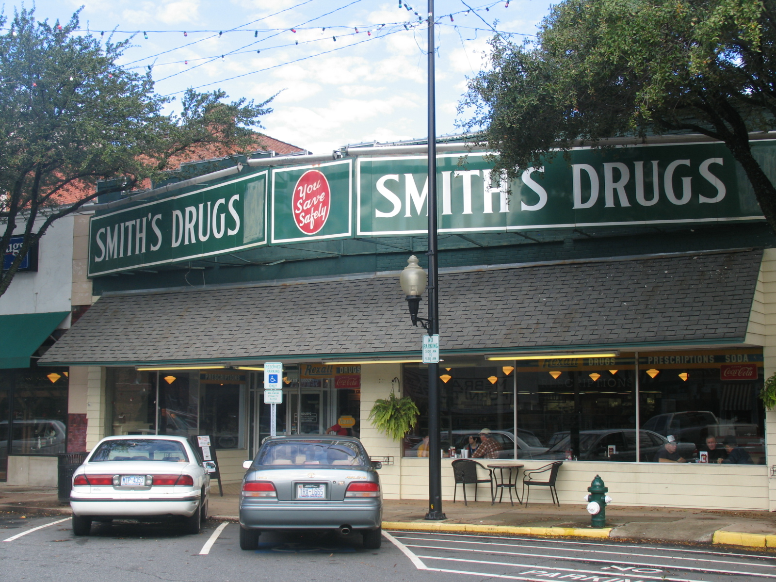
Smith's Drugs - Forest City, NC

Forest City, NC
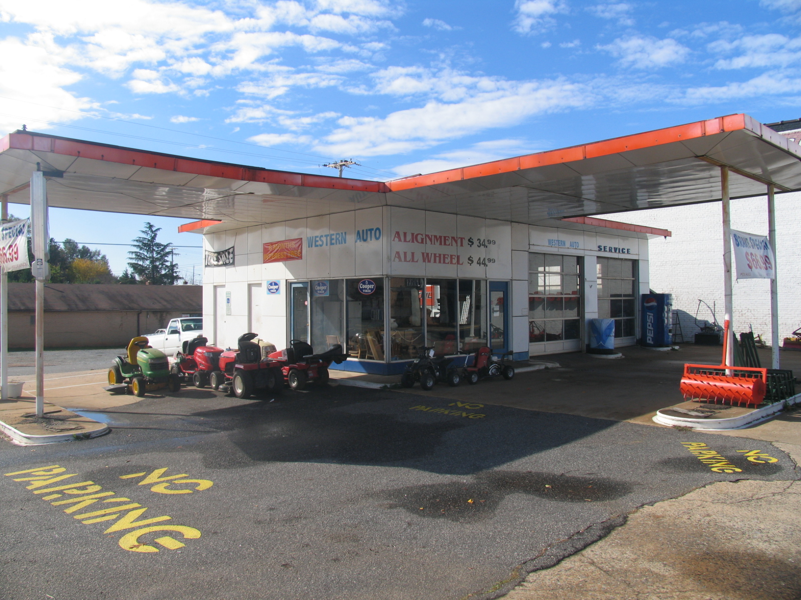
Old Gulf Station (now Western Auto) - Forest City, NC
Cowpens 10-23-2014 - What The British Saw

Western Auto - Forest City, NC

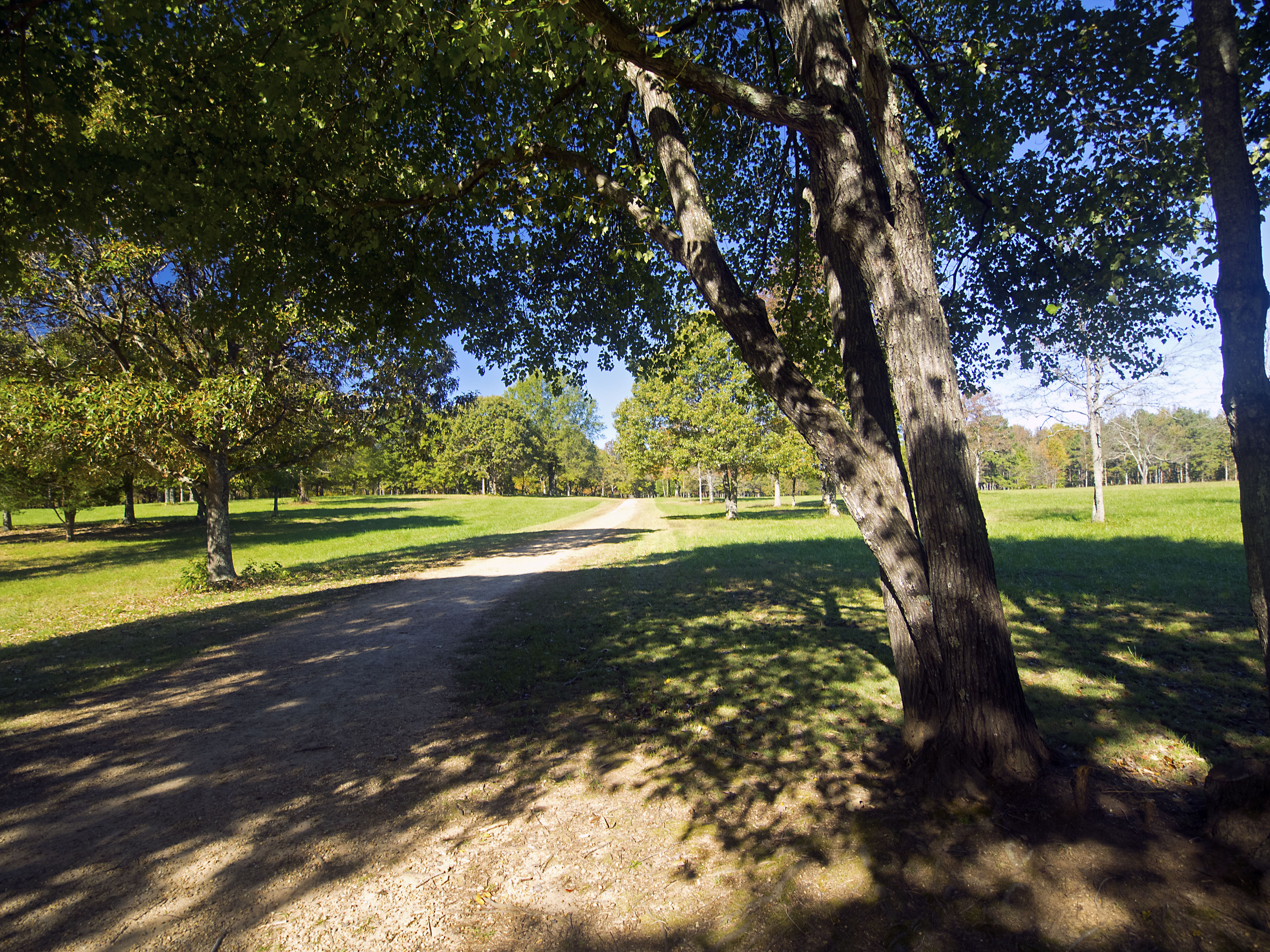
A beautiful day in the Appalachians....

Revolutionary War Reenactment Camp at Cowpens on the National Parks Centennial... #dramatic #clouds #sky #reenactment #tent #cowpens #revolution #revolutionary #revolutionarywar #camp #turningpoint #shotoniphone6

Sunset in North Carolina. 6-17-13

A Sunless Country

Pouring Rain

Cowpens 10-23-2014 - Landscape 2

foothillsshot-1

Cowpens 10-23-2014 - Landscape 1

133 Grassy Meadow Img254_23

142 British Army Area Img254_30

141 British Army Area Img254_29

125 Dragoons at Cowpens Img354_17

154 Misunderstood Img_2353

Cooley Farms South Carolina

IMG_2408 (640x480)

IMG_2411 (640x480)

IMG_2310 (640x480)

IMG_2497 (640x480)

IMG_2491 (640x480)

IMG_2435 (640x480)

IMG_3944 (640x480)
Topographic Map of Snowy Ridge, Sulphur Springs, NC, USA
Find elevation by address:

Places near Snowy Ridge, Sulphur Springs, NC, USA:
Snowy Ridge
Henson Road
340 Harris Holly Springs Rd
Alexander Mills, NC, USA
Phillips Dr, Alexander Mills, NC, USA
Walker Lake Rd, Forest City, NC, USA
Rollins St, Forest City, NC, USA
196 Pine St
Cool Spring
125 Sapling Ln
825 Piney Ridge Rd
180 Lake Rd
Spencer St, Spindale, NC, USA
High Shoals
Old Main St, Mooresboro, NC, USA
199 Ballenger Rd
Hawkins Reynolds Rd, Gaffney, SC, USA
Main St, Ellenboro, NC, USA
Ellenboro
410 Hodge Rd
Recent Searches:
- Elevation of Corso Fratelli Cairoli, 35, Macerata MC, Italy
- Elevation of Tallevast Rd, Sarasota, FL, USA
- Elevation of 4th St E, Sonoma, CA, USA
- Elevation of Black Hollow Rd, Pennsdale, PA, USA
- Elevation of Oakland Ave, Williamsport, PA, USA
- Elevation of Pedrógão Grande, Portugal
- Elevation of Klee Dr, Martinsburg, WV, USA
- Elevation of Via Roma, Pieranica CR, Italy
- Elevation of Tavkvetili Mountain, Georgia
- Elevation of Hartfords Bluff Cir, Mt Pleasant, SC, USA