Elevation of 2, Boiling Springs, NC, USA
Location: United States > North Carolina > Cleveland County >
Longitude: -81.6582994
Latitude: 35.2452416
Elevation: 239m / 784feet
Barometric Pressure: 0KPa
Related Photos:

Sun kissed poppies

Triumph Side-View

Federal Sign & Signal 2T22 - Shelby, NC
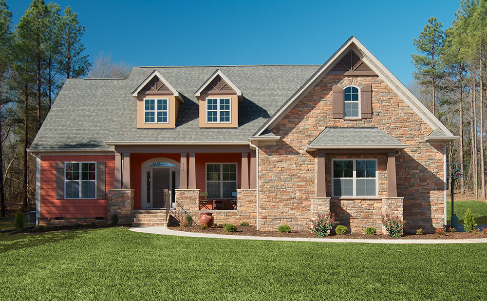
Plan #1220 - The Lisenby - Builder Submitted Photos
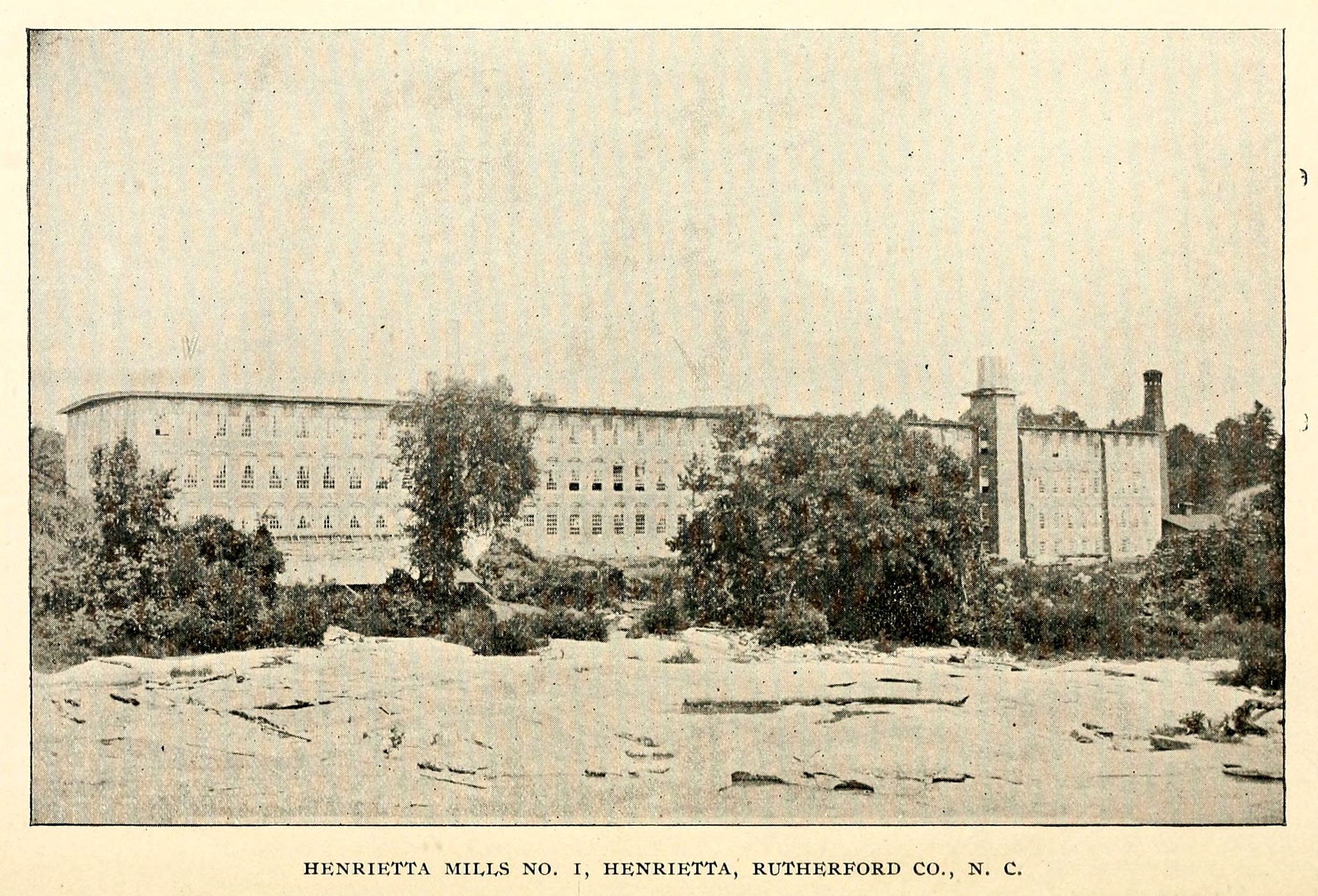
Henrietta Mills No. 1, Henrietta, Rutherford Co., N.C.

Side View, Old Cleveland County Courthouse

The gianormous ferris wheel with an awesome view tonight! #fair #fall #qualitytime #ferriswheel

So many daisies, so little time...

Poppy field
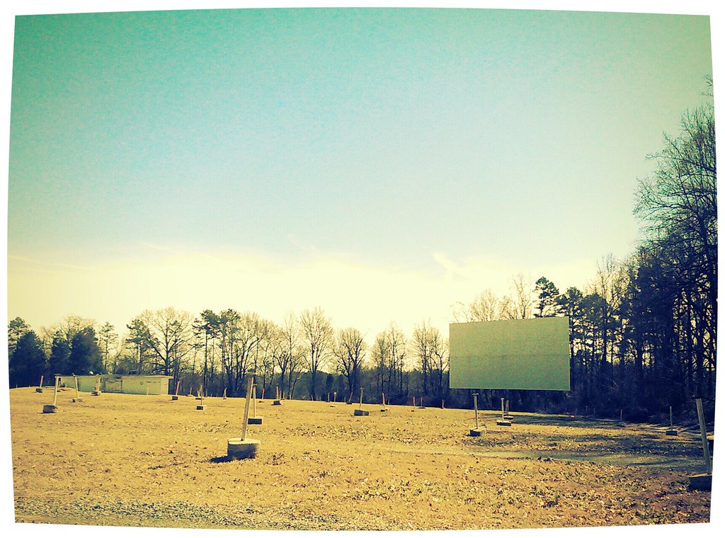
The Last Picture Show

30,000 feet above Tennessee

Where Rails Once Ran

Another day, another G•Webb sunset.

Carolina "Thunderbumper"

Spangler Stadium
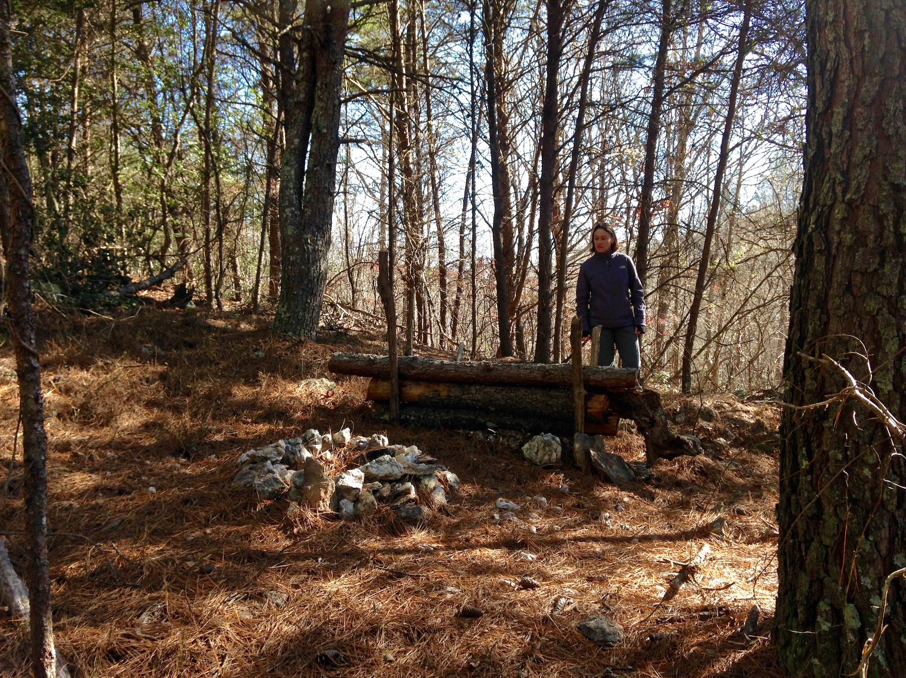
old camp
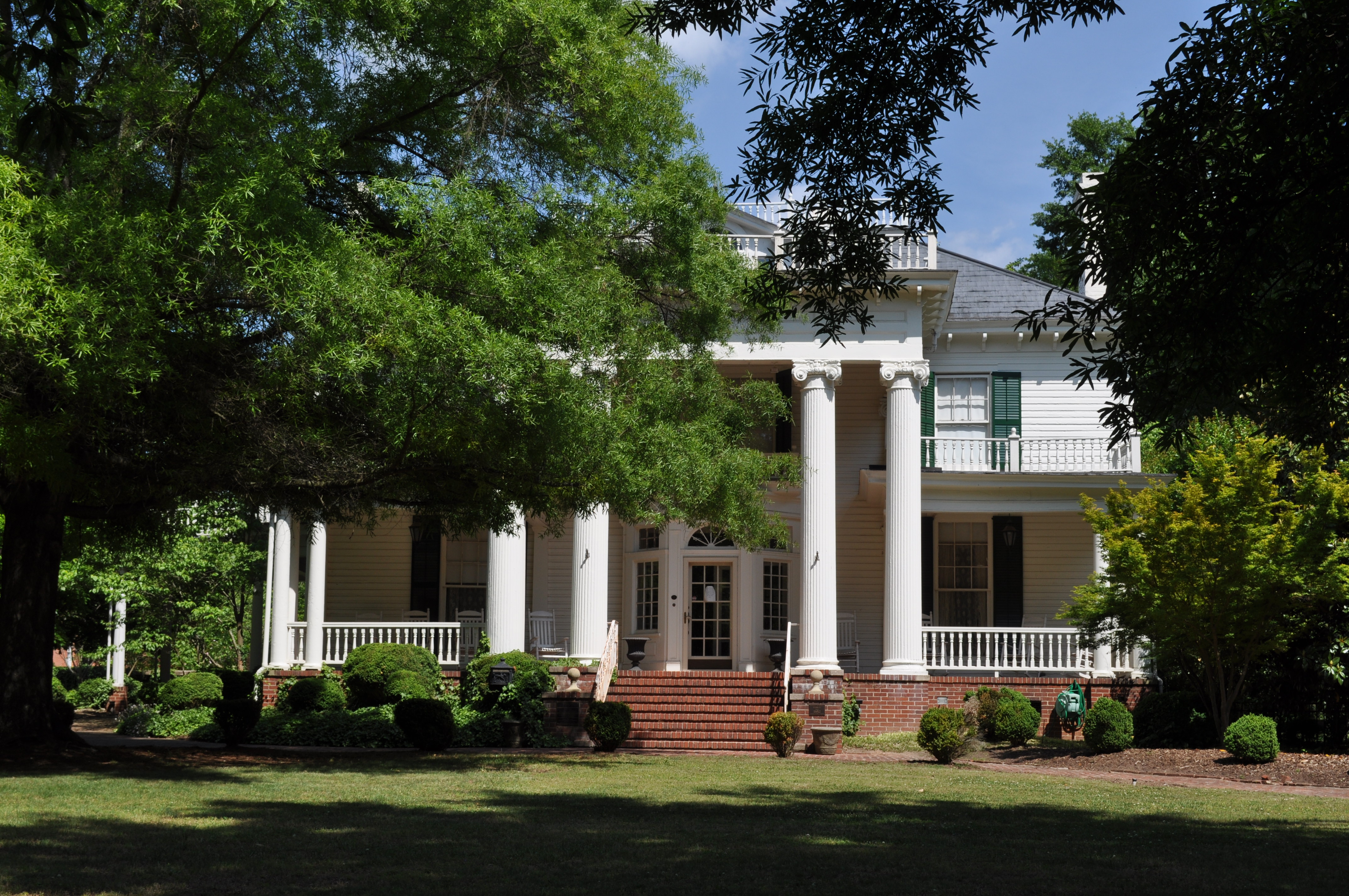
0450 Webbley Img_5780
Into the foothills

Paradise Nursery
Serenity.
State Route 11, Chesnee Highway, Near Gaffney, South Carolina

Broad River in the Afternoon
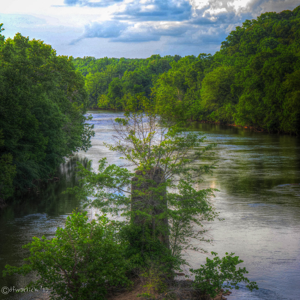
Broad River in the Afternoon

Broad River in the Afternoon

Right now: fishing the 1st Broad River
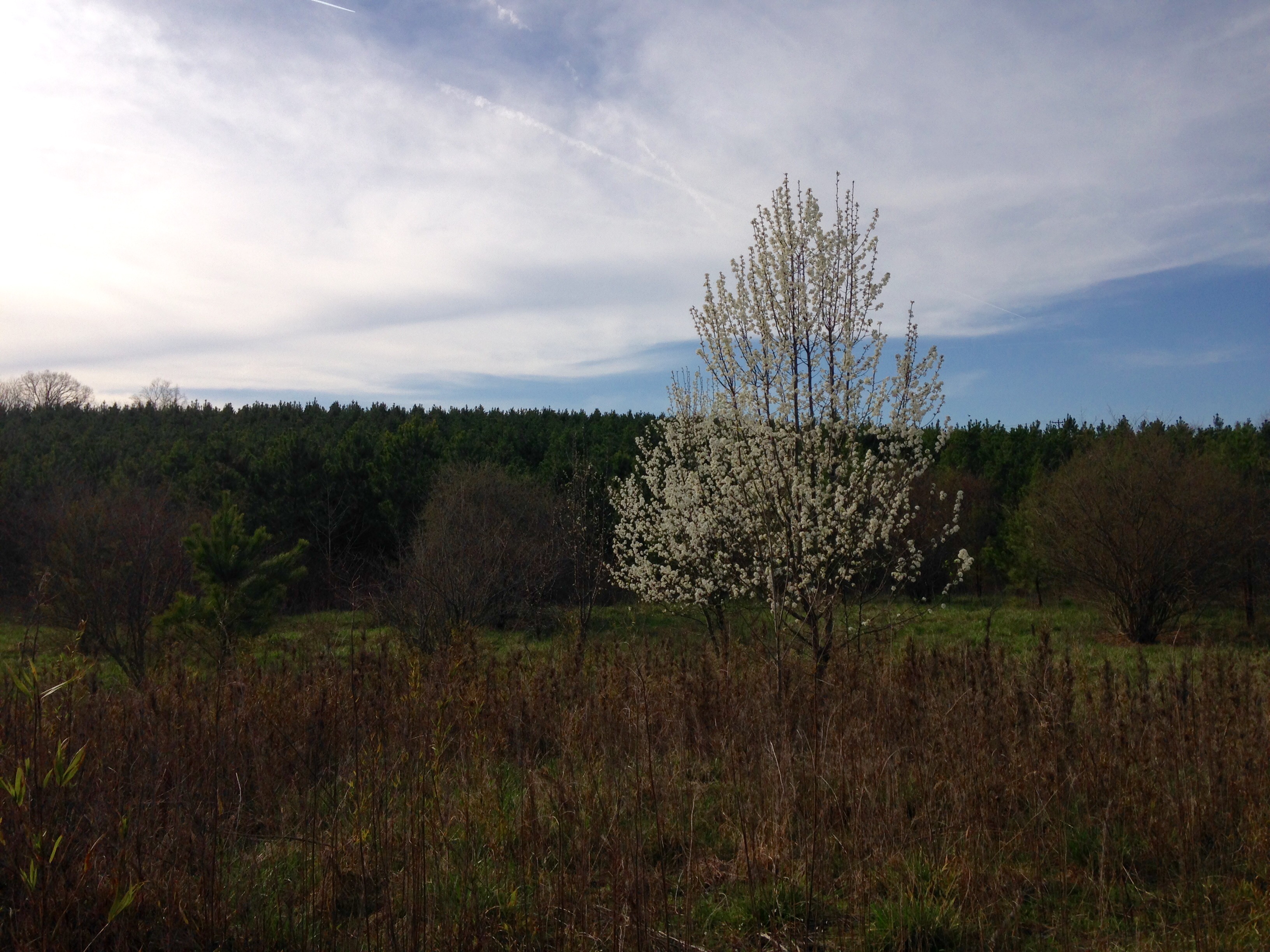
Bradford Pear
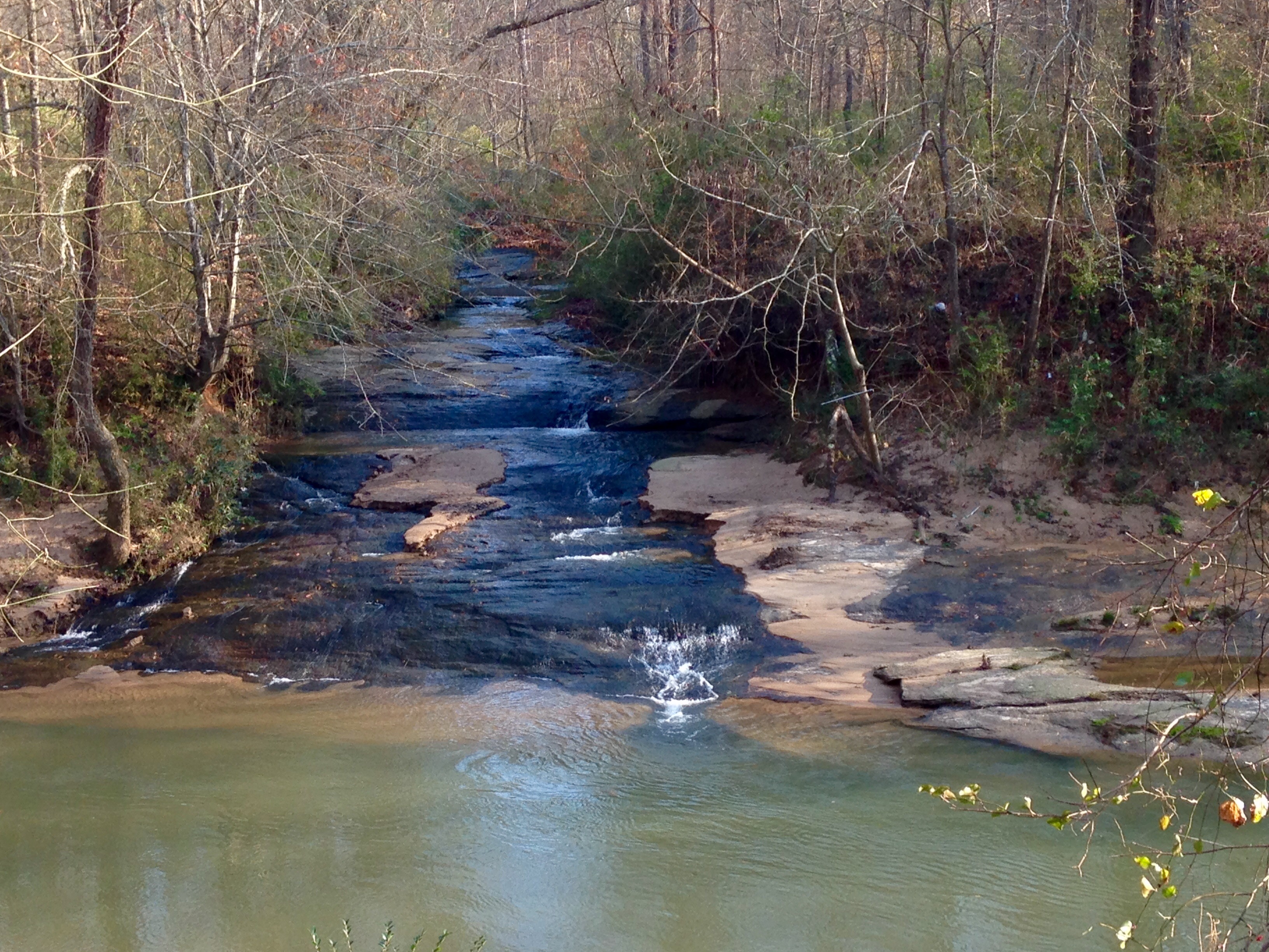
Sarah's Falls
Topographic Map of 2, Boiling Springs, NC, USA
Find elevation by address:

Places in 2, Boiling Springs, NC, USA:
Places near 2, Boiling Springs, NC, USA:
421 E College Ave
Boiling Springs
N Main St, Shelby, NC, USA
407 N Main St
Walkers Ridge Drive
336 Webb Farm Rd
W Dixon Blvd, Shelby, NC, USA
115 Francine Dr
Poplar Springs Church Rd, Shelby, NC, USA
Shelby-cleveland County Regional
101 Scenic Ridge Dr
1, River
Mooresboro
3807 Artee Rd
Suffolk Dr, Shelby, NC, USA
Washburn Rd, Shelby, NC, USA
2240 S Lafayette St
Surry Dr, Shelby, NC, USA
215 State Rd 1140
410 Hodge Rd
Recent Searches:
- Elevation of Pasing, Munich, Bavaria, 81241, Germany
- Elevation of 24, Auburn Bay Crescent SE, Auburn Bay, Calgary, Alberta, T3M 0A6, Canada
- Elevation of Denver, 2314, Arapahoe Street, Five Points, Denver, Colorado, 80205, USA
- Elevation of Community of the Beatitudes, 2924, West 43rd Avenue, Sunnyside, Denver, Colorado, 80211, USA
- Elevation map of Litang County, Sichuan, China
- Elevation map of Madoi County, Qinghai, China
- Elevation of 3314, Ohio State Route 114, Payne, Paulding County, Ohio, 45880, USA
- Elevation of Sarahills Drive, Saratoga, Santa Clara County, California, 95070, USA
- Elevation of Town of Bombay, Franklin County, New York, USA
- Elevation of 9, Convent Lane, Center Moriches, Suffolk County, New York, 11934, USA
- Elevation of Saint Angelas Convent, 9, Convent Lane, Center Moriches, Suffolk County, New York, 11934, USA
- Elevation of 131st Street Southwest, Mukilteo, Snohomish County, Washington, 98275, USA
- Elevation of 304, Harrison Road, Naples, Cumberland County, Maine, 04055, USA
- Elevation of 2362, Timber Ridge Road, Harrisburg, Cabarrus County, North Carolina, 28075, USA
- Elevation of Ridge Road, Marshalltown, Marshall County, Iowa, 50158, USA
- Elevation of 2459, Misty Shadows Drive, Pigeon Forge, Sevier County, Tennessee, 37862, USA
- Elevation of 8043, Brightwater Way, Spring Hill, Williamson County, Tennessee, 37179, USA
- Elevation of Starkweather Road, San Luis, Costilla County, Colorado, 81152, USA
- Elevation of 5277, Woodside Drive, Baton Rouge, East Baton Rouge Parish, Louisiana, 70808, USA
- Elevation of 1139, Curtin Street, Shepherd Park Plaza, Houston, Harris County, Texas, 77018, USA