Elevation of W Dixon Blvd, Shelby, NC, USA
Location: United States > North Carolina > Cleveland County > 7, Sandy Run >
Longitude: -81.6517271
Latitude: 35.2940084
Elevation: 267m / 876feet
Barometric Pressure: 0KPa
Related Photos:

Sun kissed poppies
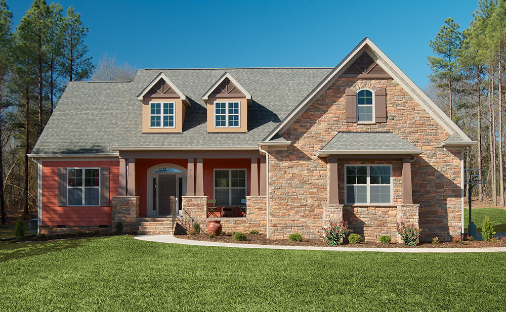
Plan #1220 - The Lisenby - Builder Submitted Photos

So many daisies, so little time...

Triumph Side-View

The gianormous ferris wheel with an awesome view tonight! #fair #fall #qualitytime #ferriswheel

Federal Sign & Signal 2T22 - Shelby, NC
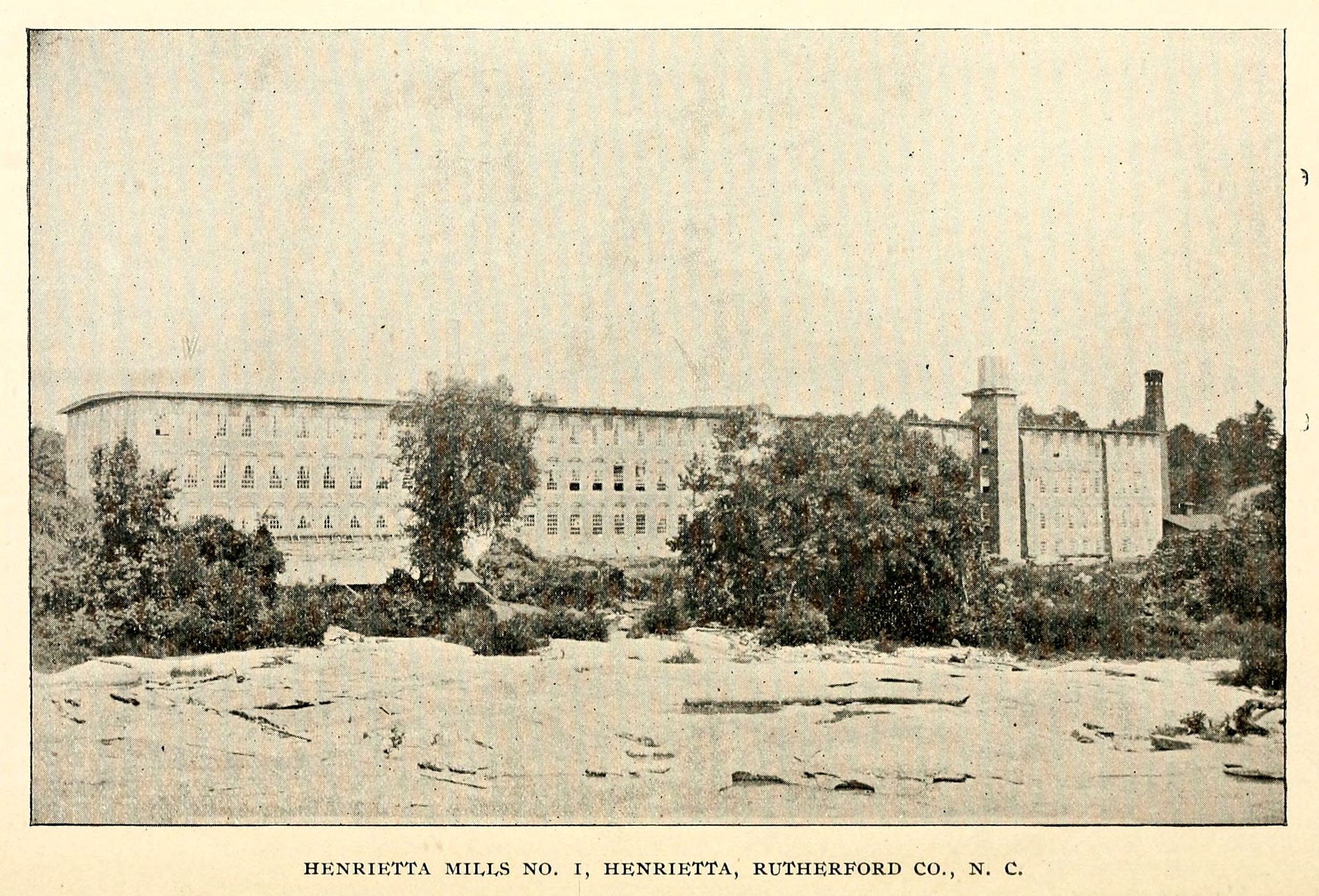
Henrietta Mills No. 1, Henrietta, Rutherford Co., N.C.

Happy Solstice

Bridges BBQ - Shelby, NC
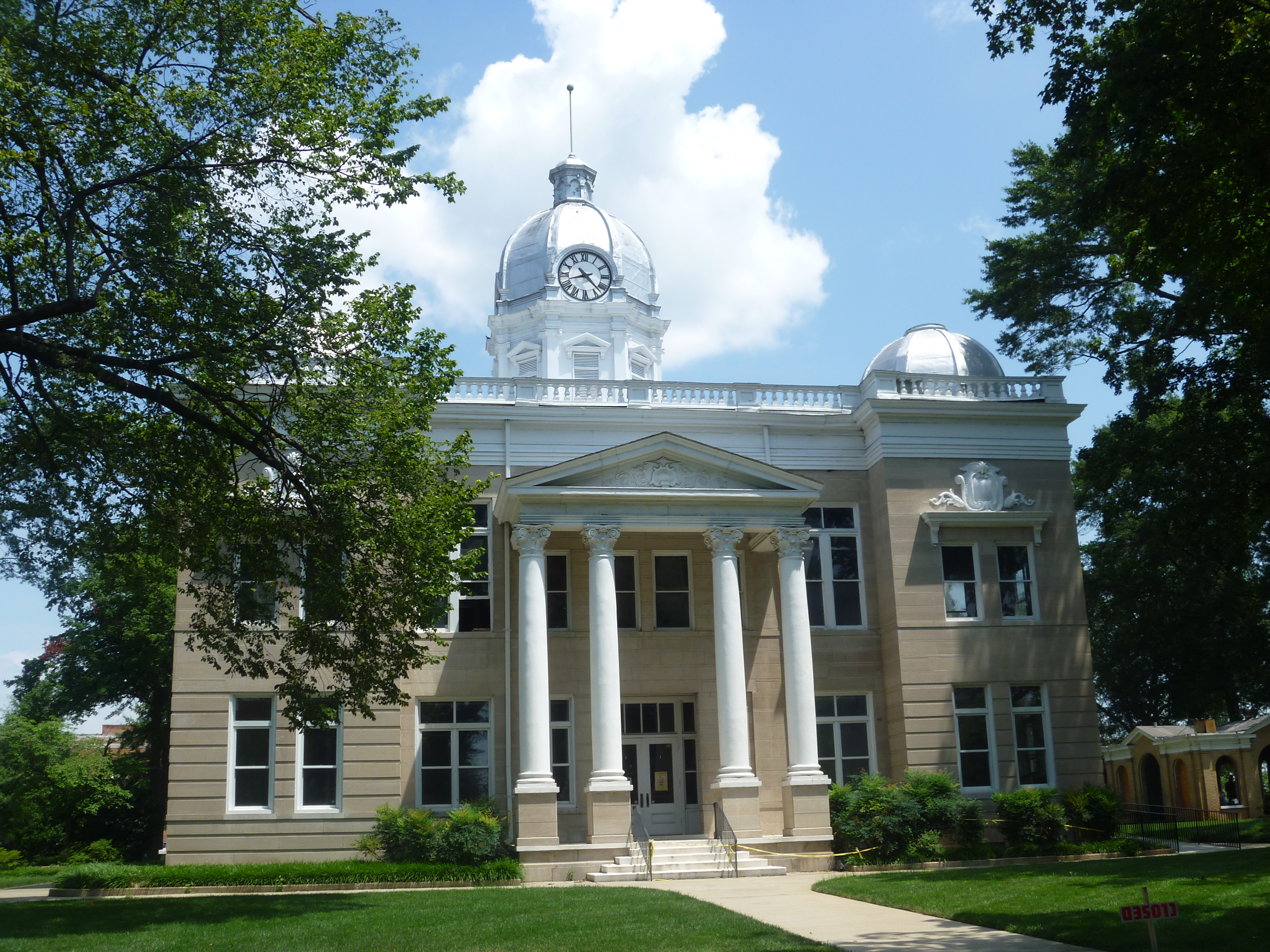
Side View, Old Cleveland County Courthouse

Carolina "Thunderbumper"

Spangler Stadium
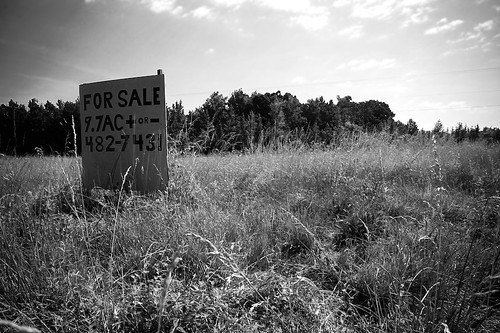
9.7

A scene from the tales of Uncle Remus, maybe...

Poppy field
The Last Picture Show

Crown Drumline at Sunset
30,000 feet above Tennessee
Farm Pasture with Solo Tree
Where Rails Once Ran

Another day, another G•Webb sunset.

Right now: fishing the 1st Broad River
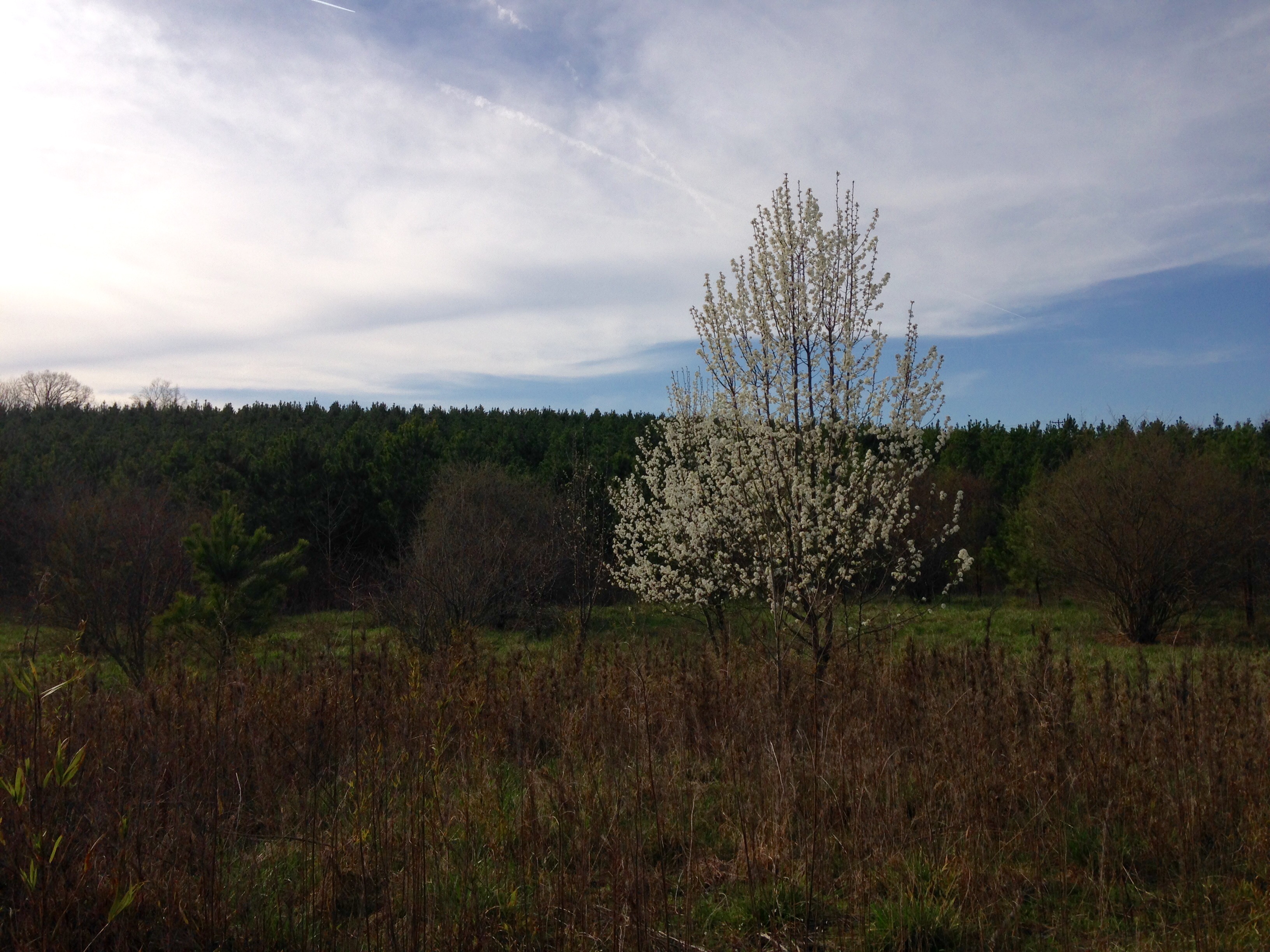
Bradford Pear
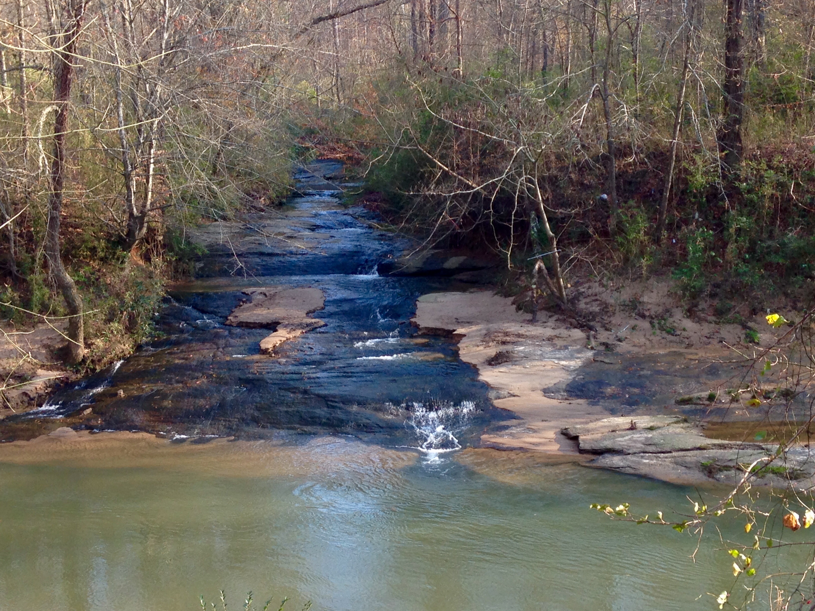
Sarah's Falls
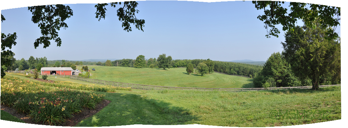
©MSM2012PaulOwen copy
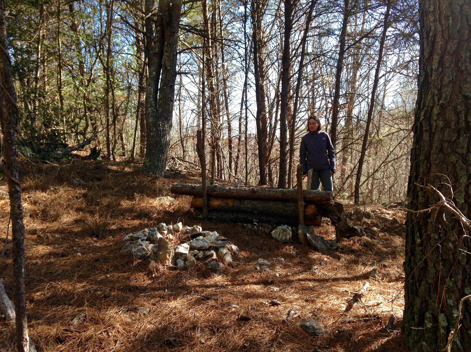
old camp
0450 Webbley Img_5780

Summer 2013
Into the foothills

Paradise Nursery
Topographic Map of W Dixon Blvd, Shelby, NC, USA
Find elevation by address:

Places near W Dixon Blvd, Shelby, NC, USA:
3807 Artee Rd
336 Webb Farm Rd
Walkers Ridge Drive
407 N Main St
Boiling Springs
N Main St, Shelby, NC, USA
421 E College Ave
Washburn Rd, Shelby, NC, USA
Mooresboro
2, Boiling Springs
115 Francine Dr
Poplar Springs Church Rd, Shelby, NC, USA
Shelby-cleveland County Regional
106 Ashland Ct
Suffolk Dr, Shelby, NC, USA
410 Hodge Rd
Surry Dr, Shelby, NC, USA
101 Scenic Ridge Dr
1, River
2240 S Lafayette St
Recent Searches:
- Elevation of 2881, Chabot Drive, San Bruno, San Mateo County, California, 94066, USA
- Elevation of 10370, West 107th Circle, Westminster, Jefferson County, Colorado, 80021, USA
- Elevation of 611, Roman Road, Old Ford, Bow, London, England, E3 2RW, United Kingdom
- Elevation of 116, Beartown Road, Underhill, Chittenden County, Vermont, 05489, USA
- Elevation of Window Rock, Colfax County, New Mexico, 87714, USA
- Elevation of 4807, Rosecroft Street, Kempsville Gardens, Virginia Beach, Virginia, 23464, USA
- Elevation map of Matawinie, Quebec, Canada
- Elevation of Sainte-Émélie-de-l'Énergie, Matawinie, Quebec, Canada
- Elevation of Rue du Pont, Sainte-Émélie-de-l'Énergie, Matawinie, Quebec, J0K2K0, Canada
- Elevation of 8, Rue de Bécancour, Blainville, Thérèse-De Blainville, Quebec, J7B1N2, Canada
- Elevation of Wilmot Court North, 163, University Avenue West, Northdale, Waterloo, Region of Waterloo, Ontario, N2L6B6, Canada
- Elevation map of Panamá Province, Panama
- Elevation of Balboa, Panamá Province, Panama
- Elevation of San Miguel, Balboa, Panamá Province, Panama
- Elevation of Isla Gibraleón, San Miguel, Balboa, Panamá Province, Panama
- Elevation of 4655, Krischke Road, Schulenburg, Fayette County, Texas, 78956, USA
- Elevation of Carnegie Avenue, Downtown Cleveland, Cleveland, Cuyahoga County, Ohio, 44115, USA
- Elevation of Walhonding, Coshocton County, Ohio, USA
- Elevation of Clifton Down, Clifton, Bristol, City of Bristol, England, BS8 3HU, United Kingdom
- Elevation map of Auvergne-Rhône-Alpes, France