Elevation of State Rd, Shelby, NC, USA
| Latitude | 35.2008574 |
|---|---|
| Longitude | -81.5686729 |
| Elevation | 259m / 850feet |
| Barometric Pressure | 983KPa |
Related Photos:

Plan #1220 - The Lisenby - Builder Submitted Photos

Federal Sign & Signal 2T22 - Shelby, NC

161002-3122 Gaffney

Last Light

Happy Solstice

Bridges BBQ - Shelby, NC

130201-0802 Grover

Side View, Old Cleveland County Courthouse

Triumph Side-View

Flying South

The gianormous ferris wheel with an awesome view tonight! #fair #fall #qualitytime #ferriswheel

Waiting train

Goat Island in the Broad River-99

Spangler Stadium

Another Sunset

Goat Island in the Broad River-82

Sunset on Earth
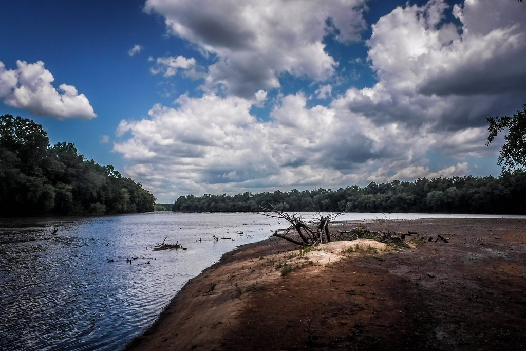
Goat Island in the Broad River-77

Just before Sunrise

Cloud magic....

Landscaped Beauty

Right now: fishing the 1st Broad River

Where Rails Once Ran
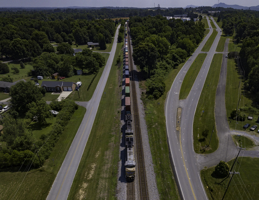
Long train waiting.

Snowy Sunset

*FISHON

Great Egret in the Sunset

The Last Picture Show

Kudzu, Near Shelby, North Carolina, U.S. 74

old camp

State Route 11, Chesnee Highway, Near Gaffney, South Carolina

Bradford Pear
Topographic Map of State Rd, Shelby, NC, USA
Find elevation by address:
Places near State Rd, Shelby, NC, USA:
2240 S Lafayette St
Suffolk Dr, Shelby, NC, USA
Shelby-cleveland County Regional
Surry Dr, Shelby, NC, USA
Poplar Springs Church Rd, Shelby, NC, USA
115 Francine Dr
Walkers Ridge Drive
421 E College Ave
2, Boiling Springs
336 Webb Farm Rd
Boiling Springs
N Main St, Shelby, NC, USA
407 N Main St
106 Ashland Ct
W Dixon Blvd, Shelby, NC, USA
1, River
3807 Artee Rd
101 Scenic Ridge Dr
Washburn Rd, Shelby, NC, USA
Mooresboro
Recent Searches:
- Elevation of 104, Chancery Road, Middletown Township, Bucks County, Pennsylvania, 19047, USA
- Elevation of 1212, Cypress Lane, Dayton, Liberty County, Texas, 77535, USA
- Elevation map of Central Hungary, Hungary
- Elevation map of Pest, Central Hungary, Hungary
- Elevation of Pilisszentkereszt, Pest, Central Hungary, Hungary
- Elevation of Dharamkot Tahsil, Punjab, India
- Elevation of Bhinder Khurd, Dharamkot Tahsil, Punjab, India
- Elevation of 2881, Chabot Drive, San Bruno, San Mateo County, California, 94066, USA
- Elevation of 10370, West 107th Circle, Westminster, Jefferson County, Colorado, 80021, USA
- Elevation of 611, Roman Road, Old Ford, Bow, London, England, E3 2RW, United Kingdom
- Elevation of 116, Beartown Road, Underhill, Chittenden County, Vermont, 05489, USA
- Elevation of Window Rock, Colfax County, New Mexico, 87714, USA
- Elevation of 4807, Rosecroft Street, Kempsville Gardens, Virginia Beach, Virginia, 23464, USA
- Elevation map of Matawinie, Quebec, Canada
- Elevation of Sainte-Émélie-de-l'Énergie, Matawinie, Quebec, Canada
- Elevation of Rue du Pont, Sainte-Émélie-de-l'Énergie, Matawinie, Quebec, J0K2K0, Canada
- Elevation of 8, Rue de Bécancour, Blainville, Thérèse-De Blainville, Quebec, J7B1N2, Canada
- Elevation of Wilmot Court North, 163, University Avenue West, Northdale, Waterloo, Region of Waterloo, Ontario, N2L6B6, Canada
- Elevation map of Panamá Province, Panama
- Elevation of Balboa, Panamá Province, Panama