Elevation of John Warren Dr, Forest City, NC, USA
Location: United States > North Carolina > Rutherford County > Cool Spring > Forest City >
Longitude: -81.8840424
Latitude: 35.3553898
Elevation: 309m / 1014feet
Barometric Pressure: 0KPa
Related Photos:

View from the Courthouse

Out Back

Henrietta Mills No. 1, Henrietta, Rutherford Co., N.C.

Hardin's Drug Store Billboard - Forest City, NC
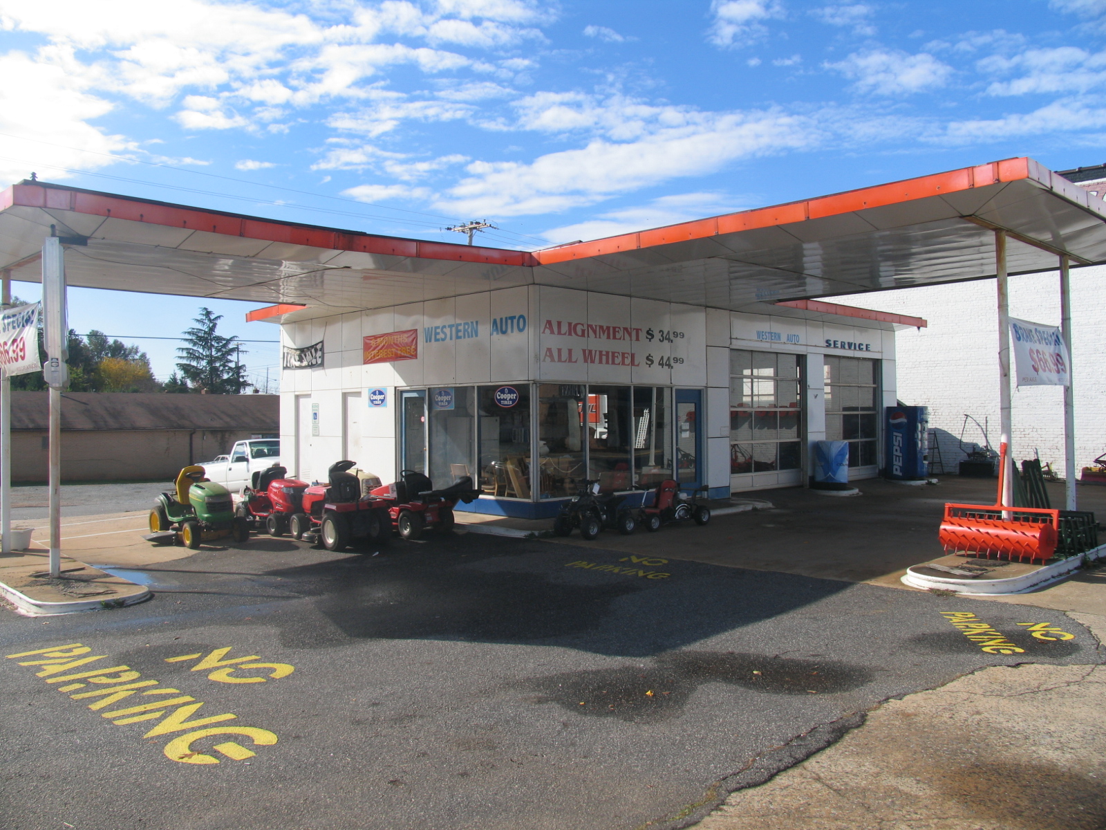
Old Gulf Station (now Western Auto) - Forest City, NC

Rutherfordton House

Mountain Beams

Pouring Rain

foothillsshot-1

IMG_2408 (640x480)

IMG_2411 (640x480)

IMG_2310 (640x480)

IMG_2497 (640x480)

IMG_2491 (640x480)

IMG_2435 (640x480)

IMG_3944 (640x480)

IMG_2243 (640x480)

IMG_2236 (640x480)

IMG_2490 (640x480)

IMG_2458 (640x480)

IMG_2249 (640x480)

IMG_1561 (640x480)

IMG_2507 (640x480)

IMG_2369 (640x480)

IMG_2241 (640x480)

IMG_1606 (640x480)
Topographic Map of John Warren Dr, Forest City, NC, USA
Find elevation by address:

Places near John Warren Dr, Forest City, NC, USA:
Old Wagy Road
163 Dalehurst Dr
129 Meadow Creek Dr
Forest City
Tate Street
East Main Street
160 Overlook Ave
838 Pea Ridge Rd
Bostic
100 N Main St
608 Robinson Creek Rd
Deen Ave, Forest City, NC, USA
Old U.S. 74, Bostic, NC, USA
240 Cabin Lake Rd
US-64, Rutherfordton, NC, USA
506 Tiney Rd
Rutherford County
1231 Andrew Mills Rd
Tiney Rd, Ellenboro, NC, USA
3709 Pearidge Rd
Recent Searches:
- Elevation map of Greenland, Greenland
- Elevation of Sullivan Hill, New York, New York, 10002, USA
- Elevation of Morehead Road, Withrow Downs, Charlotte, Mecklenburg County, North Carolina, 28262, USA
- Elevation of 2800, Morehead Road, Withrow Downs, Charlotte, Mecklenburg County, North Carolina, 28262, USA
- Elevation of Yangbi Yi Autonomous County, Yunnan, China
- Elevation of Pingpo, Yangbi Yi Autonomous County, Yunnan, China
- Elevation of Mount Malong, Pingpo, Yangbi Yi Autonomous County, Yunnan, China
- Elevation map of Yongping County, Yunnan, China
- Elevation of North 8th Street, Palatka, Putnam County, Florida, 32177, USA
- Elevation of 107, Big Apple Road, East Palatka, Putnam County, Florida, 32131, USA
- Elevation of Jiezi, Chongzhou City, Sichuan, China
- Elevation of Chongzhou City, Sichuan, China
- Elevation of Huaiyuan, Chongzhou City, Sichuan, China
- Elevation of Qingxia, Chengdu, Sichuan, China
- Elevation of Corso Fratelli Cairoli, 35, Macerata MC, Italy
- Elevation of Tallevast Rd, Sarasota, FL, USA
- Elevation of 4th St E, Sonoma, CA, USA
- Elevation of Black Hollow Rd, Pennsdale, PA, USA
- Elevation of Oakland Ave, Williamsport, PA, USA
- Elevation of Pedrógão Grande, Portugal