Elevation of Peppermint Cir, Jamestown, CA, USA
Location: United States > California > Tuolumne County > Jamestown >
Longitude: -120.42665
Latitude: 37.971527
Elevation: 541m / 1775feet
Barometric Pressure: 95KPa
Elevation Map:
Satellite Map:
Related Photos:
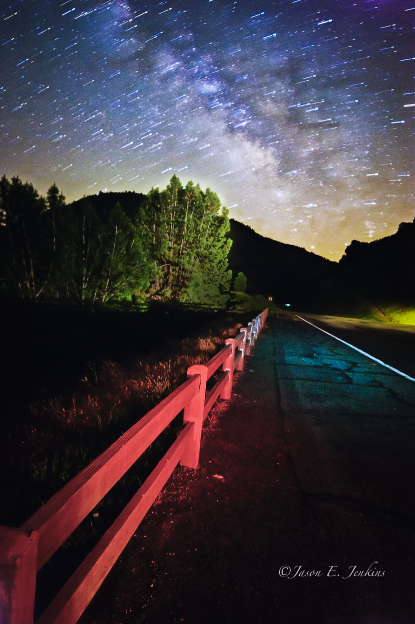
"Galactic Kaleidoscope"

The Poppies Have Arrived!

Occupational Olympics: Patterns In Architecture And Nature

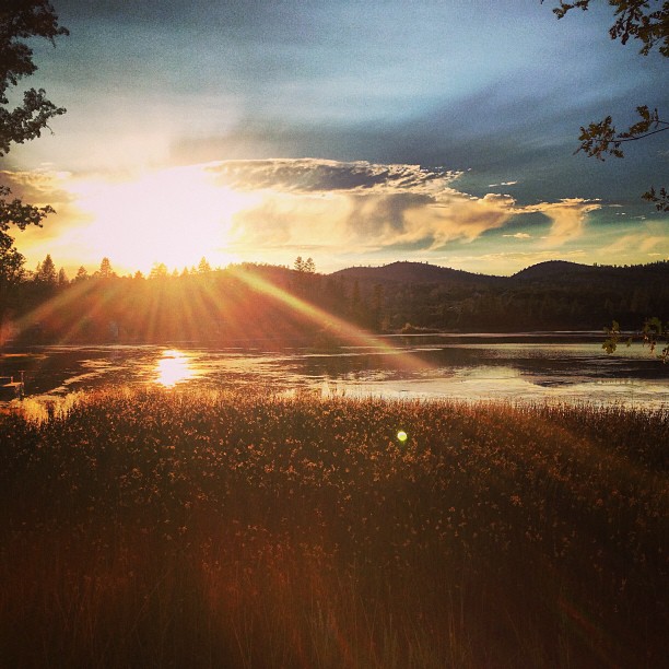
Love views #Sonora #Sunrise

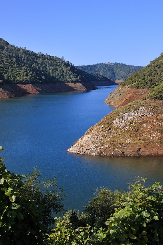
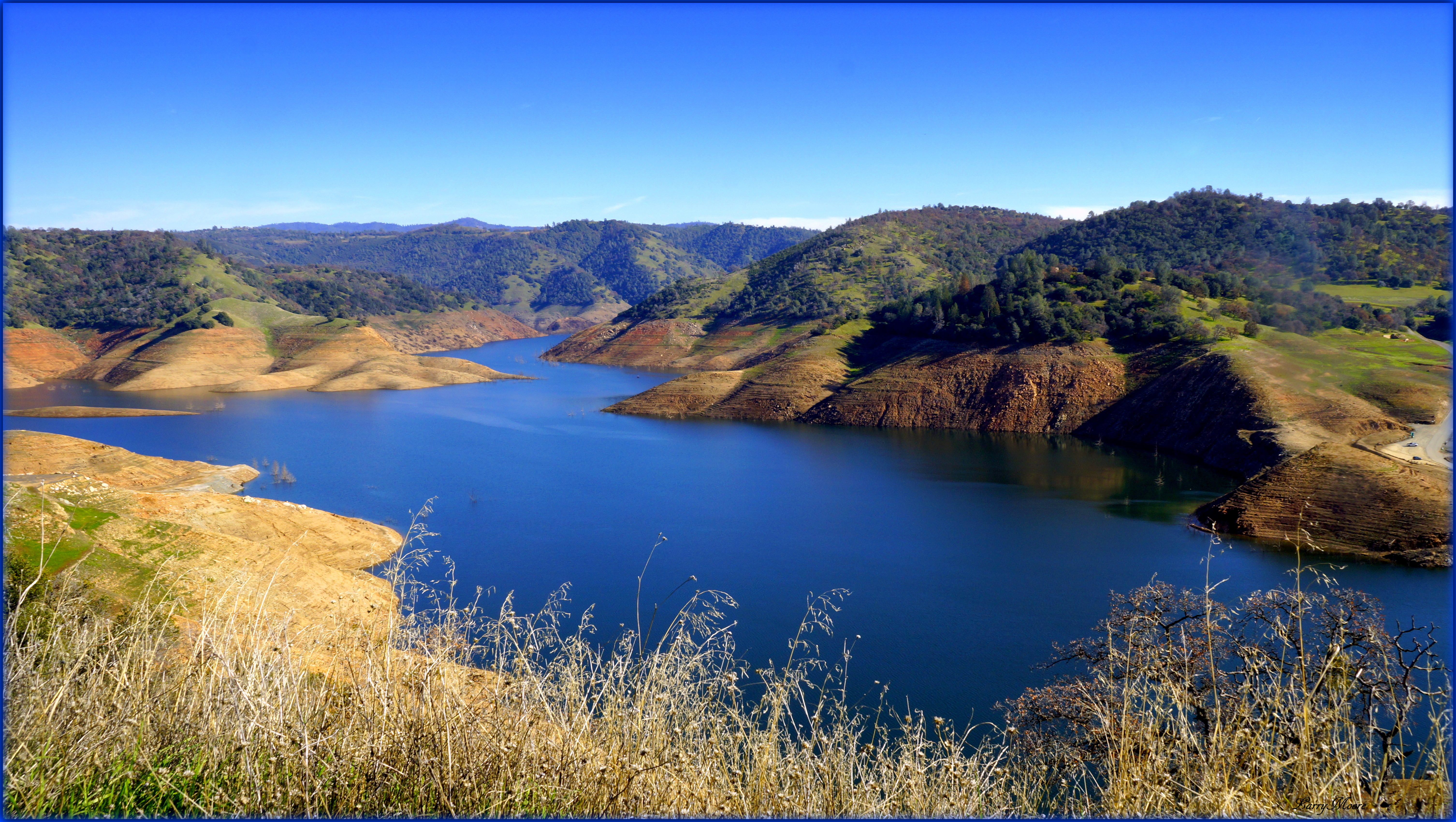
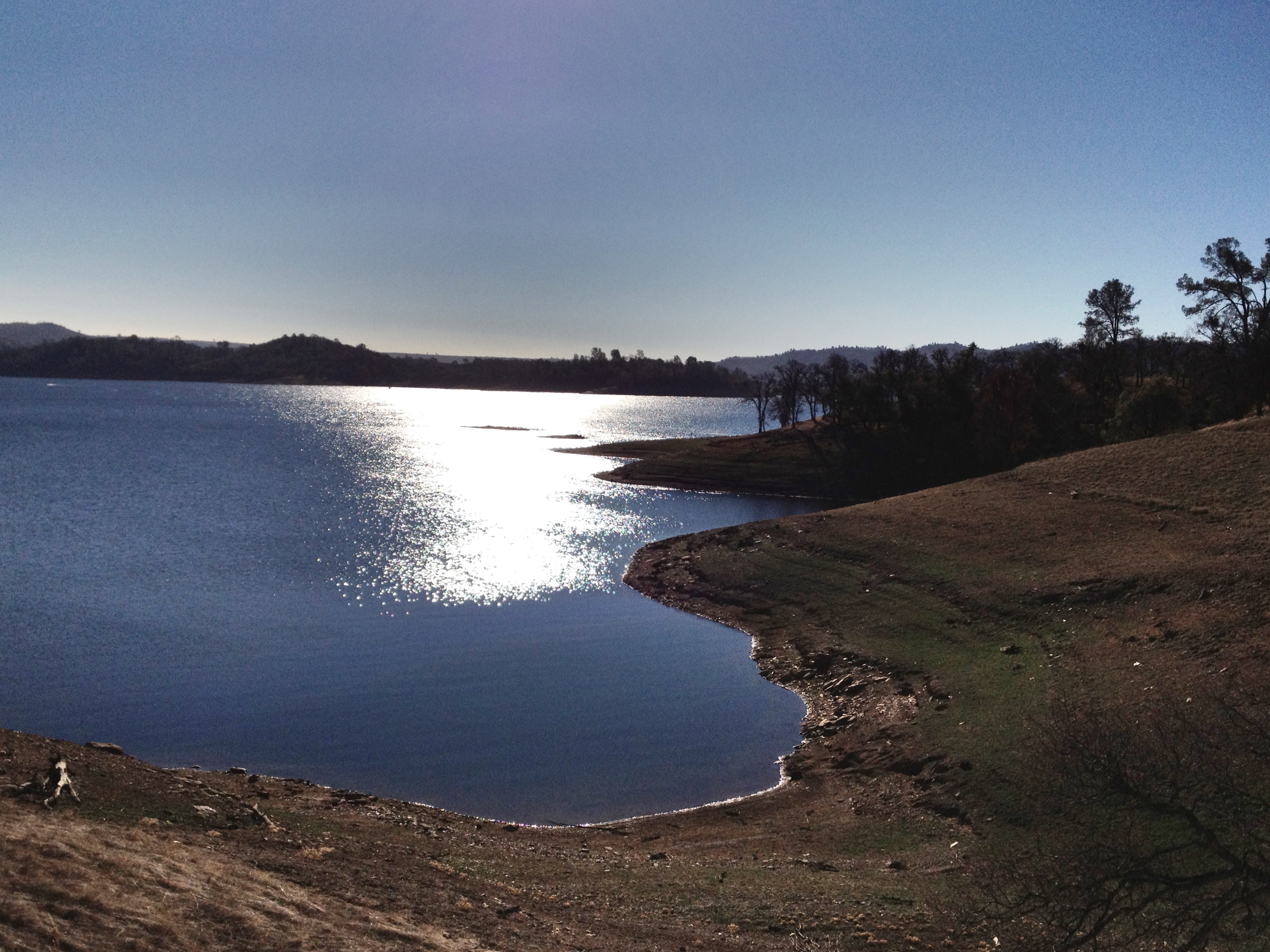
Lake Don Pedro
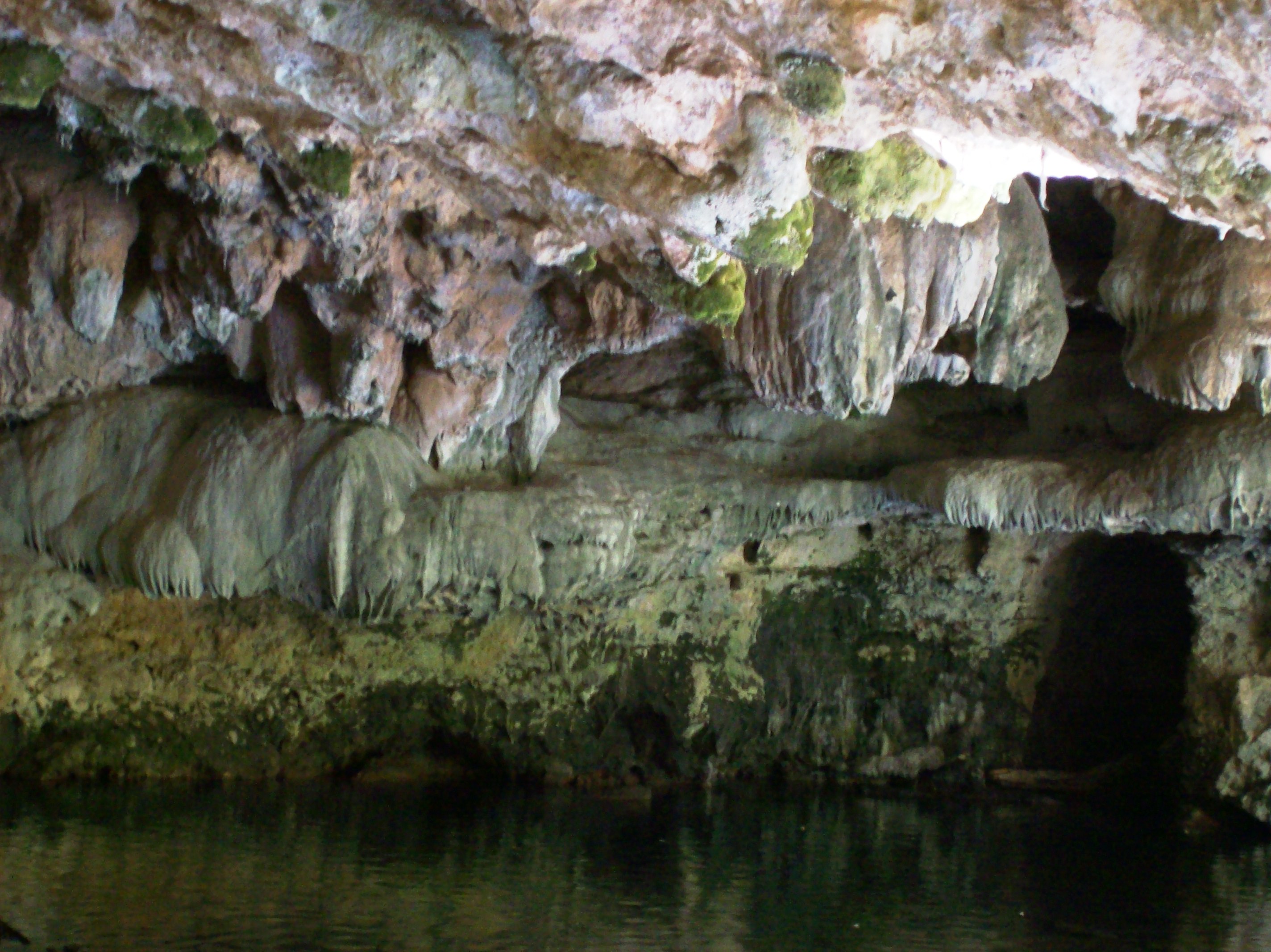
Stalagtites in the open-air entrance to the Natural Bridge at Calaveras County, CA - natural16
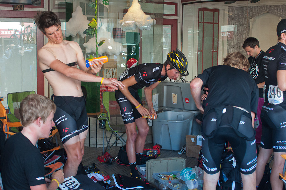
Bontrager Livestrong race preparation
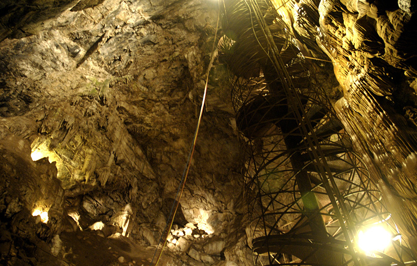
View up the spiral staircase leading to the bottom of Moaning Cavern, CA - moaning16

Best When Unexpected
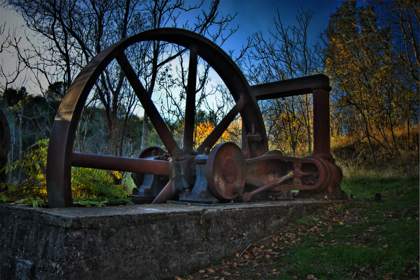
Utica Wheel

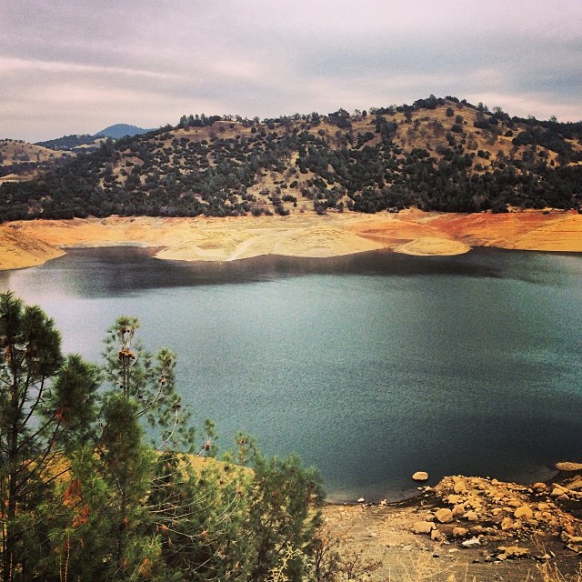
Lake Views
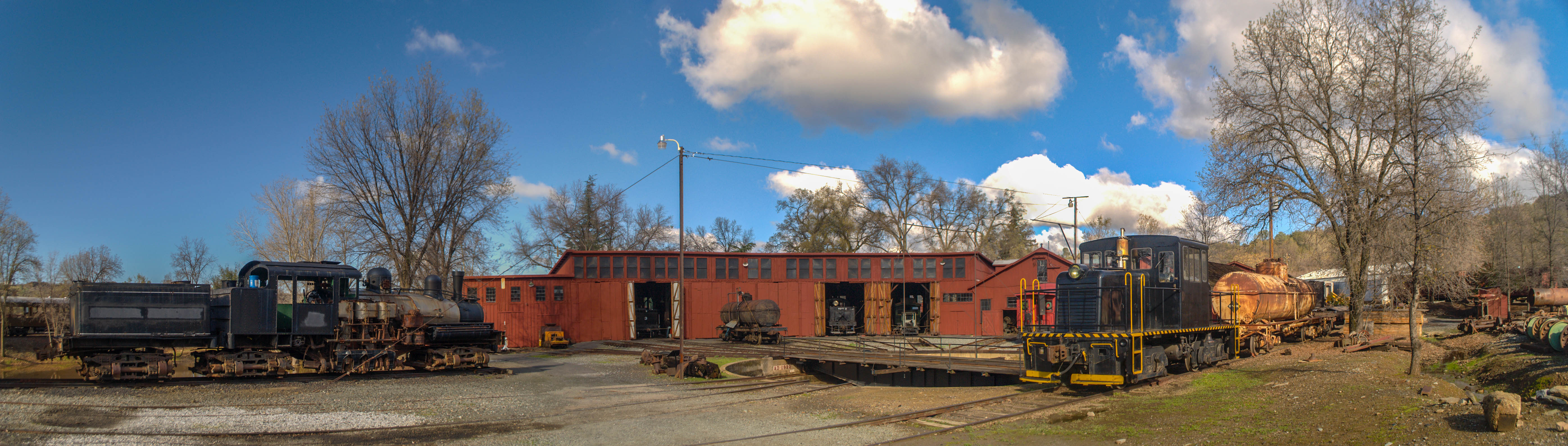
Sierra Railway Roundhouse (Panorama)
A Room with a view.
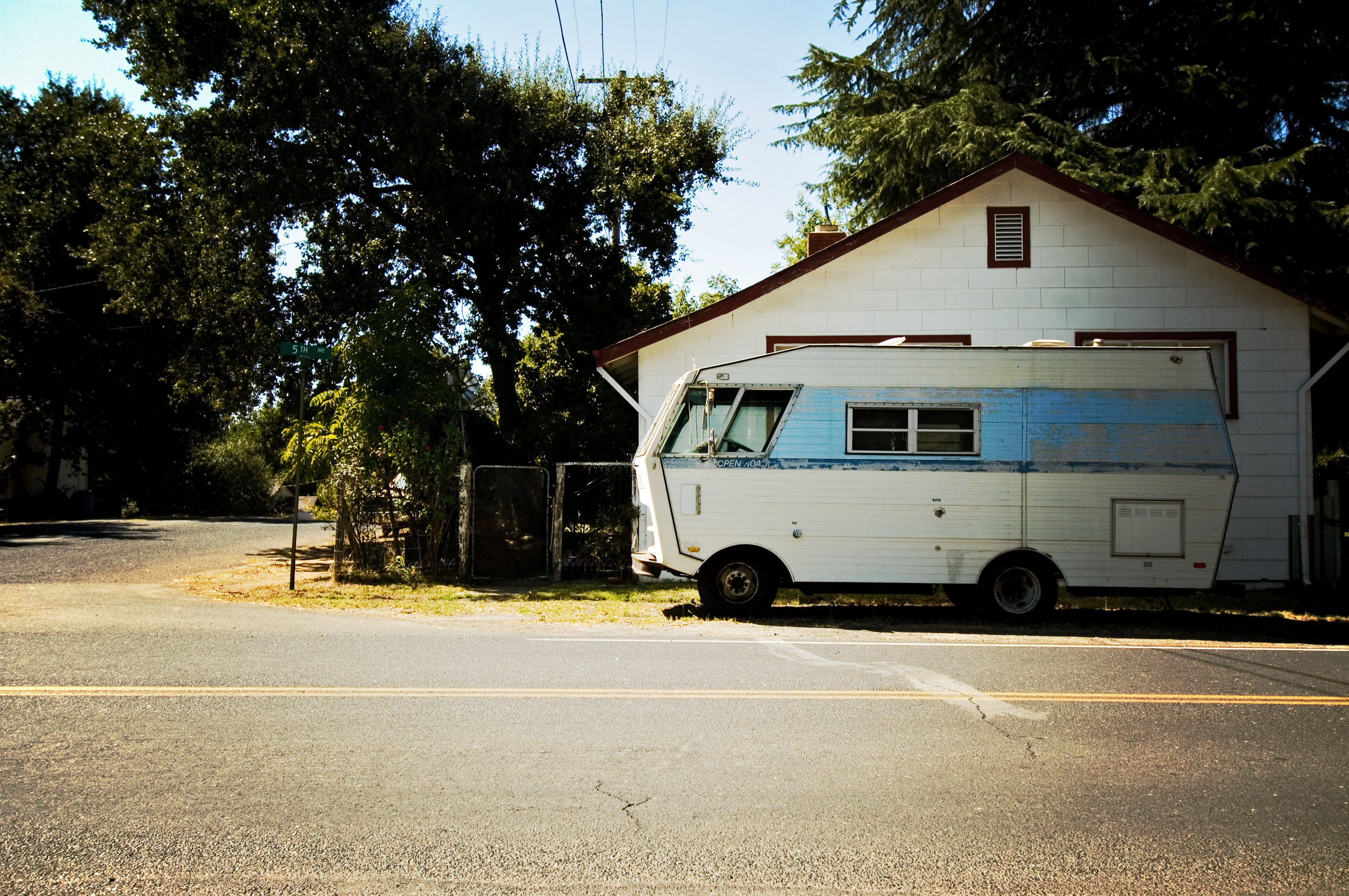
RV in Jamestowm
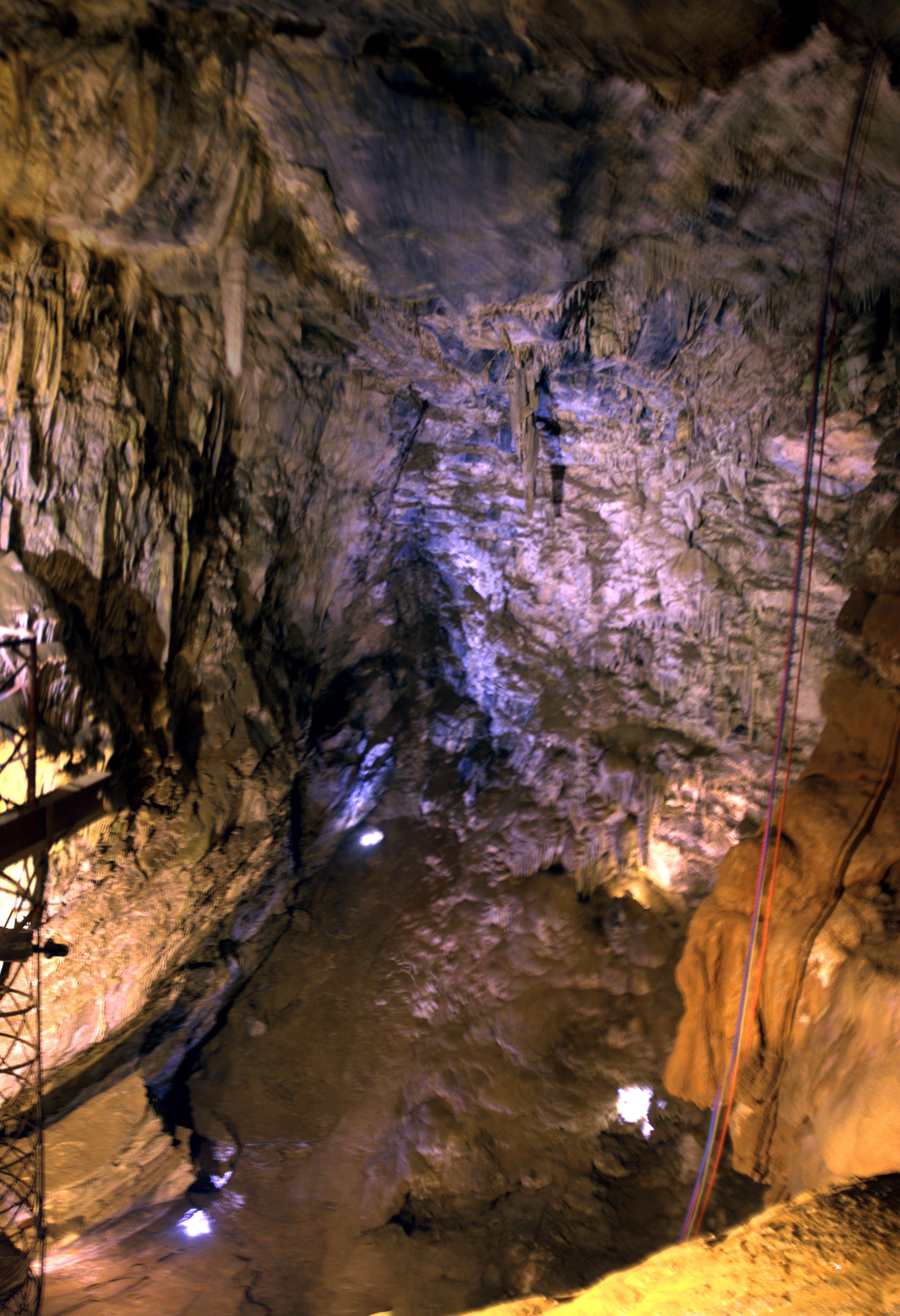
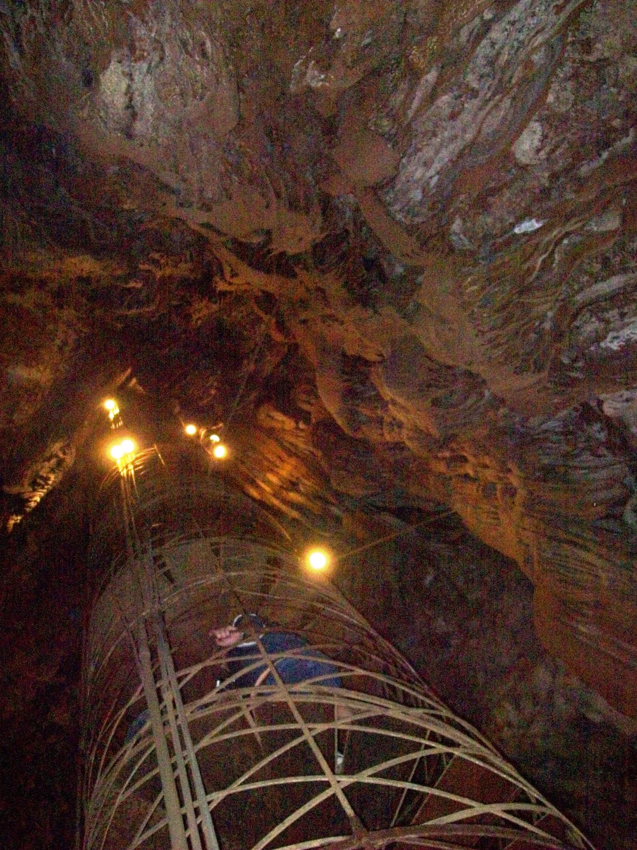
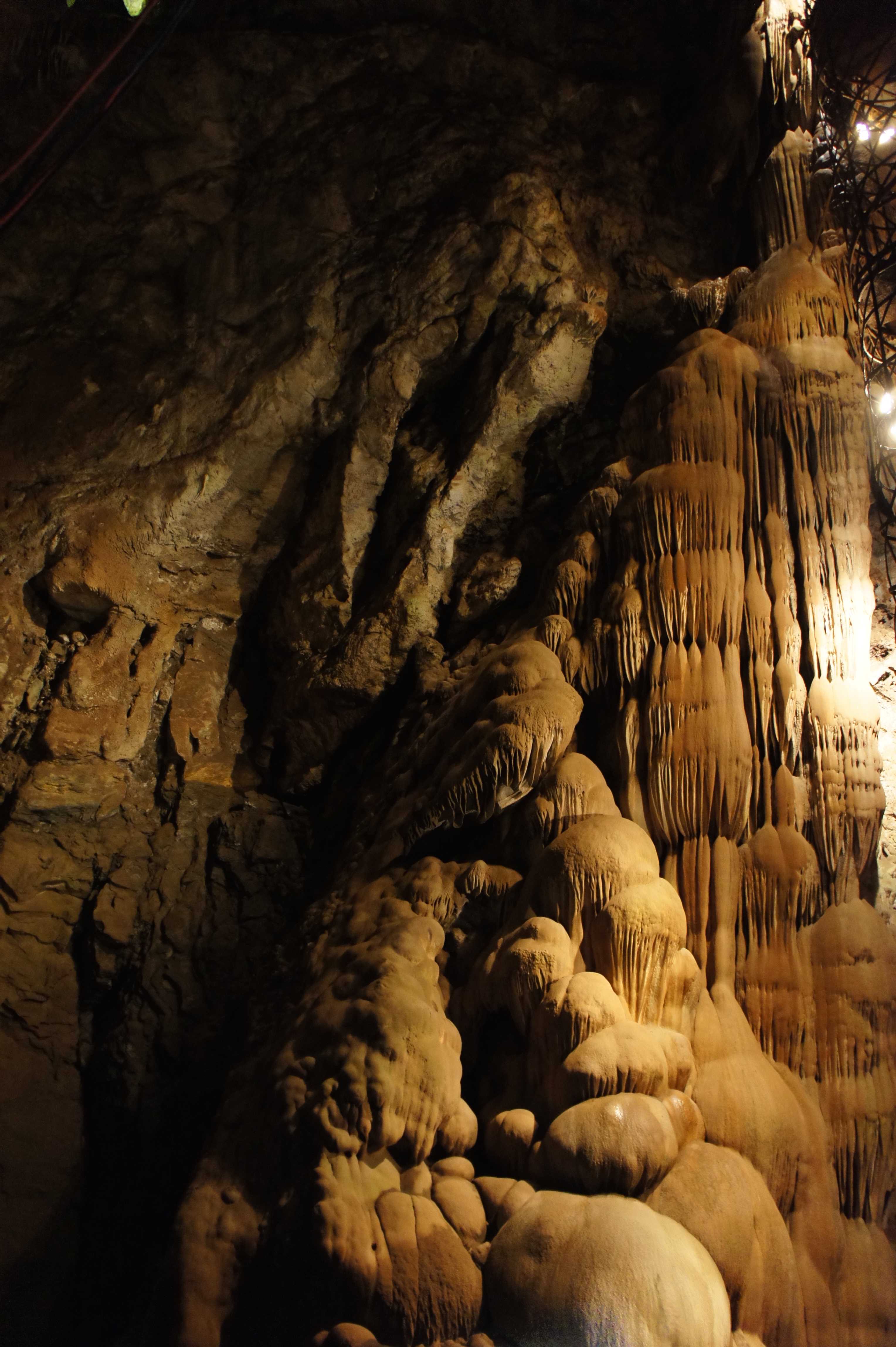
Moaning Cave Main Chamber 1
Moaning Cavern from the bottom.
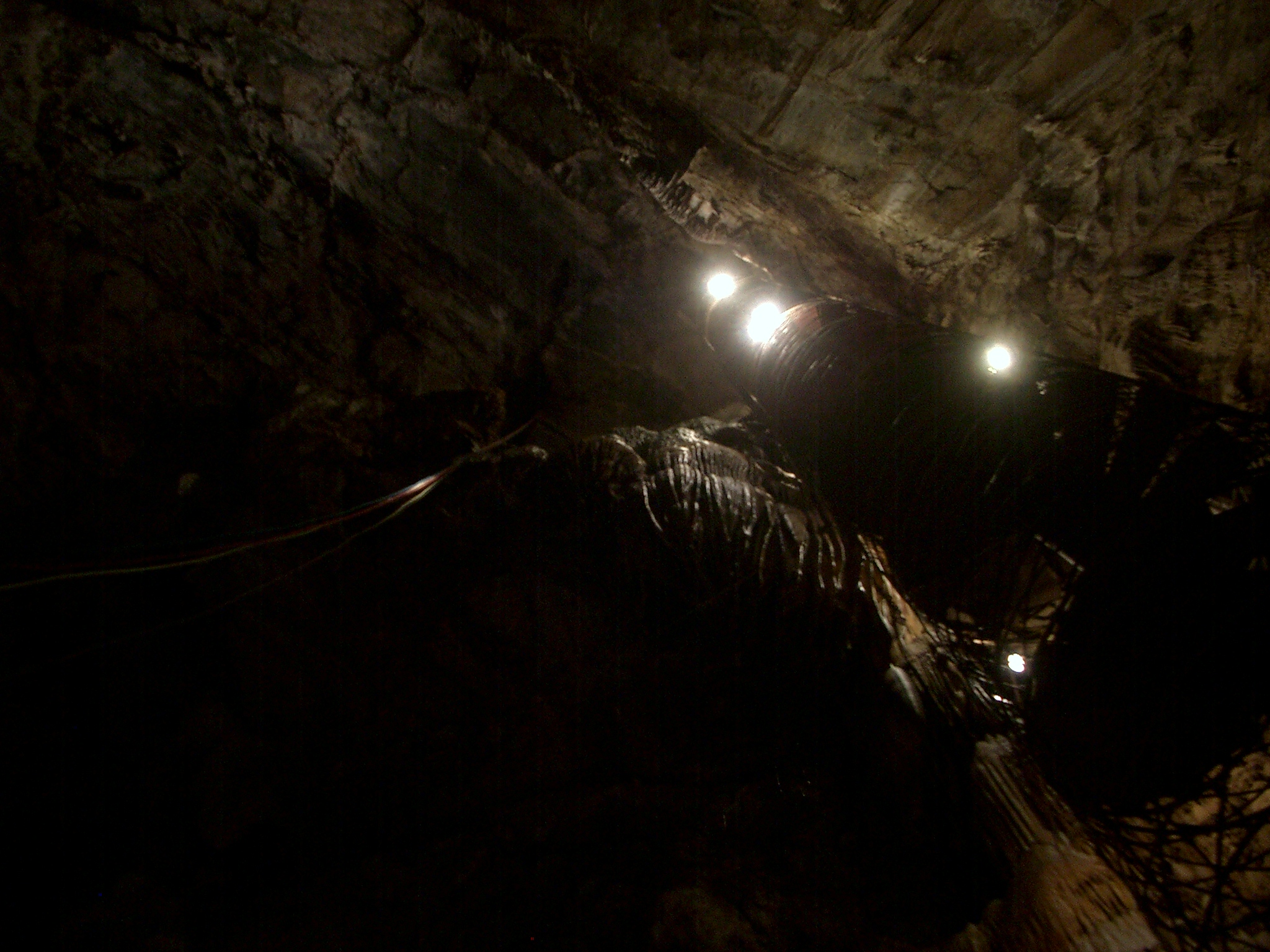
The View From Below

Lake Views

If only in b&w
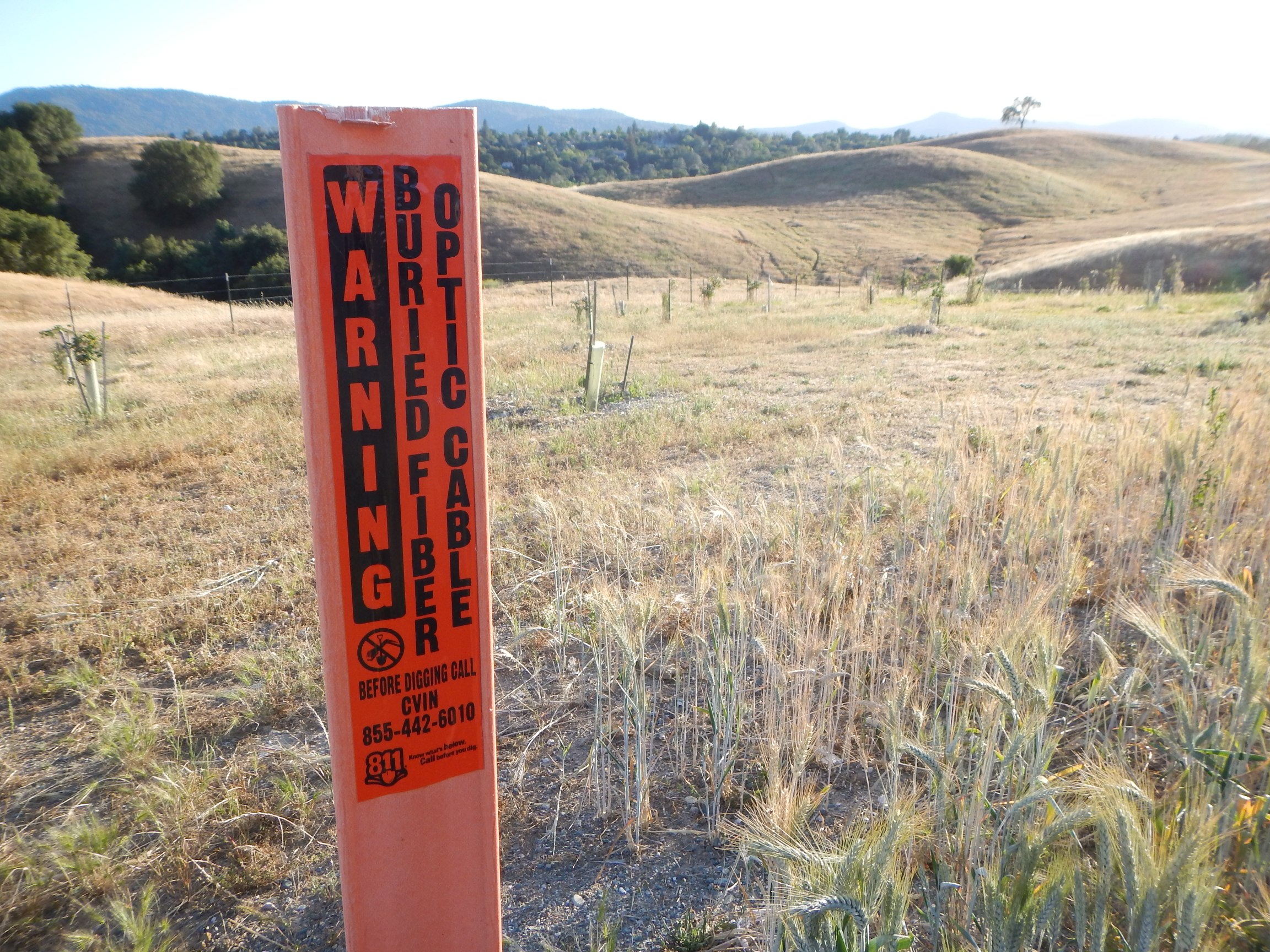
CVIN marker

Progress Forgotten
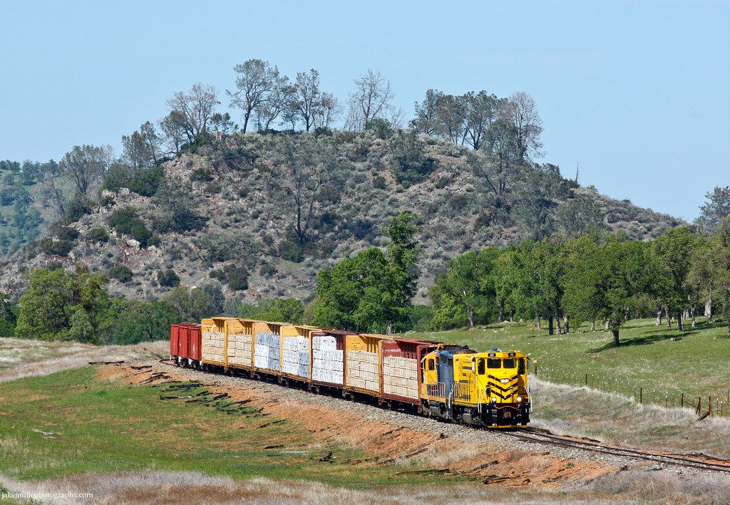
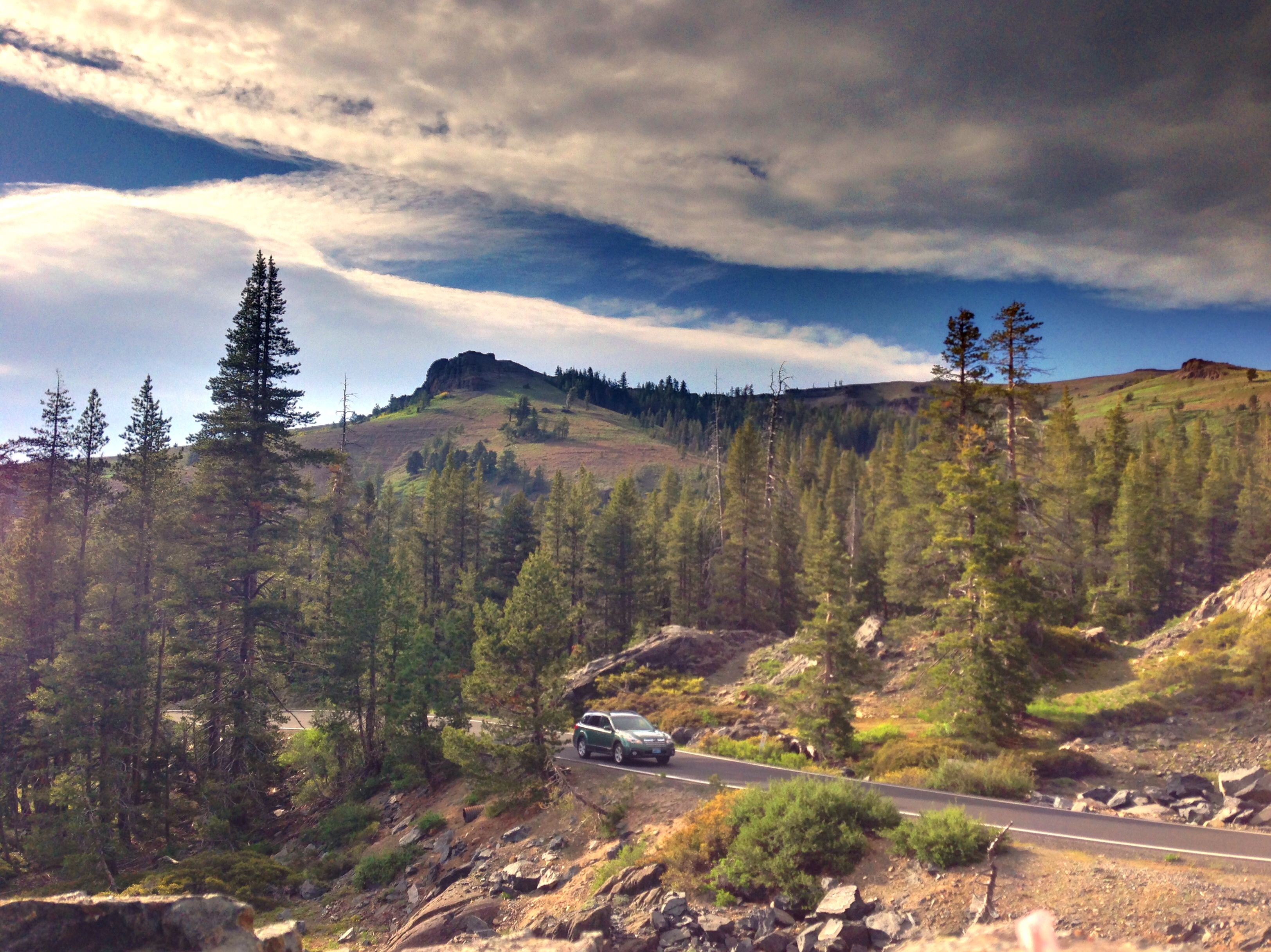
Sierra Northern Along Highway 108

And Then Came The Wind - Highway 49 Bridge Across New Melones Reservoir - Sierra Nevada Mountains, California
#yosemite #roadtrip #usa
Sunset from Marilyn's
New Melones Near the Parrots Ferry Bridge
California Retreet

Moaning Cavern Park

HPIM0164.jpg
#lake #roadtrip
HDR paints the world in surreal.
ATR20130217-1536-084

Former Site of Jacksonville, CA
2012-01-16 10.26.14
Southwestern Landscape
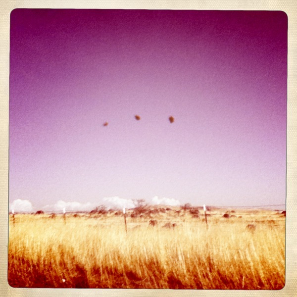
They Are Far Away
leaving angels camp
California highway
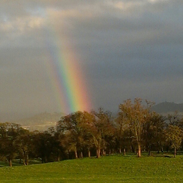
A Rainbow for you.

Moaning Cavern Park
Topographic Map of Peppermint Cir, Jamestown, CA, USA
Find elevation by address:

Places near Peppermint Cir, Jamestown, CA, USA:
19779 Rawhide Rd
20106 Jamestown Rd
9483 Ca-49
20222 Stanislaus Ct
9655 Poppy Hills Dr
Gibbs Dr, Sonora, CA, USA
10973 Belmont Dr
20127 Leland Dr
21 Cottage Ct
West Stockton Street
8708 Wilcox Ranch Rd
South Forest Road
248 Arbona Cir S
709 Arbona Cir N
36 Arbona Cir S
Tuttletown
10986 Mt Brow Rd
Mt Brow Rd, Sonora, CA, USA
61 Snell St
Uncle Toms Dr, Sonora, CA, USA
Recent Searches:
- Elevation of Corso Fratelli Cairoli, 35, Macerata MC, Italy
- Elevation of Tallevast Rd, Sarasota, FL, USA
- Elevation of 4th St E, Sonoma, CA, USA
- Elevation of Black Hollow Rd, Pennsdale, PA, USA
- Elevation of Oakland Ave, Williamsport, PA, USA
- Elevation of Pedrógão Grande, Portugal
- Elevation of Klee Dr, Martinsburg, WV, USA
- Elevation of Via Roma, Pieranica CR, Italy
- Elevation of Tavkvetili Mountain, Georgia
- Elevation of Hartfords Bluff Cir, Mt Pleasant, SC, USA