Elevation of Mt Brow Rd, Sonora, CA, USA
Location: United States > California > Tuolumne County > Sonora >
Longitude: -120.40866
Latitude: 38.0072365
Elevation: 631m / 2070feet
Barometric Pressure: 94KPa
Elevation Map:
Satellite Map:
Related Photos:

Spring here we come.
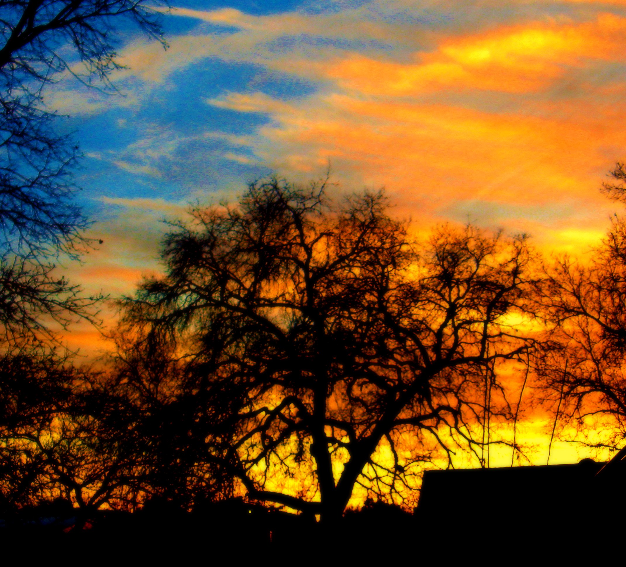
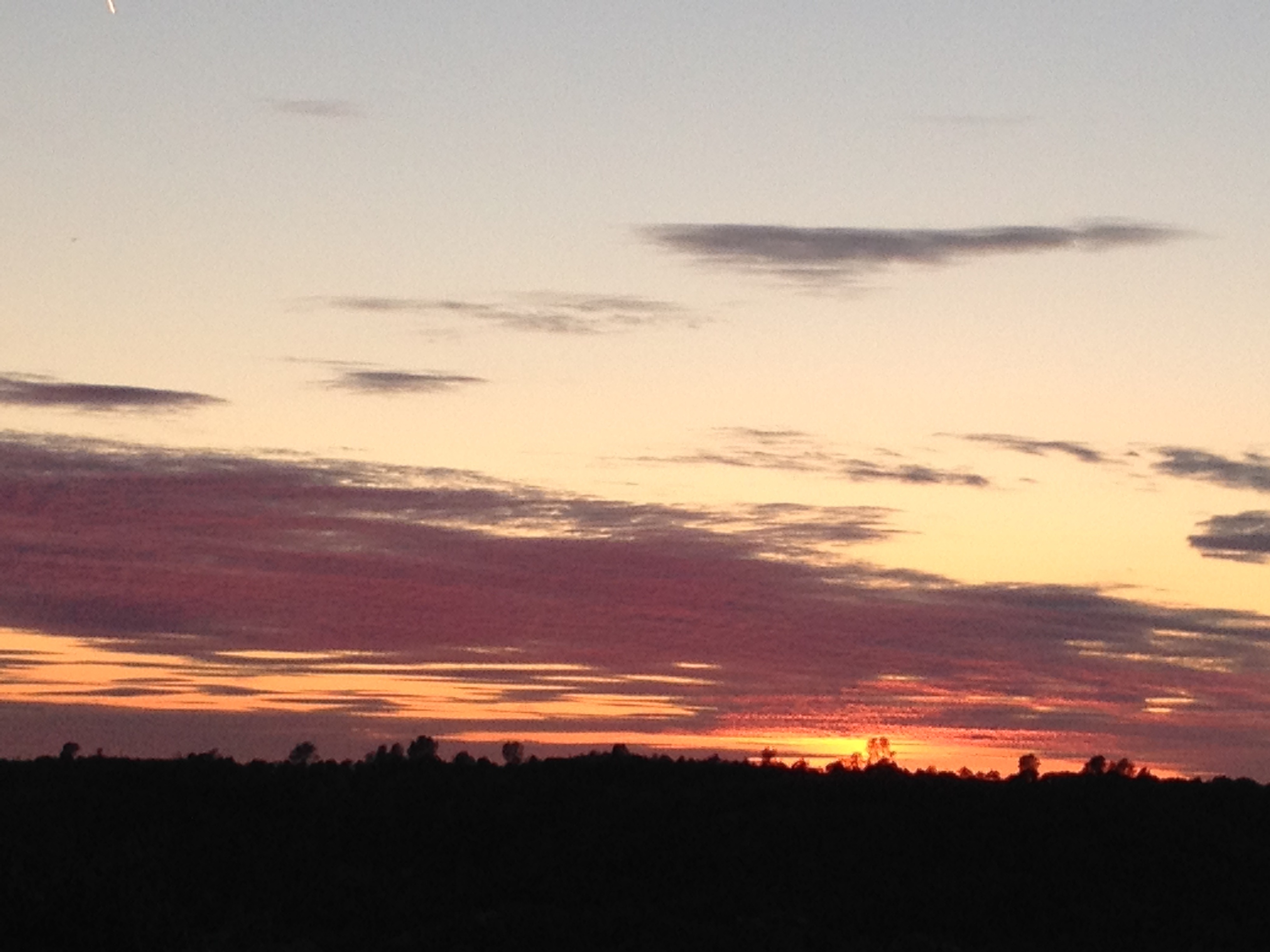
A sunset in February

The Poppies Have Arrived!

Hover Fly
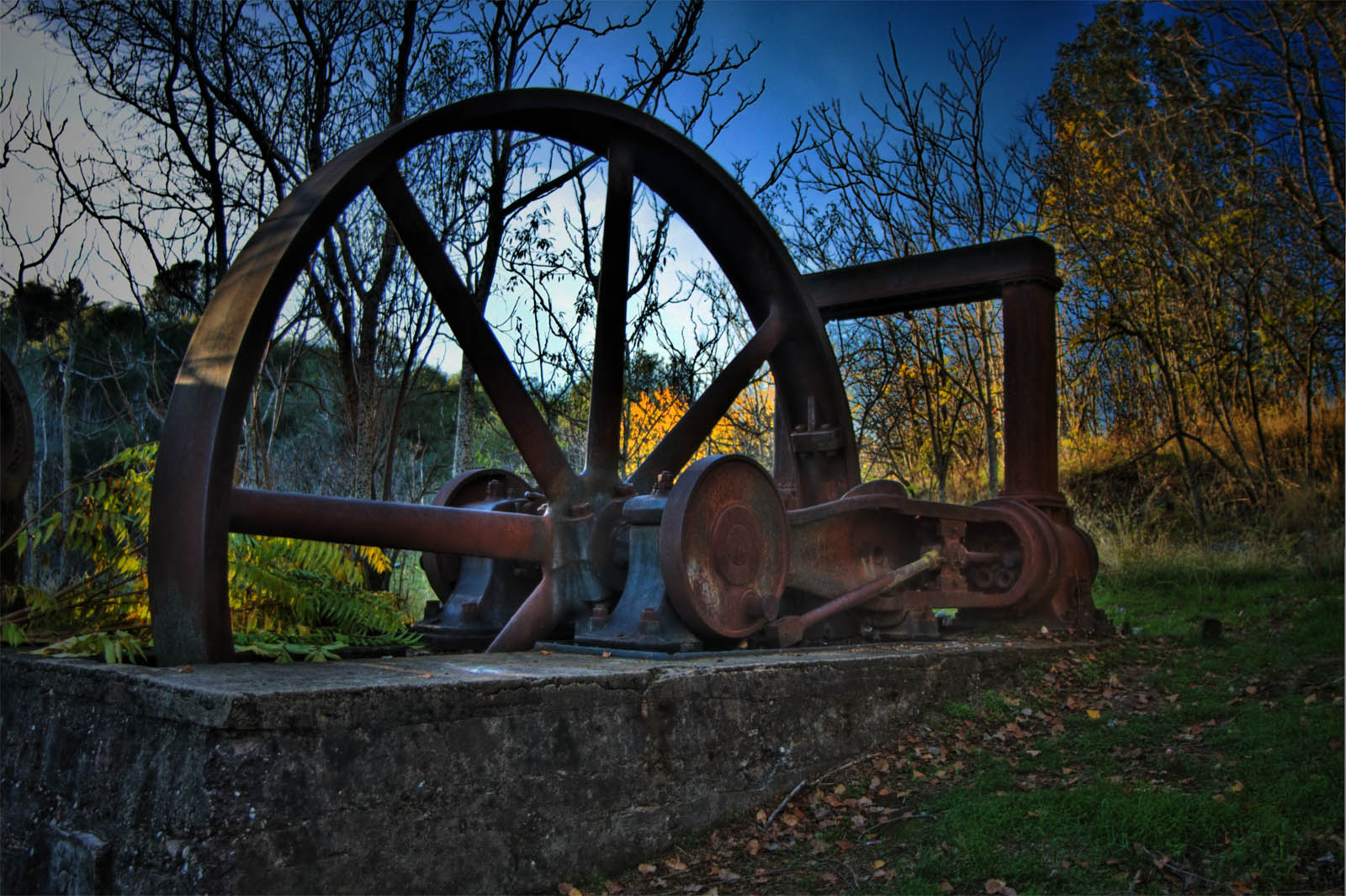
Utica Wheel

What the heck is it.
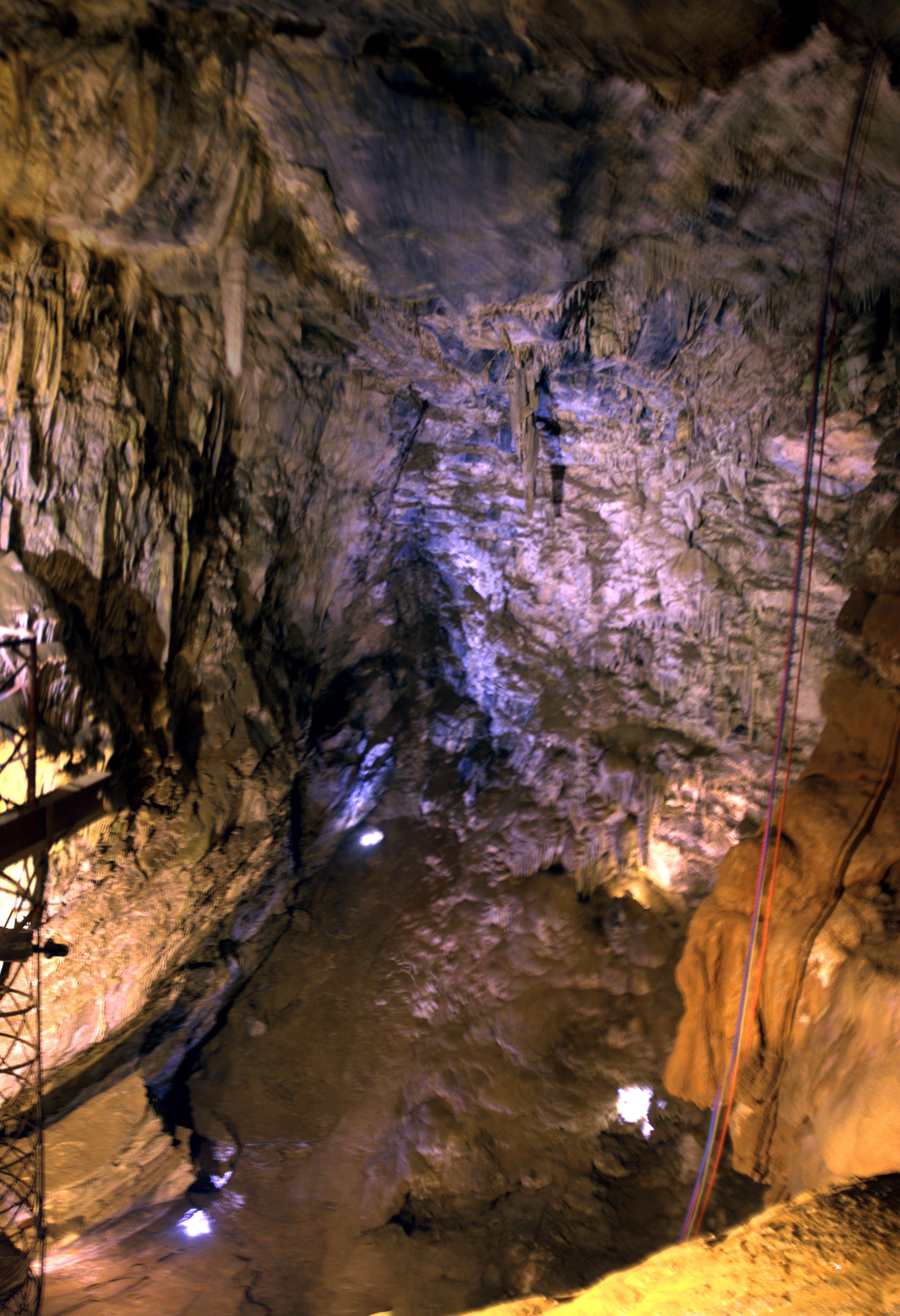
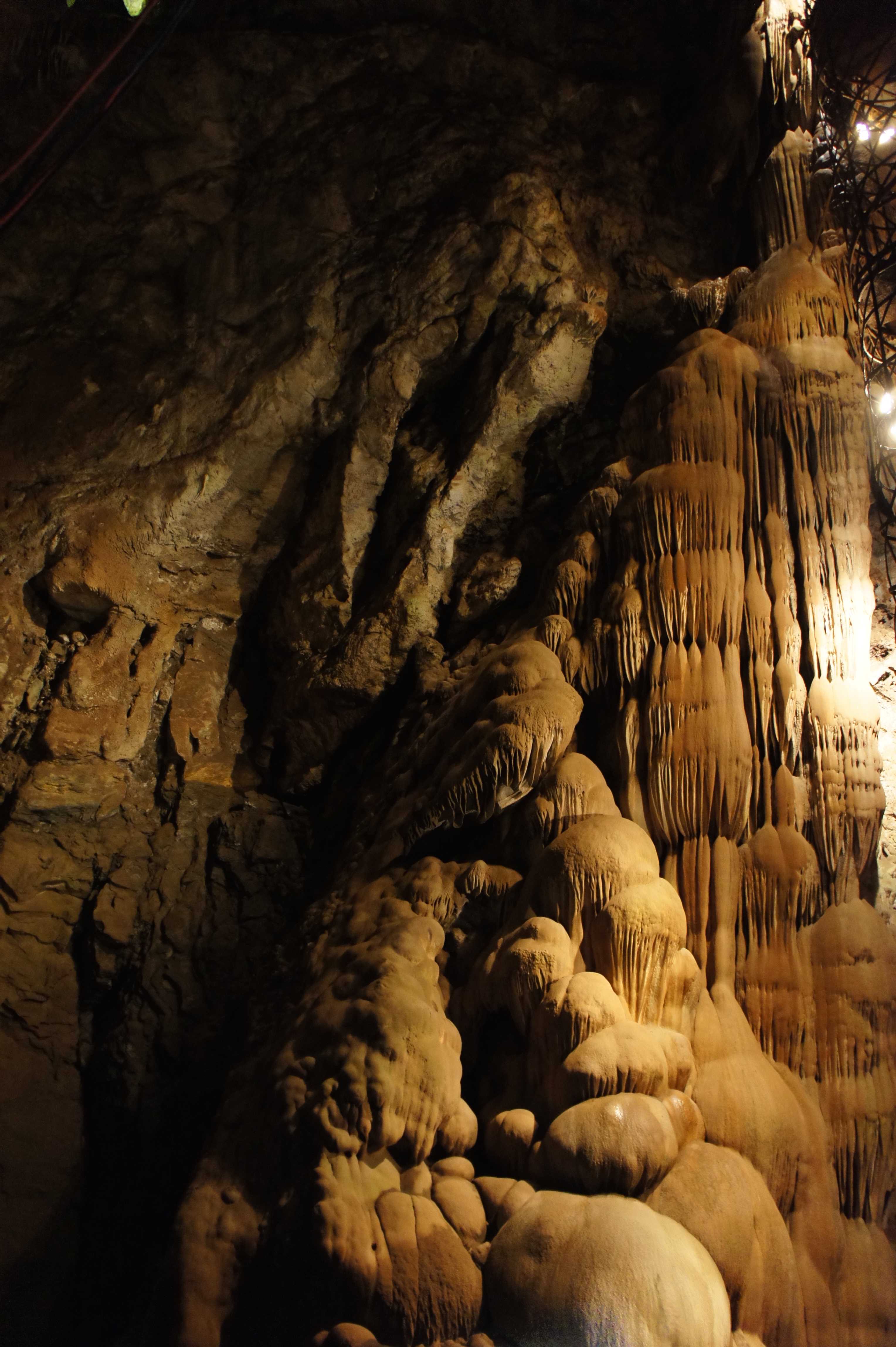
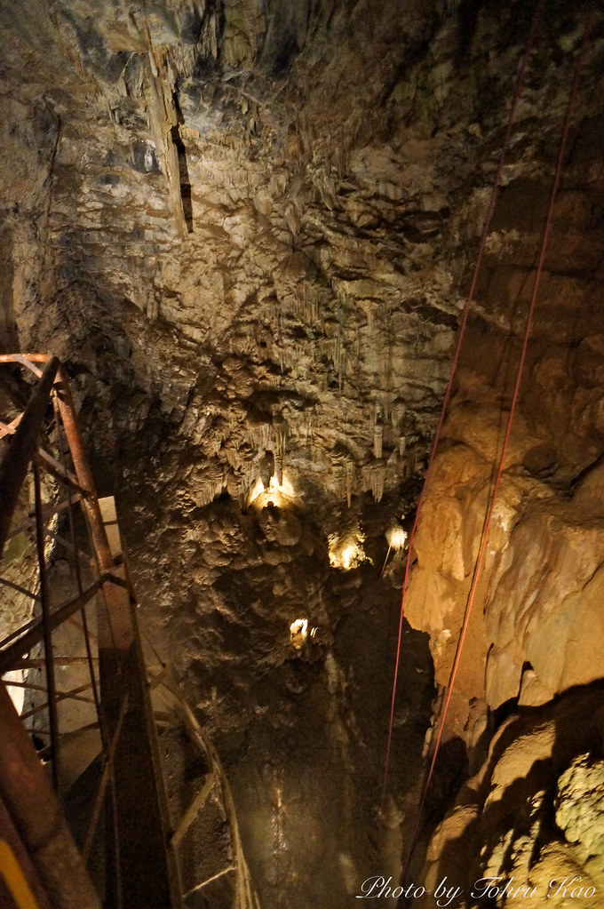
Moaning Cave Main Chamber 1

Twin Tulips

Love is in the air.

A pink rose for all my flickr friends.

Progress Forgotten
The aroma is definitely in the air
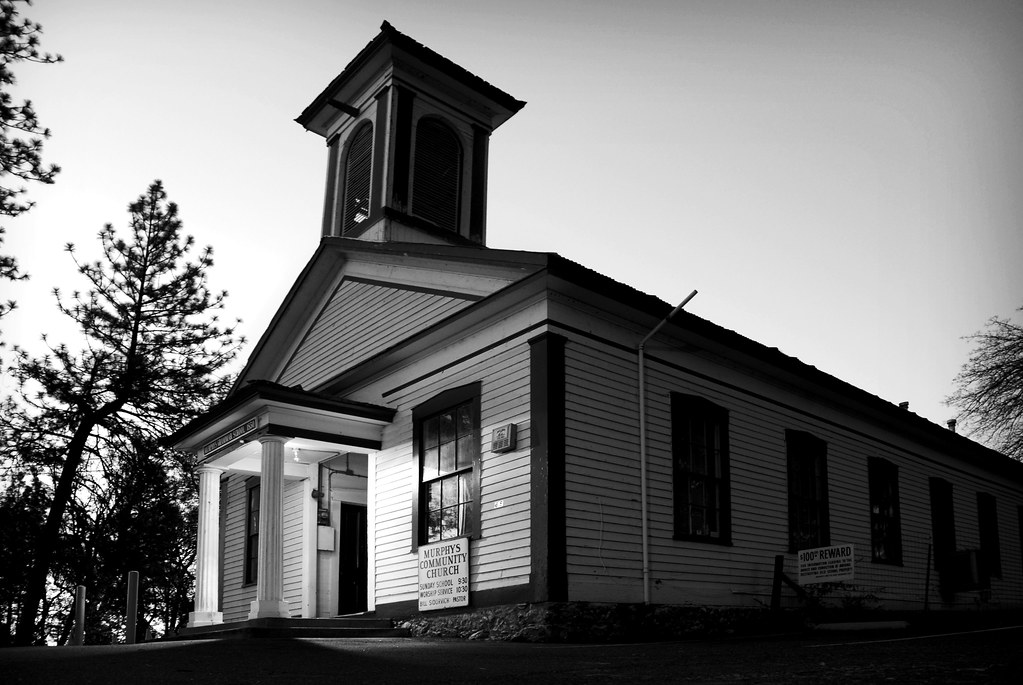
murphys grammar school
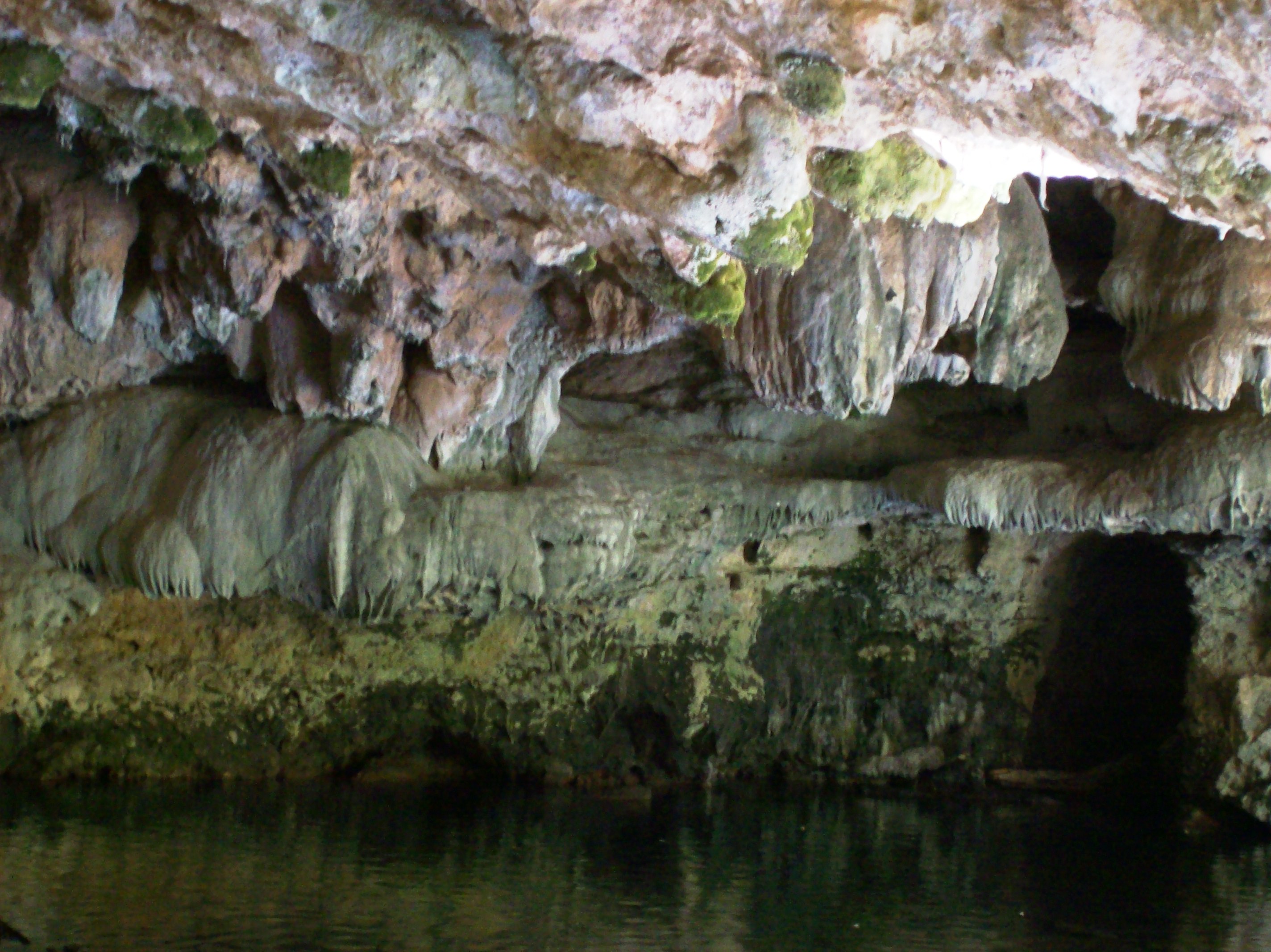
Stalagtites in the open-air entrance to the Natural Bridge at Calaveras County, CA - natural16
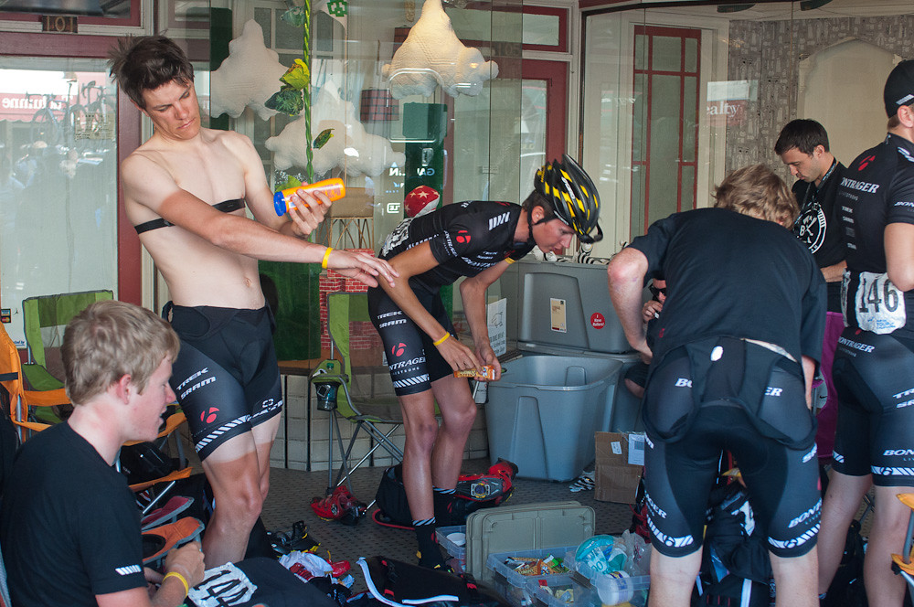
Bontrager Livestrong race preparation
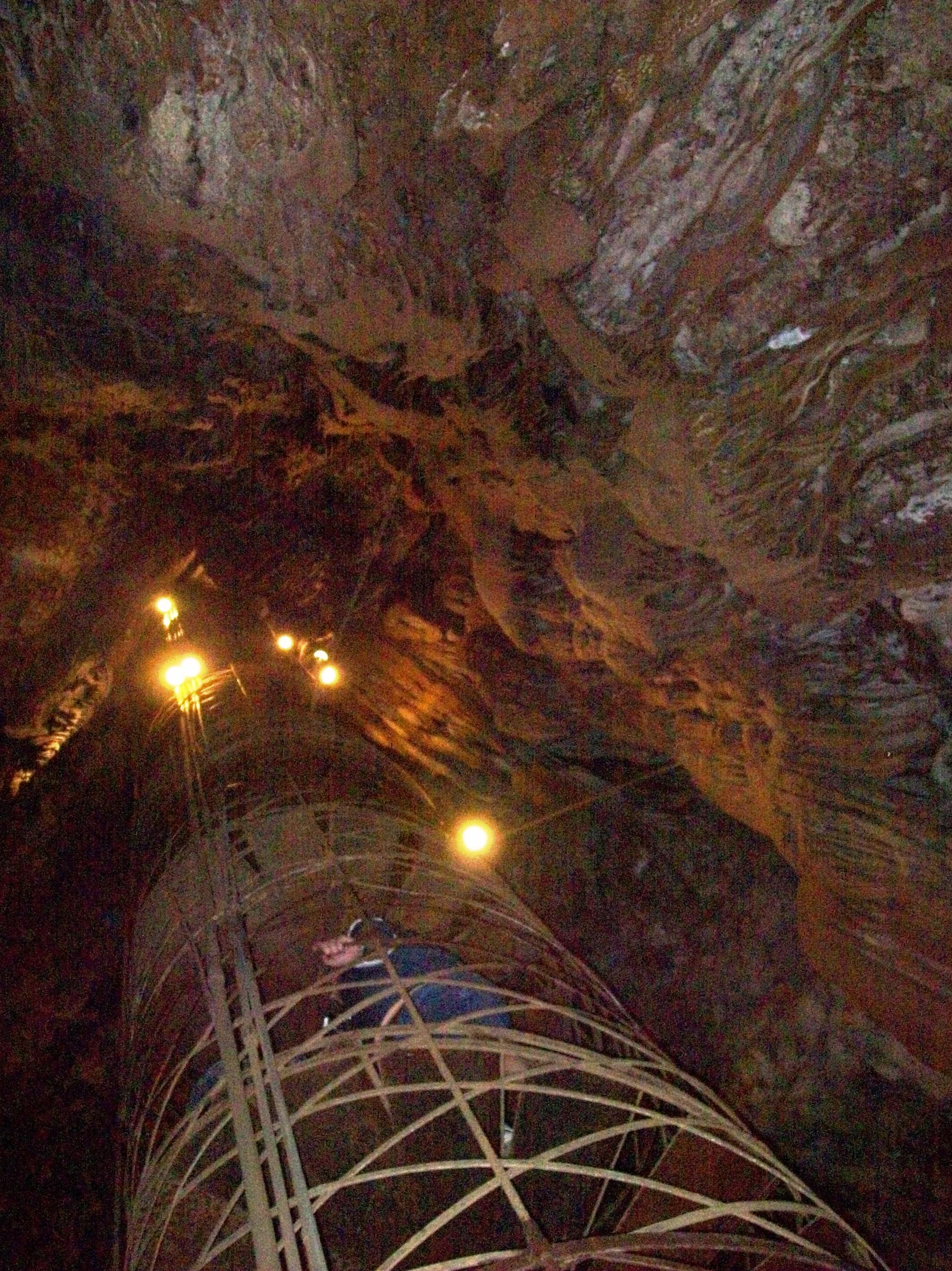
View up the spiral staircase leading to the bottom of Moaning Cavern, CA - moaning16

Best When Unexpected

Female Snakefly

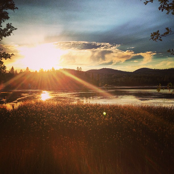
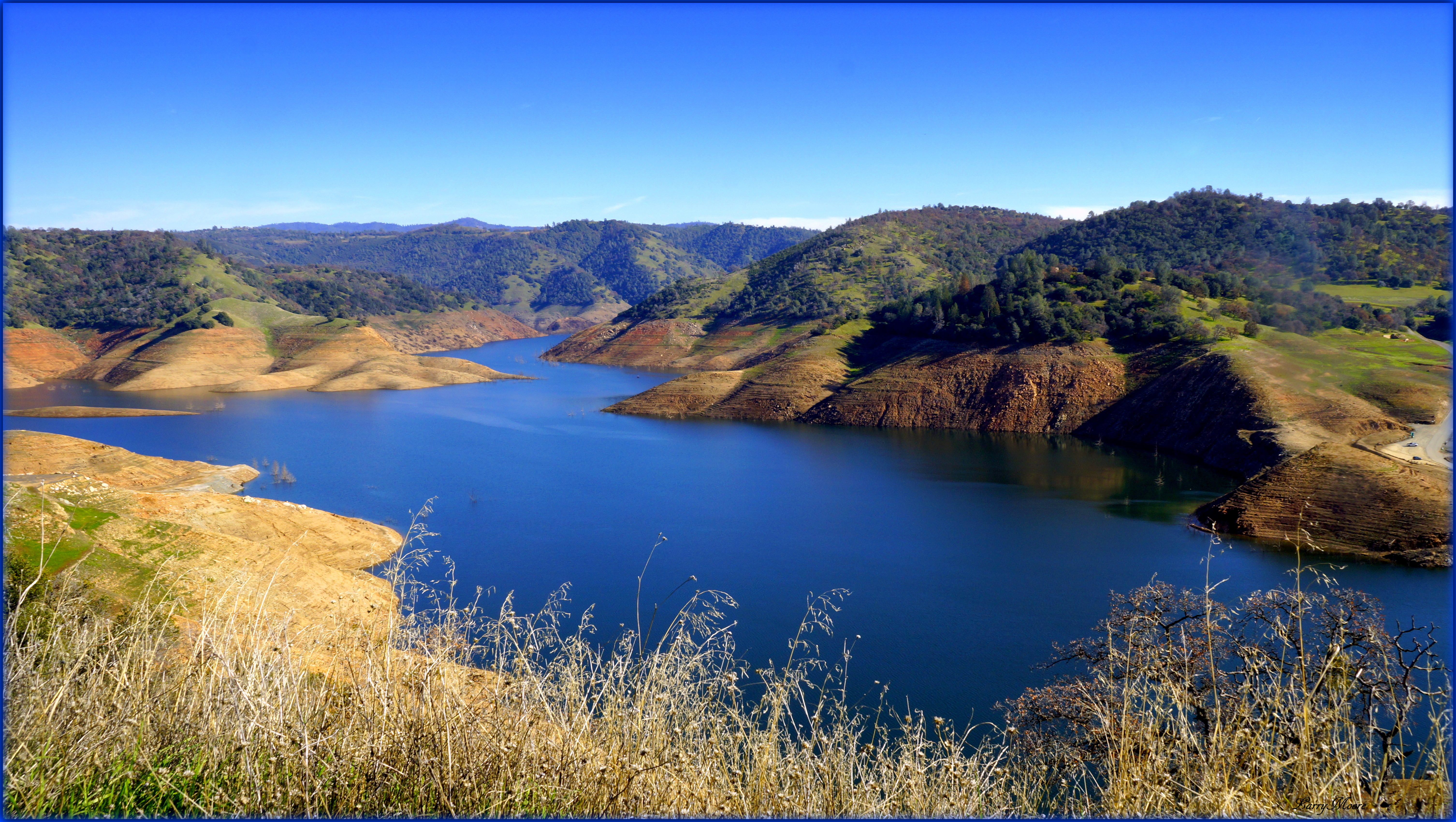
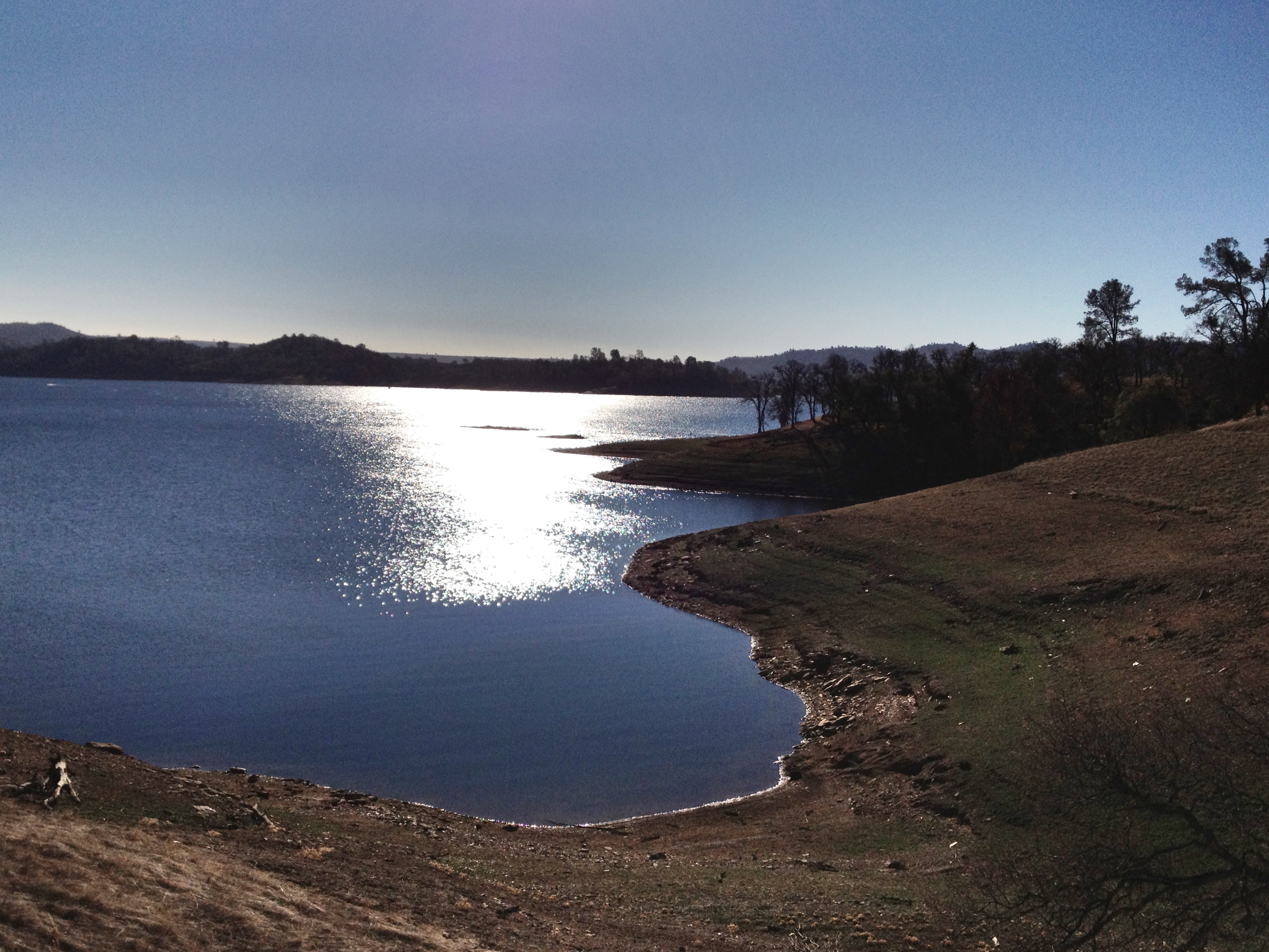
Lake Views
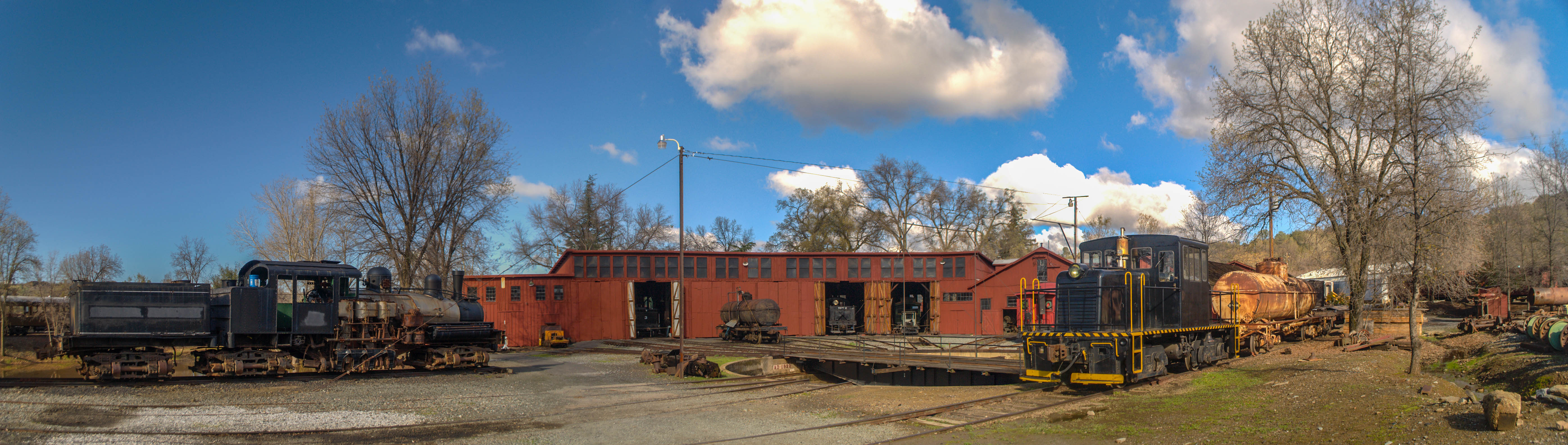
Sierra Railway Roundhouse (Panorama)
A Room with a view.

Thank You Julie (Julev69) Explored
#yosemite #roadtrip #usa
Sunset from Marilyn's
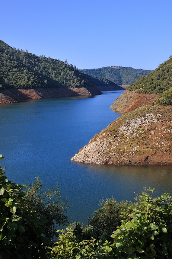
New Melones Near the Parrots Ferry Bridge

And Then Came The Wind - Highway 49 Bridge Across New Melones Reservoir - Sierra Nevada Mountains, California
California Retreet

Did you catch me, or not? We'll see, when you look at the crop!

Moaning Cavern Park

HPIM0164.jpg
HDR paints the world in surreal.
ATR20130217-1536-084
2012-01-16 10.26.14
leaving angels camp
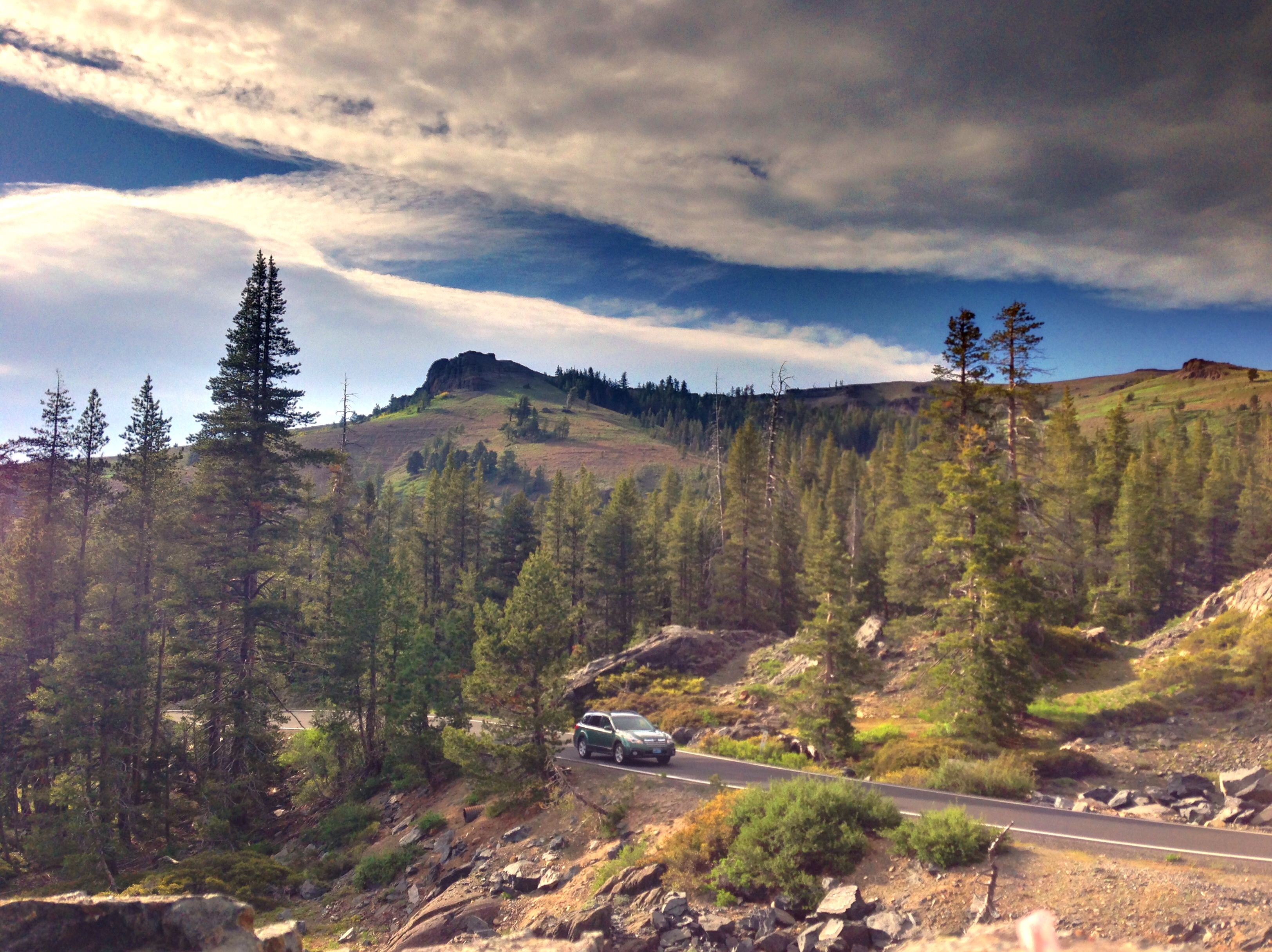
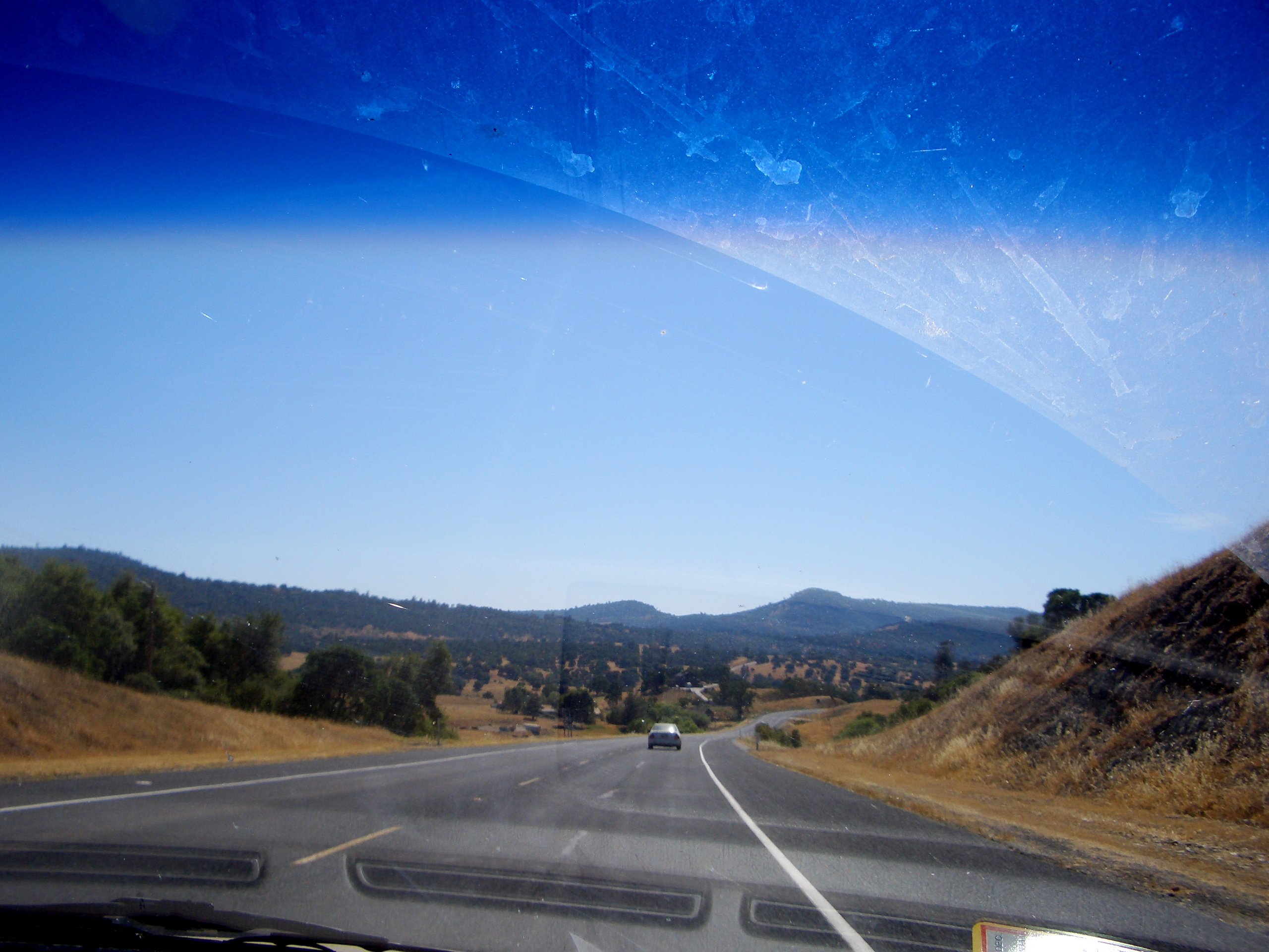
California highway
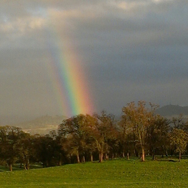
A Rainbow for you.

Moaning Cavern Park
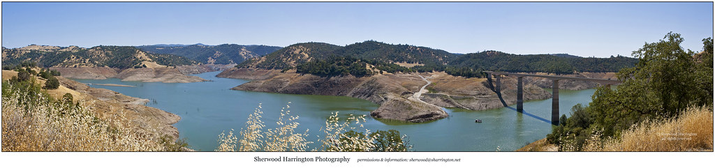
Upper New Melones Lake at Very Low Water
Moaning Cavern Park
Topographic Map of Mt Brow Rd, Sonora, CA, USA
Find elevation by address:

Places near Mt Brow Rd, Sonora, CA, USA:
10986 Mt Brow Rd
10973 Belmont Dr
20905 Uncle Toms Dr
Uncle Toms Dr, Sonora, CA, USA
Gibbs Dr, Sonora, CA, USA
1292 Shaws Flat Rd
20127 Leland Dr
100 Preston Pl
11905 Ca-49
709 Arbona Cir N
Hwy 49 - Day Reporting Center
181 Elk Dr
36 Arbona Cir S
248 Arbona Cir S
Portuguese Gulch
11988 Ca-49
61 Snell St
South Forest Road
21 Cottage Ct
128 S Green St
Recent Searches:
- Elevation of Corso Fratelli Cairoli, 35, Macerata MC, Italy
- Elevation of Tallevast Rd, Sarasota, FL, USA
- Elevation of 4th St E, Sonoma, CA, USA
- Elevation of Black Hollow Rd, Pennsdale, PA, USA
- Elevation of Oakland Ave, Williamsport, PA, USA
- Elevation of Pedrógão Grande, Portugal
- Elevation of Klee Dr, Martinsburg, WV, USA
- Elevation of Via Roma, Pieranica CR, Italy
- Elevation of Tavkvetili Mountain, Georgia
- Elevation of Hartfords Bluff Cir, Mt Pleasant, SC, USA