Elevation of Pawnee Cv, Bath Springs, TN, USA
Location: United States > Tennessee > Decatur County > Bath Springs >
Longitude: -88.045255
Latitude: 35.449377
Elevation: 127m / 417feet
Barometric Pressure: 100KPa
Elevation Map:
Satellite Map:
Related Photos:

Halford's Gro.
Old docks from the Clifton Ferry

Inspirational Series - The Path of Life.

Steel Nosed Mack - HTT!

Halford Gro.
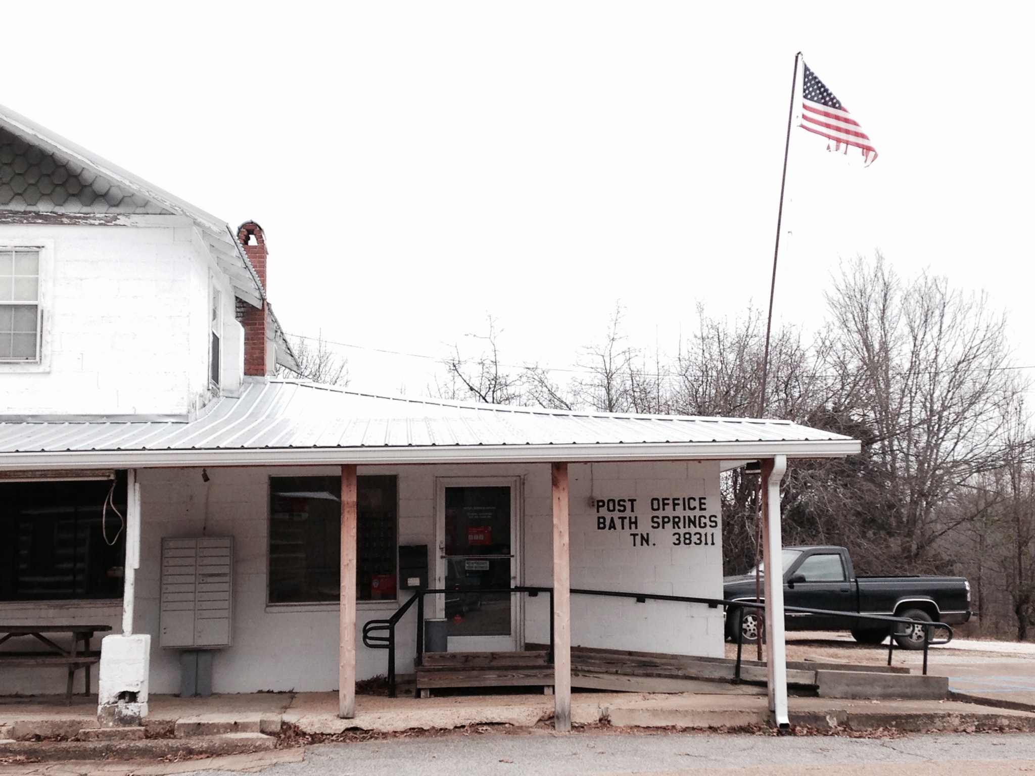
USPS - Bath Springs, TN

USPS - Bath Springs, TN

Halford's Grocery

DSCF8843.jpg

DSCF8839.jpg
FullSizeRender 196
FullSizeRender 197

FullSizeRender 205

USPS - Clifton, TN

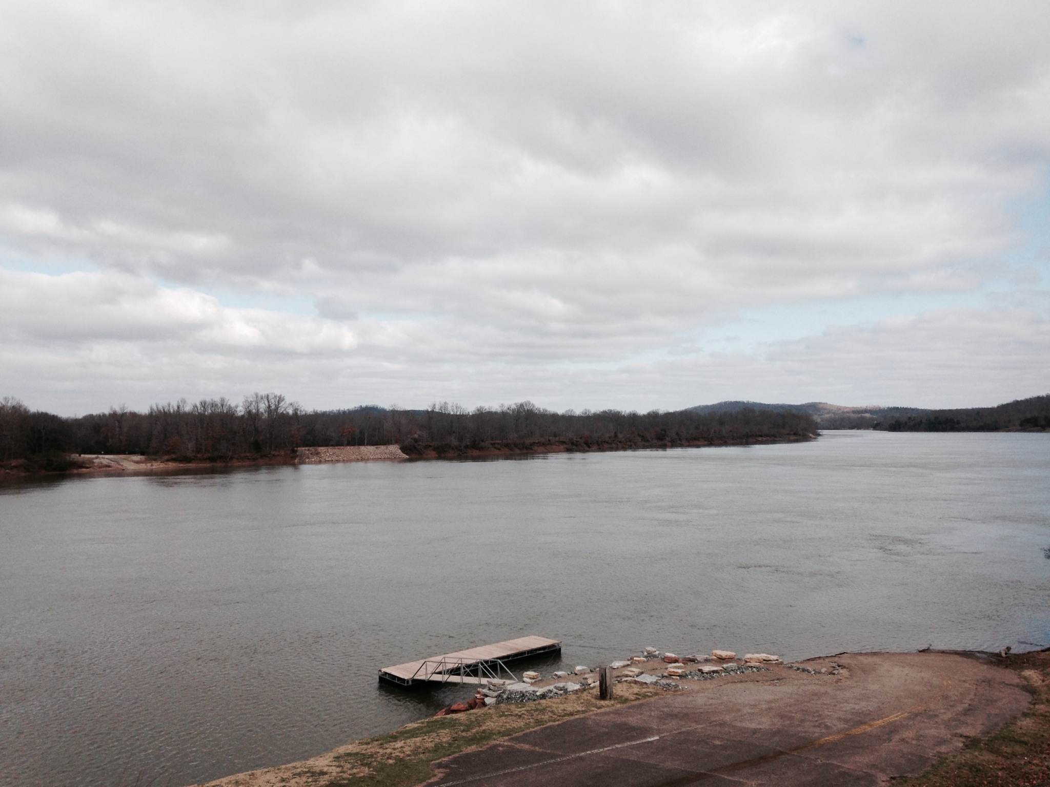
Tennessee River

Welcome Bath & Star!

Dunbar Store Landmark
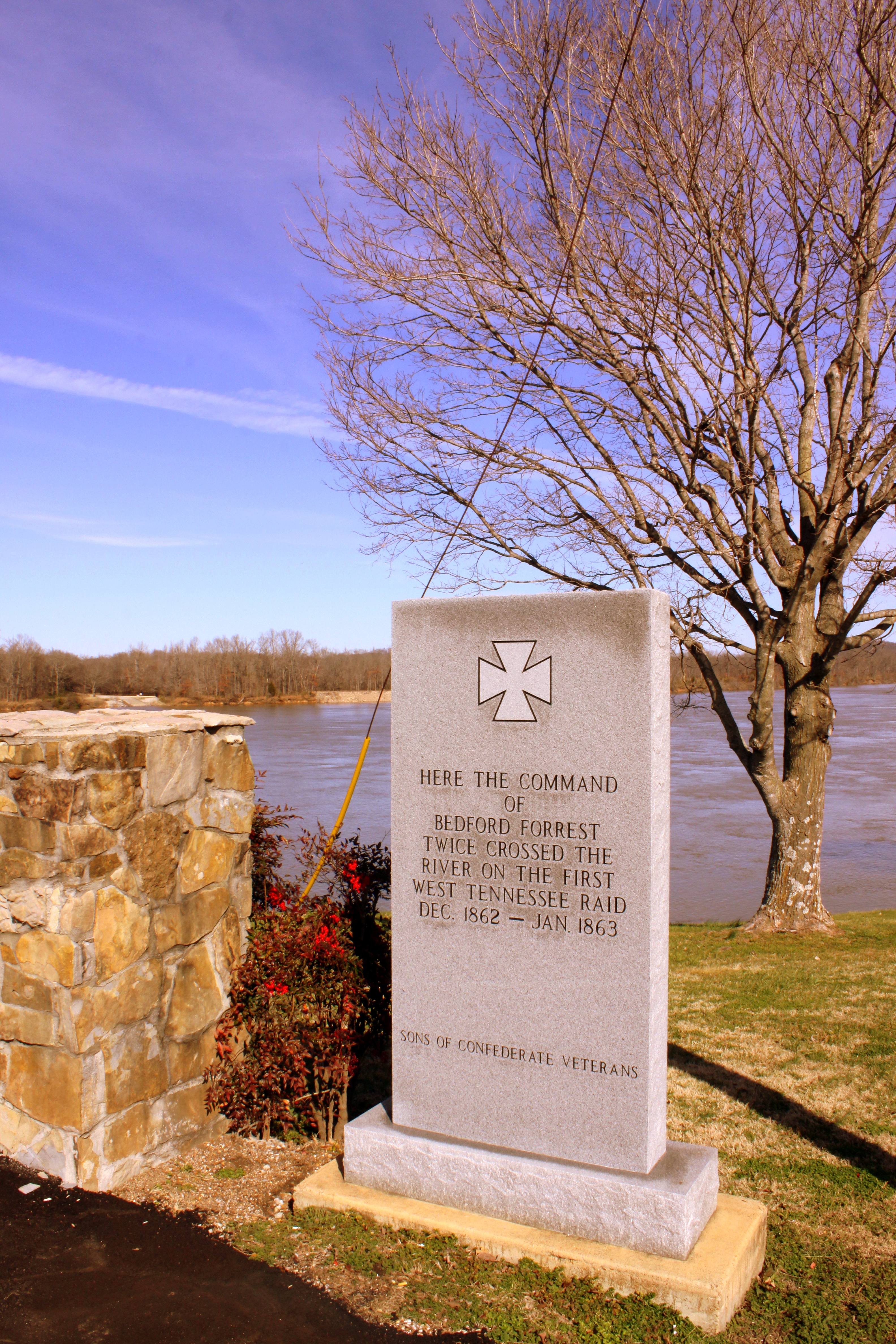
Where Forrest Crossed the Tennessee River

Neat house - Clifton, TN
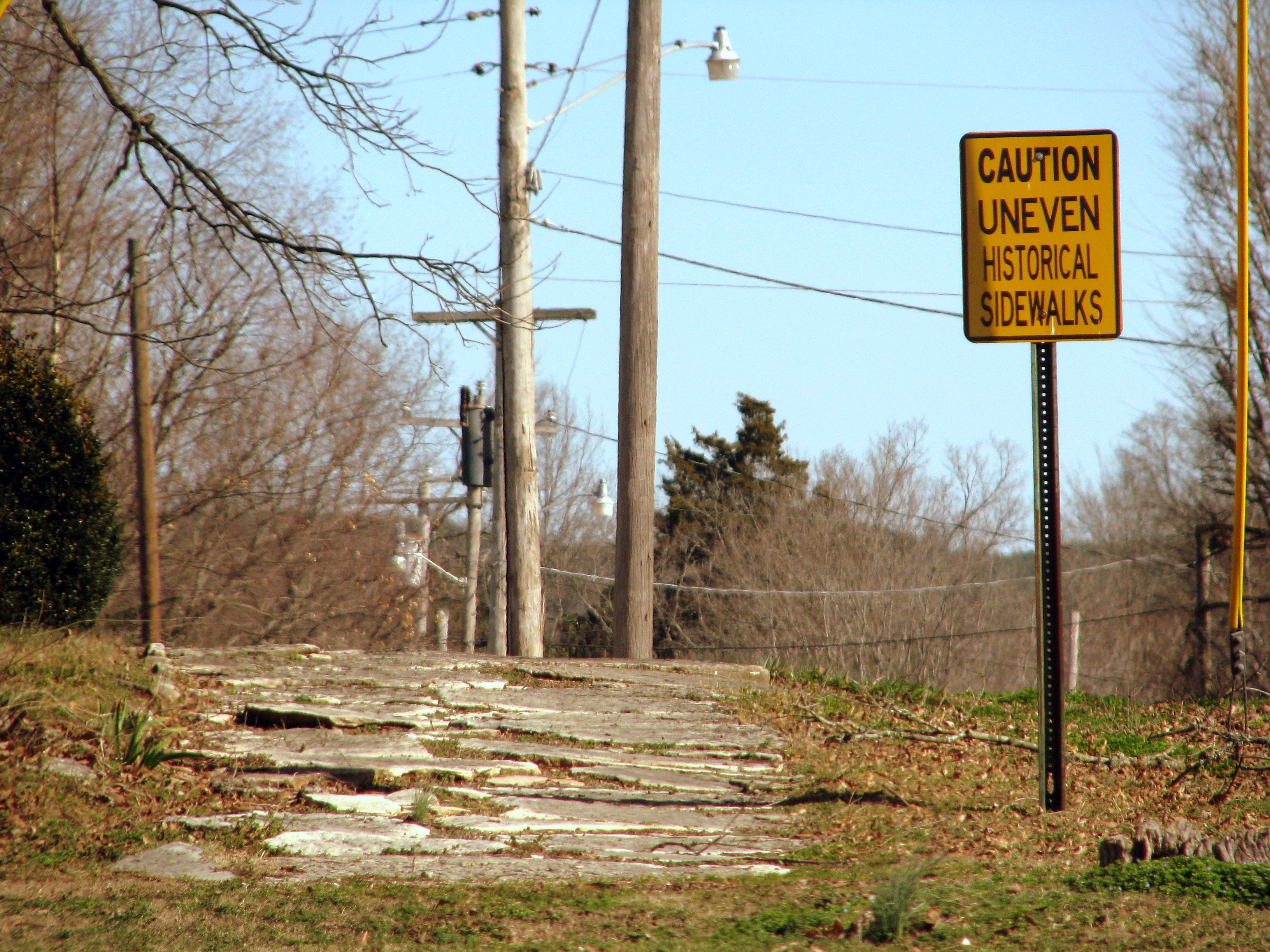
Caution Uneven Historical Sidewalks

Clifton First Presbyterian Church

white's creek sunset
Topographic Map of Pawnee Cv, Bath Springs, TN, USA
Find elevation by address:

Places near Pawnee Cv, Bath Springs, TN, USA:
100 Cherokee Ln
Sioux Drive
Kaw-liga Lane
Eagle Nest Landing
Bob's Landing Road
48 Adam Loop
Bath Springs
109 Tn River Estates Rd
Scenic Ln, Bath Springs, TN, USA
950 Scenic Ln
5897 Tn-69
Clifton
Vine Street
301 E Water St
305 E Water St
309 E Water St
308 E Water St
401 E Water St
East Water Street
271 Creekside View Ln
Recent Searches:
- Elevation of Corso Fratelli Cairoli, 35, Macerata MC, Italy
- Elevation of Tallevast Rd, Sarasota, FL, USA
- Elevation of 4th St E, Sonoma, CA, USA
- Elevation of Black Hollow Rd, Pennsdale, PA, USA
- Elevation of Oakland Ave, Williamsport, PA, USA
- Elevation of Pedrógão Grande, Portugal
- Elevation of Klee Dr, Martinsburg, WV, USA
- Elevation of Via Roma, Pieranica CR, Italy
- Elevation of Tavkvetili Mountain, Georgia
- Elevation of Hartfords Bluff Cir, Mt Pleasant, SC, USA