Elevation of E Water St, Clifton, TN, USA
Location: United States > Tennessee > Wayne County > Clifton >
Longitude: -87.991784
Latitude: 35.387989
Elevation: 118m / 387feet
Barometric Pressure: 100KPa
Elevation Map:
Satellite Map:
Related Photos:

Halford's Gro.
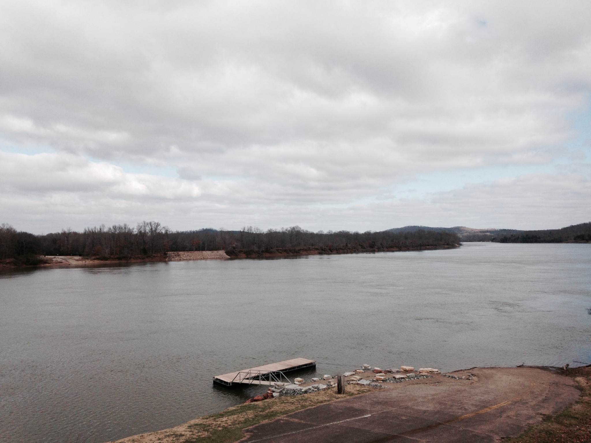
Old docks from the Clifton Ferry

Steel Nosed Mack - HTT!
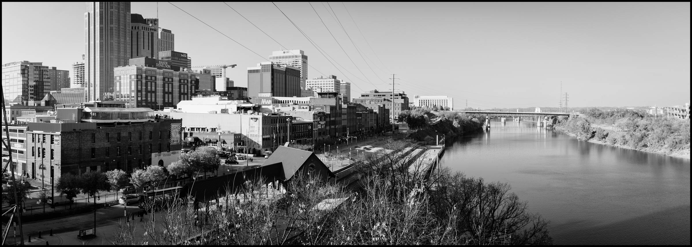
DSCF8848-Pano v1.jpg

DSCF8843.jpg

DSCF8839.jpg
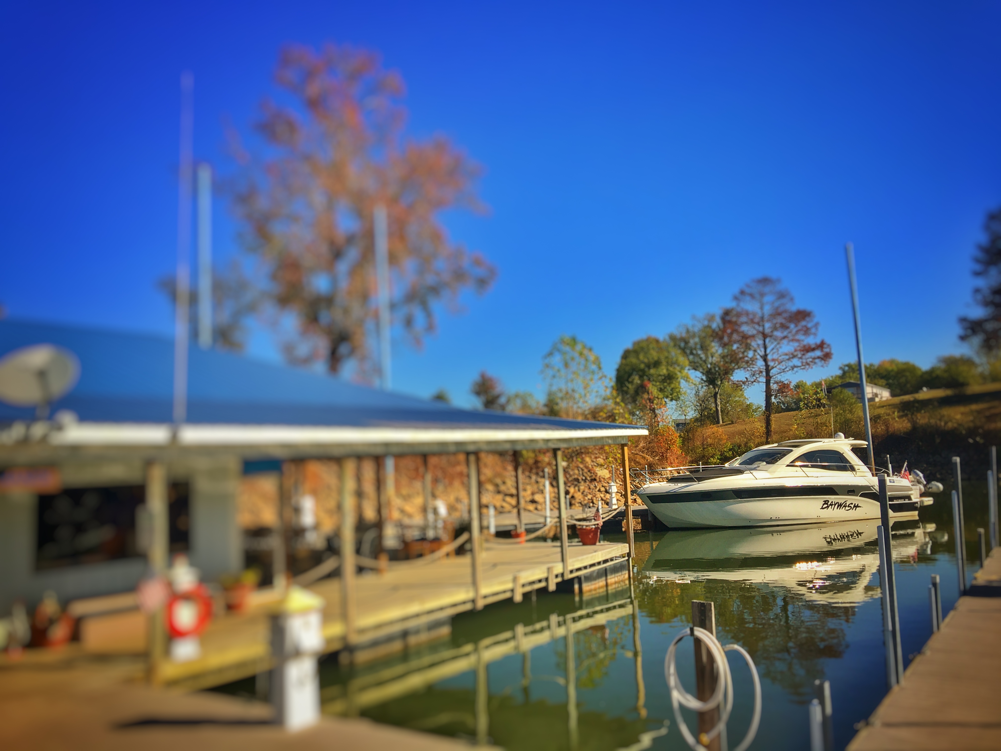
FullSizeRender 196
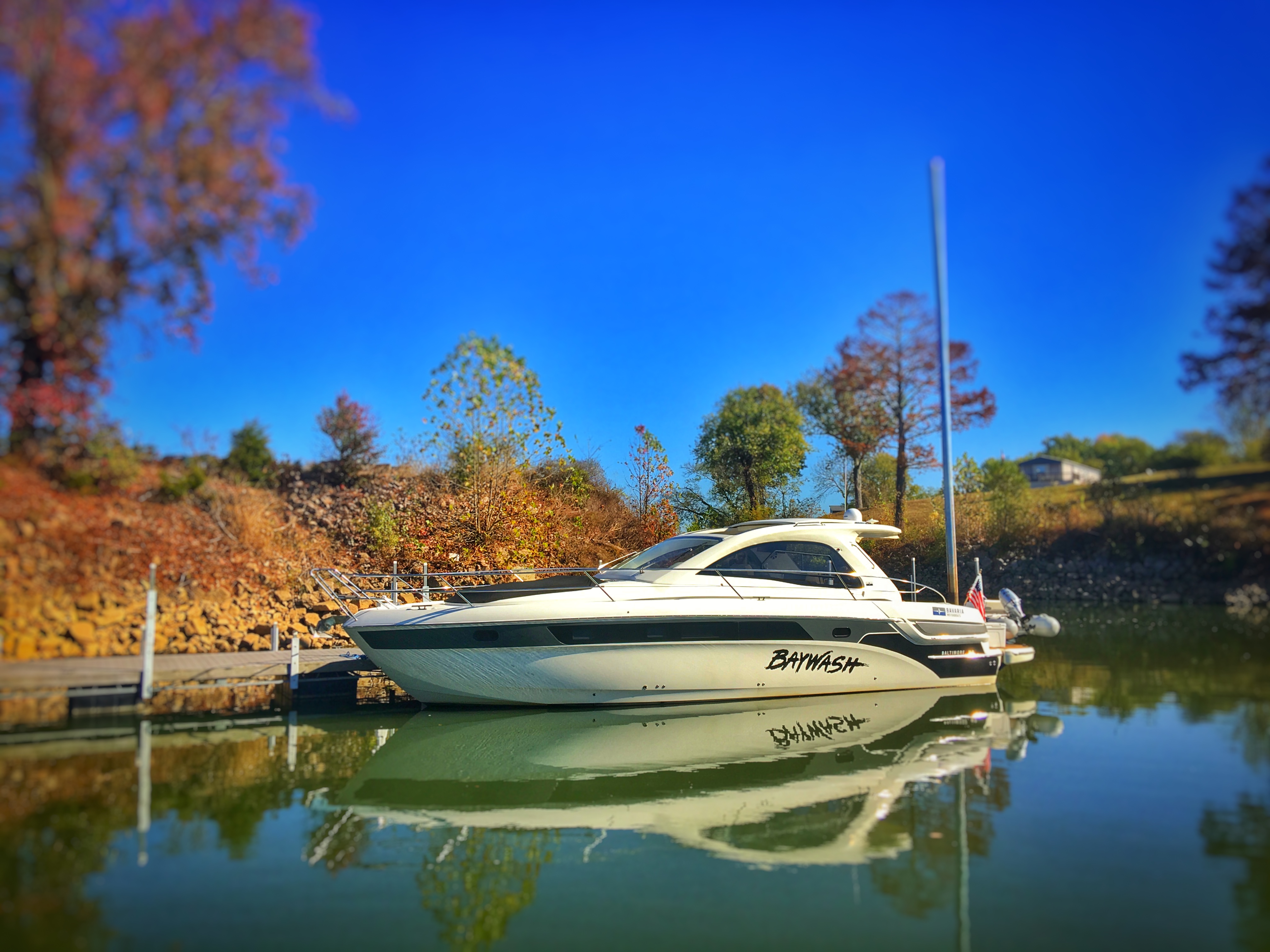
FullSizeRender 197
Topographic Map of E Water St, Clifton, TN, USA
Find elevation by address:

Places near E Water St, Clifton, TN, USA:
305 E Water St
309 E Water St
308 E Water St
401 E Water St
Clifton
East Water Street
Vine Street
555 Forrest Ave
950 Scenic Ln
Scenic Ln, Bath Springs, TN, USA
Linden Hwy, Clifton, TN, USA
109 Tn River Estates Rd
3116 Jeter Rd
169 Younger Cemetery Ln
48 Adam Loop
113 Pawnee Cv
100 Cherokee Ln
Eagle Nest Landing
Kaw-liga Lane
Sioux Drive
Recent Searches:
- Elevation of Corso Fratelli Cairoli, 35, Macerata MC, Italy
- Elevation of Tallevast Rd, Sarasota, FL, USA
- Elevation of 4th St E, Sonoma, CA, USA
- Elevation of Black Hollow Rd, Pennsdale, PA, USA
- Elevation of Oakland Ave, Williamsport, PA, USA
- Elevation of Pedrógão Grande, Portugal
- Elevation of Klee Dr, Martinsburg, WV, USA
- Elevation of Via Roma, Pieranica CR, Italy
- Elevation of Tavkvetili Mountain, Georgia
- Elevation of Hartfords Bluff Cir, Mt Pleasant, SC, USA