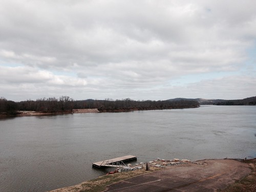
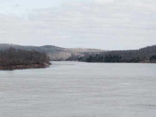
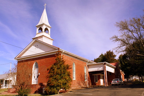
Elevation of Scenic Ln, Bath Springs, TN, USA
Location: United States > Tennessee > Decatur County > Bath Springs >
Longitude: -87.996165
Latitude: 35.4181314
Elevation: 117m / 384feet
Barometric Pressure: 100KPa
Related Photos:
Topographic Map of Scenic Ln, Bath Springs, TN, USA
Find elevation by address:

Places near Scenic Ln, Bath Springs, TN, USA:
950 Scenic Ln
109 Tn River Estates Rd
East Water Street
309 E Water St
305 E Water St
301 E Water St
Clifton
401 E Water St
308 E Water St
Linden Hwy, Clifton, TN, USA
Vine Street
48 Adam Loop
3116 Jeter Rd
555 Forrest Ave
113 Pawnee Cv
100 Cherokee Ln
Sioux Drive
Kaw-liga Lane
Eagle Nest Landing
169 Younger Cemetery Ln
Recent Searches:
- Elevation of Corso Fratelli Cairoli, 35, Macerata MC, Italy
- Elevation of Tallevast Rd, Sarasota, FL, USA
- Elevation of 4th St E, Sonoma, CA, USA
- Elevation of Black Hollow Rd, Pennsdale, PA, USA
- Elevation of Oakland Ave, Williamsport, PA, USA
- Elevation of Pedrógão Grande, Portugal
- Elevation of Klee Dr, Martinsburg, WV, USA
- Elevation of Via Roma, Pieranica CR, Italy
- Elevation of Tavkvetili Mountain, Georgia
- Elevation of Hartfords Bluff Cir, Mt Pleasant, SC, USA
