Elevation of 48 Adam Loop, Bath Springs, TN, USA
Location: United States > Tennessee > Decatur County > Bath Springs >
Longitude: -88.044313
Latitude: 35.4077823
Elevation: 135m / 443feet
Barometric Pressure: 100KPa
Elevation Map:
Satellite Map:
Related Photos:

Halford's Gro.

Old docks from the Clifton Ferry

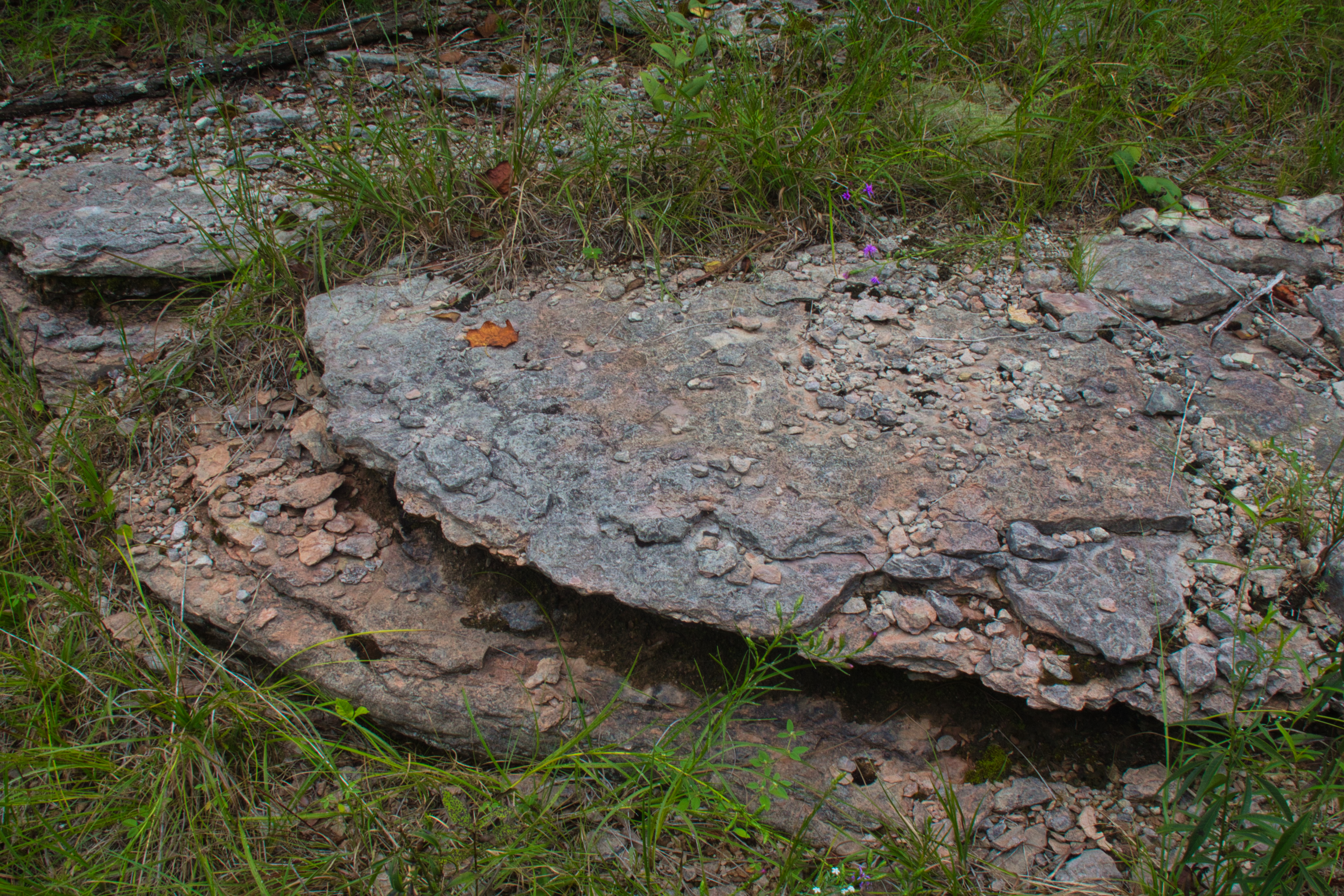
Carroll Cabin Barrens

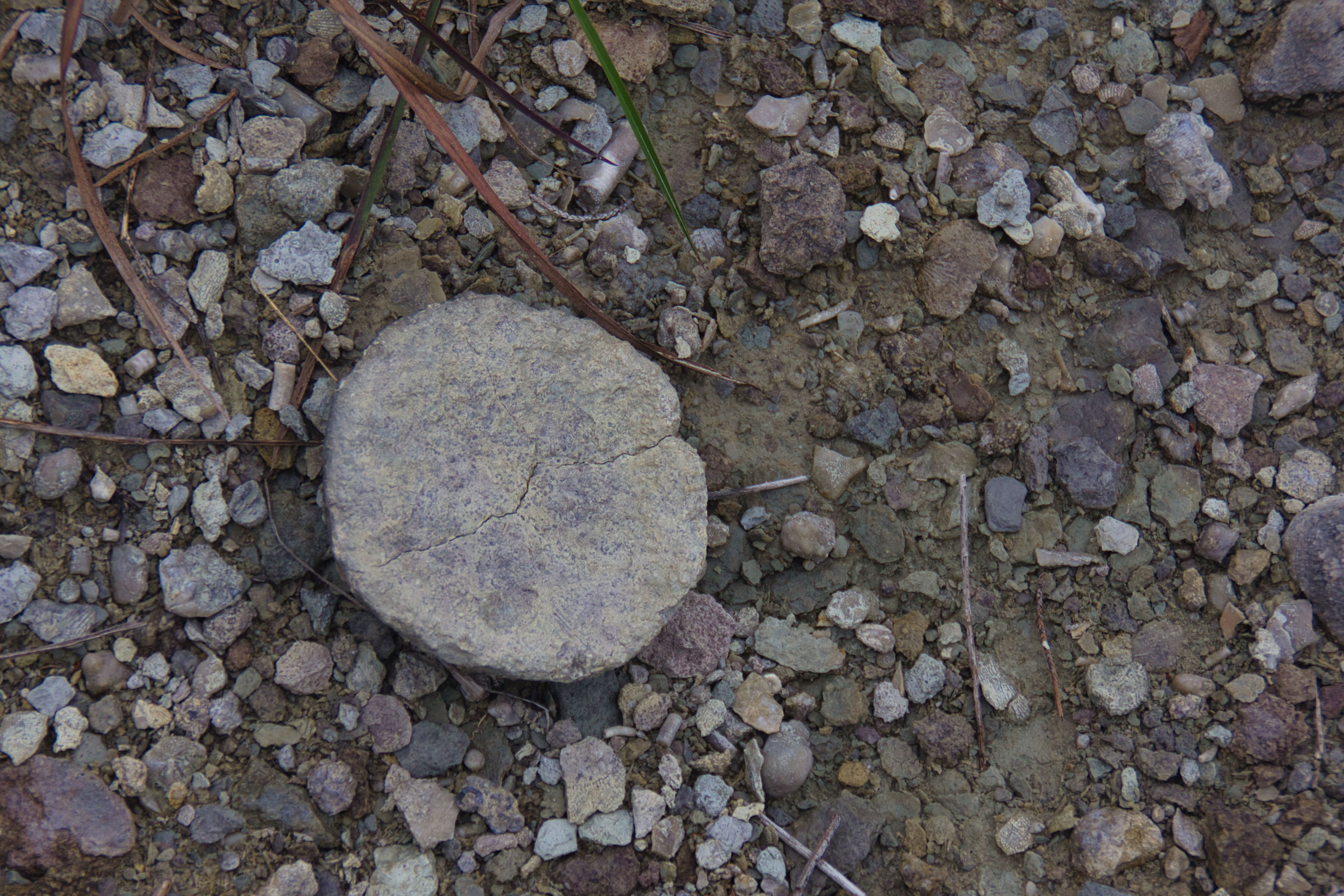
Carroll Cabin Barrens

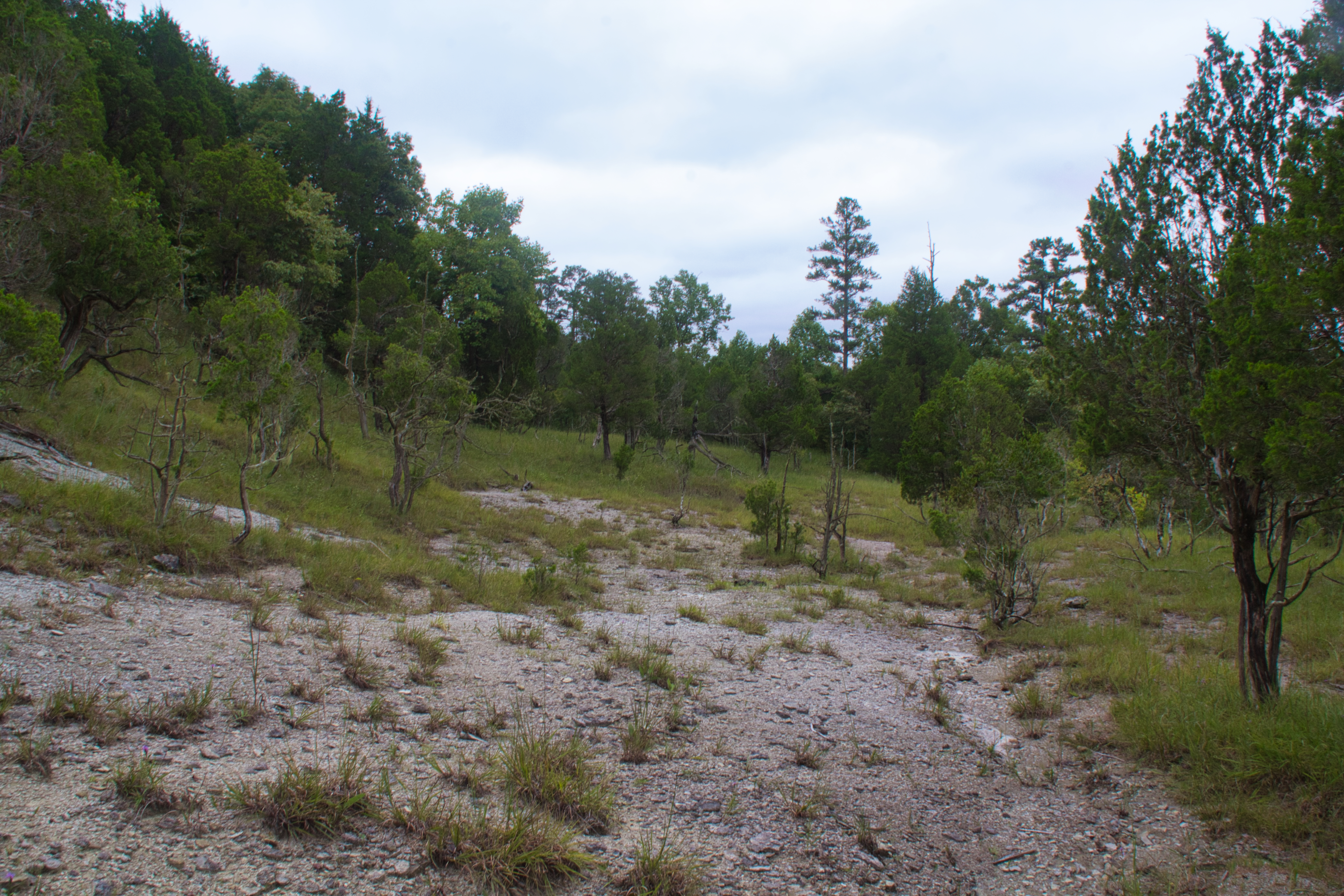
Carroll Cabin Barrens
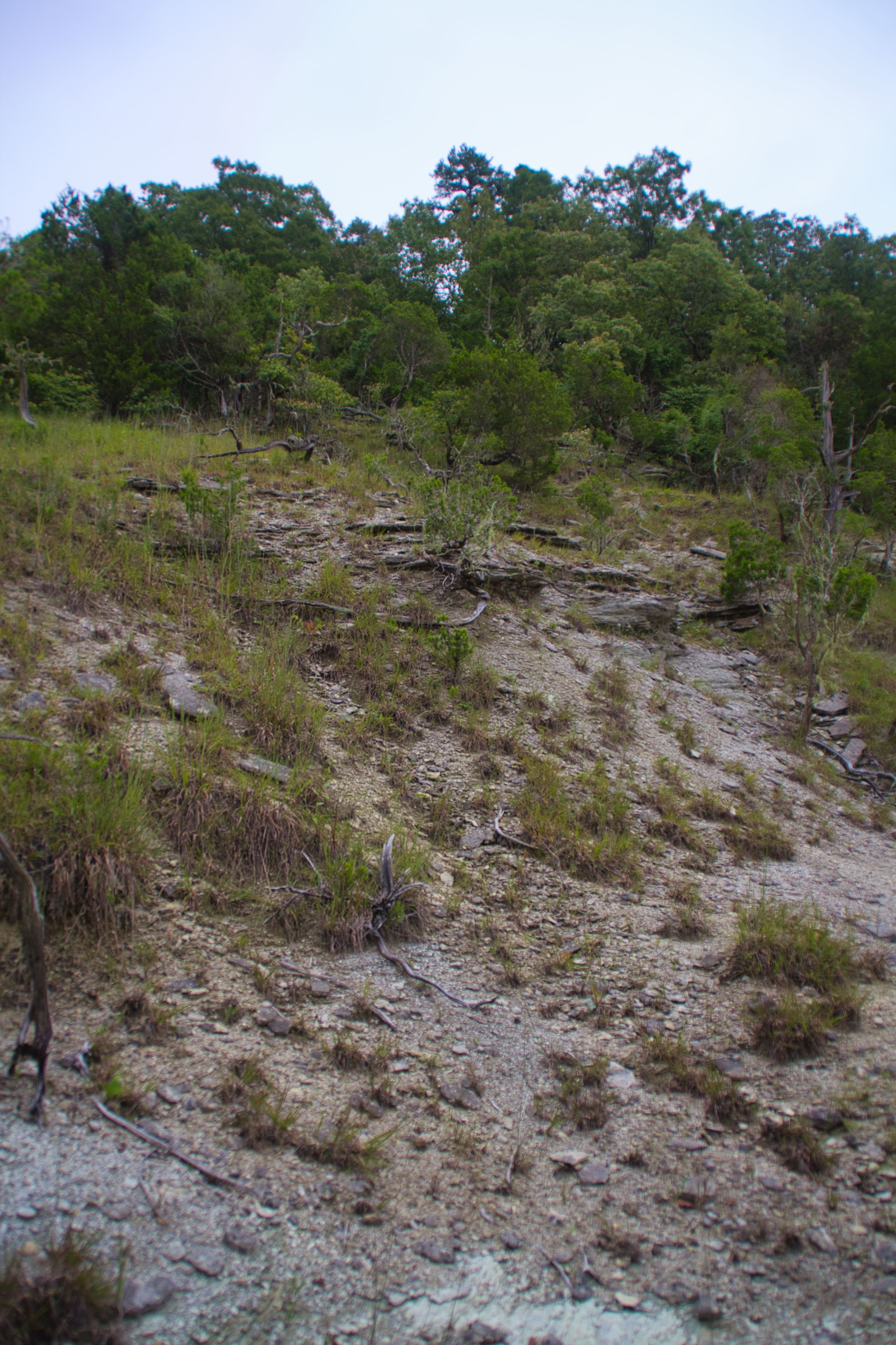
Carroll Cabin Barrens

Carroll Cabin Barrens

Carroll Cabin Barrens

Carroll Cabin Barrens

Carroll Cabin Barrens

Carroll Cabin Barrens

Carroll Cabin Barrens
Carroll Cabin Barrens

Carroll Cabin Barrens

Carroll Cabin Barrens
Carroll Cabin Barrens

Carroll Cabin Barrens
Carroll Cabin Barrens

Carroll Cabin Barrens

Carroll Cabin Barrens

Carroll Cabin Barrens

Carroll Cabin Barrens

Carroll Cabin Barrens
Topographic Map of 48 Adam Loop, Bath Springs, TN, USA
Find elevation by address:

Places near 48 Adam Loop, Bath Springs, TN, USA:
Eagle Nest Landing
Kaw-liga Lane
113 Pawnee Cv
100 Cherokee Ln
Sioux Drive
Scenic Ln, Bath Springs, TN, USA
950 Scenic Ln
Vine Street
Clifton
Bath Springs
301 E Water St
305 E Water St
309 E Water St
308 E Water St
401 E Water St
East Water Street
109 Tn River Estates Rd
555 Forrest Ave
5897 Tn-69
Bob's Landing Road
Recent Searches:
- Elevation of Corso Fratelli Cairoli, 35, Macerata MC, Italy
- Elevation of Tallevast Rd, Sarasota, FL, USA
- Elevation of 4th St E, Sonoma, CA, USA
- Elevation of Black Hollow Rd, Pennsdale, PA, USA
- Elevation of Oakland Ave, Williamsport, PA, USA
- Elevation of Pedrógão Grande, Portugal
- Elevation of Klee Dr, Martinsburg, WV, USA
- Elevation of Via Roma, Pieranica CR, Italy
- Elevation of Tavkvetili Mountain, Georgia
- Elevation of Hartfords Bluff Cir, Mt Pleasant, SC, USA