Elevation map of Park County, WY, USA
Location: United States > Wyoming >
Longitude: -109.45798
Latitude: 44.6782103
Elevation: 2547m / 8356feet
Barometric Pressure: 74KPa
Elevation Map:
Satellite Map:
Related Photos:

Sunbathing Golden Mantled Ground Squirel

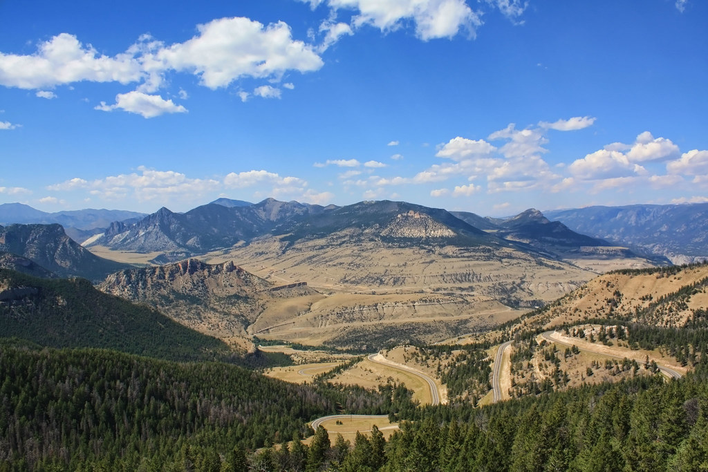
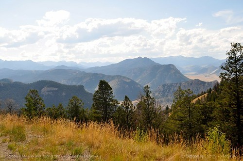
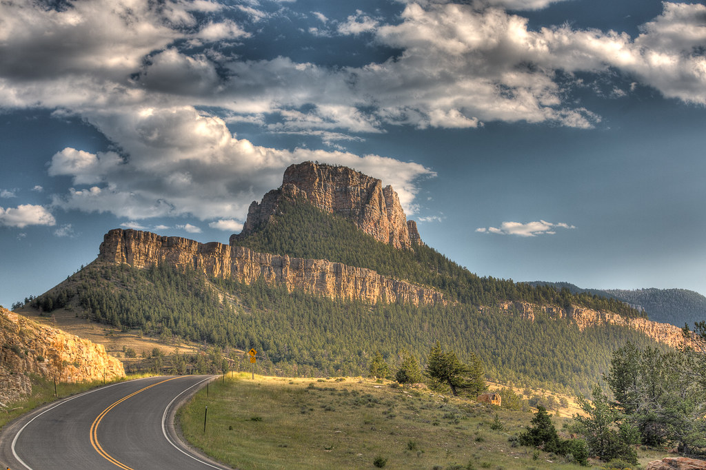
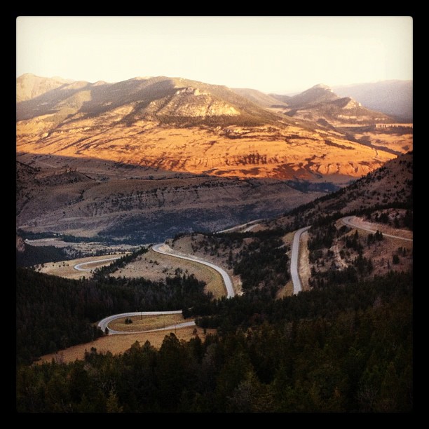
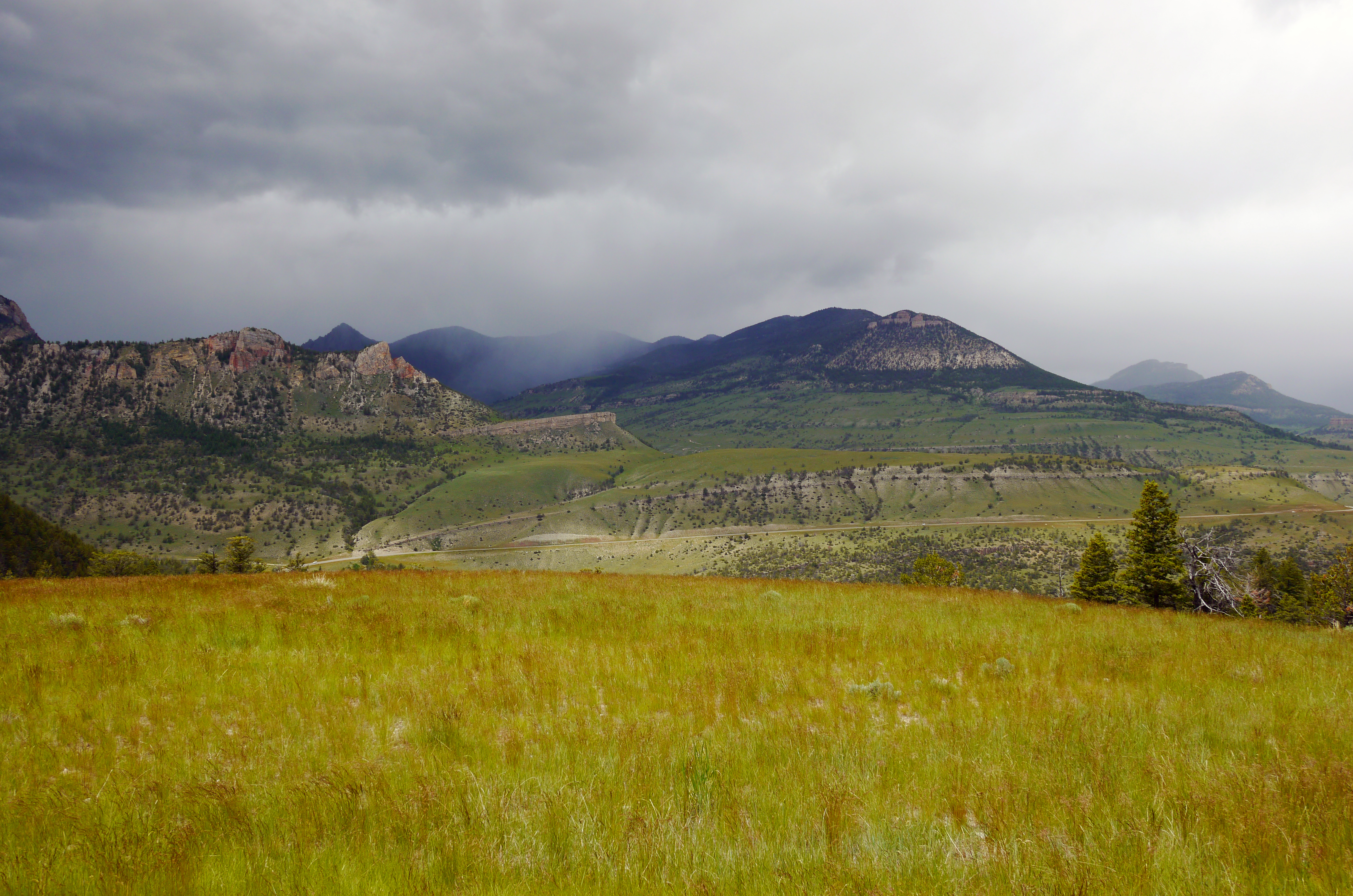
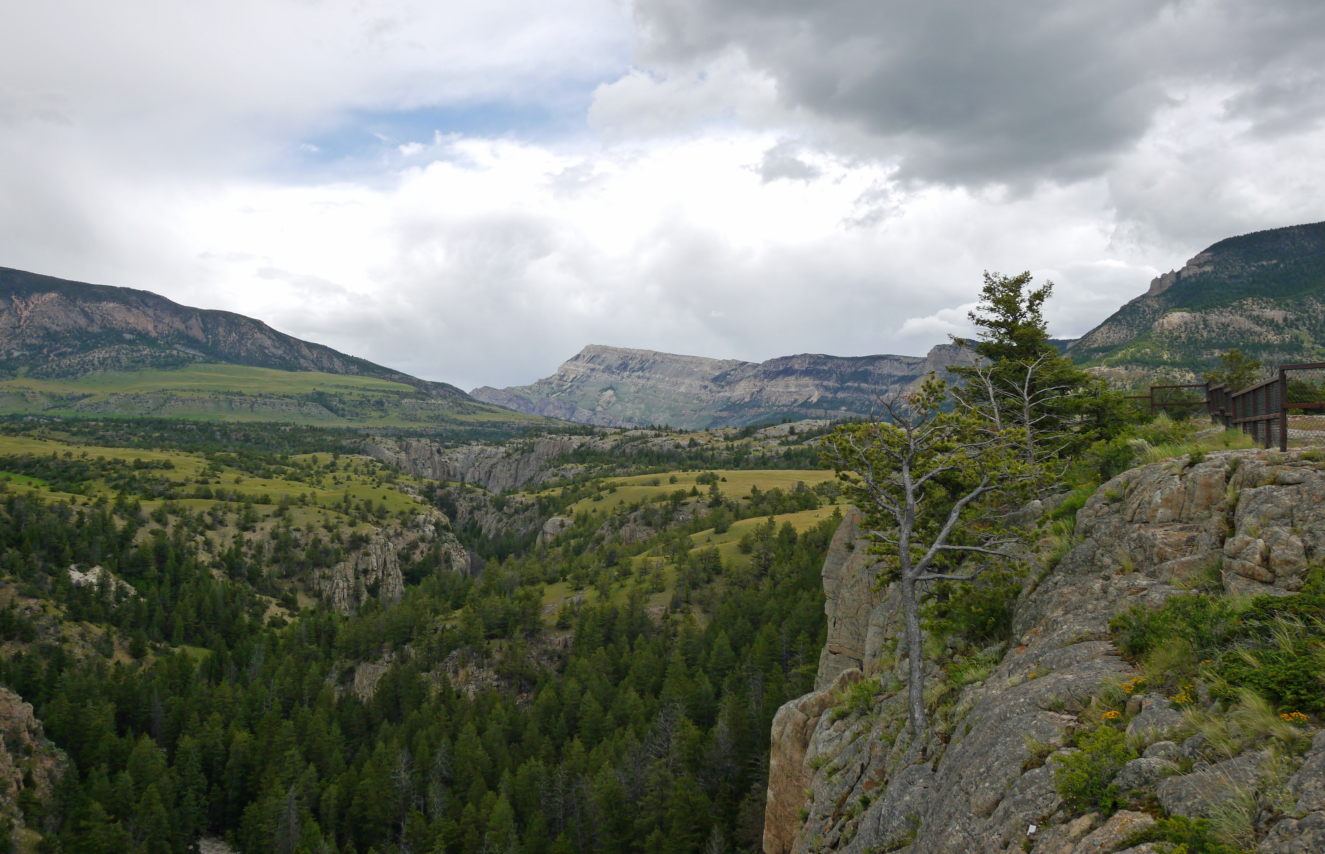
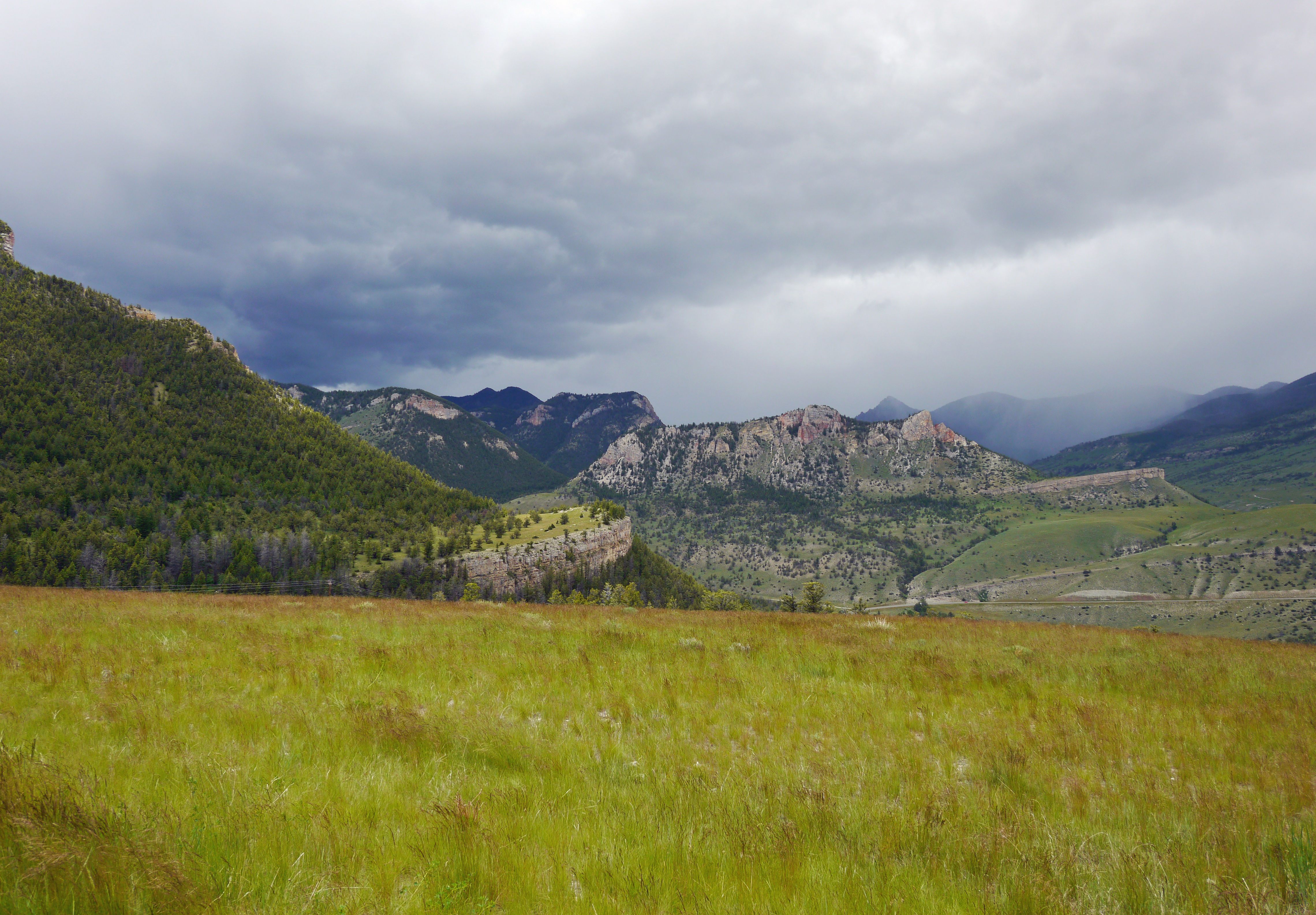
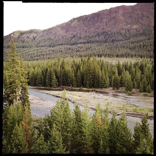
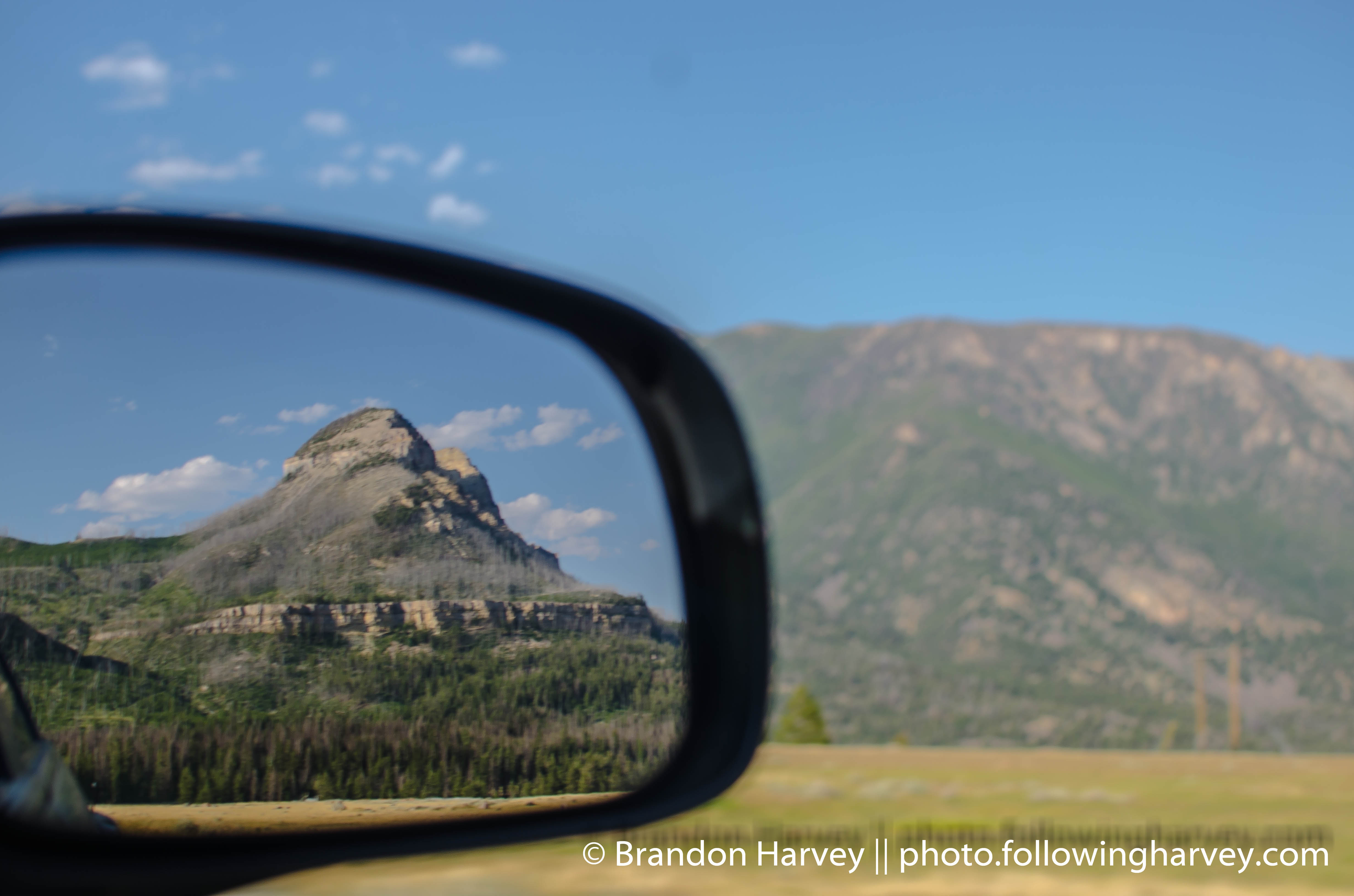
Chief Joseph Scenic Byway

pretty view . .
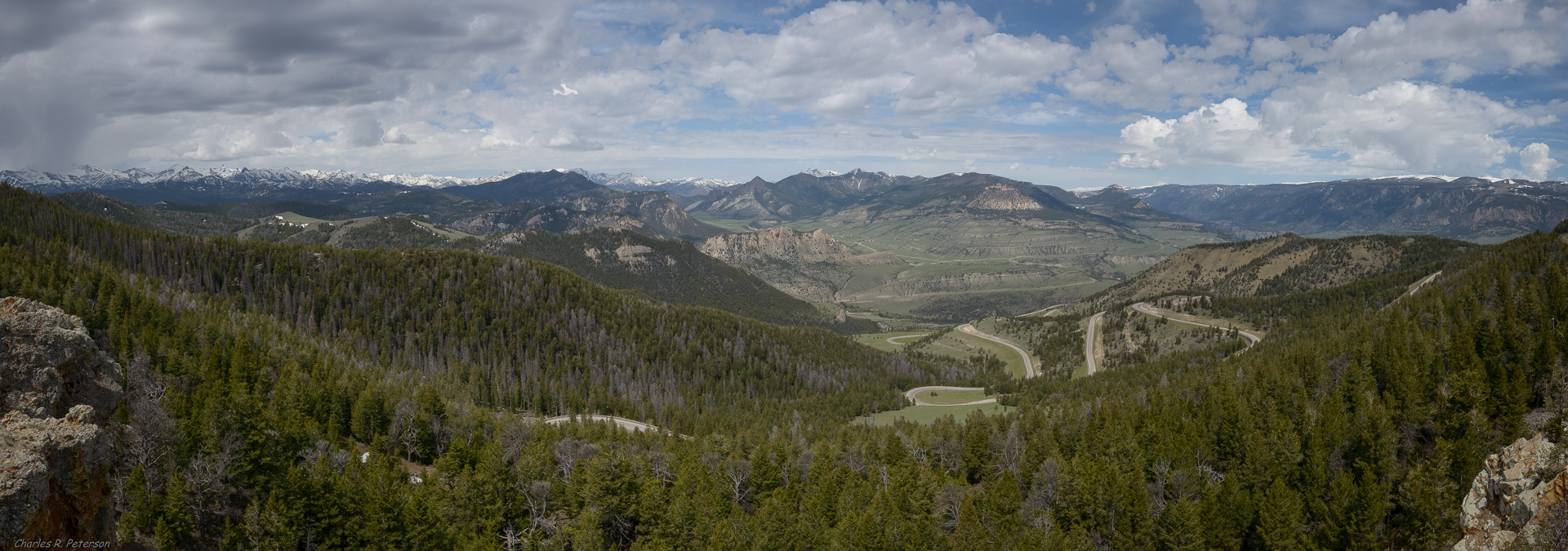
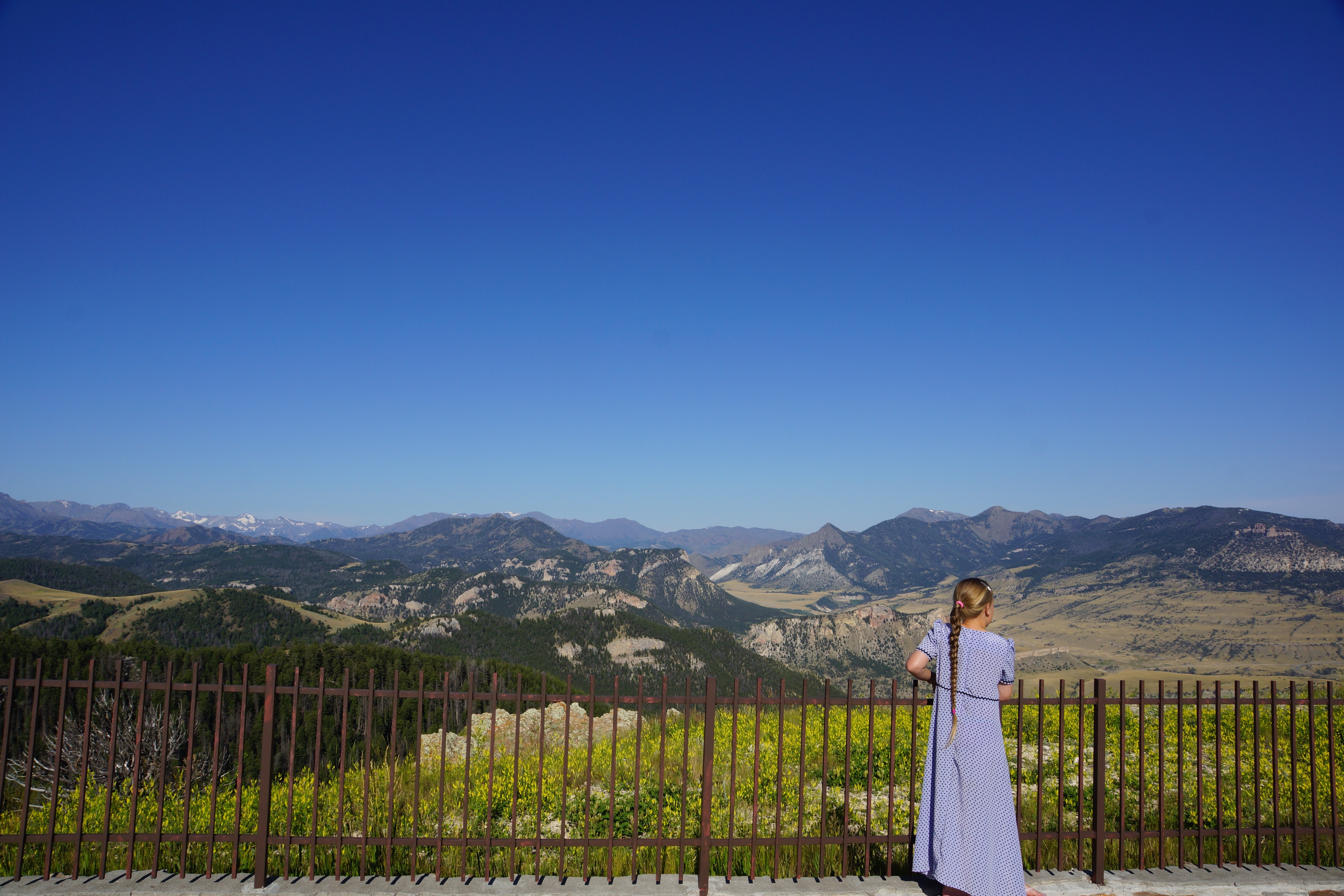
Dead Indian Overlook

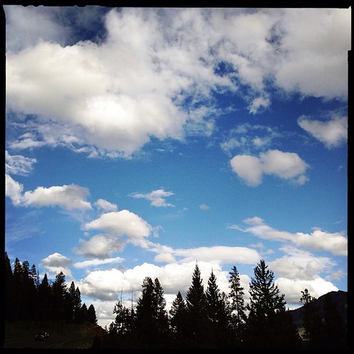
It's calling me . . .
Chief Joseph Highway... Spectacular roadside scenery...
Sunlight Bridge
One never tires of this amazing view

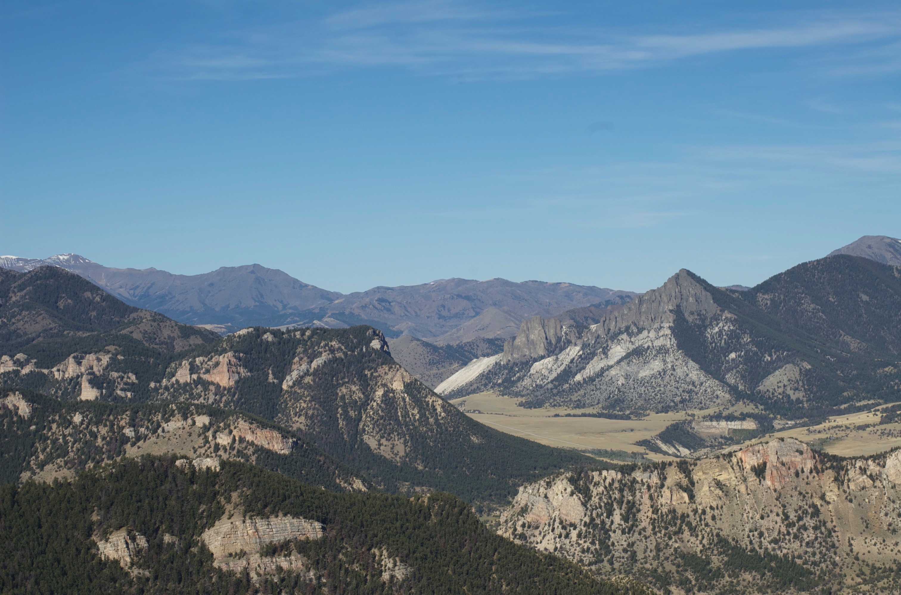
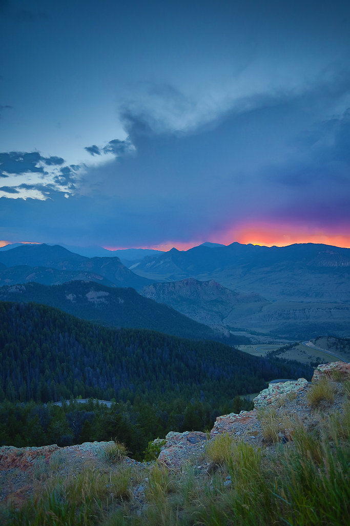
Dead Indian Pass
View of Chief Joseph Highway

Smokey View
Chief Joseph Highway
Chief Joseph Highway view

View from the Top

The View

View from the Top
We are sledding WHERE?
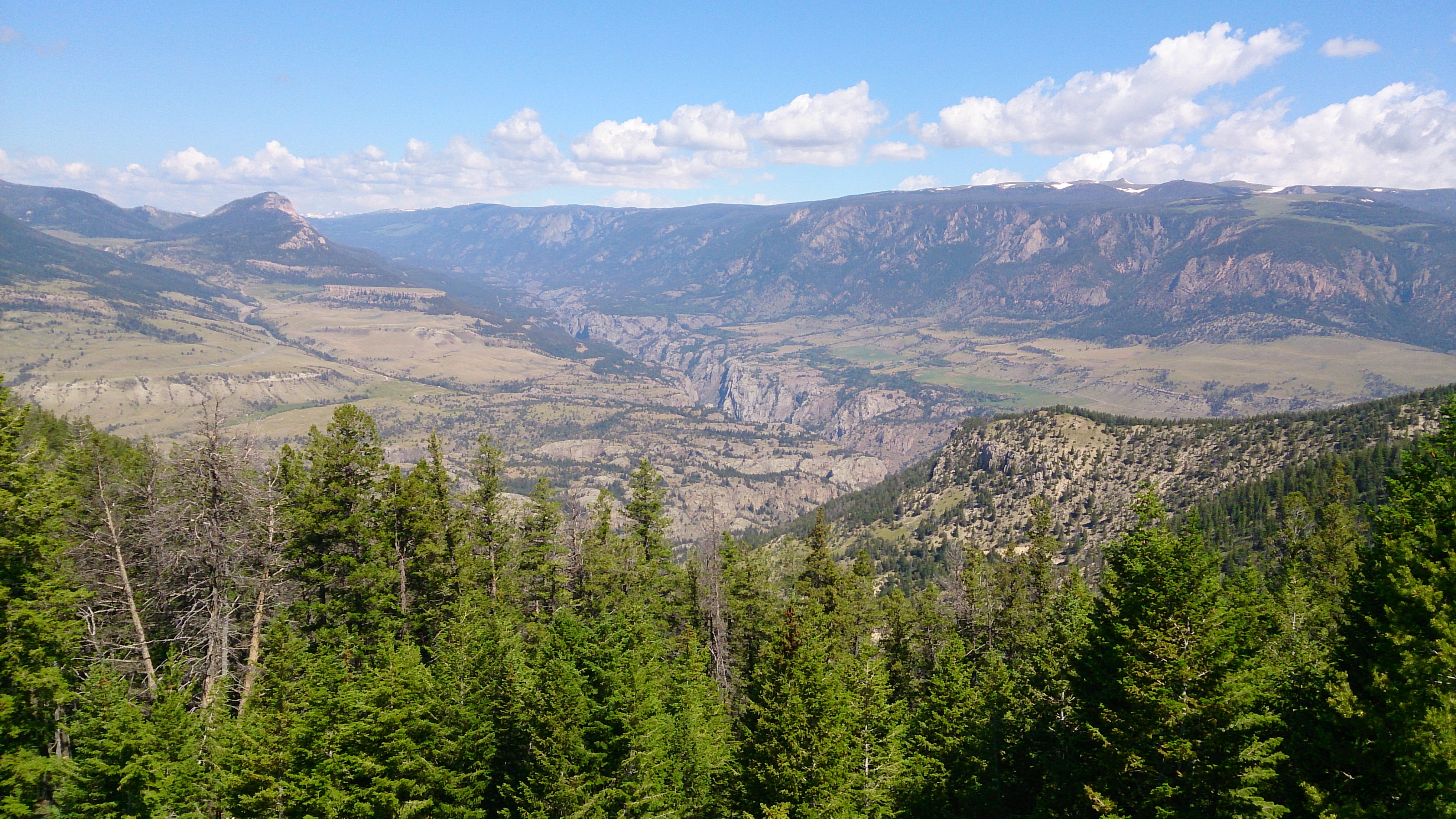
Dead Indian Pass View 2
Chief Joseph Highway 2
Dead Indian Overlook 01
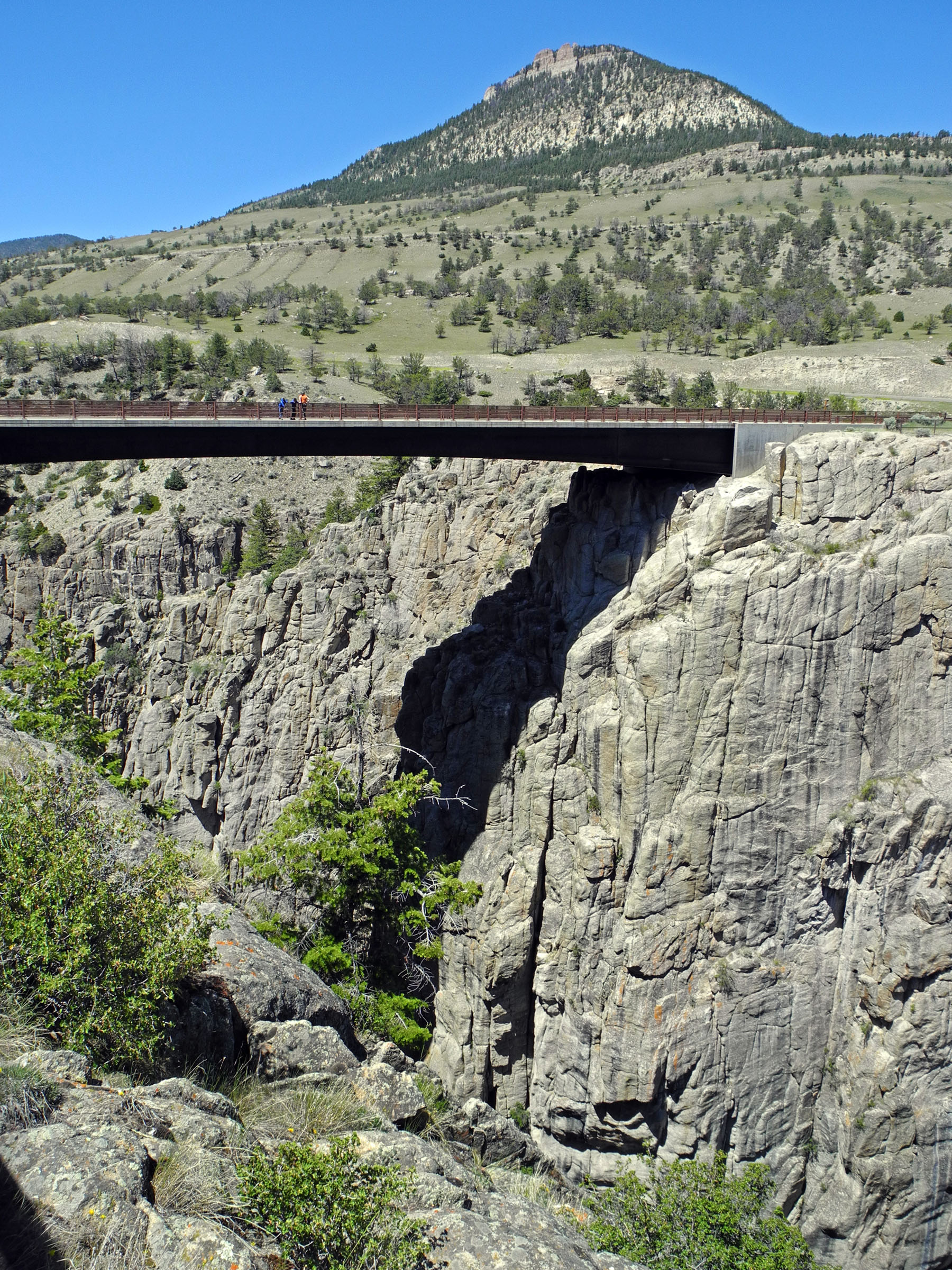
Sunlight Creek Bridge, Sunlight Creek Gorge, Wyoming
Beartooth Highway, MT.

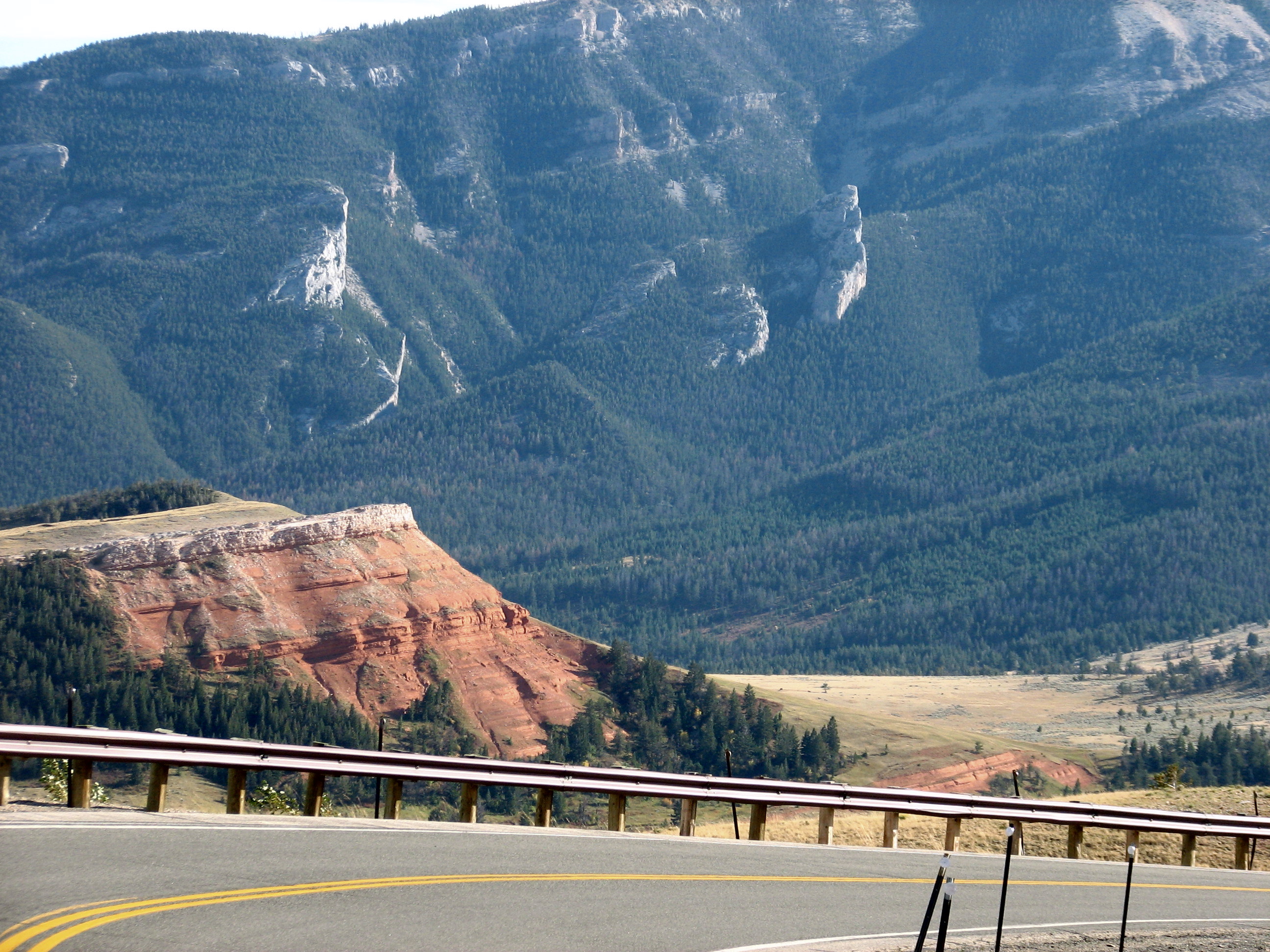
Butte Near Sunlight Canyon Bridge
Dead Indian Pass

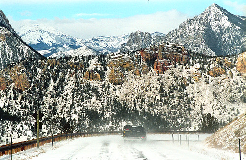
Bear tooth Highway to Cody
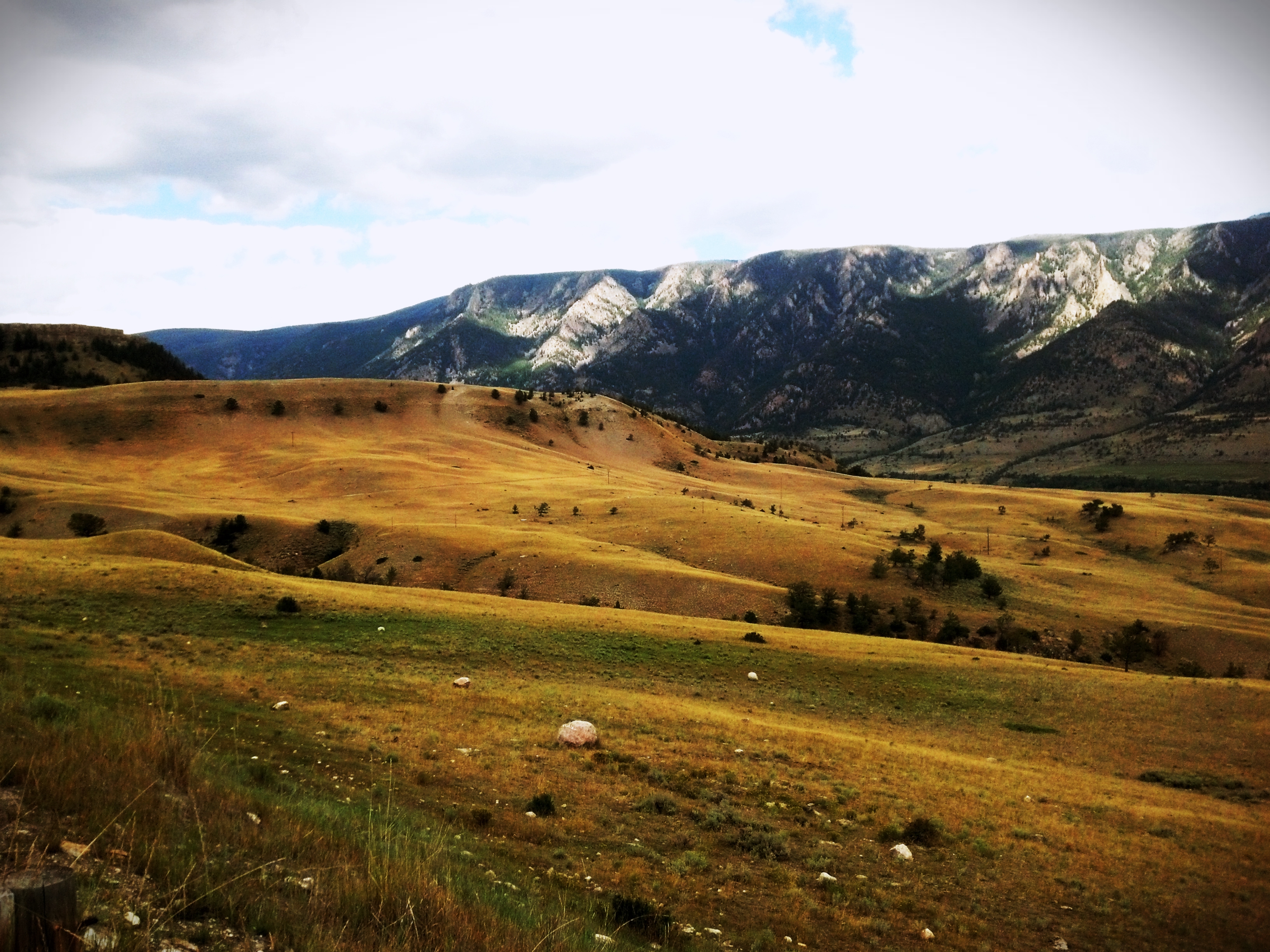
Sunlight Basin and the Absaroka Mountains - Wyoming
1407xx travel to MOA rally 19
2014 - USA - 229
Beartooth Highway, MT.
Bear tooth Highway to Cody
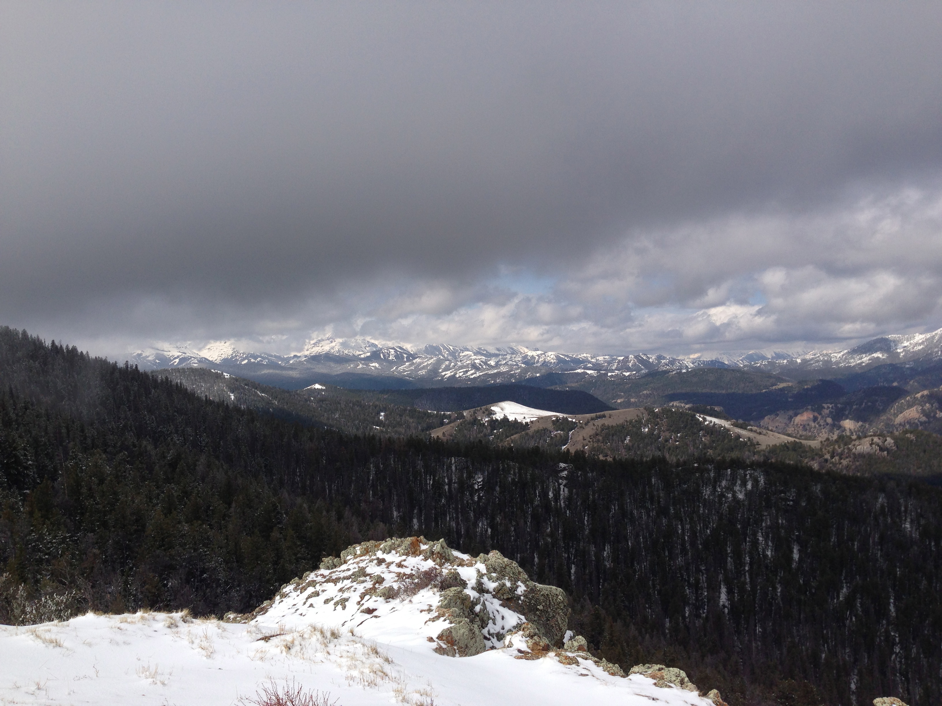
Yellowstone May 2013

Bear tooth Highway to Cody

Sandstone Hill on Chief Joseph Highway

1407xx travel to MOA rally 21

chief Philip
On chief joseph highway
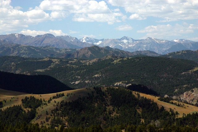
Looking Back
Topographic Map of Park County, WY, USA
Find elevation by address:

Places in Park County, WY, USA:
Meeteetse
Powell
Wapiti
Canyon Village
Powell Hwy, Powell, WY, USA
Mammoth
Main St, Burlington, WY, USA
Dry Creek
Places near Park County, WY, USA:
140 Sunlight Rd
85 The Way West Rd
Dead Indian Summit Overlook
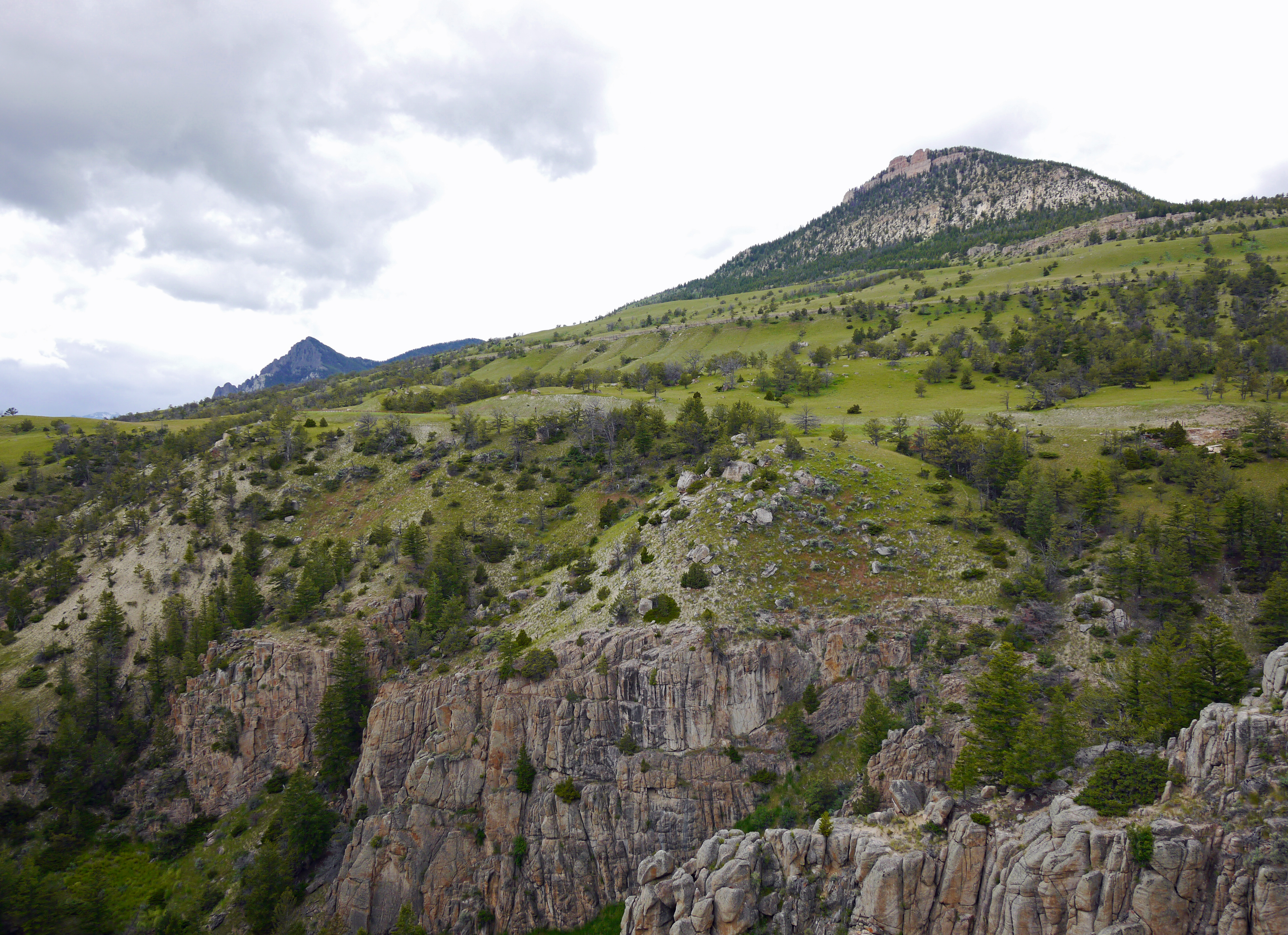
The Wall
86 Wapiti Heights Dr
86 Wapiti Heights Dr
59 Wapiti Heights Dr
36 Haman Mccall Trail
93 Copperleaf Dr
N Fork Hwy, Cody, WY, USA
Wapiti
29 Pack Saddle Trail
81 Rd 6cu
24 Rd 6cu
26 Talon Dr
3006 N Fork Hwy
86 N Wapiti Estates Drives
179 Stagecoach Trail
1 Streamside Dr
59 Green Creek Rd
Recent Searches:
- Elevation of Corso Fratelli Cairoli, 35, Macerata MC, Italy
- Elevation of Tallevast Rd, Sarasota, FL, USA
- Elevation of 4th St E, Sonoma, CA, USA
- Elevation of Black Hollow Rd, Pennsdale, PA, USA
- Elevation of Oakland Ave, Williamsport, PA, USA
- Elevation of Pedrógão Grande, Portugal
- Elevation of Klee Dr, Martinsburg, WV, USA
- Elevation of Via Roma, Pieranica CR, Italy
- Elevation of Tavkvetili Mountain, Georgia
- Elevation of Hartfords Bluff Cir, Mt Pleasant, SC, USA