Elevation of Wapiti, WY, USA
Location: United States > Wyoming > Park County >
Longitude: -109.43790
Latitude: 44.4677264
Elevation: 1716m / 5630feet
Barometric Pressure: 82KPa
Elevation Map:
Satellite Map:
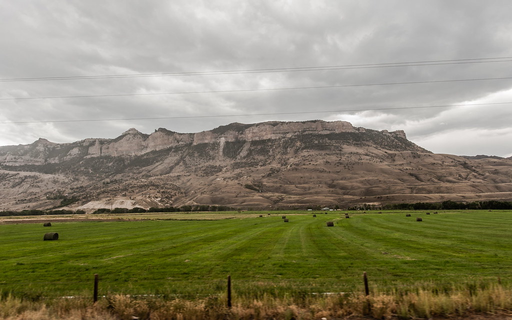
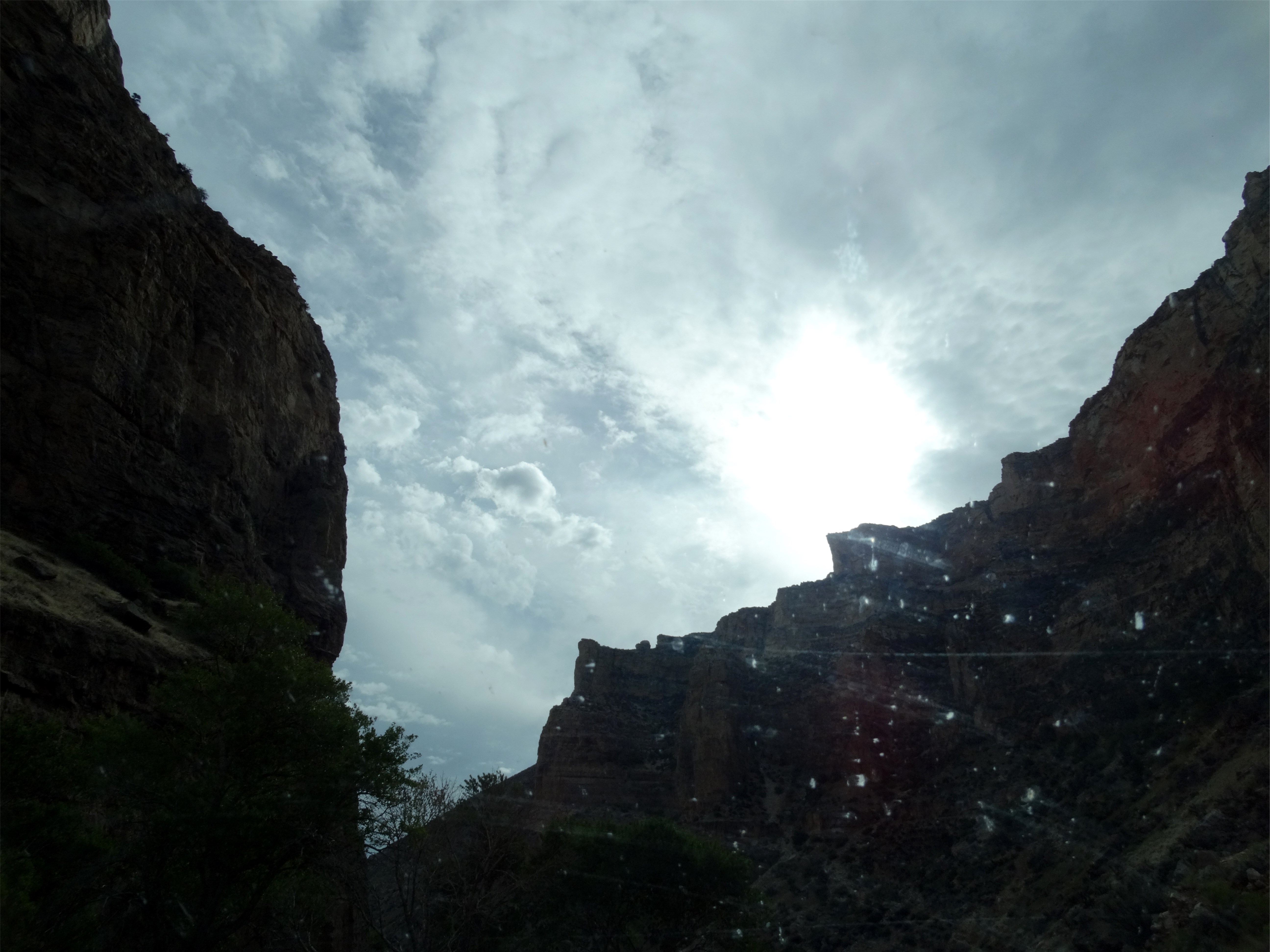
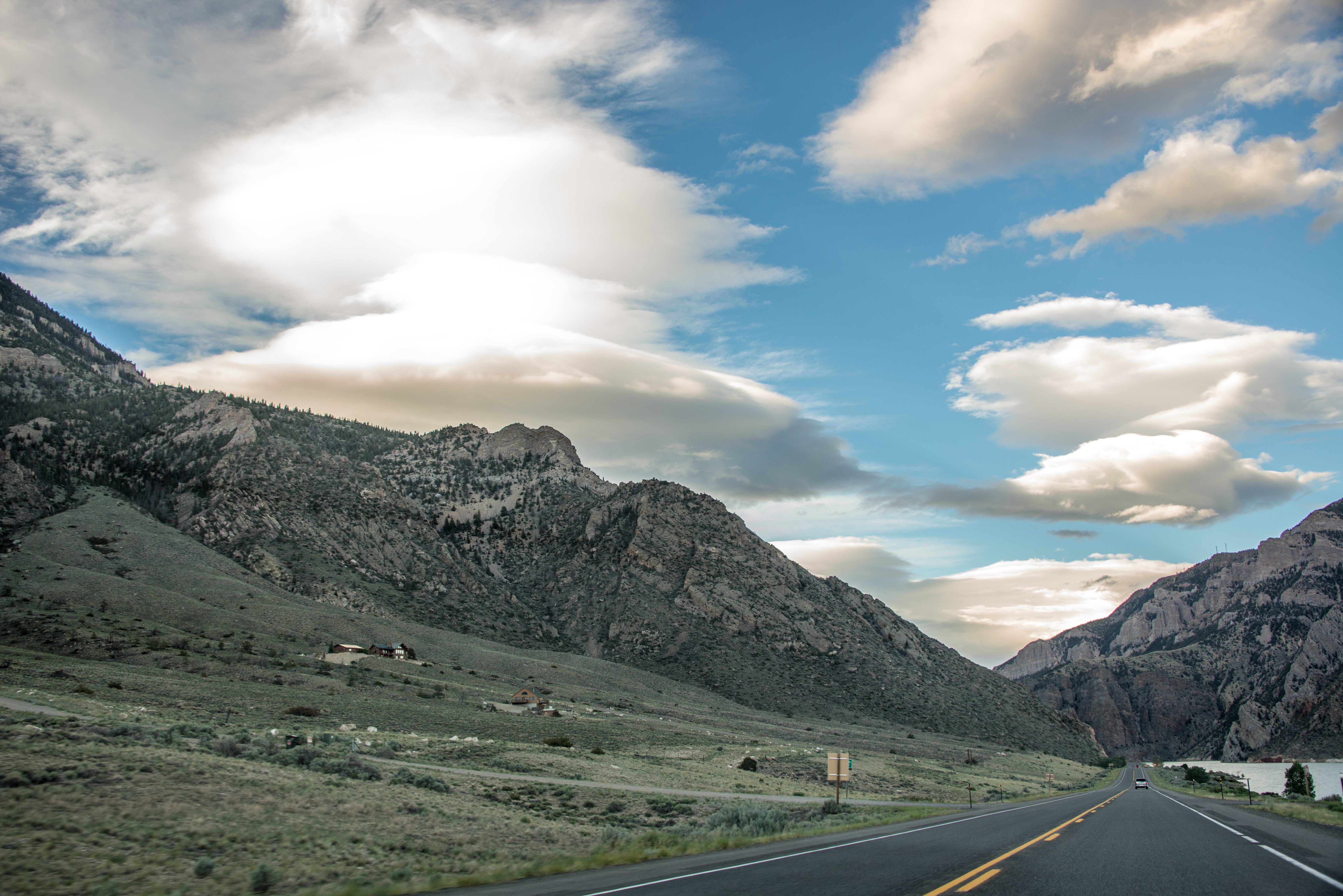
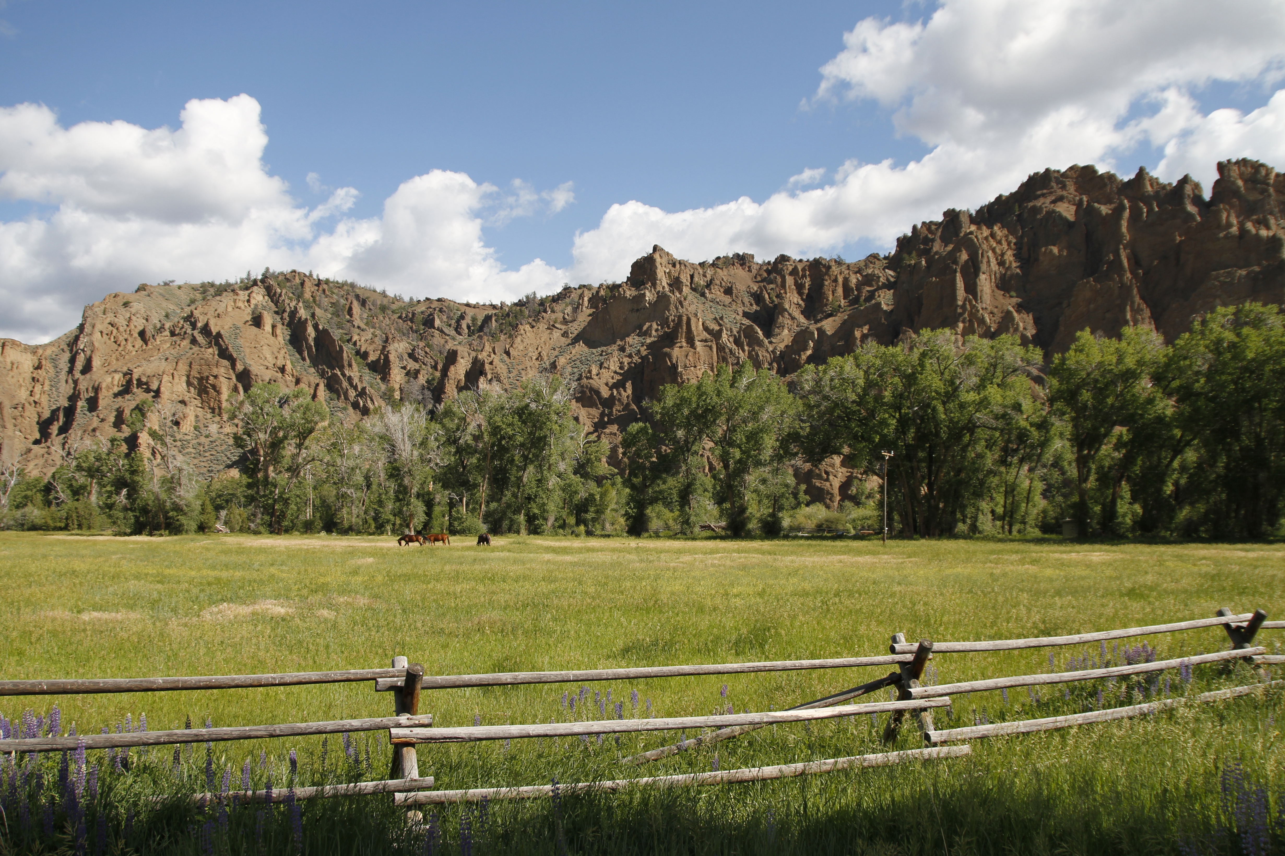
Related Photos:

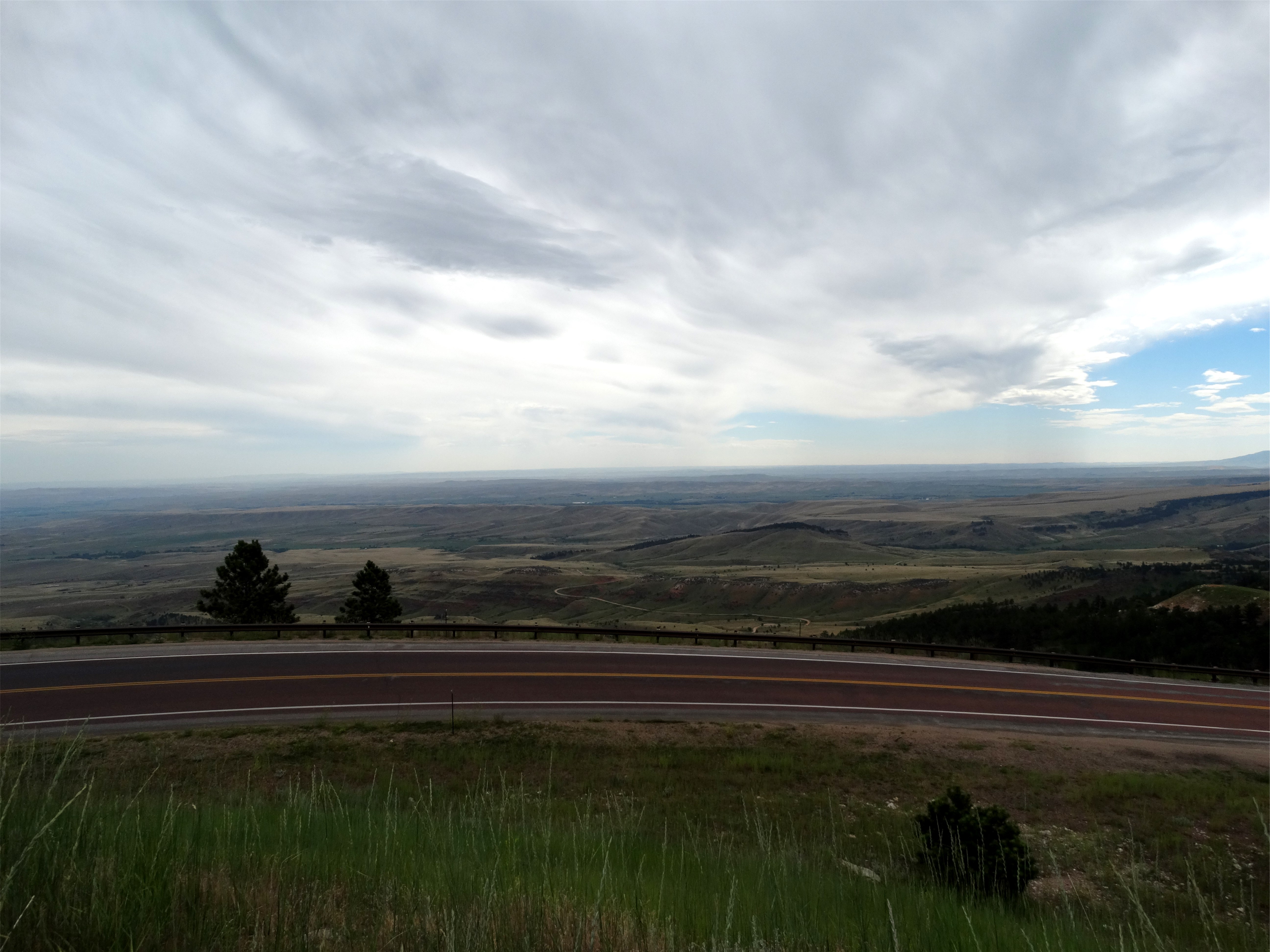
View from the Mailboxes

Mountain Cottontail Rabbit
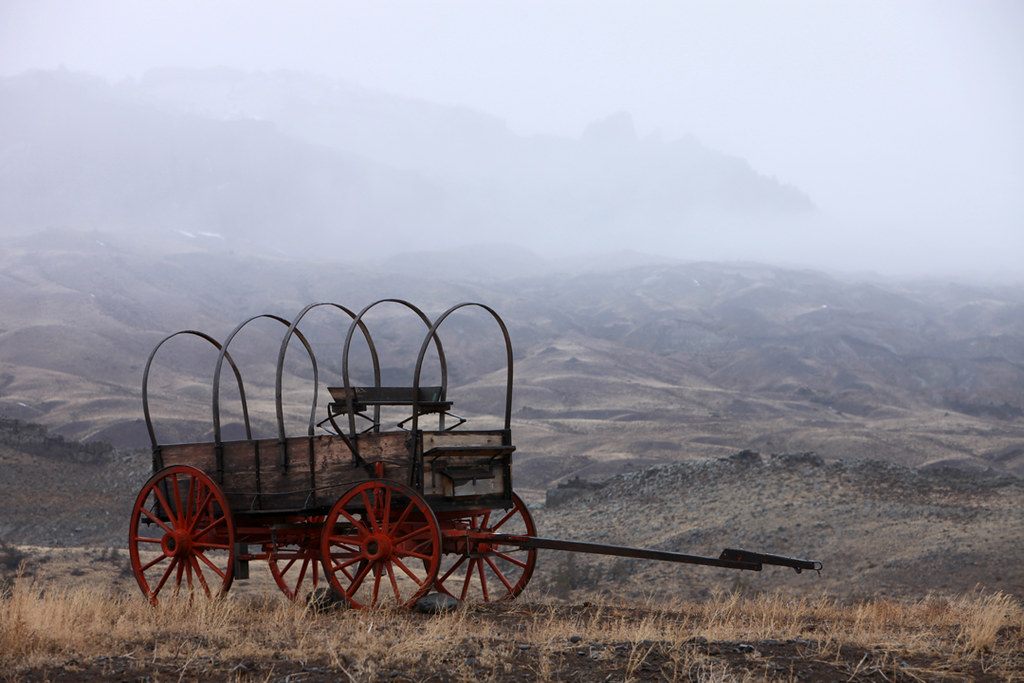
Rainy Afternoon
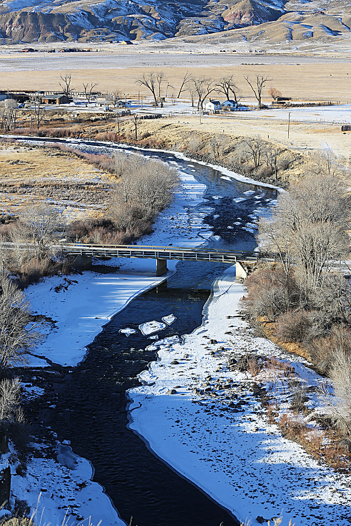
Bridge Over The South Fork
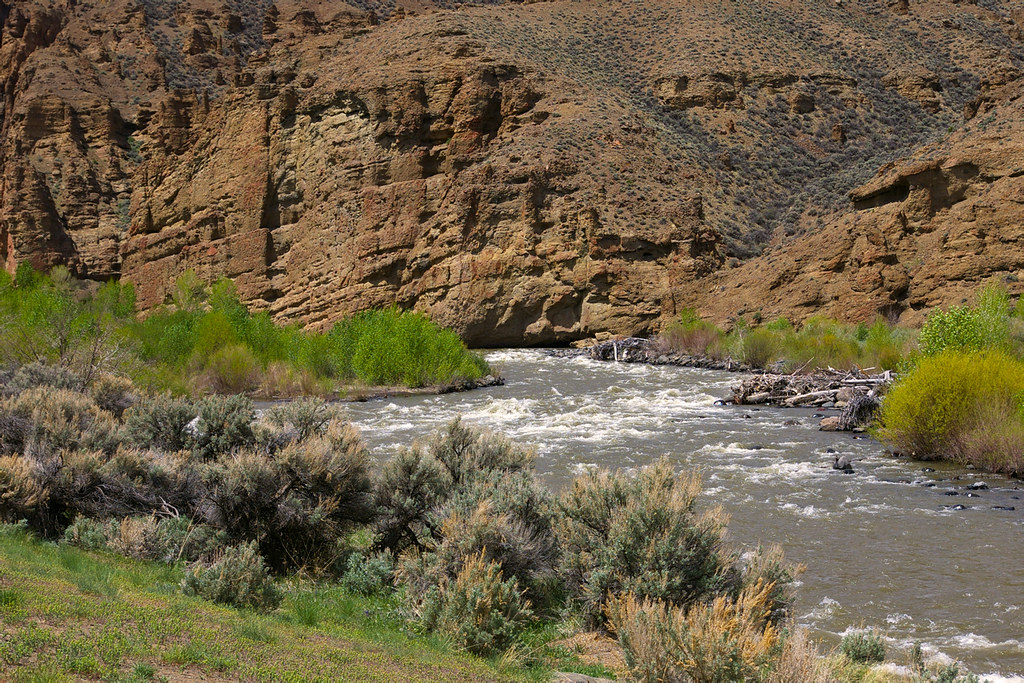
South Fork Valley
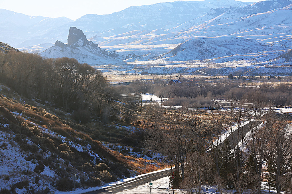
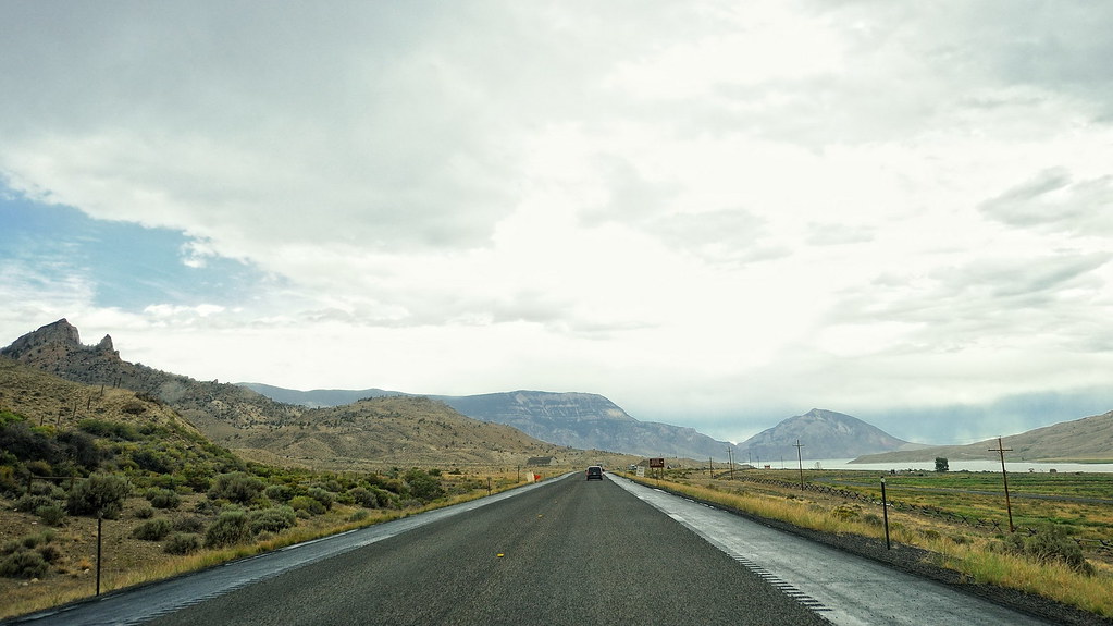
Cody to Yellowstone
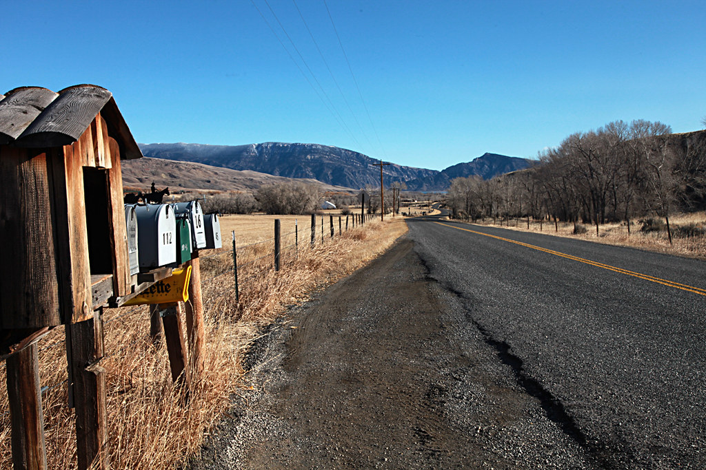
View from the Mailboxes
Cody to Yellowstone

ZE27_17192001.jpg
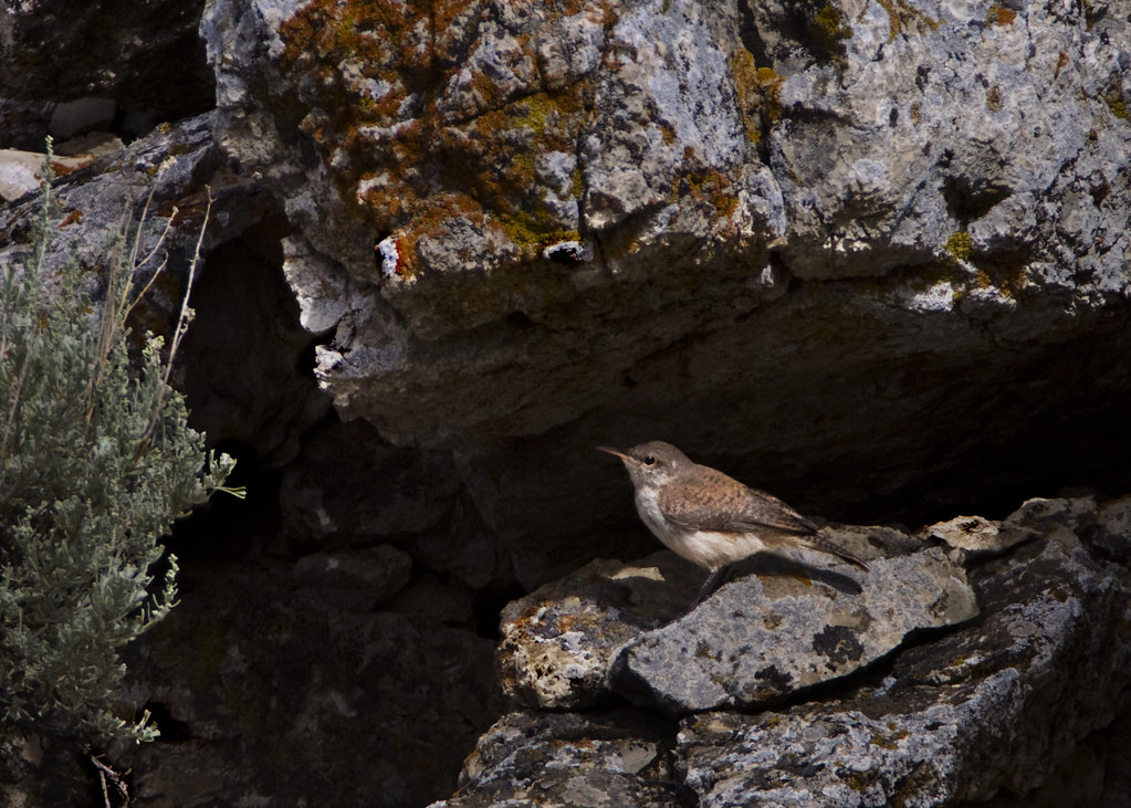
Rock Wrens
ZE27_17174801.jpg

Winter Range
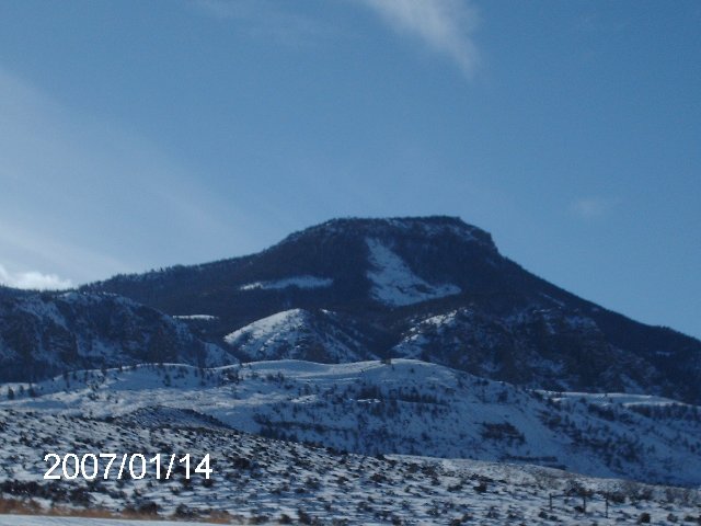
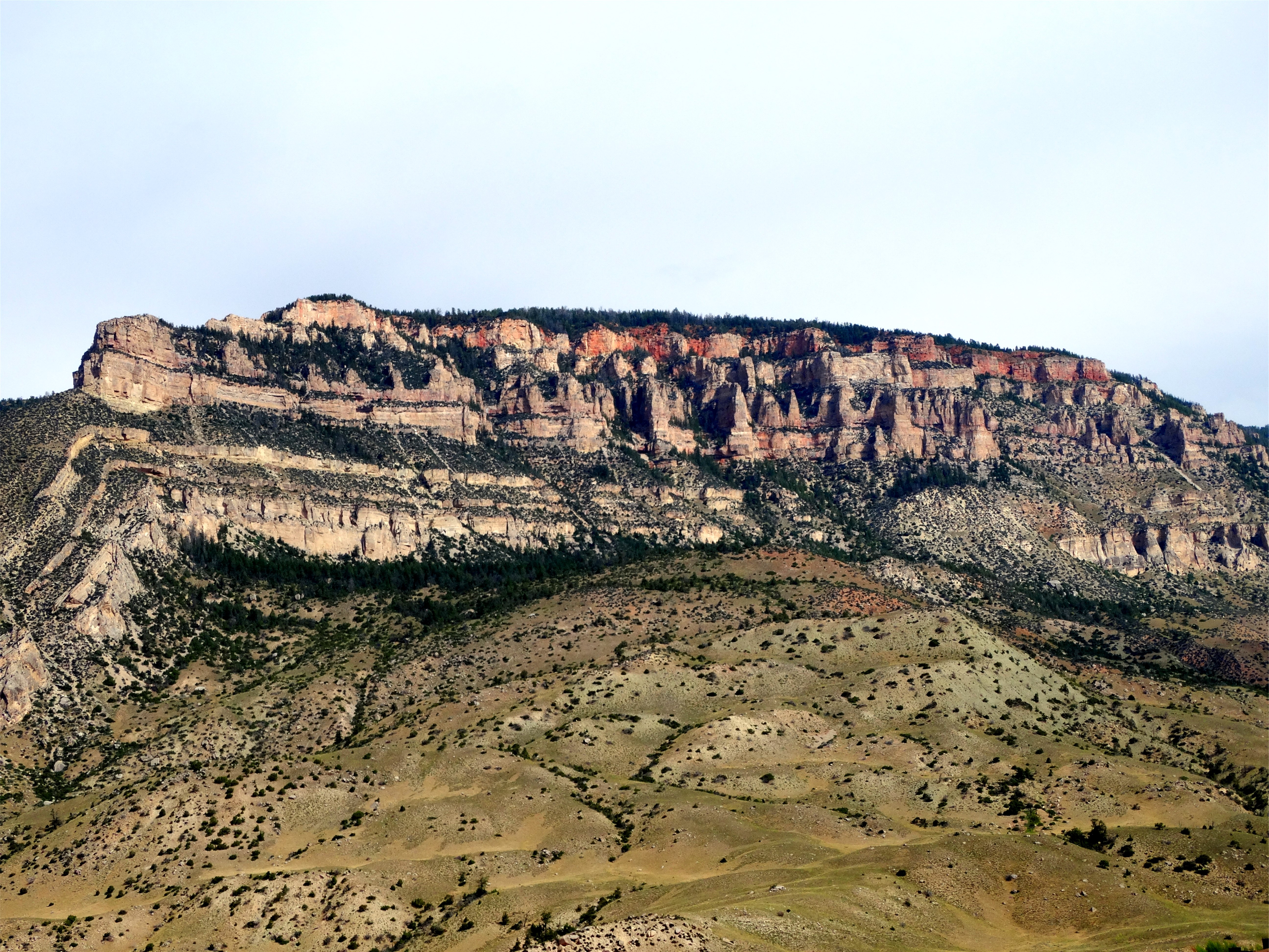
Table Mountain

Mountain View Lodge - Cody WY

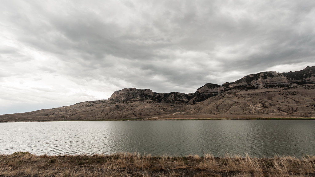
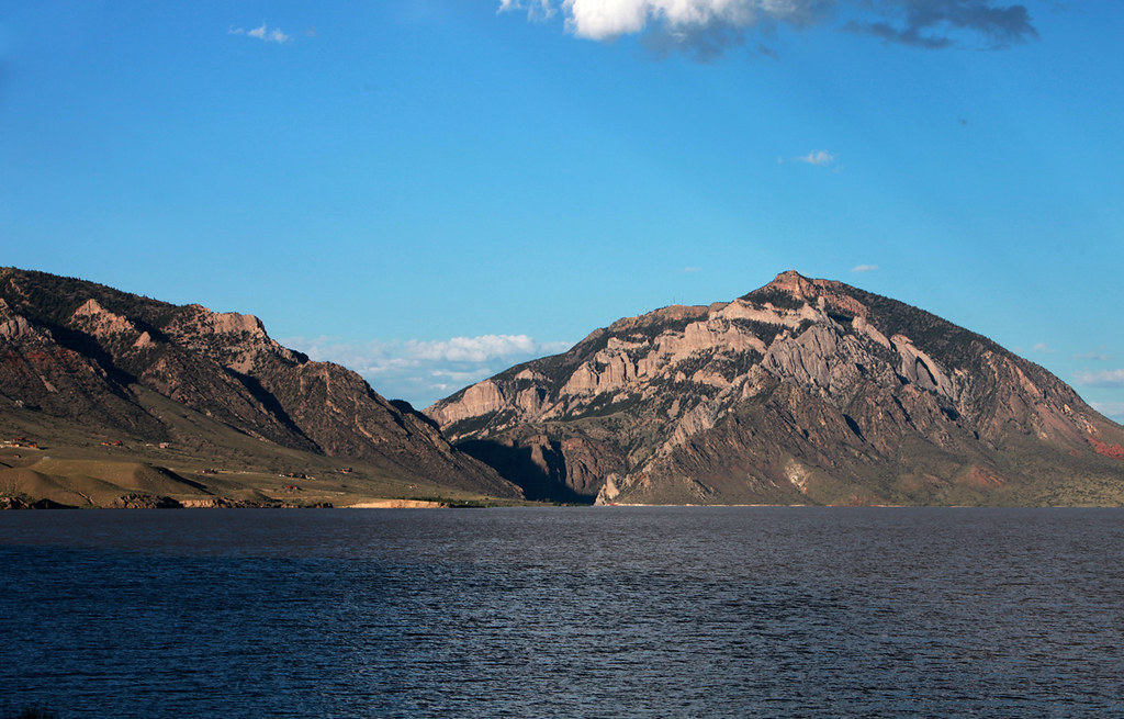
BUFFALO BILL DAM RESERVOIR

Snake River
DSC_1284_2013-08-23_15-07-33
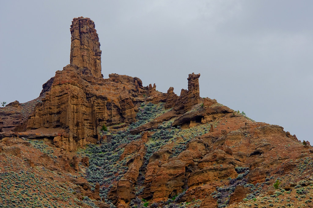
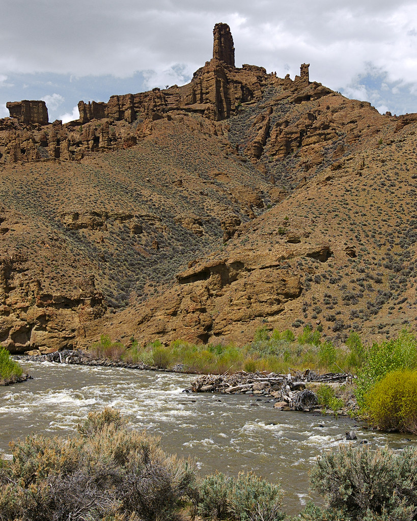
Holy City Rock Formation
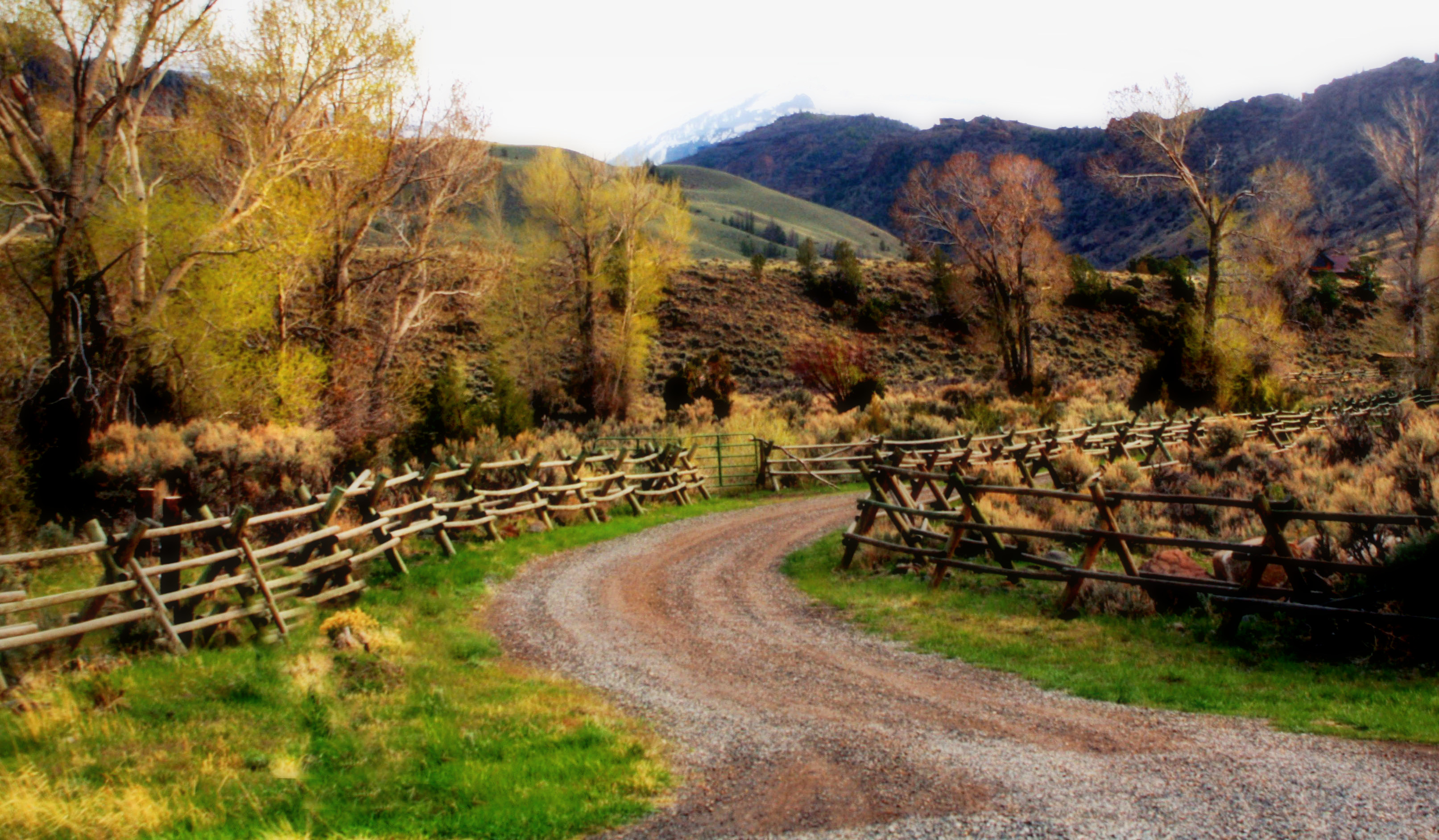
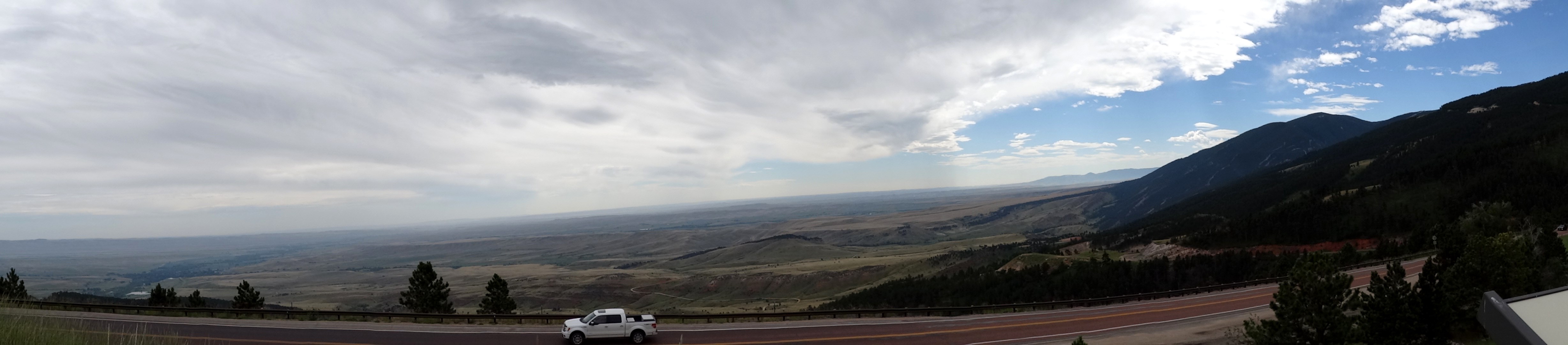
A Narrow Road

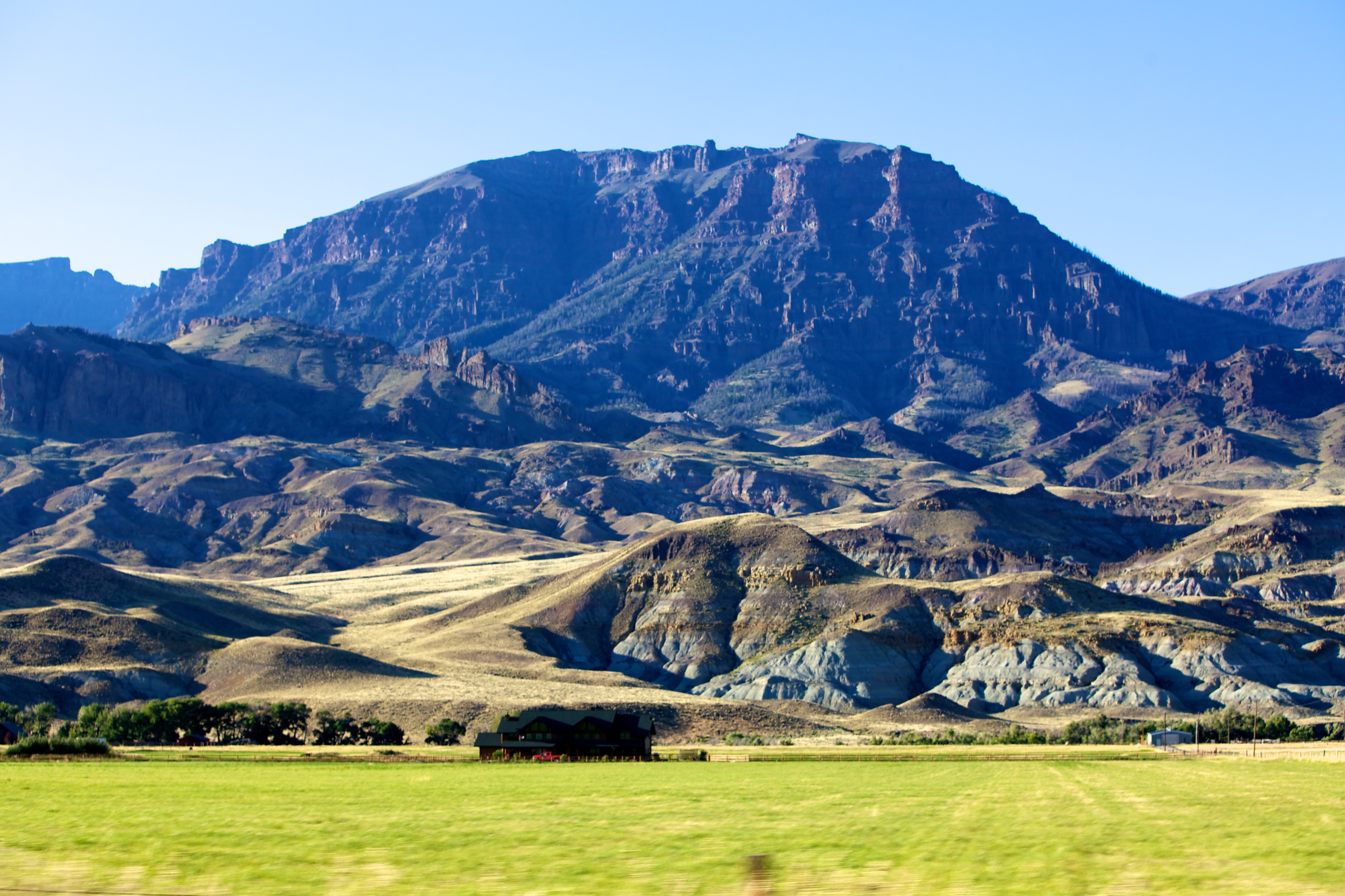
Absaroka Range
Wyoming - On the Road (49)

I bet against the company, again
day07 324
DSC_1288_2013-08-23_15-08-49
DSC_1271_2013-08-23_15-01-28
DSC_1283_2013-08-23_15-06-46
Wyoming - On the Road (55)

lumpy hills
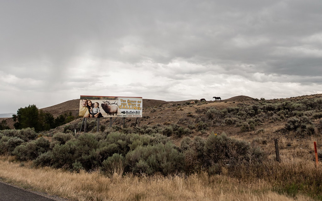
On the Buffalo Bill Cody Scenic Byway

bei Cody
Vac2011- 320
Buffalo Bil Reservoir and Rattlesnake Mountain Anticline

Wyoming Landscape
Wyoming - On the Road (10)
Wyoming - On the Road (51)
Topographic Map of Wapiti, WY, USA
Find elevation by address:

Places in Wapiti, WY, USA:
Places near Wapiti, WY, USA:
N Fork Hwy, Cody, WY, USA
36 Haman Mccall Trail
86 N Wapiti Estates Drives
29 Pack Saddle Trail
86 Wapiti Heights Dr
86 Wapiti Heights Dr
59 Wapiti Heights Dr
179 Stagecoach Trail
3006 N Fork Hwy
93 Copperleaf Dr
26 Talon Dr
24 Rd 6cu
59 Green Creek Rd
81 Rd 6cu
1 Streamside Dr
540 Stagecoach Trail
2433 Southfork Rd
93 Davis Draw Rd
271 Rd 6eh
T E Ranch
Recent Searches:
- Elevation of Corso Fratelli Cairoli, 35, Macerata MC, Italy
- Elevation of Tallevast Rd, Sarasota, FL, USA
- Elevation of 4th St E, Sonoma, CA, USA
- Elevation of Black Hollow Rd, Pennsdale, PA, USA
- Elevation of Oakland Ave, Williamsport, PA, USA
- Elevation of Pedrógão Grande, Portugal
- Elevation of Klee Dr, Martinsburg, WV, USA
- Elevation of Via Roma, Pieranica CR, Italy
- Elevation of Tavkvetili Mountain, Georgia
- Elevation of Hartfords Bluff Cir, Mt Pleasant, SC, USA