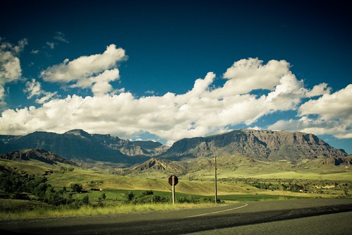
Elevation of 24 Rd 6Cu, Cody, WY, USA

Location: United States > Wyoming > Cody >

Longitude: -109.49304

Latitude: 44.466615

Elevation: 1744m / 5722feet

Barometric Pressure: 82KPa

Elevation Map:

elevation map of 24 Rd 6Cu, Cody, WY, USA

Satellite Map:

Satellite map of 24 Rd 6Cu, Cody, WY, USA

Related Photos:

1950s yellowstonenationalpark gasoline stationwagon firechief buffalobill us20 parkcounty skychief
Mountain View Lodge - Cody WY
nationalpark nps yellowstonenationalpark yellowstone wyoming nationalparkservice shoshone rivervalley hwy16 parkcounty yellowstonepark hwy20 hwy14 tetoncounty wyomingvalley shoshoneriver shoshonerivervalley parkcountywyoming westernrivers ushighway20 wyomingpark americannationalpark ushighway14 firstnationalpark westernnationalparks wyomingnationalpark greatnationalparks tetoncountywyoming wyomingriver ushighway16 wyomingrivers westernnationalpark wyomingrivervalley
Shoshone River
mist storm rain fog wagon wyoming np wapiti coveredwagon gody wyojones northforkoftheshoshone wapiyivalley
Rainy Afternoon
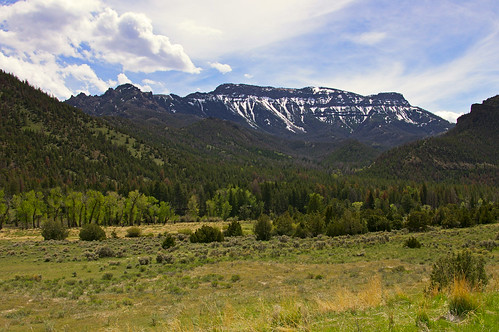
travel trees usa mountains nature clouds landscape geotagged spring pentax yellowstone wyoming cody shoshonenationalforest k110d absarokamountains
Cody to Yellowstone
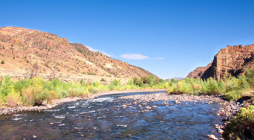
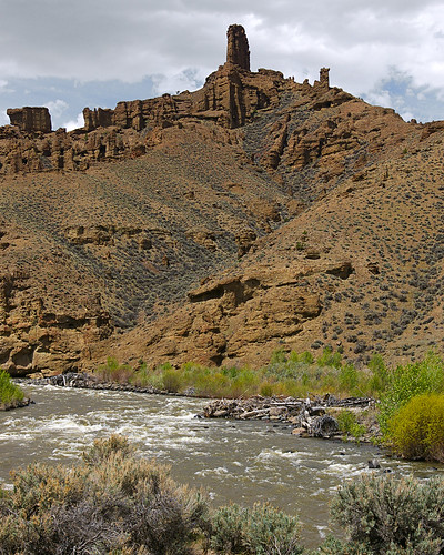
travel usa nature river landscape geotagged spring rocks pentax rapids yellowstone wyoming cody shoshone shoshonenationalforest k110d
Cody to Yellowstone
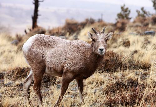
grass sheep wildlife horns canyon wyoming np cody mammals wapiti northfork mountainsheep shoshoneriver wyojones northforkoftheshoshoneriver
Winter Range
road trip vacation mountain nature colorado unitedstates scenic roadtrip wyoming cody i25 wapiti orin us20 thermopolis interstate25 chugwater dacono statehighway52 us18 statehighway313 northforkhwy statehighway120w unitedstateshighway18
ZE27_17174801.jpg
snow wyoming tablemountain wapiti wapitivalley
Table Mountain
iphone elk herd spotting scope wyoming
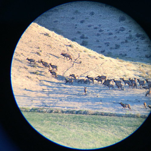
Spotting Scope Shot of a Departing Herd...
snow peaks absarokas wyoming alfalfa field
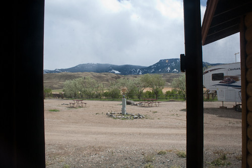
View from the Cabin
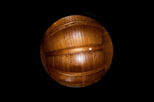
road trip vacation log cabin colorado unitedstates roadtrip fisheye logcabin wyoming cody 45mm i25 wapiti orin us20 thermopolis interstate25 chugwater dacono statehighway52 us18 statehighway313 northforkhwy statehighway120w unitedstateshighway18
ZE27_17192001.jpg
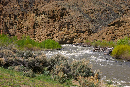
travel usa nature river landscape geotagged spring rocks pentax nationalforest yellowstone wyoming cody shoshoneriver k110d
Cody to Yellowstone
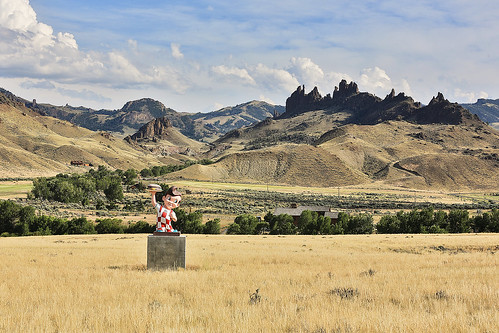
wyoming wapitivalley cody bigboy bobsbigboy statue bobwian hamburger icon norestaurant volcanics geology igneousrocks scenery backdrop bretechecreek hoodoos spires ridge
Big Boy's Neighborhood
Snake River
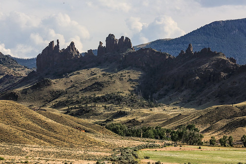
cody wyoming wapitivalley yellowstonehighway absarokavolcanicfield andesites lahar volcanoclastics alluvialapron sedimentaryrocks mudflow deposists lavaflows flowbreccia sunlightvolcano igneousrock extrusives erosion ridge differentialerosion topography sagebrush cottonwoods trees hoodoos eocene
Ridge of Hoodoos
peregrino27newvision
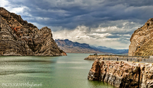
BUFFALO BILL DAM RESERVOIR
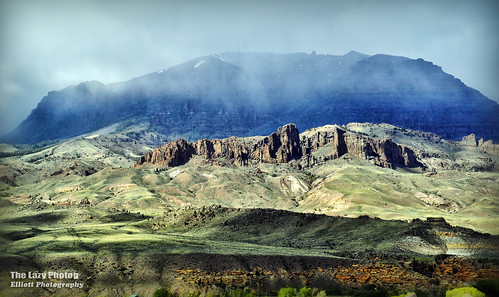
park rock clouds john river photography low north entrance fork east lazy national yellowstone wyoming elliott shoshone cuca formations photog worland 052516codytripmelglennaandus
May 25 2016 - Along the North Fork of the Shoshone River
DSC_1284_2013-08-23_15-07-33
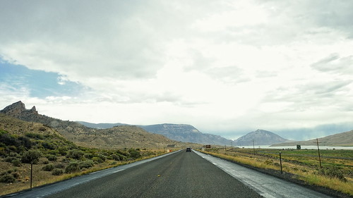
A Narrow Road
travel usa nature clouds river landscape geotagged nikon rocks wyoming nikkor shoshoneriver d700 70200mmf28gvrii holycityrockformation
Holy City Rock Formation
day07 324
wyoming ontheroad
Wyoming - On the Road (49)
usa america midwest absarokarange midwesternus
Absaroka Range
Purity of a Thought
DSC_1288_2013-08-23_15-08-49
DSC_1271_2013-08-23_15-01-28
DSC_1283_2013-08-23_15-06-46
wyoming ontheroad
Wyoming - On the Road (55)
road vacation usa holiday mountains america landscape outdoors unitedstates roadtrip yellowstone wyoming cody thegreatoutdoors
lumpy hills
vacation
Vac2011- 320
wyoming absarokamoutains fields wapitivalley northforkoftheshoshoneriver cody furrows planted farms volcanics dirt wyojones np
Wapiti Valley Scene
summer mountains landscape wyoming
Wyoming Landscape