Elevation of Dead Indian Summit Overlook, Chief Joseph Hwy, Cody, WY, USA
Location: United States > Wyoming > Cody >
Longitude: -109.38314
Latitude: 44.7434859
Elevation: -10000m / -32808feet
Barometric Pressure: 295KPa
Elevation Map:
Satellite Map:
Related Photos:

Pat O'Hara Mountain Panorama

Sunlight Canyon

Heart Mountain
Red Hogback on Blaine Creek

Heart Mountain From Chief Joseph Highway

Heart Mountain (Explored Sep. 28, 2016)

Guarding the pass

Along The Chief Joseph Scenic Byway

pretty view . .

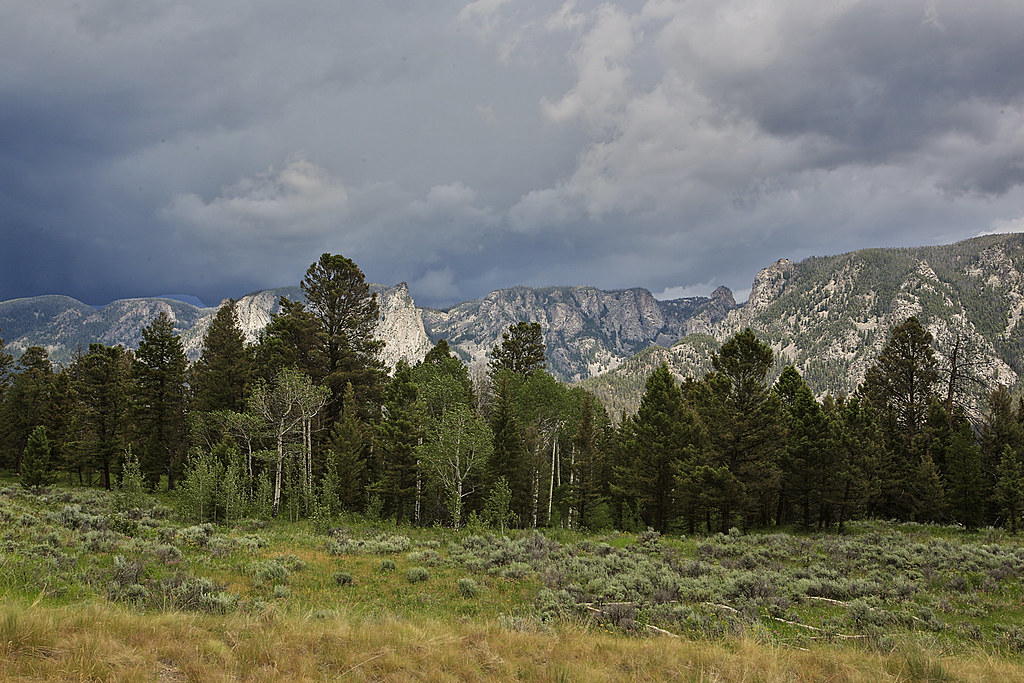
White Mountain and Sunlight Basin
Storm Over The Beartooth Plateau
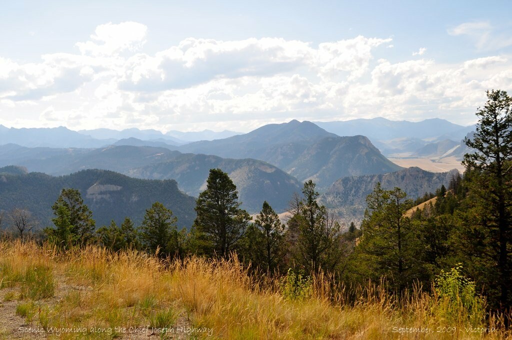
Chief Joseph Highway... Spectacular roadside scenery...
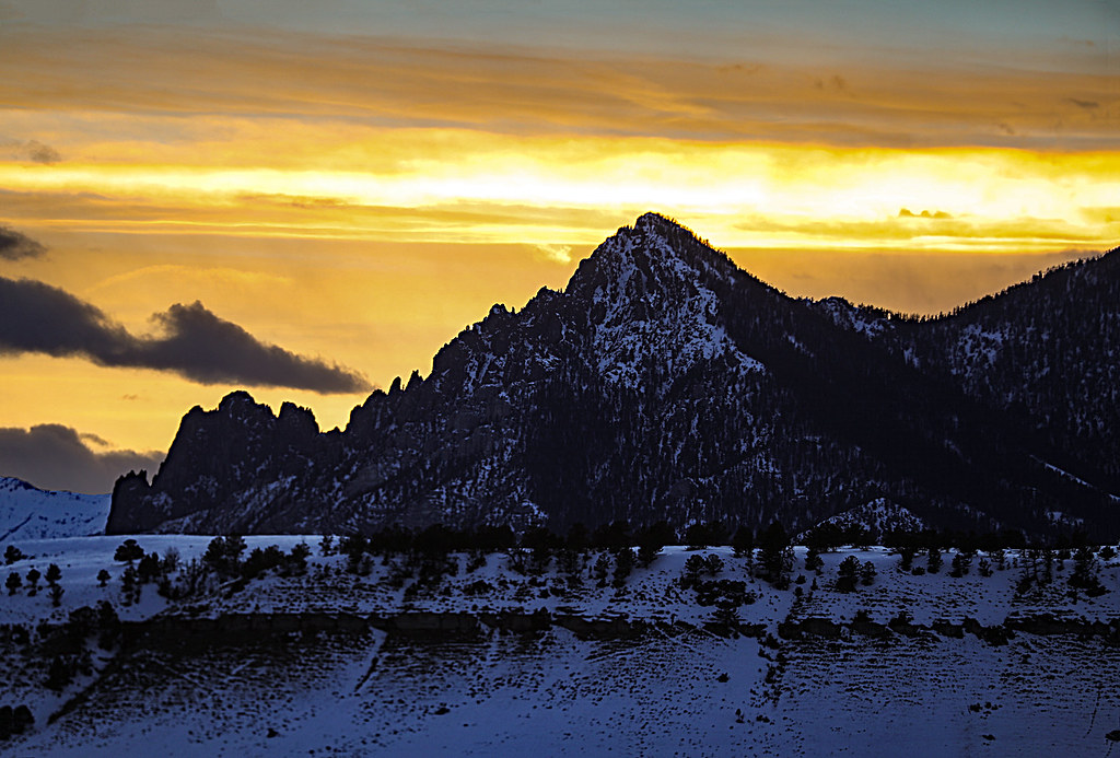
White Mountain At Sunset

Evening In The Absarokas

Red Rocks

Moon Rise Over Bald Ridge

Dead Indian Hill

Bright Lights At Dead Indian Creek

Heart Mountain
Chief Joseph Highway Between Dead Indian and Sunlight Creeks

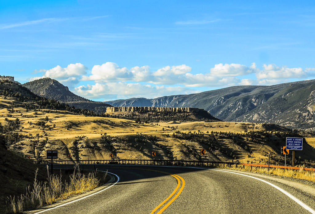
Chief Joseph Highway

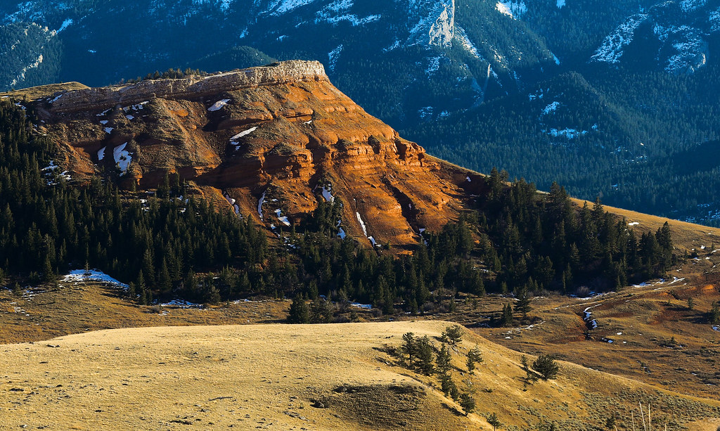
Red Beds

Antelope Mesa

Chief Joseph Scenic Highway

Antelope Mountain

Beartooth Plateau From Dead Indian Hill Overlook
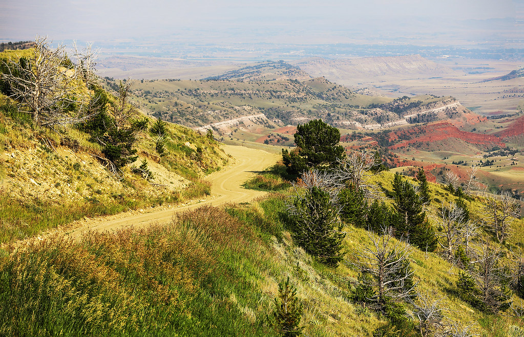
Monument Hill Road

Antelope Mesa Viewed from Chief Joseph Highway

Red Cuesta

Red Hogback

Bridging the Gap
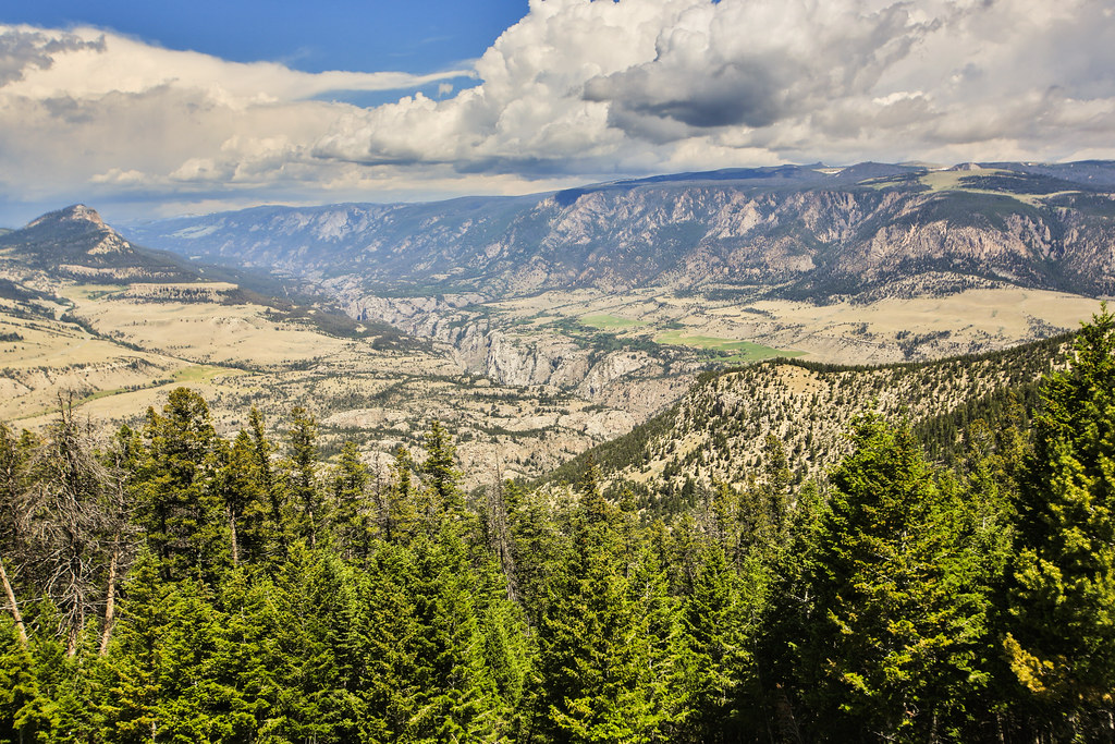
Clarks Fork Canyon

Dead Indian Pass - (Explored Dec. 6, 2016)

Looking Down In To Pat O'Hara Basin

Red Hogback on Blaine Creek
Topographic Map of Dead Indian Summit Overlook, Chief Joseph Hwy, Cody, WY, USA
Find elevation by address:

Places near Dead Indian Summit Overlook, Chief Joseph Hwy, Cody, WY, USA:
140 Sunlight Rd
85 The Way West Rd
Park County
Sawtooth Mountain
52 Moore Rd
86 Wapiti Heights Dr
86 Wapiti Heights Dr
59 Wapiti Heights Dr
1 Streamside Dr
2823 Us-212
540 Stagecoach Trail
Buffalo Bill State Park
179 Stagecoach Trail
36 Haman Mccall Trail
N Fork Hwy, Cody, WY, USA
Rd 1Ab, Powell, WY, USA
The Wall
Wapiti
86 N Wapiti Estates Drives
29 Pack Saddle Trail
Recent Searches:
- Elevation of Corso Fratelli Cairoli, 35, Macerata MC, Italy
- Elevation of Tallevast Rd, Sarasota, FL, USA
- Elevation of 4th St E, Sonoma, CA, USA
- Elevation of Black Hollow Rd, Pennsdale, PA, USA
- Elevation of Oakland Ave, Williamsport, PA, USA
- Elevation of Pedrógão Grande, Portugal
- Elevation of Klee Dr, Martinsburg, WV, USA
- Elevation of Via Roma, Pieranica CR, Italy
- Elevation of Tavkvetili Mountain, Georgia
- Elevation of Hartfords Bluff Cir, Mt Pleasant, SC, USA