Elevation of Rd 1Ab, Powell, WY, USA
Location: United States > Wyoming > Park County > Powell >
Longitude: -109.15148
Latitude: 44.90085
Elevation: 1287m / 4222feet
Barometric Pressure: 87KPa
Elevation Map:
Satellite Map:
Related Photos:
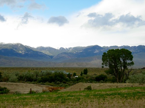
Wyoming roadside
(Beartooth) Highway don't care
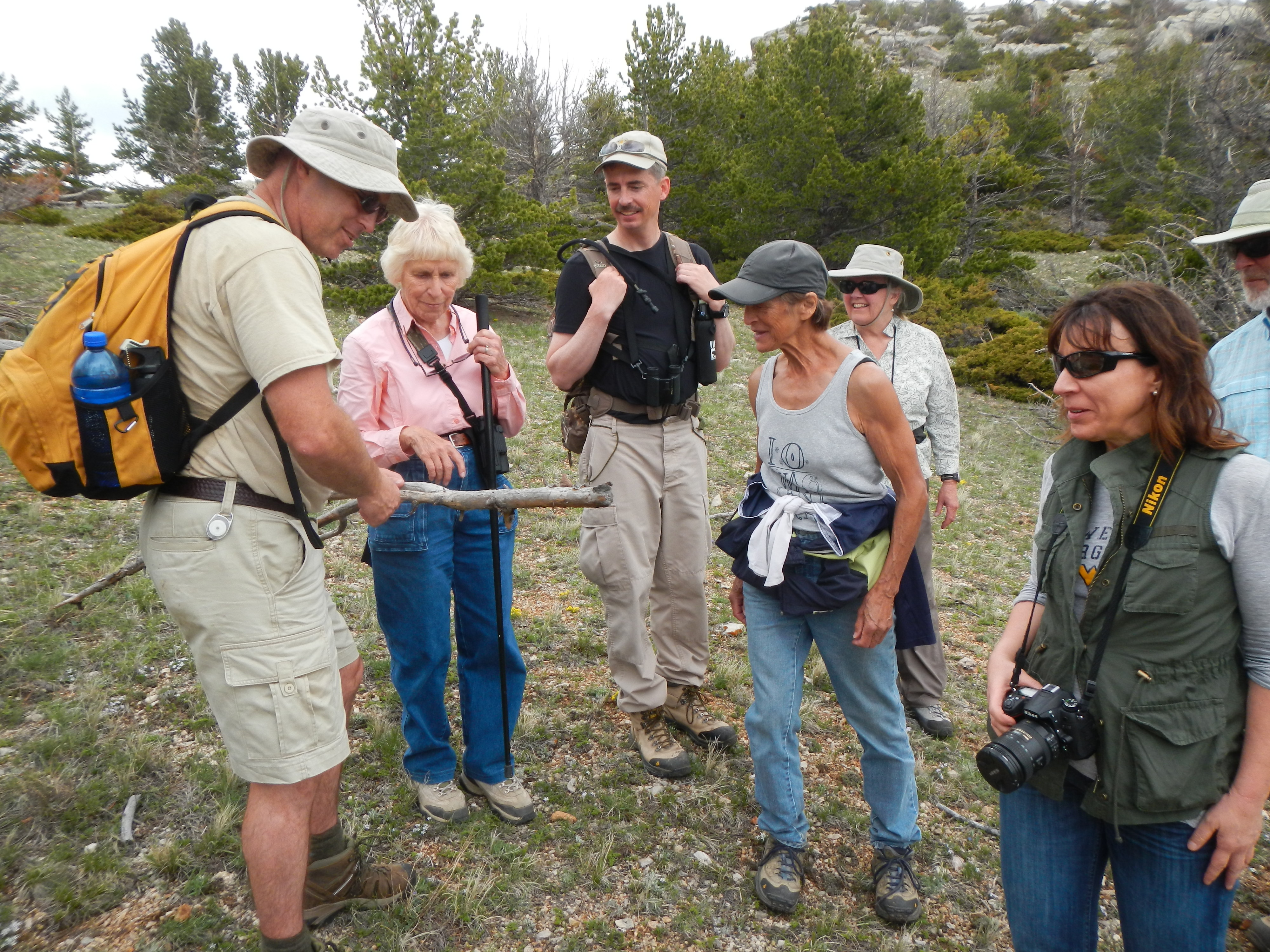
Connecting People to Their Public Lands
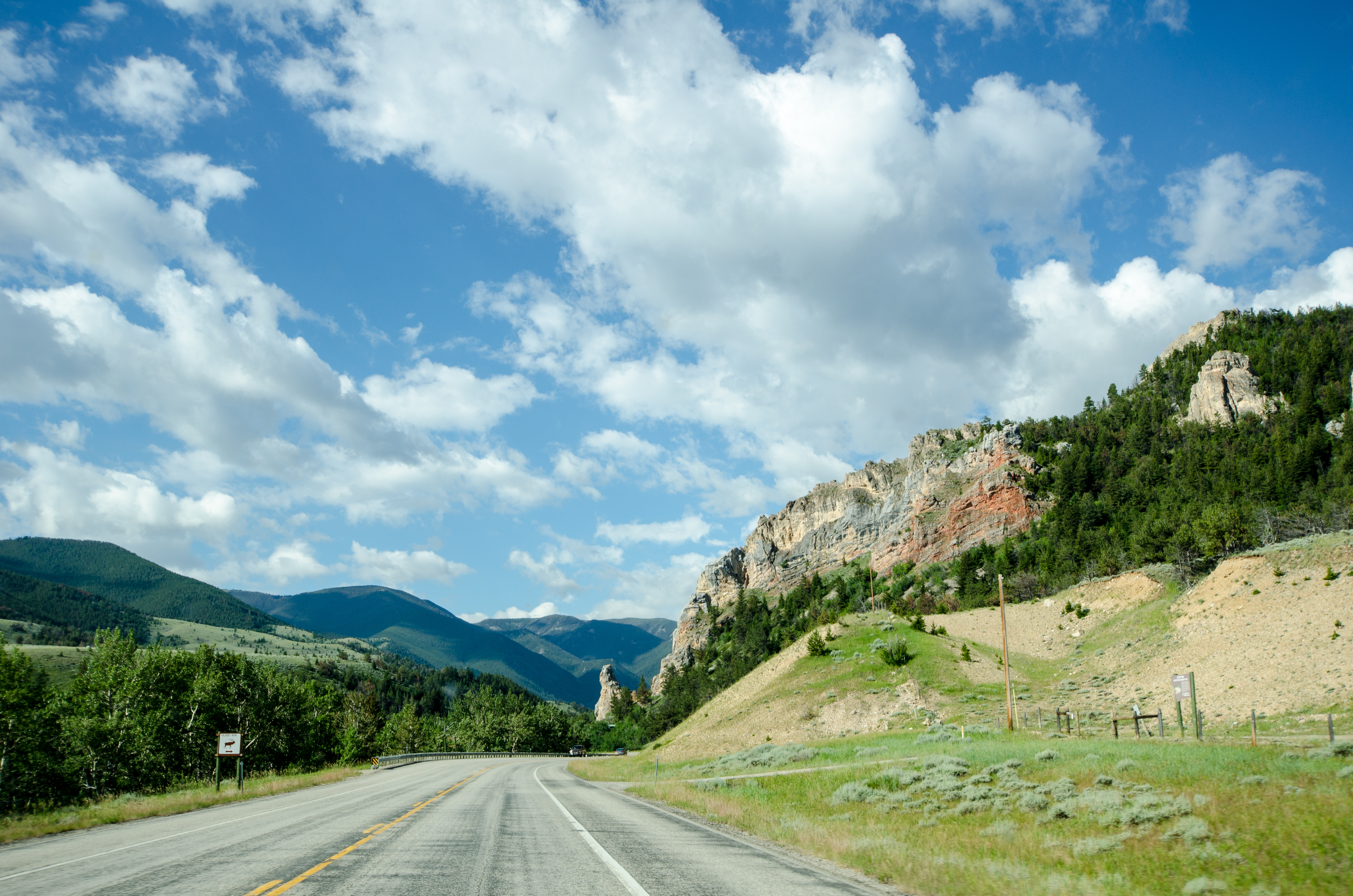
On the Beartooth Highway
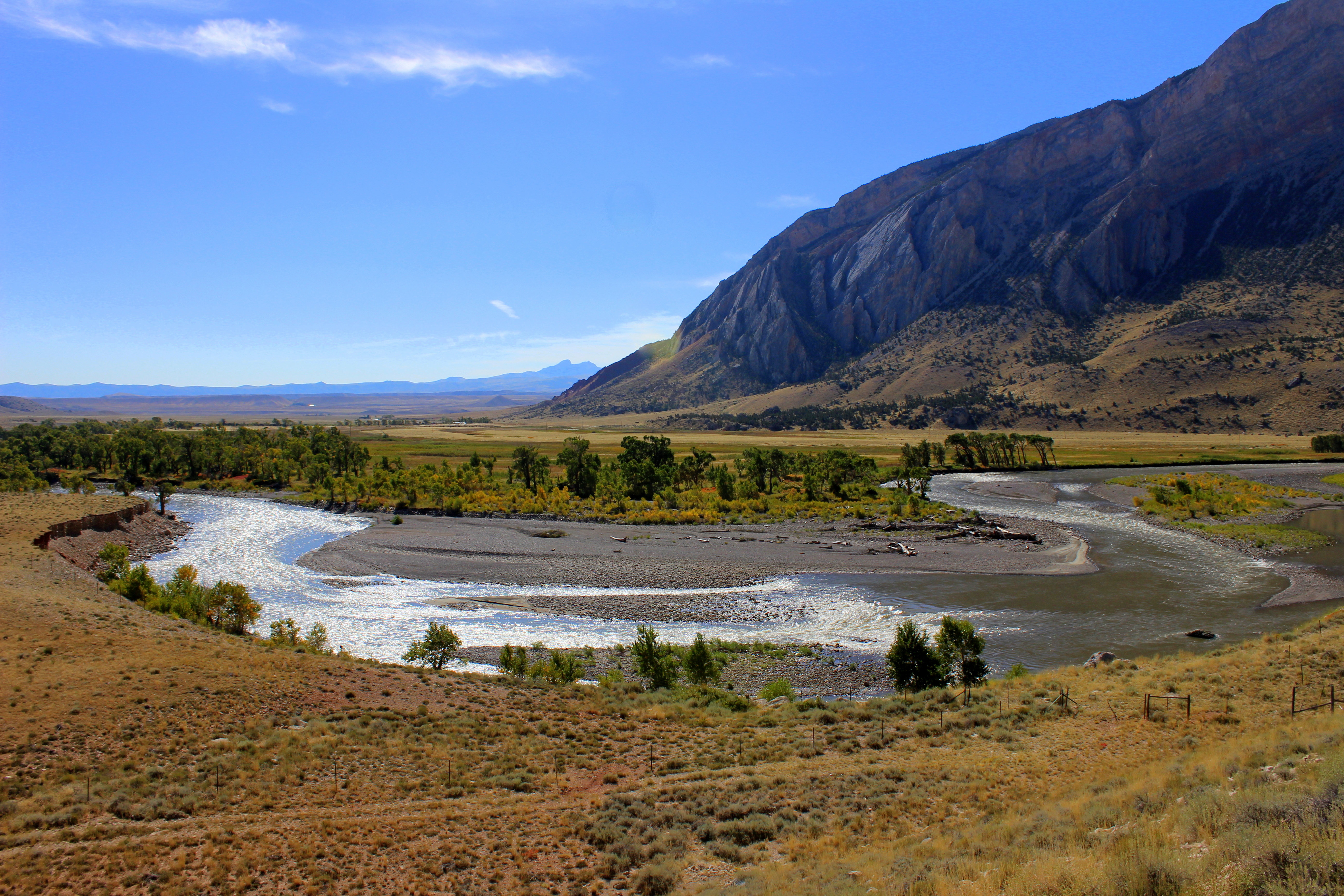
Clark's Fork Bend
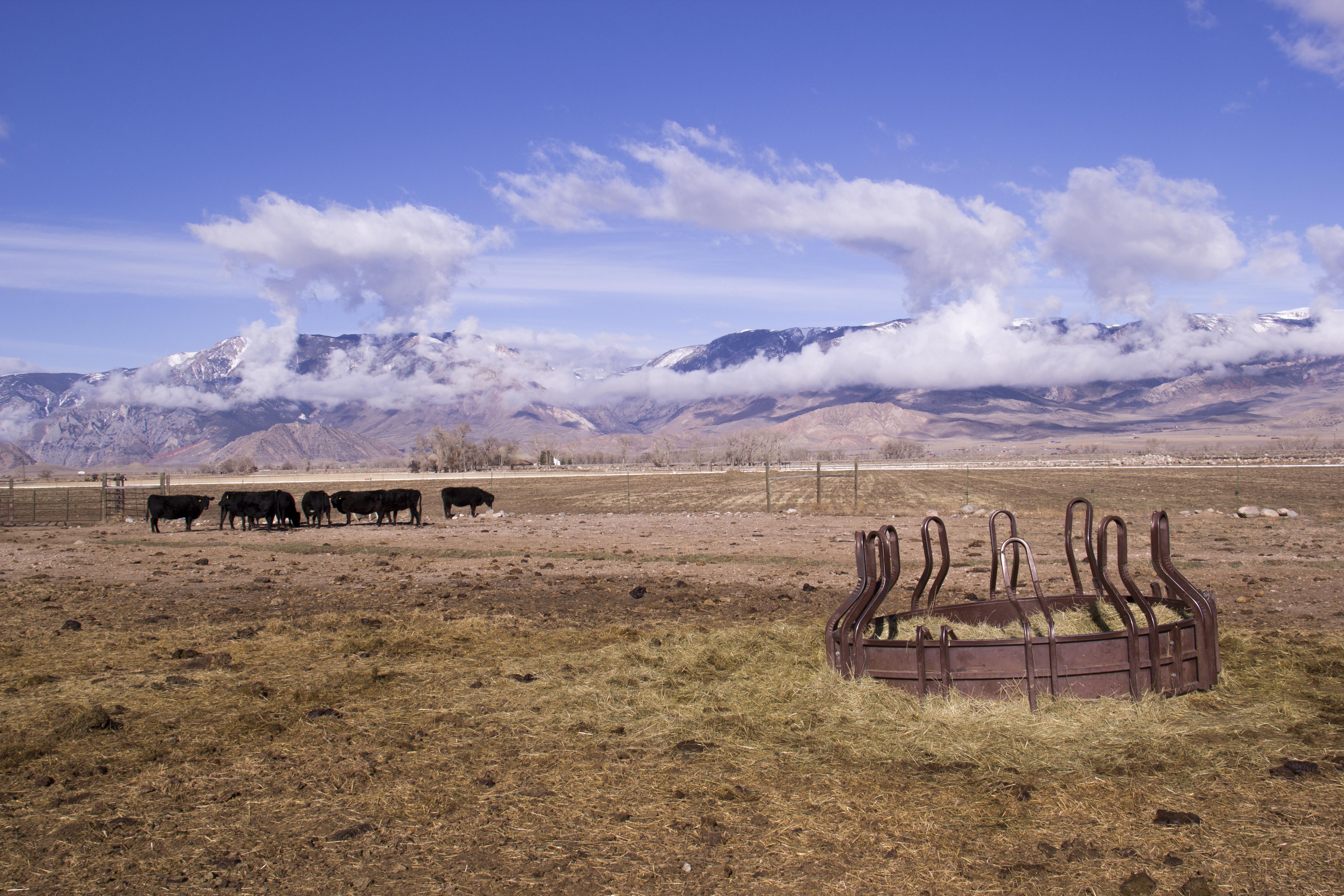
Open Range

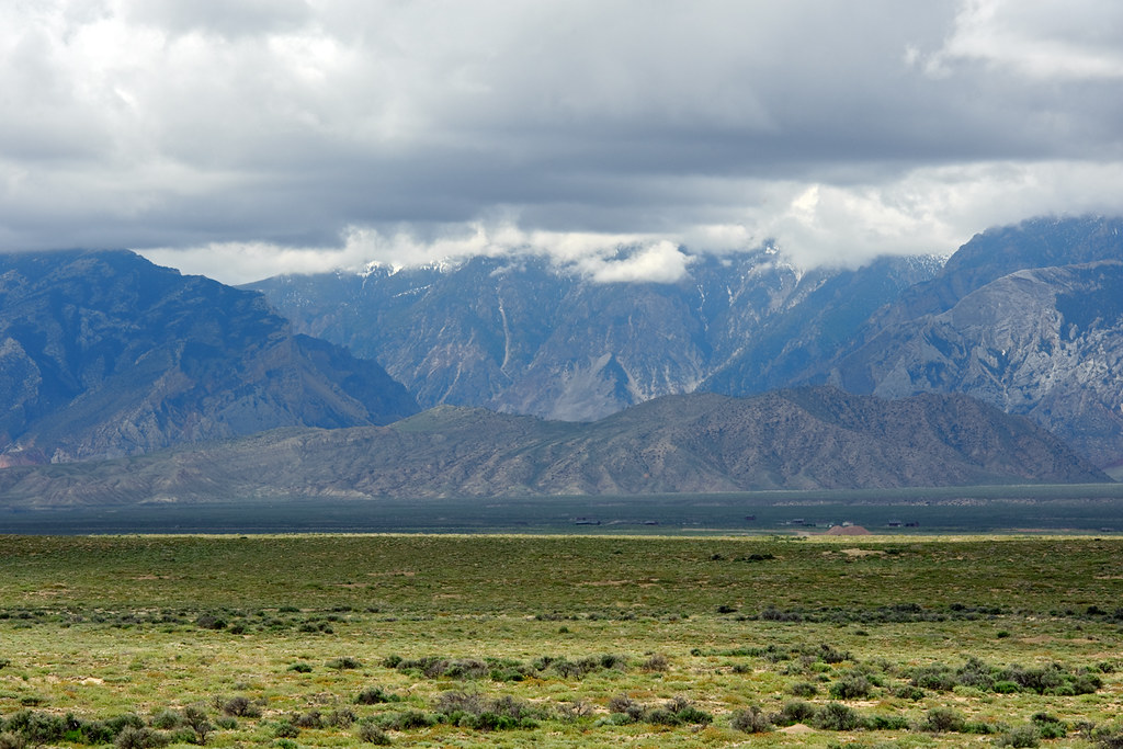
Beartooth Mountains
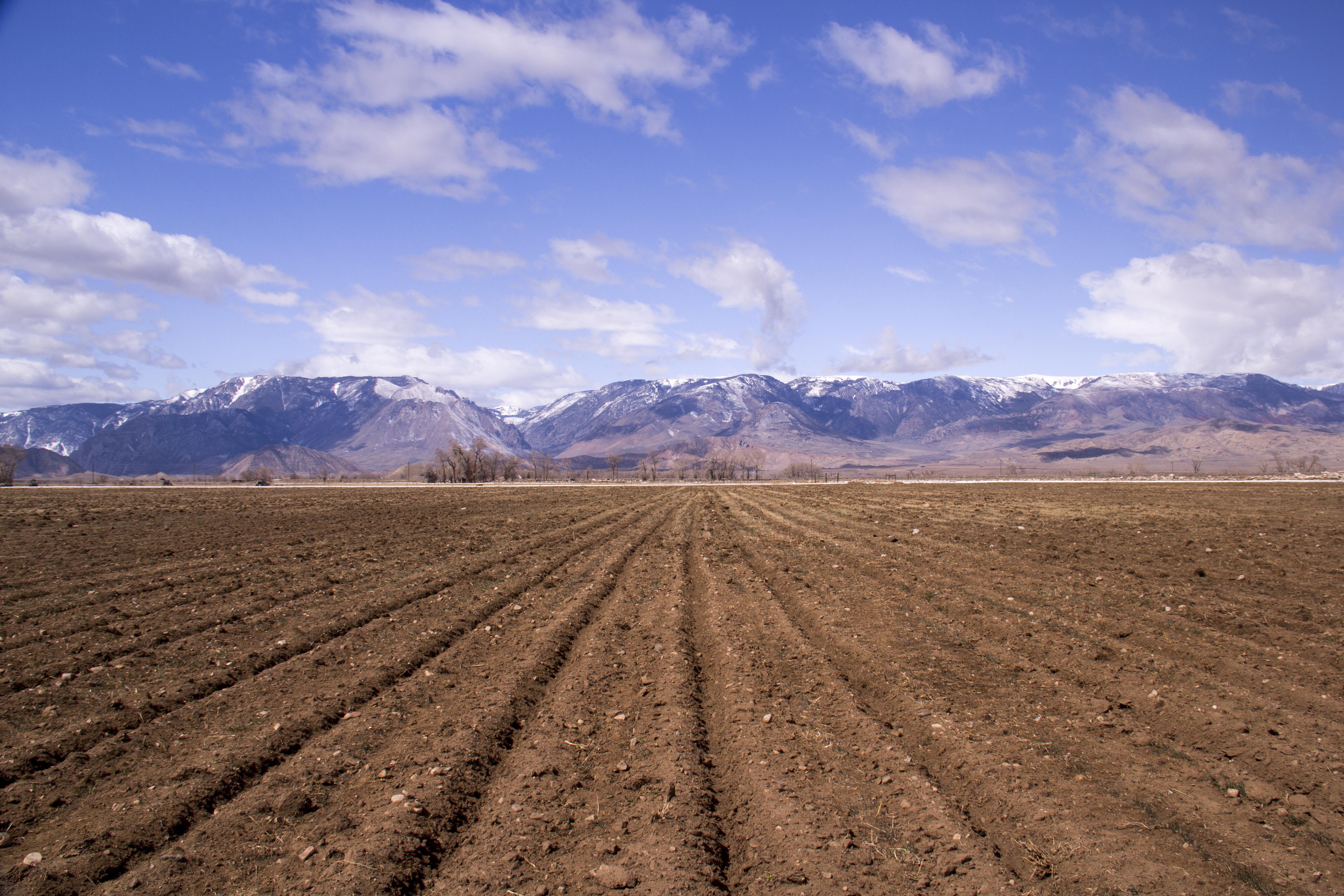
Ready for Irrigation
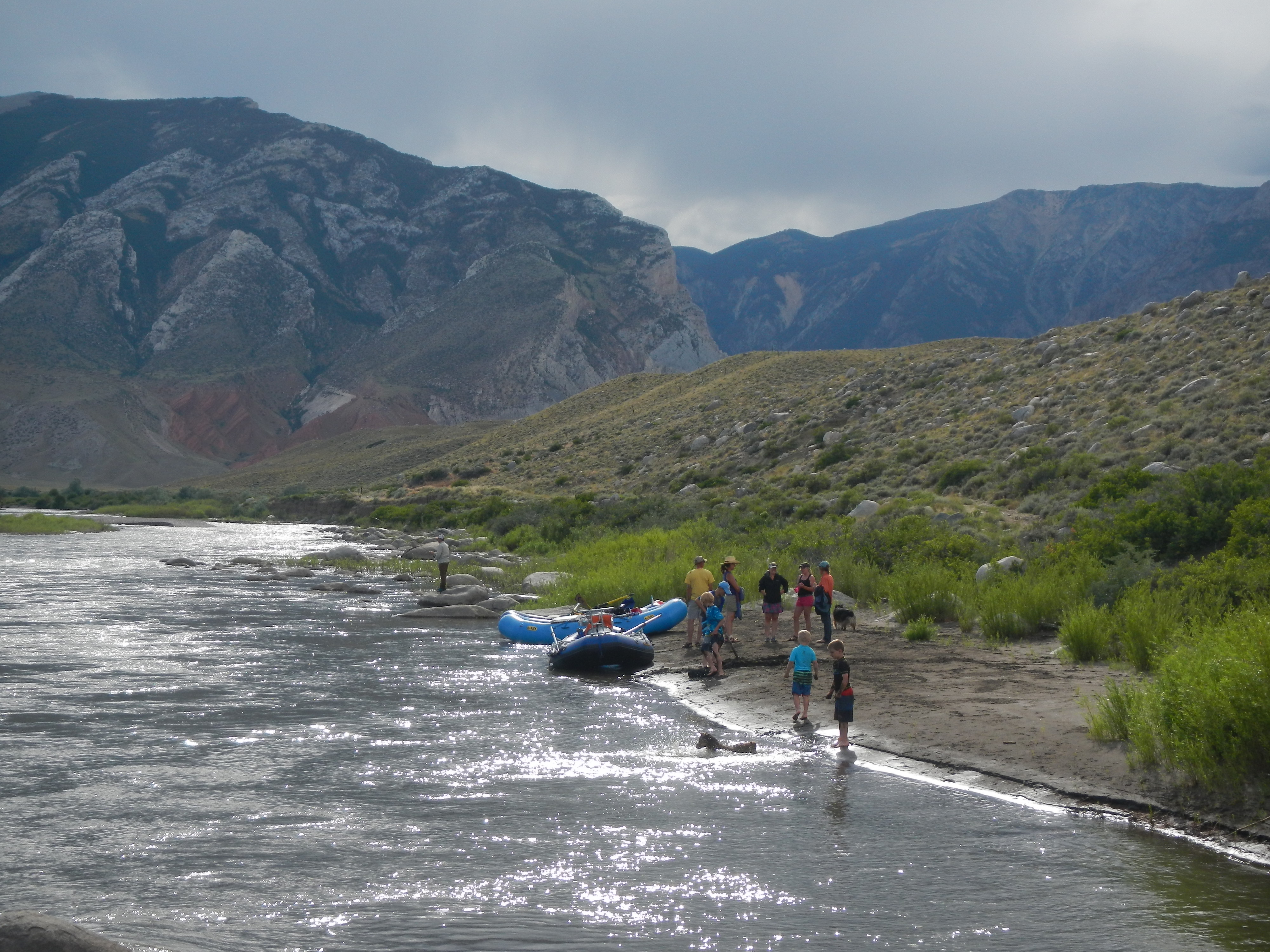
#mypubliclandsroadtrip 2016: Places to Drop a Line, Shoshone River
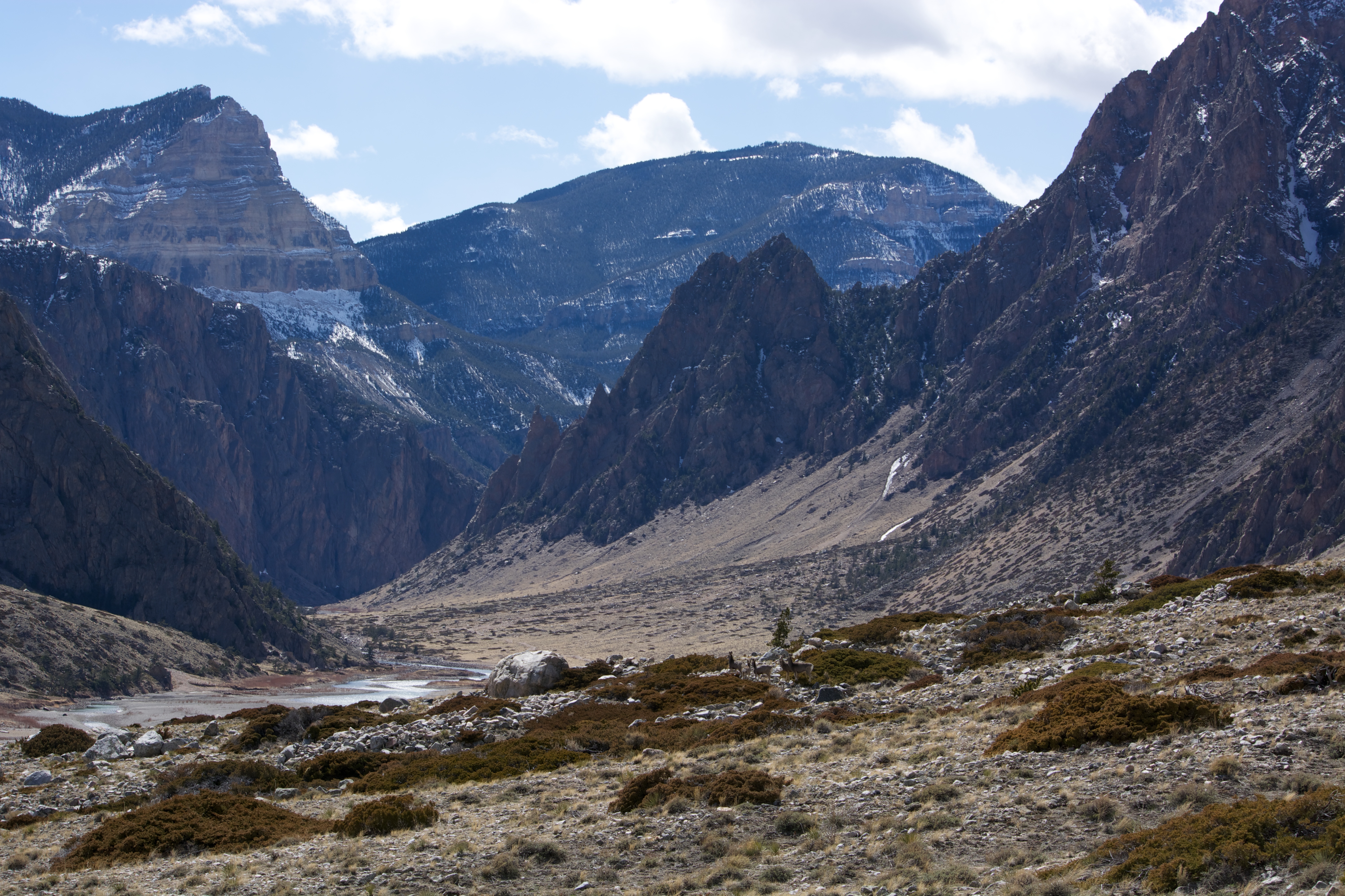
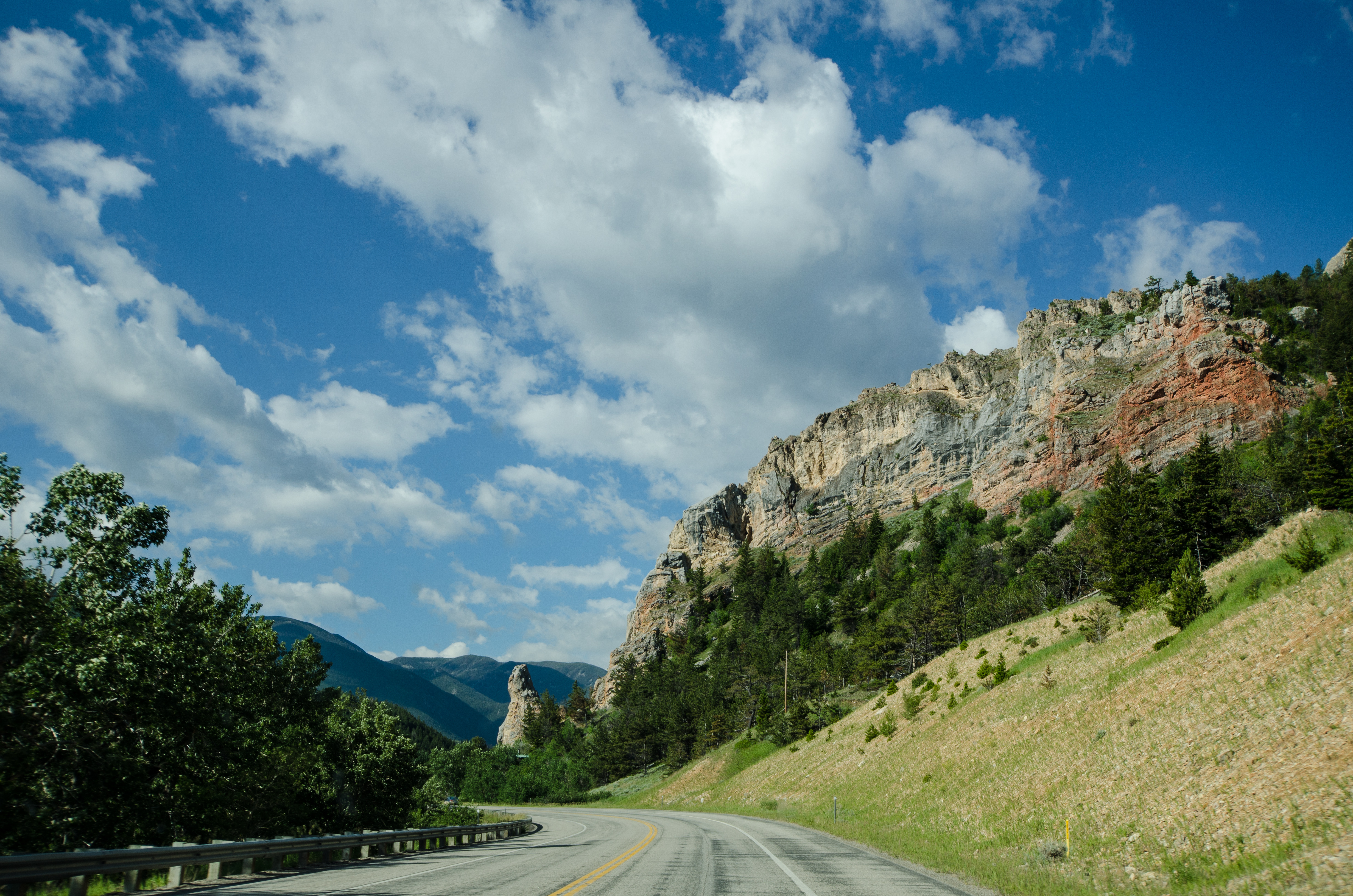
Clarks Fork Canyon
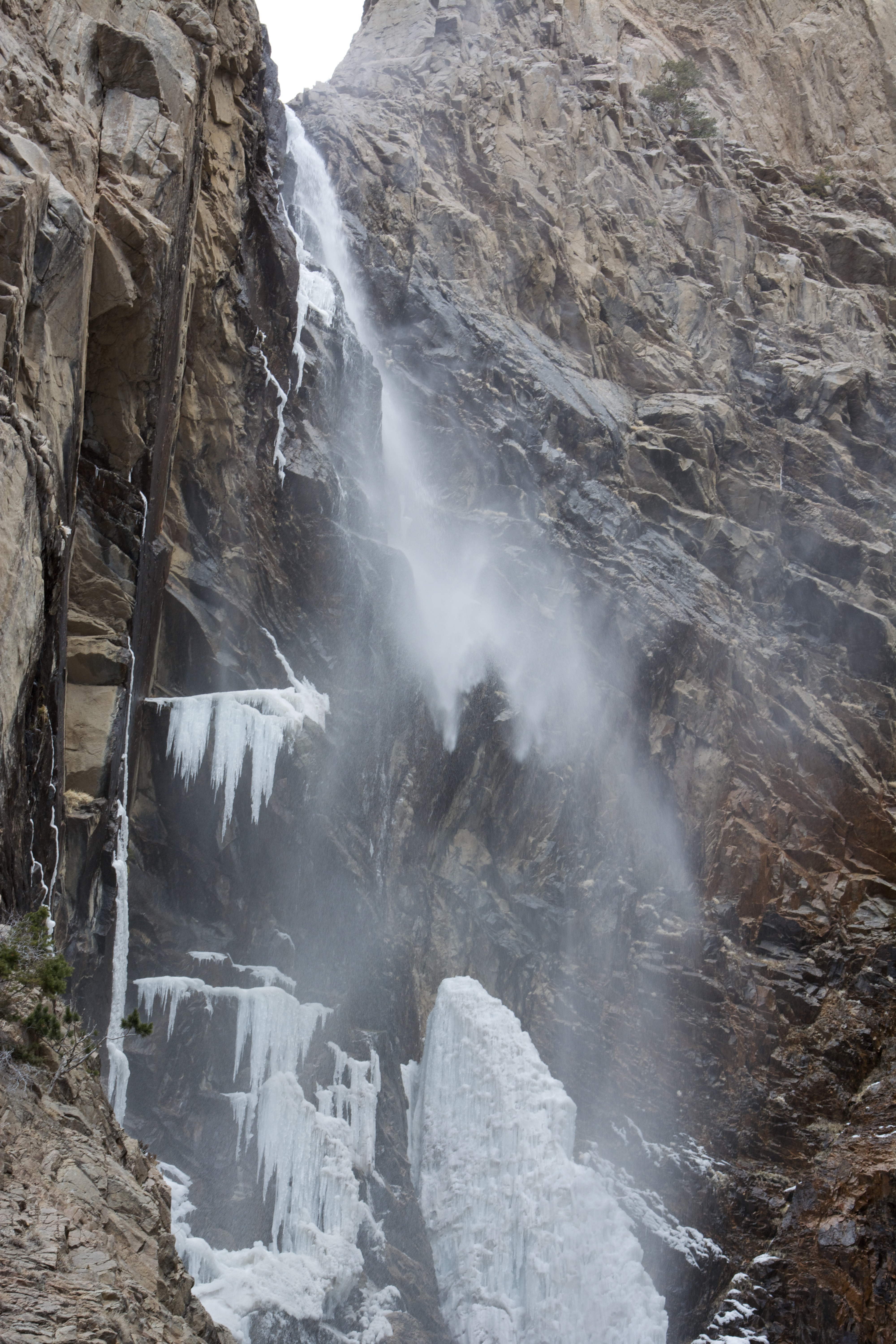
bridal veil falls
clarks fork river
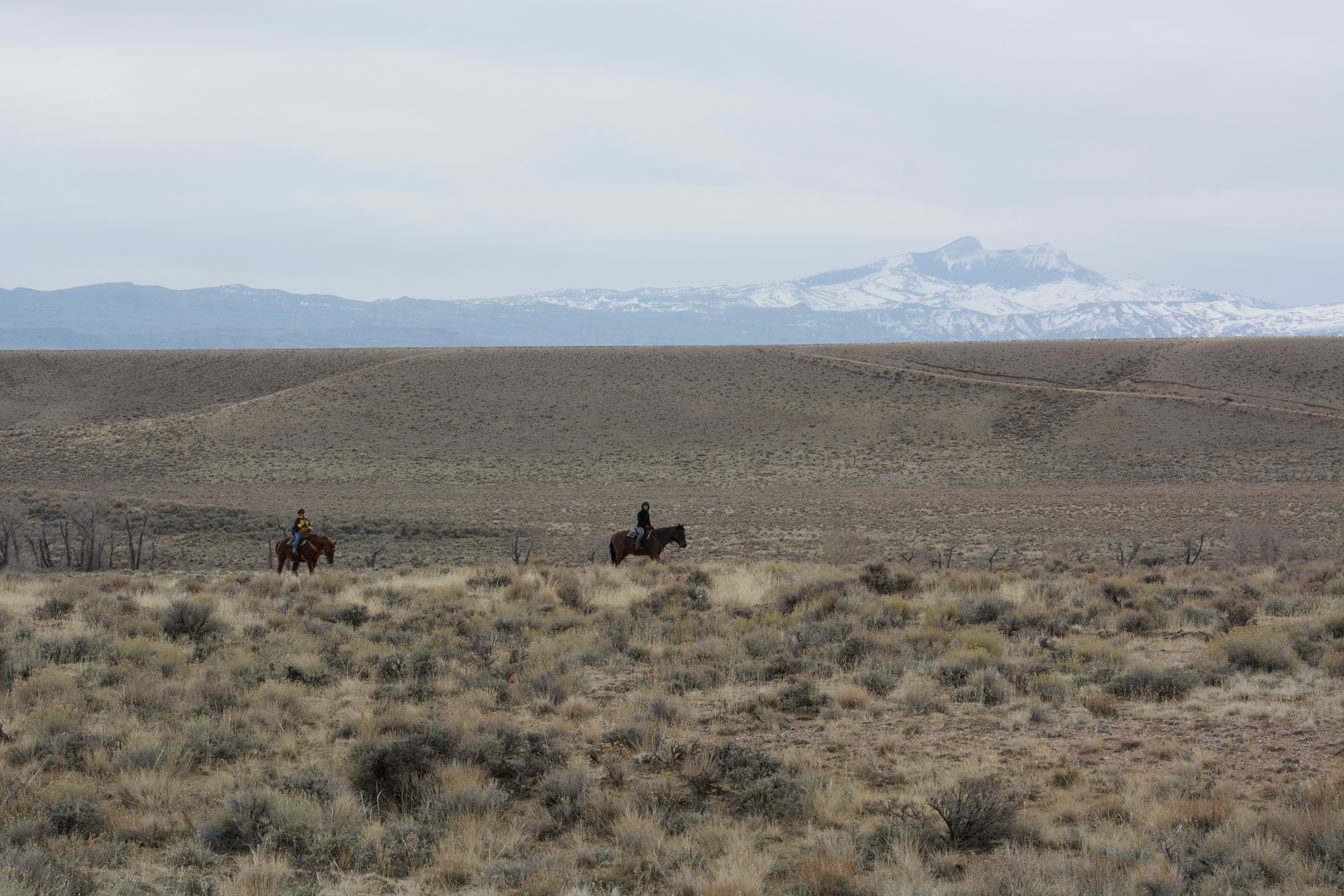
horse back ride
Beautiful Morning

Spring Icicles
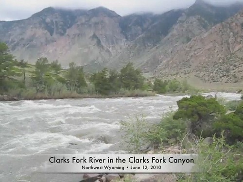
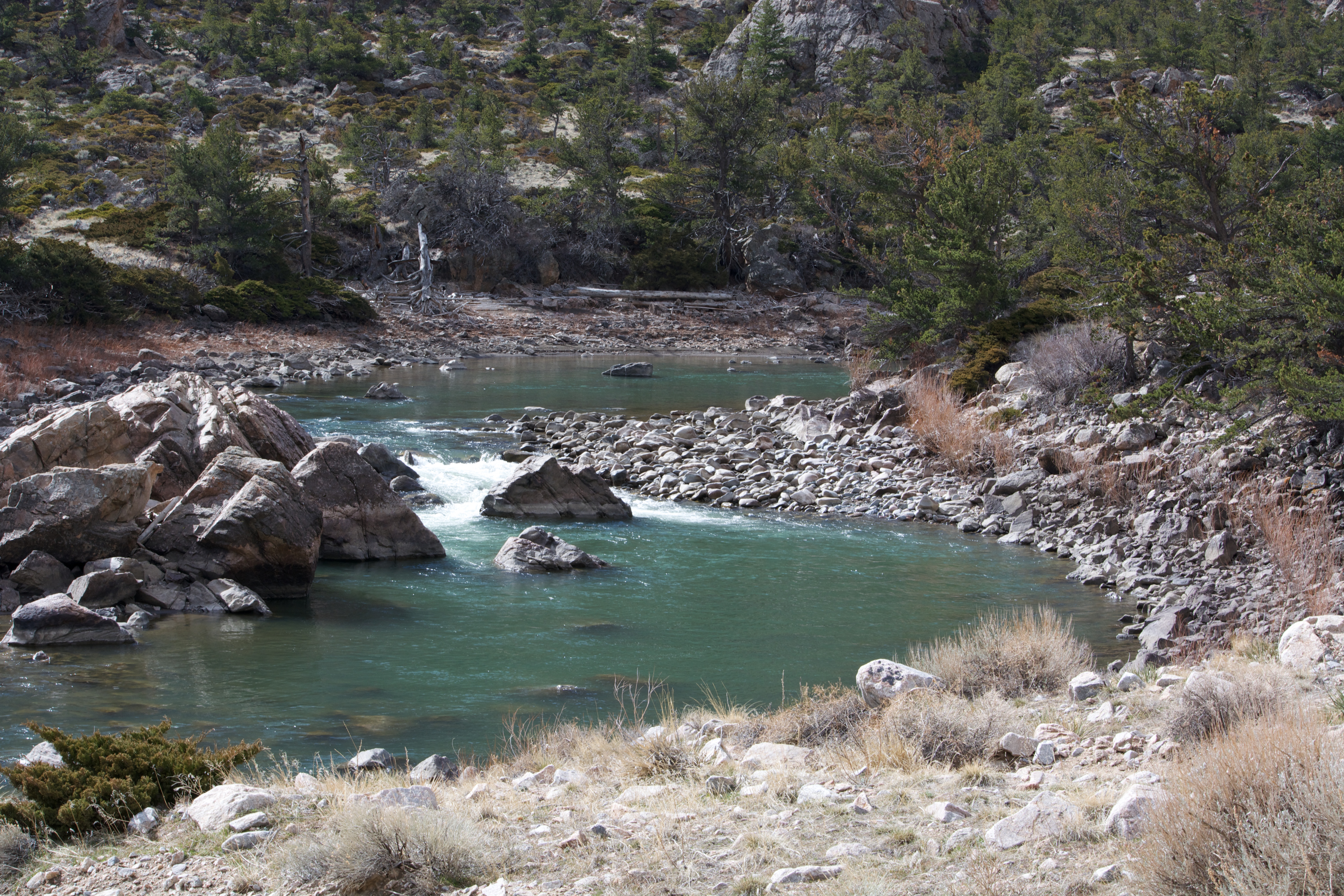
Clarks Fork River
Topographic Map of Rd 1Ab, Powell, WY, USA
Find elevation by address:

Places near Rd 1Ab, Powell, WY, USA:
52 Moore Rd
Badger Basin
Dead Indian Summit Overlook
Sawtooth Mountain
Powell Hwy, Powell, WY, USA
1757 Eaglenest Trail
85 The Way West Rd
140 Sunlight Rd
Main St, Burlington, WY, USA
4727 Powell Hwy
Park County
1338 Monument St
Valley Federal Credit Union
Cody
17 Horner Dr
232 W Yellowstone Ave
West Yellowstone Avenue
1815 8th St
3528 Cottonwood Ave
Carter Mountain Motel
Recent Searches:
- Elevation of Corso Fratelli Cairoli, 35, Macerata MC, Italy
- Elevation of Tallevast Rd, Sarasota, FL, USA
- Elevation of 4th St E, Sonoma, CA, USA
- Elevation of Black Hollow Rd, Pennsdale, PA, USA
- Elevation of Oakland Ave, Williamsport, PA, USA
- Elevation of Pedrógão Grande, Portugal
- Elevation of Klee Dr, Martinsburg, WV, USA
- Elevation of Via Roma, Pieranica CR, Italy
- Elevation of Tavkvetili Mountain, Georgia
- Elevation of Hartfords Bluff Cir, Mt Pleasant, SC, USA