Elevation of Badger Basin, Wyoming, USA
Location: United States > Wyoming > Park County > Powell >
Longitude: -109.0923669
Latitude: 44.9213371
Elevation: 1277m / 4190feet
Barometric Pressure: 0KPa
Related Photos:
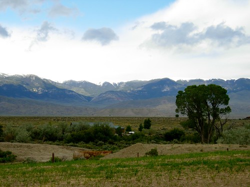
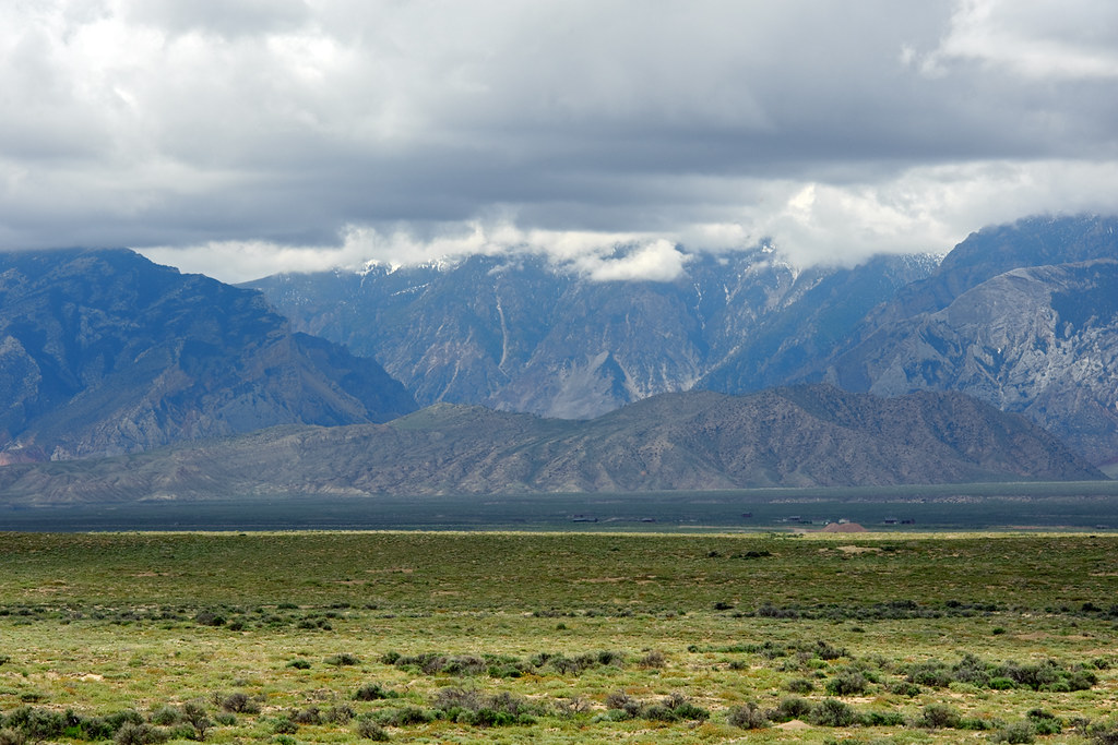
Wyoming roadside
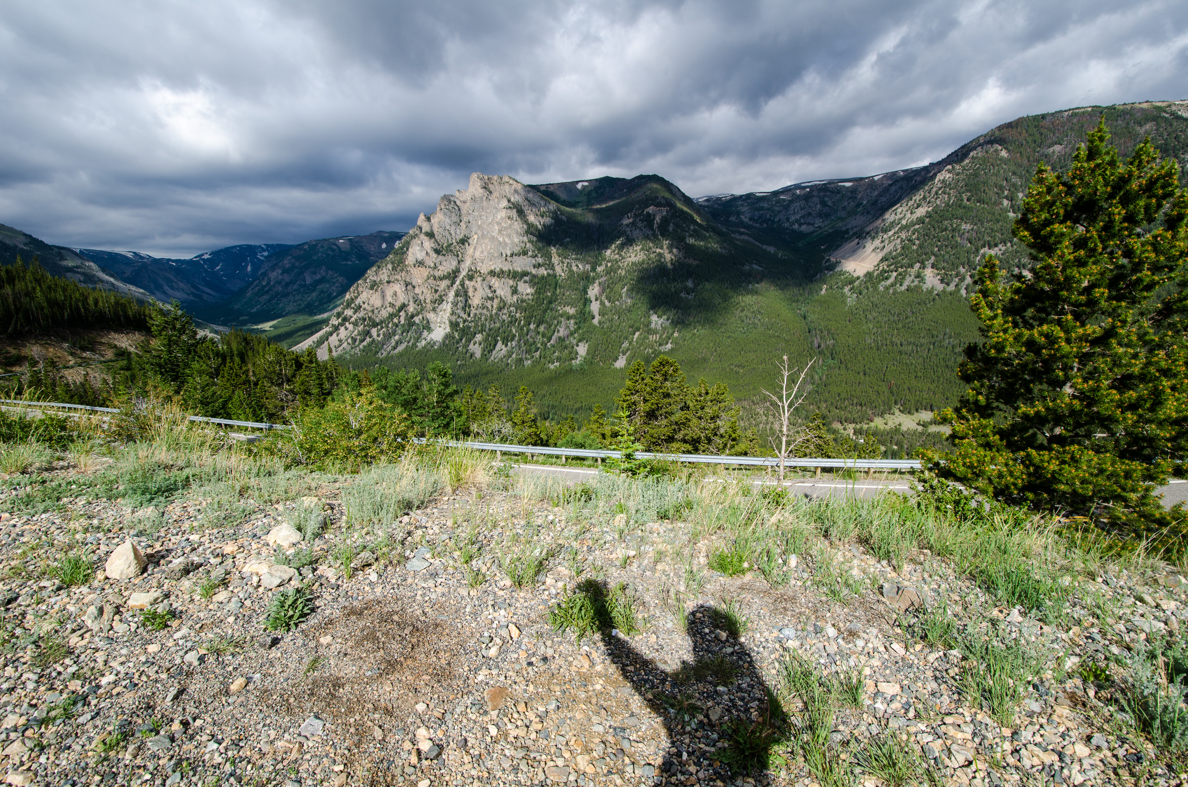
Beartooth Highway + My Shadow
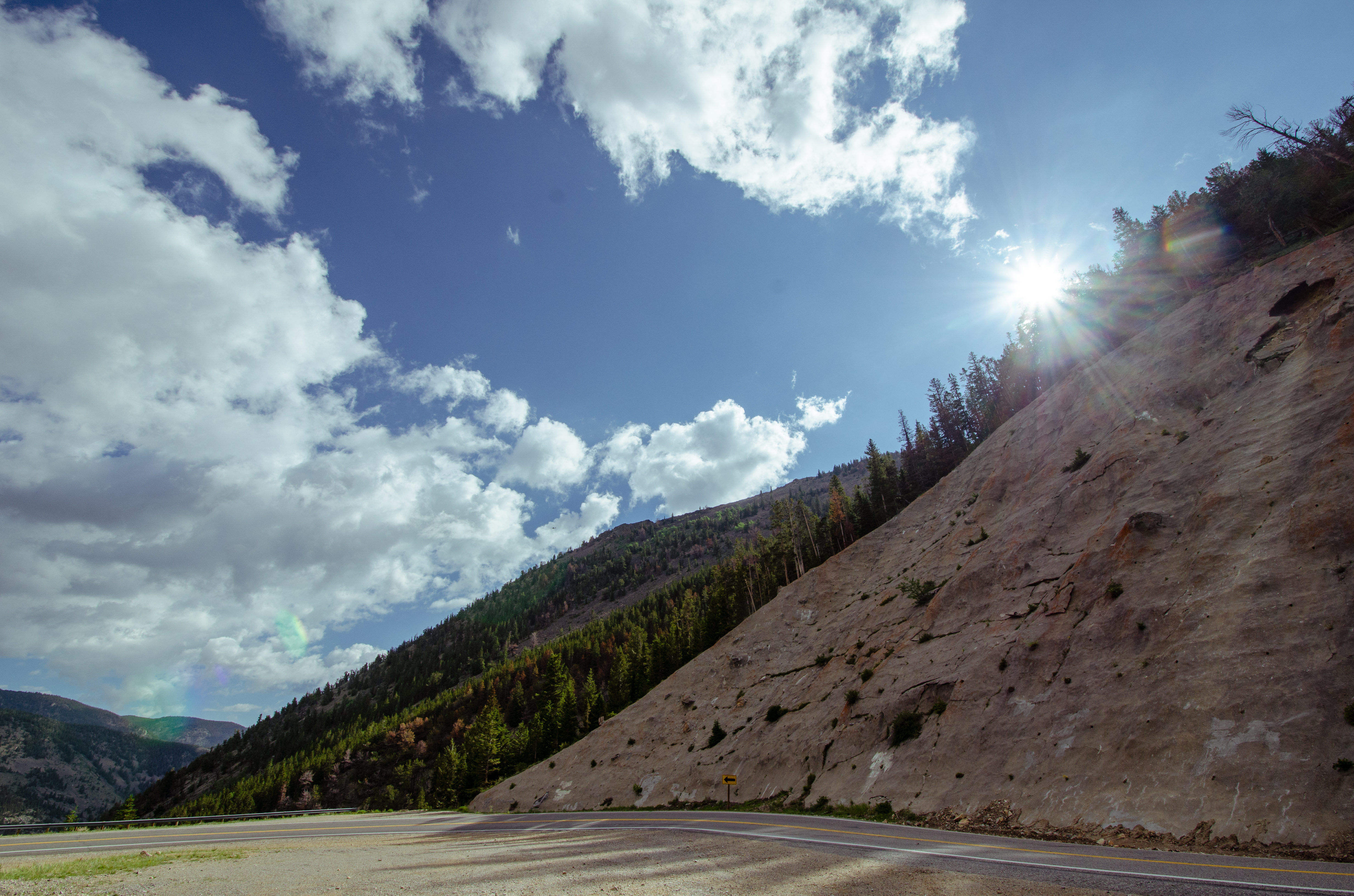
Beartooth Pass - Sunflare over a mountain
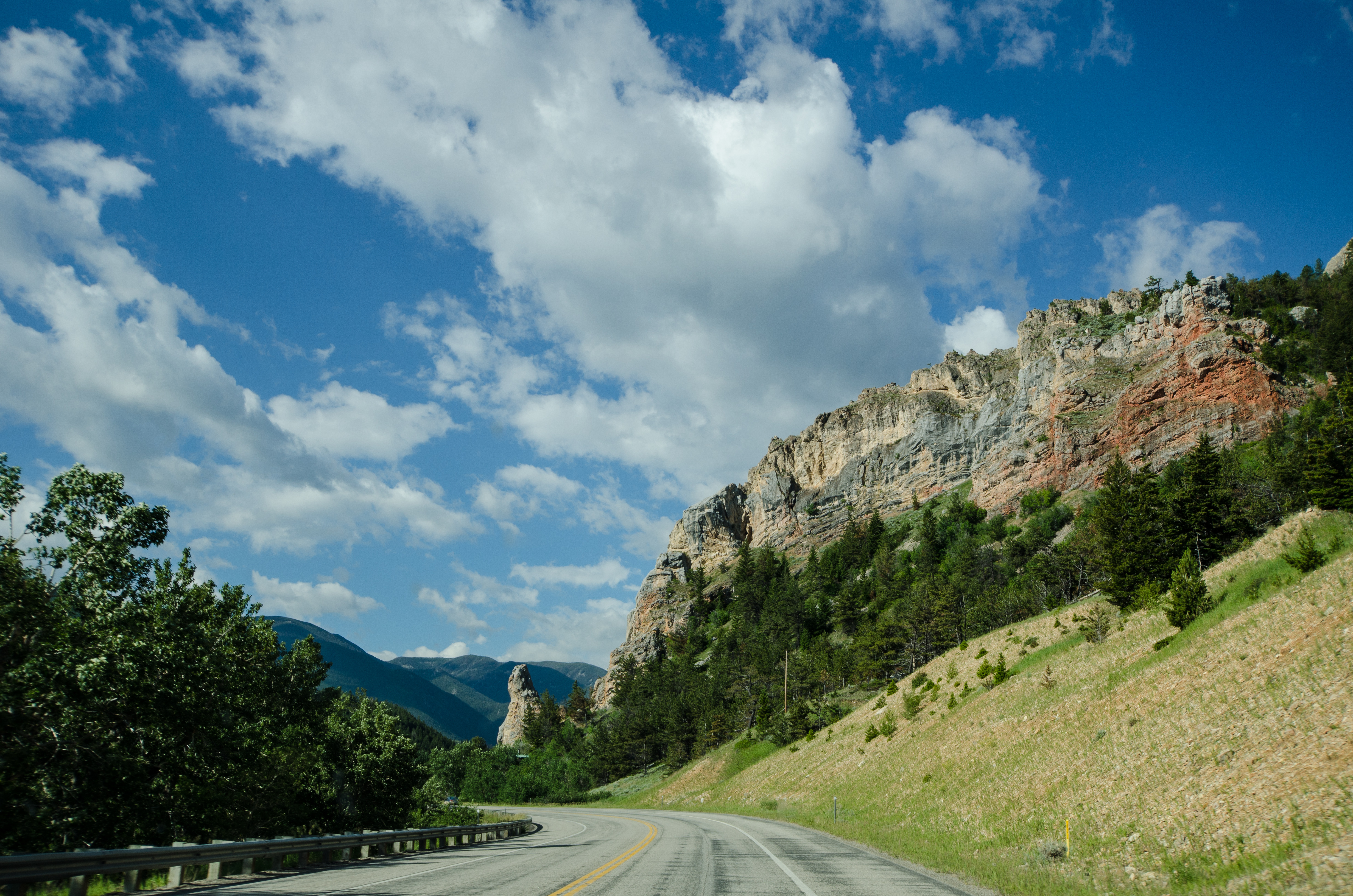
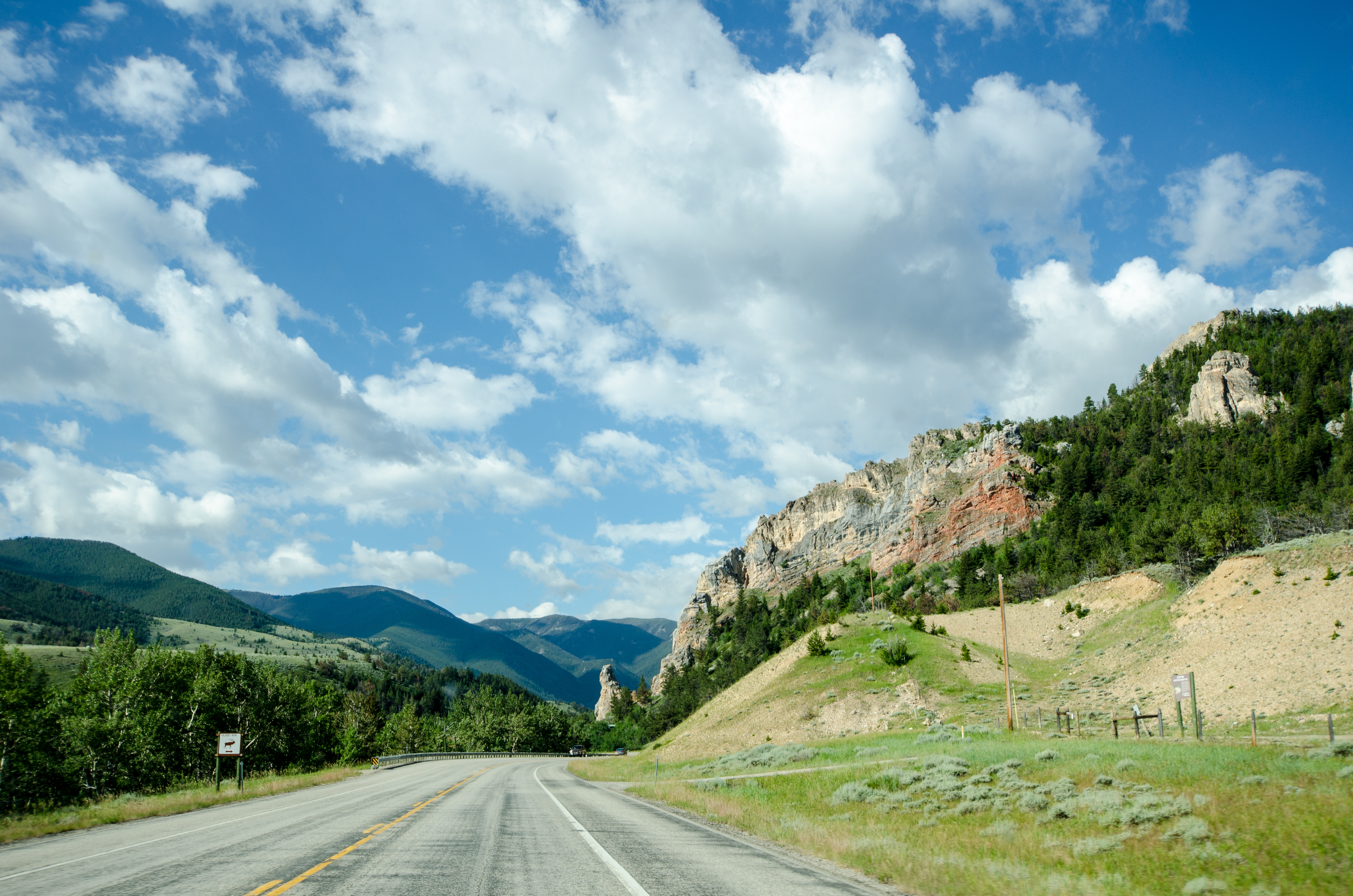
On the Beartooth Highway
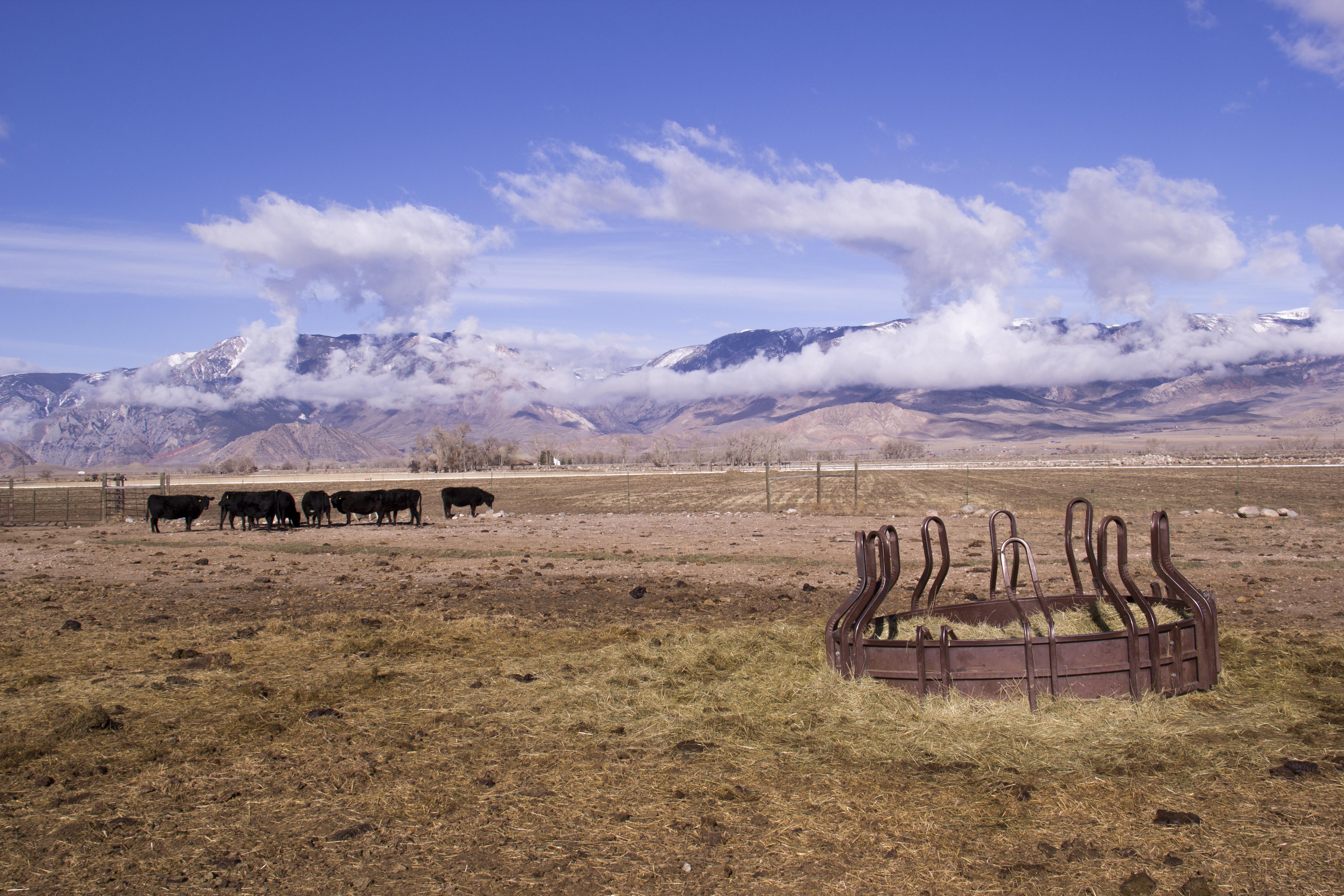
Open Range
(Beartooth) Highway don't care

Beartooth Mountains
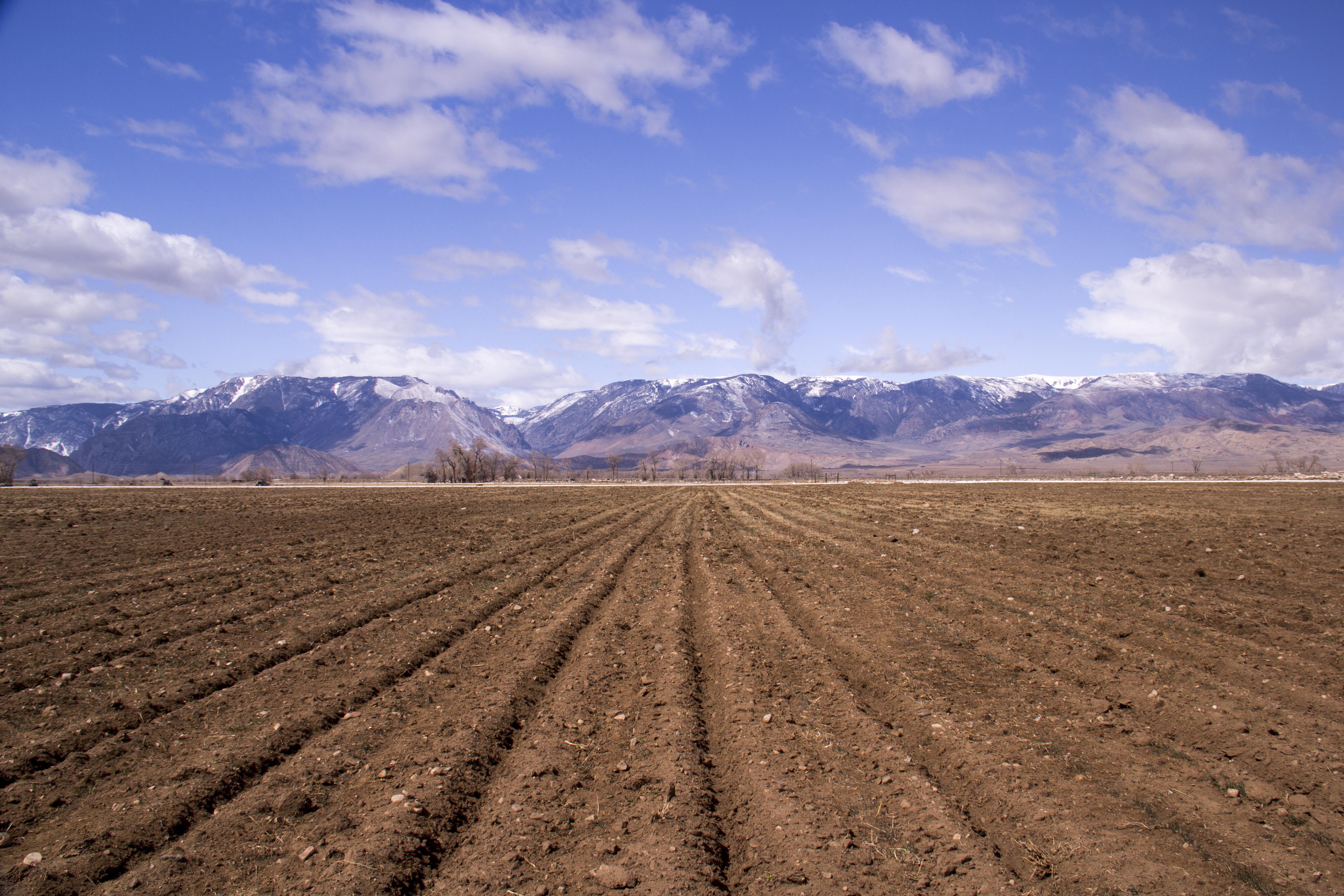
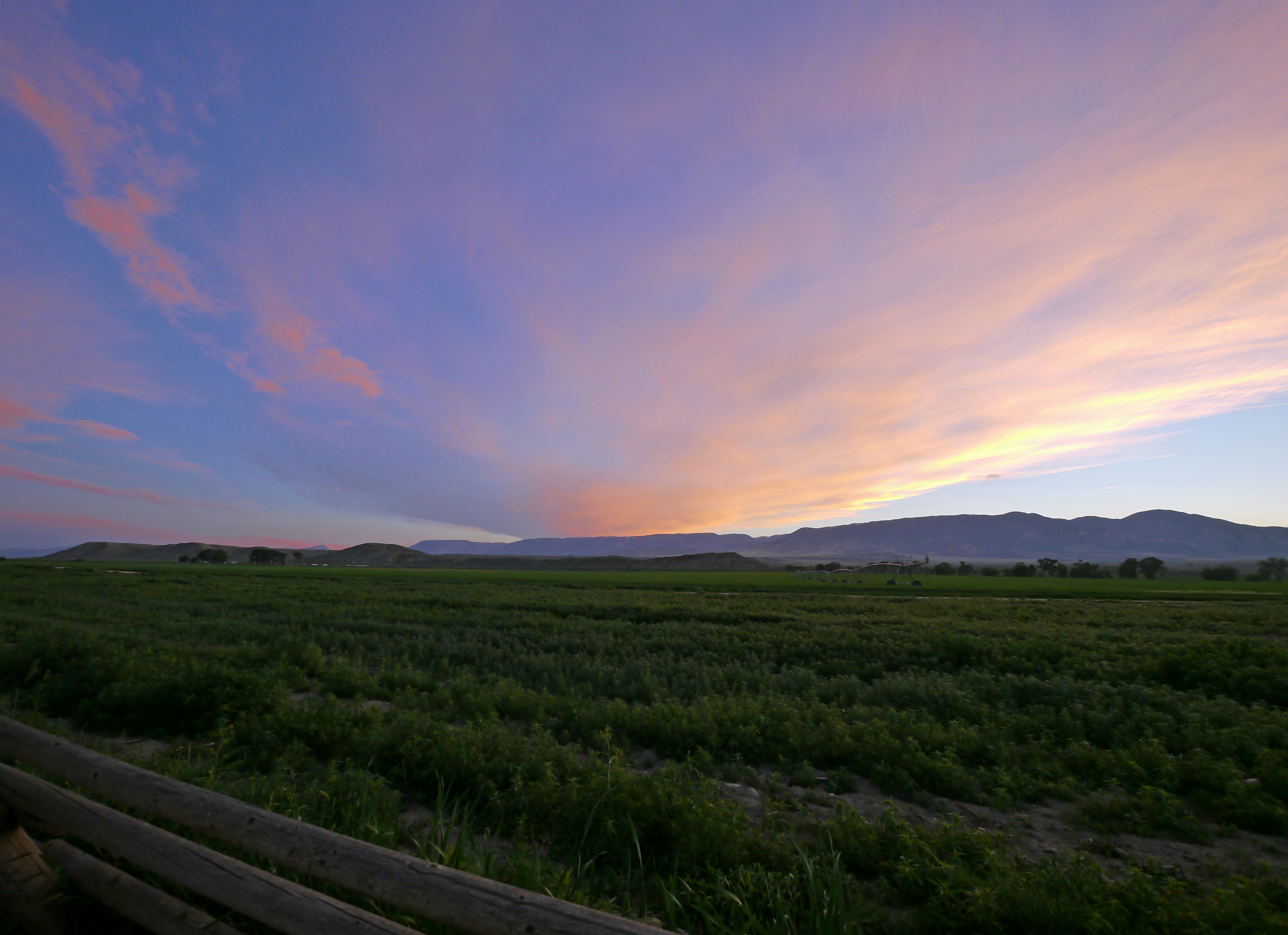
Ready for Irrigation
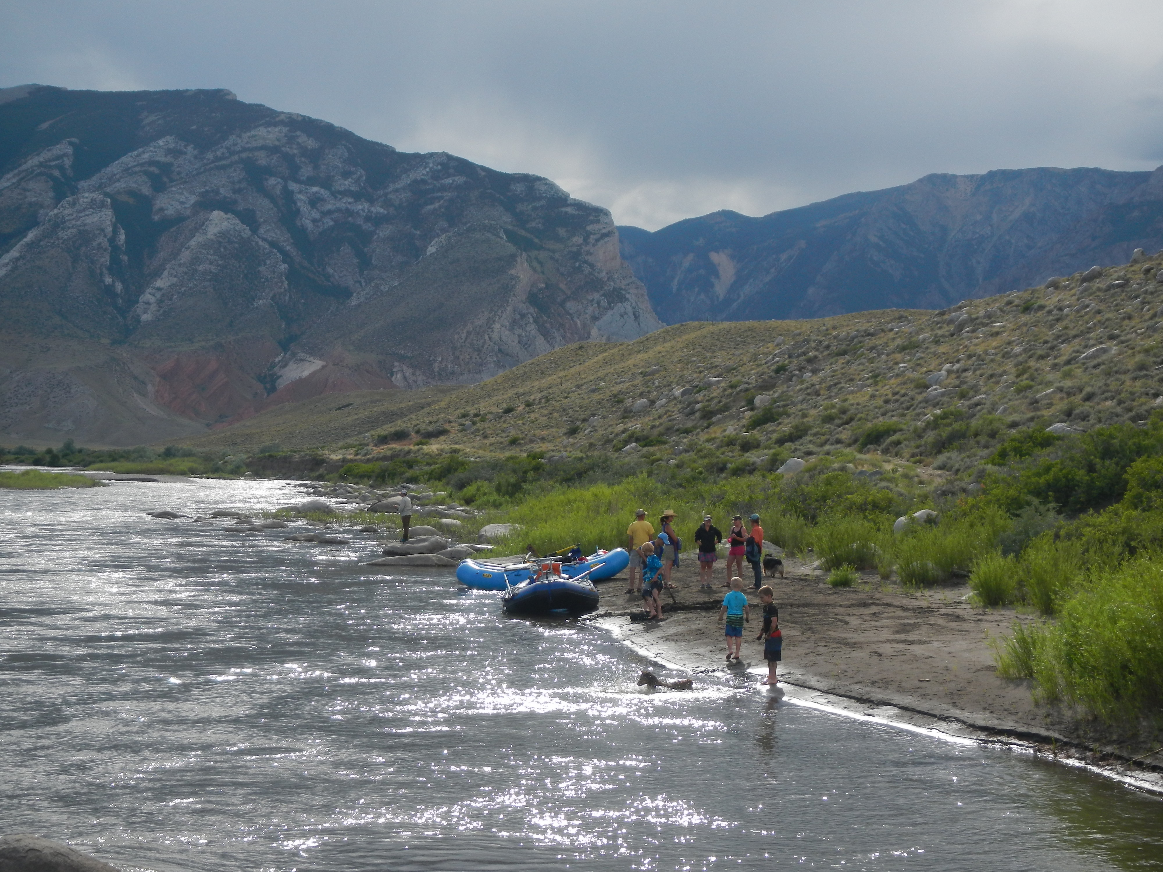
#mypubliclandsroadtrip 2016: Places to Drop a Line, Shoshone River
Montana sunset
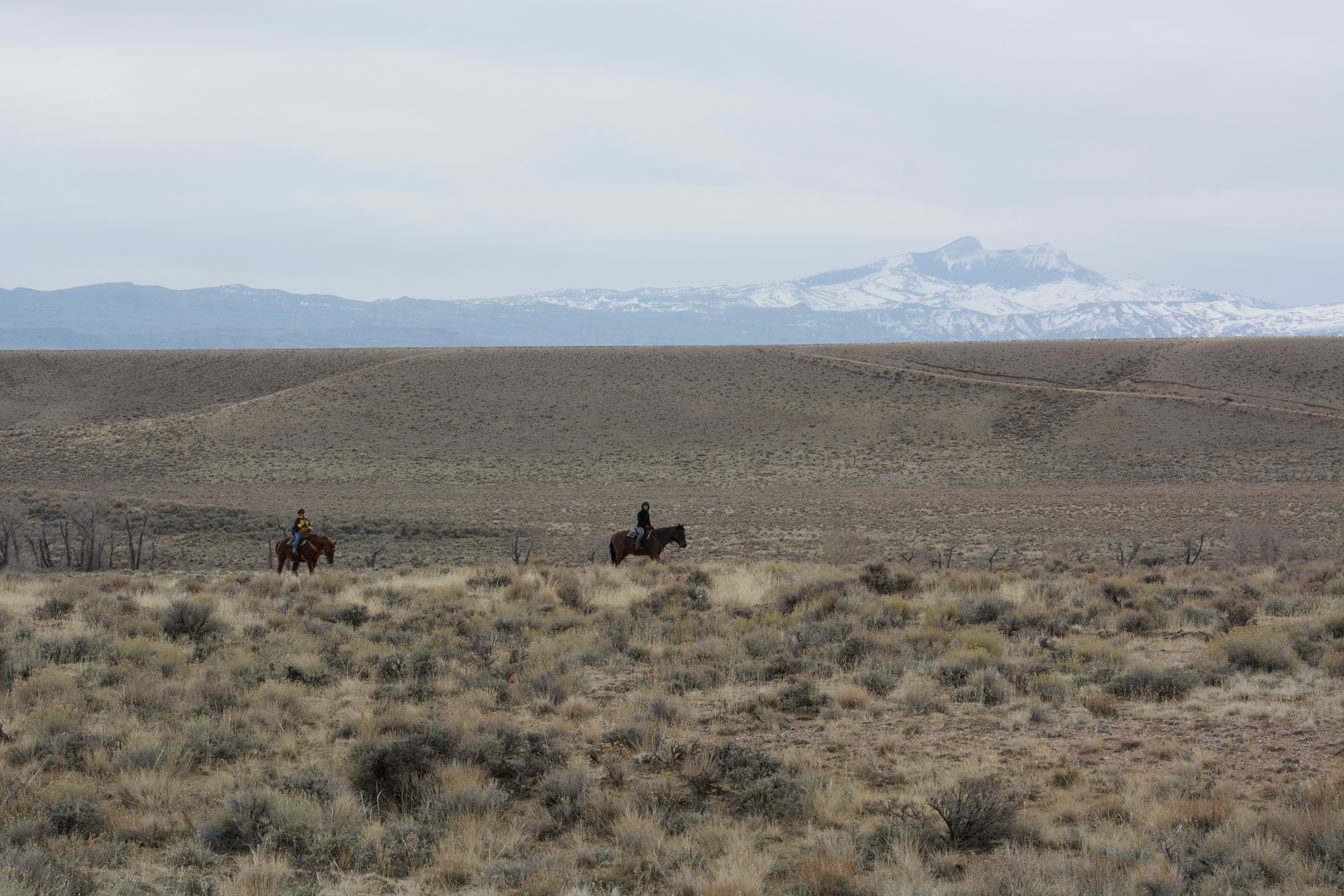
horse back ride
Beautiful Morning

Spring Icicles
Topographic Map of Badger Basin, Wyoming, USA
Find elevation by address:

Places near Badger Basin, Wyoming, USA:
Rd 1Ab, Powell, WY, USA
52 Moore Rd
1757 Eaglenest Trail
Powell Hwy, Powell, WY, USA
Main St, Burlington, WY, USA
Dead Indian Summit Overlook
Sawtooth Mountain
4727 Powell Hwy
Powell
N Clark St, Powell, WY, USA
17 Horner Dr
85 The Way West Rd
140 Sunlight Rd
Valley Federal Credit Union
3528 Cottonwood Ave
1338 Monument St
Cody
2801 Lincoln Ave
967 Ray Ct
Carter Mountain Motel
Recent Searches:
- Elevation of Sullivan Hill, New York, New York, 10002, USA
- Elevation of Morehead Road, Withrow Downs, Charlotte, Mecklenburg County, North Carolina, 28262, USA
- Elevation of 2800, Morehead Road, Withrow Downs, Charlotte, Mecklenburg County, North Carolina, 28262, USA
- Elevation of Yangbi Yi Autonomous County, Yunnan, China
- Elevation of Pingpo, Yangbi Yi Autonomous County, Yunnan, China
- Elevation of Mount Malong, Pingpo, Yangbi Yi Autonomous County, Yunnan, China
- Elevation map of Yongping County, Yunnan, China
- Elevation of North 8th Street, Palatka, Putnam County, Florida, 32177, USA
- Elevation of 107, Big Apple Road, East Palatka, Putnam County, Florida, 32131, USA
- Elevation of Jiezi, Chongzhou City, Sichuan, China
- Elevation of Chongzhou City, Sichuan, China
- Elevation of Huaiyuan, Chongzhou City, Sichuan, China
- Elevation of Qingxia, Chengdu, Sichuan, China
- Elevation of Corso Fratelli Cairoli, 35, Macerata MC, Italy
- Elevation of Tallevast Rd, Sarasota, FL, USA
- Elevation of 4th St E, Sonoma, CA, USA
- Elevation of Black Hollow Rd, Pennsdale, PA, USA
- Elevation of Oakland Ave, Williamsport, PA, USA
- Elevation of Pedrógão Grande, Portugal
- Elevation of Klee Dr, Martinsburg, WV, USA