Elevation of N Clark St, Powell, WY, USA
Location: United States > Wyoming > Park County > Powell >
Longitude: -108.75654
Latitude: 44.753872
Elevation: 1339m / 4393feet
Barometric Pressure: 86KPa
Elevation Map:
Satellite Map:
Related Photos:
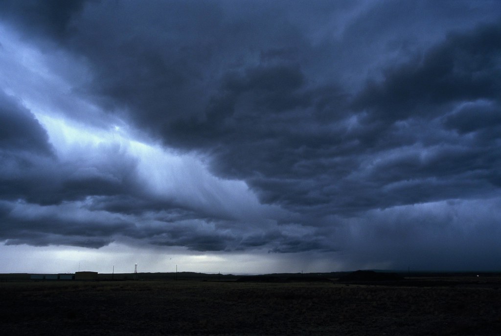
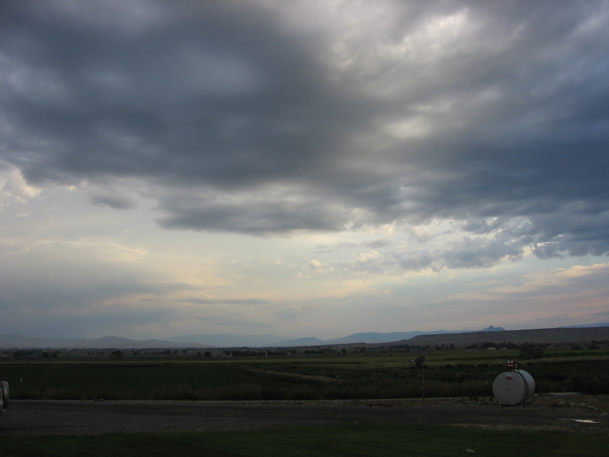
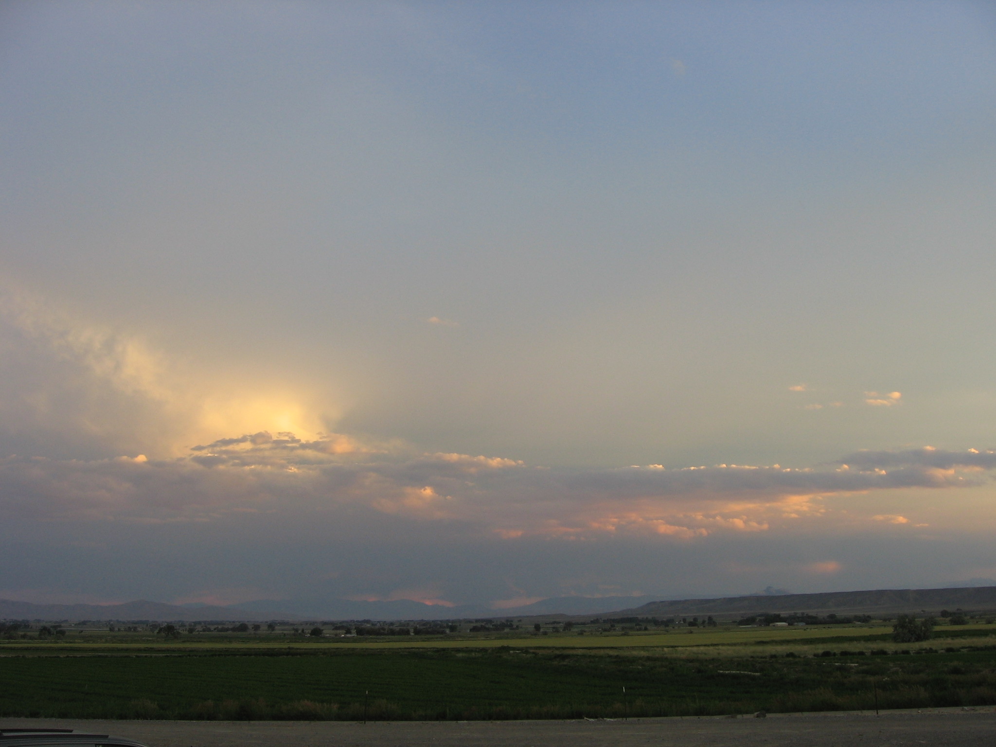
Thunderstorm

Quote
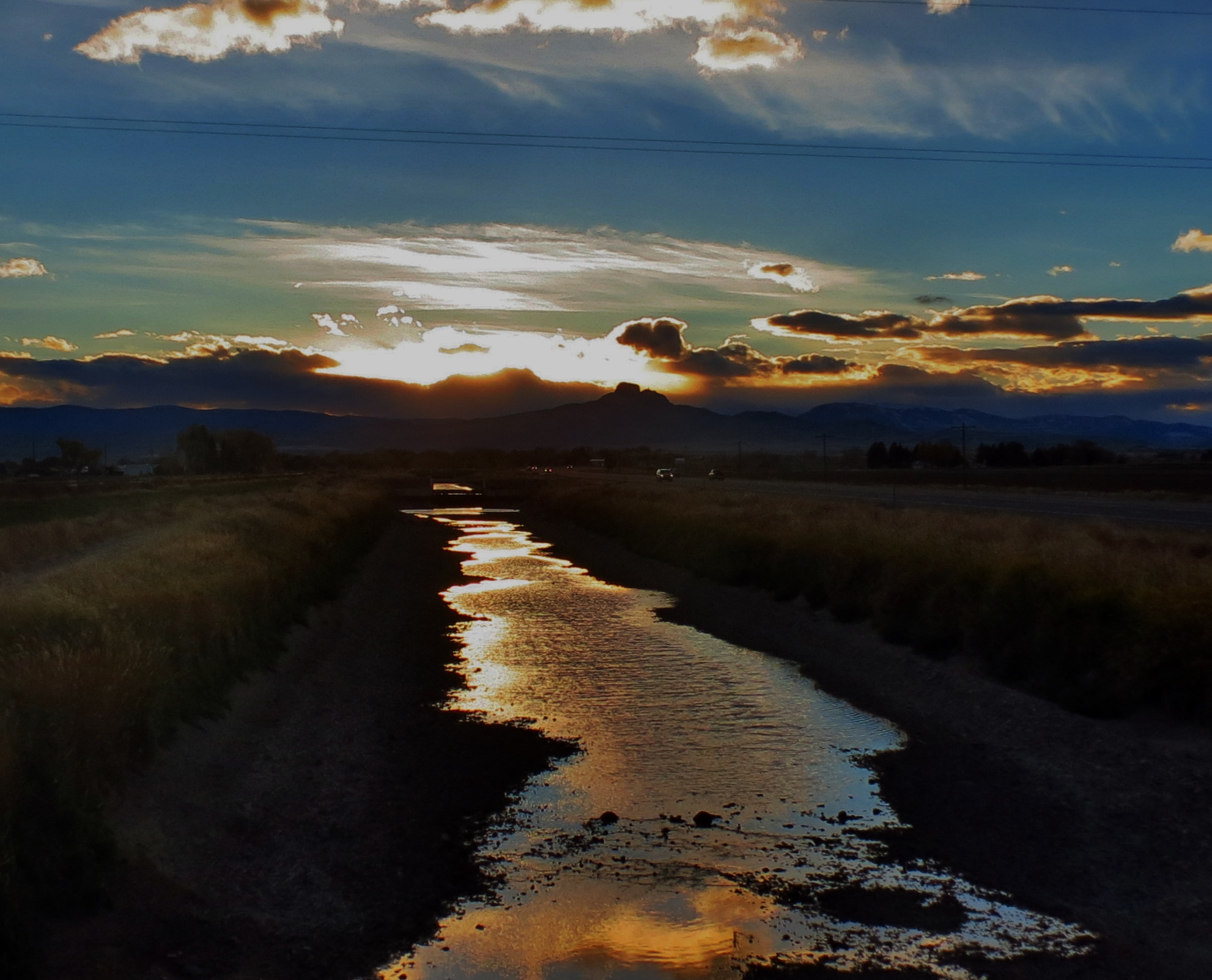
All That's Left
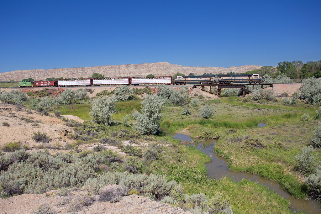
Cody Local
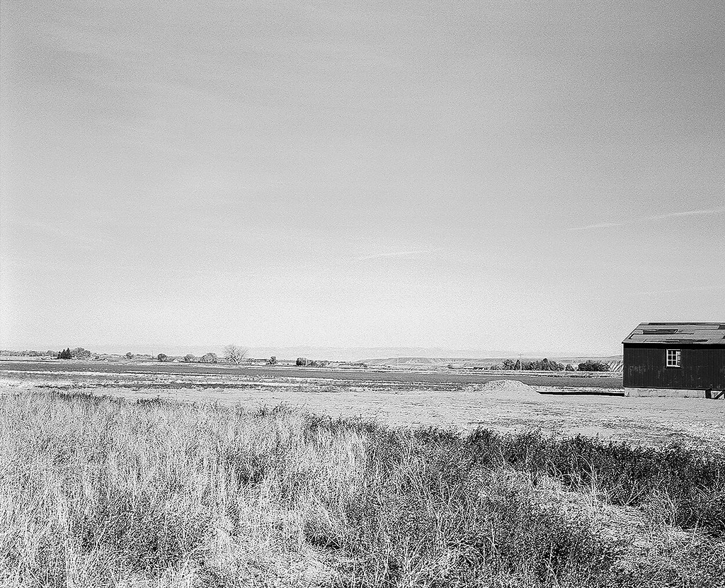
Because there are no photos out here....
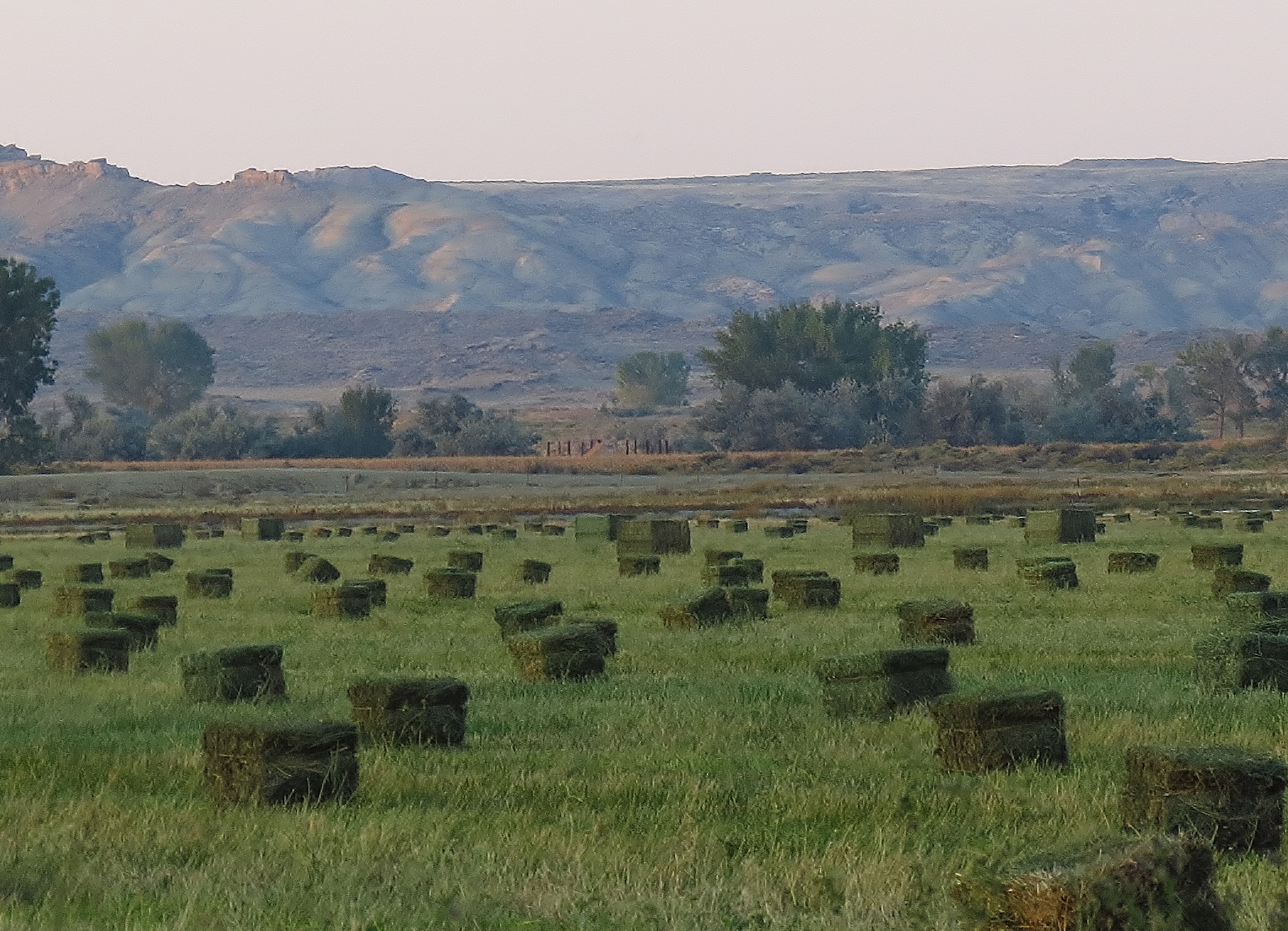
Hay Bail Kids

Sunflower Fields Forever
big sky
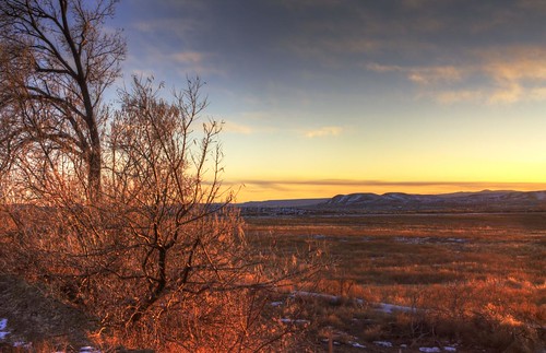
HDR Landscape

The Lost are Found

sky window
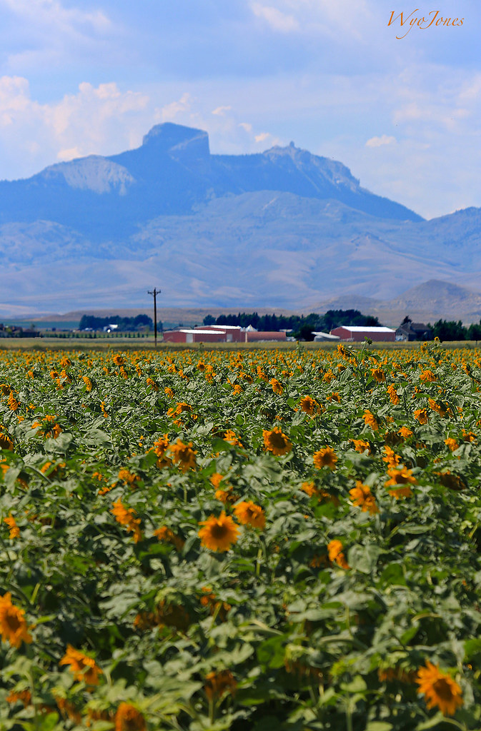
Field of Sunflowers
wrinkle mountains
Heart Mountain Barracks
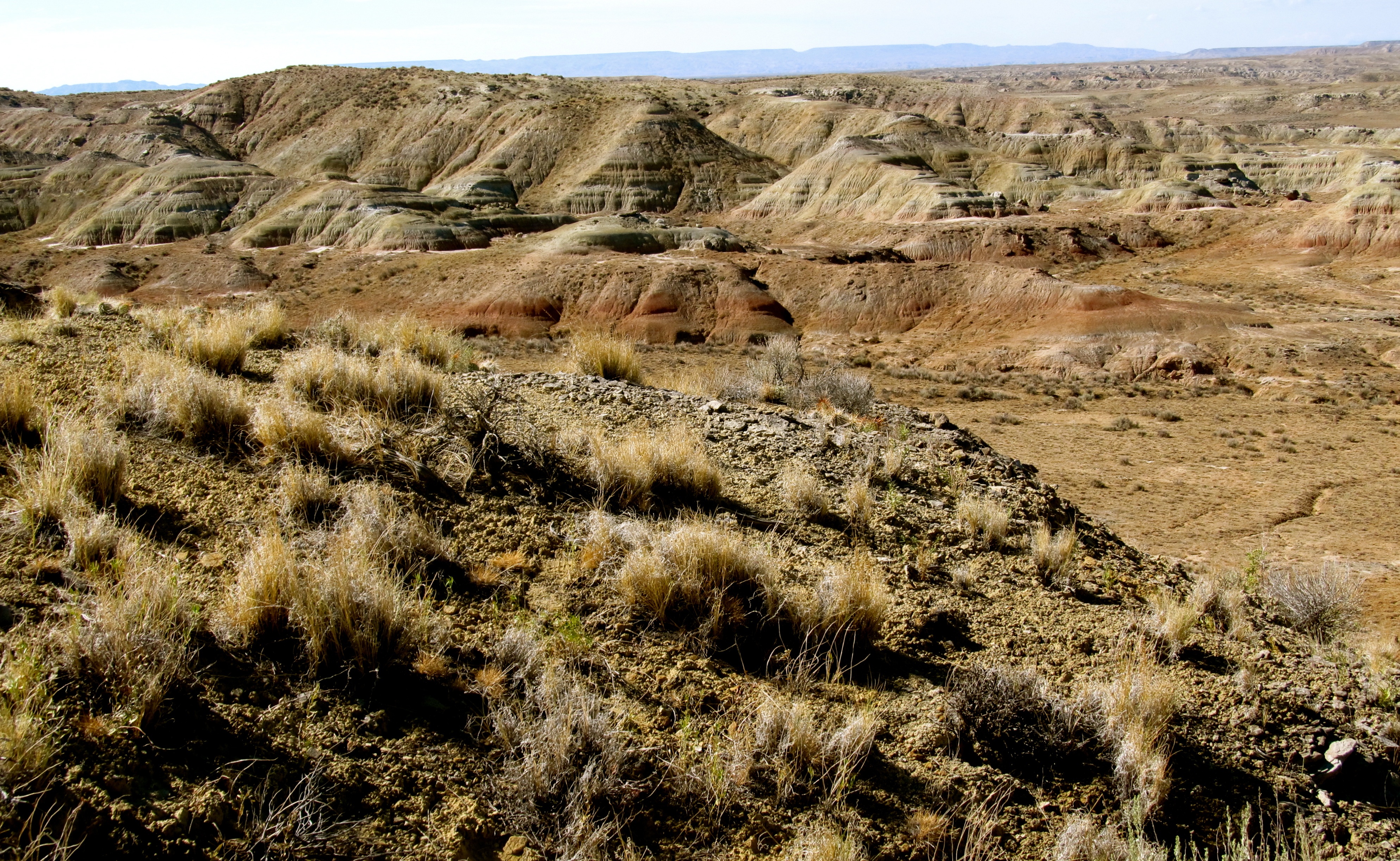
Badlands. Wyoming
Topographic Map of N Clark St, Powell, WY, USA
Find elevation by address:

Places near N Clark St, Powell, WY, USA:
Powell
967 Ray Ct
Ln 7, Powell, WY, USA
Main St, Burlington, WY, USA
1757 Eaglenest Trail
Powell Hwy, Powell, WY, USA
Byron
33 E Main St, Byron, WY, USA
4727 Powell Hwy
Cowley
The Bull Pub
17 Horner Dr
1815 Us-310
876 Lane 9
3528 Cottonwood Ave
5561 Greybull Hwy
2801 Lincoln Ave
Cody, WY, USA
Valley Federal Credit Union
Badger Basin
Recent Searches:
- Elevation of Corso Fratelli Cairoli, 35, Macerata MC, Italy
- Elevation of Tallevast Rd, Sarasota, FL, USA
- Elevation of 4th St E, Sonoma, CA, USA
- Elevation of Black Hollow Rd, Pennsdale, PA, USA
- Elevation of Oakland Ave, Williamsport, PA, USA
- Elevation of Pedrógão Grande, Portugal
- Elevation of Klee Dr, Martinsburg, WV, USA
- Elevation of Via Roma, Pieranica CR, Italy
- Elevation of Tavkvetili Mountain, Georgia
- Elevation of Hartfords Bluff Cir, Mt Pleasant, SC, USA