Elevation of Dry Creek, WY, USA
Location: United States > Wyoming > Park County >
Longitude: -108.93819
Latitude: 44.3135655
Elevation: 1722m / 5650feet
Barometric Pressure: 82KPa
Elevation Map:
Satellite Map:
Related Photos:
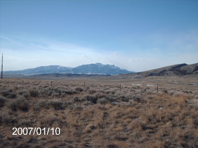
Carter Mountain Profile
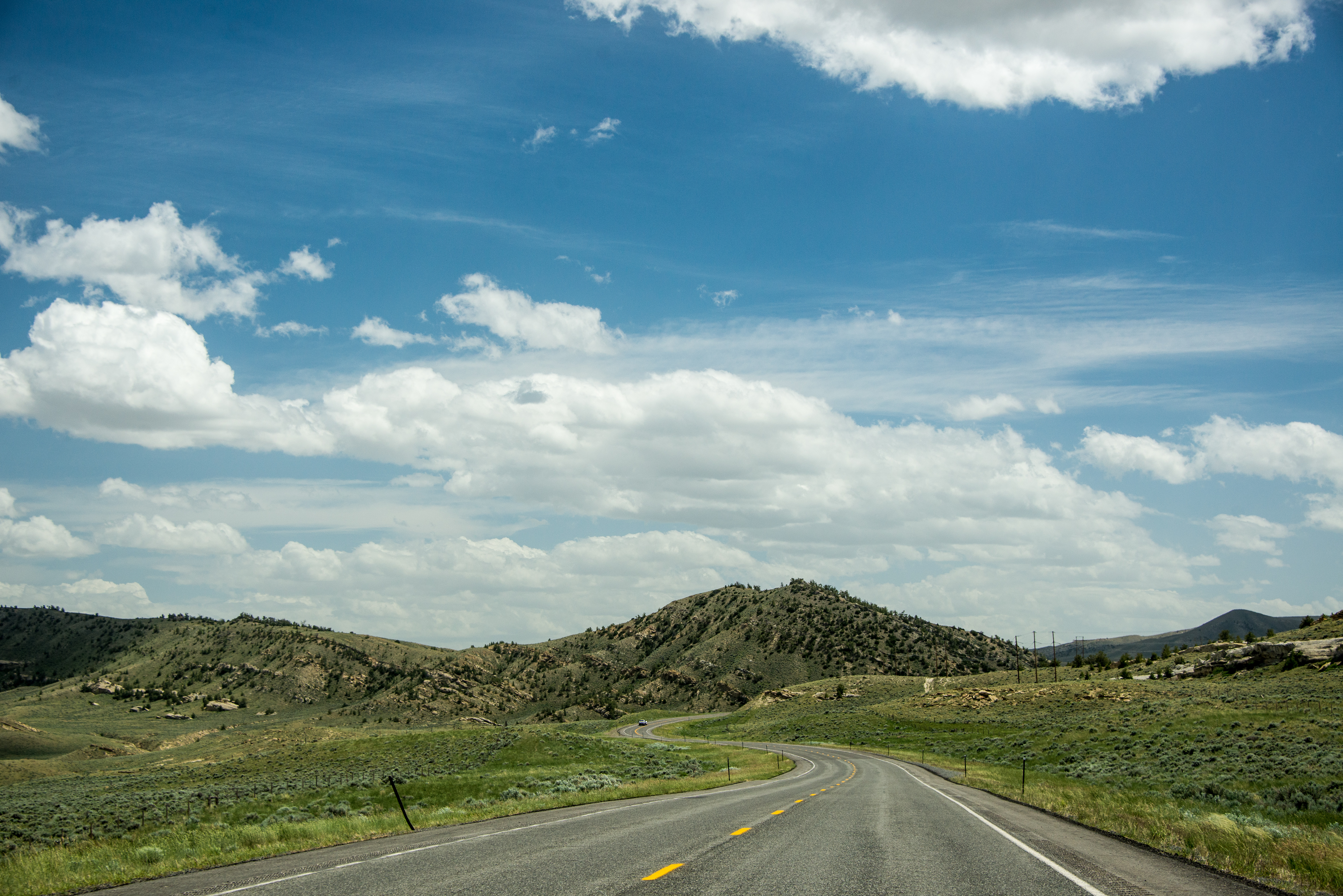
On the road in Park County Wyoming

Where 2 Fence Lines Meet
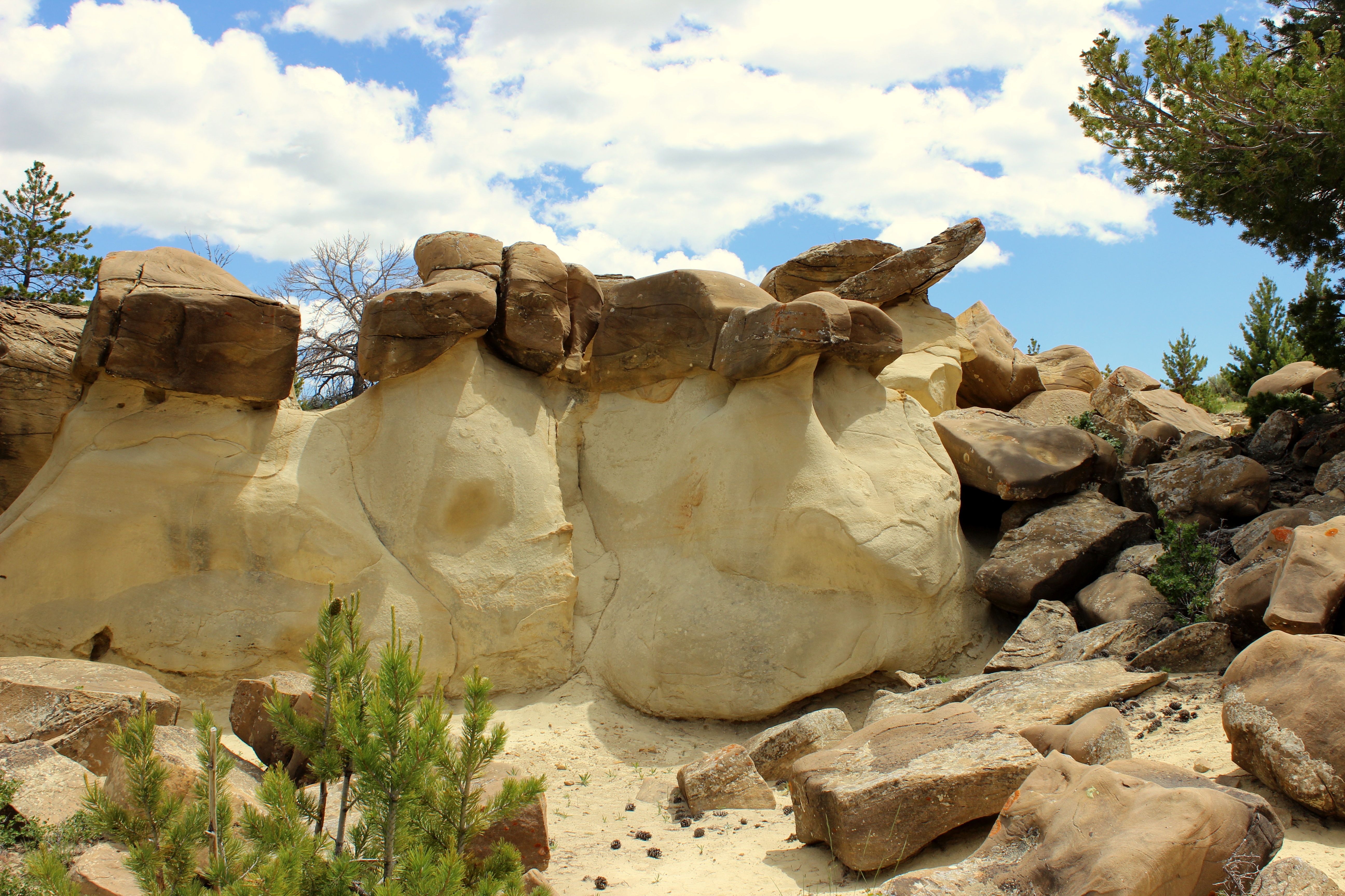
Sandstone and Blue Sky

Turtle Sage
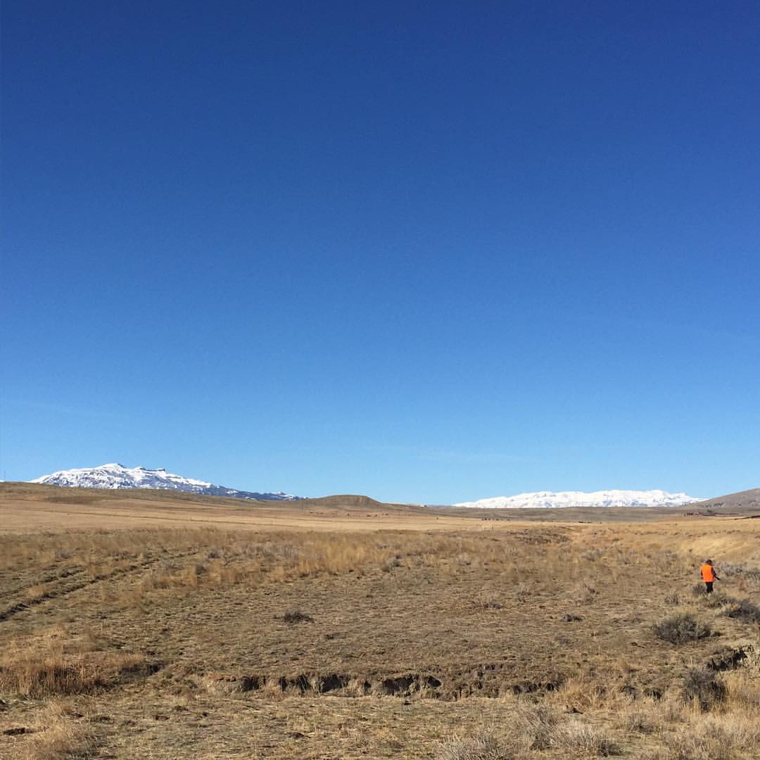
Pheasant Hunting

Heart Mountain from a Distance

A Change in Weather
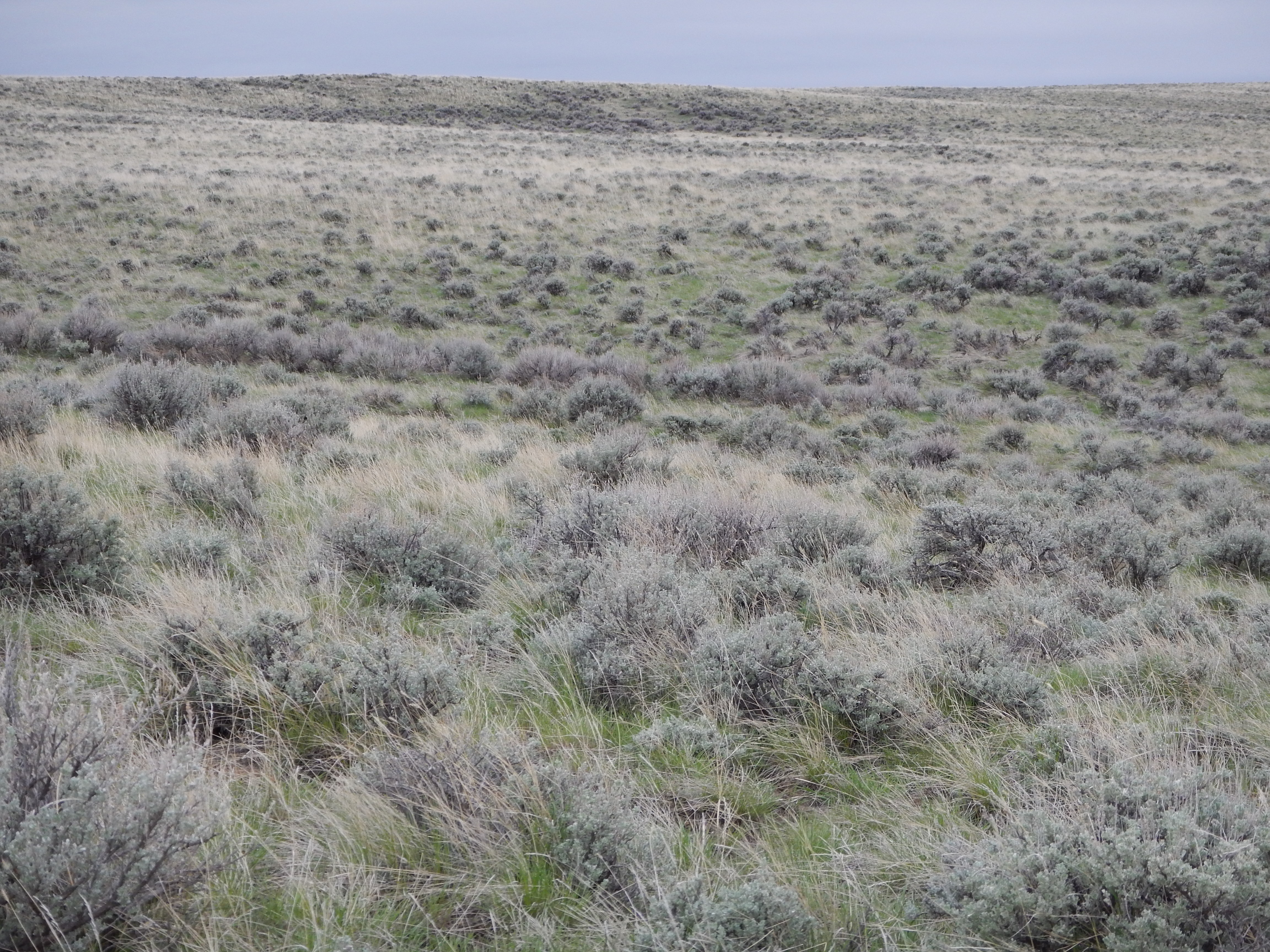
Wyoming big sagebrush steppe N of Meeteetse
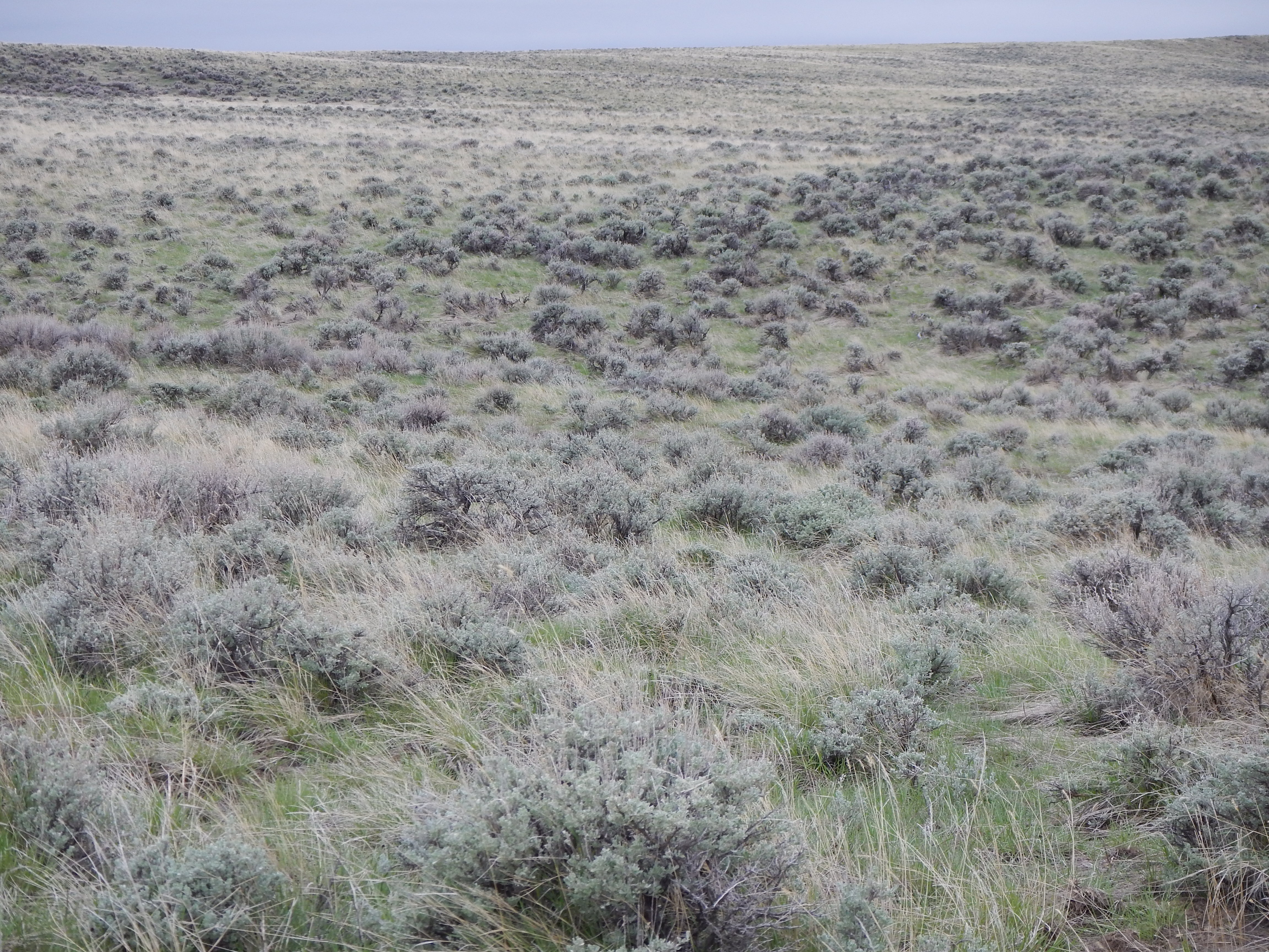
Wyoming big sagebrush steppe N of Meeteetse

Plowed Fields - Big Horn Basin -Wy
Topographic Map of Dry Creek, WY, USA
Find elevation by address:

Places near Dry Creek, WY, USA:
Wyoming 120
Wyoming 120
Meeteetse
Rd 4Eu, Meeteetse, WY, USA
5561 Greybull Hwy
Cody, WY, USA
2801 Lincoln Ave
3528 Cottonwood Ave
17 Horner Dr
Carter Mountain Motel
400 Southfork Rd
Cody
Valley Federal Credit Union
1815 8th St
1338 Monument St
232 W Yellowstone Ave
4727 Powell Hwy
West Yellowstone Avenue
75 Marquette Dr
Powell Hwy, Powell, WY, USA
Recent Searches:
- Elevation of Corso Fratelli Cairoli, 35, Macerata MC, Italy
- Elevation of Tallevast Rd, Sarasota, FL, USA
- Elevation of 4th St E, Sonoma, CA, USA
- Elevation of Black Hollow Rd, Pennsdale, PA, USA
- Elevation of Oakland Ave, Williamsport, PA, USA
- Elevation of Pedrógão Grande, Portugal
- Elevation of Klee Dr, Martinsburg, WV, USA
- Elevation of Via Roma, Pieranica CR, Italy
- Elevation of Tavkvetili Mountain, Georgia
- Elevation of Hartfords Bluff Cir, Mt Pleasant, SC, USA