Elevation of Panther Camp Road, Panther Camp Rd, Eastern, WV, USA
Location: United States > West Virginia > Greenbrier County > Eastern >
Longitude: -80.402579
Latitude: 38.0907821
Elevation: 722m / 2369feet
Barometric Pressure: 0KPa
Related Photos:

Autumn colors reflecting in the pond
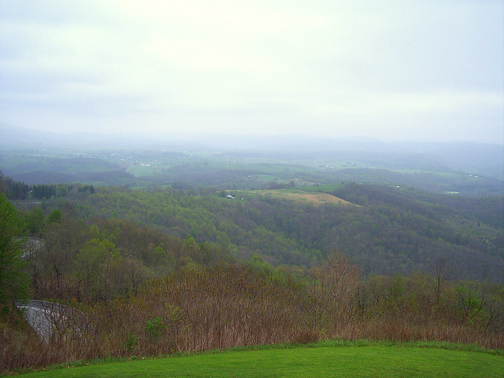
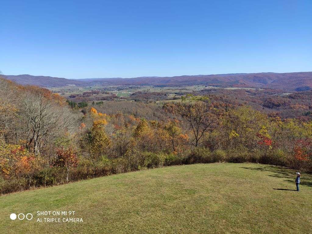
View from Droop Mtn watch tower

View from Droop Mtn watch tower

View from Droop Mtn Watch Tower

Droop Mountain Lookout Tower

Falls of Hills Creek

Falls of Hills Creek Middle Falls

All Along the Watchtower

TrackHead Studios - Droop Mnt Battlefield - Fall View

The Lower Falls of Hill Creek

Boardwalk at the Falls of Hill Creek

Stairway to Falls of Hill Creek

121733 - View From Tower
121647 - View From Tower

121653 - View From Tower

Falls of Hills Creek (Lower Falls) (Low View)

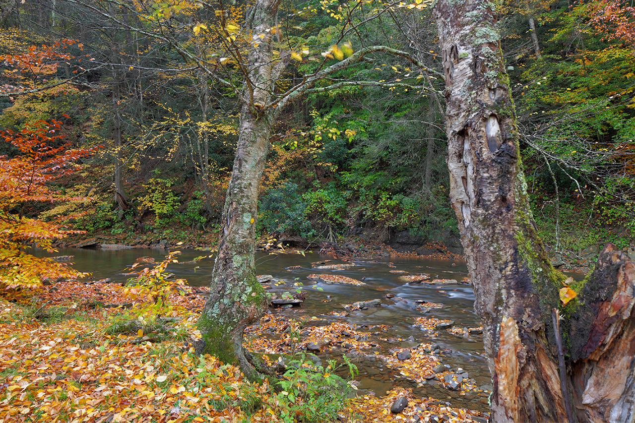
Monongahela National Forest in West Virginia
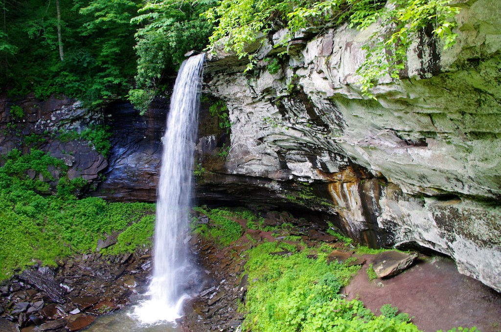
Lower Falls, 63' drop

TrackHead Studios - Droop Mnt Battlefield far below

All It Needs Is A Bear

Between A Rock And A Hard place

Looking Down on Beartown

Rough Landscape
Highland Scenic Highway

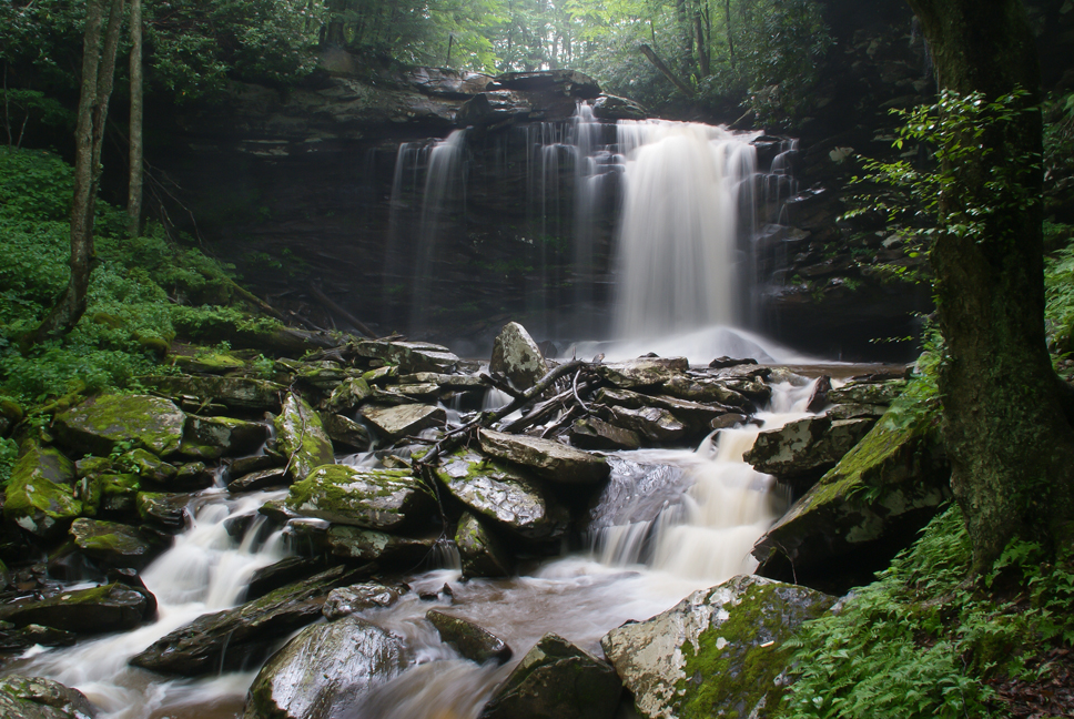
Falls of Hills Creek

The Road To Beartown

Snake Rock Sunrise
Hills Creek Middle Falls-Explored

down the hill

Middle Falls of Hills Creek
Topographic Map of Panther Camp Road, Panther Camp Rd, Eastern, WV, USA
Find elevation by address:

Places near Panther Camp Road, Panther Camp Rd, Eastern, WV, USA:
Rock Camp Road
8321 Leonard-cordova Rd
1905 Robins Fork Rd
Sky Way
Co Rte /1, Renick, WV, USA
U.s. 219
U.s. 219
U.s. 219
Renick
2899 Brownstown Rd
Sunlight
Droop
Horrock
Greenbrier River Trail, Renick, WV, USA
Droop Mountain
Greenbrier County
Summit Lake Campground
Slab Camp-auto Road
Auto
Clearco Rd, Leivasy, WV, USA
Recent Searches:
- Elevation map of Greenland, Greenland
- Elevation of Sullivan Hill, New York, New York, 10002, USA
- Elevation of Morehead Road, Withrow Downs, Charlotte, Mecklenburg County, North Carolina, 28262, USA
- Elevation of 2800, Morehead Road, Withrow Downs, Charlotte, Mecklenburg County, North Carolina, 28262, USA
- Elevation of Yangbi Yi Autonomous County, Yunnan, China
- Elevation of Pingpo, Yangbi Yi Autonomous County, Yunnan, China
- Elevation of Mount Malong, Pingpo, Yangbi Yi Autonomous County, Yunnan, China
- Elevation map of Yongping County, Yunnan, China
- Elevation of North 8th Street, Palatka, Putnam County, Florida, 32177, USA
- Elevation of 107, Big Apple Road, East Palatka, Putnam County, Florida, 32131, USA
- Elevation of Jiezi, Chongzhou City, Sichuan, China
- Elevation of Chongzhou City, Sichuan, China
- Elevation of Huaiyuan, Chongzhou City, Sichuan, China
- Elevation of Qingxia, Chengdu, Sichuan, China
- Elevation of Corso Fratelli Cairoli, 35, Macerata MC, Italy
- Elevation of Tallevast Rd, Sarasota, FL, USA
- Elevation of 4th St E, Sonoma, CA, USA
- Elevation of Black Hollow Rd, Pennsdale, PA, USA
- Elevation of Oakland Ave, Williamsport, PA, USA
- Elevation of Pedrógão Grande, Portugal