Elevation of Horrock, Eastern, WV, USA
Location: United States > West Virginia > Greenbrier County > Eastern > Renick >
Longitude: -80.294517
Latitude: 38.026231
Elevation: 586m / 1923feet
Barometric Pressure: 94KPa
Elevation Map:
Satellite Map:
Related Photos:

All Along the Watchtower

TrackHead Studios - Droop Mnt Battlefield - Fall View
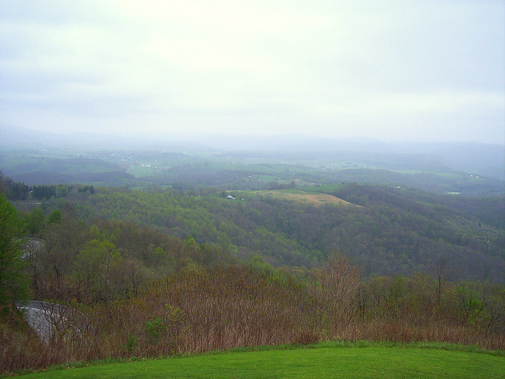
View from Droop Mtn watch tower

View from Droop Mtn watch tower

View from Droop Mtn Watch Tower

Droop Mountain Lookout Tower

Loft, Watoga Cabin #7 (2237)

Watoga State Park

November at Watoga

The Road To Beartown

Snake Rock Sunrise

TrackHead Studios - Droop Mnt Battlefield far below
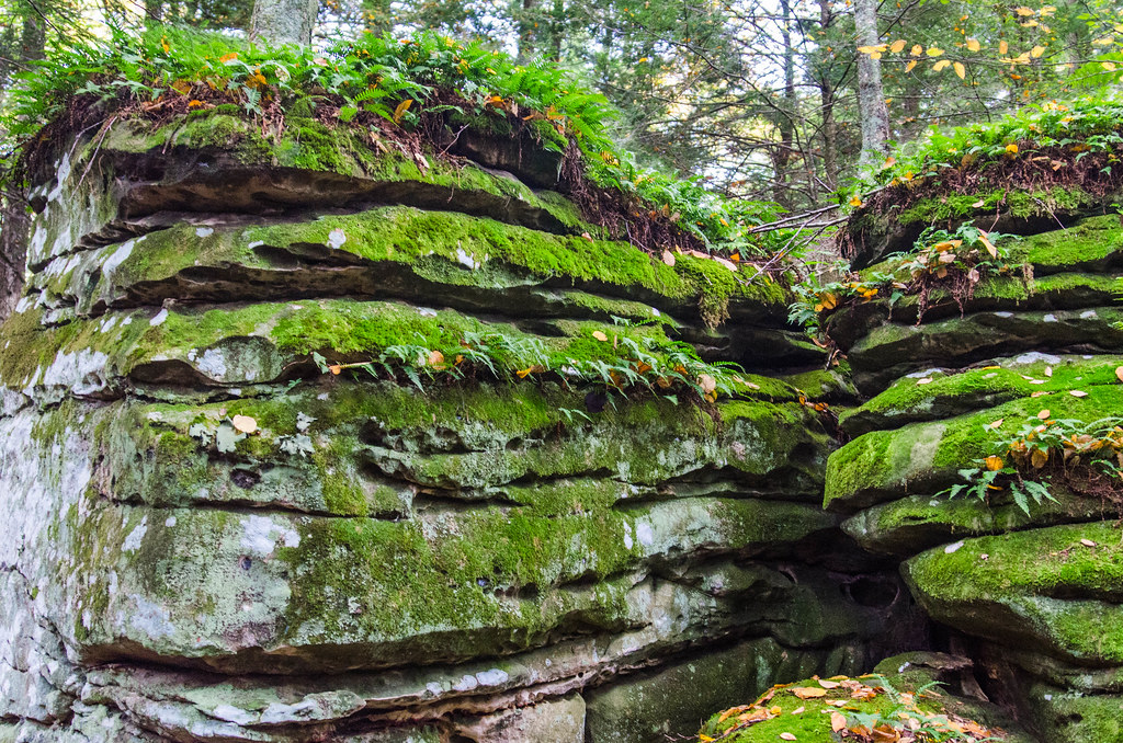
Beartown State Park, West Virginia

All It Needs Is A Bear

Between A Rock And A Hard place

赛珍珠

Juvenile Indigo Bunting

Looking Down on Beartown

Greenbrier river trail

blue bend, greenbrier county

Greenbrier Valley Image 2 5-23-2004 Photo

Droop Mountain Battlefield State Park

Greenbrier Valley Image 8 5-23-2004 Photo

Greenbrier Valley Image 5 5-23-2004 Photo

Droop Mountain Battlefield State Park
Topographic Map of Horrock, Eastern, WV, USA
Find elevation by address:

Places near Horrock, Eastern, WV, USA:
Greenbrier River Trail, Renick, WV, USA
Co Rte /1, Renick, WV, USA
2899 Brownstown Rd
Droop Mountain
Slab Camp-auto Road
Auto
Droop
Renick
1905 Robins Fork Rd
U.s. 219
U.s. 219
U.s. 219
8321 Leonard-cordova Rd
Rock Camp Road
Little Levels
Panther Camp Road
Hillsboro
Sunlight
Sky Way
Recent Searches:
- Elevation of Corso Fratelli Cairoli, 35, Macerata MC, Italy
- Elevation of Tallevast Rd, Sarasota, FL, USA
- Elevation of 4th St E, Sonoma, CA, USA
- Elevation of Black Hollow Rd, Pennsdale, PA, USA
- Elevation of Oakland Ave, Williamsport, PA, USA
- Elevation of Pedrógão Grande, Portugal
- Elevation of Klee Dr, Martinsburg, WV, USA
- Elevation of Via Roma, Pieranica CR, Italy
- Elevation of Tavkvetili Mountain, Georgia
- Elevation of Hartfords Bluff Cir, Mt Pleasant, SC, USA