Elevation of Droop, WV, USA
Location: United States > West Virginia > Auto > Little Levels >
Longitude: -80.285073
Latitude: 38.0770638
Elevation: 945m / 3100feet
Barometric Pressure: 90KPa
Elevation Map:
Satellite Map:
Related Photos:

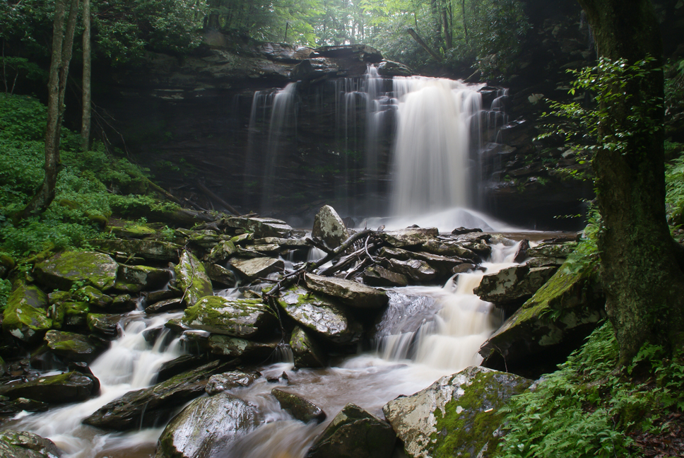
Falls of Hills Creek

Autumn colors reflecting in the pond

Falls of Hills Creek Middle Falls

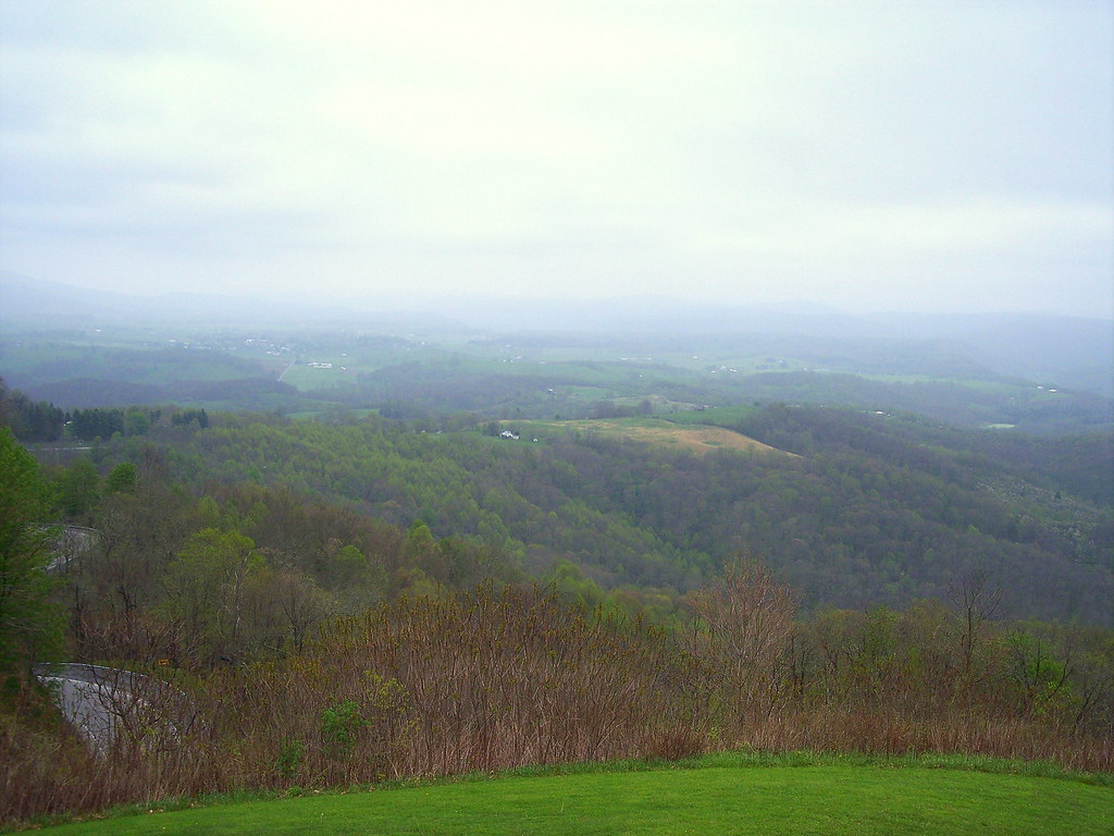
A View from WV's Highland Scenic Highway

McNeel Mill, rear - West Virginia

All Along the Watchtower
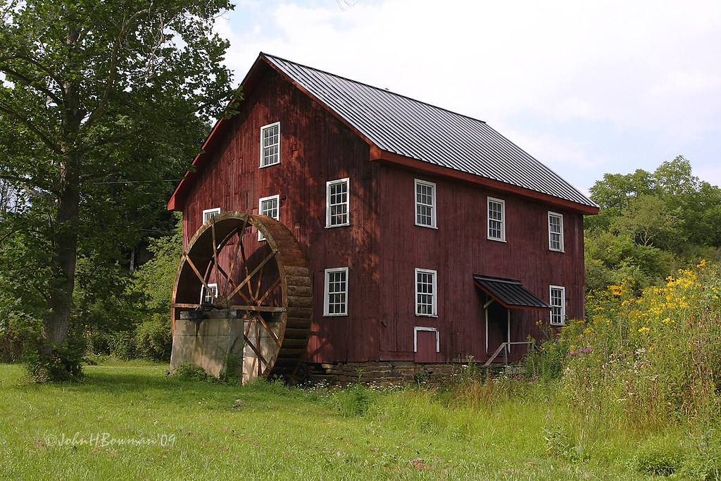
McNeel Mill, front - West Virginia

The Lower Falls of Hill Creek
View from Droop Mtn watch tower

View from Droop Mtn watch tower

View from Droop Mtn Watch Tower

Cranberry Glades Botanical Boardwalk

Droop Mountain Lookout Tower

Cranberry Glades Botanical Area

Boardwalk at the Falls of Hill Creek

Stairway to Falls of Hill Creek

20200703-FS-Monongahela-KMB-007

Highland Scenic Highway View 2

Falls of Hills Creek (Lower Falls) (Low View)

TrackHead Studios - Droop Mnt Battlefield - Fall View

Loft, Watoga Cabin #7 (2237)

Falls of Hills Creek

The Road To Beartown

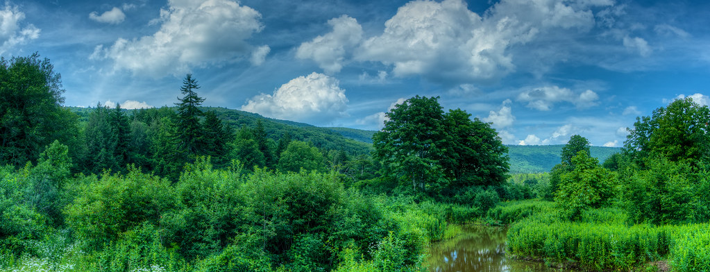
Monongahela National Forest in West Virginia

Snake Rock Sunrise
Hills Creek Middle Falls-Explored

Cranberry Glades in West Virginia

down the hill

Down in the Valley

Middle Falls of Hills Creek
Lower Falls of Hills Creek

hill country
Cranberry Back Country along the Cow Pasture Trail

Cranberry Glades Autumn Morning

Middle Falls at Hill Creek

Autumn flash back.......
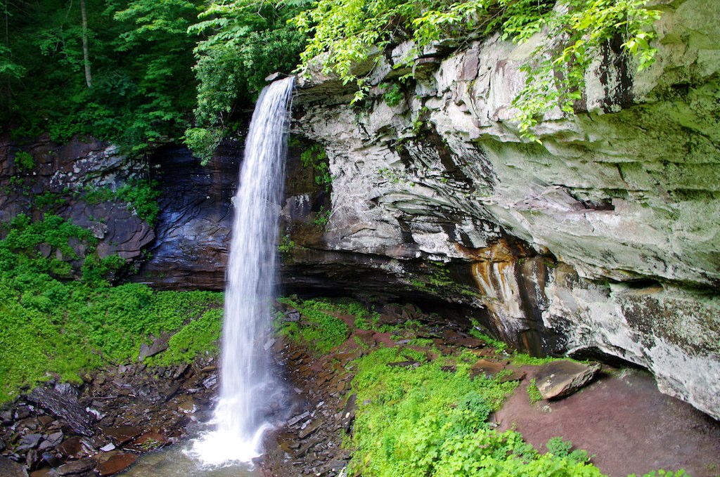
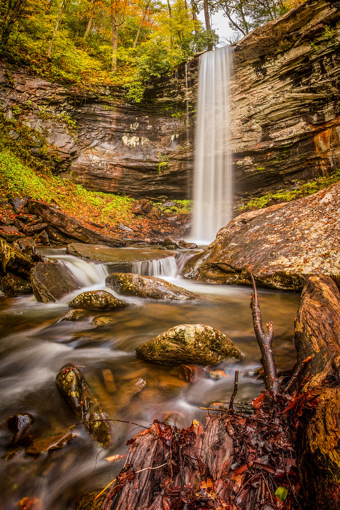
Lower Falls, 63' drop

The Lower Falls at Hill Creek
Topographic Map of Droop, WV, USA
Find elevation by address:

Places in Droop, WV, USA:
Places near Droop, WV, USA:
Co Rte /1, Renick, WV, USA
Droop Mountain
Horrock
Greenbrier River Trail, Renick, WV, USA
1905 Robins Fork Rd
Little Levels
2899 Brownstown Rd
Rock Camp Road
8321 Leonard-cordova Rd
Hillsboro
Auto
Slab Camp-auto Road
Renick
U.s. 219
U.s. 219
U.s. 219
Panther Camp Road
Sky Way
Sunlight
Recent Searches:
- Elevation of Corso Fratelli Cairoli, 35, Macerata MC, Italy
- Elevation of Tallevast Rd, Sarasota, FL, USA
- Elevation of 4th St E, Sonoma, CA, USA
- Elevation of Black Hollow Rd, Pennsdale, PA, USA
- Elevation of Oakland Ave, Williamsport, PA, USA
- Elevation of Pedrógão Grande, Portugal
- Elevation of Klee Dr, Martinsburg, WV, USA
- Elevation of Via Roma, Pieranica CR, Italy
- Elevation of Tavkvetili Mountain, Georgia
- Elevation of Hartfords Bluff Cir, Mt Pleasant, SC, USA