Elevation of Auto, WV, USA
Location: United States > West Virginia >
Longitude: -80.318688
Latitude: 37.9653601
Elevation: 723m / 2372feet
Barometric Pressure: 93KPa
Elevation Map:
Satellite Map:
Related Photos:

TrackHead Studios - Droop Mnt Battlefield - Fall View

Closer view of the Maxwelton blind valley

The Road To Beartown

Snake Rock Sunrise

TrackHead Studios - Droop Mnt Battlefield far below

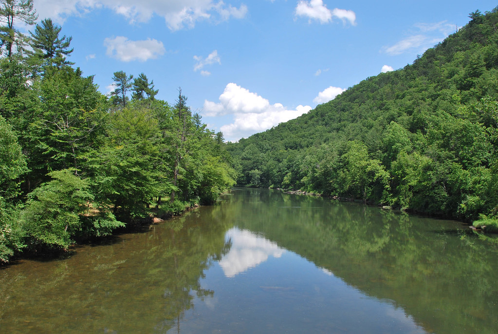
Greenbrier River
Beartown State Park, West Virginia

All It Needs Is A Bear

Anthony Creek, Monongahela NF, West Virgina

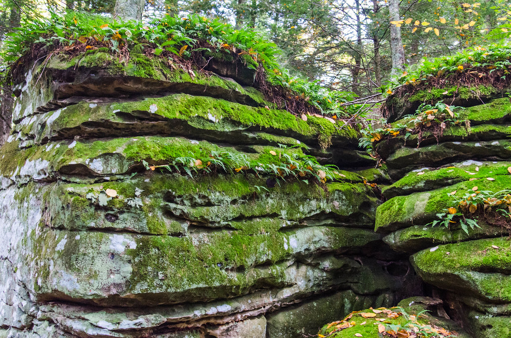
Between A Rock And A Hard place

Looking Down on Beartown

Rough Landscape

Greenbrier River, looking north

Anthony Creek, Monongahela NF, West Virgina

Greenbrier river trail

blue bend, greenbrier county

Blue Bend

Leaning Log

Beartown State Park

Greenbrier River at Anthony, WV
Greenbrier River at Anthony, WV

Greenbrier River at Anthony, WV

Beartown State Park
Topographic Map of Auto, WV, USA
Find elevation by address:

Places in Auto, WV, USA:
Places near Auto, WV, USA:
Frankford
Vago Rd, Frankford, WV, USA
Eastern
Vago Rd, Frankford, WV, USA
Keister
270 Georgeanna Dr
10509 Pocahontas Trail
473 Mclaughlin Rd
Unus Rd, Lewisburg, WV, USA
Pocahontas Trail
123 Chestnut Flats Rd
Benedict Lane
Maxwelton
Harper Rd, Lewisburg, WV, USA
Central
942 Sherwood Lake Rd
319 Broken Star Acres Rd
White Sulphur Springs
WHT SPHR SPGS, WV, USA
1562 Village Run Rd
Recent Searches:
- Elevation of Corso Fratelli Cairoli, 35, Macerata MC, Italy
- Elevation of Tallevast Rd, Sarasota, FL, USA
- Elevation of 4th St E, Sonoma, CA, USA
- Elevation of Black Hollow Rd, Pennsdale, PA, USA
- Elevation of Oakland Ave, Williamsport, PA, USA
- Elevation of Pedrógão Grande, Portugal
- Elevation of Klee Dr, Martinsburg, WV, USA
- Elevation of Via Roma, Pieranica CR, Italy
- Elevation of Tavkvetili Mountain, Georgia
- Elevation of Hartfords Bluff Cir, Mt Pleasant, SC, USA