Elevation of Brownstown Rd, Renick, WV, USA
| Latitude | 38.007328 |
|---|---|
| Longitude | -80.319557 |
| Elevation | 653m / 2142feet |
| Barometric Pressure | 937KPa |
Related Photos:

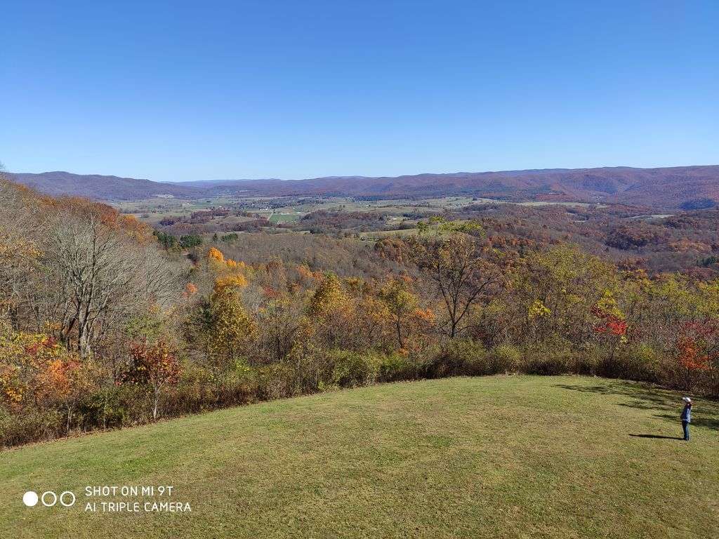
TrackHead Studios - Droop Mnt Battlefield - Fall View

Droop Mountain Lookout Tower
121647 - View From Tower

121653 - View From Tower

121733 - View From Tower

All Along the Watchtower
View from Droop Mtn watch tower

View from Droop Mtn watch tower

View from Droop Mtn Watch Tower

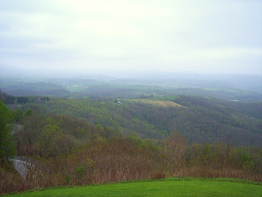
TrackHead Studios - Droop Mnt Battlefield far below

blue bend, greenbrier county

The Road To Beartown

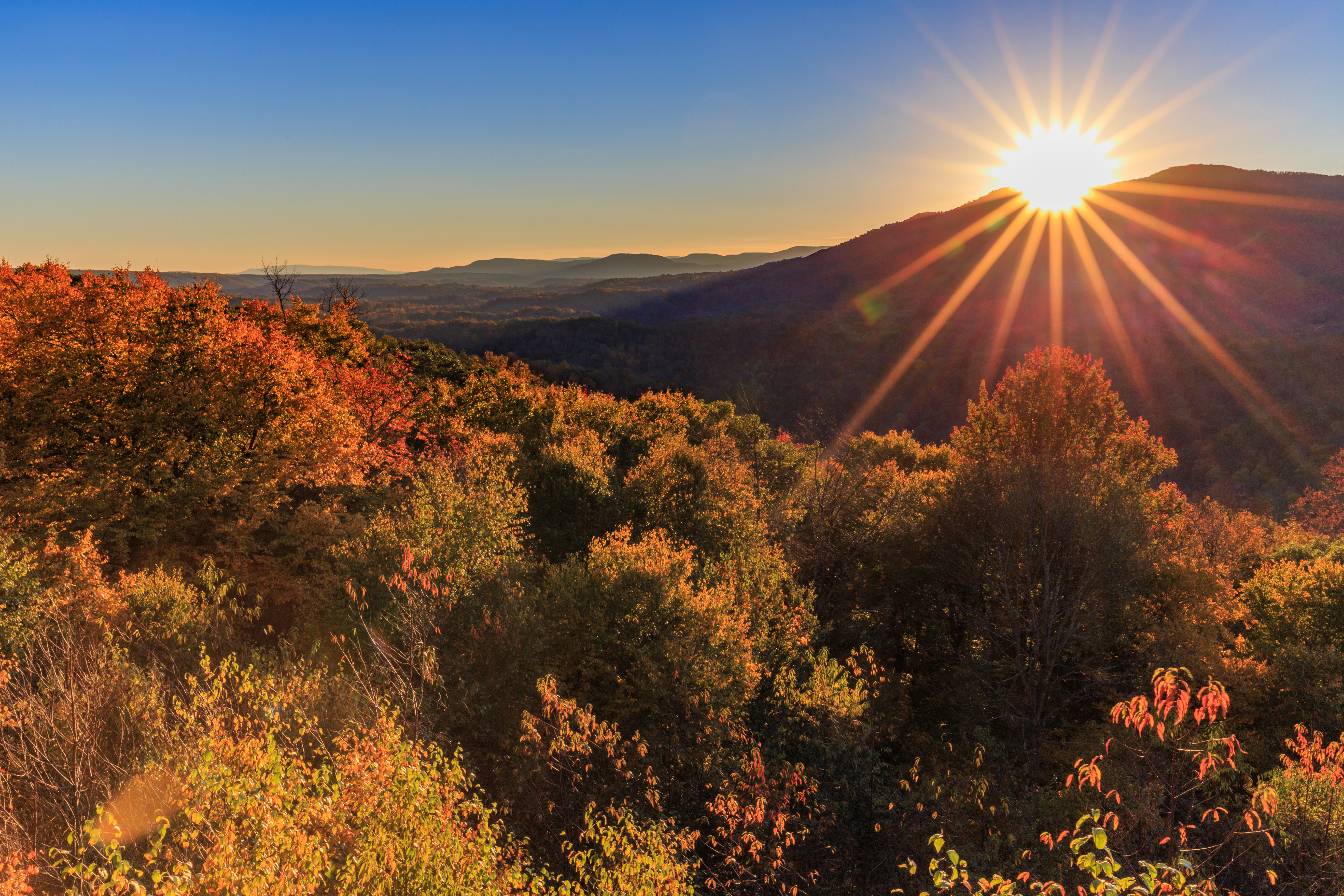
Snake Rock Sunrise

Hillsboro, WV
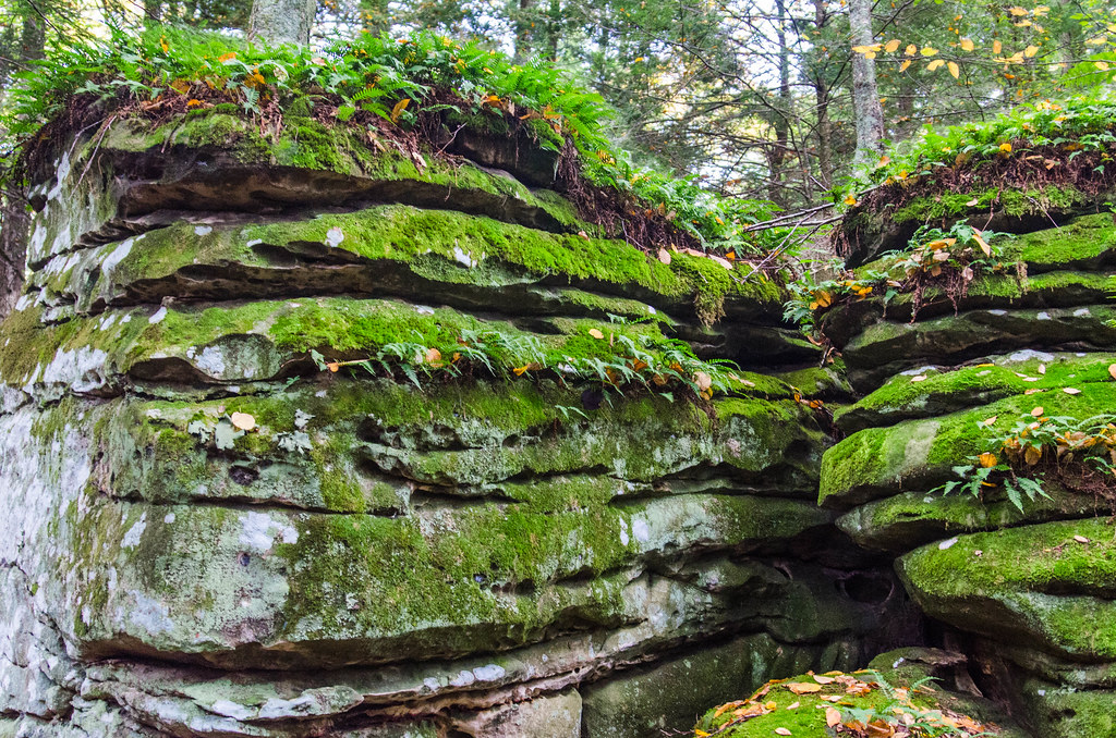
Beartown State Park, West Virginia

All It Needs Is A Bear

Between A Rock And A Hard place

Looking Down on Beartown

Rough Landscape
Droop Mountain State Park West Overlook

Greenbrier river trail

Droop Mountain

Beartown State Park

Blue Bend

WV state trip

Leaning Log

Beartown State Park
Topographic Map of Brownstown Rd, Renick, WV, USA
Find elevation by address:
Places near Brownstown Rd, Renick, WV, USA:
Horrock
Greenbrier River Trail, Renick, WV, USA
Renick
U.s. 219
U.s. 219
U.s. 219
Slab Camp-auto Road
Co Rte /1, Renick, WV, USA
Auto
Droop Mountain
1905 Robins Fork Rd
Droop
8321 Leonard-cordova Rd
Rock Camp Road
Panther Camp Road
Little Levels
Sunlight
Sky Way
Hillsboro
Droop, WV, USA
Recent Searches:
- Elevation of Burnt Store Village, Charlotte County, Florida, 33955, USA
- Elevation of 26552, Angelica Road, Punta Gorda, Charlotte County, Florida, 33955, USA
- Elevation of 104, Chancery Road, Middletown Township, Bucks County, Pennsylvania, 19047, USA
- Elevation of 1212, Cypress Lane, Dayton, Liberty County, Texas, 77535, USA
- Elevation map of Central Hungary, Hungary
- Elevation map of Pest, Central Hungary, Hungary
- Elevation of Pilisszentkereszt, Pest, Central Hungary, Hungary
- Elevation of Dharamkot Tahsil, Punjab, India
- Elevation of Bhinder Khurd, Dharamkot Tahsil, Punjab, India
- Elevation of 2881, Chabot Drive, San Bruno, San Mateo County, California, 94066, USA
- Elevation of 10370, West 107th Circle, Westminster, Jefferson County, Colorado, 80021, USA
- Elevation of 611, Roman Road, Old Ford, Bow, London, England, E3 2RW, United Kingdom
- Elevation of 116, Beartown Road, Underhill, Chittenden County, Vermont, 05489, USA
- Elevation of Window Rock, Colfax County, New Mexico, 87714, USA
- Elevation of 4807, Rosecroft Street, Kempsville Gardens, Virginia Beach, Virginia, 23464, USA
- Elevation map of Matawinie, Quebec, Canada
- Elevation of Sainte-Émélie-de-l'Énergie, Matawinie, Quebec, Canada
- Elevation of Rue du Pont, Sainte-Émélie-de-l'Énergie, Matawinie, Quebec, J0K2K0, Canada
- Elevation of 8, Rue de Bécancour, Blainville, Thérèse-De Blainville, Quebec, J7B1N2, Canada
- Elevation of Wilmot Court North, 163, University Avenue West, Northdale, Waterloo, Region of Waterloo, Ontario, N2L6B6, Canada