Elevation of Clearco Rd, Leivasy, WV, USA
Location: United States > West Virginia > Greenbrier County > Western >
Longitude: -80.57123
Latitude: 38.0795419
Elevation: 1269m / 4163feet
Barometric Pressure: 87KPa
Elevation Map:
Satellite Map:
Related Photos:
blow
#Richwood beauty. #WV #summer
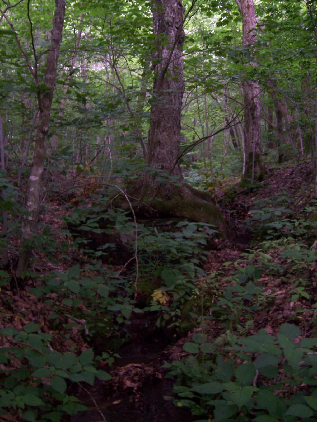
natural spring
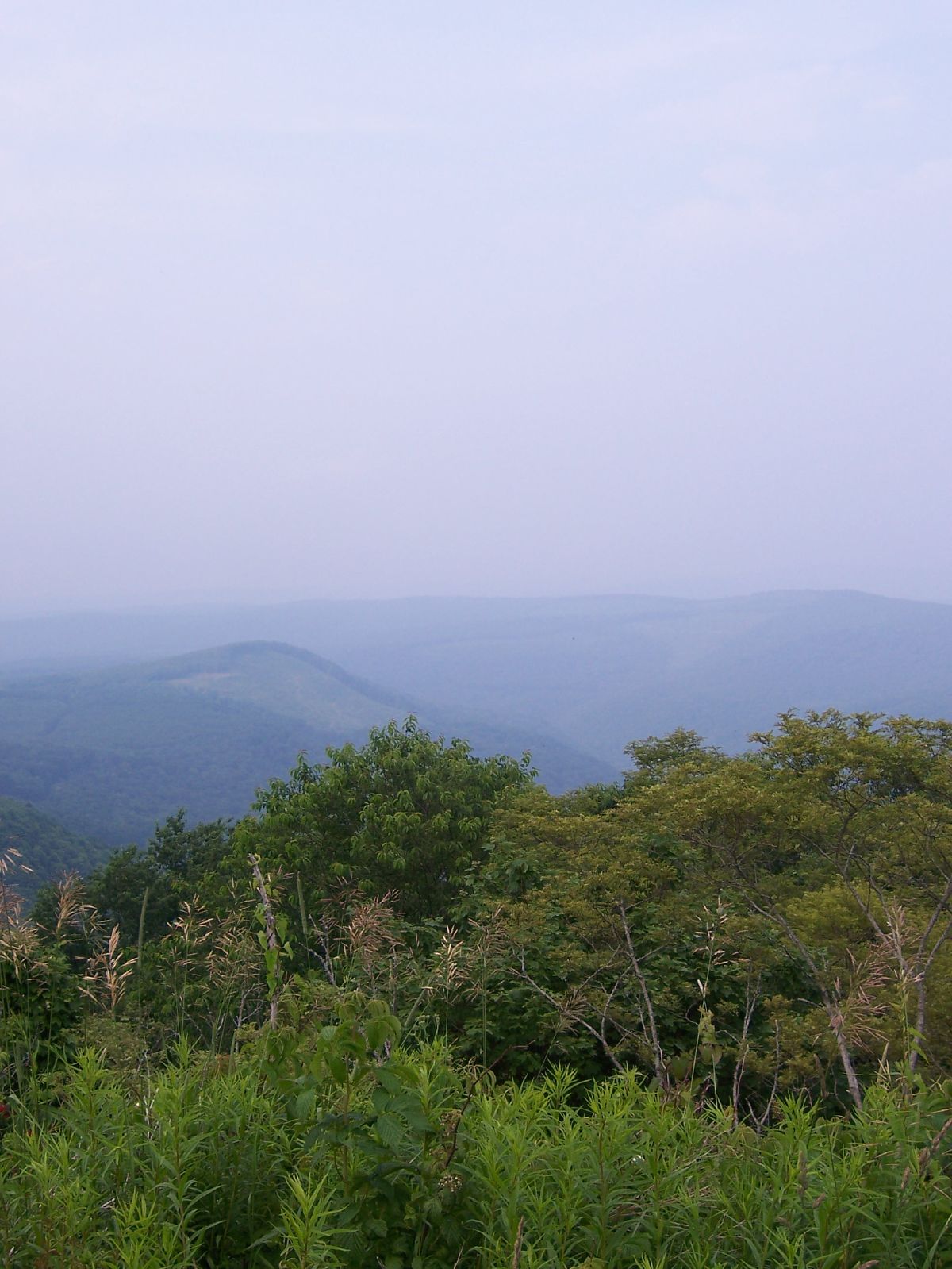
cold knob 2
After Poor Farm

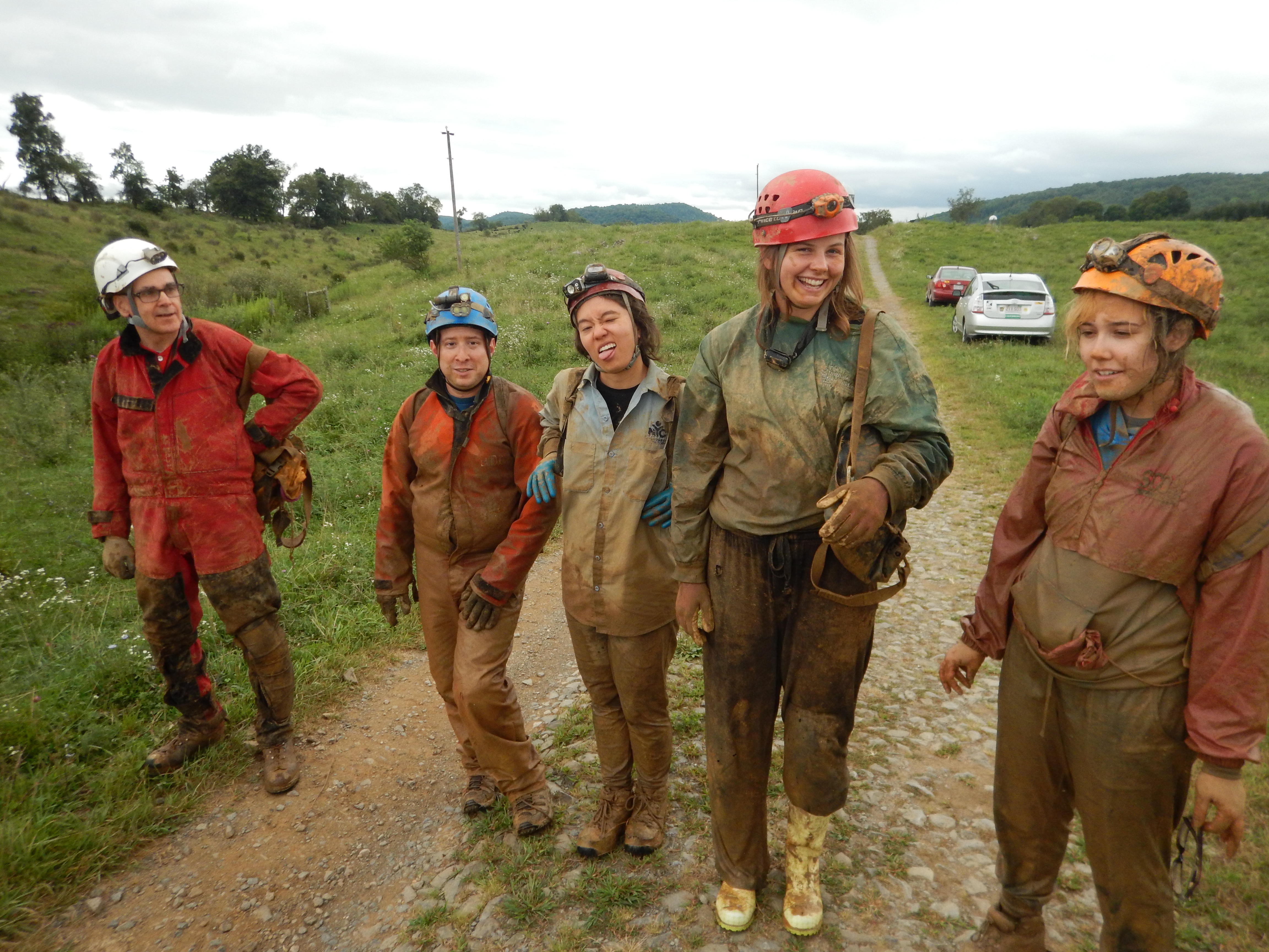
Clean Cavers
After Poor Farm

Dirty Cavers 2

Morrie's boots

Shawna's muddy face

#richwood #wv #summer
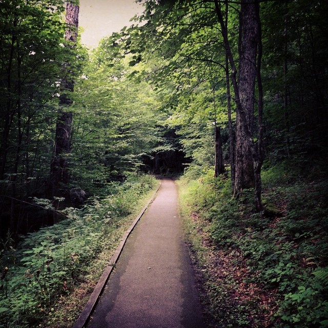
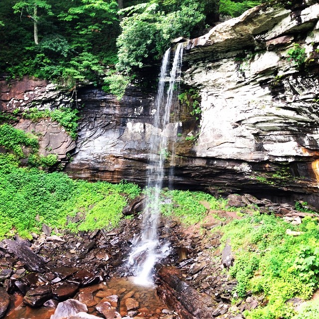
Down the path to the falls. #richwood #wv #summer

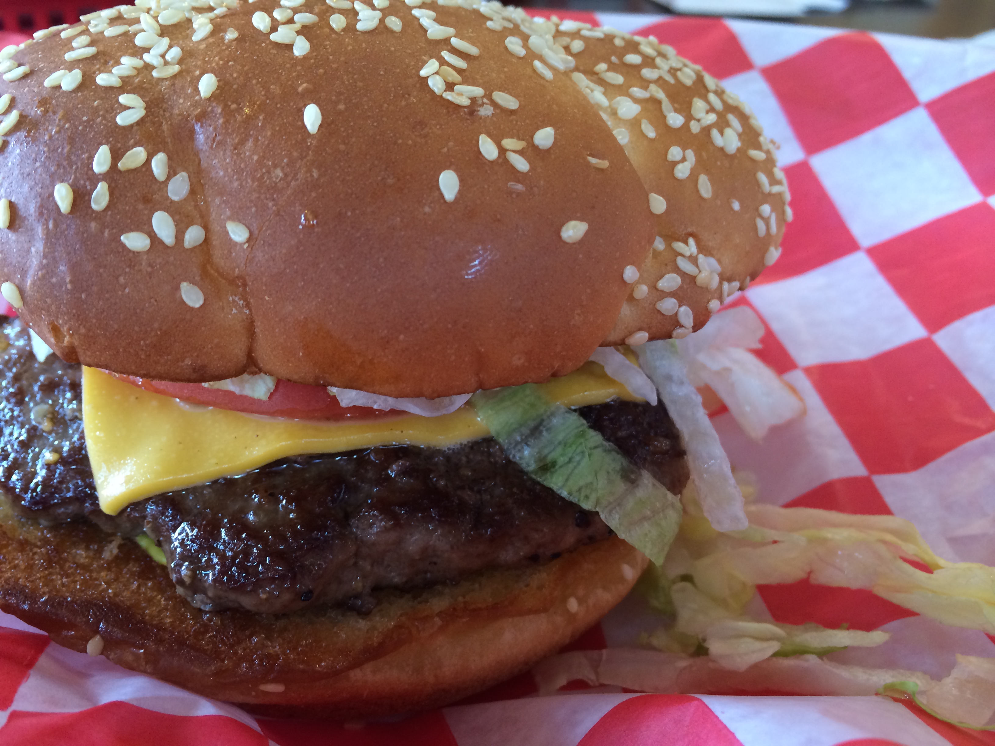
Mumsey's Iron Skillet
Mumsey's Iron Skillet
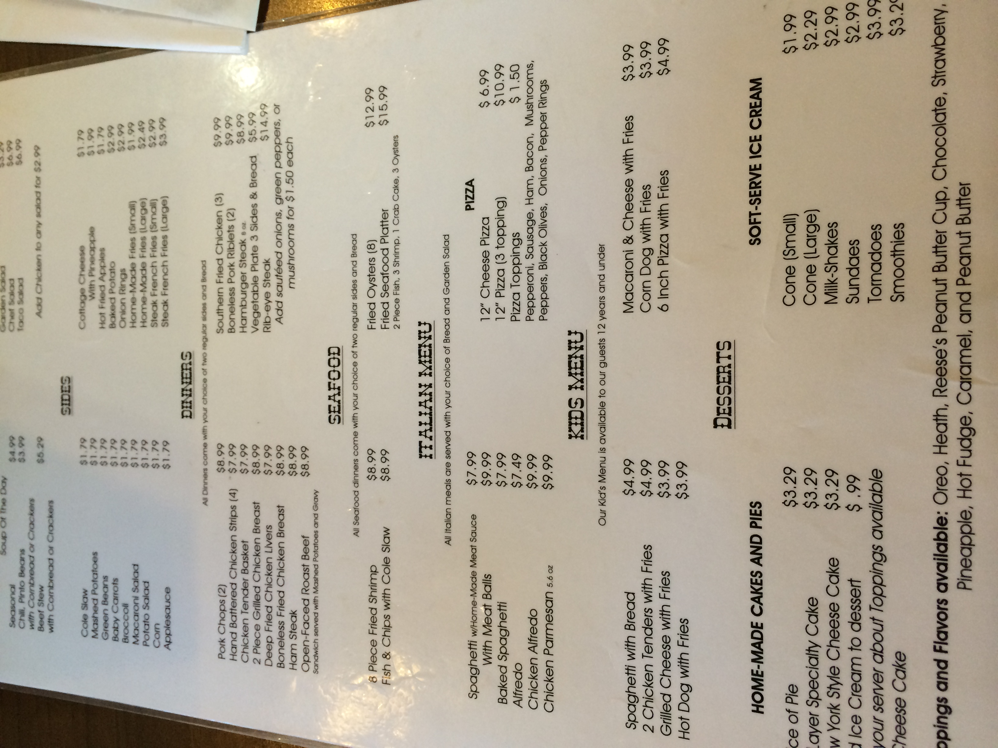
Mumsey's Iron Skillet
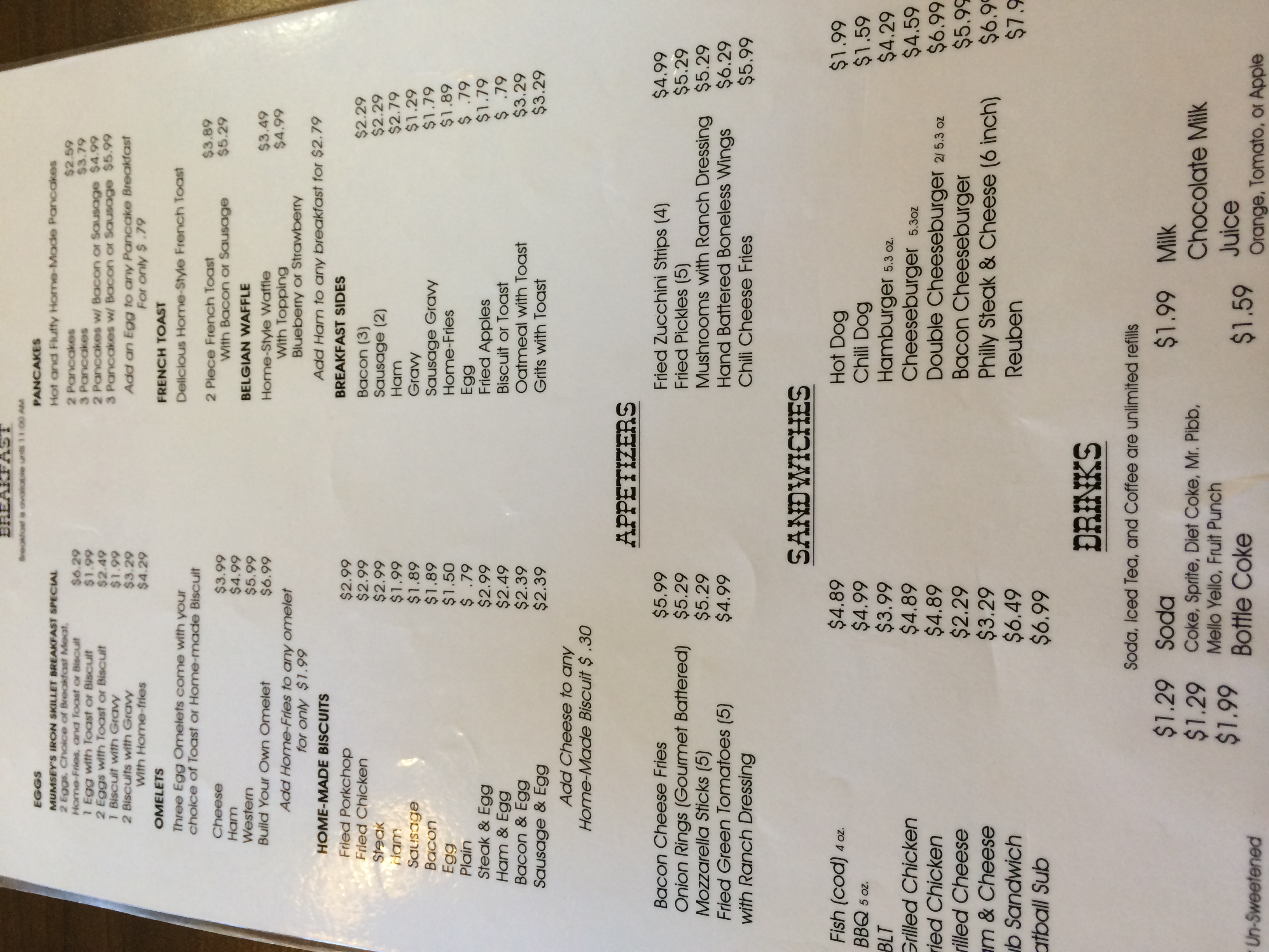
Mumsey's Iron Skillet

Mumsey's Iron Skillet
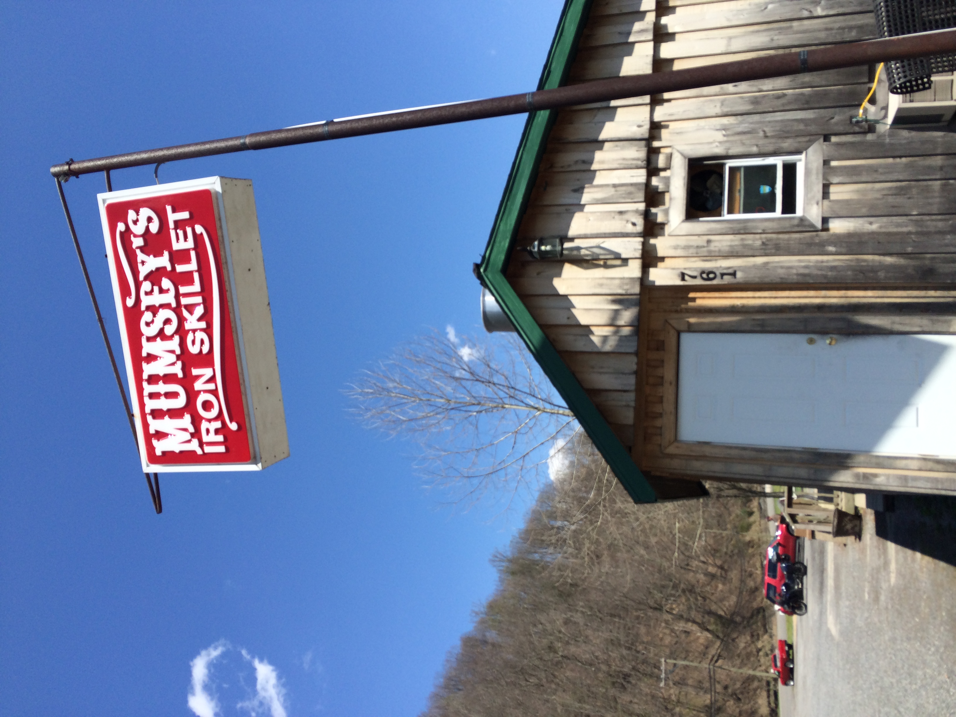
Mumsey's Iron Skillet
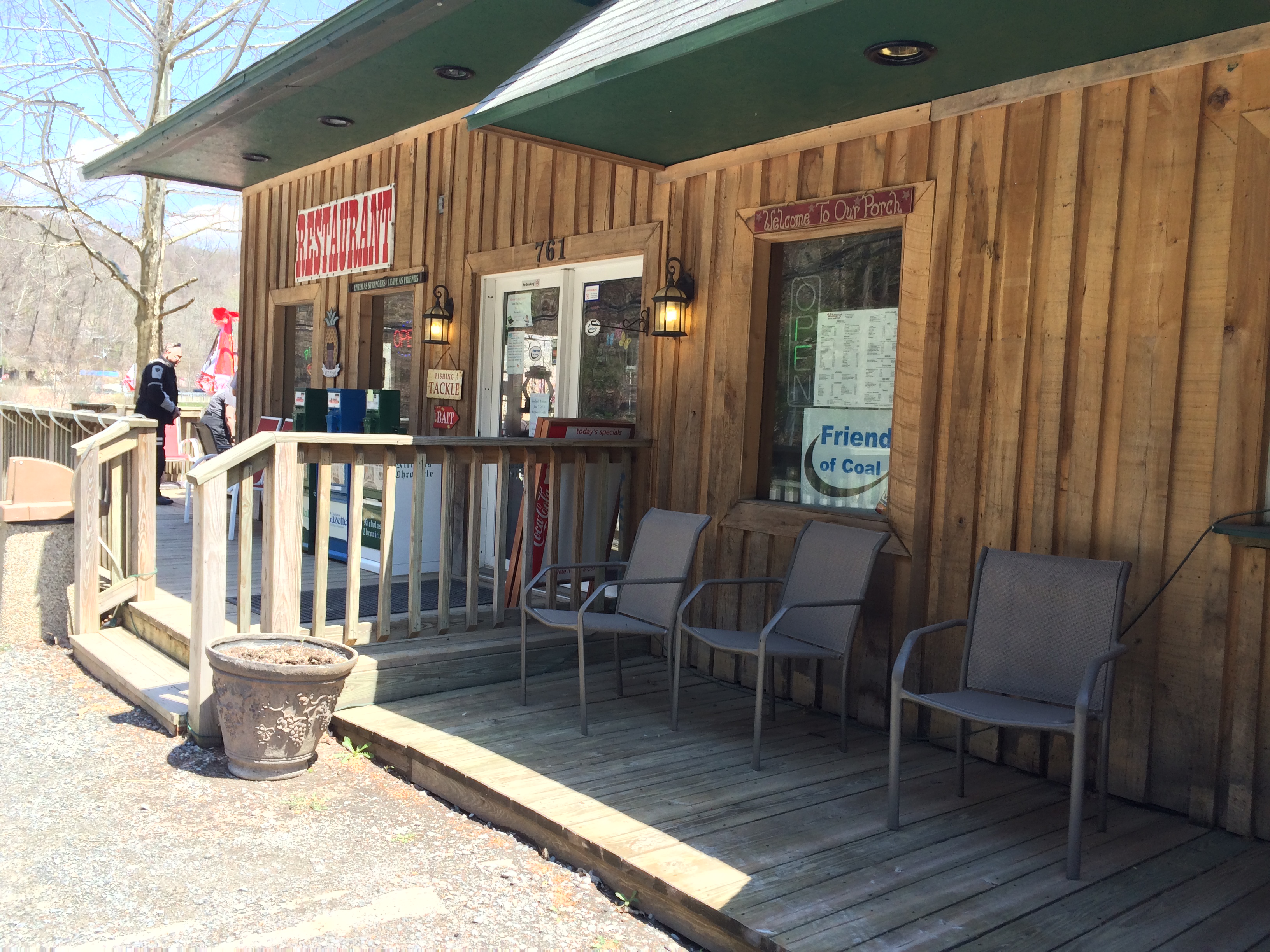
Mumsey's Iron Skillet

Mumsey's Iron Skillet

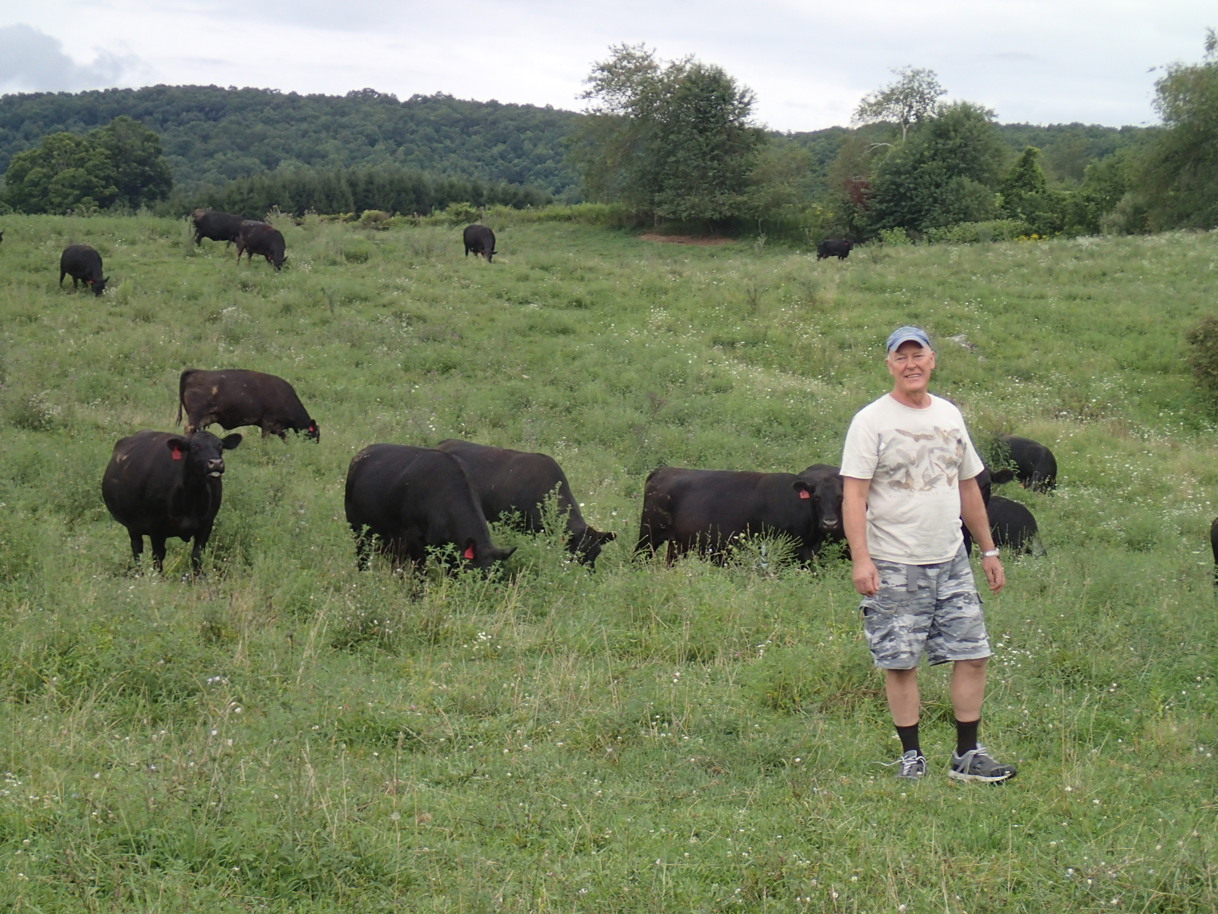
Stocker Rainbow
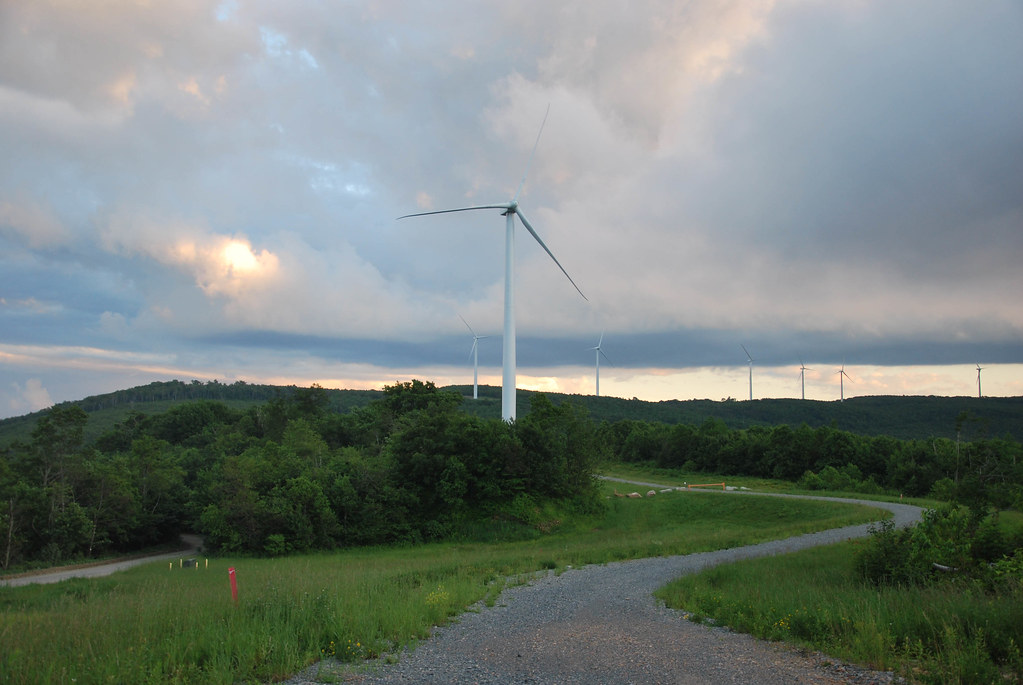
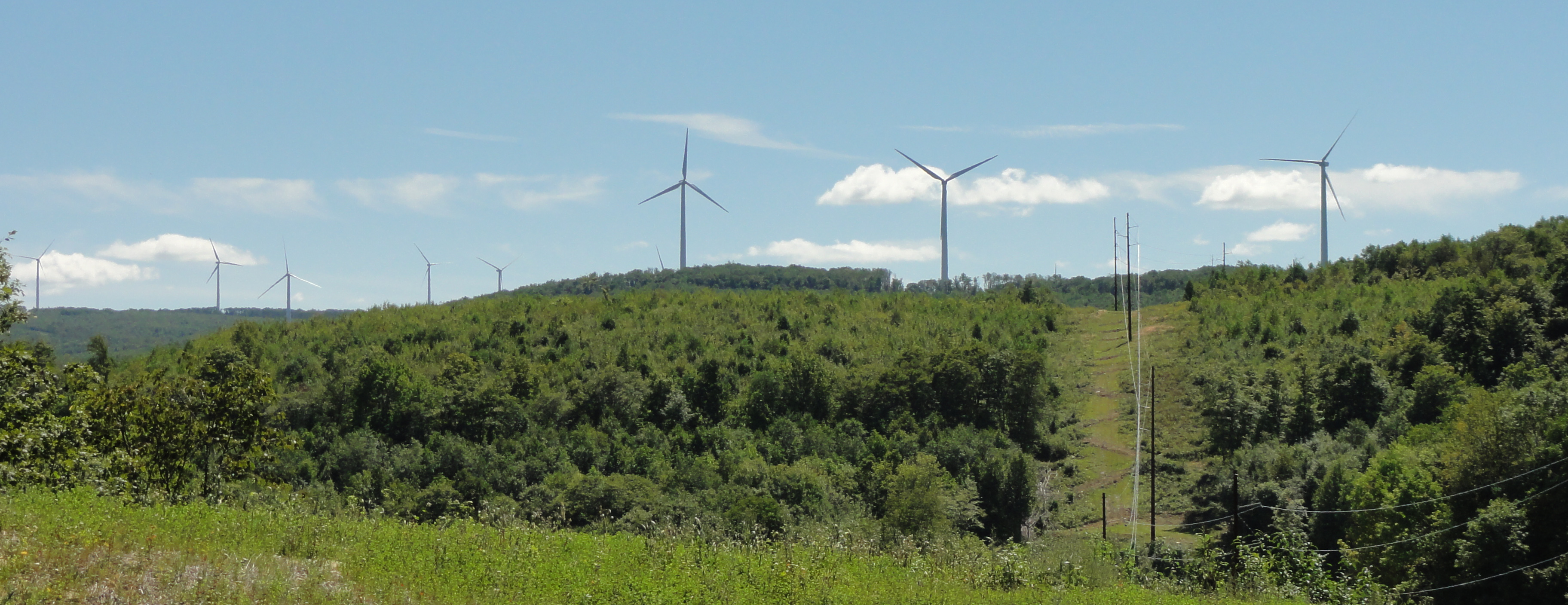
Beech Ridge Wind Farm
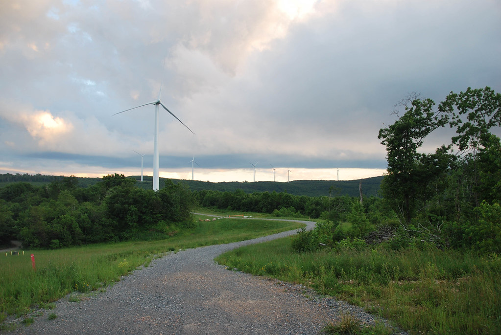
Beech Ridge Wind Farm
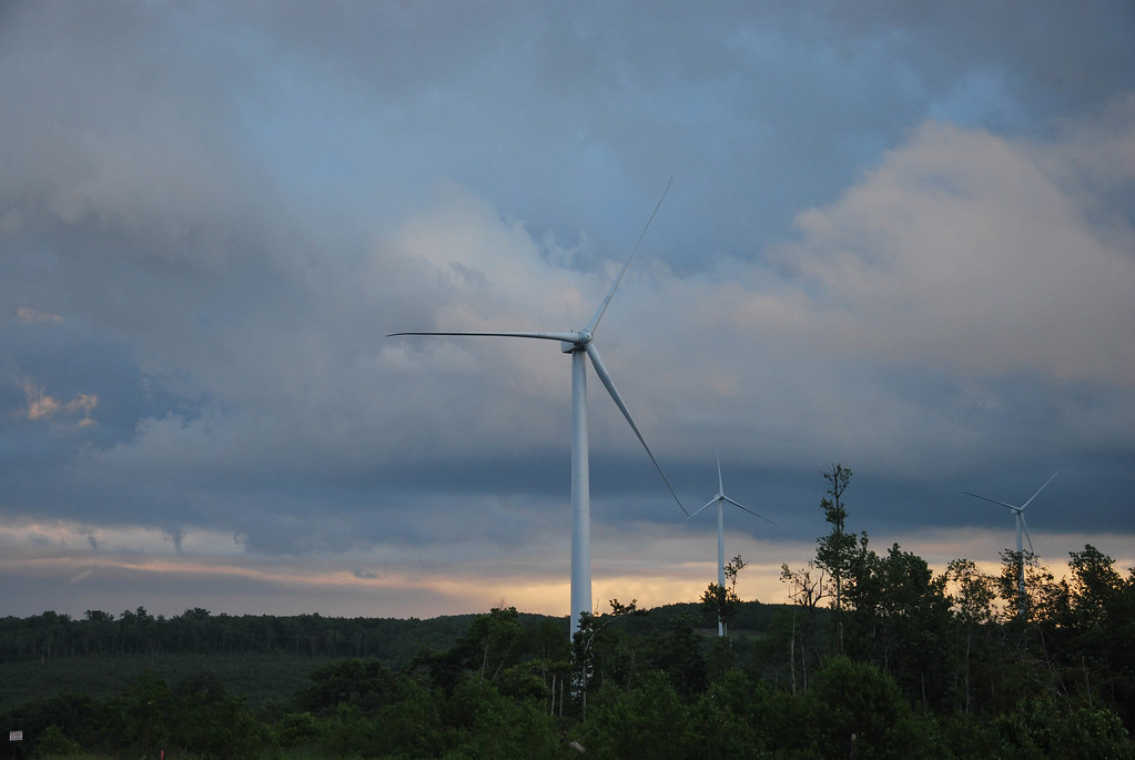
Beech Ridge Wind Farm
Topographic Map of Clearco Rd, Leivasy, WV, USA
Find elevation by address:

Places near Clearco Rd, Leivasy, WV, USA:
Greenbrier County
Grassy Ck Rd, Fenwick, WV, USA
Western
Sky Way
2455 Anjean Rd
Sunlight
Leivasy
Fenwick
Richwood
East Main Street
80 E Walnut St
Panther Camp Road
1357 Airport Rd
Nettie
Kentucky
Fernbush Drive
6344 Snowhill Rd
Rock Camp Road
8321 Leonard-cordova Rd
Summit Lake Campground
Recent Searches:
- Elevation of Corso Fratelli Cairoli, 35, Macerata MC, Italy
- Elevation of Tallevast Rd, Sarasota, FL, USA
- Elevation of 4th St E, Sonoma, CA, USA
- Elevation of Black Hollow Rd, Pennsdale, PA, USA
- Elevation of Oakland Ave, Williamsport, PA, USA
- Elevation of Pedrógão Grande, Portugal
- Elevation of Klee Dr, Martinsburg, WV, USA
- Elevation of Via Roma, Pieranica CR, Italy
- Elevation of Tavkvetili Mountain, Georgia
- Elevation of Hartfords Bluff Cir, Mt Pleasant, SC, USA