Elevation of Airport Rd, Fenwick, WV, USA
Location: United States > West Virginia > Nicholas County > Kentucky >
Longitude: -80.636024
Latitude: 38.2408206
Elevation: 830m / 2723feet
Barometric Pressure: 92KPa
Elevation Map:
Satellite Map:
Related Photos:

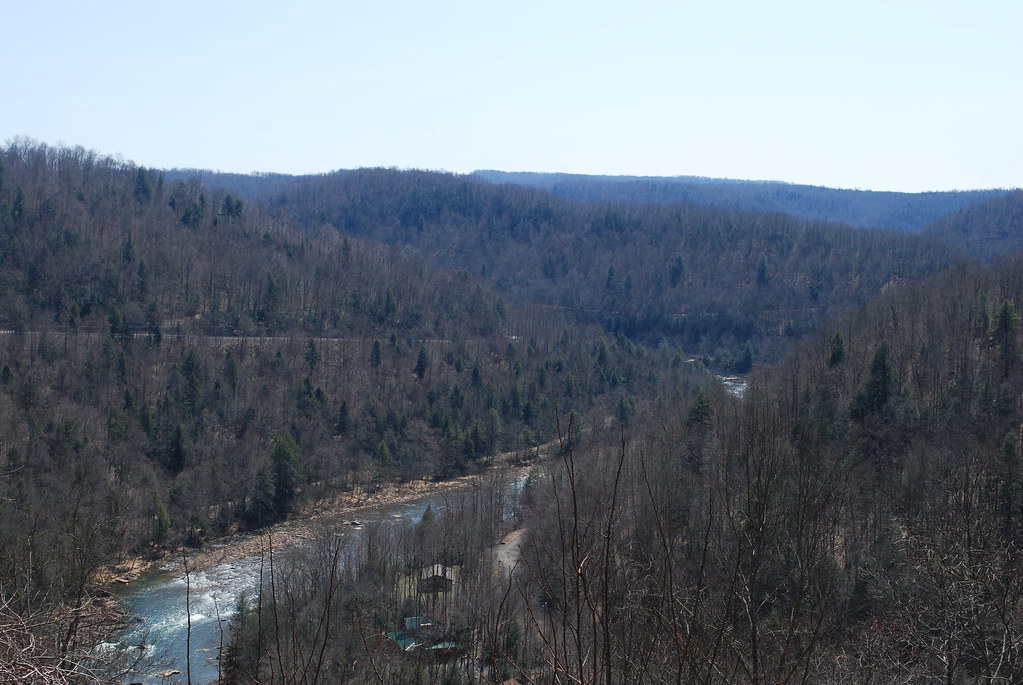
Forever Flowing

Cranberry River

Flowing Down the Cranberry
#Richwood beauty. #WV #summer

New Year's Day on the Cranberry River

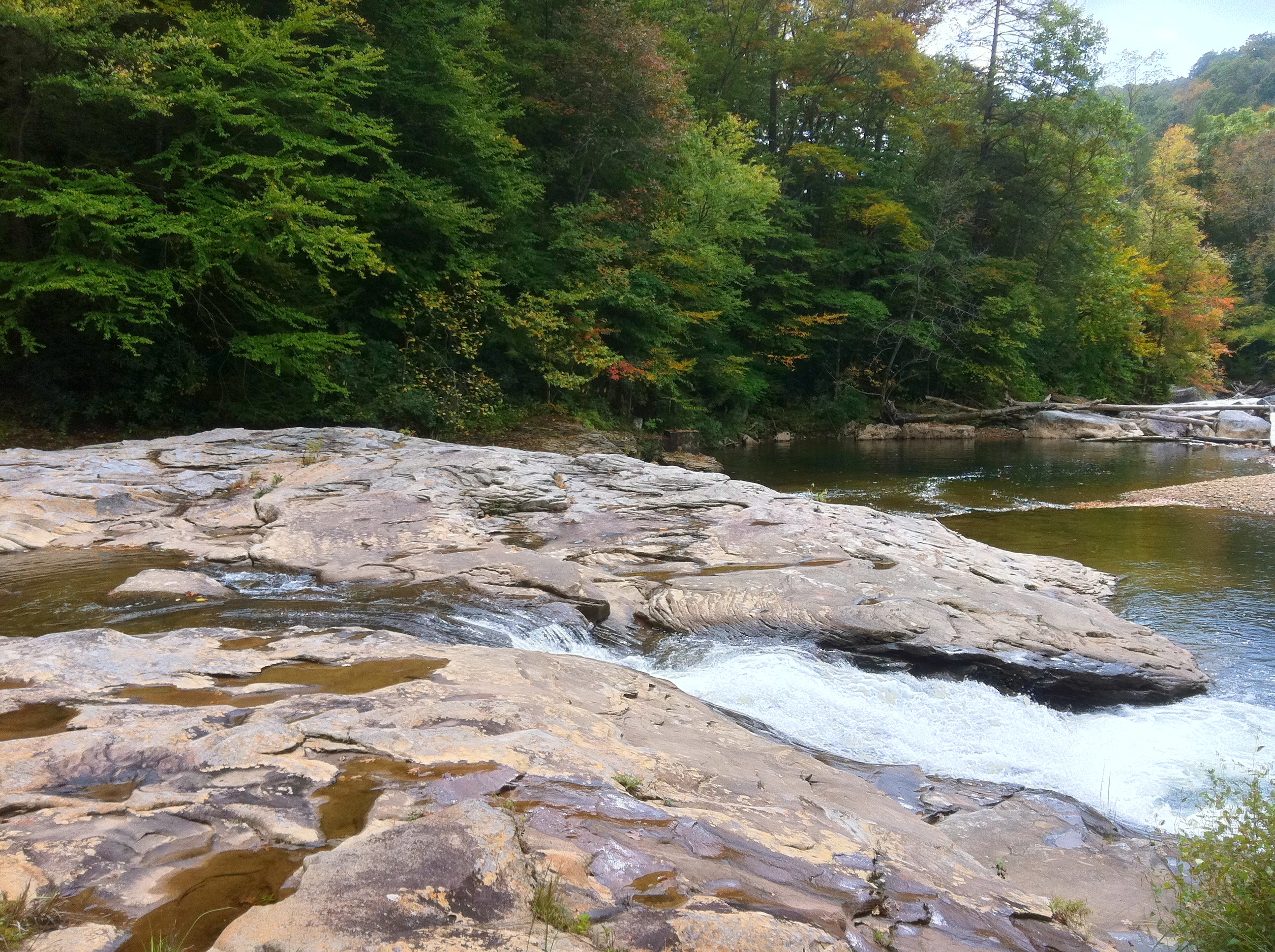
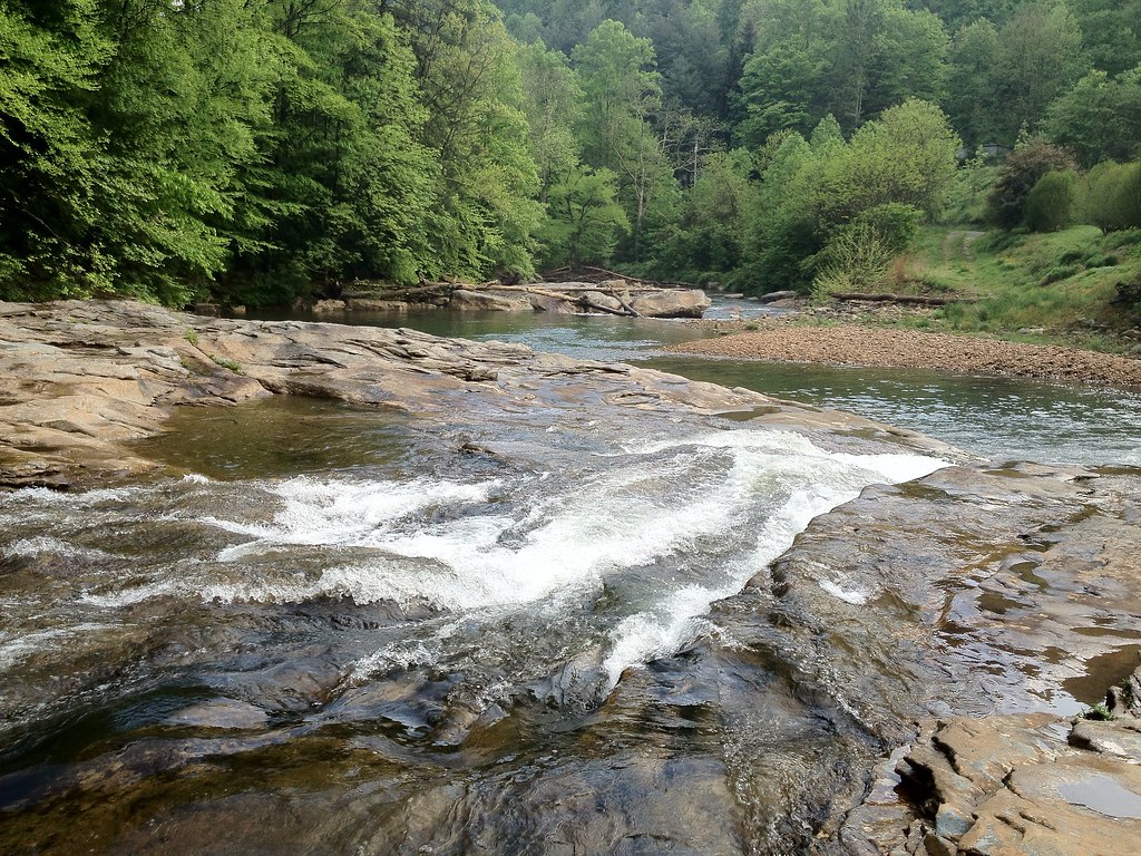
Cranberry Rapids
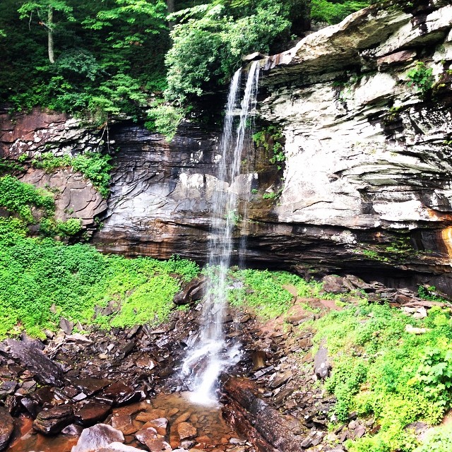
Rudolph Falls
autumnal cranberry
cranberry colors
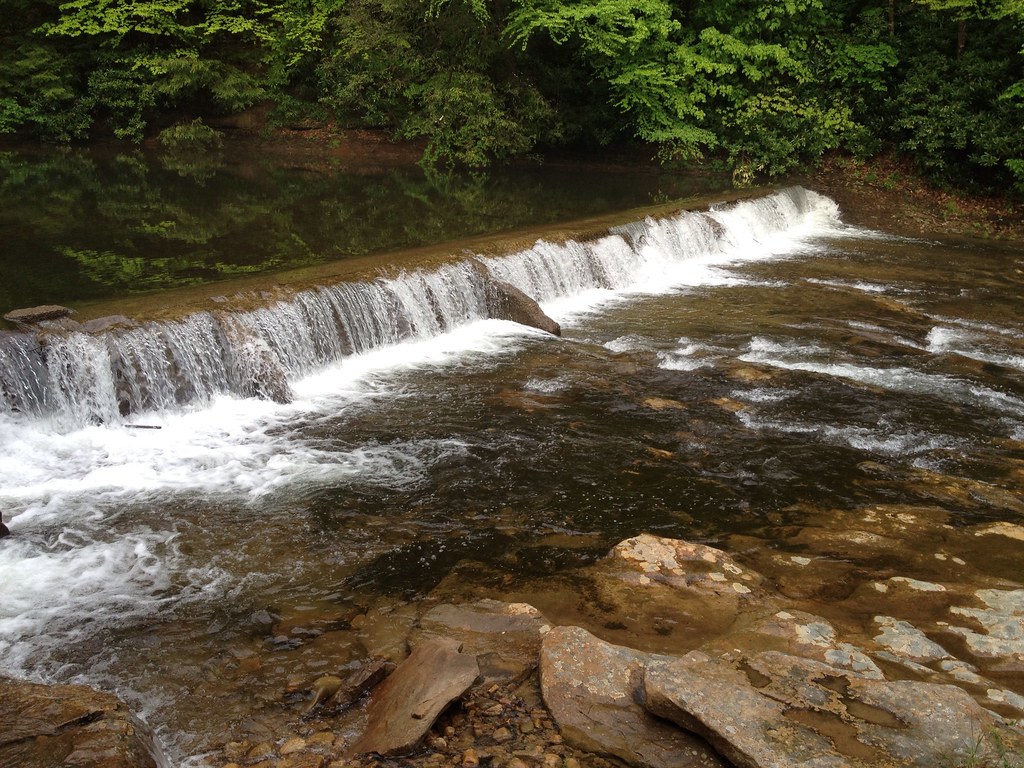
Richwood Falls
Richwood Falls
Rudolph Falls
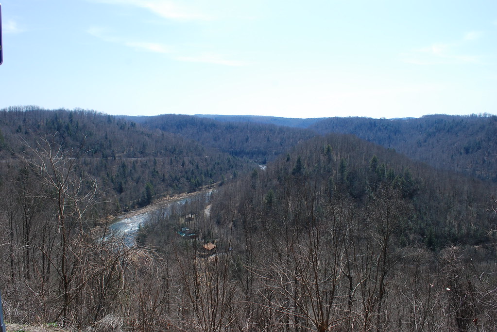
Gauley River at Crupperneck Bend
Gauley River at Crupperneck Bend
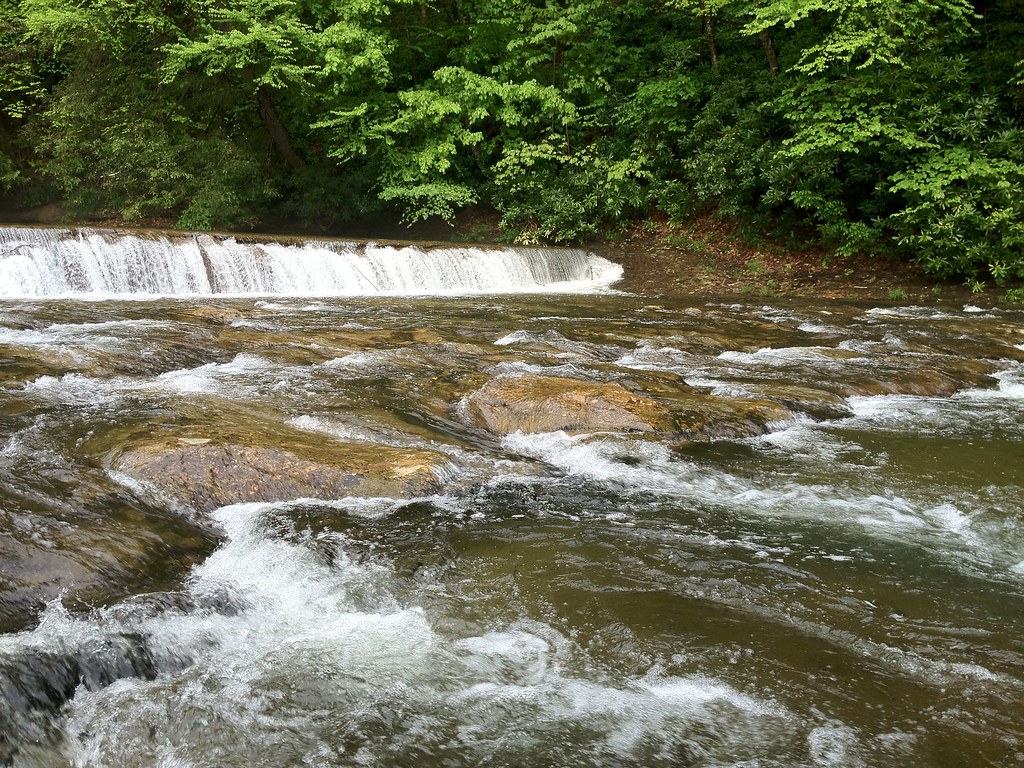
Richwood Falls
Clear Water
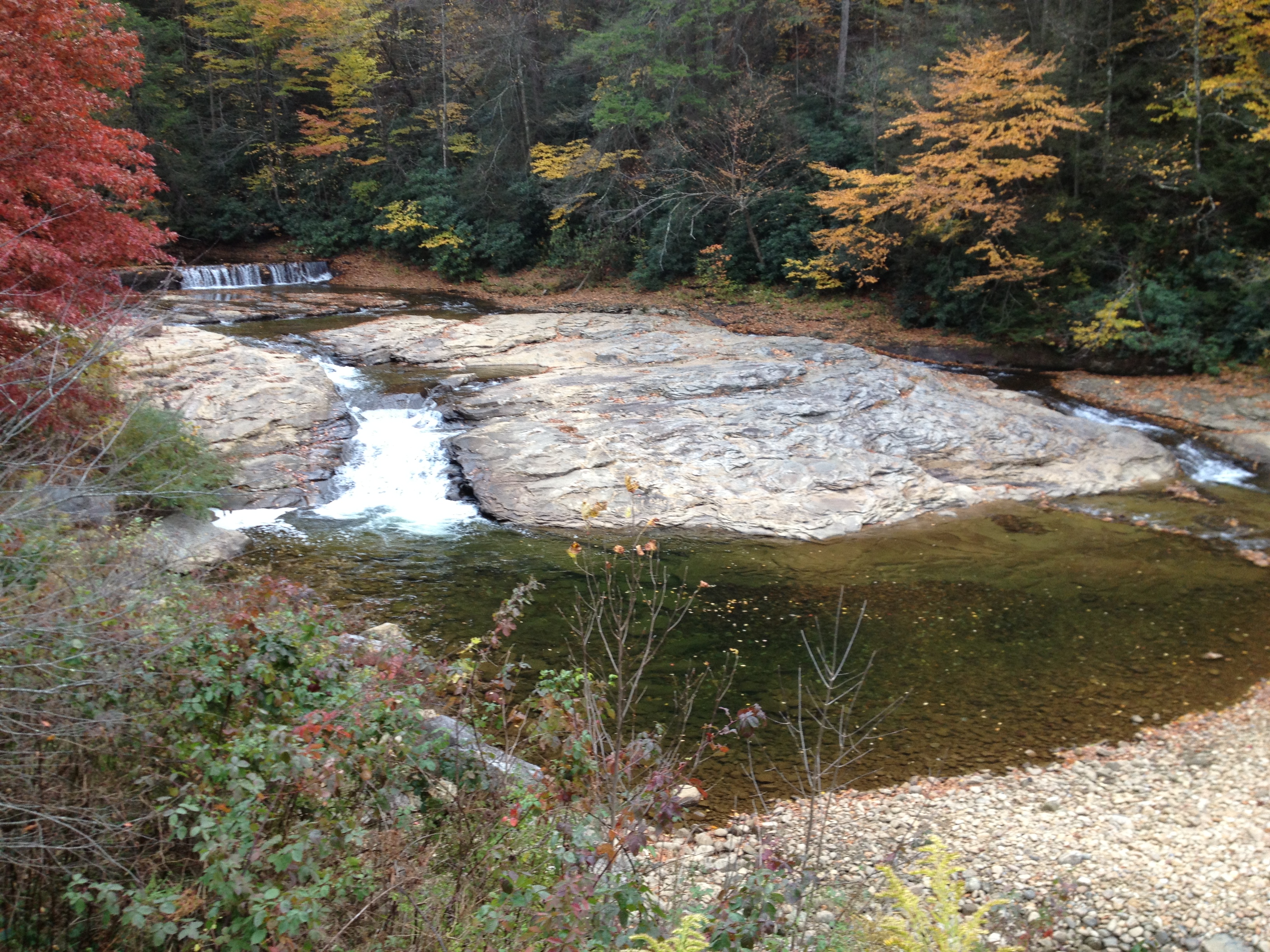
photo (3)
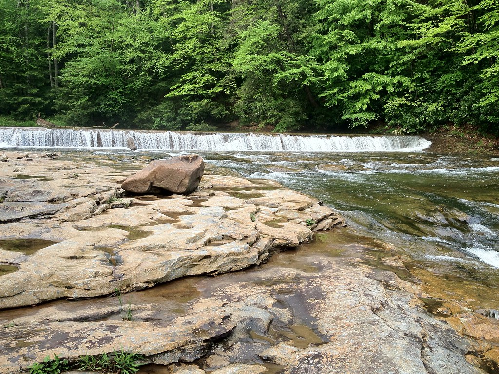
Richwood Falls
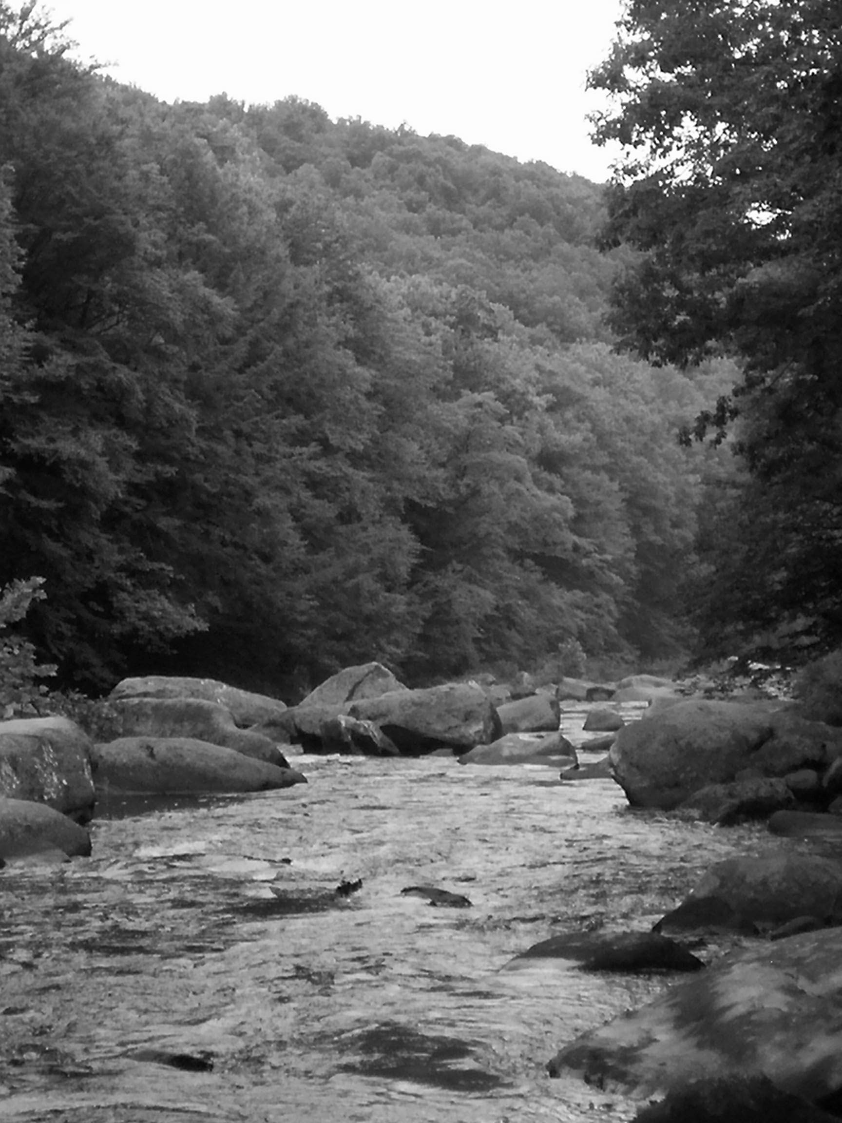
Photo of Cranberry in Richwood West Virginia 7-6-07
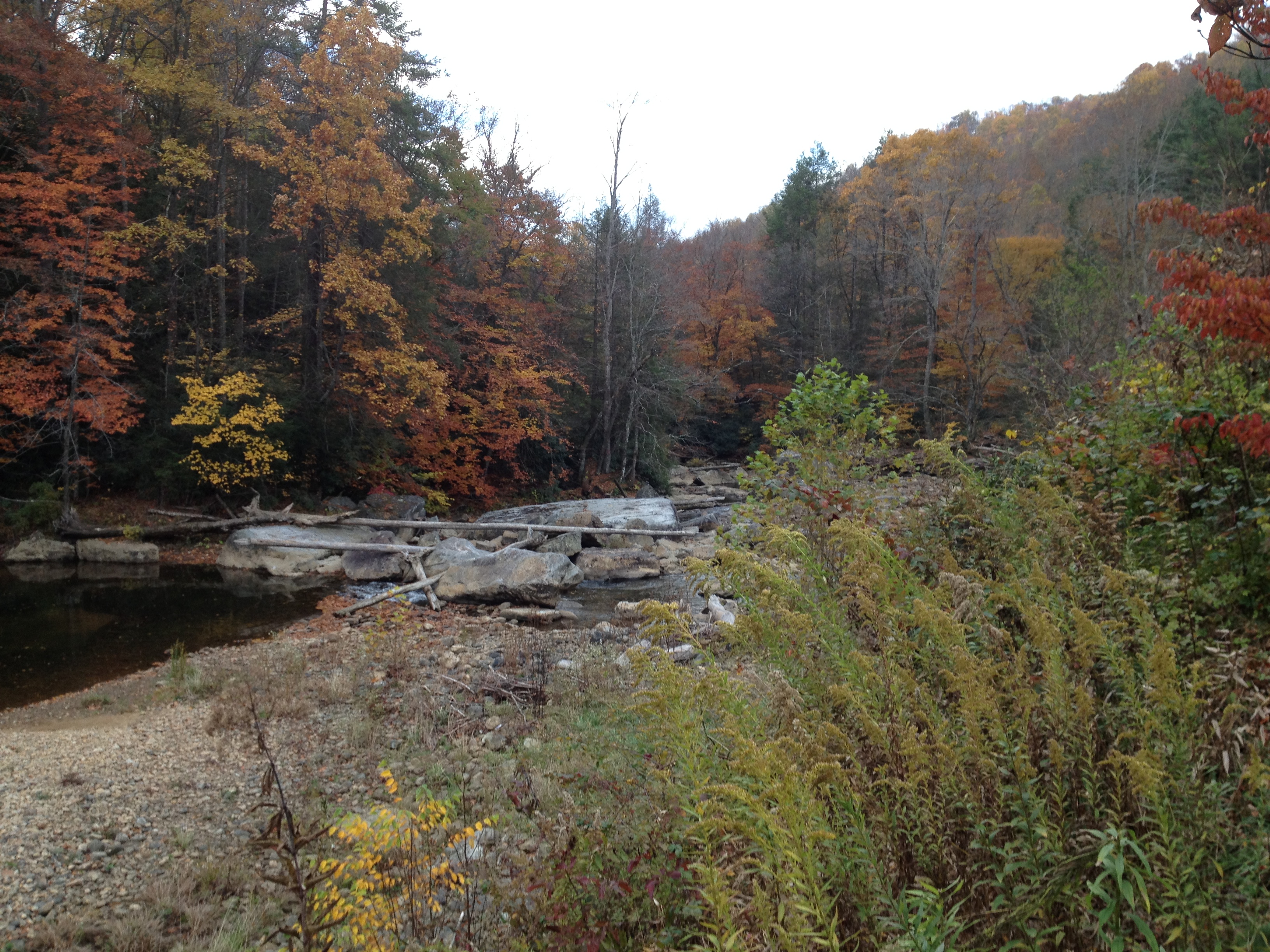
photo (2)

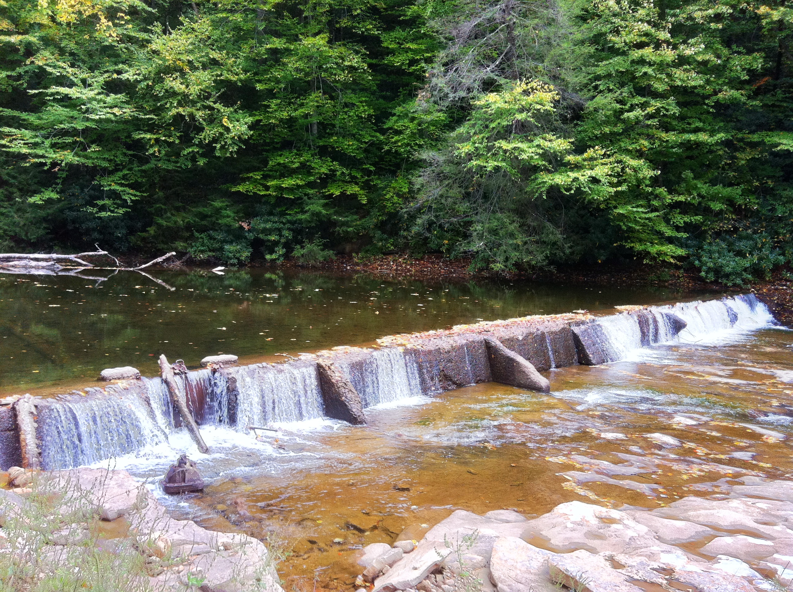
Richwood Falls
Topographic Map of Airport Rd, Fenwick, WV, USA
Find elevation by address:

Places near Airport Rd, Fenwick, WV, USA:
Curtin
Fenwick
Nettie
Crupperneck Road
Fernbush Drive
Kentucky
Grassy Ck Rd, Fenwick, WV, USA
Beaver
Craigsville
Leivasy
Richwood
92 Cemco Rd
16312 W Webstrer Rd
East Main Street
80 E Walnut St
Allingdale
Calvin
Camden-on-gauley
Webster Rd, Summersville, WV, USA
6344 Snowhill Rd
Recent Searches:
- Elevation of Corso Fratelli Cairoli, 35, Macerata MC, Italy
- Elevation of Tallevast Rd, Sarasota, FL, USA
- Elevation of 4th St E, Sonoma, CA, USA
- Elevation of Black Hollow Rd, Pennsdale, PA, USA
- Elevation of Oakland Ave, Williamsport, PA, USA
- Elevation of Pedrógão Grande, Portugal
- Elevation of Klee Dr, Martinsburg, WV, USA
- Elevation of Via Roma, Pieranica CR, Italy
- Elevation of Tavkvetili Mountain, Georgia
- Elevation of Hartfords Bluff Cir, Mt Pleasant, SC, USA