Elevation of Palmyra, ME, USA
Location: United States > Maine > Somerset County >
Longitude: -69.358658
Latitude: 44.8464519
Elevation: 93m / 305feet
Barometric Pressure: 100KPa
Elevation Map:
Satellite Map:
Related Photos:
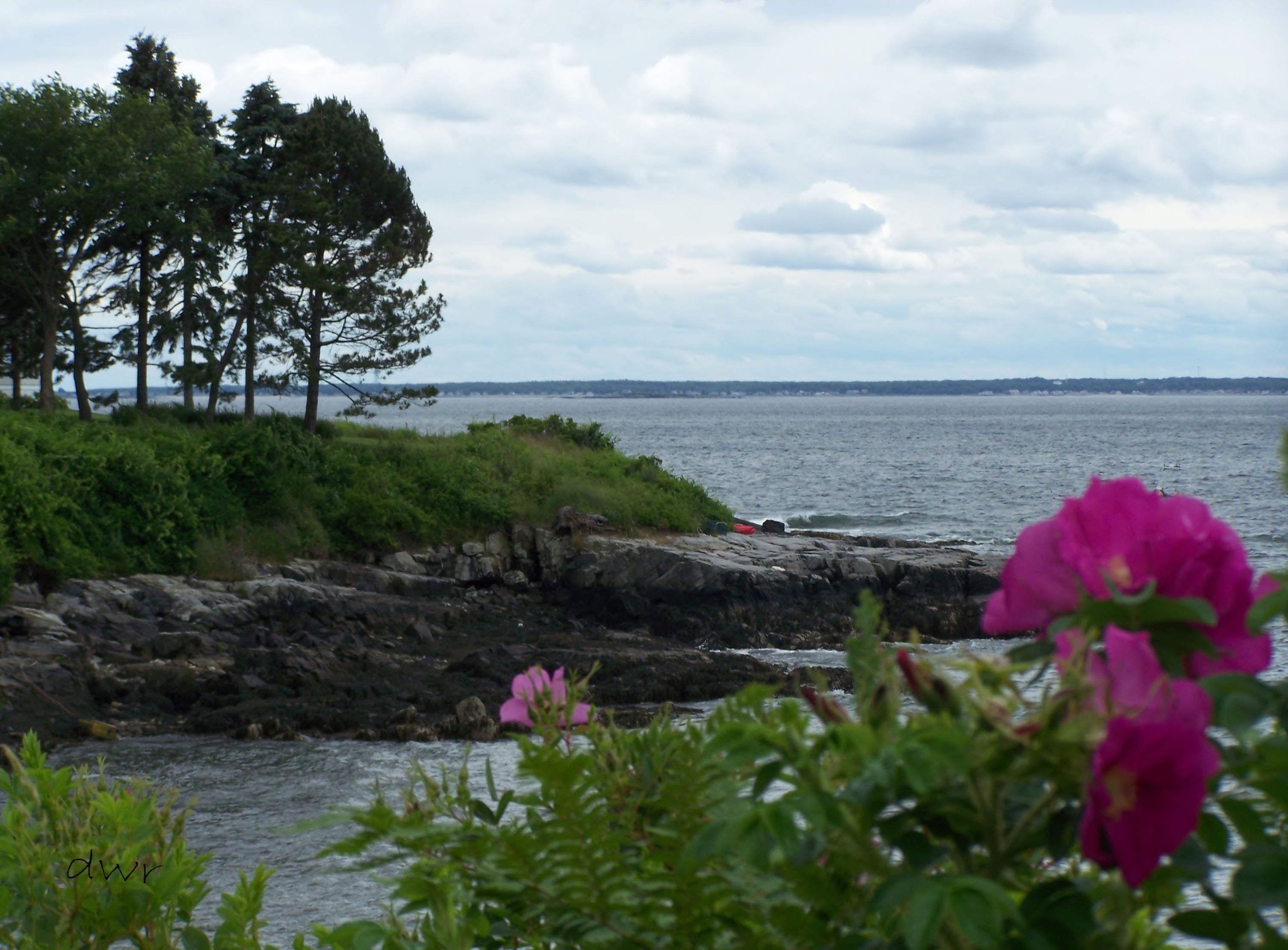
Senic View at Black Point

lake view, left
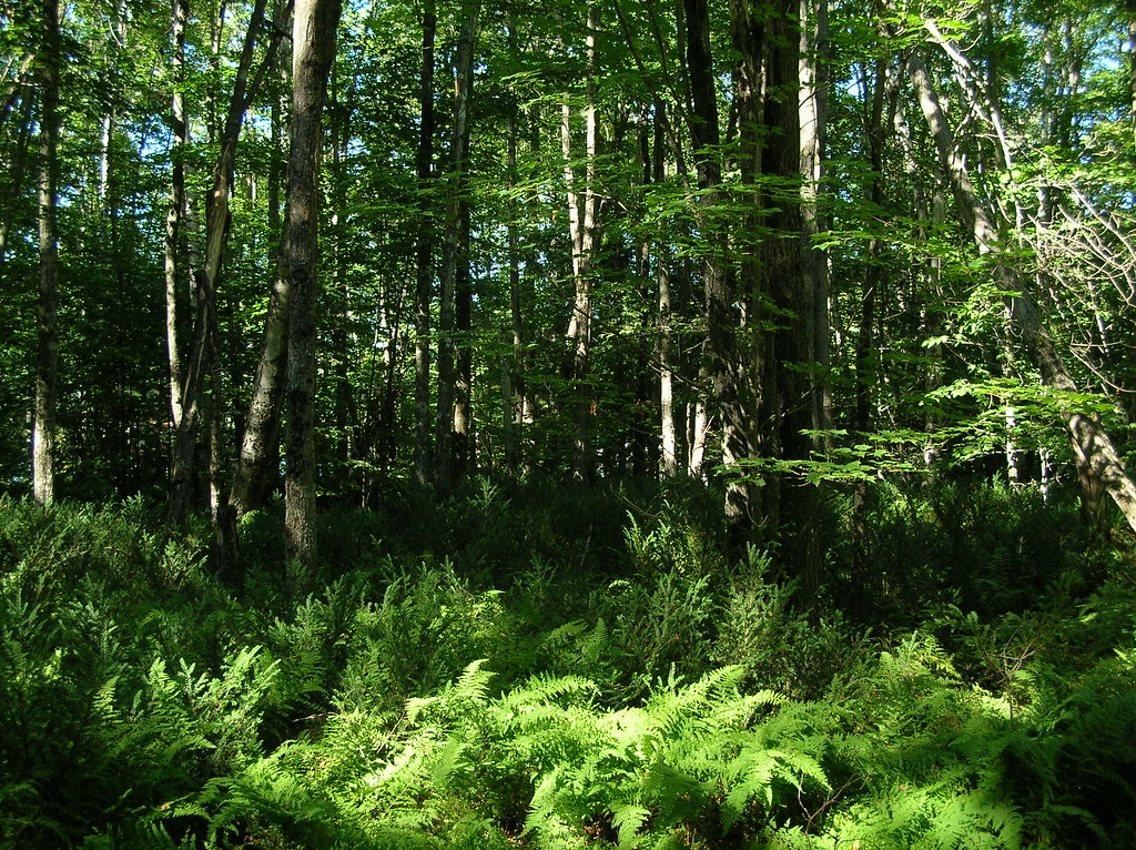
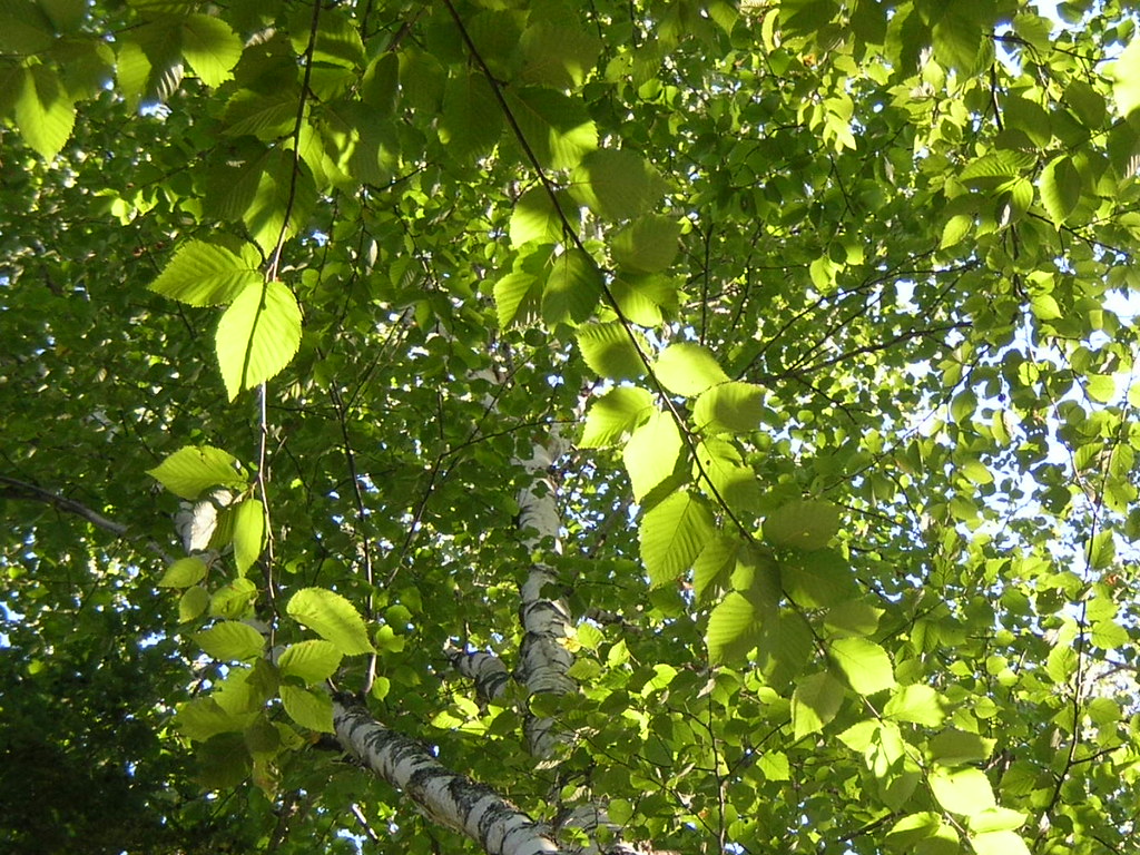
trees and ferns
2014 10 08 USA ME Palmyra 76R
2015 11 02 USA ME Palmyra - out for a walk
hammock view of a birch on Birch Island

Some pics of my landscapes

Sunset - HDR
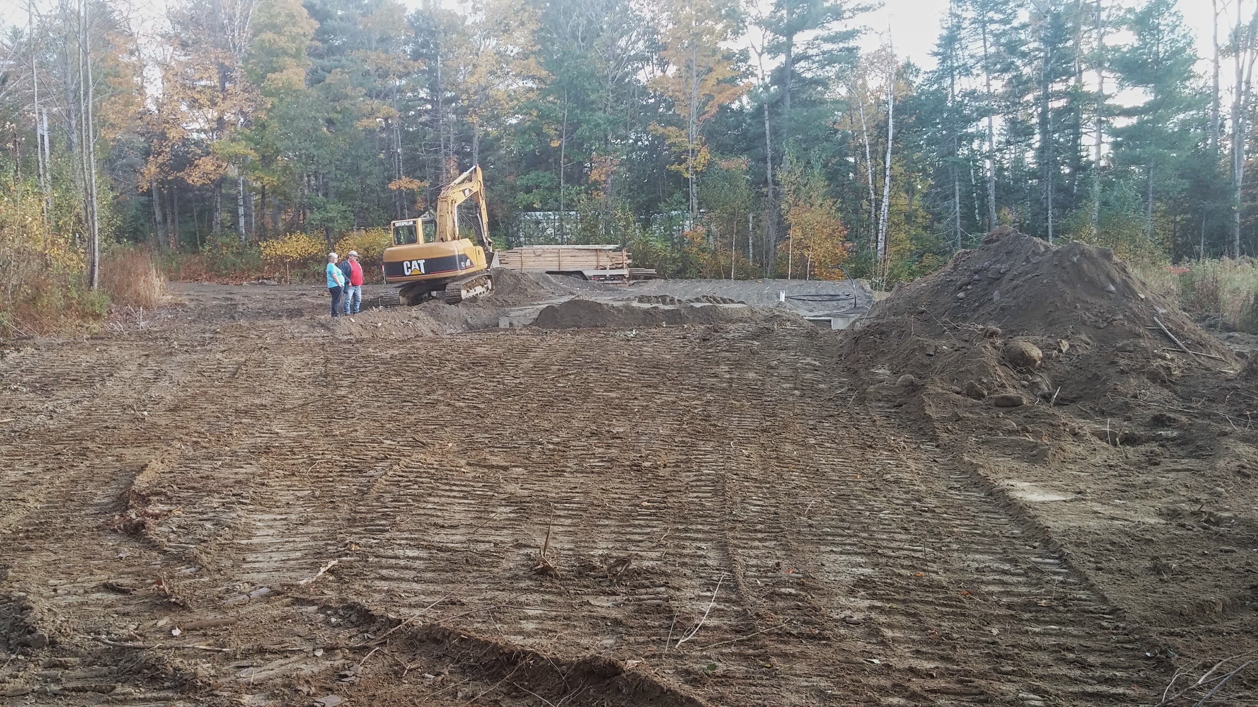
The stairs were delivered.
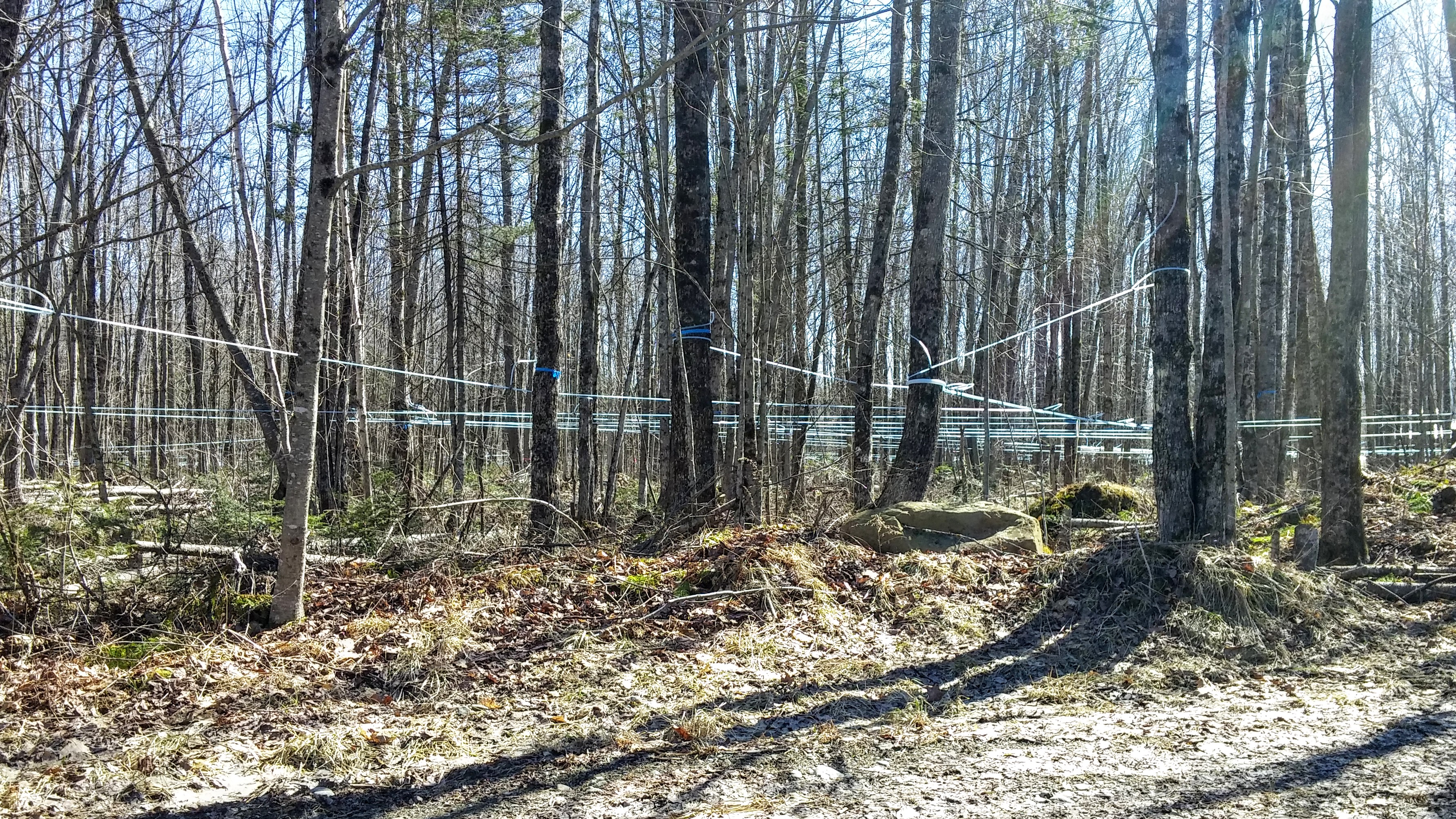
Maple Syrup 0320161319b

Waterfall in Maine
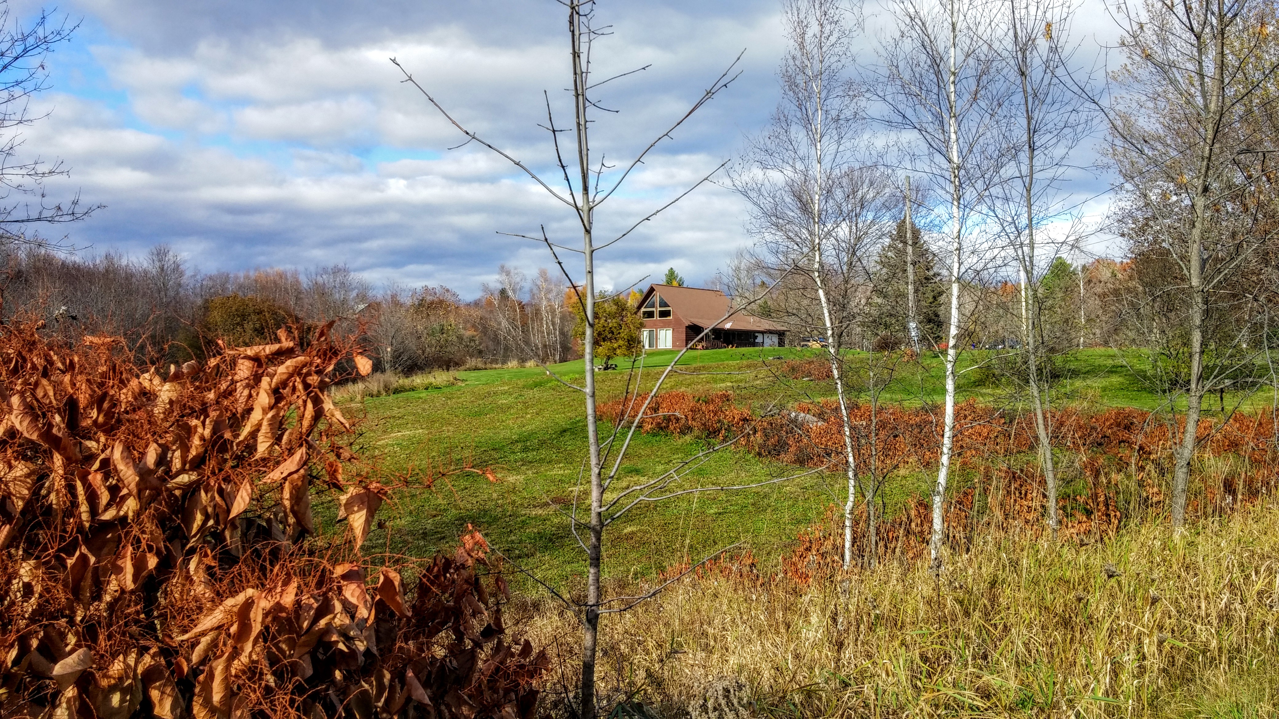
nice light at the edge of the woods
2015 11 02 USA ME Palmyra - out for a walk

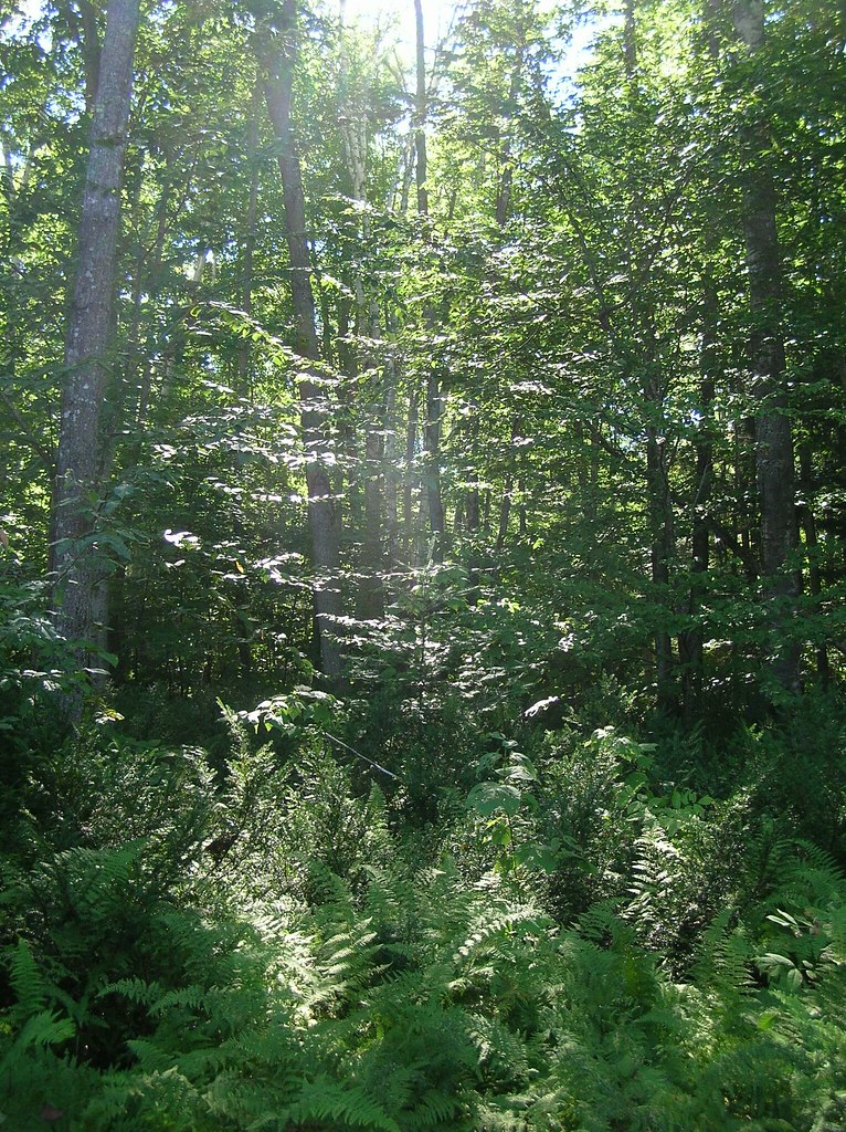
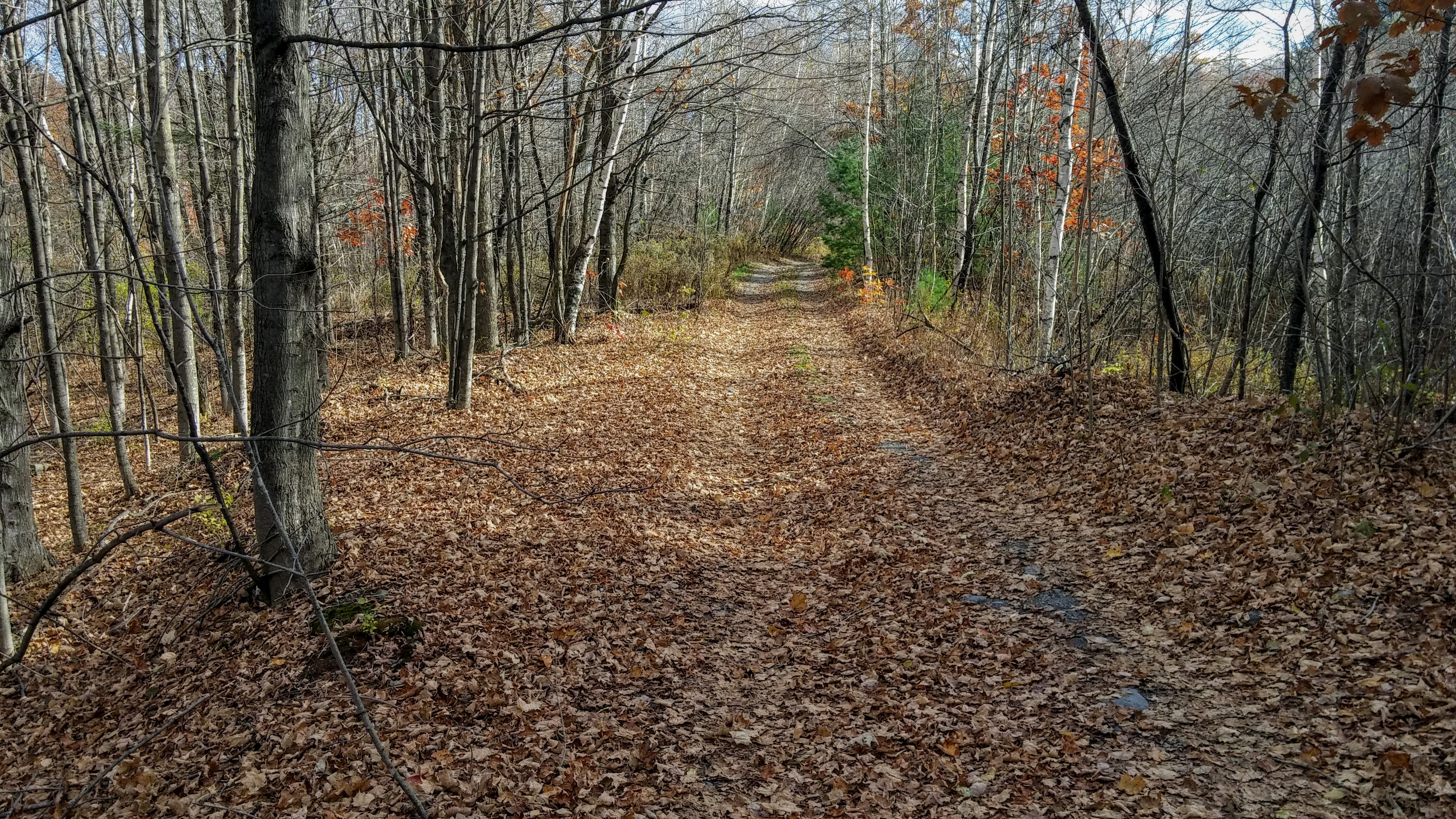
2015 11 04 USA ME Palmyra - walk through forest
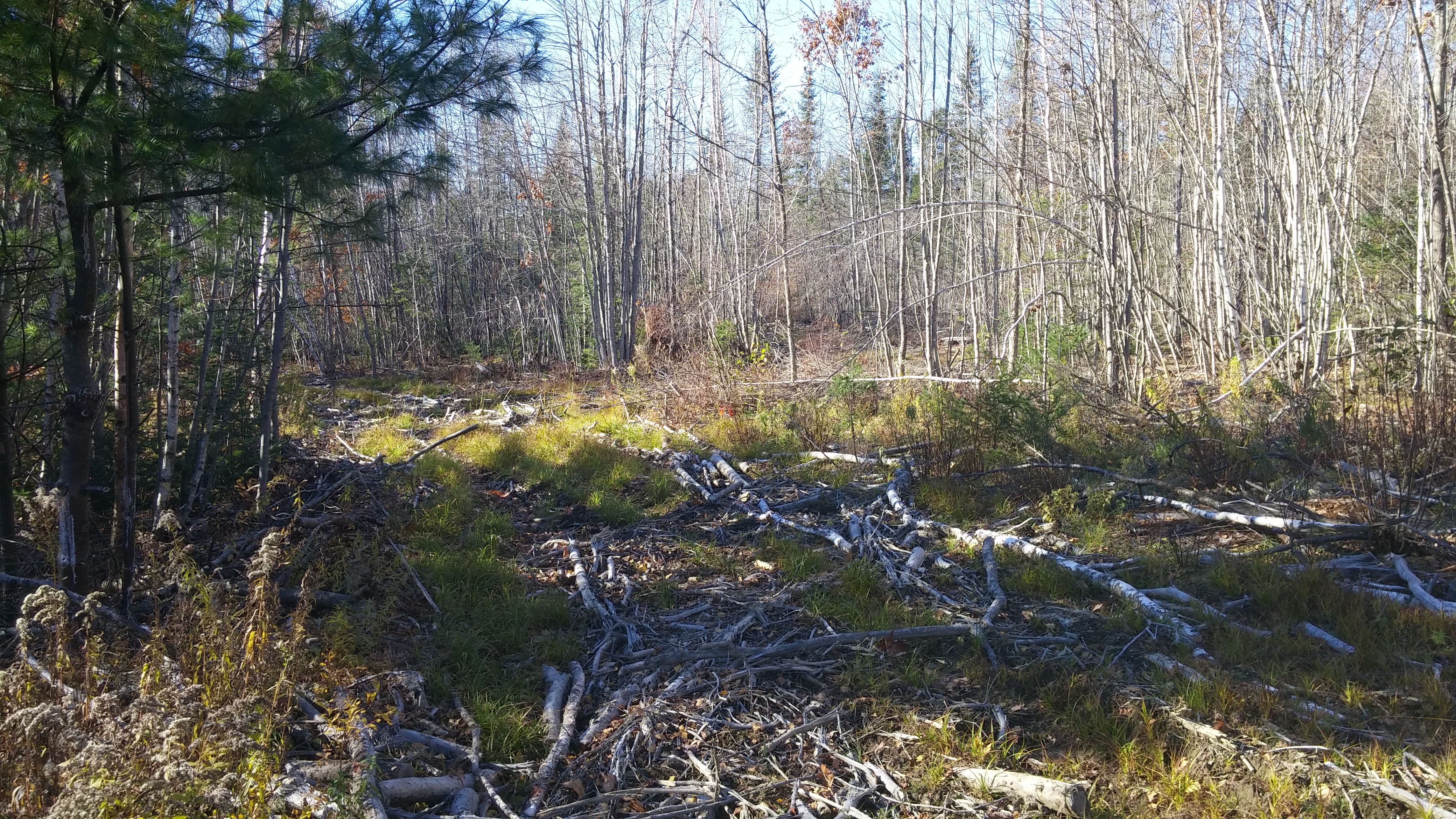
2015 11 04 USA ME Palmyra - walk through forest
Topographic Map of Palmyra, ME, USA
Find elevation by address:

Places in Palmyra, ME, USA:
Places near Palmyra, ME, USA:
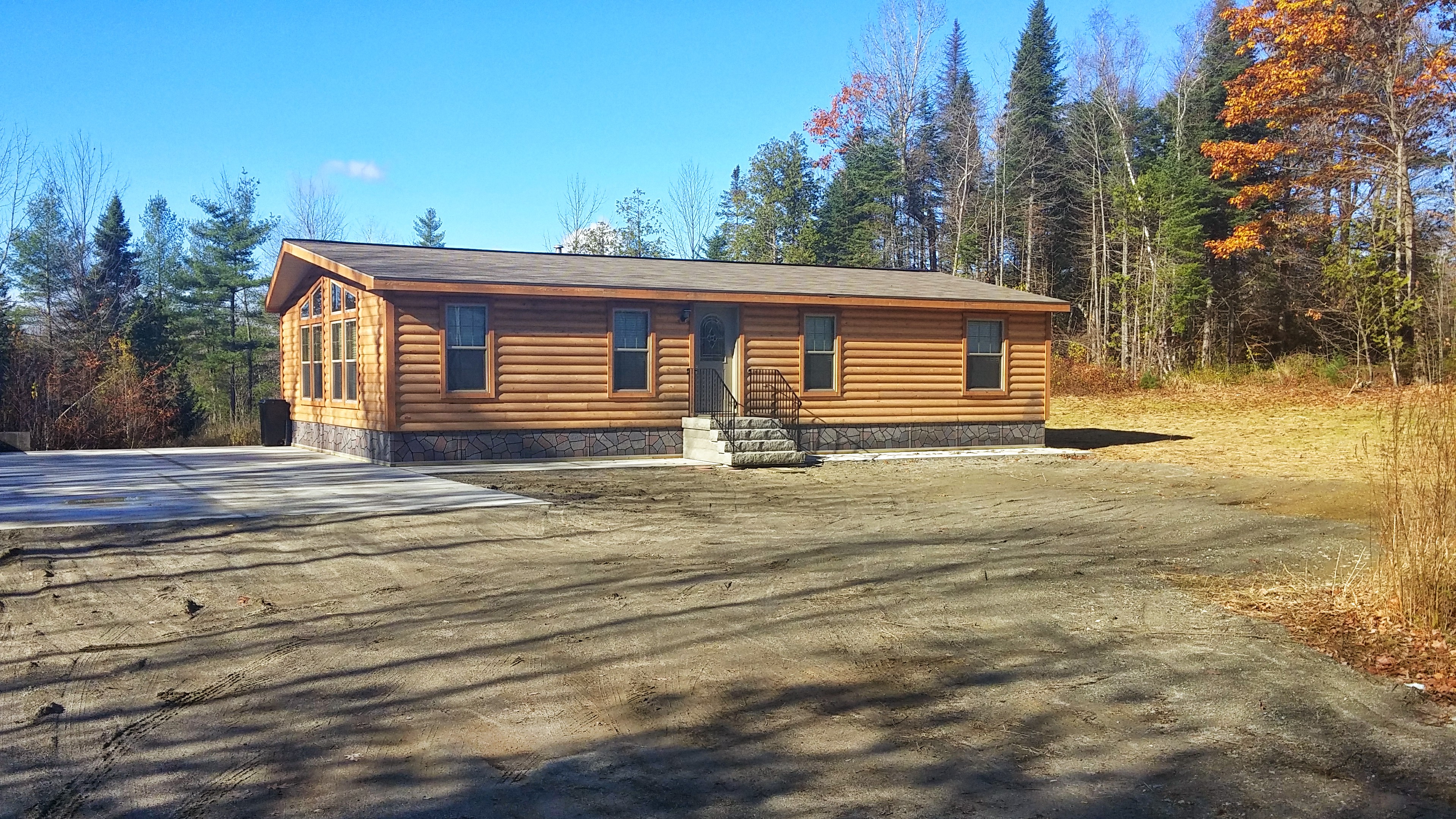
236 Madawaska Rd
Waverly Ave, Pittsfield, ME, USA
Oxbow Rd, Palmyra, ME, USA
371 Waverly Ave
110 Noble Ct
Morrill Street
129 Morrill St
265 Me-69
265 Me-69
Pittsfield
Pittsfield
118 Manson St
118 Manson St
339 Nokomis Rd
199 Library St
137 Highland St
165 Summer St
200 Chester St
Woodpecker Avenue
Saint Albans
Recent Searches:
- Elevation of Corso Fratelli Cairoli, 35, Macerata MC, Italy
- Elevation of Tallevast Rd, Sarasota, FL, USA
- Elevation of 4th St E, Sonoma, CA, USA
- Elevation of Black Hollow Rd, Pennsdale, PA, USA
- Elevation of Oakland Ave, Williamsport, PA, USA
- Elevation of Pedrógão Grande, Portugal
- Elevation of Klee Dr, Martinsburg, WV, USA
- Elevation of Via Roma, Pieranica CR, Italy
- Elevation of Tavkvetili Mountain, Georgia
- Elevation of Hartfords Bluff Cir, Mt Pleasant, SC, USA