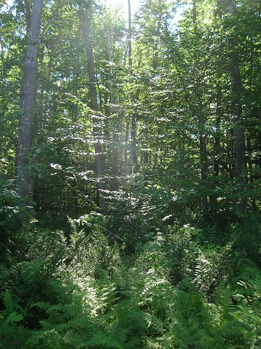
Elevation of Harmony, ME, USA
Location: United States > Maine > Somerset County >
Longitude: -69.546160
Latitude: 44.9739462
Elevation: 95m / 312feet
Barometric Pressure: 100KPa
Related Photos:
Topographic Map of Harmony, ME, USA
Find elevation by address:

Places near Harmony, ME, USA:
8 Water St
Dore Hill Road
Hartland
Hartland Rd, Athens, ME, USA
Stickney Hill Road
Stickney Hill Road
Stickney Hill Road
Stickney Hill Road
Stickney Hill Road
Stickney Hill Road
Stickney Hill Road
Stickney Hill Road
Fox Hill Road
104 Bryant Rd
1 Bryant Rd
75 Pleasant St
25 Me-151
St Albans, ME, USA
Athens
Saint Albans
Recent Searches:
- Elevation of Corso Fratelli Cairoli, 35, Macerata MC, Italy
- Elevation of Tallevast Rd, Sarasota, FL, USA
- Elevation of 4th St E, Sonoma, CA, USA
- Elevation of Black Hollow Rd, Pennsdale, PA, USA
- Elevation of Oakland Ave, Williamsport, PA, USA
- Elevation of Pedrógão Grande, Portugal
- Elevation of Klee Dr, Martinsburg, WV, USA
- Elevation of Via Roma, Pieranica CR, Italy
- Elevation of Tavkvetili Mountain, Georgia
- Elevation of Hartfords Bluff Cir, Mt Pleasant, SC, USA


