Elevation of 8 Water St, Harmony, ME, USA
Location: United States > Maine > Somerset County > Harmony >
Longitude: -69.546005
Latitude: 44.9697917
Elevation: 98m / 322feet
Barometric Pressure: 100KPa
Elevation Map:
Satellite Map:
Related Photos:
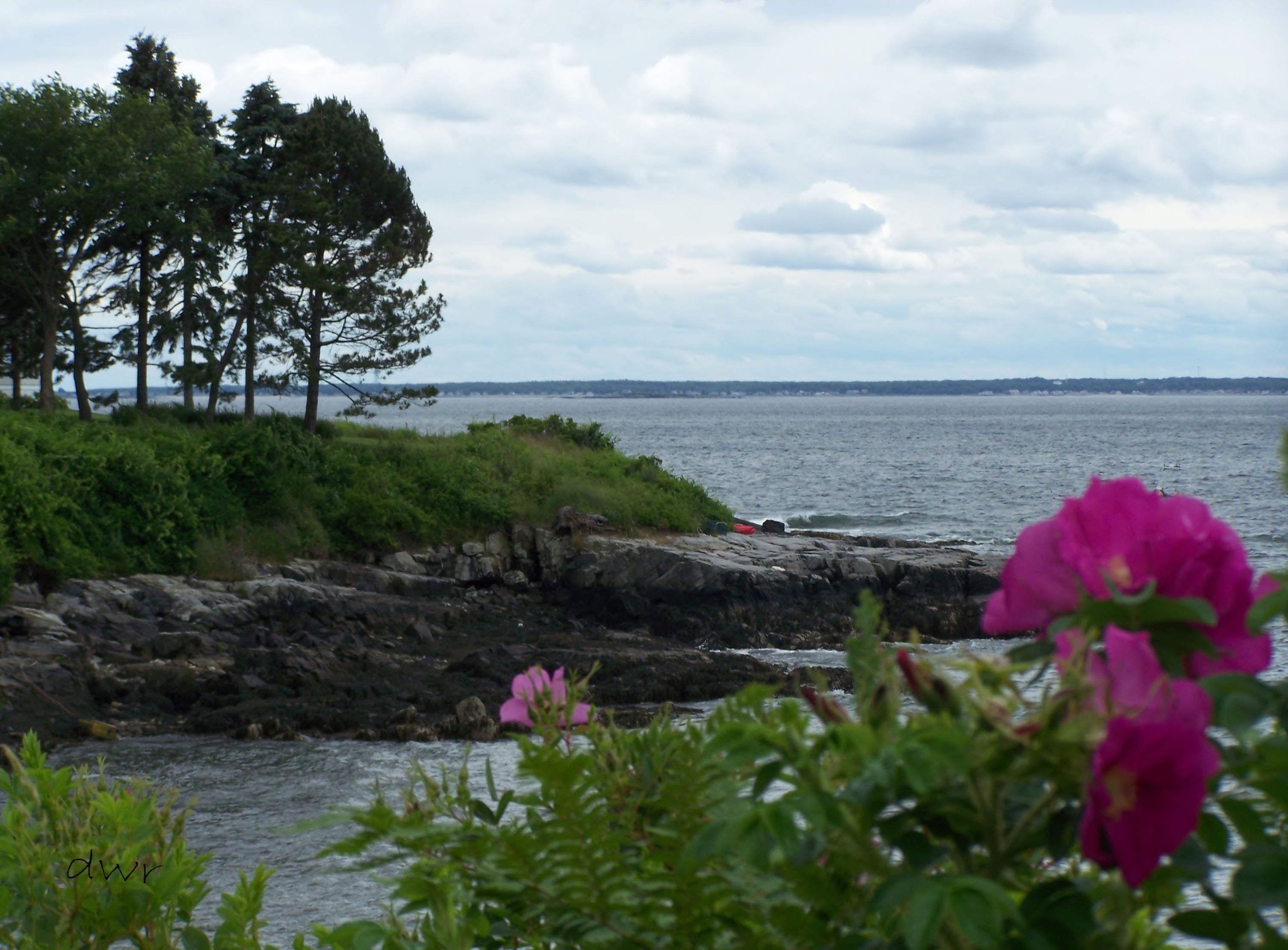
Senic View at Black Point
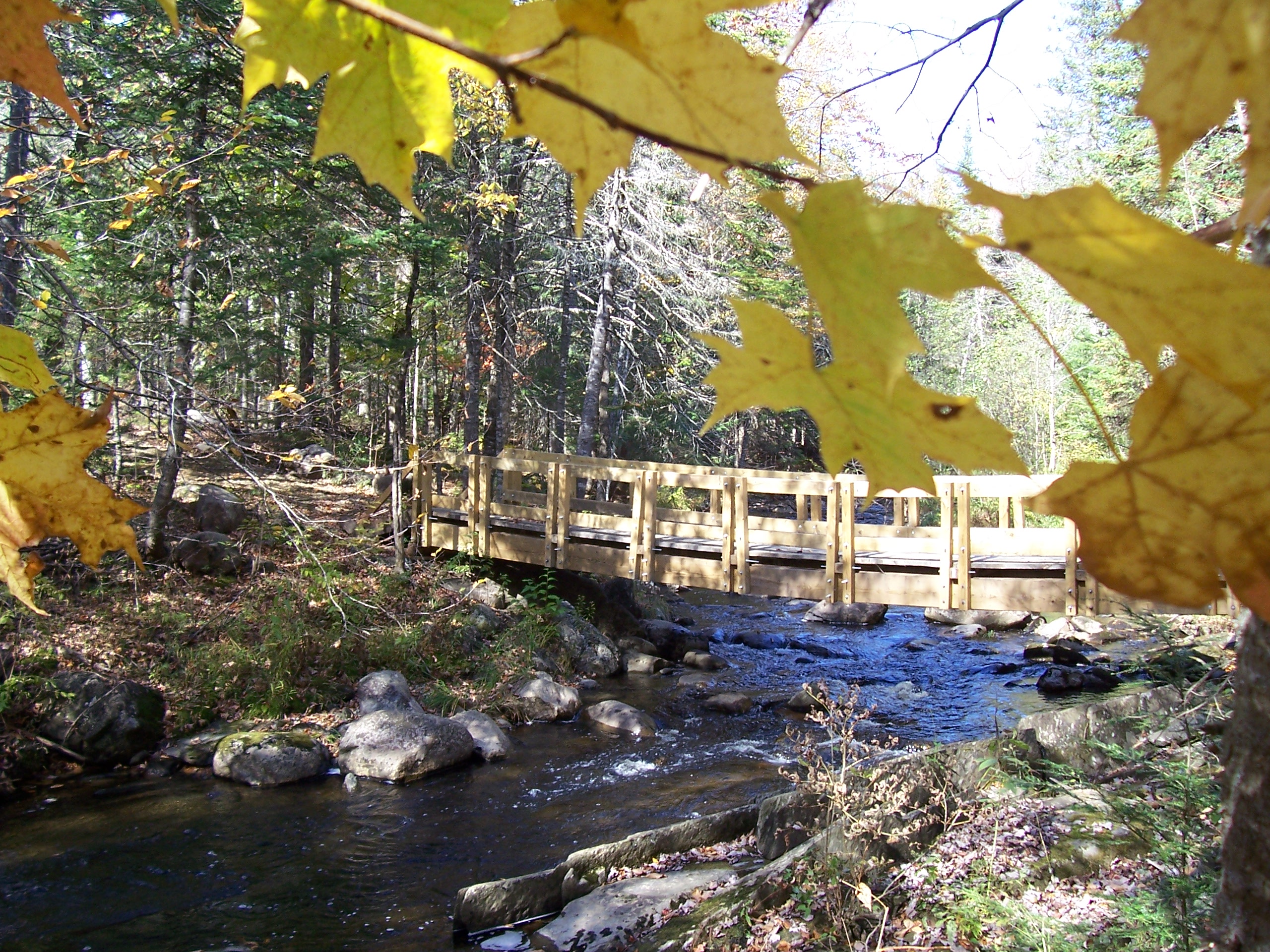
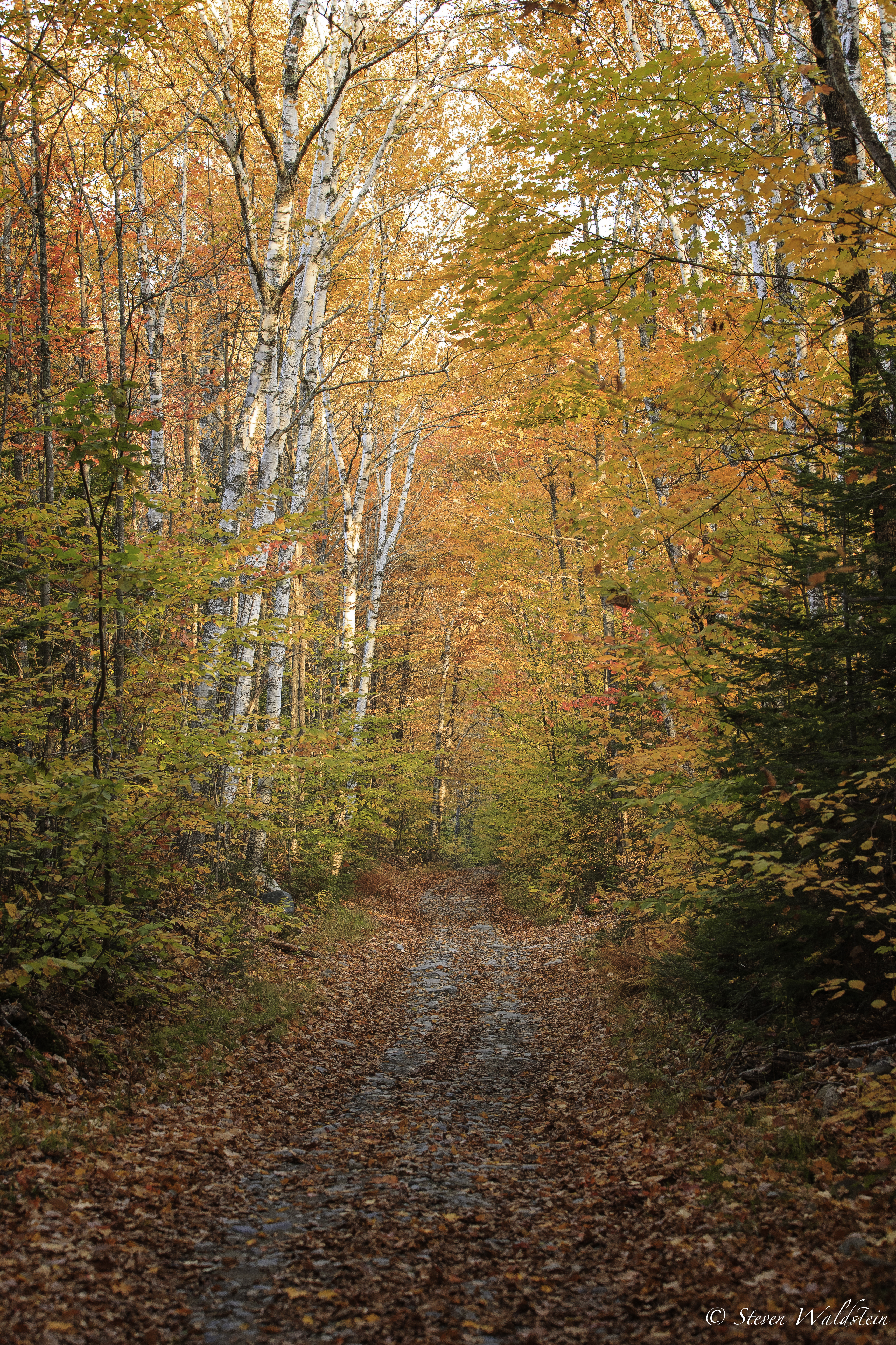
Bridge viewed through Fall Foliage

lake view, left
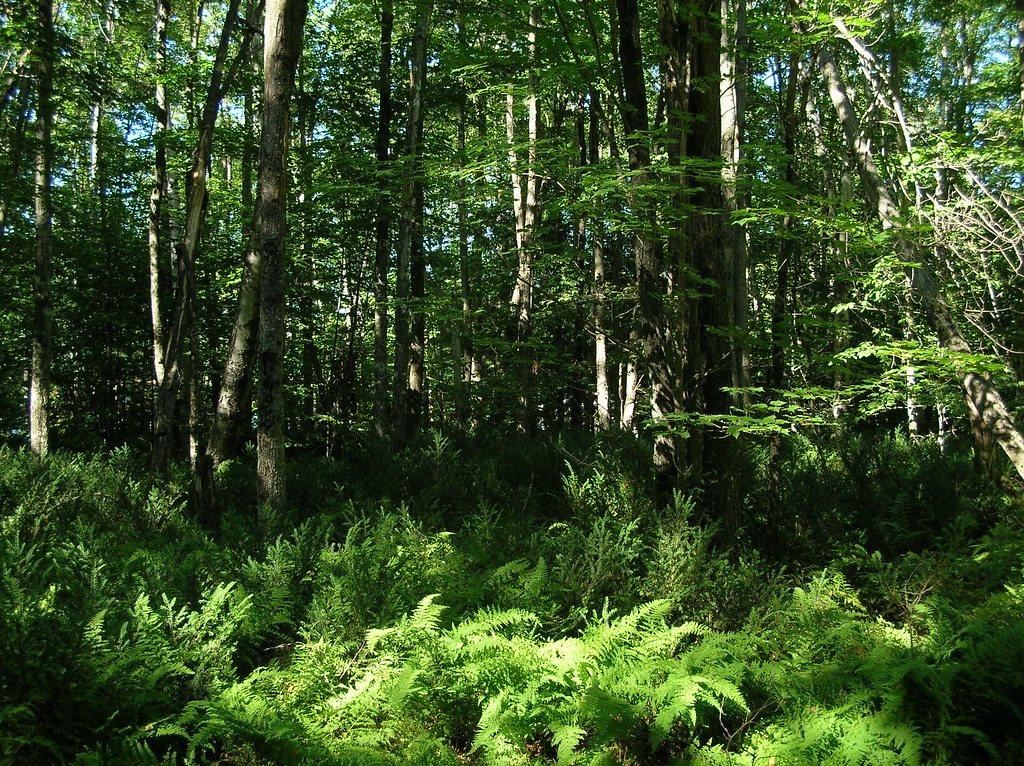
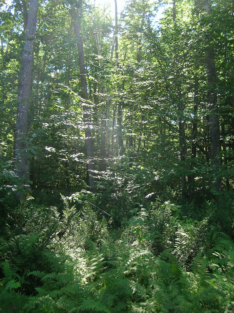
trees and ferns
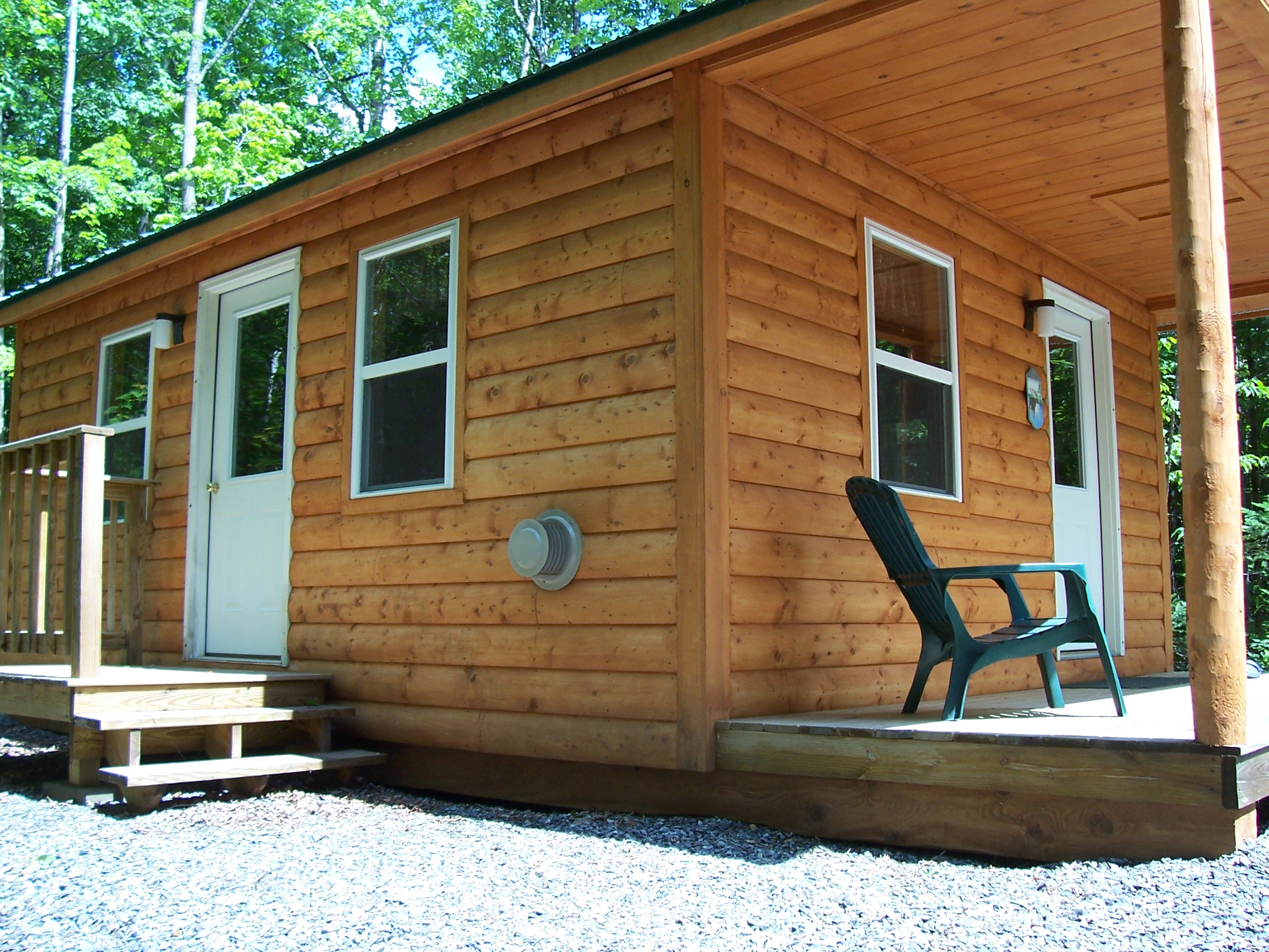
Left Side View Cabin #1
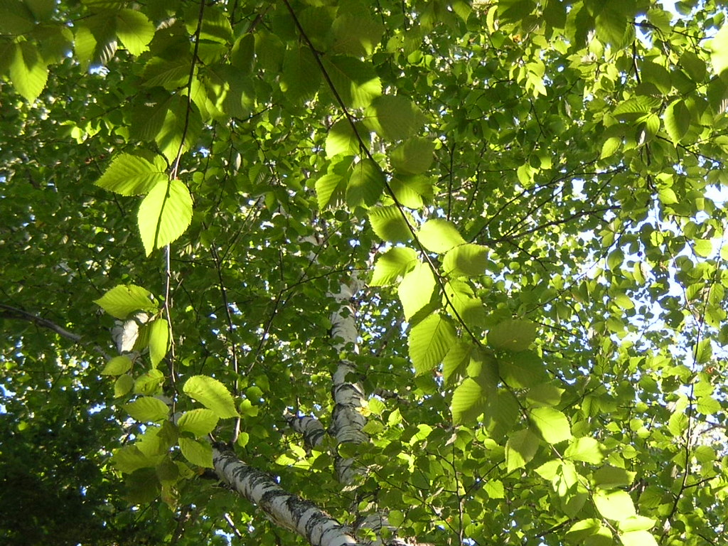
hammock view of a birch on Birch Island
View from the Front Door Cabin #1

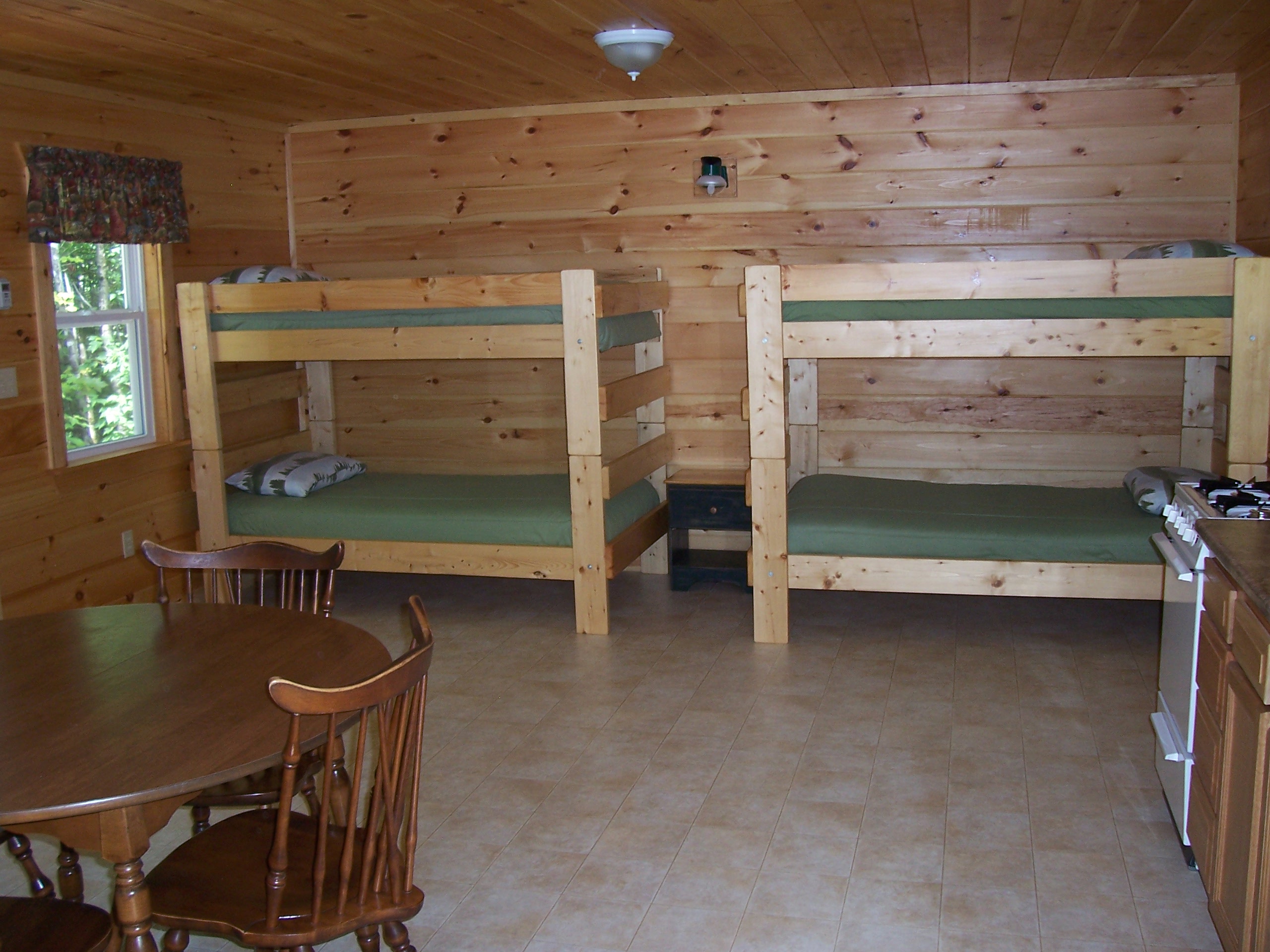
Another View of Kitchen Cabin #3

beginner's mind: nasturtiums

Dead Rabbits 1

Corson Stream 6
nice light at the edge of the woods
20141012_074406_8098_1DX-Edit-2
Topographic Map of 8 Water St, Harmony, ME, USA
Find elevation by address:

Places near 8 Water St, Harmony, ME, USA:
Harmony
Dore Hill Road
Hartland
Hartland Rd, Athens, ME, USA
Stickney Hill Road
Stickney Hill Road
Stickney Hill Road
Stickney Hill Road
Stickney Hill Road
Stickney Hill Road
Stickney Hill Road
Stickney Hill Road
Fox Hill Road
104 Bryant Rd
75 Pleasant St
1 Bryant Rd
25 Me-151
St Albans, ME, USA
Athens
Saint Albans
Recent Searches:
- Elevation of Corso Fratelli Cairoli, 35, Macerata MC, Italy
- Elevation of Tallevast Rd, Sarasota, FL, USA
- Elevation of 4th St E, Sonoma, CA, USA
- Elevation of Black Hollow Rd, Pennsdale, PA, USA
- Elevation of Oakland Ave, Williamsport, PA, USA
- Elevation of Pedrógão Grande, Portugal
- Elevation of Klee Dr, Martinsburg, WV, USA
- Elevation of Via Roma, Pieranica CR, Italy
- Elevation of Tavkvetili Mountain, Georgia
- Elevation of Hartfords Bluff Cir, Mt Pleasant, SC, USA