Elevation map of Palerang Council, Palerang, NSW, Australia
Location: Australia > New South Wales >
Longitude: 149.656449
Latitude: -35.415456
Elevation: 711m / 2333feet
Barometric Pressure: 93KPa
Elevation Map:
Satellite Map:
Related Photos:
Water Wheel

360 view of old steam engine at Lowden Forest Park

360 view of the old waterwheel at Lowden Forest Park
360 view of waterwheel at Lowden Forest Park

360 view of Fern Gully Trail at Lowden Forest Park

360 view of the lower part of Lowden Trig Firetrail
shops in Braidwood, NSW, Australia

360 view of granite boulders along Lowden Trig Firetrail
Wallace Street, Braidwood, NSW, Australia

360 view of granite boulders along Lowden Trig Firetrail

360 view of the communications tower at the top of Lowden Trig

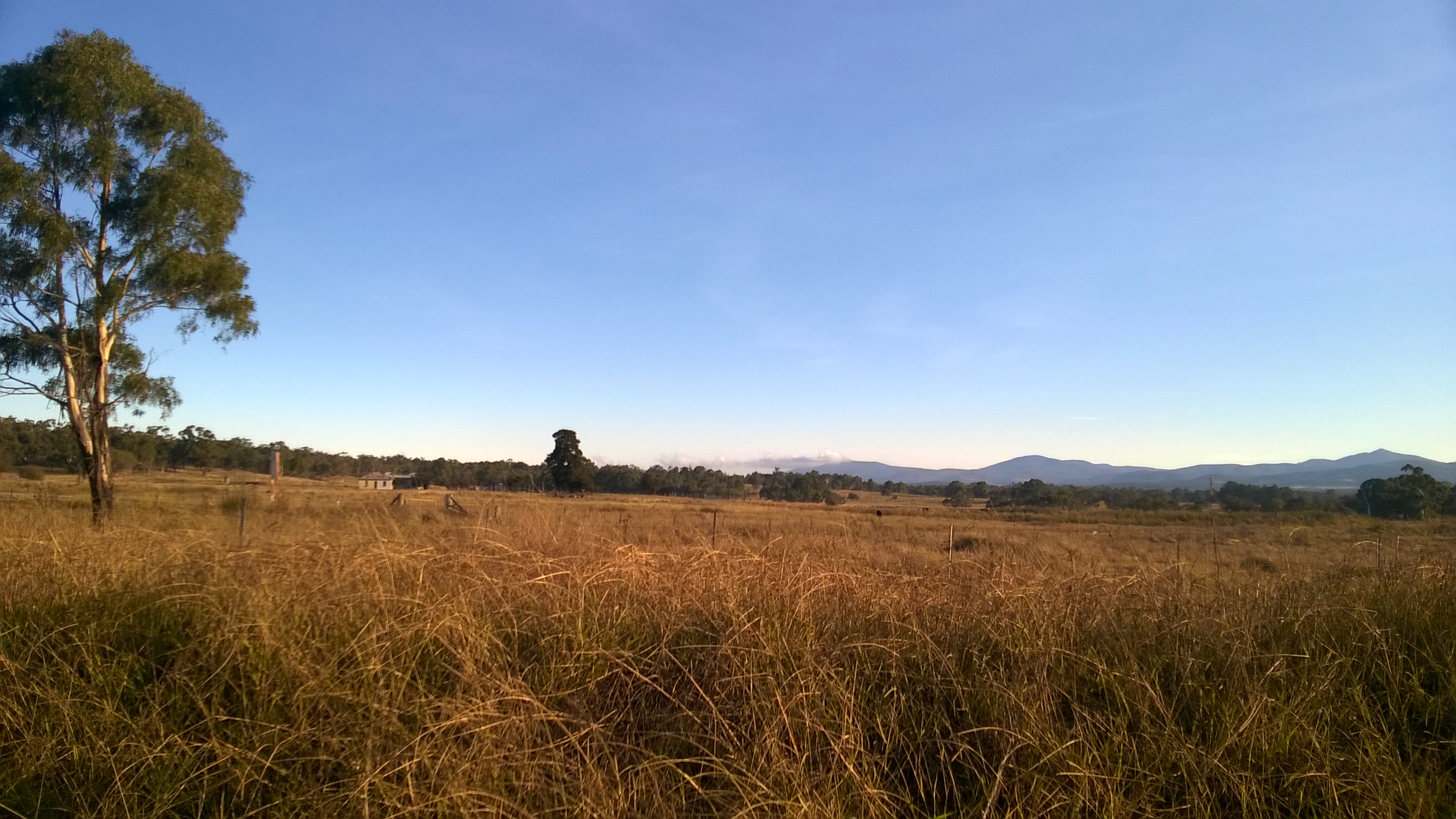
Views along the way from Sydney to Braidwood

Views along the way from Sydney to Braidwood
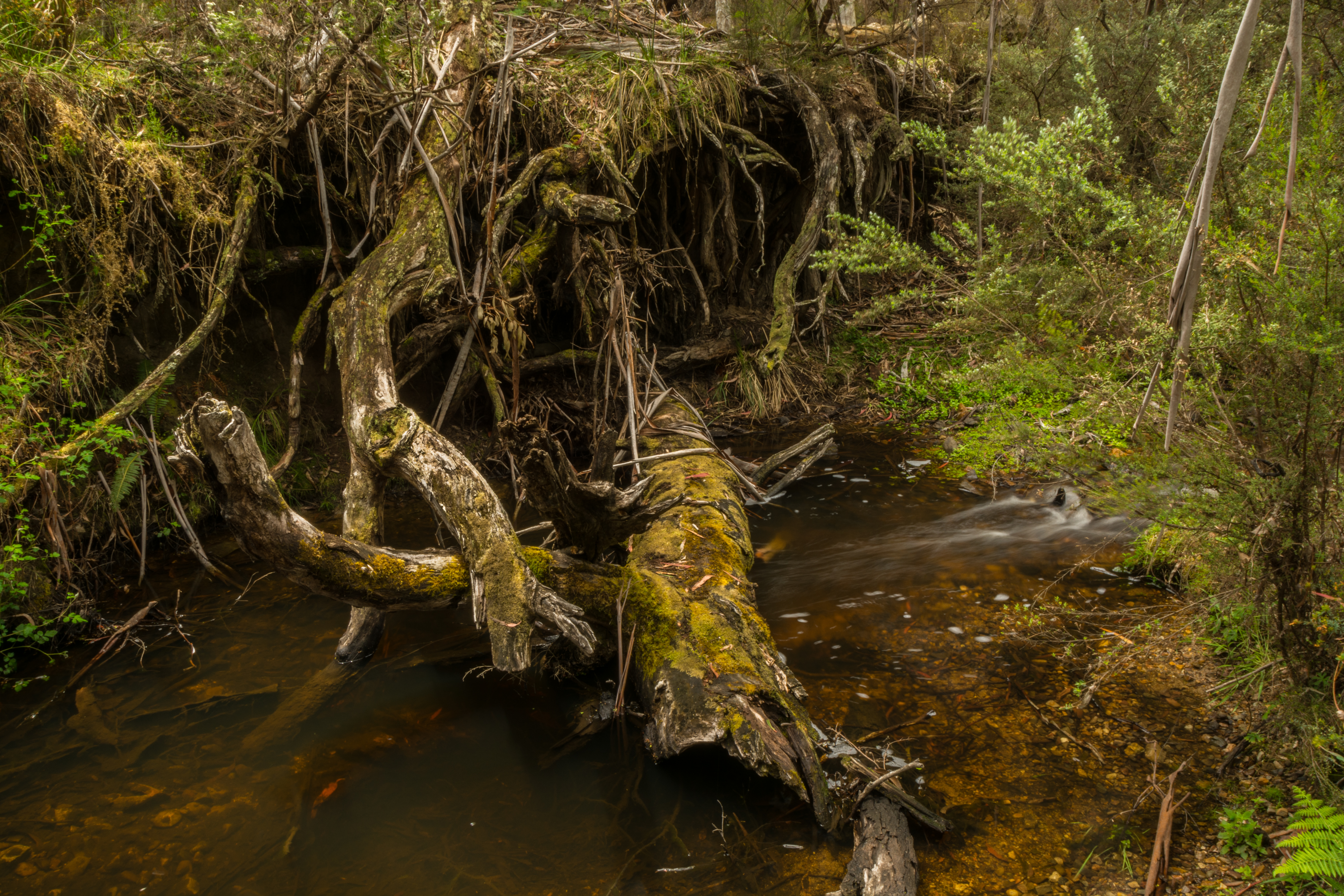
Mulloon Creek

Mulloon Creek

Mulloon Creek
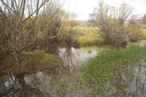
Jembaicumbene Creek, NSW, Australia

2010ColinBrown-3977.jpg

Jembaicumbene Creek, NSW, Australia
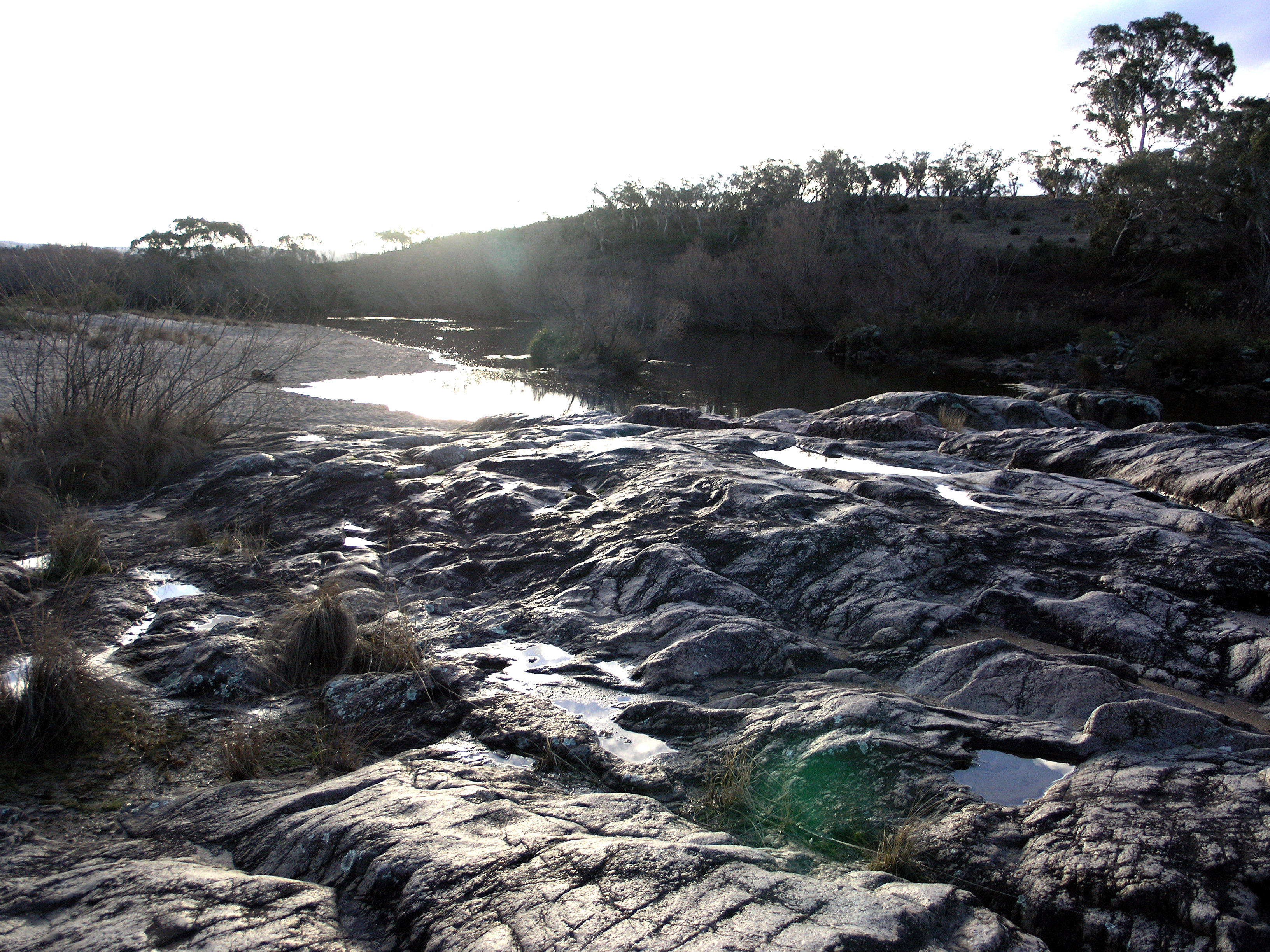
Shoalhaven River

Shoalhaven River

Shoalhaven River

backyard saleyards 230115 1

horse backyard 140314 3

#rusted #nail #nailart #rock #wall #spot #thenail

My kind of landscape

Sunrise through Trees in Braidwood
Richtung Canberra

Sunrise Braidwood

Mill Pond Farm, Major's Creek, NSW, Australia
Topographic Map of Palerang Council, Palerang, NSW, Australia
Find elevation by address:

Places in Palerang Council, Palerang, NSW, Australia:
Places near Palerang Council, Palerang, NSW, Australia:
Queanbeyan–palerang Regional Council
Braidwood
49 Harolds Cross Rd
Bungendore
Monga
Budawang
Carwoola
Shoalhaven River
Currockbilly Mountain
192 Western Distributor Rd
Queanbeyan
Currowan
Queanbeyan City Council
Googong
Majura
Canberra Airport
Iron Knob Street
Fyshwick
13 Gladstone St
Ainslie
Recent Searches:
- Elevation of Corso Fratelli Cairoli, 35, Macerata MC, Italy
- Elevation of Tallevast Rd, Sarasota, FL, USA
- Elevation of 4th St E, Sonoma, CA, USA
- Elevation of Black Hollow Rd, Pennsdale, PA, USA
- Elevation of Oakland Ave, Williamsport, PA, USA
- Elevation of Pedrógão Grande, Portugal
- Elevation of Klee Dr, Martinsburg, WV, USA
- Elevation of Via Roma, Pieranica CR, Italy
- Elevation of Tavkvetili Mountain, Georgia
- Elevation of Hartfords Bluff Cir, Mt Pleasant, SC, USA