Elevation map of Queanbeyan–Palerang Regional Council, NSW, Australia

Location: Australia > New South Wales >

Longitude: 149.656449

Latitude: -35.415456

Elevation: 711m / 2333feet

Barometric Pressure: 93KPa

Elevation Map:

elevation map of Queanbeyan–Palerang Regional Council, NSW, Australia

Satellite Map:

Satellite map of Queanbeyan–Palerang Regional Council, NSW, Australia

Related Photos:

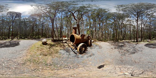
360 view of old steam engine at Lowden Forest Park
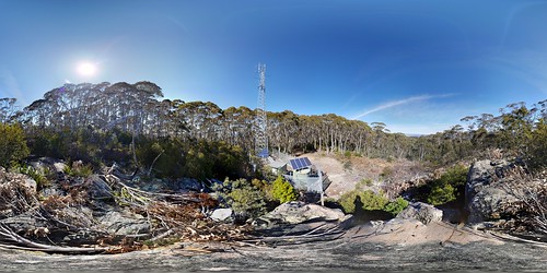
360 view of the communications tower at the top of Lowden Trig
camera copyright water rain forest lens outdoors bush nikon day cloudy australia location nsw newsouthwales geography waterwheel conditions greatdividingrange strobist d700 sb900 nikond700 markmcintosh pcenikkor24mmf35ded tallagandastateforest lowdenforestpark macr237gmailcom ©markmcintosh
Water Wheel
red office post box australia letter braidwood
Braidwood Post Office
town country cottage nsw braidwood
Down past the old green cottage
360 view of the old waterwheel at Lowden Forest Park
360 view of waterwheel at Lowden Forest Park
360 view of Fern Gully Trail at Lowden Forest Park
360 view of the lower part of Lowden Trig Firetrail
local history
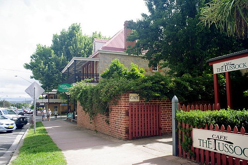
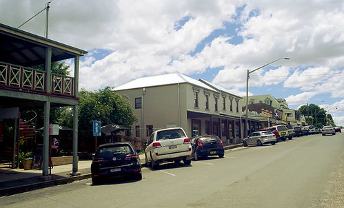
shops in Braidwood, NSW, Australia
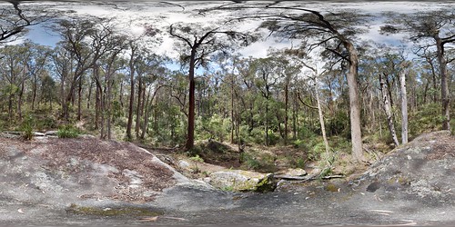
360 view of granite boulders along Lowden Trig Firetrail
local history
Wallace Street, Braidwood, NSW, Australia
360 view of granite boulders along Lowden Trig Firetrail
landscape australia
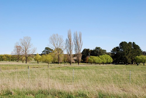
Views along the way from Sydney to Braidwood
landscape australia
Views along the way from Sydney to Braidwood
local history
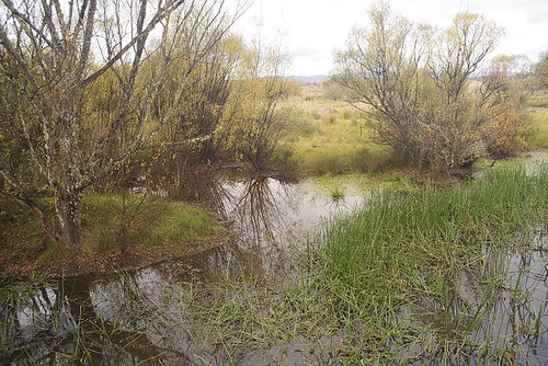
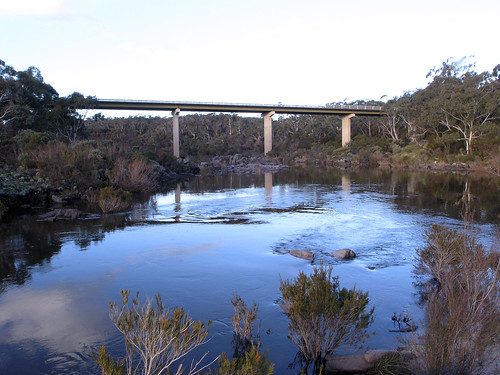
Jembaicumbene Creek, NSW, Australia
local history
Jembaicumbene Creek, NSW, Australia
Granite boulders along Lowden Trig Firetrail
brown colin australia nsw abcopen:entry=upclose abcopen:project=upclose yandyguinulacreeknswwinter
2010ColinBrown-3977.jpg
aus australia geo:lat=3543754598 geo:lon=14957007319 geotagged mullooncreekcampground newsouthwales tallagandanationalpark
Mulloon Creek
canberra kingshighway capitalregion warri shoalhavenriver
Shoalhaven River
aus australia geo:lat=3543754598 geo:lon=14957007319 geotagged mullooncreekcampground newsouthwales tallagandanationalpark
Mulloon Creek
aus australia geo:lat=3543754598 geo:lon=14957007319 geotagged mullooncreekcampground newsouthwales tallagandanationalpark
Mulloon Creek
canberra kingshighway capitalregion warri shoalhavenriver
Shoalhaven River
canberra kingshighway capitalregion warri shoalhavenriver
Shoalhaven River
square squareformat hefe iphoneography instagramapp uploaded:by=instagram
#rusted #nail #nailart #rock #wall #spot #thenail
local history
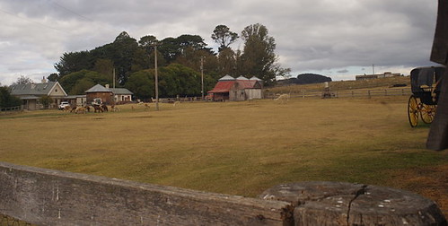
Mill Pond Farm, Major's Creek, NSW, Australia
sky clouds canon fence geotagged wire rocks post boulders dslr barbed polariser 400d canonef2485mmf3545usm geo:lat=35486568 geo:lon=149796159
My kind of landscape
summer holiday sunrise 2009 braidwood landscapephotography nikond300 1685mmf3556
Sunrise through Trees in Braidwood
Richtung Canberra
local history funerary
cemetery at Braidwood, NSW, Australia