Elevation of Braidwood NSW, Australia
Location: Australia > New South Wales > Palerang Council >
Longitude: 149.802858
Latitude: -35.434826
Elevation: 668m / 2192feet
Barometric Pressure: 94KPa
Elevation Map:
Satellite Map:
Related Photos:
Telephlebia godeffroyi male wings
Braidwood Post Office
Down past the old green cottage
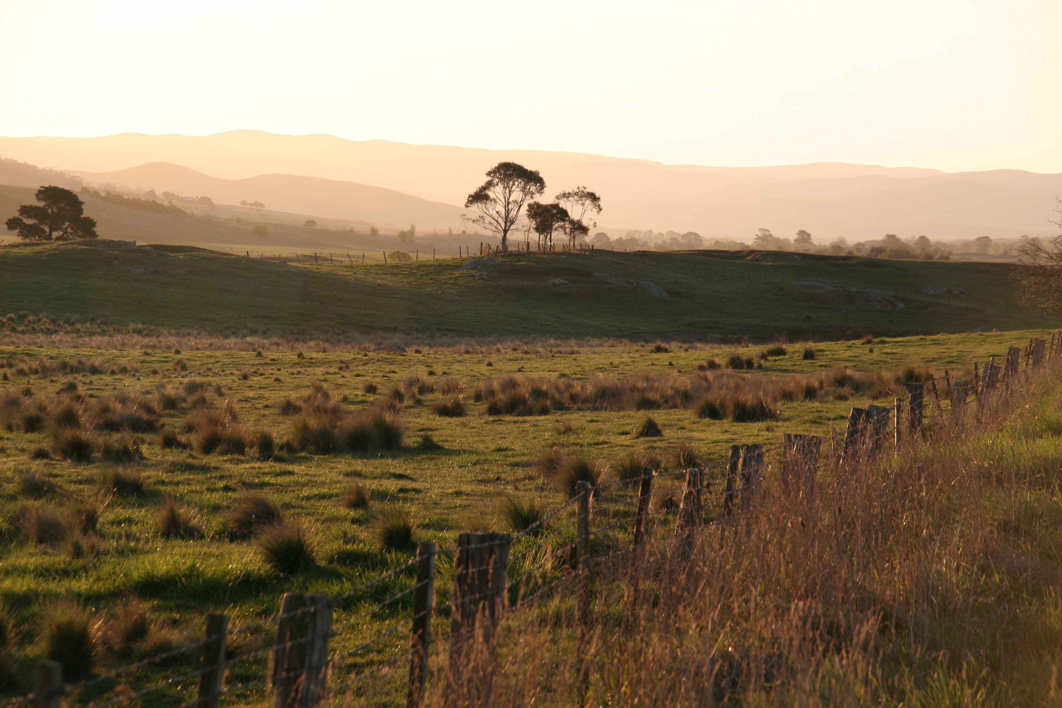
Views along the way from Sydney to Braidwood
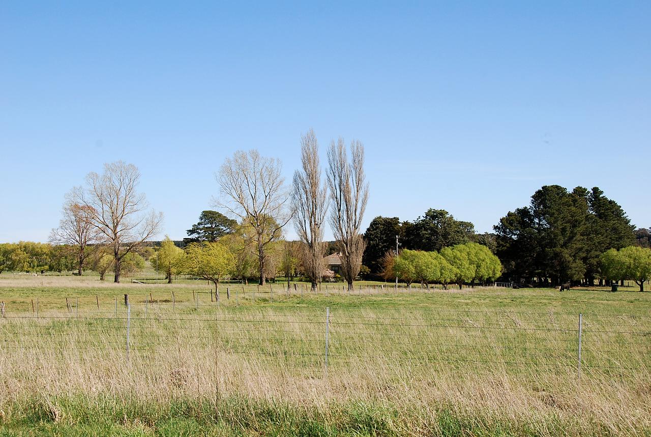
Views along the way from Sydney to Braidwood

Wallace Street, Braidwood, NSW, Australia
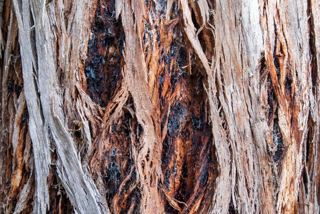
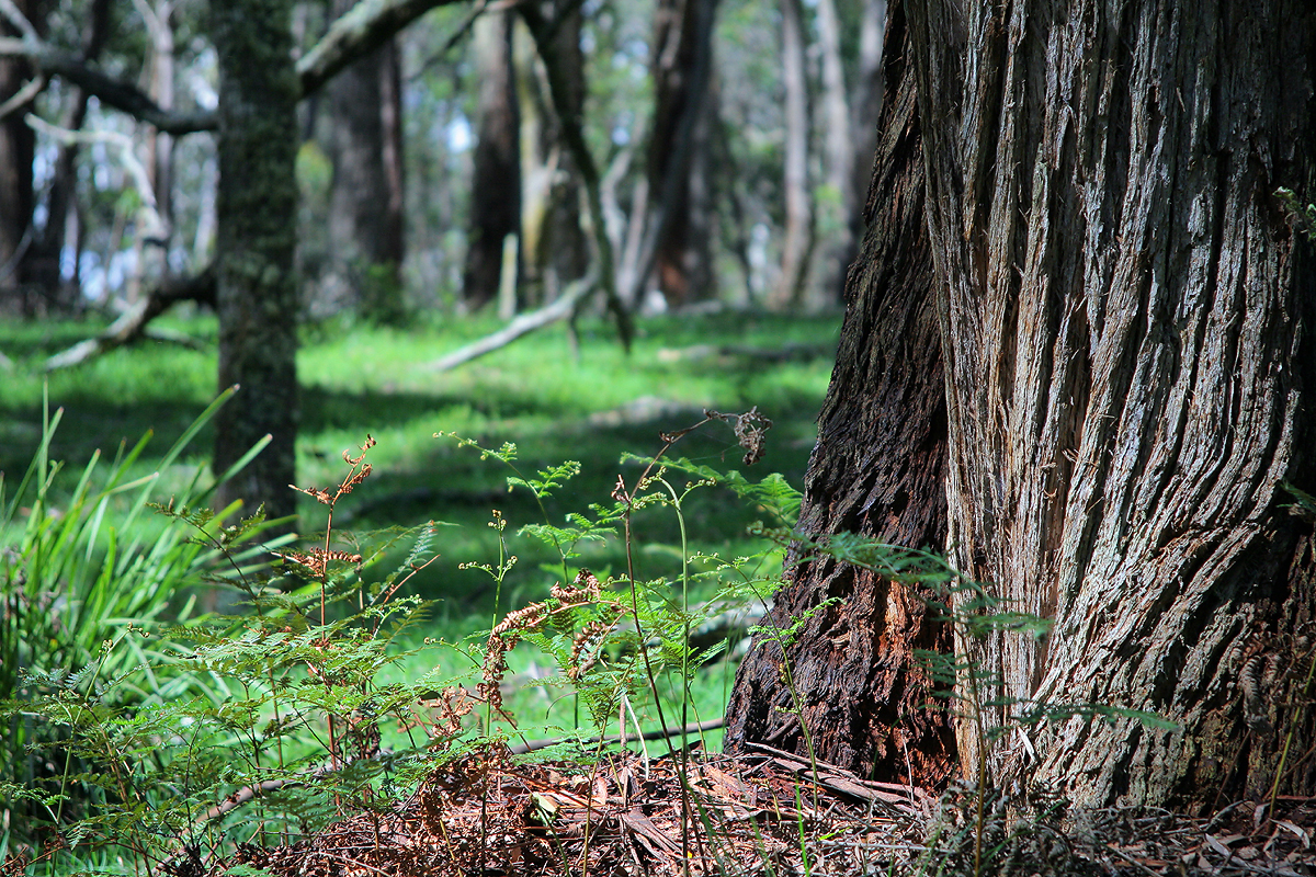
Detail of bark
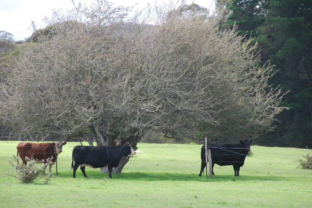
Hector's cattle @ Majors Creek
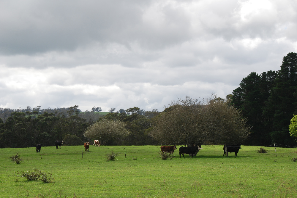
Hector's cattle @ Majors Creek
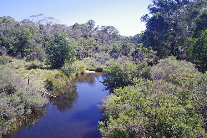
Mongarlowe River, NSW, Australia

horse backyard 140314 8
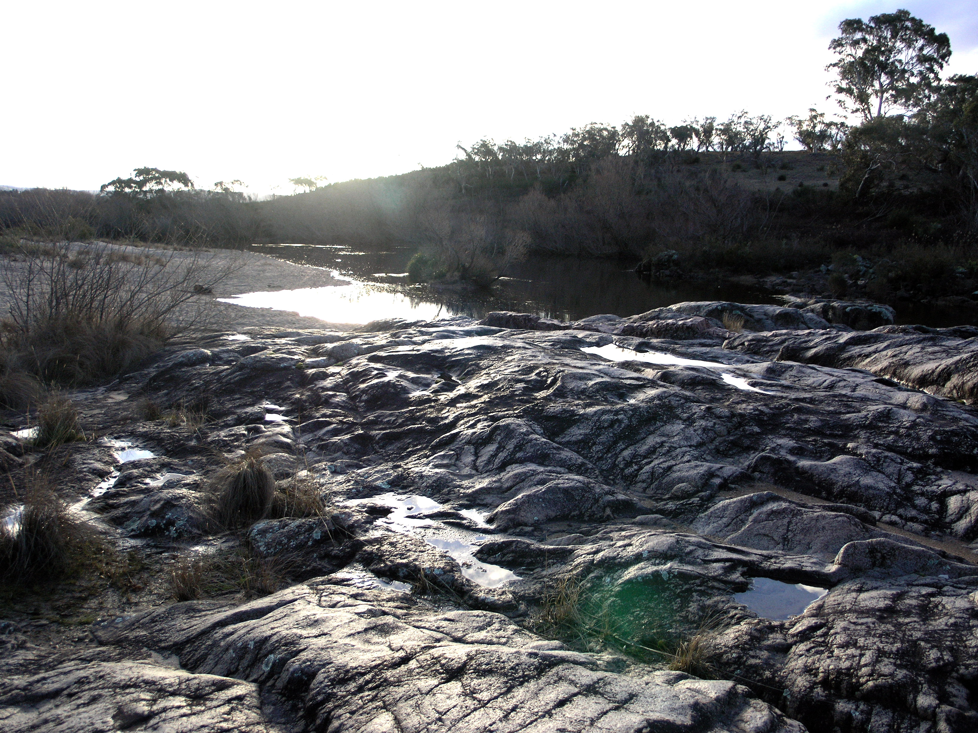
Shoalhaven River

Tudor Valley Road

horse backyard 140314 5
Tudor Valley Road
braidwood-2008a.jpg
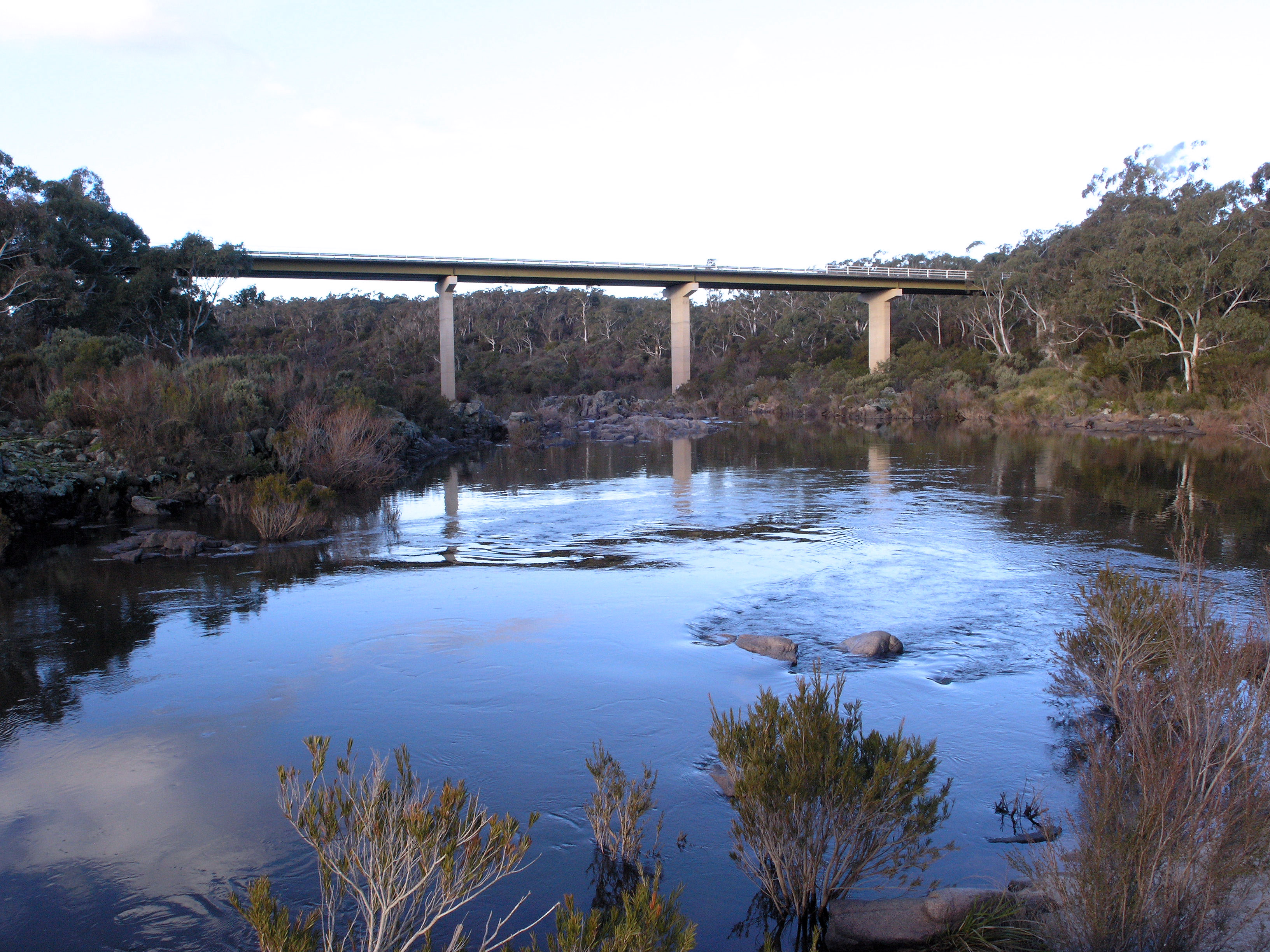
Shoalhaven River
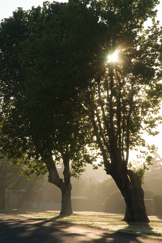
Sunrise through Trees in Braidwood

horse backyard 140314 3
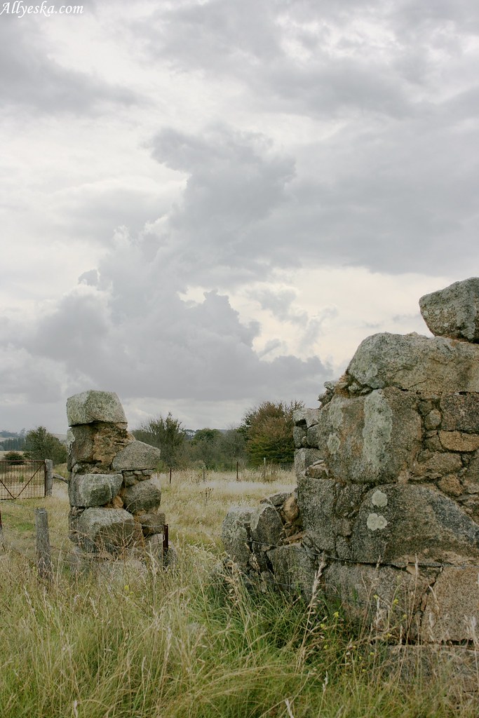
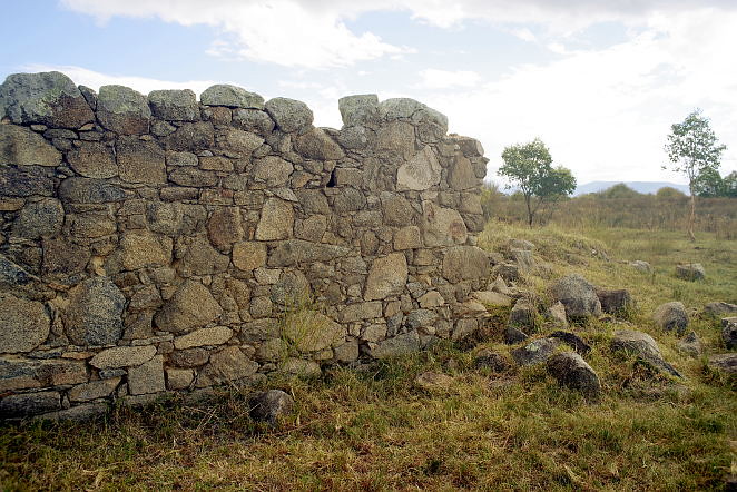
Braidwood stone ruin
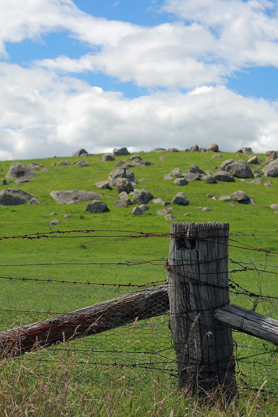
My kind of landscape
ruin near Jembaicumbene Creek, NSW, Australia
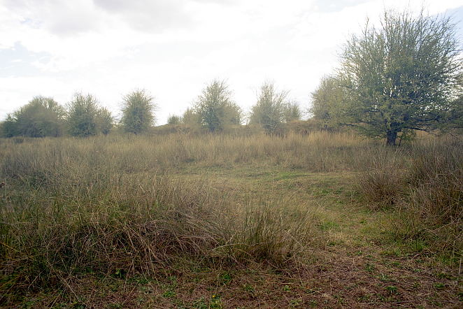
landscape near Jembaicumbene Creek, NSW, Australia
cemetery at Mongarlowe, NSW, Australia
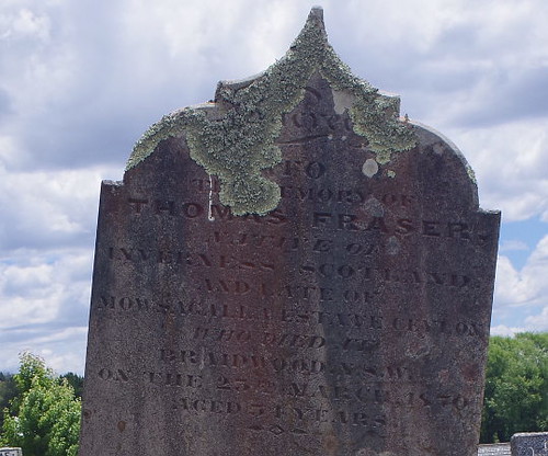
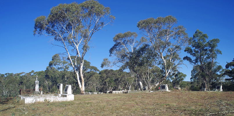
cemetery in Braidwood, NSW, Australia
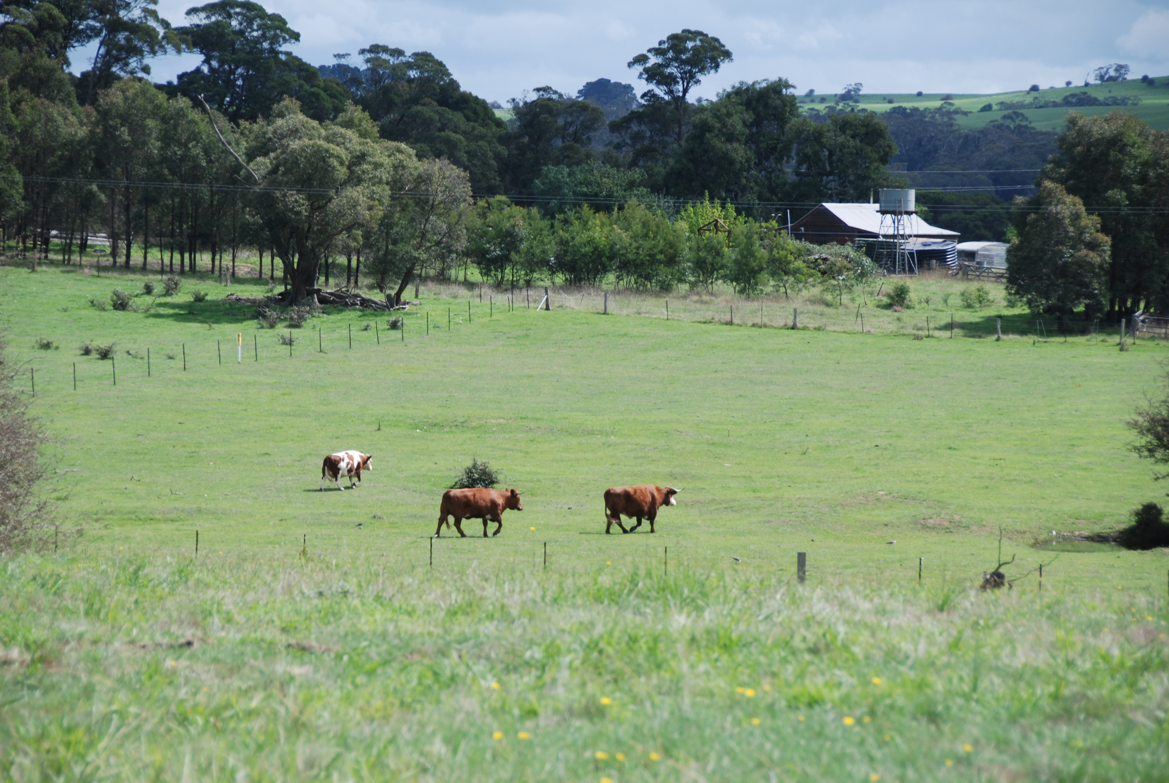
Hector's cattle @ Majors Creek
Topographic Map of Braidwood NSW, Australia
Find elevation by address:

Places near Braidwood NSW, Australia:
Palerang Council
Queanbeyan–palerang Regional Council
Monga
Budawang
Currockbilly Mountain
Shoalhaven River
192 Western Distributor Rd
Currowan
49 Harolds Cross Rd
Bungendore
Batemans Bay
34 High St
Carwoola
Eurobodalla Shire Council
Catalina
Surf Beach
2 Surf Beach Ave
10 Surf Beach Ave
17 Worthy Dr
Malua Bay
Recent Searches:
- Elevation of Corso Fratelli Cairoli, 35, Macerata MC, Italy
- Elevation of Tallevast Rd, Sarasota, FL, USA
- Elevation of 4th St E, Sonoma, CA, USA
- Elevation of Black Hollow Rd, Pennsdale, PA, USA
- Elevation of Oakland Ave, Williamsport, PA, USA
- Elevation of Pedrógão Grande, Portugal
- Elevation of Klee Dr, Martinsburg, WV, USA
- Elevation of Via Roma, Pieranica CR, Italy
- Elevation of Tavkvetili Mountain, Georgia
- Elevation of Hartfords Bluff Cir, Mt Pleasant, SC, USA