Elevation of Bungendore NSW, Australia
Location: Australia > New South Wales > Palerang Council >
Longitude: 149.45
Latitude: -35.25
Elevation: 693m / 2274feet
Barometric Pressure: 93KPa
Elevation Map:

Satellite Map:
Related Photos:
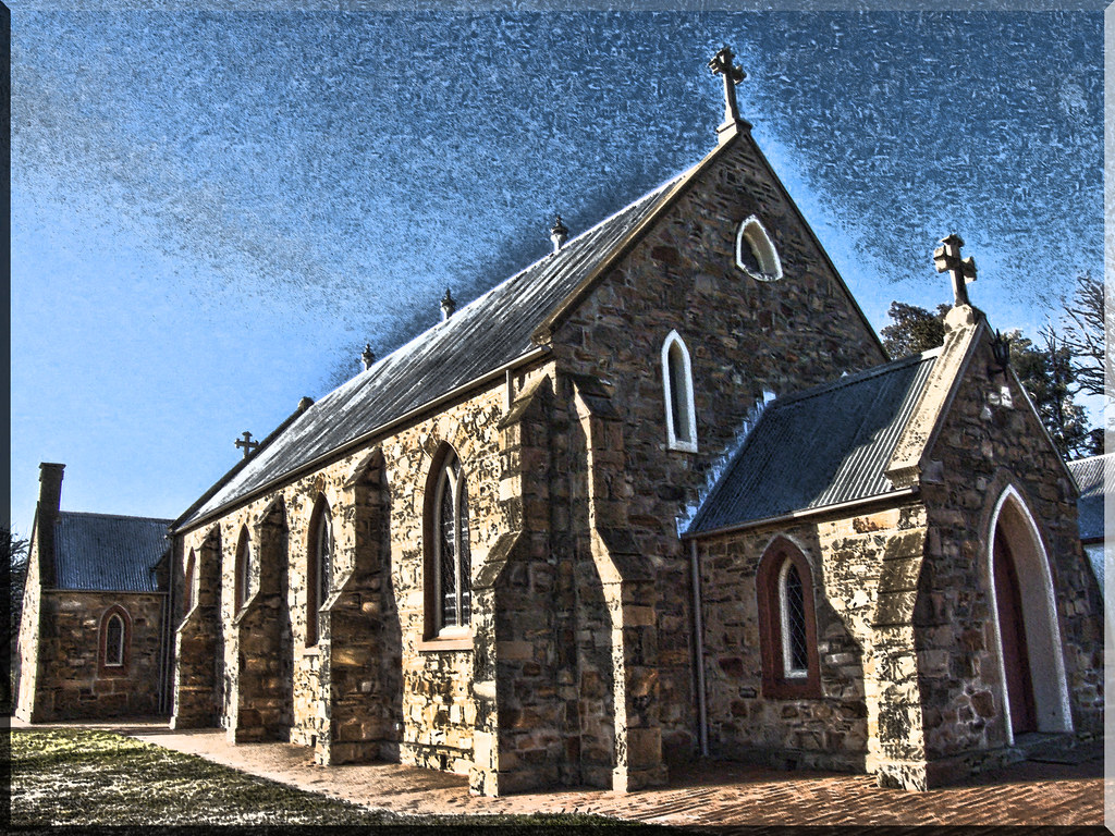
Go to pray
Palerang Homestead Protection
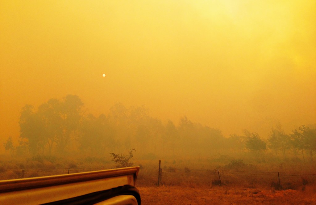
View from Sand Hills fire toward Braidwood
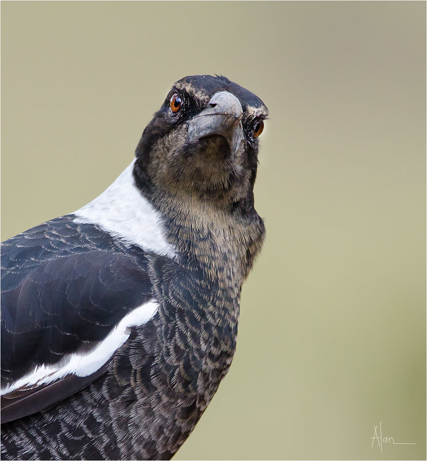
'You talkin' to me'?
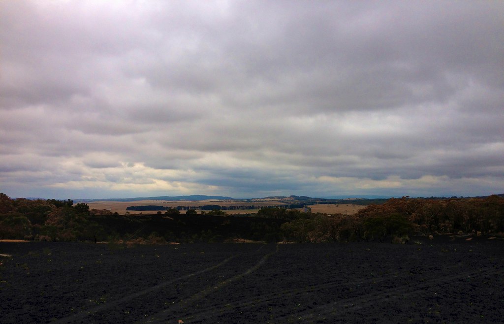
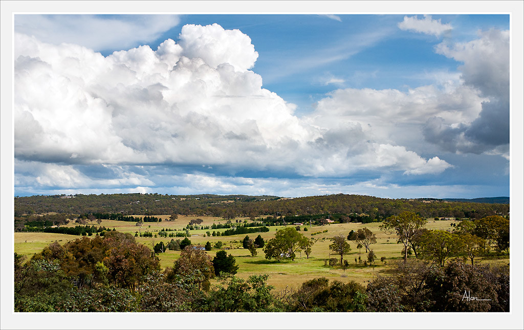
Country View

27 dogs with names
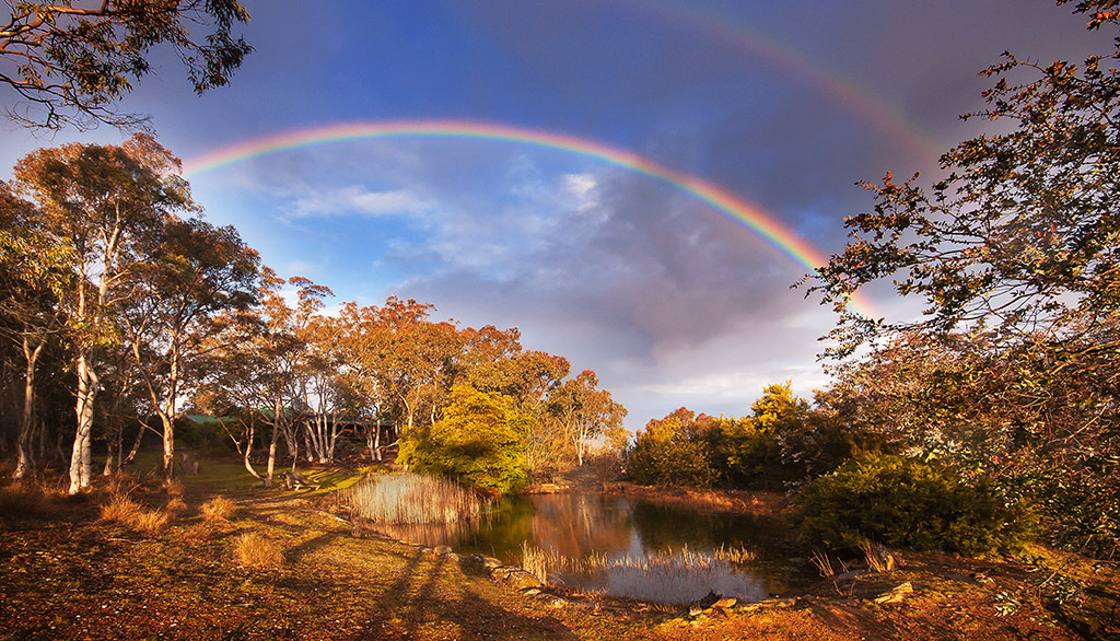
Caralan Rainbow
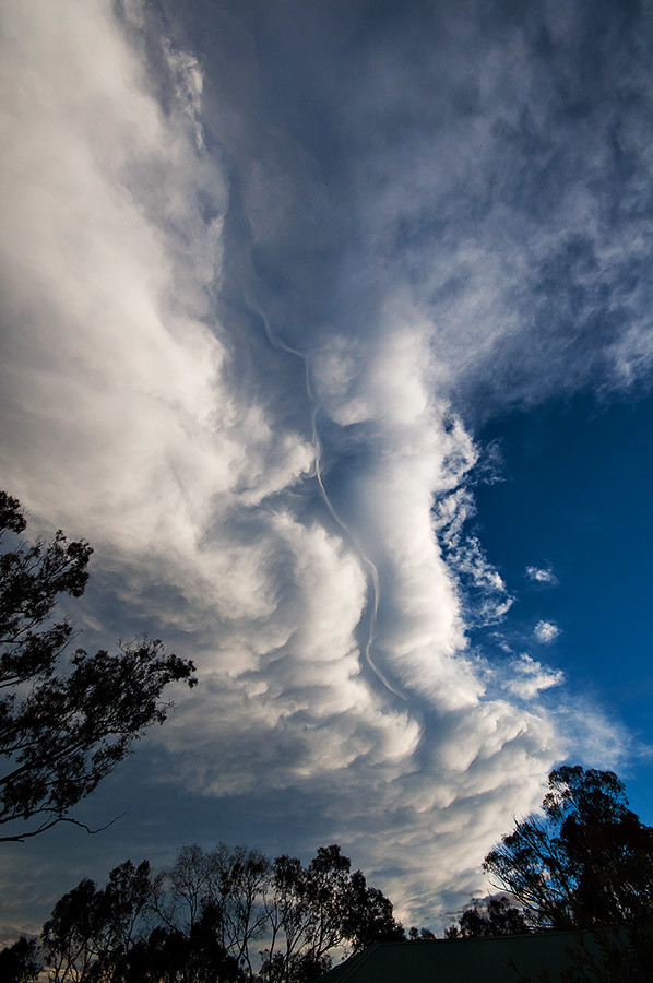
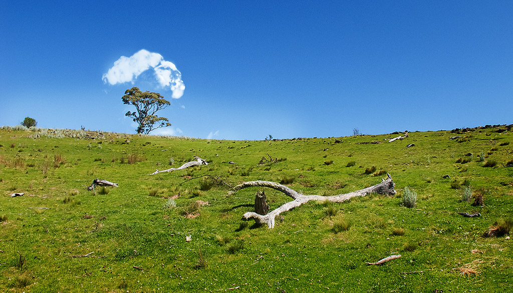
Cloud 1

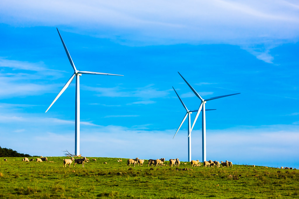
Sunset Over Wind Farm HDR
Veil of Greenness
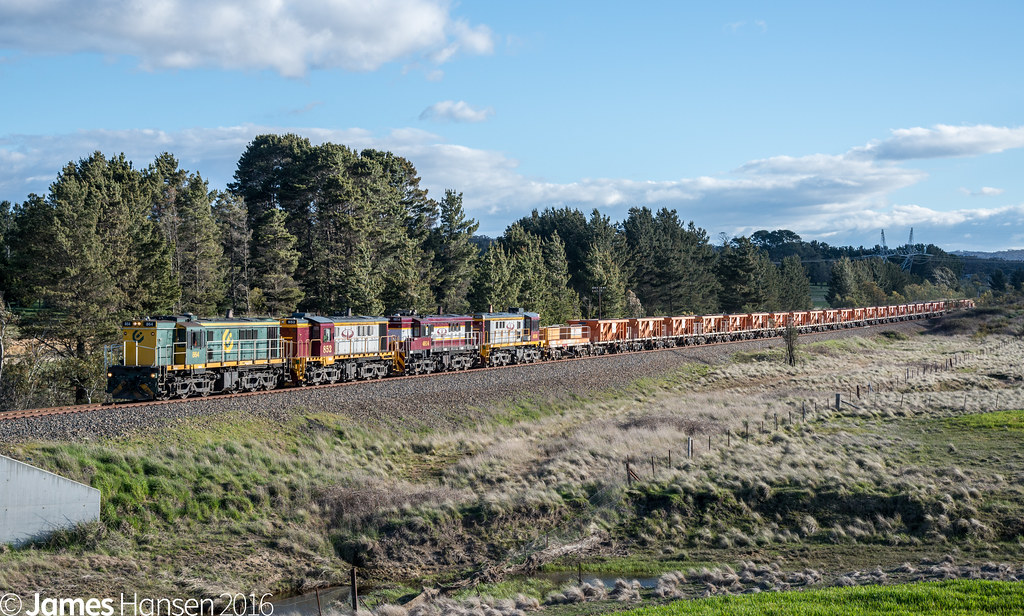
Burbong Goninan

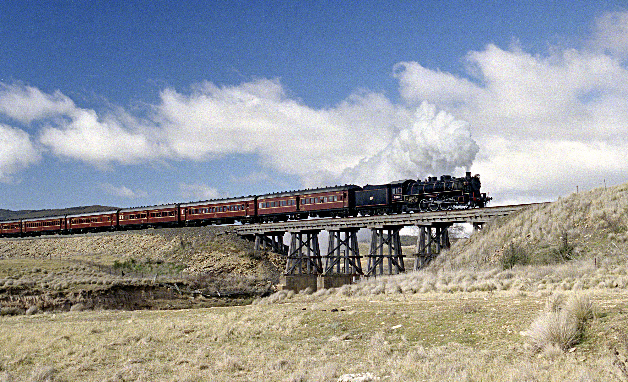
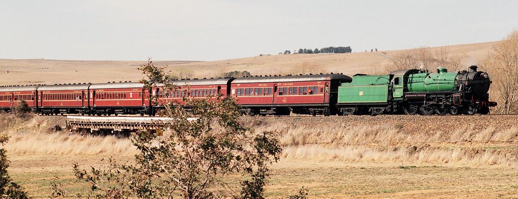
"The Last Train to Cooma". RTM's 5910 climbs towards Mt Fairy from Butmaroo, ARHS Tour, Cooma Branch, NSW, 28th May, 1989.
1995-07-29Bungendore-N14211

"The Last Train to Cooma". RTM's 5910 Climbs towards Mt Fairy from Butmaroo, ARHS Tour, Cooma Branch, NSW, 28th May, 1989.

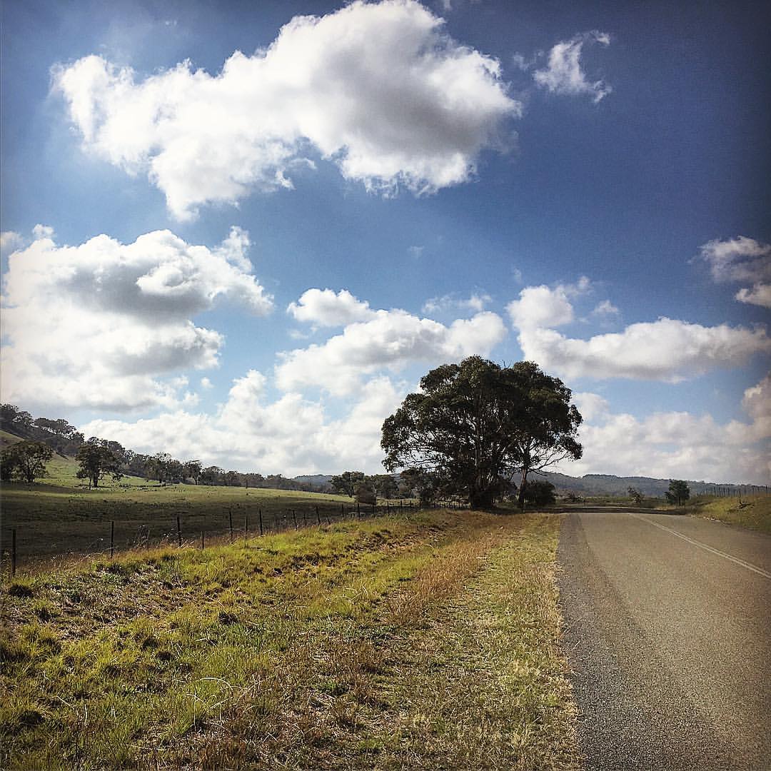
Rural Australia. From my back door.
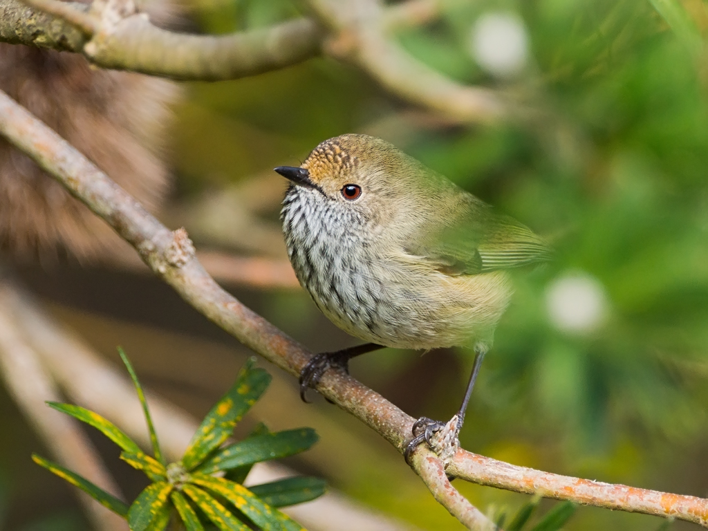
Brown Thornbill (Acanthiza pusilla)

Straited Thornbill - Acanthiza lineata
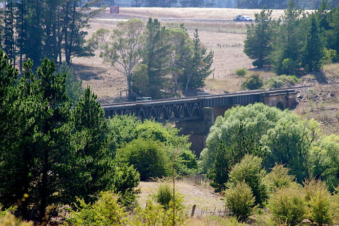
Burbong railway bridge, near Queanbeyan, NSW, Australia
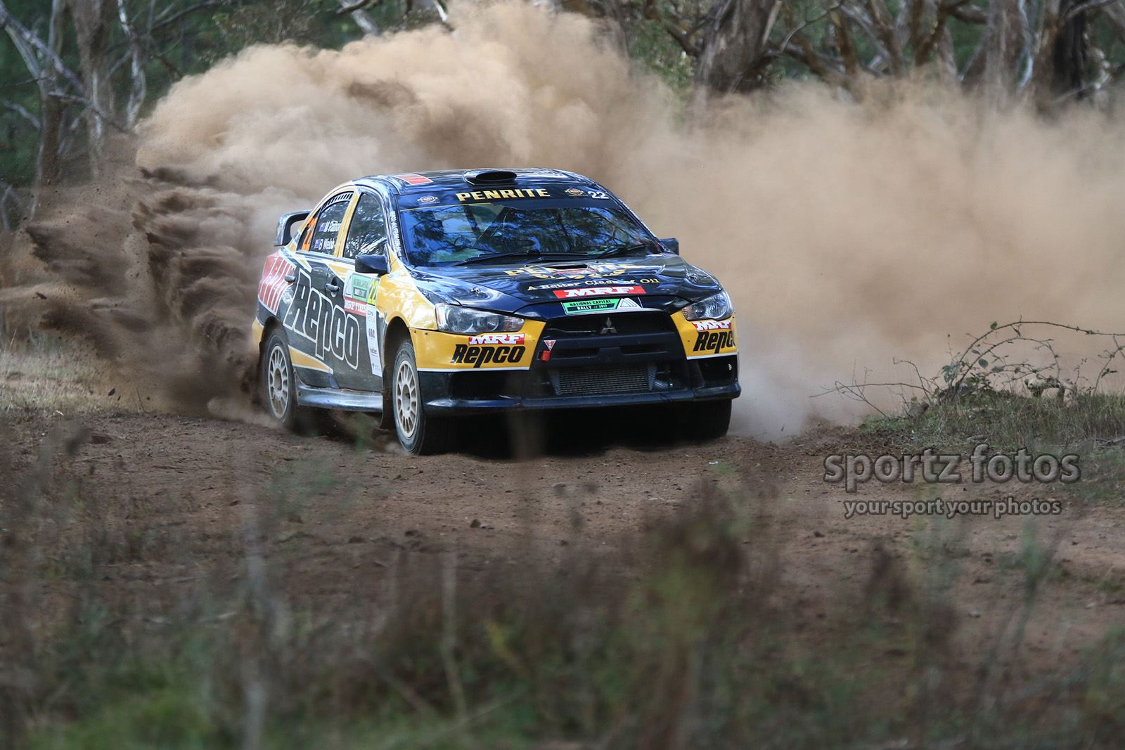
2017 National Captial Rally

Lake George pano March 2012 - 1200 pxls
Happy Easter
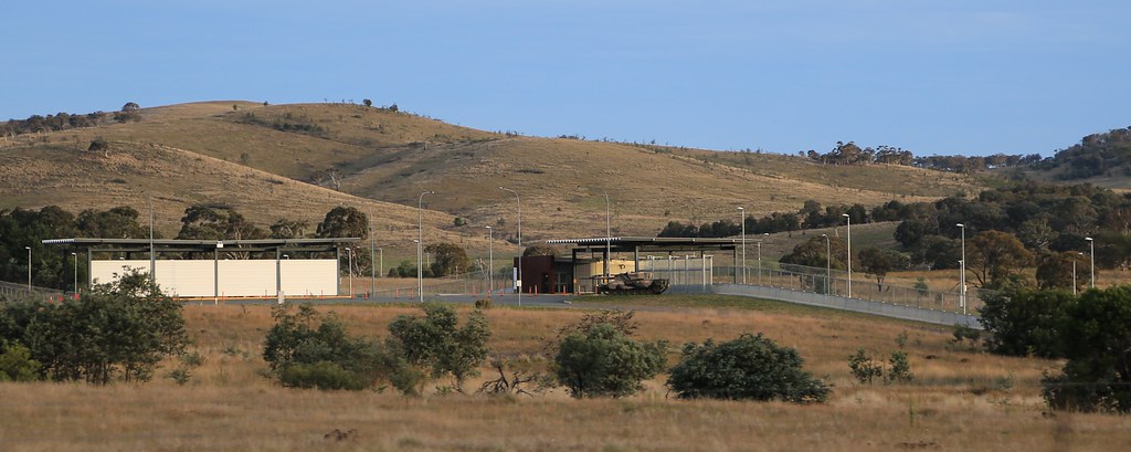
2013-03-30_1833-21-440 HQJOC at Farrer
HS23-14 1994-09-03 3642 at Bungendore
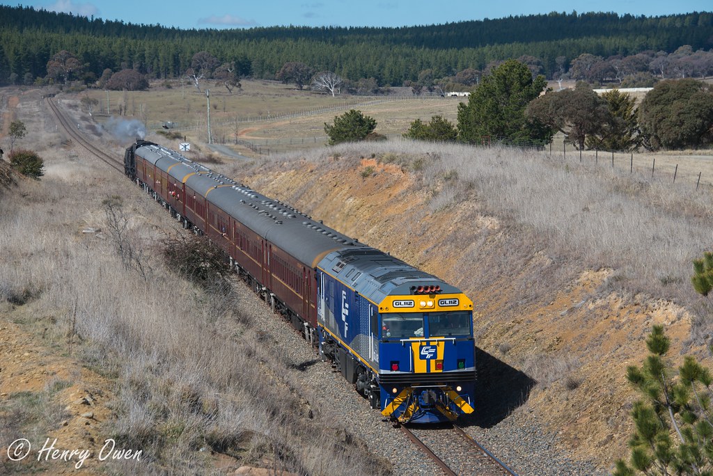
2M32 at Mount Fairy
M00_7566.jpg
Millpost Hill
Topographic Map of Bungendore NSW, Australia
Find elevation by address:

Places near Bungendore NSW, Australia:
Carwoola
Majura
Queanbeyan
Canberra Airport
Palerang Council
Queanbeyan–palerang Regional Council
Queanbeyan City Council
Iron Knob Street
13 Gladstone St
Fyshwick
Googong
Ainslie
41 Clare Burton Cres
Clare Burton Crescent
19/6 Tyson St
19/6 Tyson St
Franklin
Libraries Act - Civic
Canberra
Gungahlin Place
Recent Searches:
- Elevation of Corso Fratelli Cairoli, 35, Macerata MC, Italy
- Elevation of Tallevast Rd, Sarasota, FL, USA
- Elevation of 4th St E, Sonoma, CA, USA
- Elevation of Black Hollow Rd, Pennsdale, PA, USA
- Elevation of Oakland Ave, Williamsport, PA, USA
- Elevation of Pedrógão Grande, Portugal
- Elevation of Klee Dr, Martinsburg, WV, USA
- Elevation of Via Roma, Pieranica CR, Italy
- Elevation of Tavkvetili Mountain, Georgia
- Elevation of Hartfords Bluff Cir, Mt Pleasant, SC, USA