Elevation map of Eurobodalla Shire Council, Eurobodalla, NSW, Australia
Location: Australia > New South Wales >
Longitude: 149.933476
Latitude: -35.889472
Elevation: 118m / 387feet
Barometric Pressure: 100KPa
Elevation Map:
Satellite Map:
Related Photos:

Moruya Market View
Hilliker_4271 2
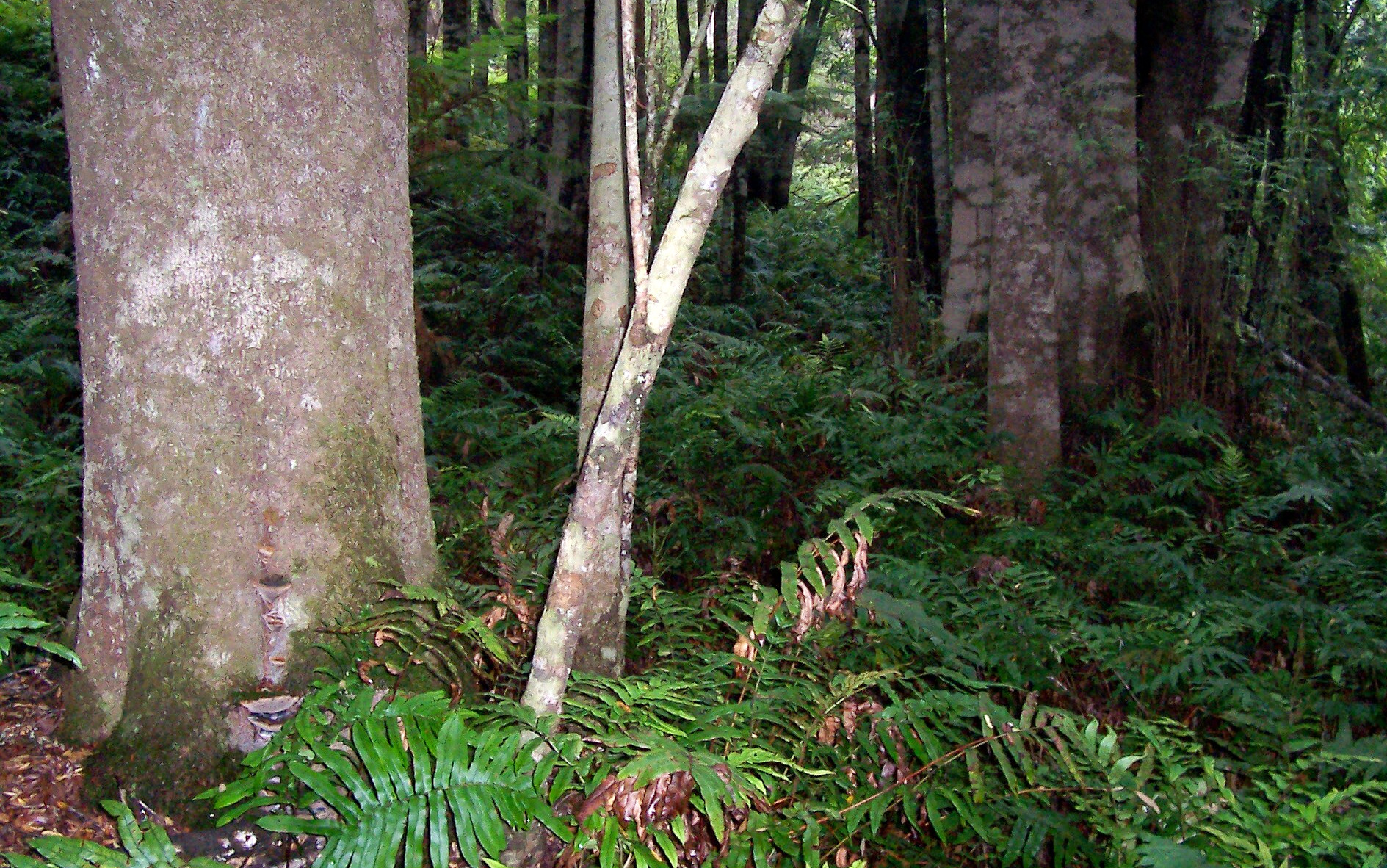
Pinkwood (Eucryphia moorei) & Hard Water Fern
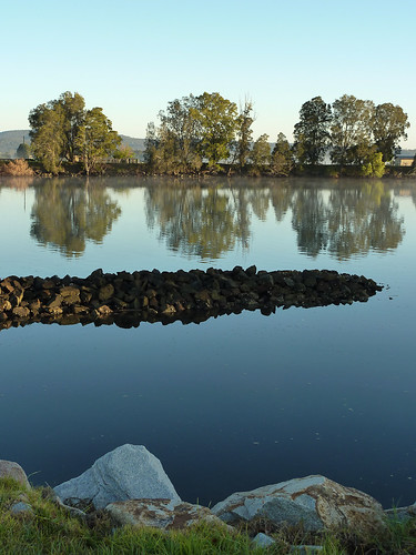
Moruya River 1
Moruya River

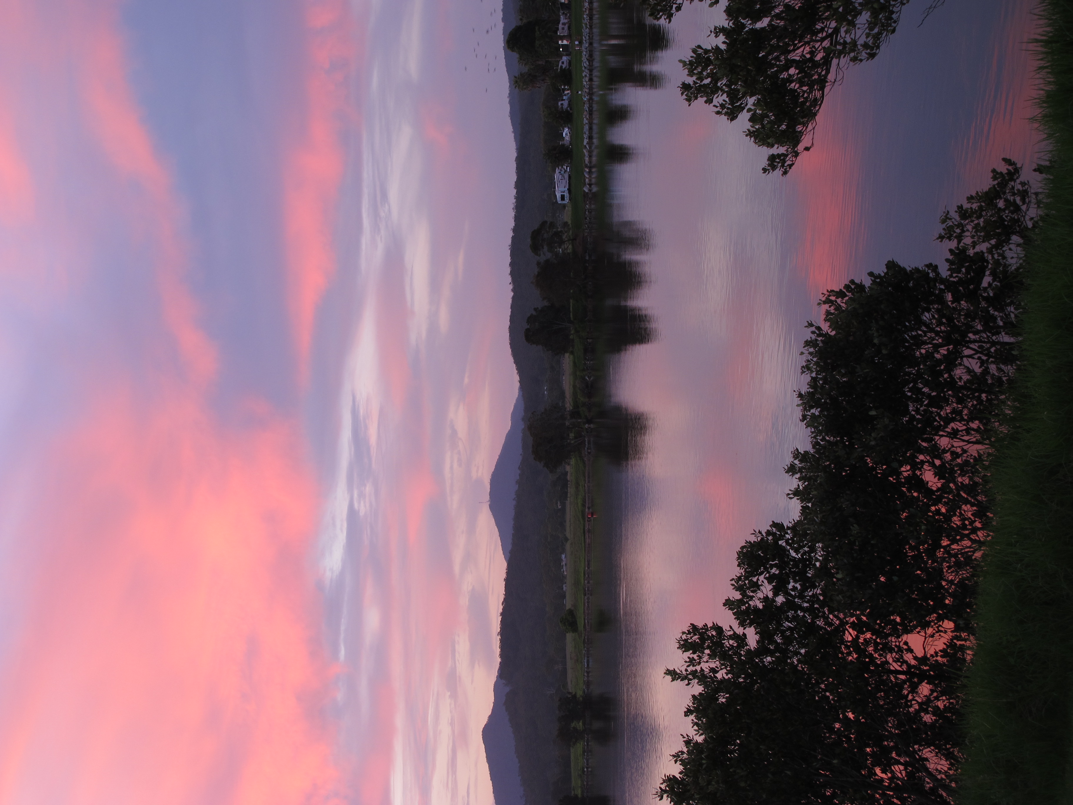
sunrise on Moruya River
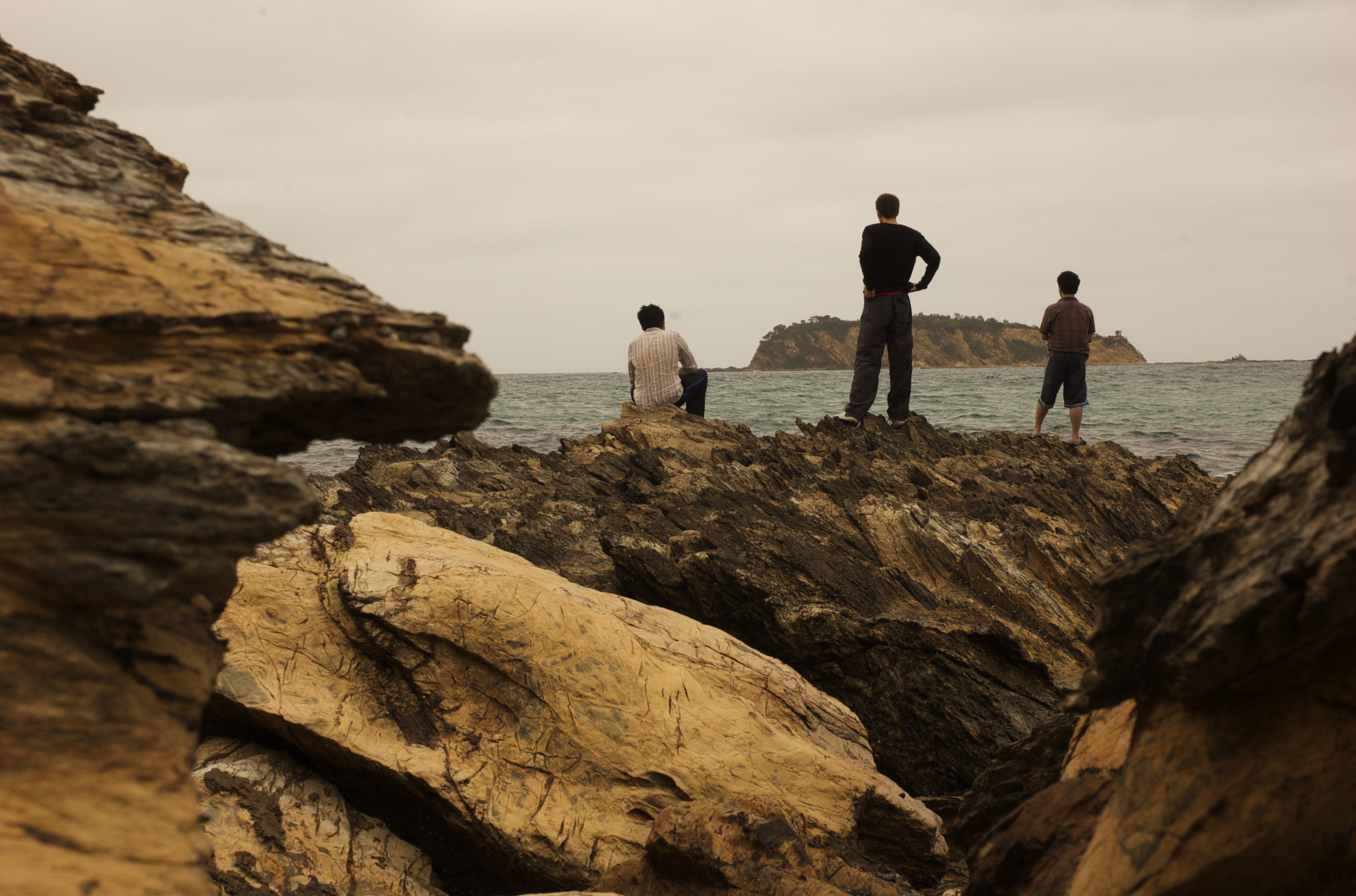
Sea Gazing
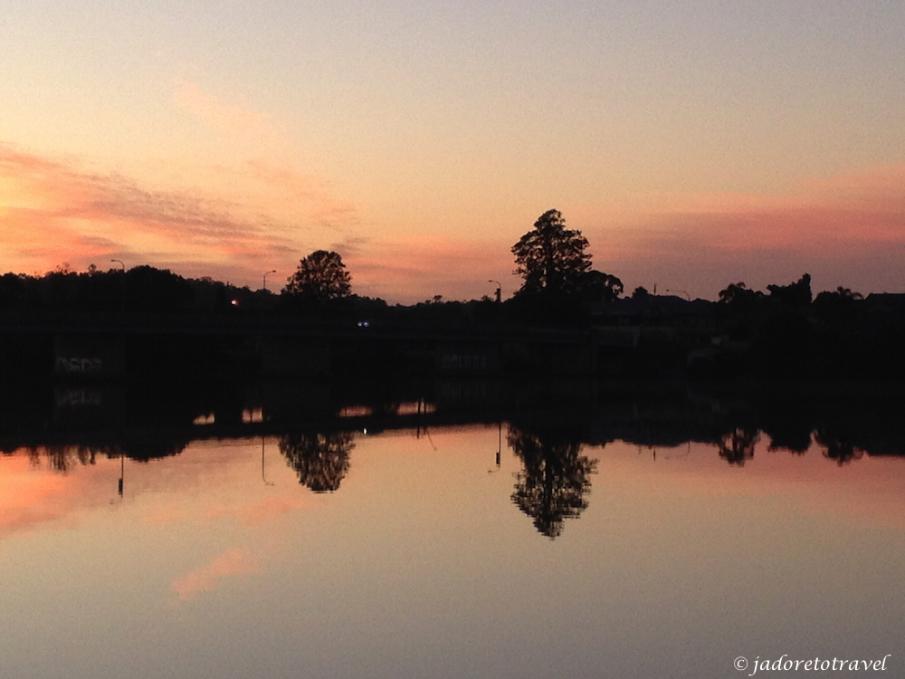
sunrise on Moruya River
Moruya River, Moruya
sunrise on Moruya River

#Pelican #Moruya #nofilter
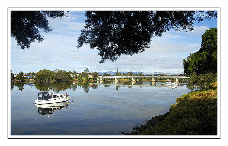
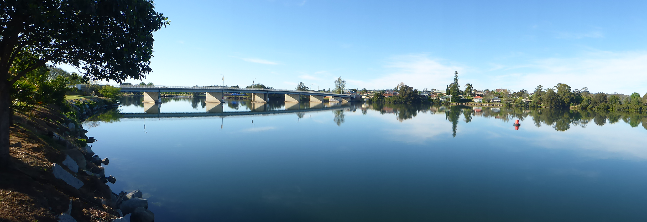
Moruya Bridge, NSW, Panorama
Deua River pano 2

Deua River pano 1

Recently Added-57
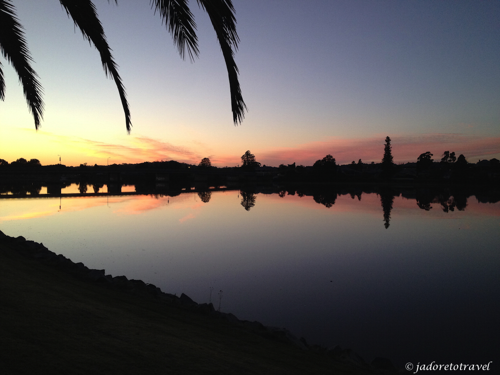
Down by the river #moruyariver #sunset

Recently Added-354
Topographic Map of Eurobodalla Shire Council, Eurobodalla, NSW, Australia
Find elevation by address:

Places in Eurobodalla Shire Council, Eurobodalla, NSW, Australia:
Places near Eurobodalla Shire Council, Eurobodalla, NSW, Australia:
17 Worthy Dr
Rosedale
2 Surf Beach Ave
22 Rosedale Parade
Malua Bay
Surf Beach
Catalina
Batemans Bay
34 High St
10 Surf Beach Ave
192 Western Distributor Rd
Dalmeny
Currowan
9 Eucalyptus Dr
Monga
4/3 Bay St
Narooma
Punkalla Tilba Road
Gulaga National Park
Corunna
Recent Searches:
- Elevation of Corso Fratelli Cairoli, 35, Macerata MC, Italy
- Elevation of Tallevast Rd, Sarasota, FL, USA
- Elevation of 4th St E, Sonoma, CA, USA
- Elevation of Black Hollow Rd, Pennsdale, PA, USA
- Elevation of Oakland Ave, Williamsport, PA, USA
- Elevation of Pedrógão Grande, Portugal
- Elevation of Klee Dr, Martinsburg, WV, USA
- Elevation of Via Roma, Pieranica CR, Italy
- Elevation of Tavkvetili Mountain, Georgia
- Elevation of Hartfords Bluff Cir, Mt Pleasant, SC, USA