Elevation of Omar Mountain, Montana, USA
Location: United States > Montana > Powell County >
Longitude: -113.09838
Latitude: 47.2232743
Elevation: 2574m / 8445feet
Barometric Pressure: 74KPa
Elevation Map:
Satellite Map:
Related Photos:
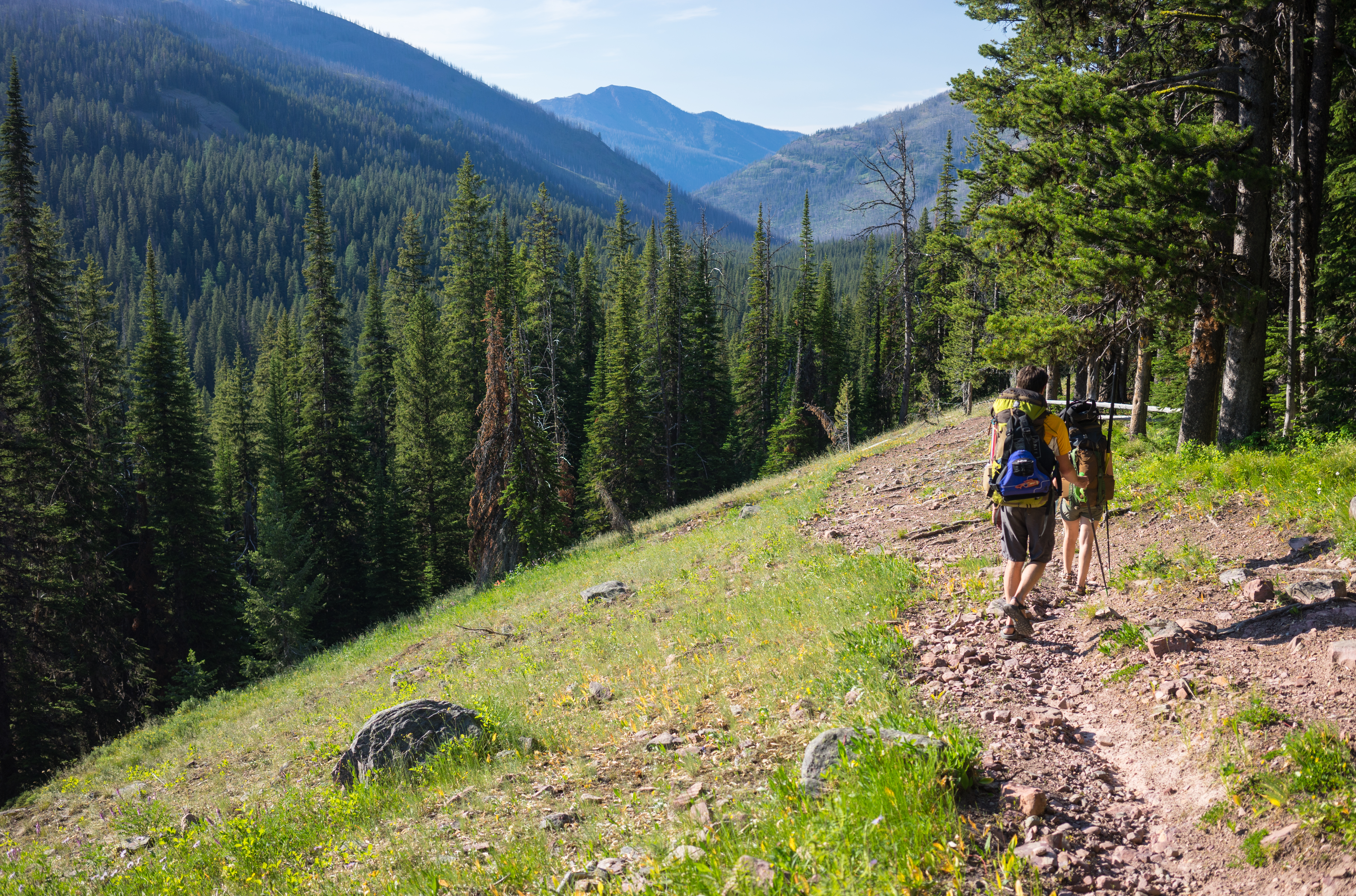
Jenny Creek Trail
Lodgepole Creek Trail
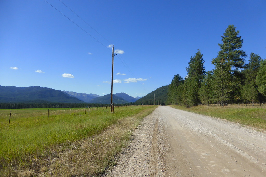
CD-Trail
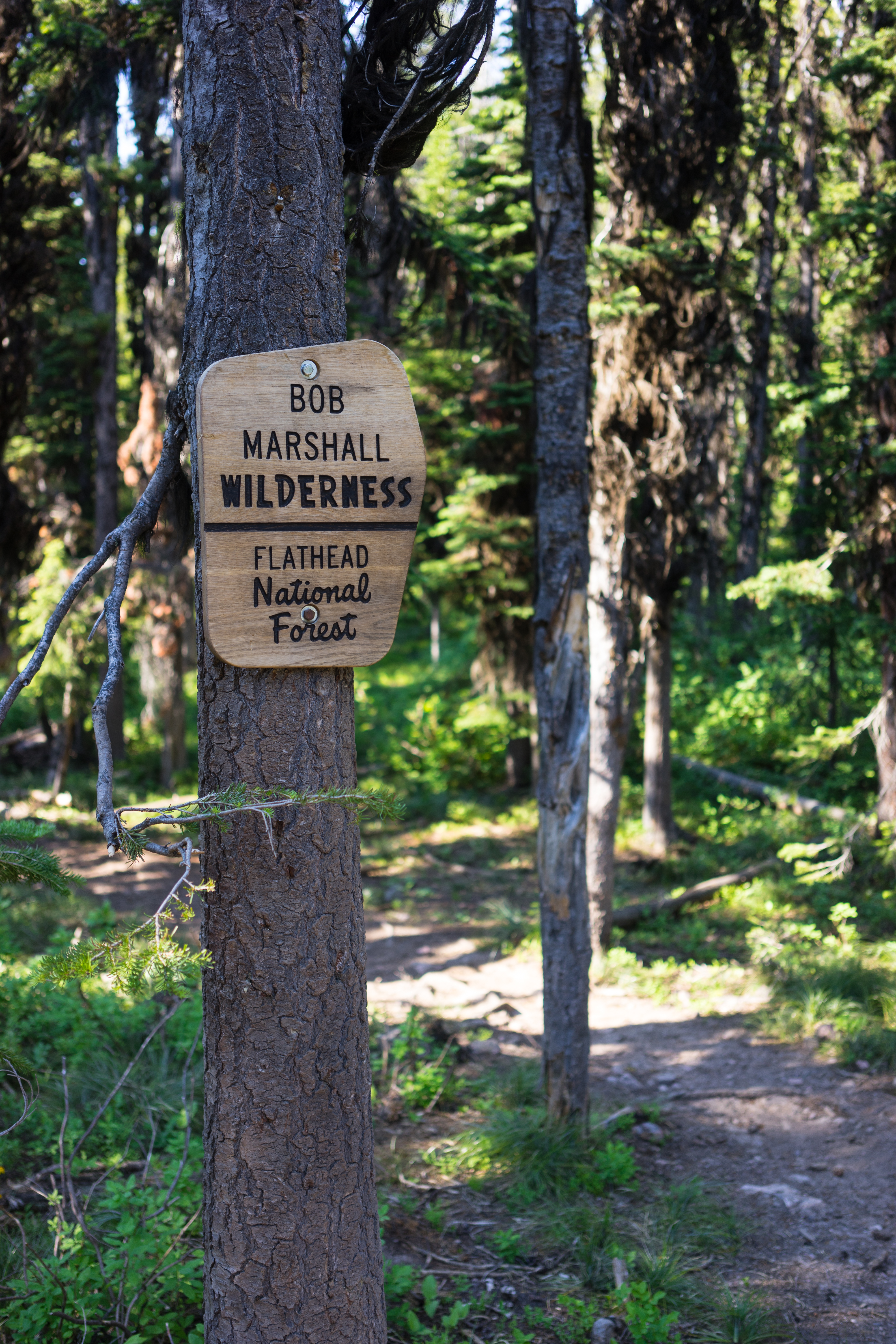
Bob Marshall Wilderness
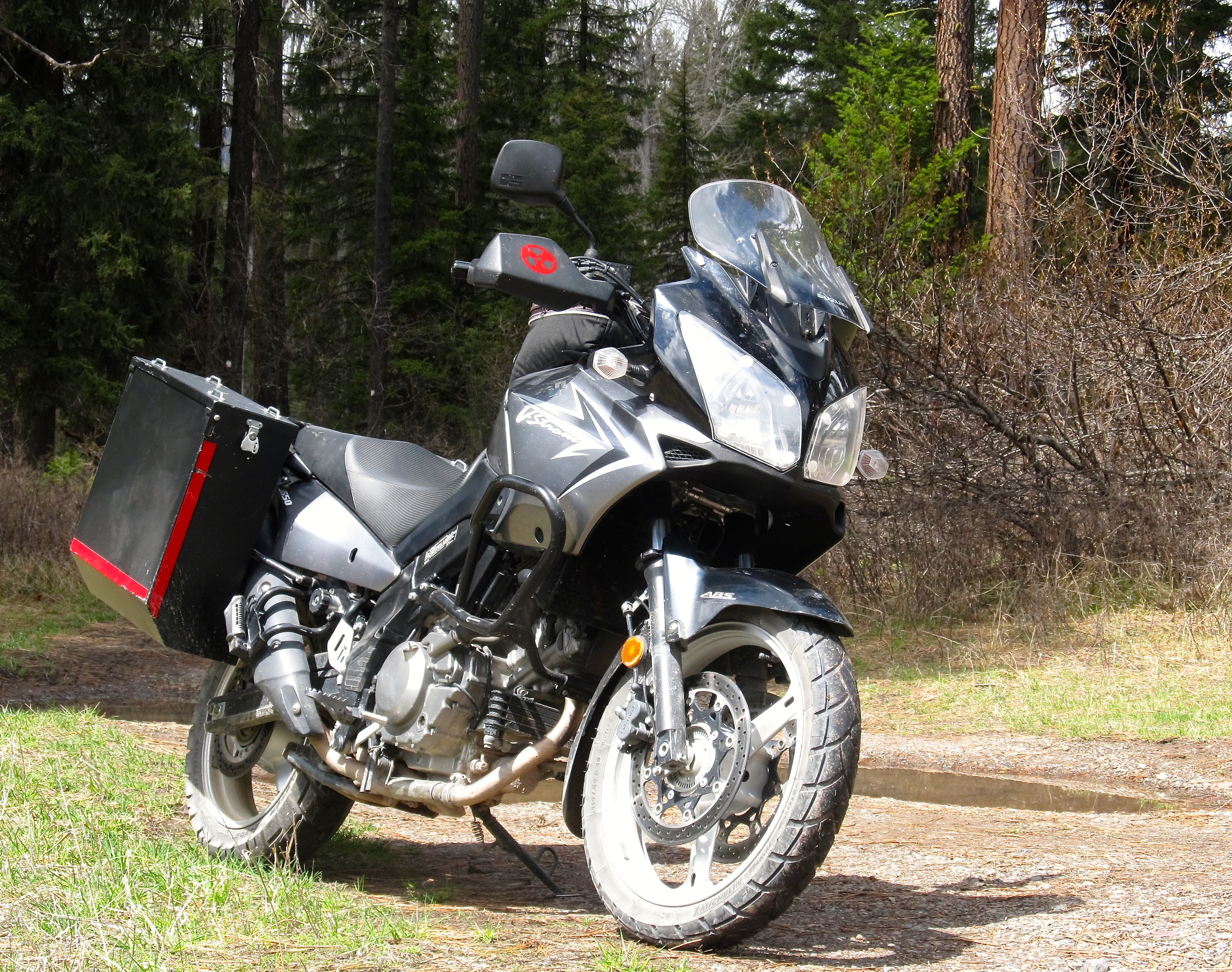
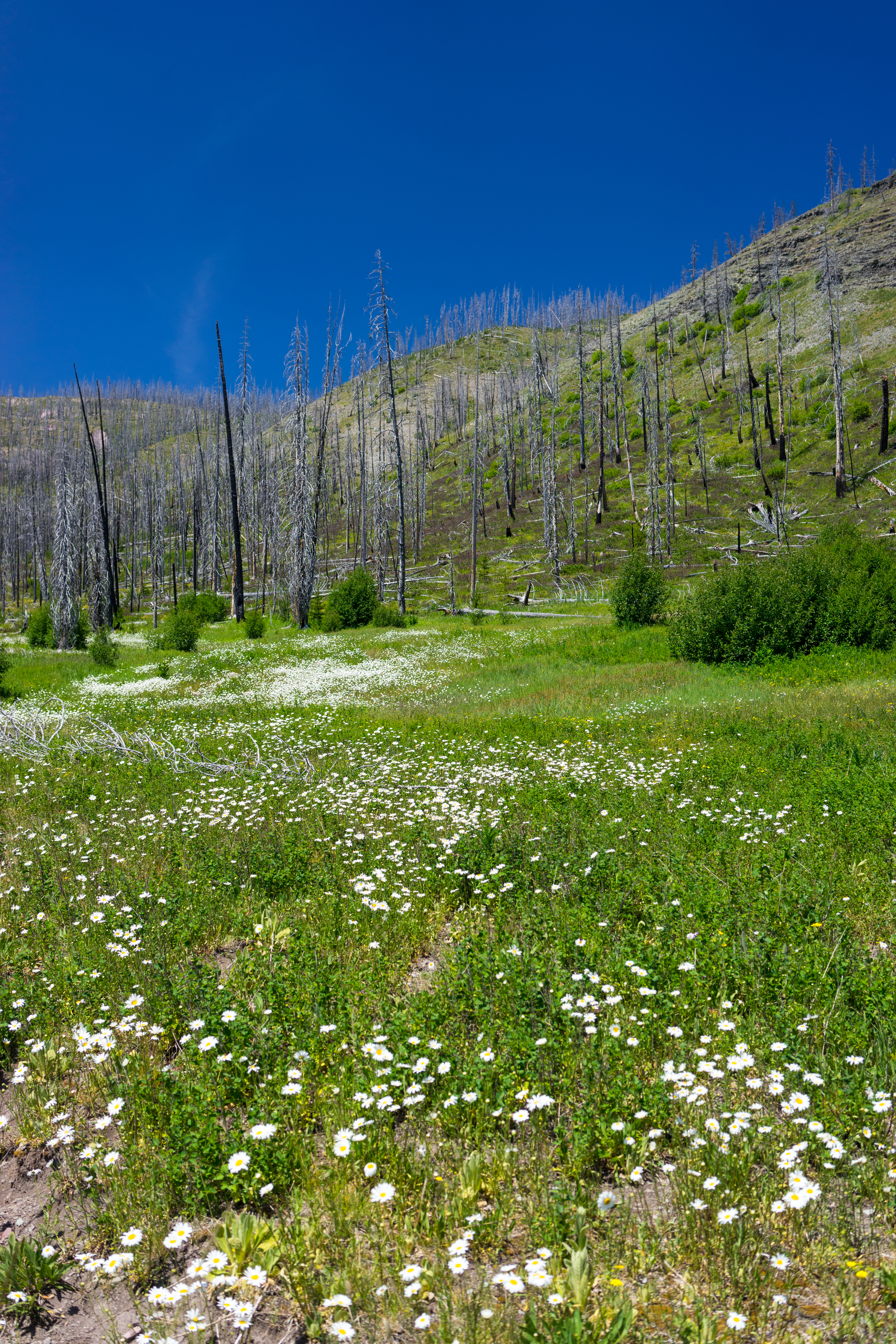
In Montana.

In the Pines. Montana
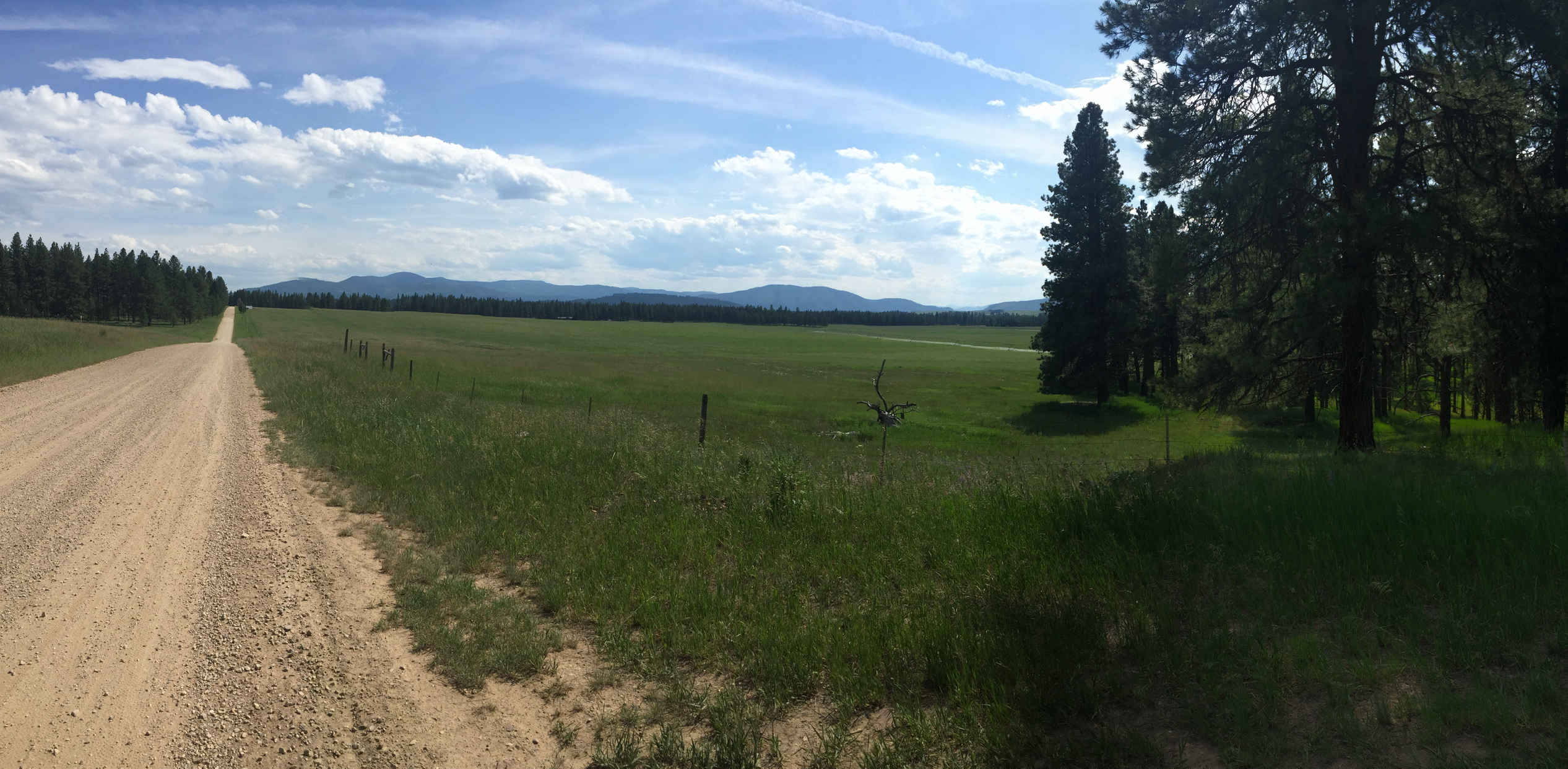
More shots from Richmond Pass and down to Ovando
Topographic Map of Omar Mountain, Montana, USA
Find elevation by address:

Places near Omar Mountain, Montana, USA:
Danaher Mountain
Monahan Mountain
Canyon Point
Tour Mountain
Monture Creek Campground
Mccabe Mountain
Concord Mountain
Alloy Mountain
Dunham Point
Ovando Mountain
Lake Mountain
Ursus Hill
Trident Peaks
Falls Point
Monture Mountain
4575 Cooper-blackfoot Rd
Ayres Peak
Observation Point
Ovando
Flint Mountain
Recent Searches:
- Elevation of Corso Fratelli Cairoli, 35, Macerata MC, Italy
- Elevation of Tallevast Rd, Sarasota, FL, USA
- Elevation of 4th St E, Sonoma, CA, USA
- Elevation of Black Hollow Rd, Pennsdale, PA, USA
- Elevation of Oakland Ave, Williamsport, PA, USA
- Elevation of Pedrógão Grande, Portugal
- Elevation of Klee Dr, Martinsburg, WV, USA
- Elevation of Via Roma, Pieranica CR, Italy
- Elevation of Tavkvetili Mountain, Georgia
- Elevation of Hartfords Bluff Cir, Mt Pleasant, SC, USA