Elevation of Canyon Point, Montana, USA
Location: United States > Montana > Lincoln >
Longitude: -113.01977
Latitude: 47.2282749
Elevation: 2277m / 7470feet
Barometric Pressure: 77KPa
Elevation Map:
Satellite Map:
Related Photos:
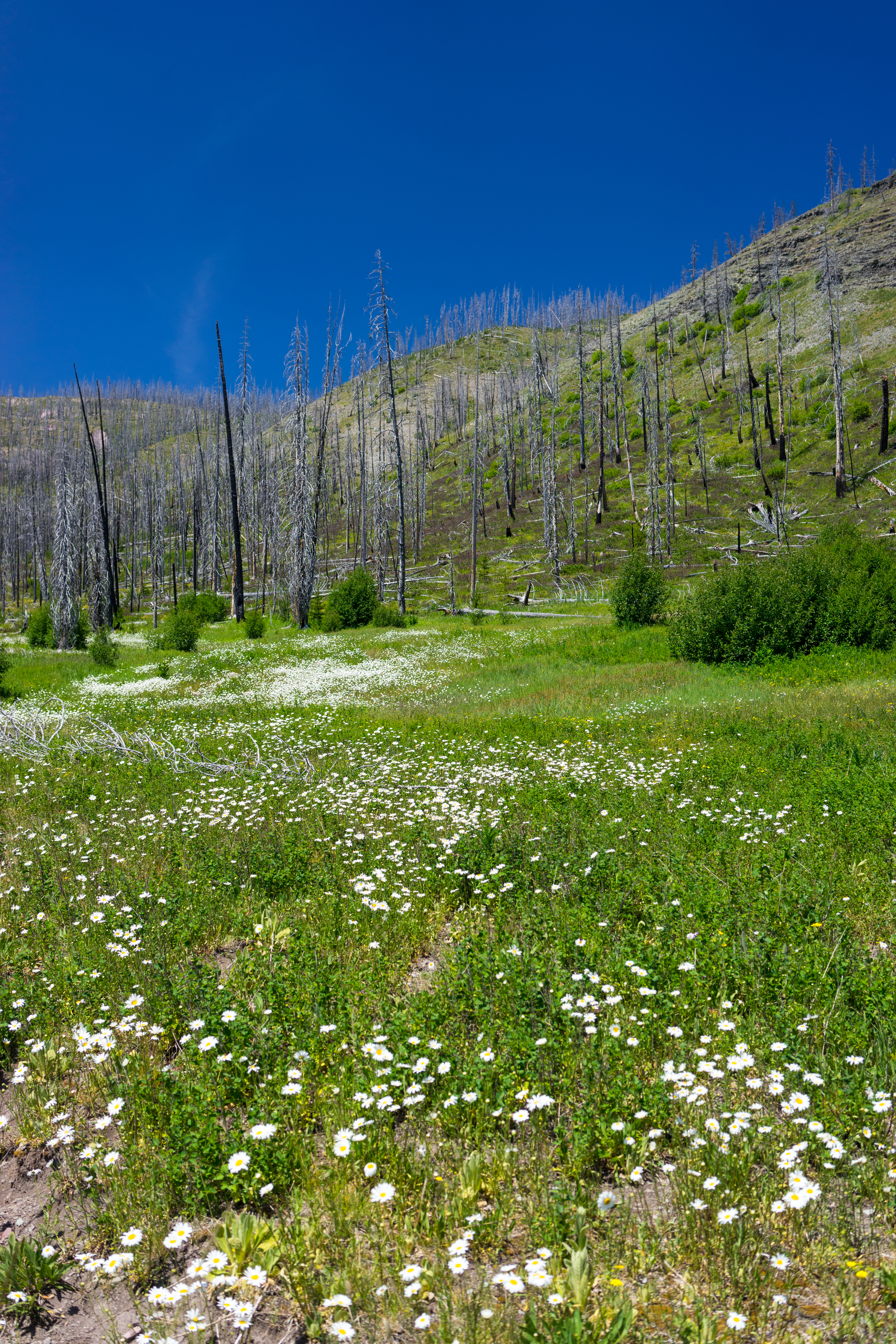
Lodgepole Creek Trail

Besökare Samtidigt

In Montana.

In the Pines. Montana

Turn around point. Montana
Topographic Map of Canyon Point, Montana, USA
Find elevation by address:

Places near Canyon Point, Montana, USA:
Danaher Mountain
Concord Mountain
Omar Mountain
Lake Mountain
Falls Point
Mccabe Mountain
Trident Peaks
Ovando Mountain
Monahan Mountain
Ursus Hill
Tour Mountain
Observation Point
Alloy Mountain
Flint Mountain
4575 Cooper-blackfoot Rd
Monture Creek Campground
Echo Mountain
Ayres Peak
Sugarloaf Mountain
White Tail Ranch
Recent Searches:
- Elevation of Corso Fratelli Cairoli, 35, Macerata MC, Italy
- Elevation of Tallevast Rd, Sarasota, FL, USA
- Elevation of 4th St E, Sonoma, CA, USA
- Elevation of Black Hollow Rd, Pennsdale, PA, USA
- Elevation of Oakland Ave, Williamsport, PA, USA
- Elevation of Pedrógão Grande, Portugal
- Elevation of Klee Dr, Martinsburg, WV, USA
- Elevation of Via Roma, Pieranica CR, Italy
- Elevation of Tavkvetili Mountain, Georgia
- Elevation of Hartfords Bluff Cir, Mt Pleasant, SC, USA