Elevation of Danaher Mountain, Montana, USA
Location: United States > Montana > Lincoln >
Longitude: -113.04560
Latitude: 47.2671639
Elevation: 2436m / 7992feet
Barometric Pressure: 75KPa
Elevation Map:
Satellite Map:
Related Photos:
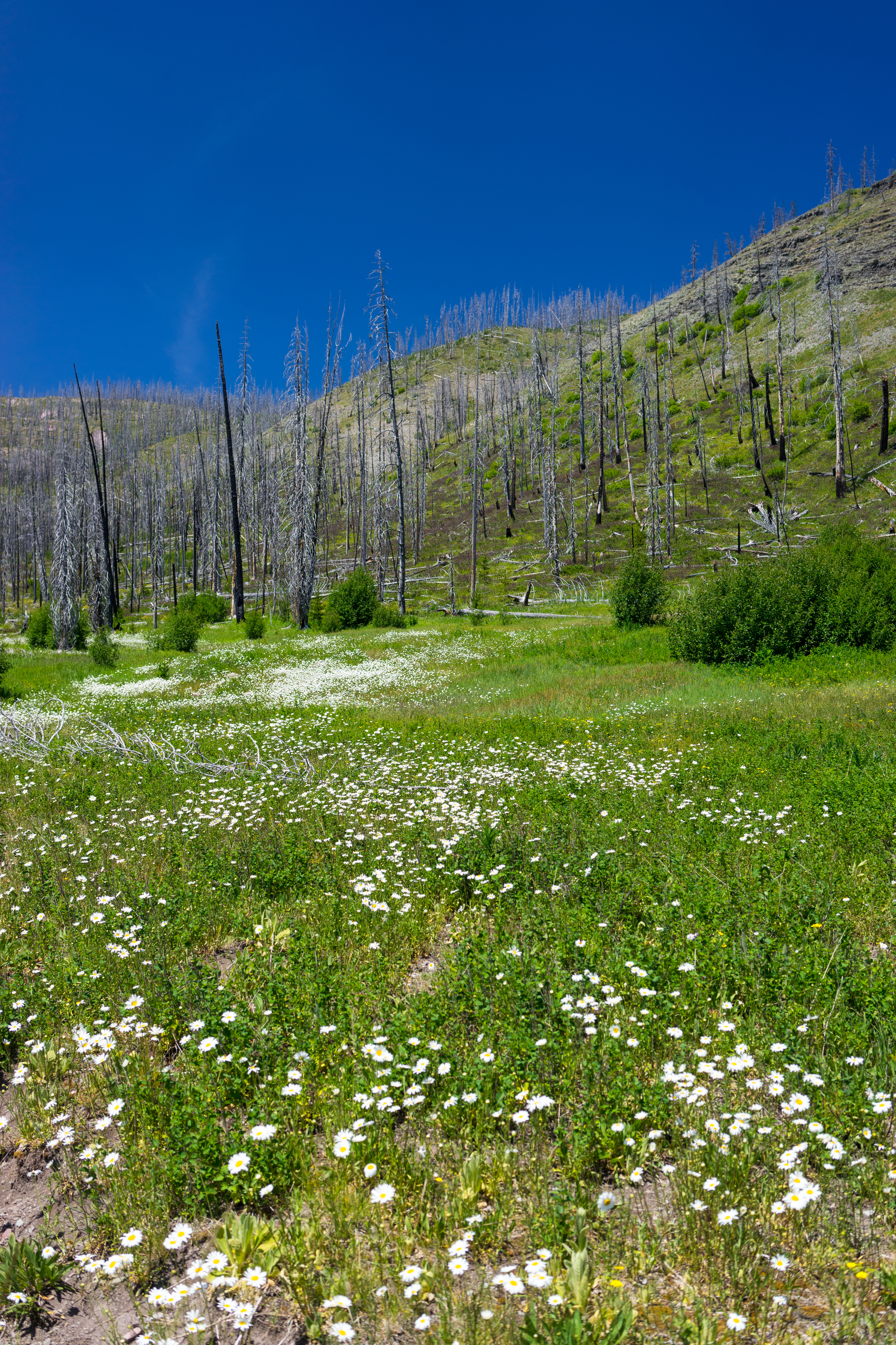
Lodgepole Creek Trail

Besökare Samtidigt
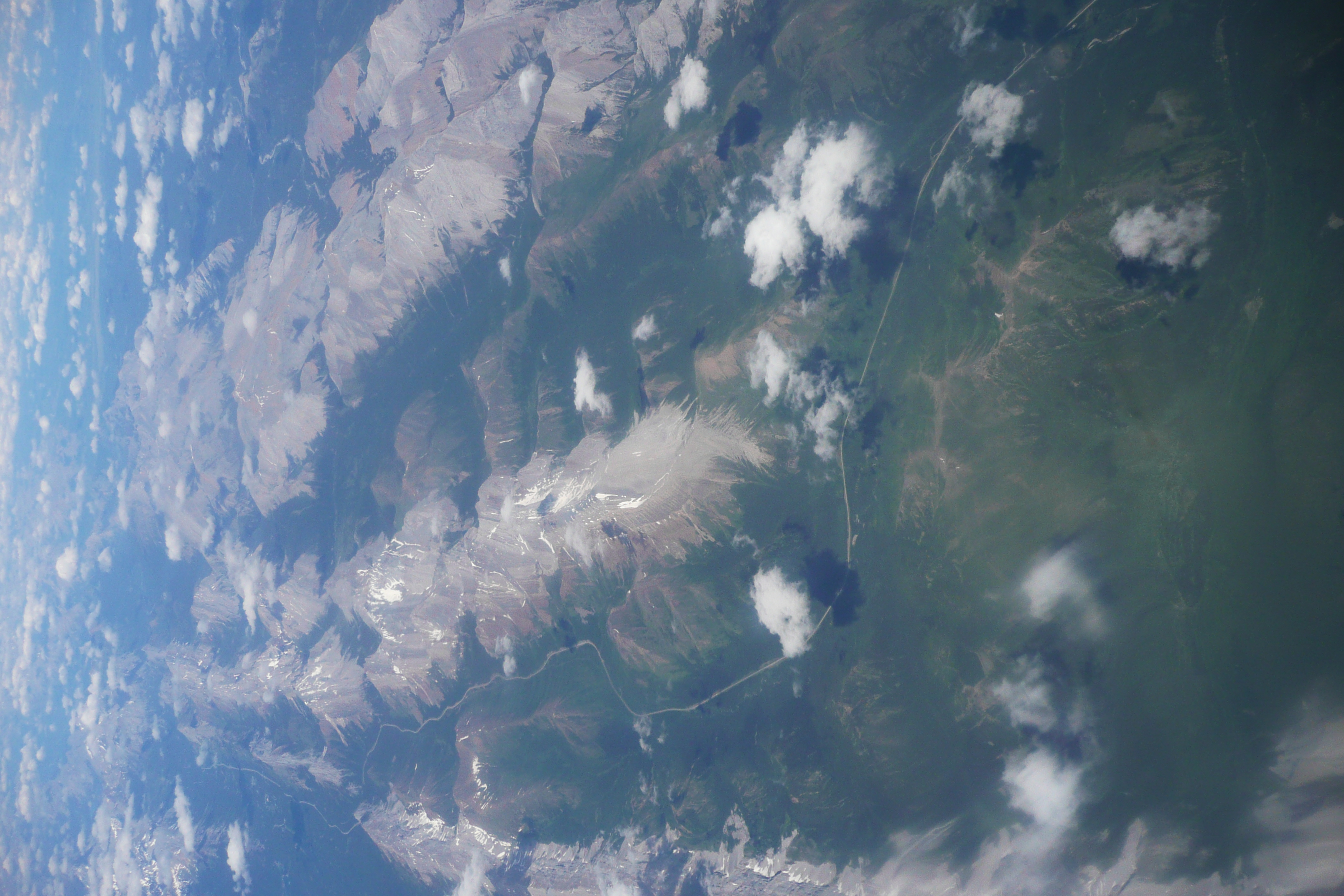
Somewhere over Canada / USA...
Topographic Map of Danaher Mountain, Montana, USA
Find elevation by address:

Places near Danaher Mountain, Montana, USA:
Concord Mountain
Canyon Point
Omar Mountain
Tour Mountain
Alloy Mountain
Ursus Hill
Monahan Mountain
Trident Peaks
Lake Mountain
Observation Point
Falls Point
Flint Mountain
Ayres Peak
Mccabe Mountain
Sugarloaf Mountain
Ovando Mountain
Monture Creek Campground
Scarlet Mountain
Trap Mountain
Emerson Peak
Recent Searches:
- Elevation of Corso Fratelli Cairoli, 35, Macerata MC, Italy
- Elevation of Tallevast Rd, Sarasota, FL, USA
- Elevation of 4th St E, Sonoma, CA, USA
- Elevation of Black Hollow Rd, Pennsdale, PA, USA
- Elevation of Oakland Ave, Williamsport, PA, USA
- Elevation of Pedrógão Grande, Portugal
- Elevation of Klee Dr, Martinsburg, WV, USA
- Elevation of Via Roma, Pieranica CR, Italy
- Elevation of Tavkvetili Mountain, Georgia
- Elevation of Hartfords Bluff Cir, Mt Pleasant, SC, USA