Elevation of Observation Point, Montana, USA
Location: United States > Montana > Augusta >
Longitude: -112.93365
Latitude: 47.3457758
Elevation: 2576m / 8451feet
Barometric Pressure: 74KPa
Elevation Map:
Satellite Map:
Related Photos:
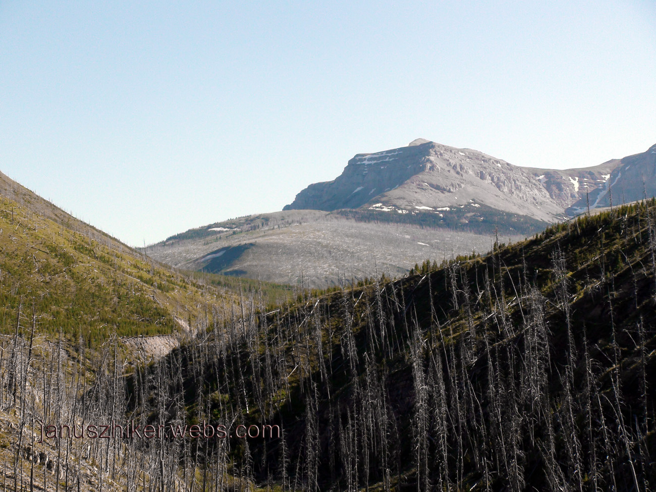
First Alpine Views
Topographic Map of Observation Point, Montana, USA
Find elevation by address:

Places near Observation Point, Montana, USA:
Flint Mountain
Trident Peaks
Sugarloaf Mountain
Cigarette Rock
Concord Mountain
Ursus Hill
Ayres Peak
Falls Point
Halfmoon Peak
Wood Creek Hogback
Danaher Mountain
Scarlet Mountain
Canyon Point
Alloy Mountain
Hoadley Reef
Crown Mountain
Lake Mountain
Cyanide Mountain
Renshaw Mountain
Trap Mountain
Recent Searches:
- Elevation of Corso Fratelli Cairoli, 35, Macerata MC, Italy
- Elevation of Tallevast Rd, Sarasota, FL, USA
- Elevation of 4th St E, Sonoma, CA, USA
- Elevation of Black Hollow Rd, Pennsdale, PA, USA
- Elevation of Oakland Ave, Williamsport, PA, USA
- Elevation of Pedrógão Grande, Portugal
- Elevation of Klee Dr, Martinsburg, WV, USA
- Elevation of Via Roma, Pieranica CR, Italy
- Elevation of Tavkvetili Mountain, Georgia
- Elevation of Hartfords Bluff Cir, Mt Pleasant, SC, USA